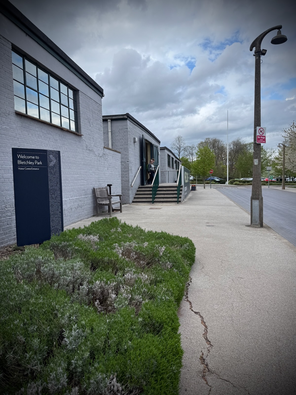
After an initial short ride outside Center Parcs Woburn Forest, during our Easter 2026 trip, I was keen to explore a bit further. With a trip planned to Bletchley Park, it seemed like a great opportunity for a ride.
In planning the route, I relied on the Cranfield Cycling blog, which was useful for the area near to Center Parcs. For the later sections of the ride, I relied on Komoot to provide a route, which was mostly successful.
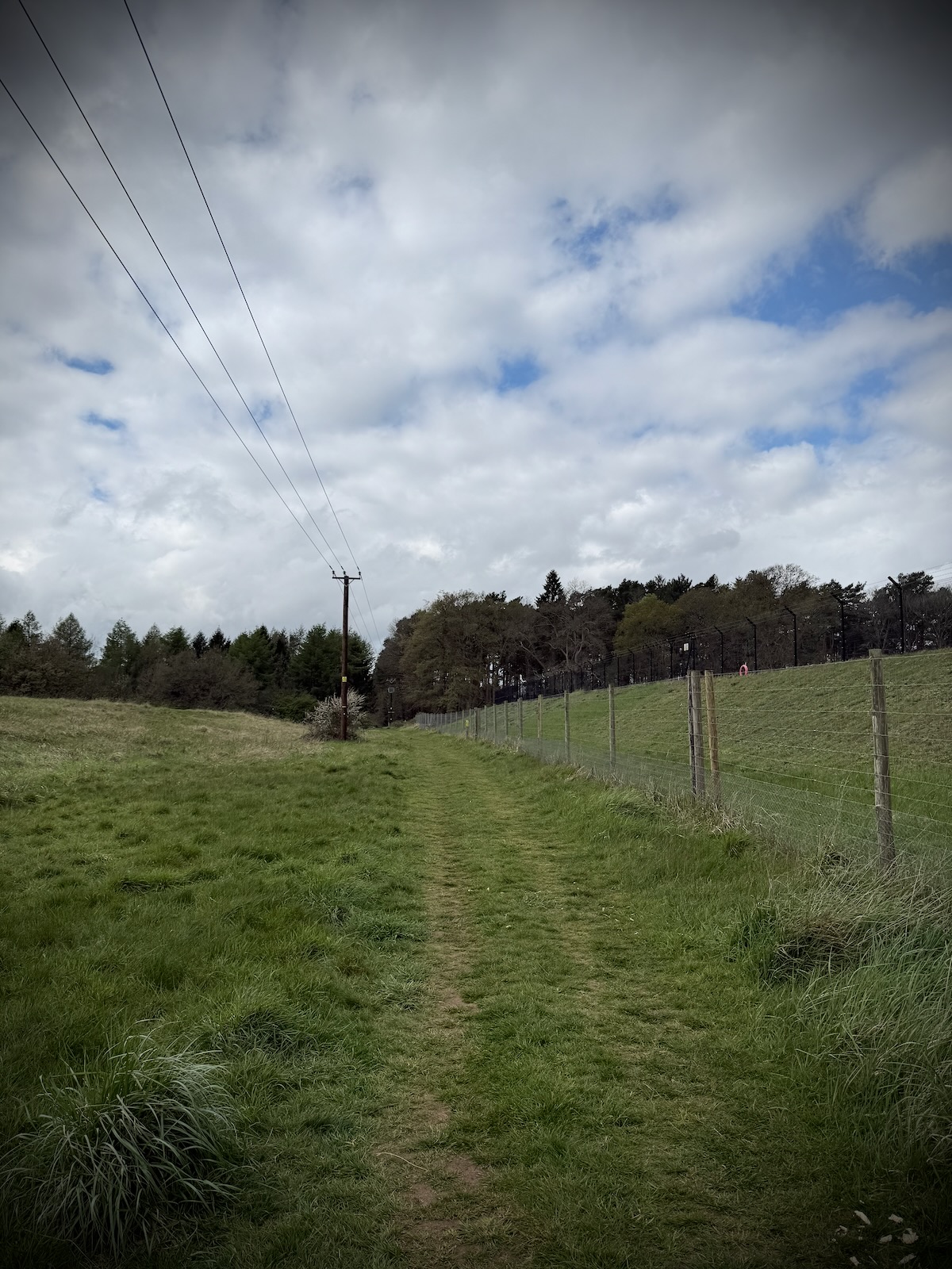
Leaving Center Parcs, I set off on the route covered in the Woburn Backroads ride. This started on the gravel path surrounding the Center Parcs perimeter fence that I covered in my last ride.
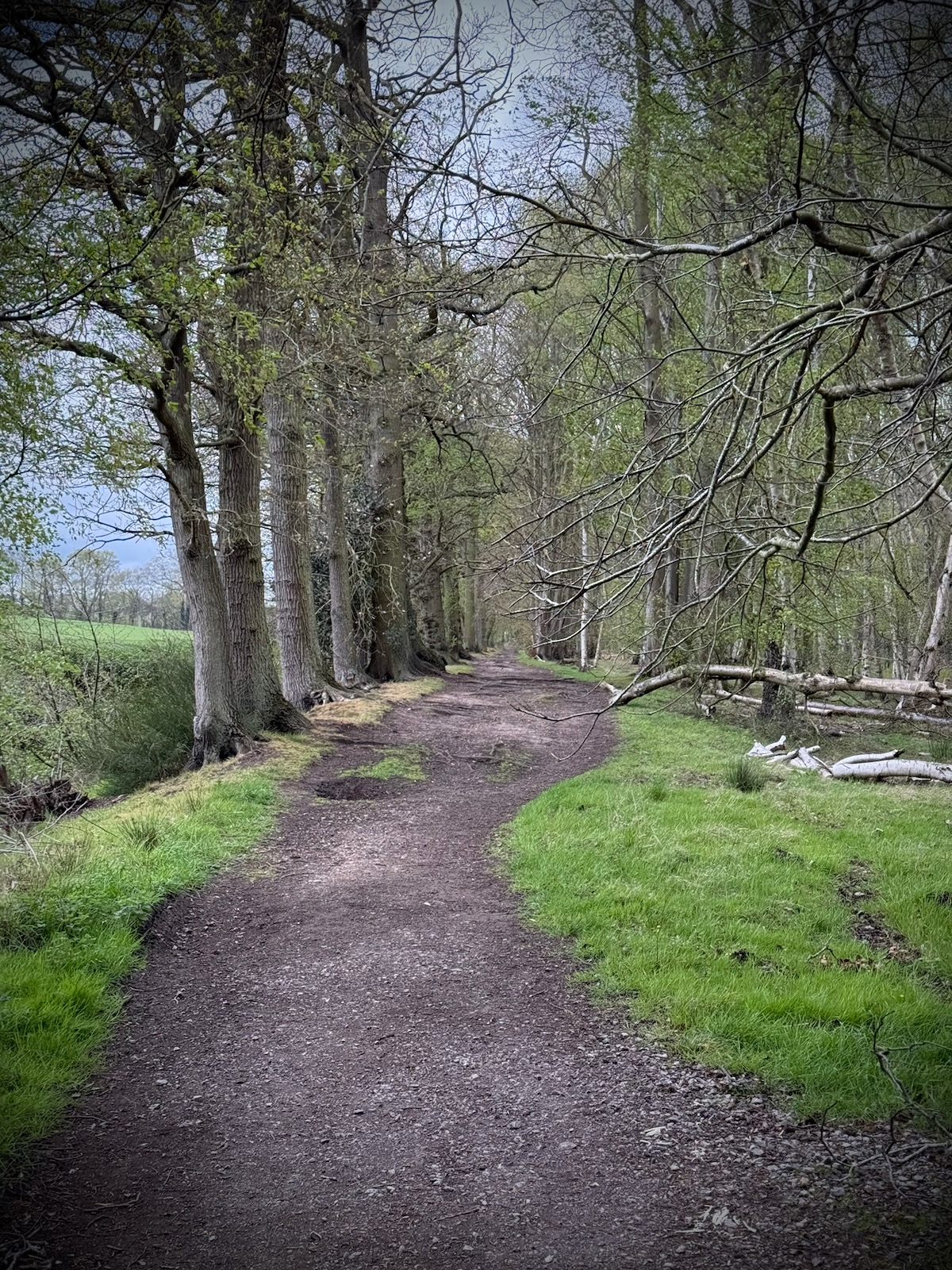
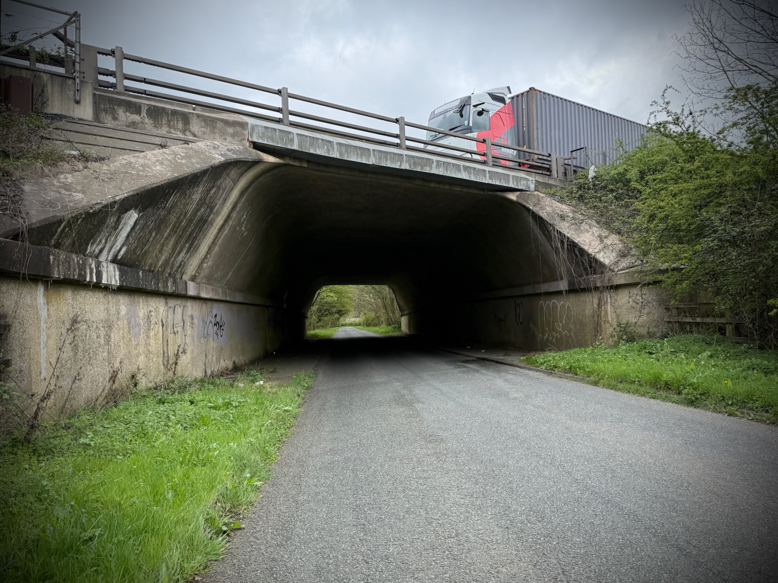
Continuing onto Rectory Road as I did on my last ride, I carried on straight and made my way to the M1 motorway. After passing under the motorway, I turned off onto the path across Wakes End Farm.
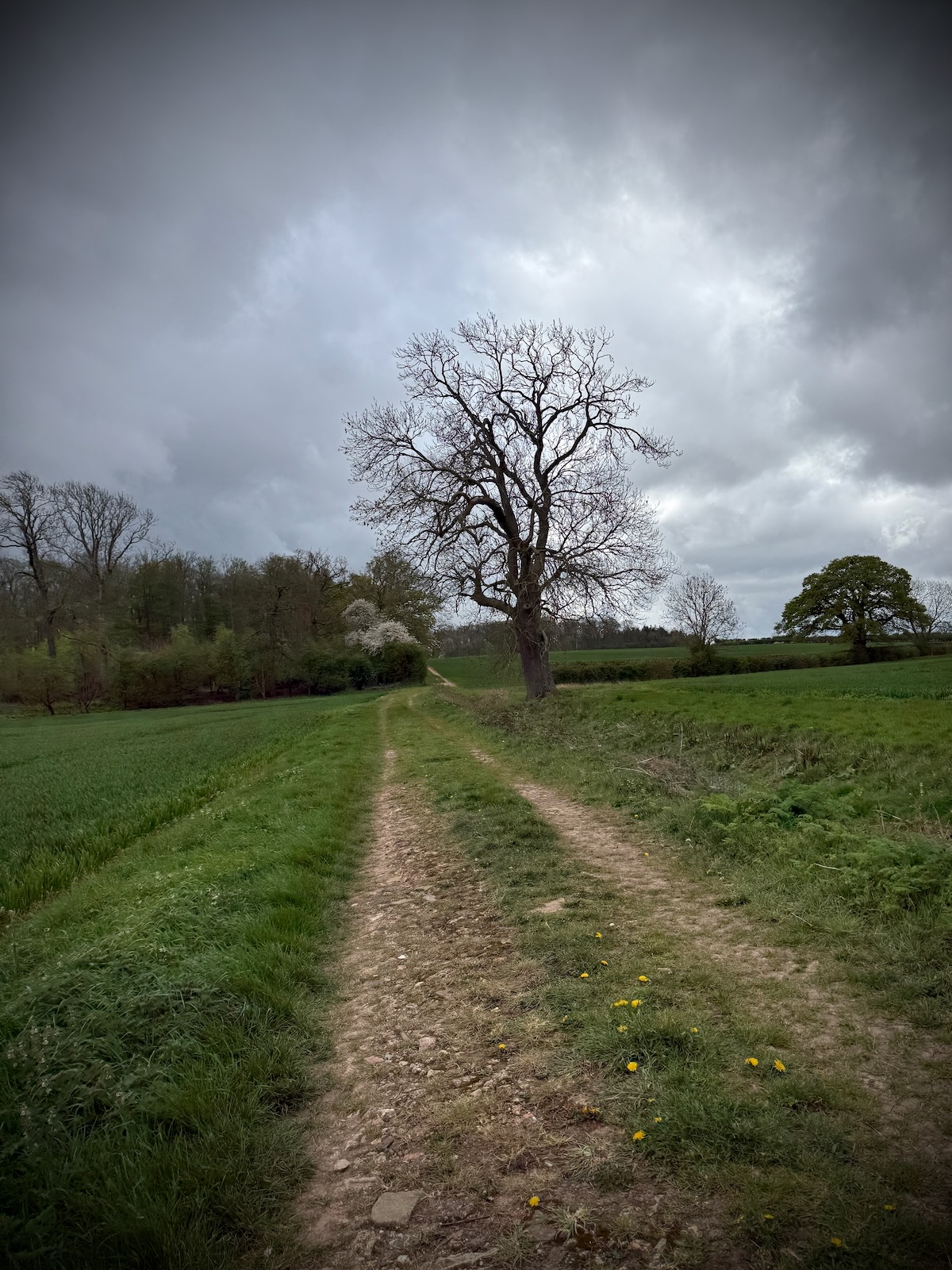
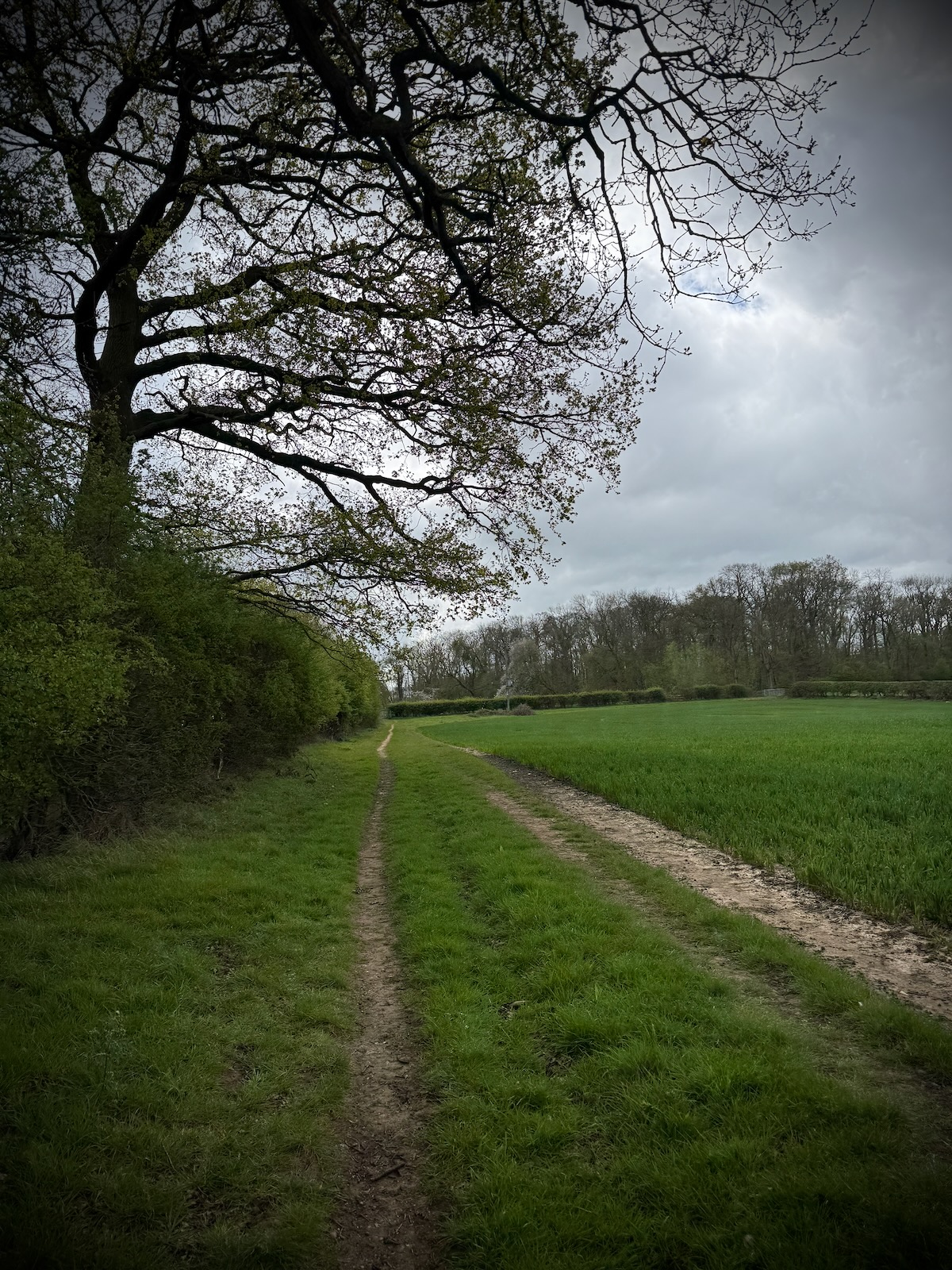
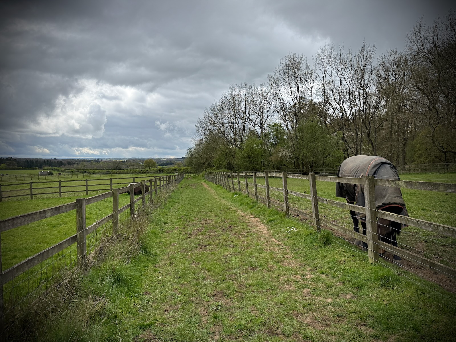
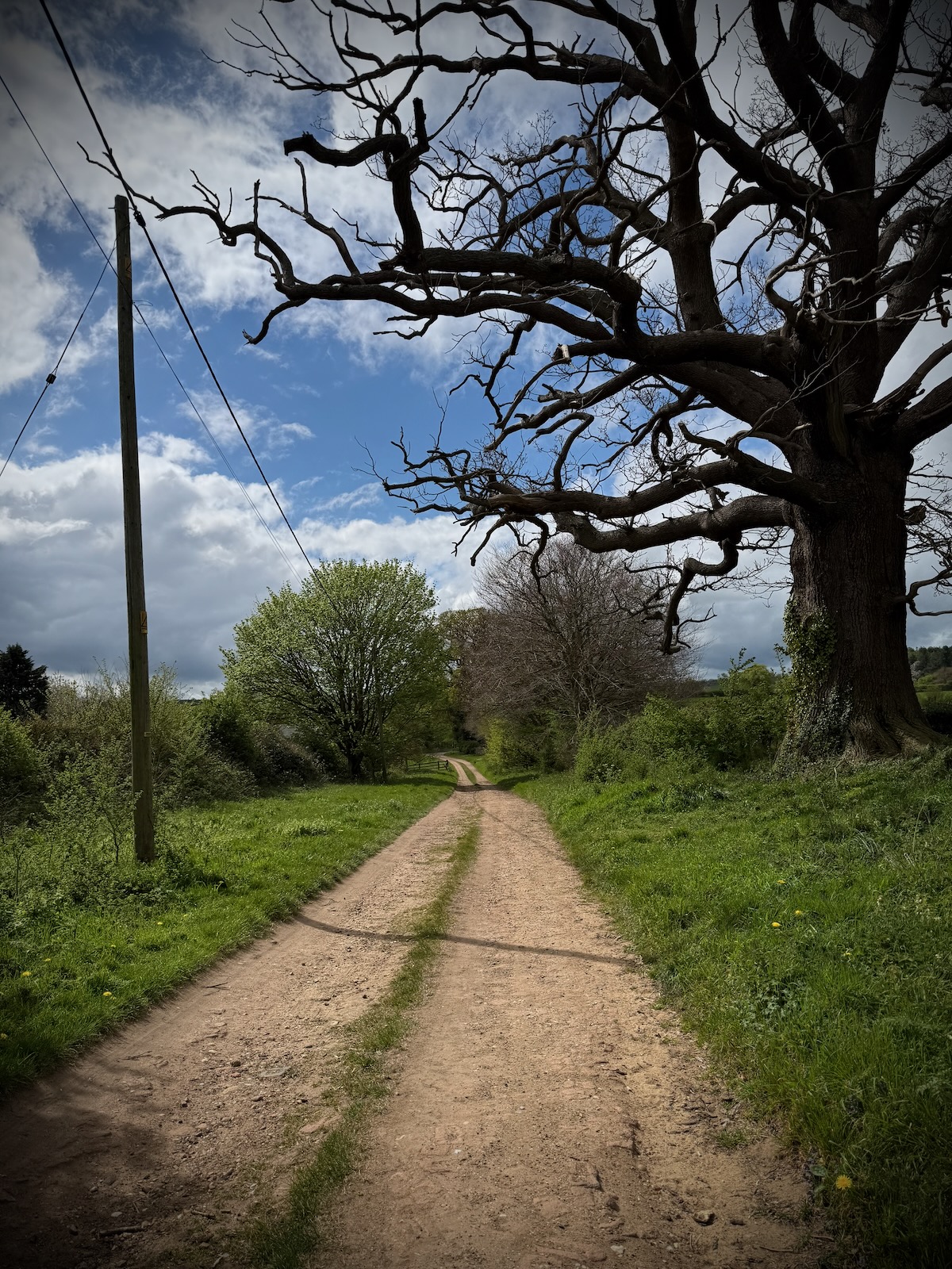
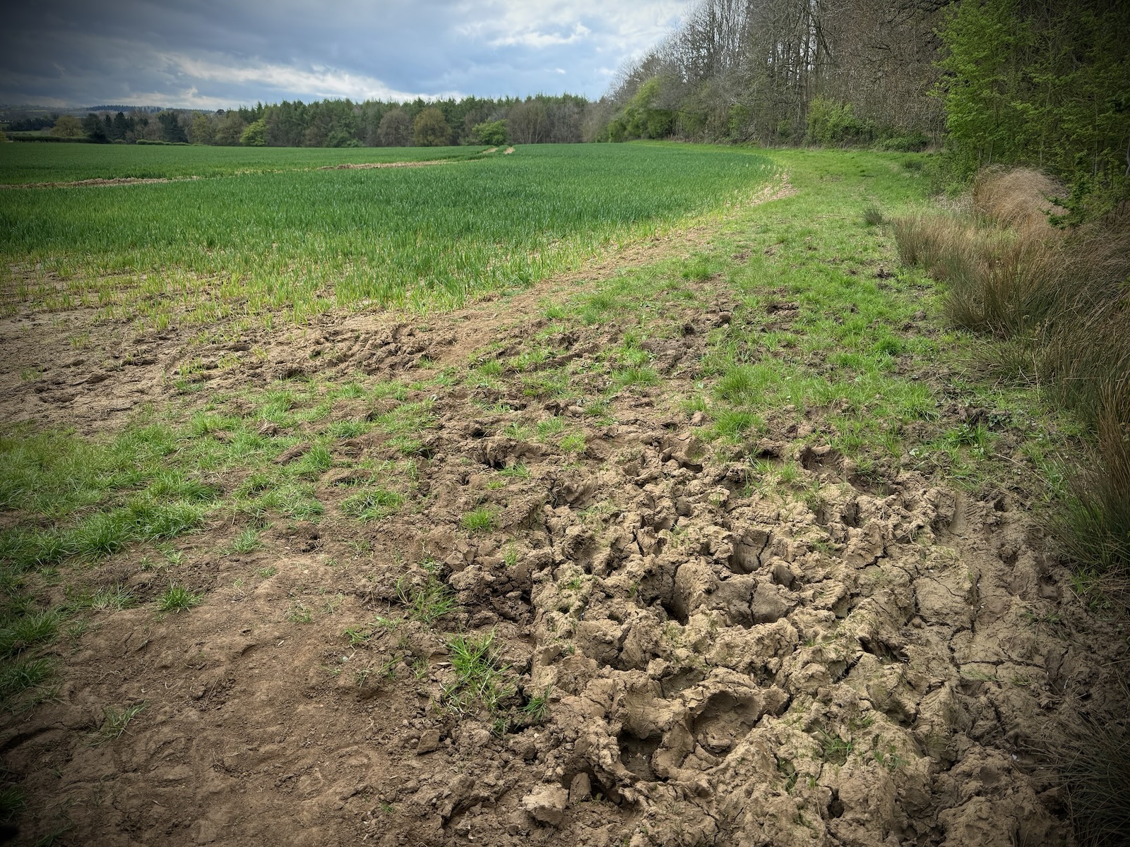
The path across the farm was pretty bumpy, but was at least dry thanks to the recent weather. I was particularly bad near the paddocks, where the ground was covered in hoof prints, from when it was muddy.
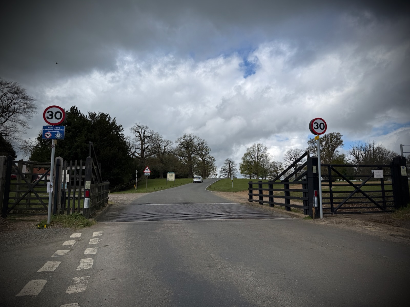
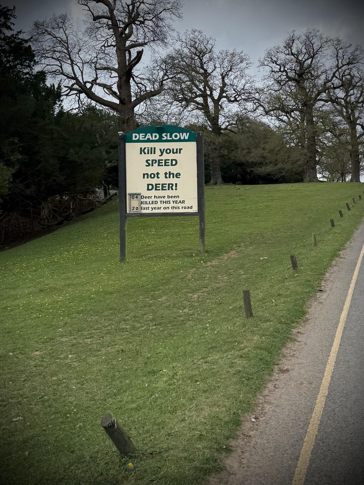
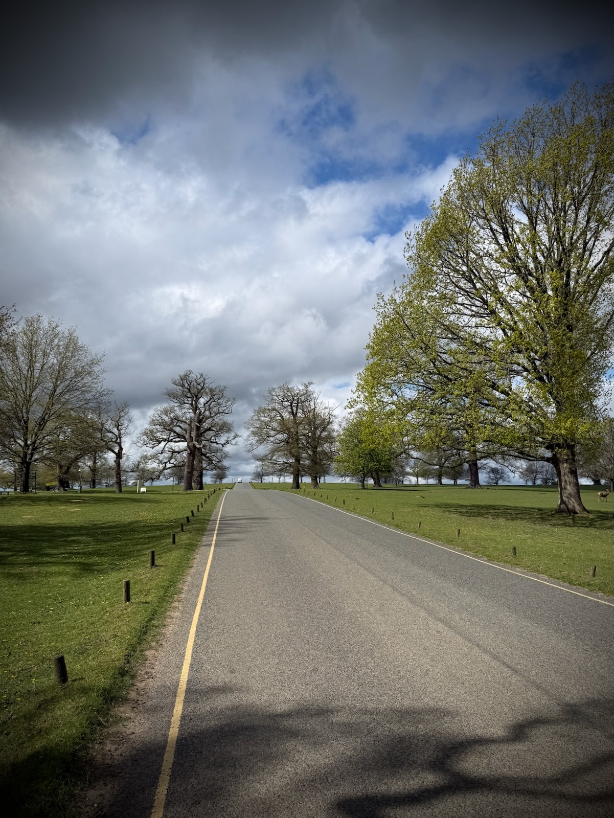
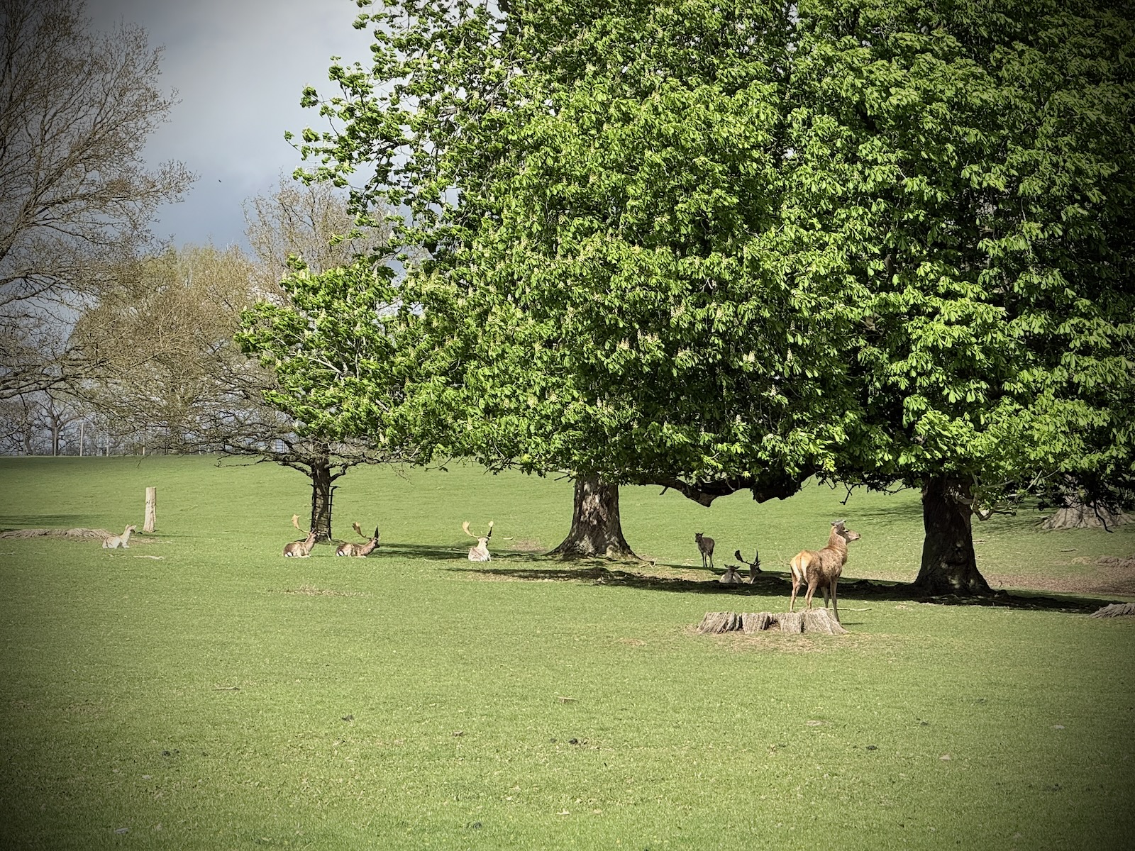
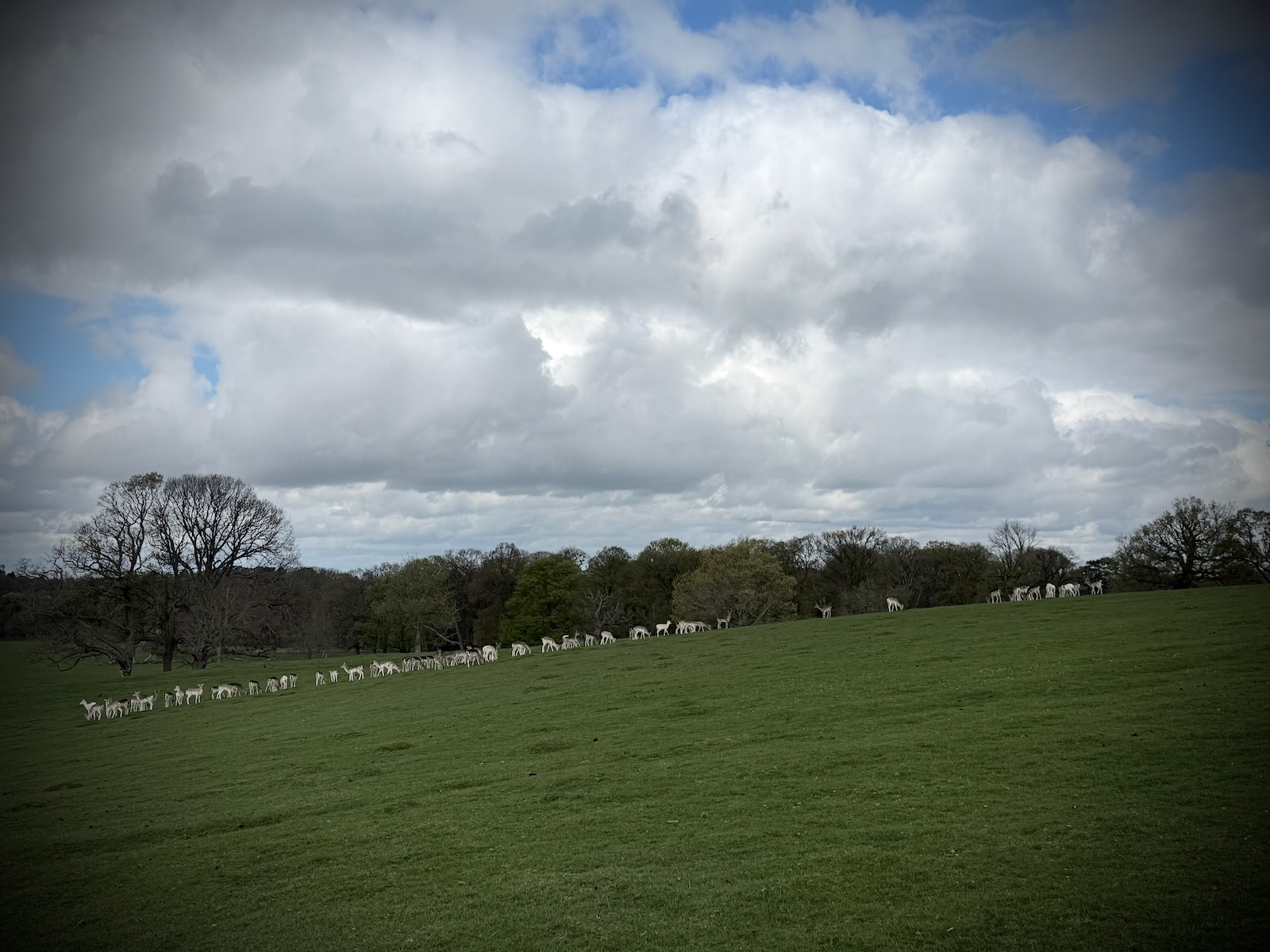
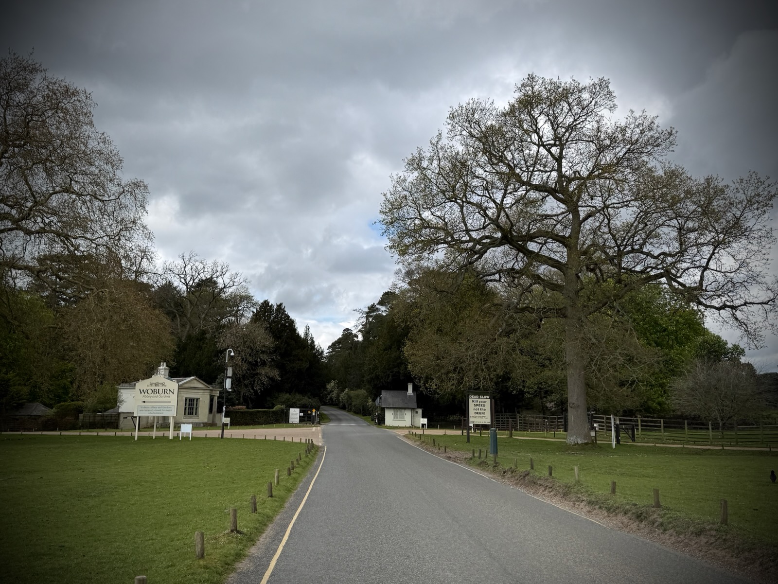
Leaving the farm, I turned right onto the C100 and made my way to Woburn Abbey Deer Park. Crossing the cattle grid, I made my way through the deer park, with a steady stream of cars passing me.
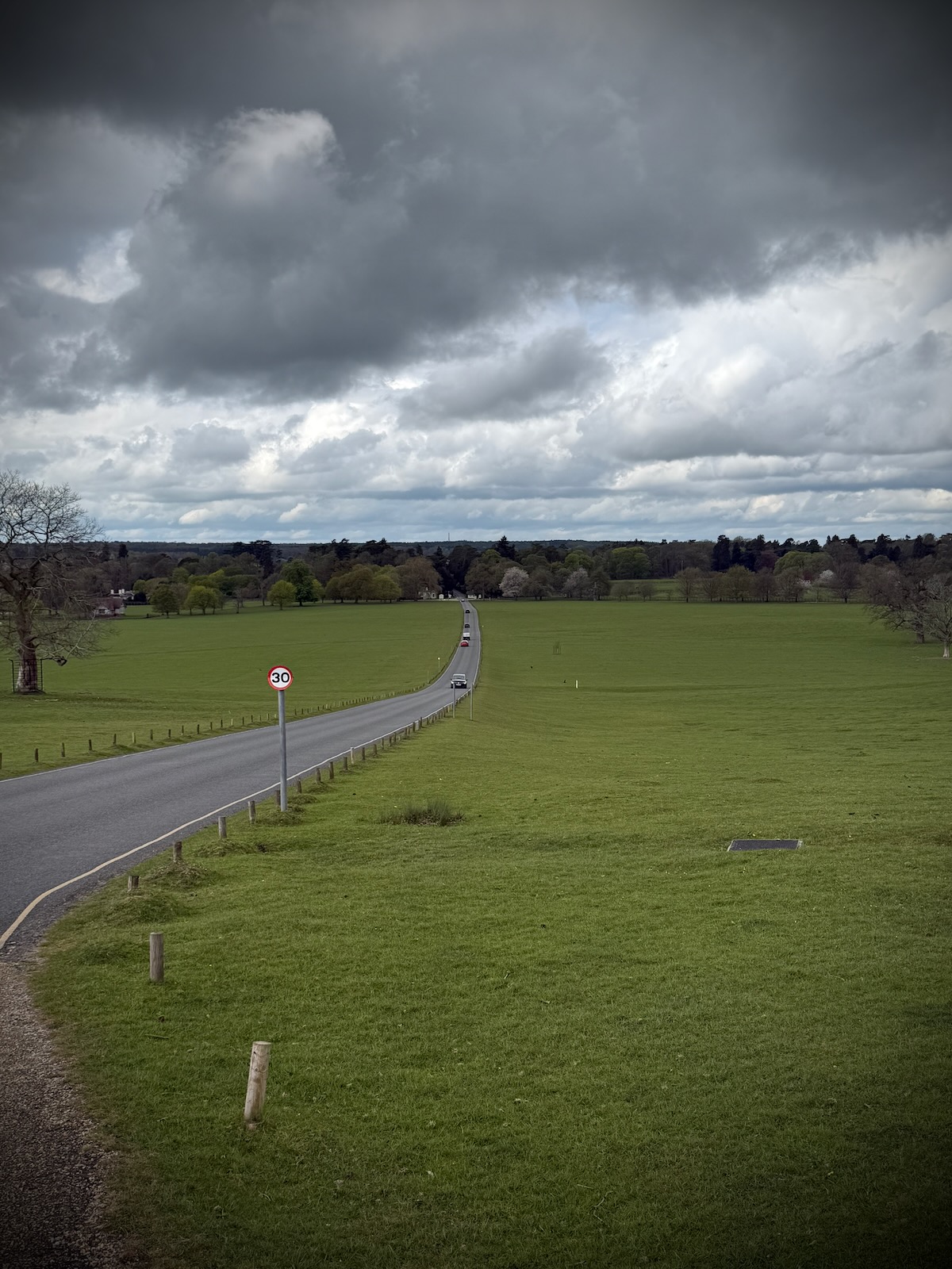
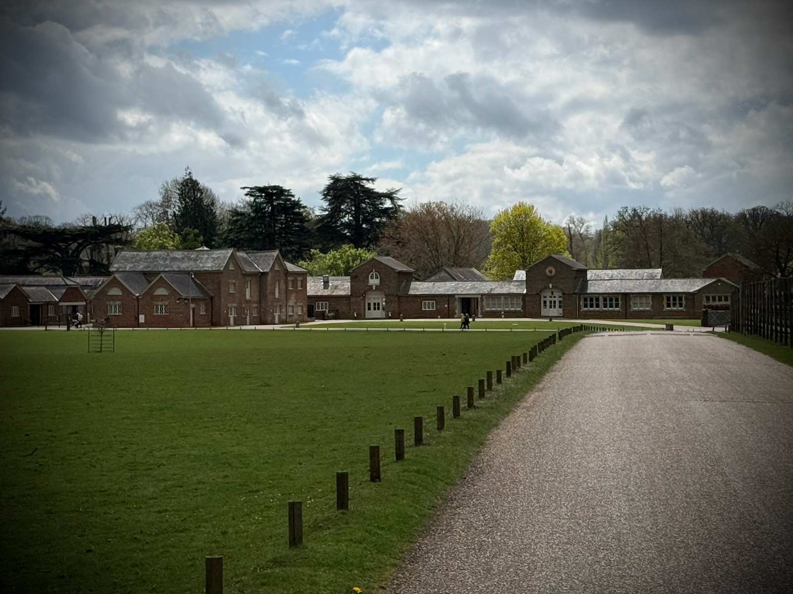
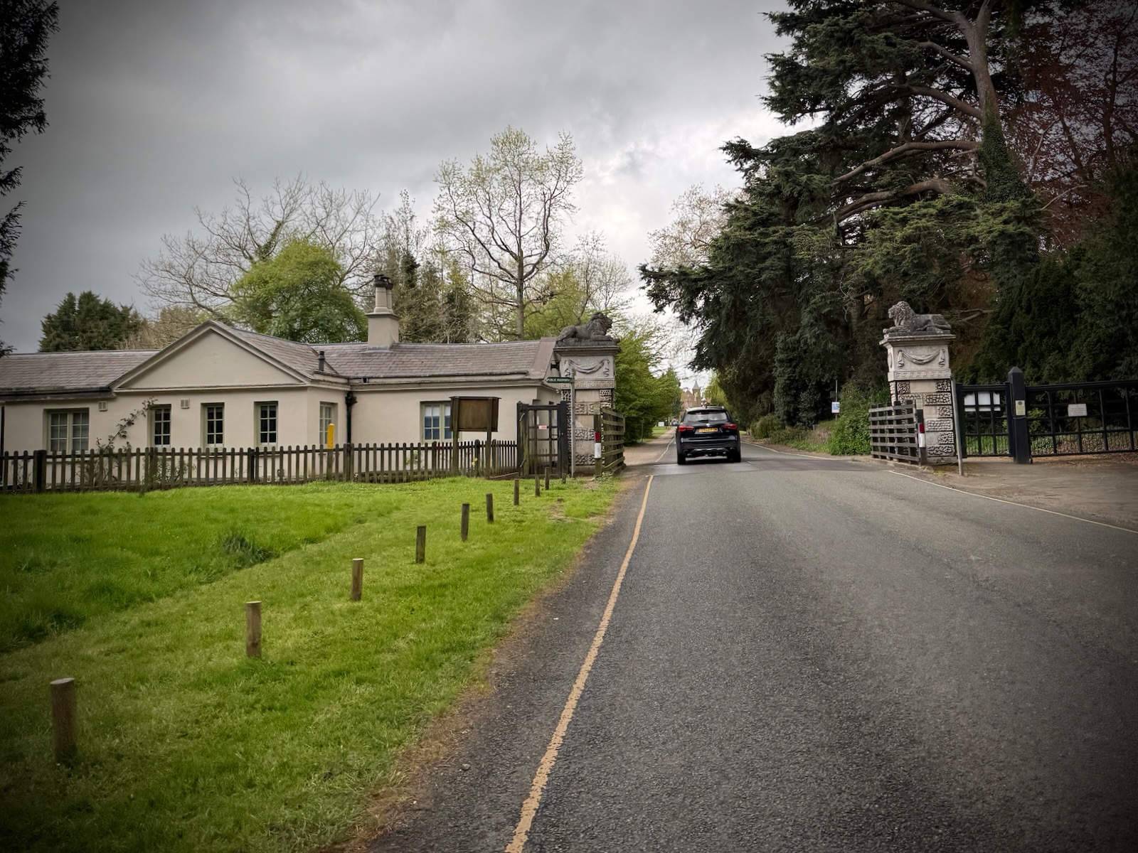
Stopping briefly for photos of the deer and surroundings, I carried on through the deer park then exited through the gates. I then arrived in Woburn itself, a historic Georgian village in Bedfordshire with some fantastic old buildings.
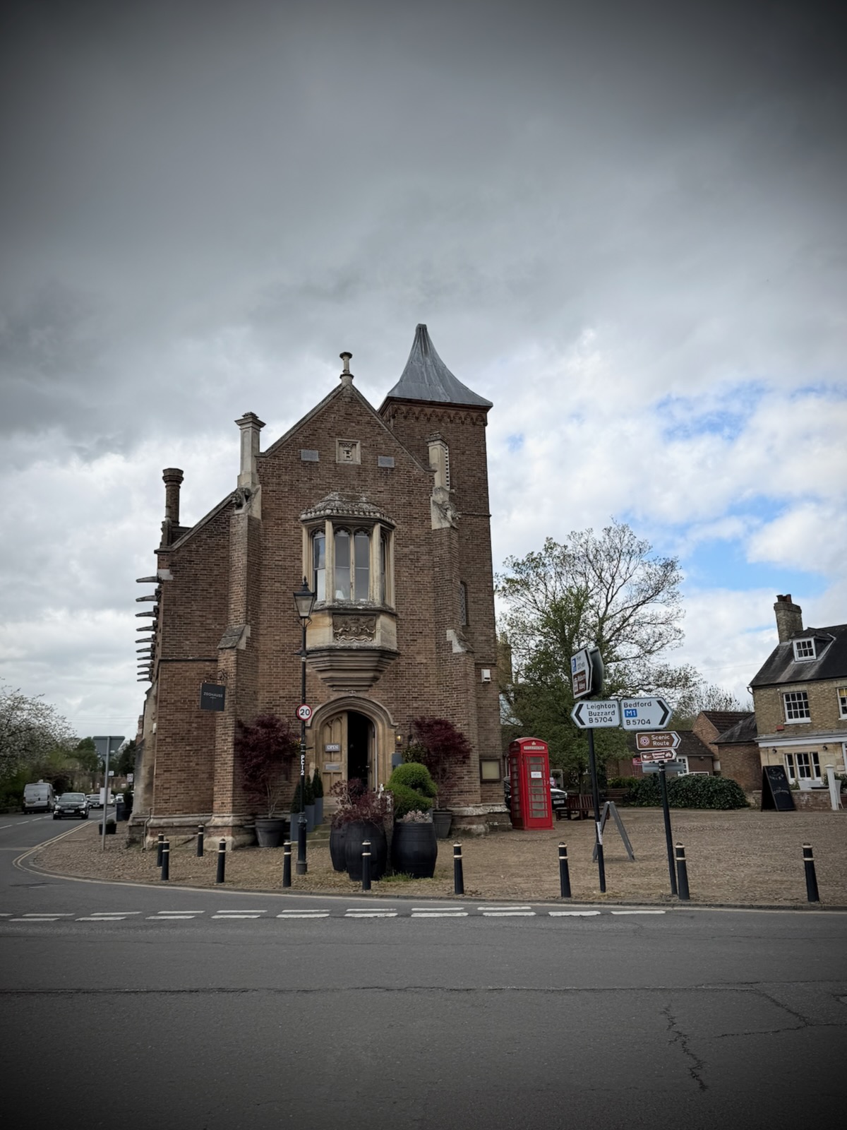
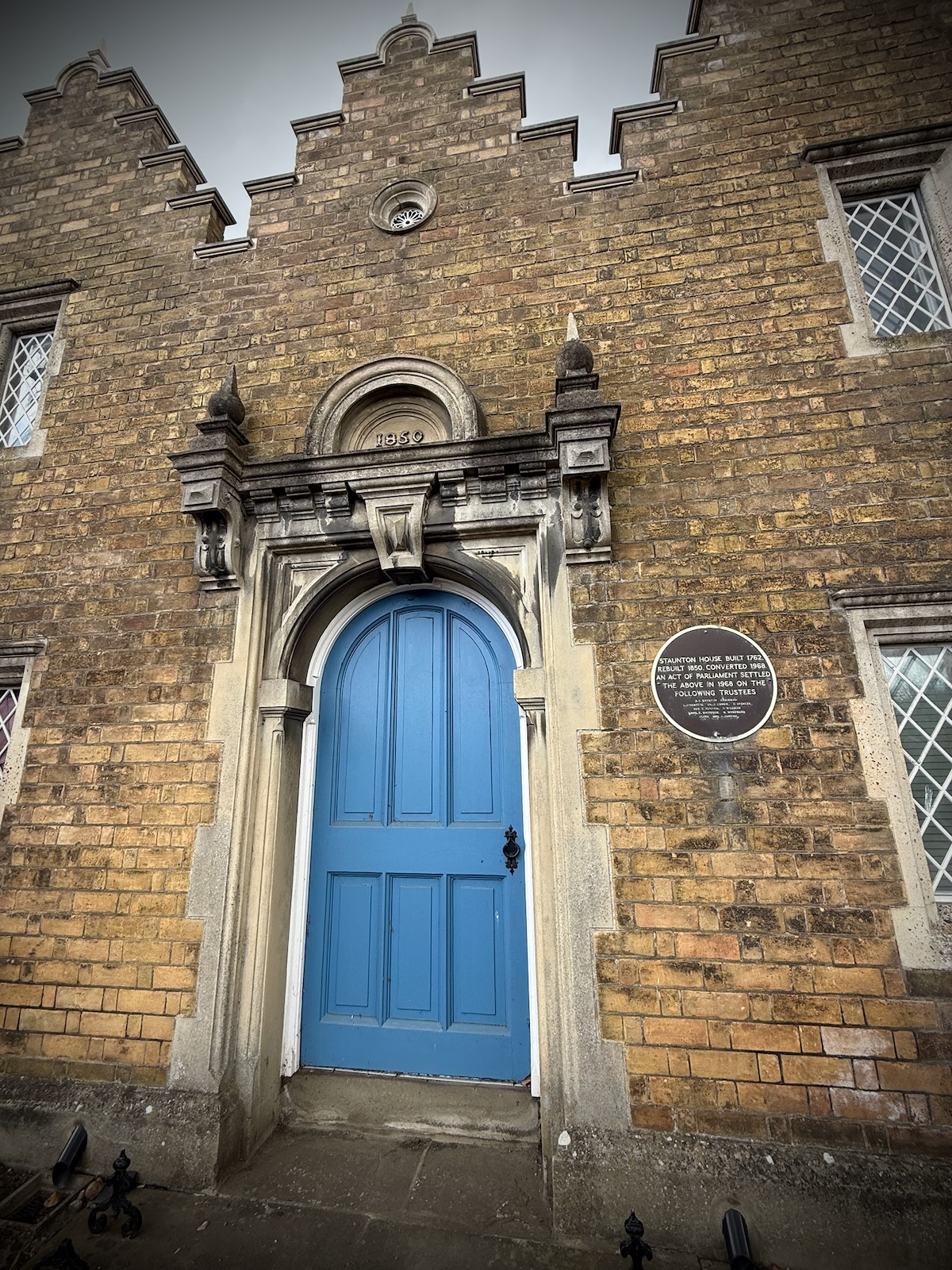
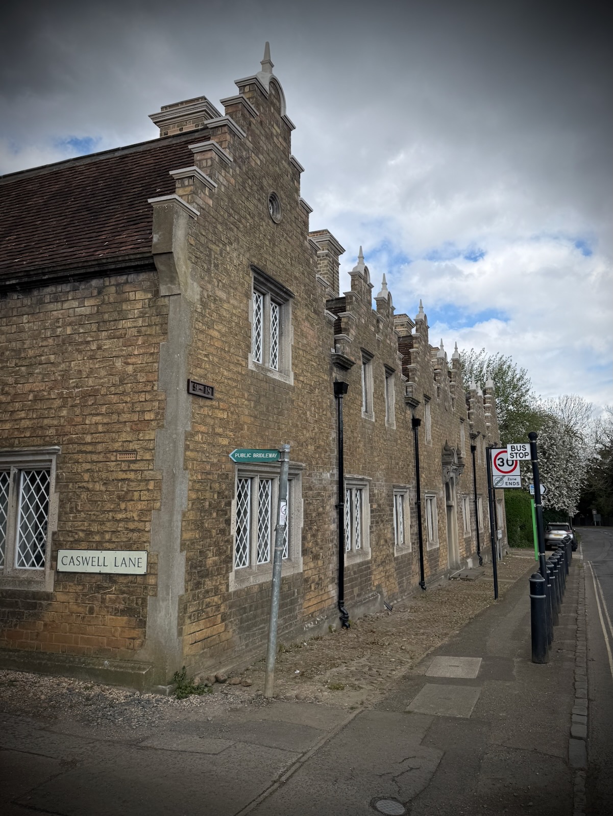
I turned right onto Newport Road and made my way out of the village, stopping to admire Staunton House. This includes a series of almshouses built for poor families in the nineteenth century.
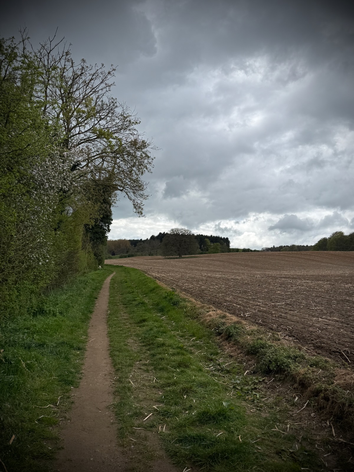
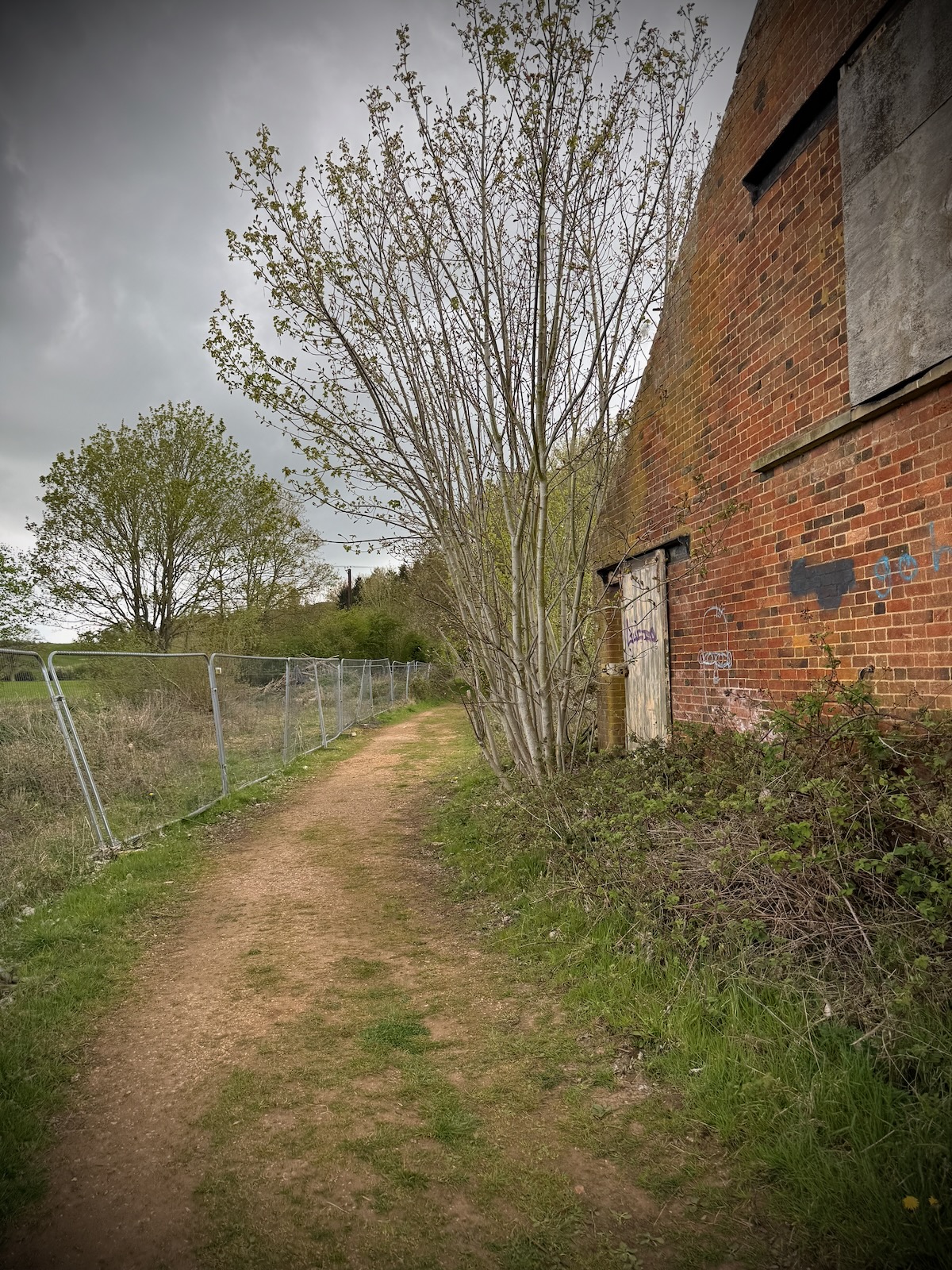
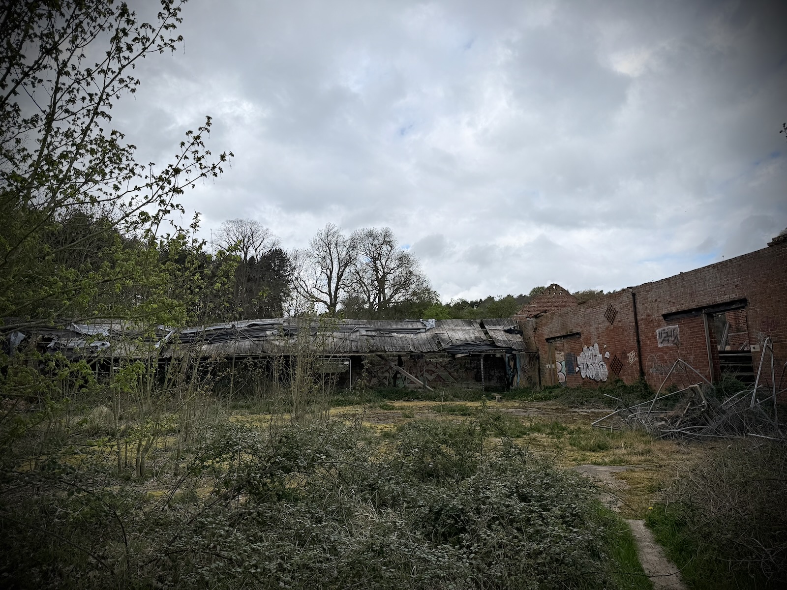
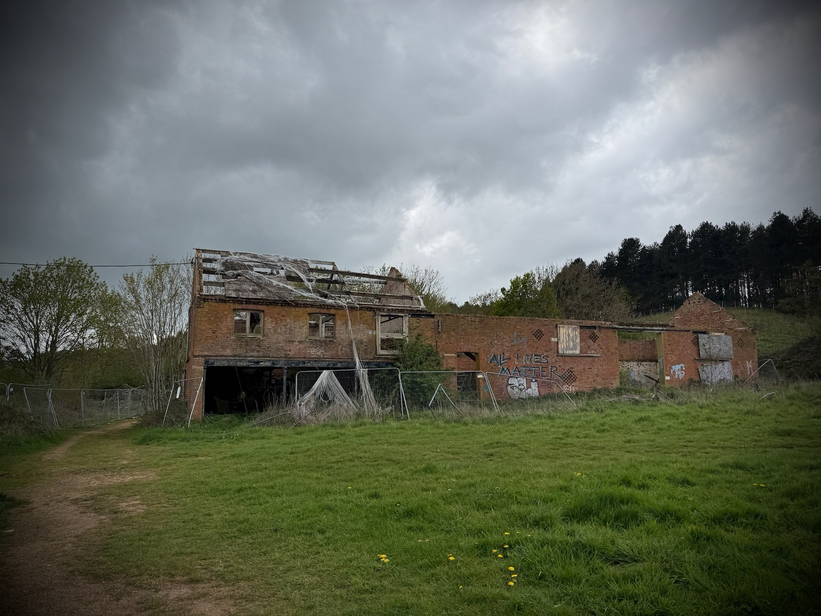
Once I’d made my way out of Woburn, I turned left onto another path next to a farmer’s field. This to a series of old ruined buildings, that looked like they used to be old farm buildings.
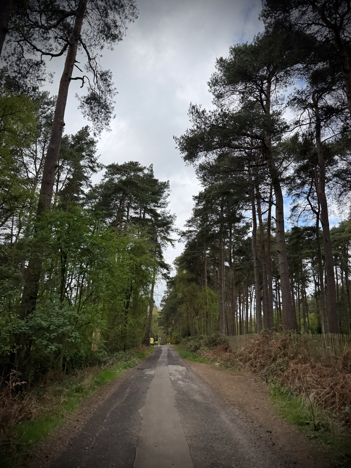
Turning right after the ruins, the path made its way up a fairly steep hill, with trees either side. At the top, the path flattened out as it made its may towards Aspley Woods. On the right was a small reservoir, with fencing around it. It not listed on any maps, so I’m not sure what it’s for.
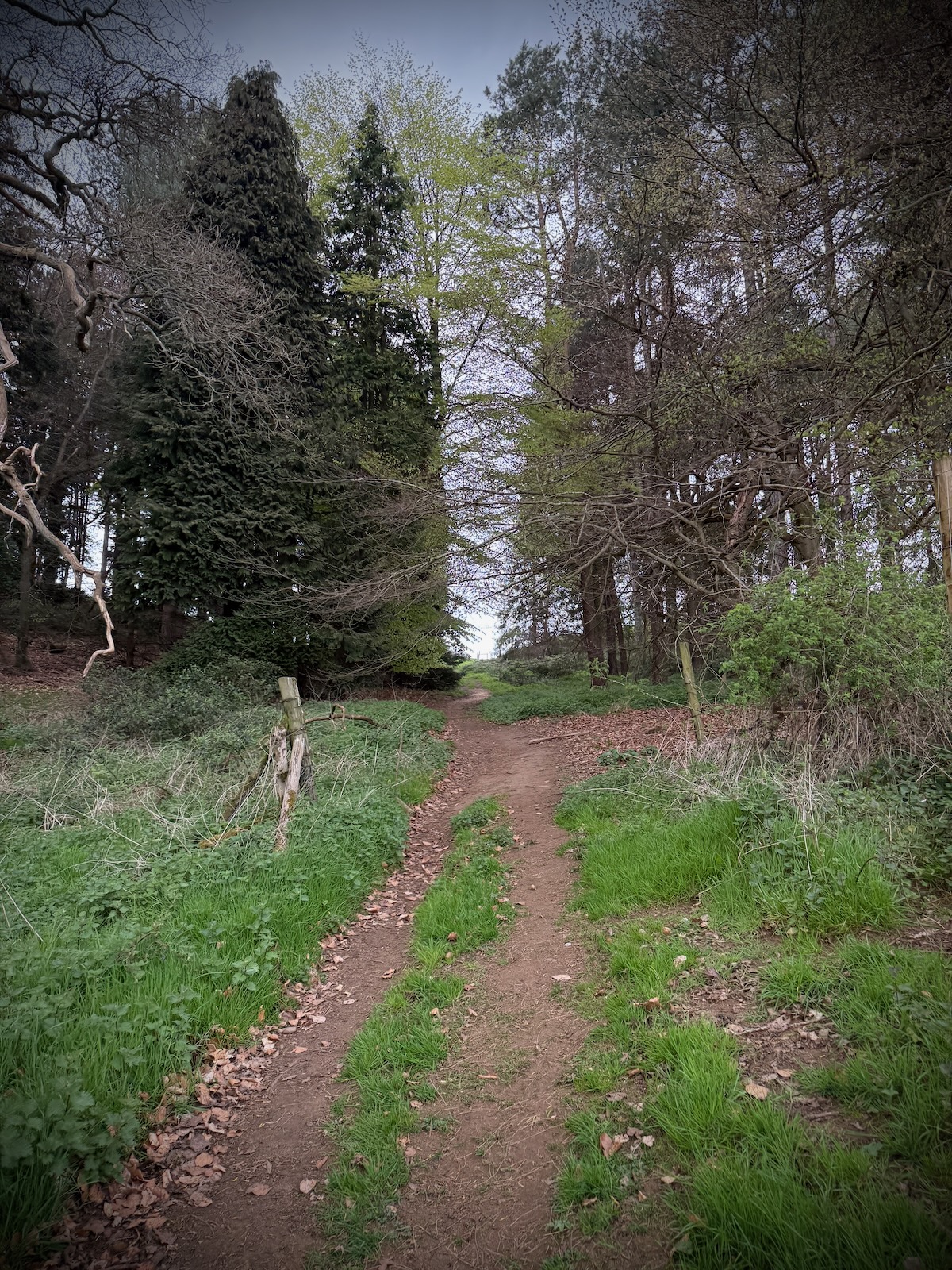
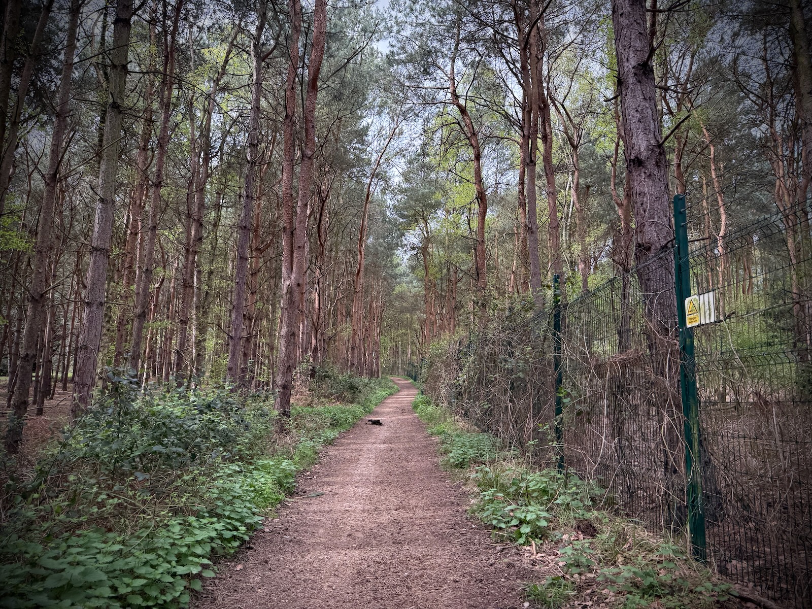
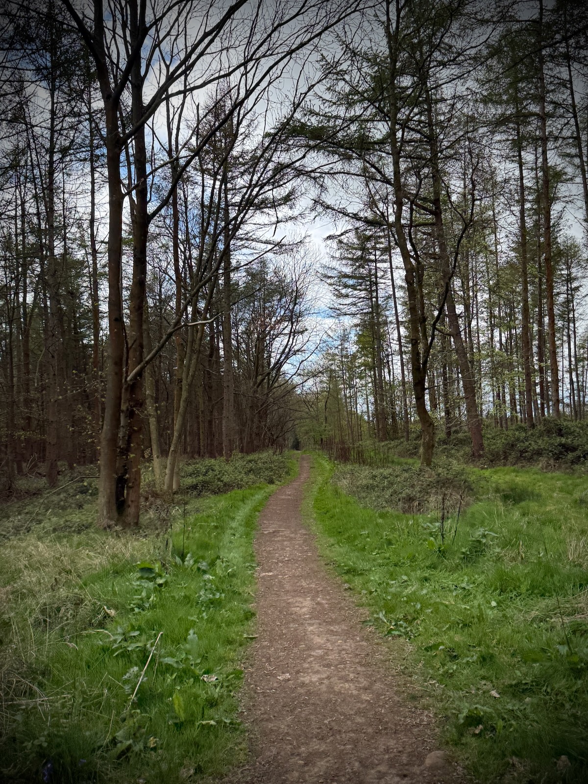
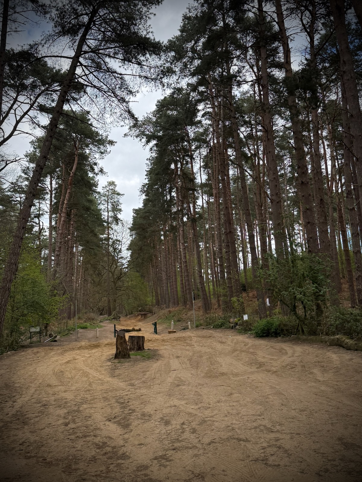
I was now riding through the trees of Aspley Woods, where I eventually made my way onto Longslade Lane, where the woods continued on either side.
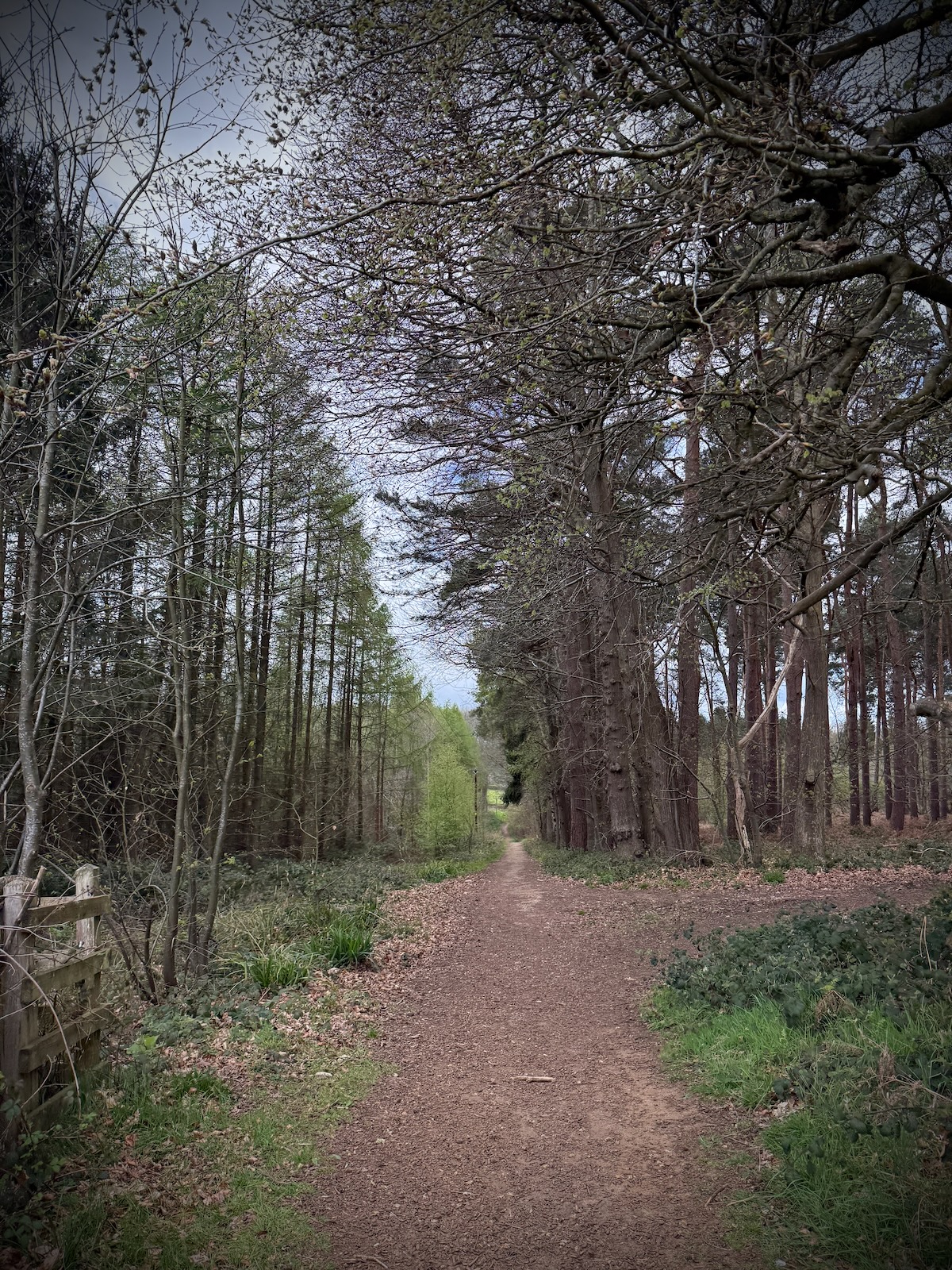
Longslade Lane turned into Church Road as I continued through the Aspley Woods. Leaving the woods, I found myself at the top of the hill, with views looking out from Bow Brickhill all the way to Milton Keynes ahead.
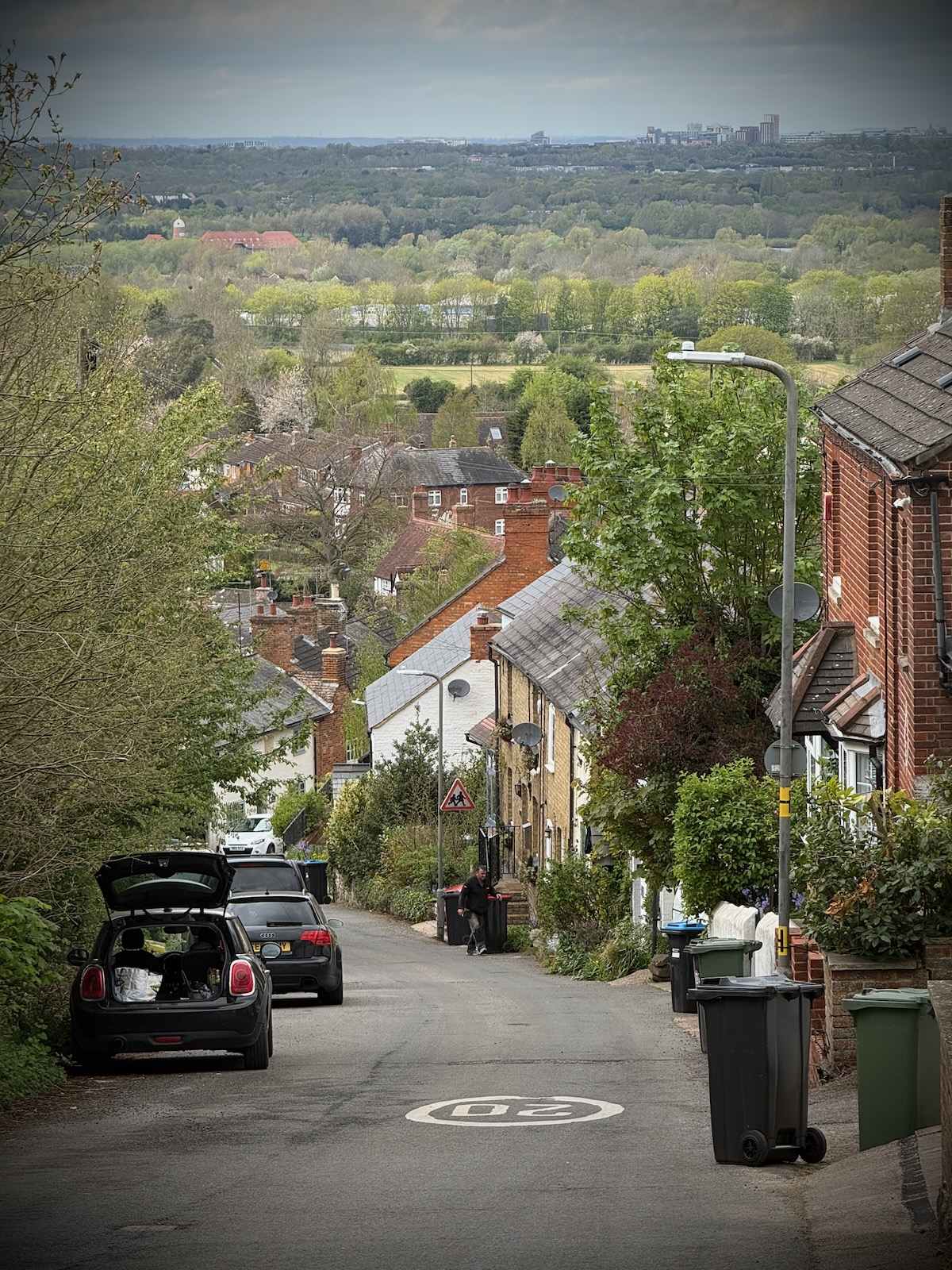
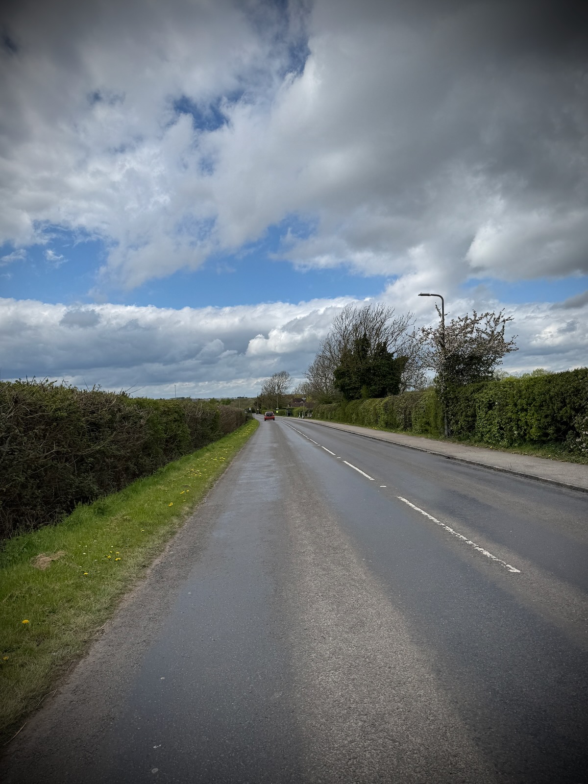
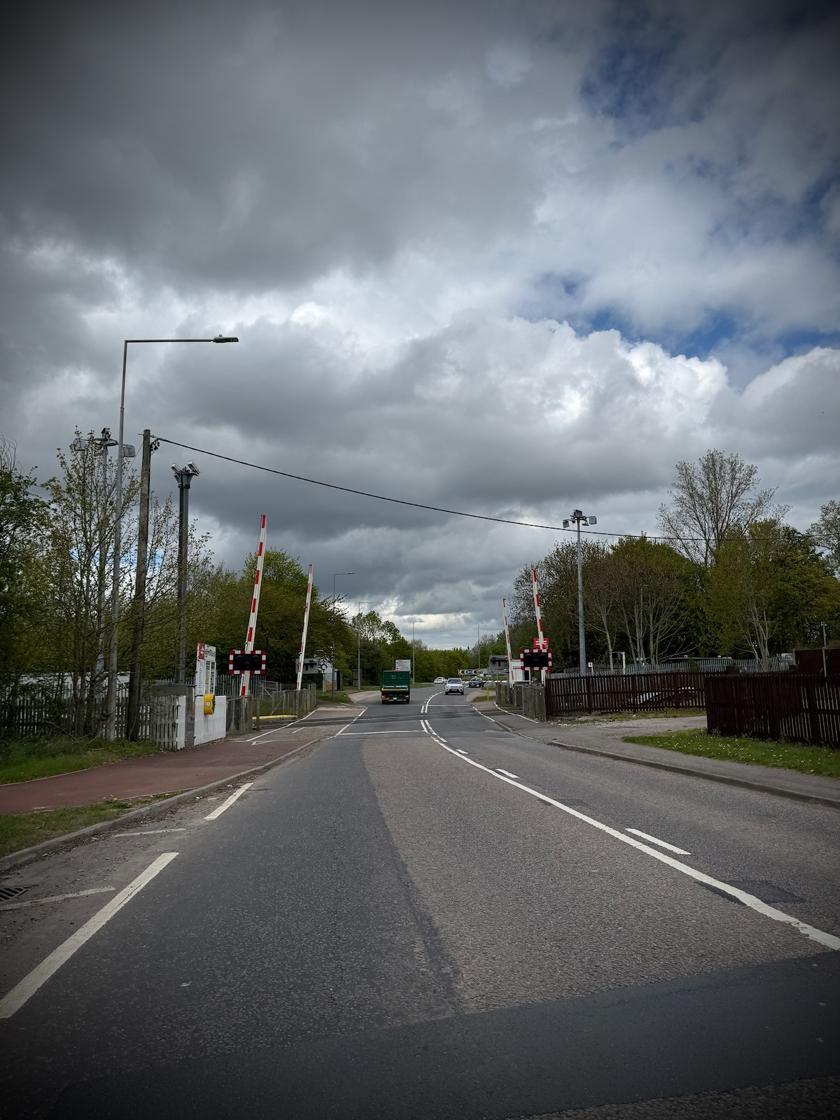
I made my way down the hill through Bow Brickhill, which was very enjoyable, as I continued onto Station Road. Turning right, I then passed Bow Brickhill station and over a level crossing, I now arrived on the outskirts of Milton Keynes, on V10 Brickhill Street.
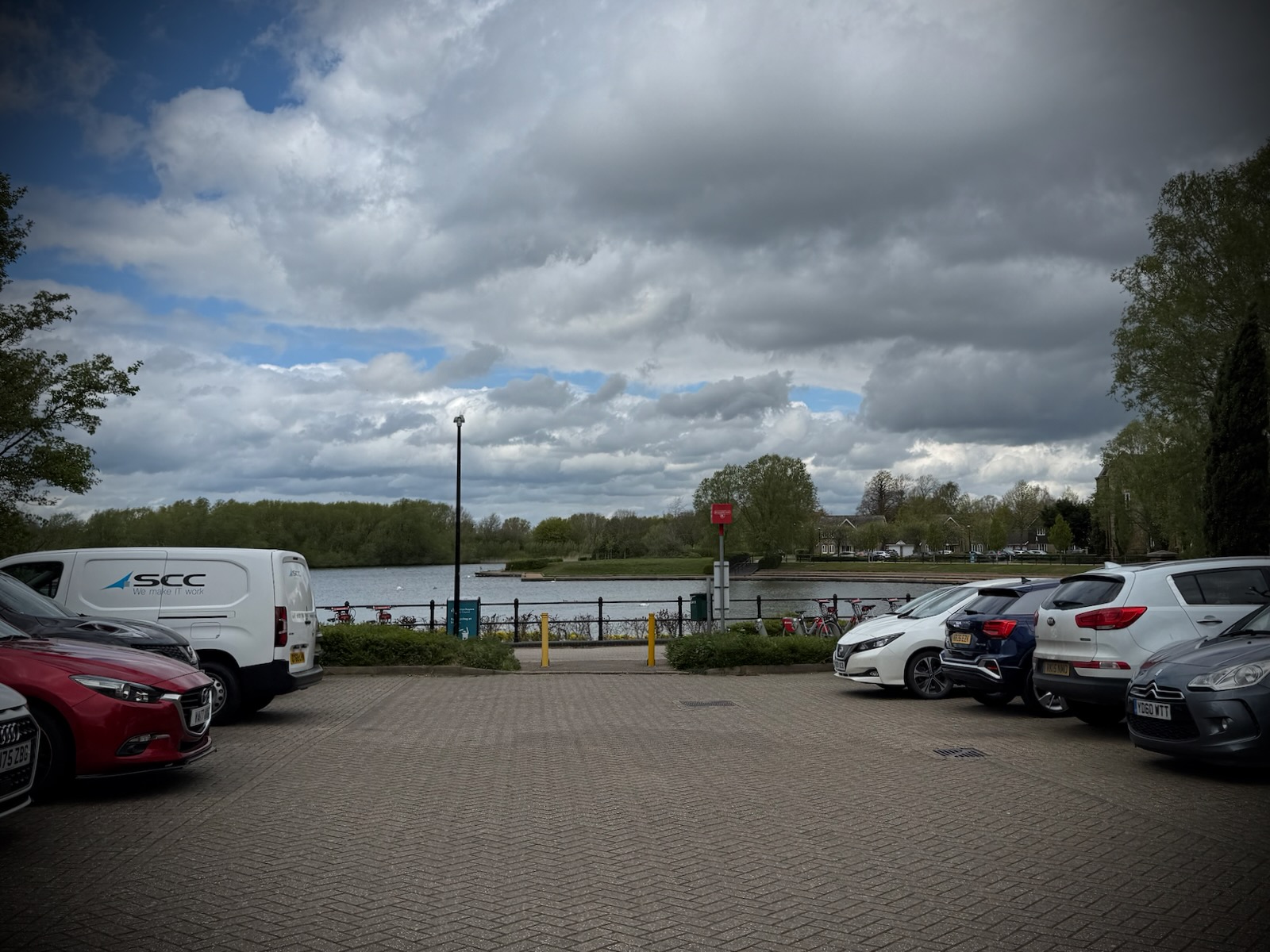
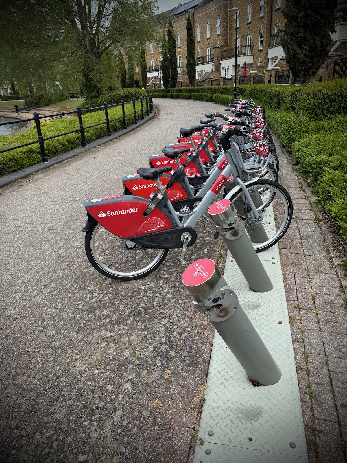
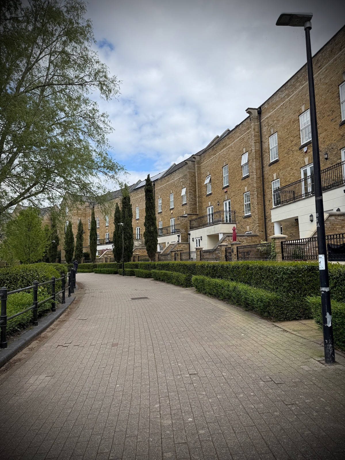
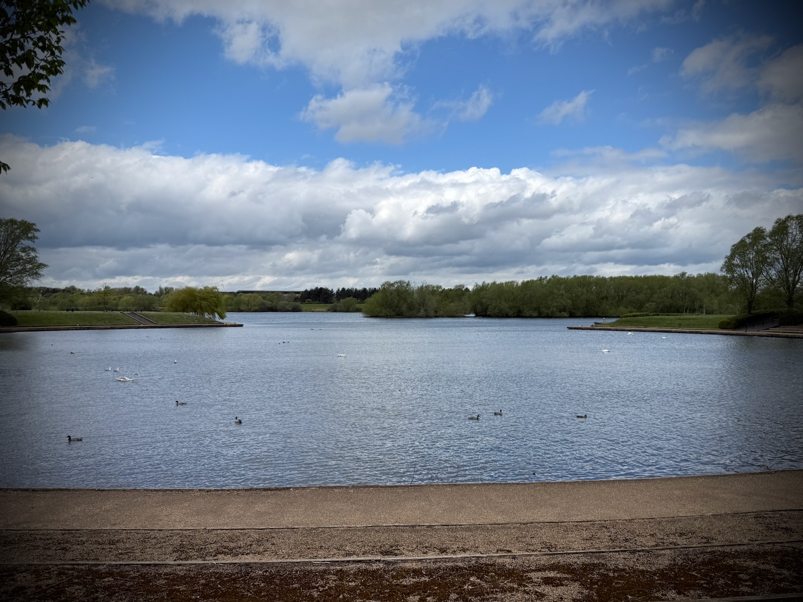
Turning off V10 Brickhill Street, I passed through some residential streets to arrive at Caldecotte Lake. Passing some Santander branded hire bikes, I made my way round the lake, on the path in front of a modern crescent, with a loose approximation of a Georgian style.
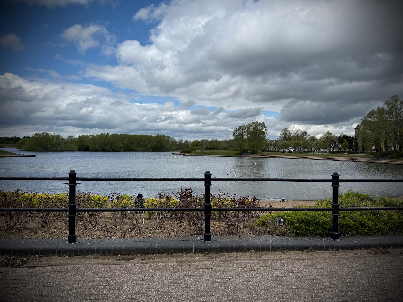
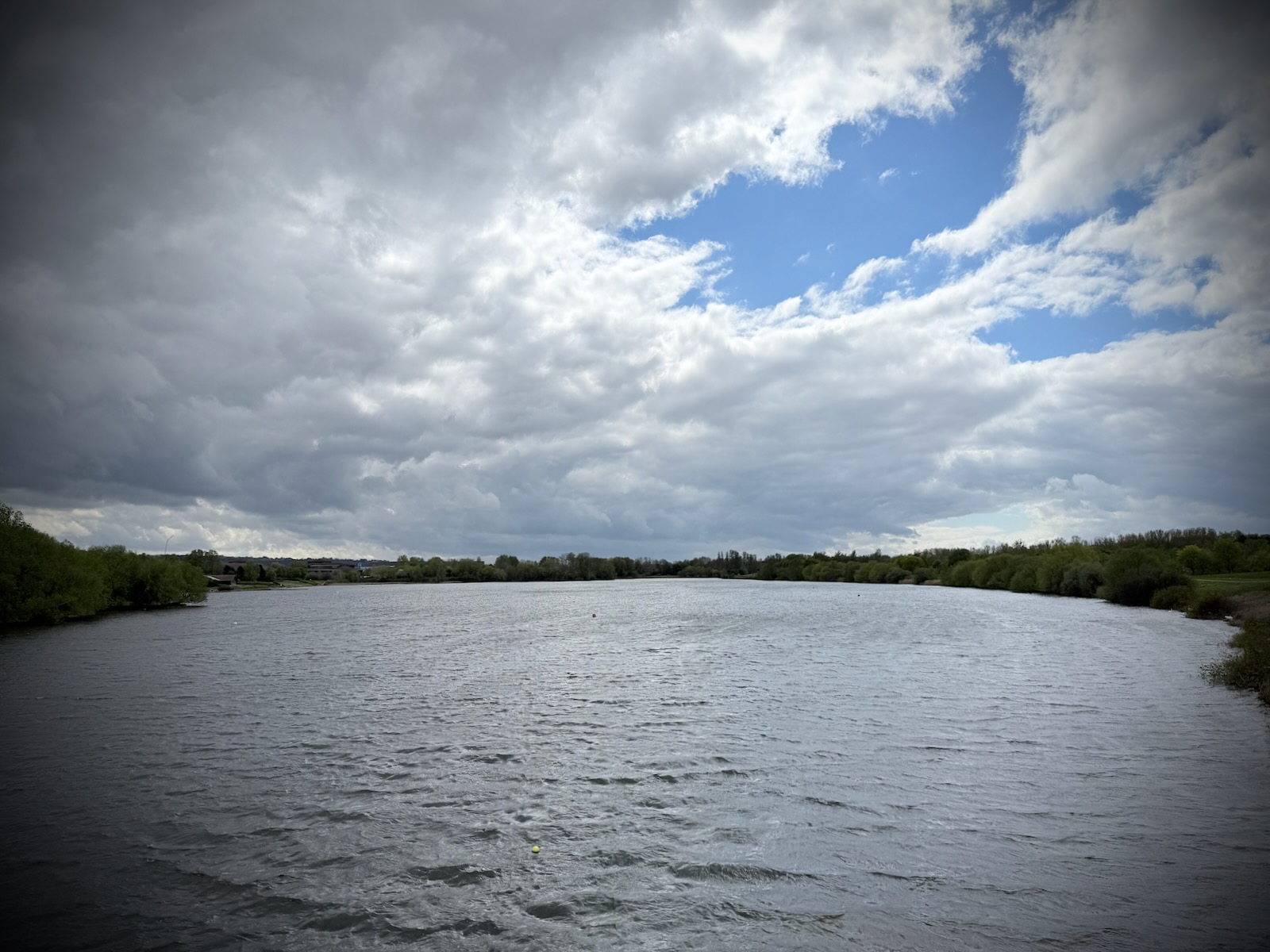
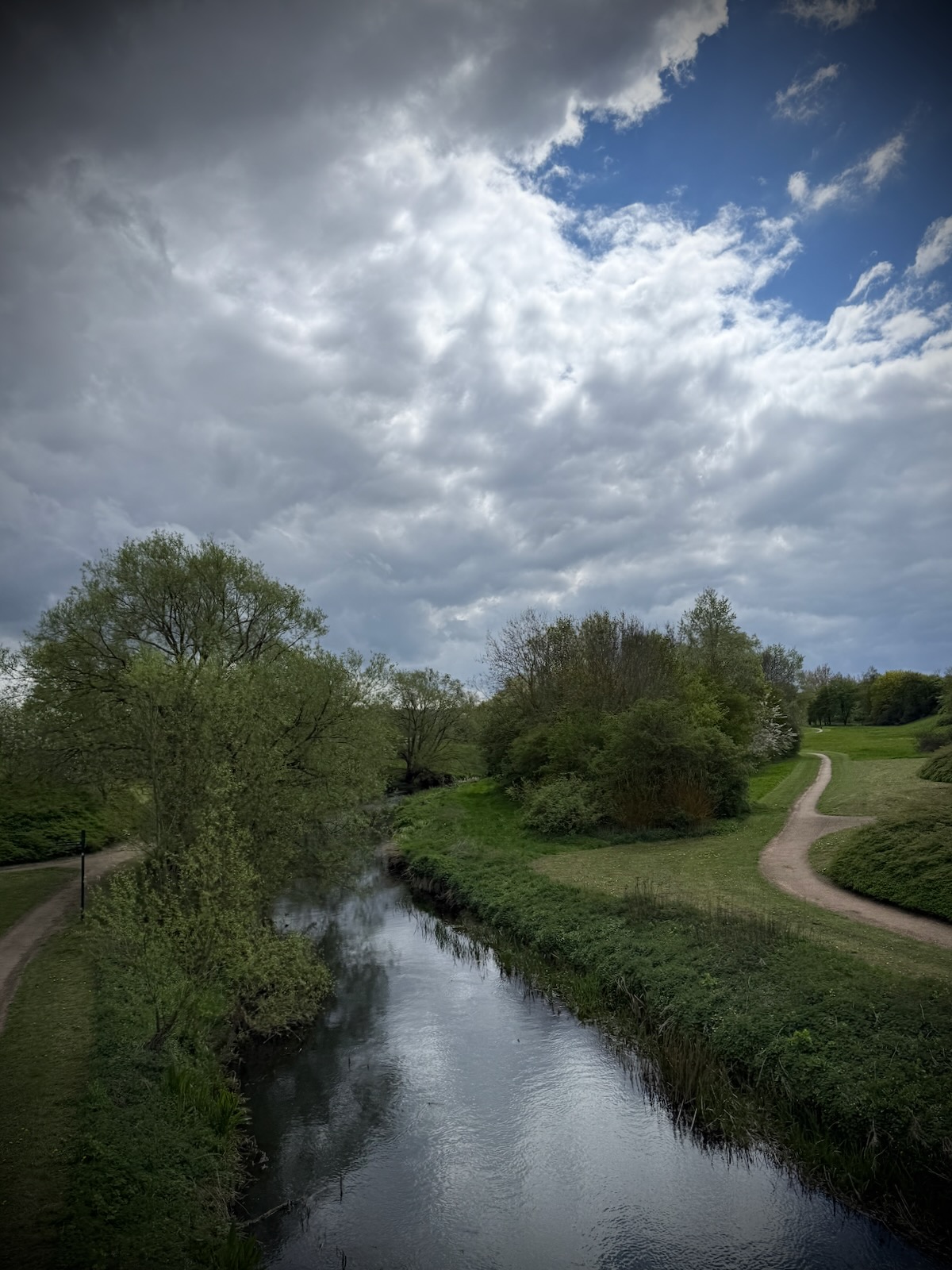
The path round the lake eventually led up to the H10 Bletcham Way, where it ran next to the traffic lanes. Riding along, I passed round the far side of the lake, then over the River Ouzel.
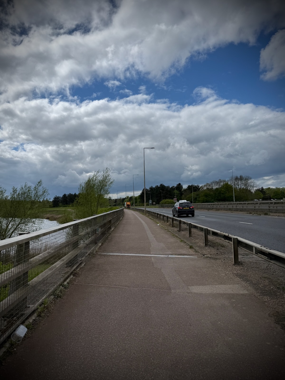
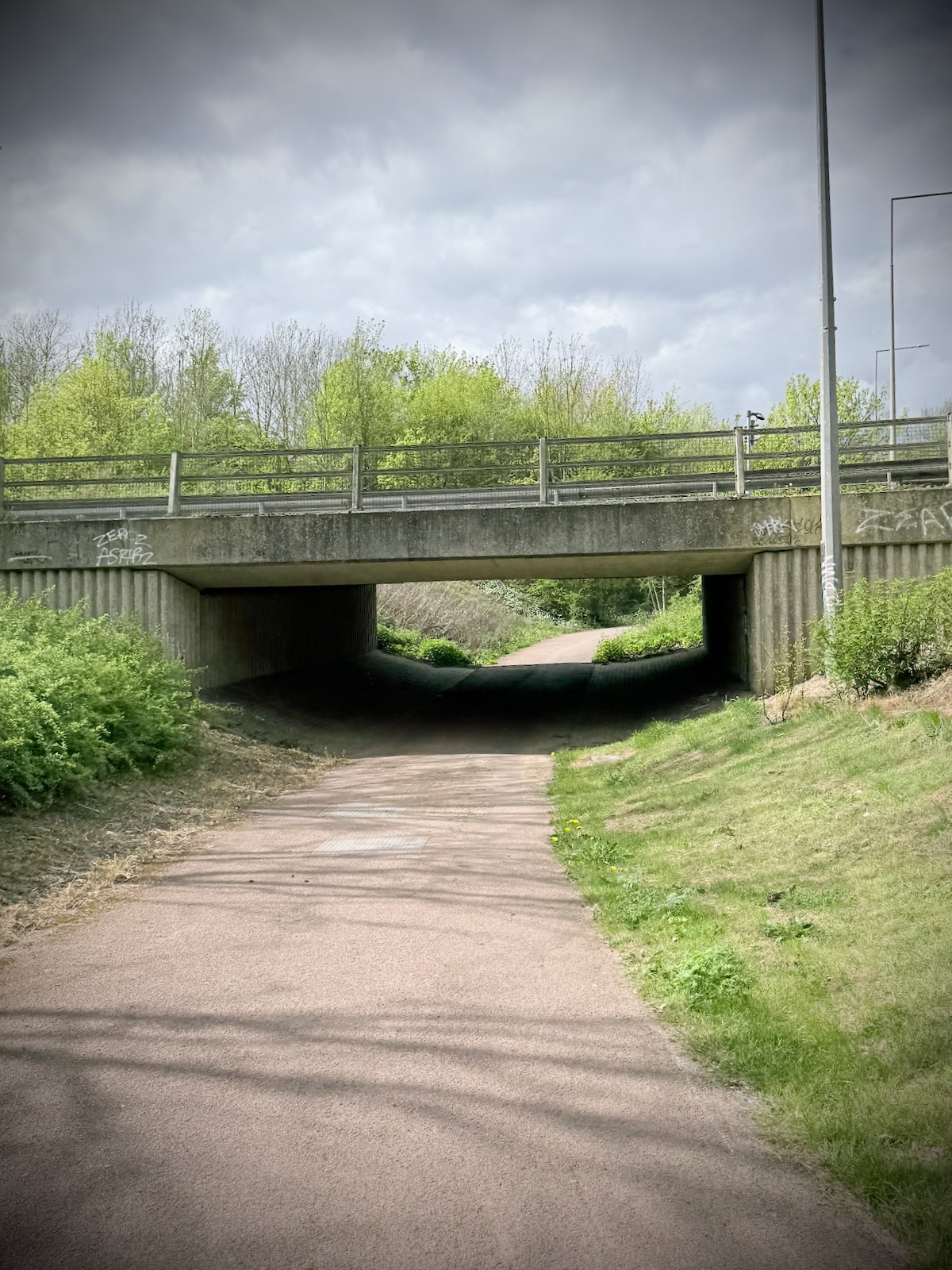
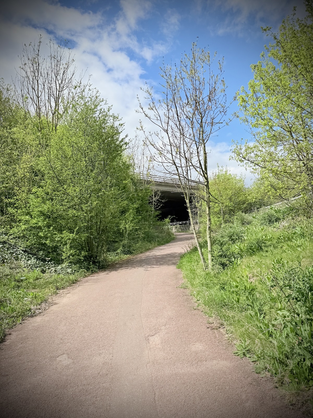
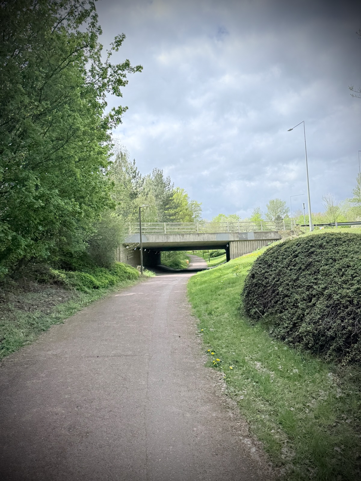
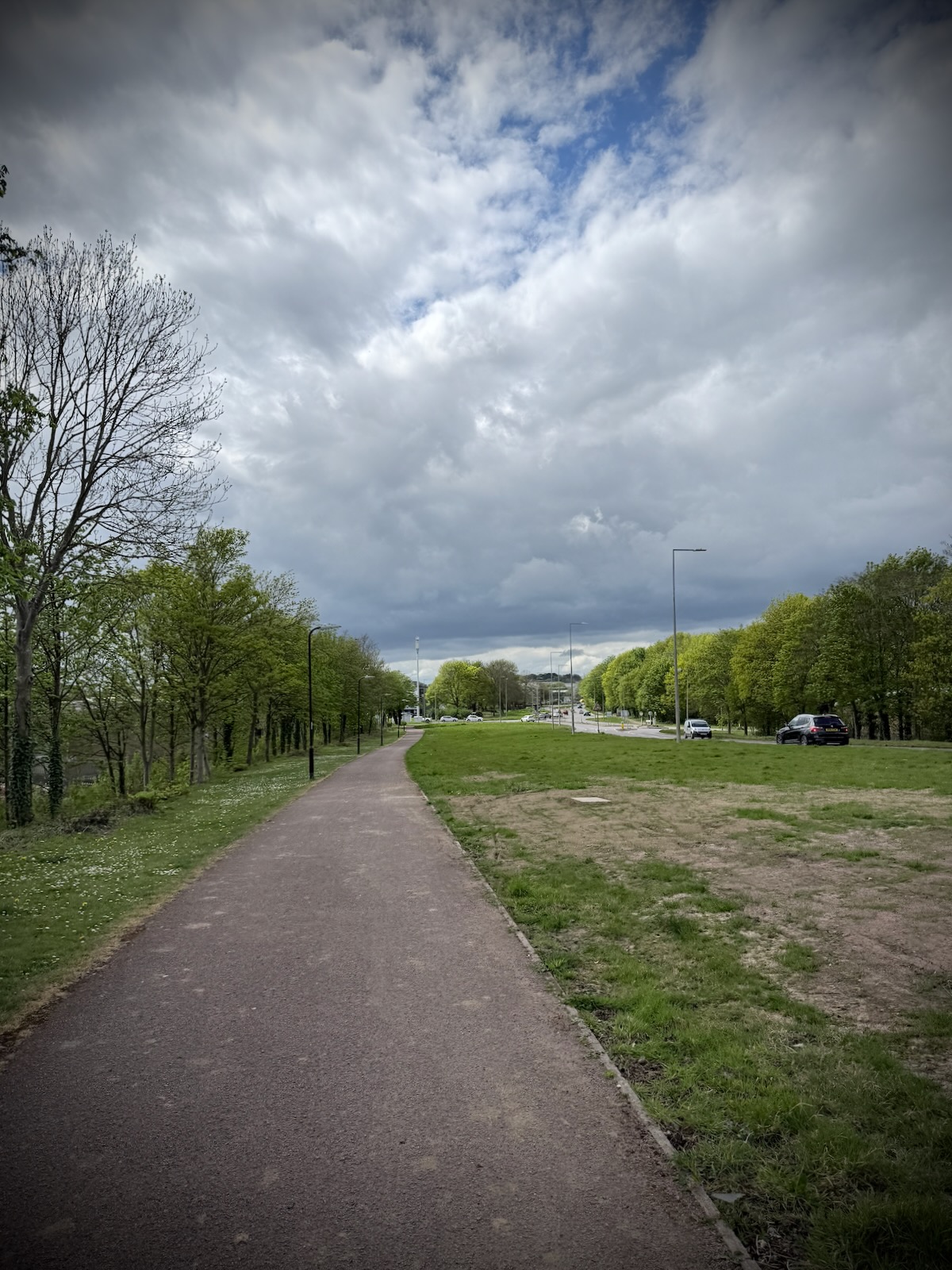
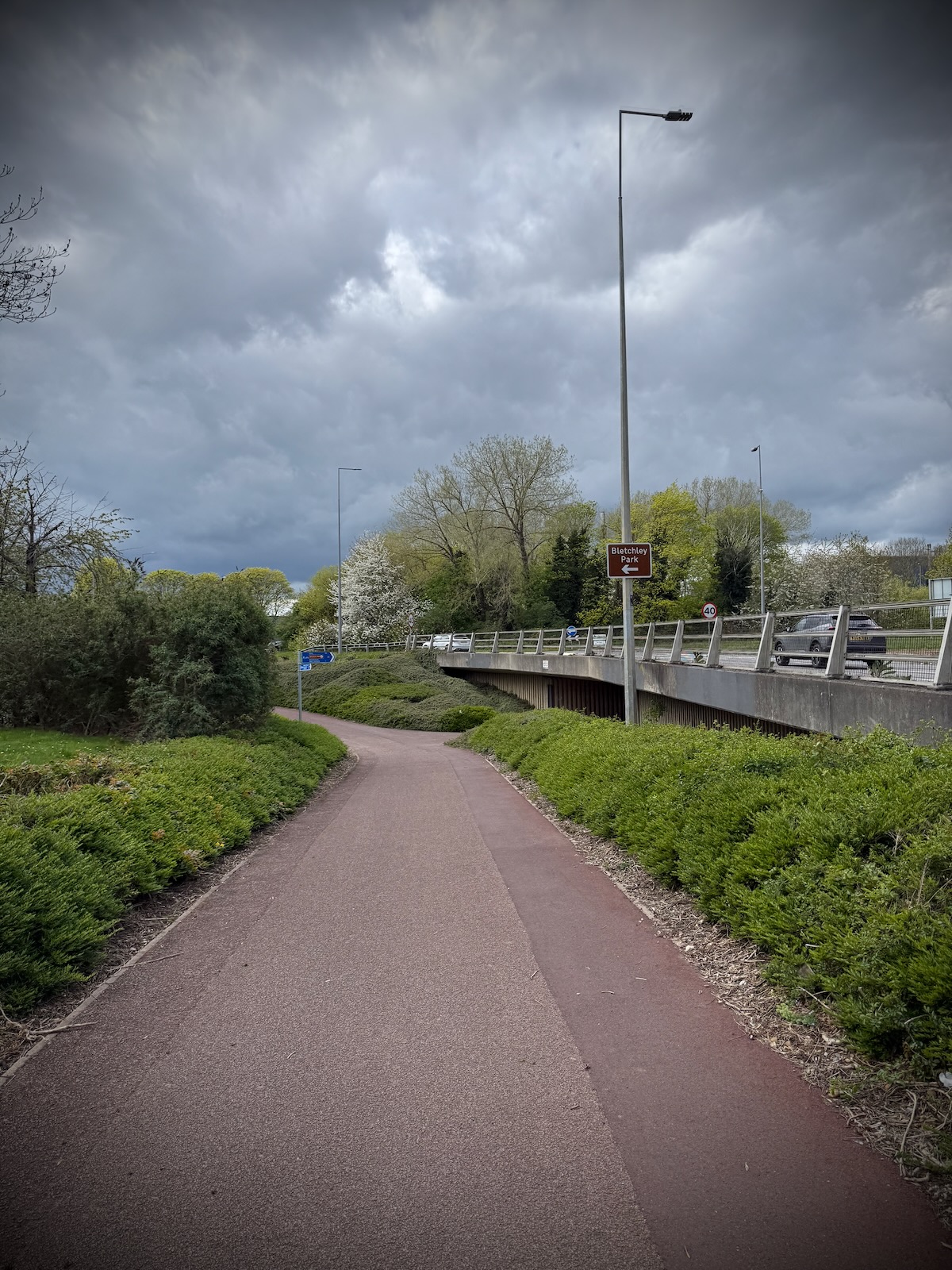
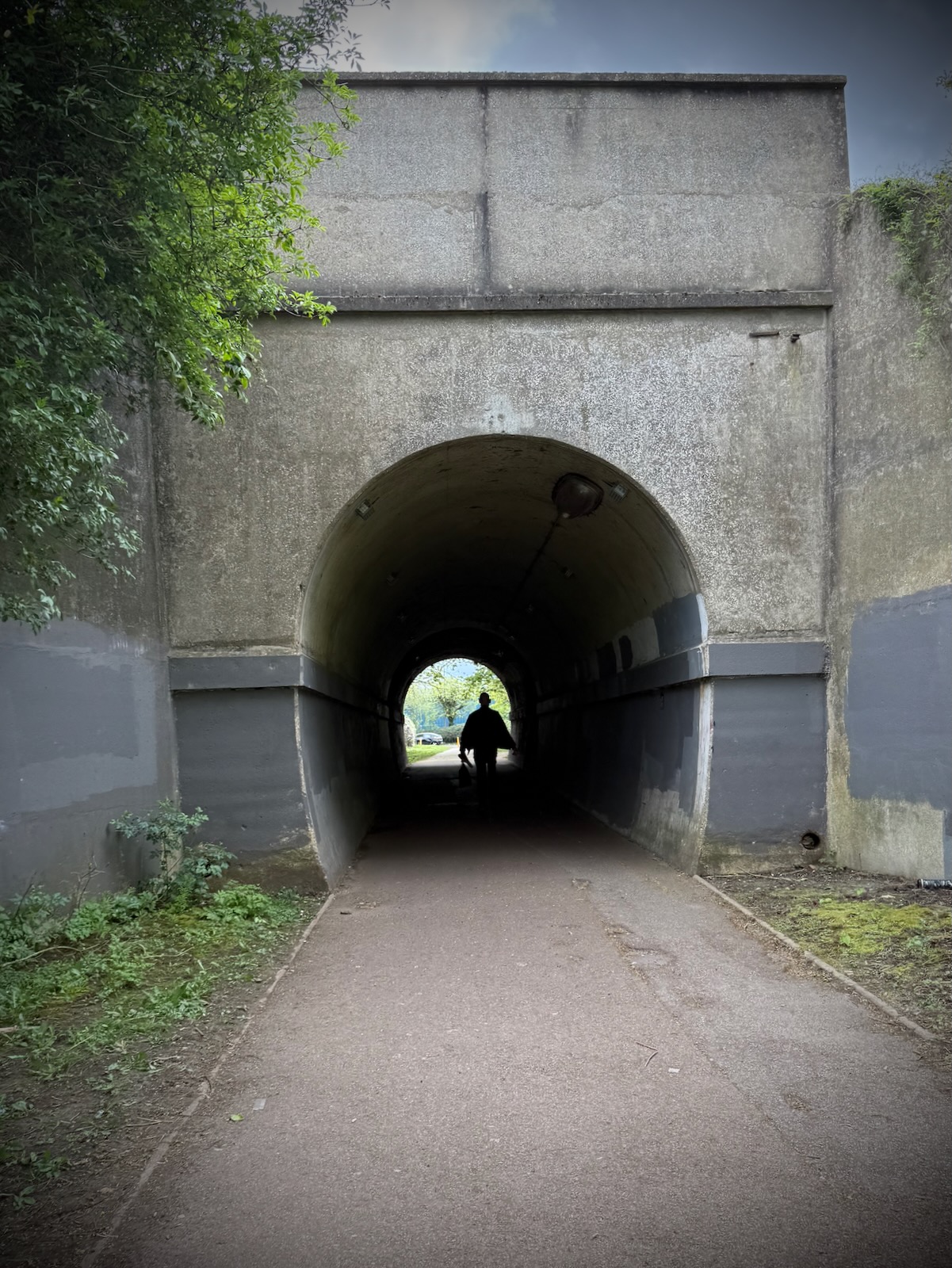
Continuing next to the H10 Bletcham Way, I now felt like I was back on one of Milton Keyne’s Redways. The Redway took me under the A5 on some very typical underpasses.

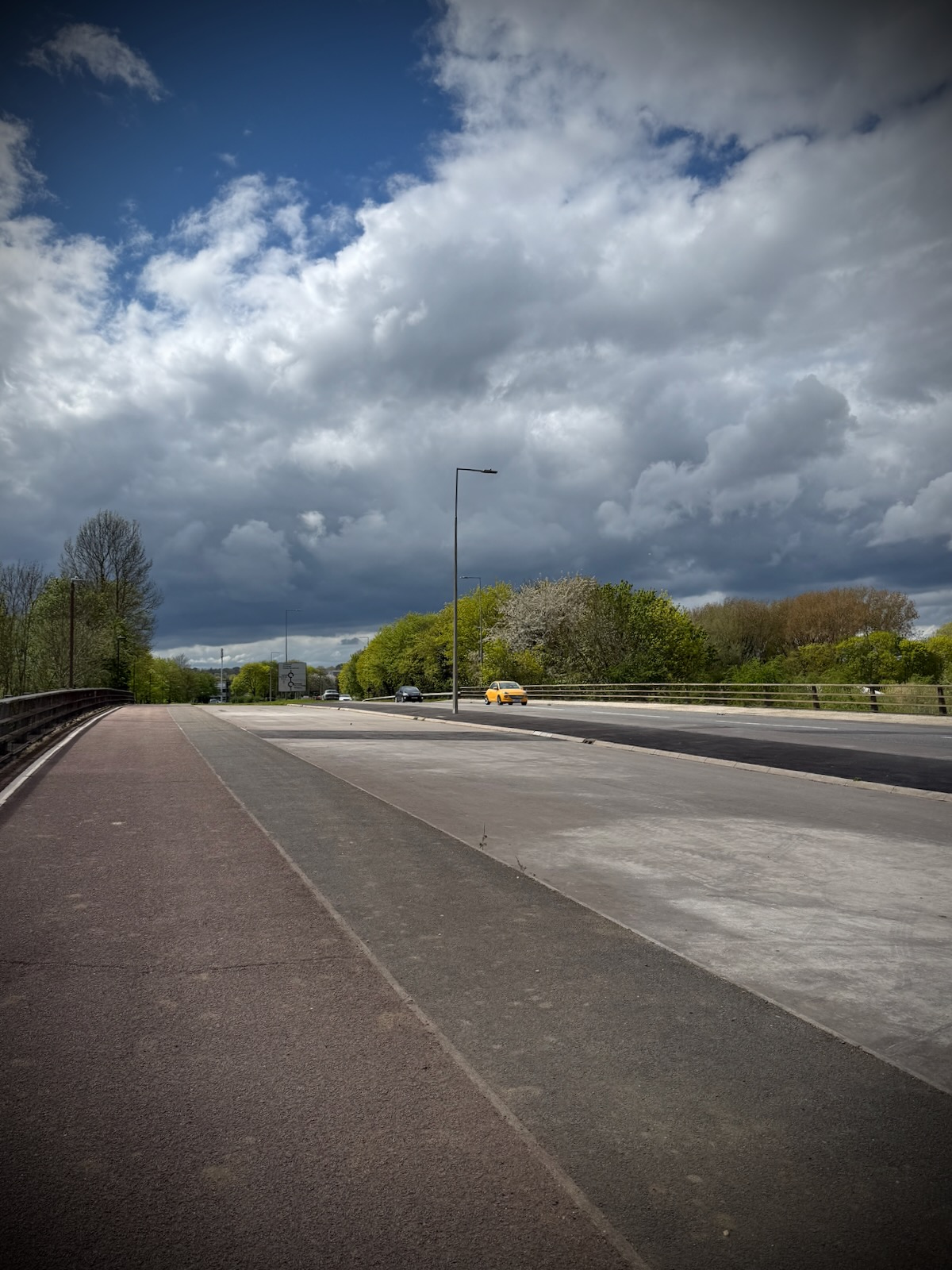
Crossing over the Grand Union Canal, there was a large space on the bridge between the path and the main carriageway, I’m guessing for a planned road that was nevery built. After crossing a couple of roundabouts, I arrived on the outskirts of Bletchley.
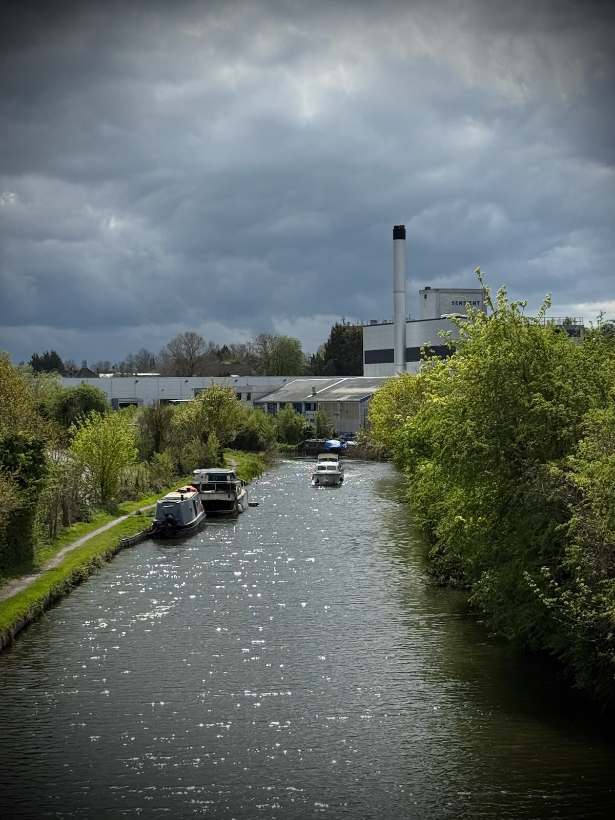
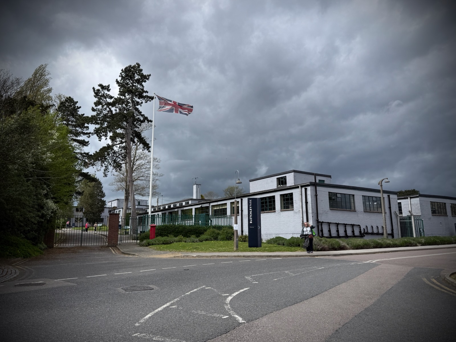
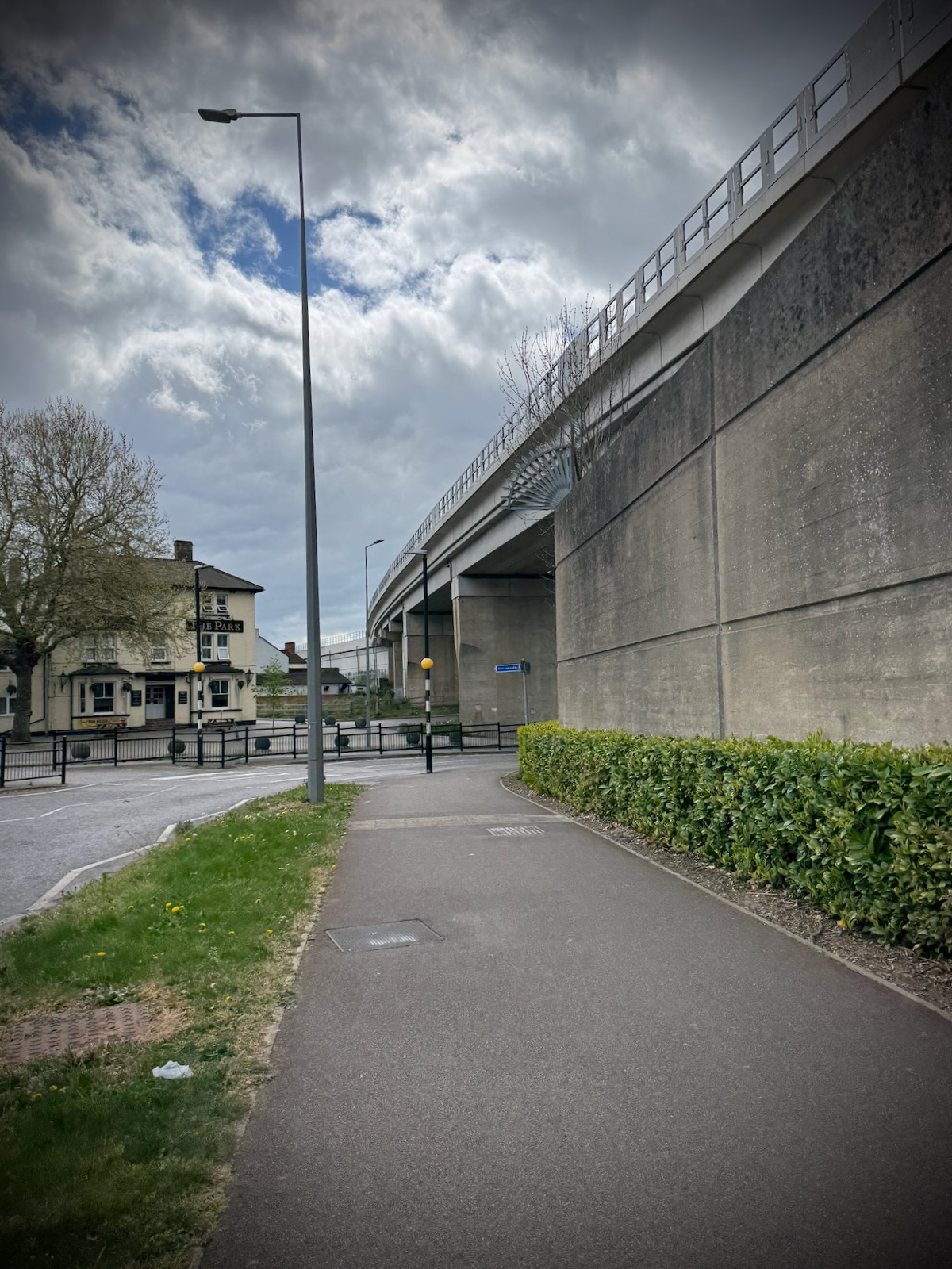
I continued on the Redways as I made my way through Bletchley, riding parallel to the railway, then passing under a railway bridge. From there, it was a short ride along a few quiet streets, before arriving at Bletchley Park.
I wasn’t planning to go into Bletchley Park, though my other half and our youngest were already there, having driven over. I met up with them to collect our packed lunch, before heading back into Bletchley, to meet up with our eldest.