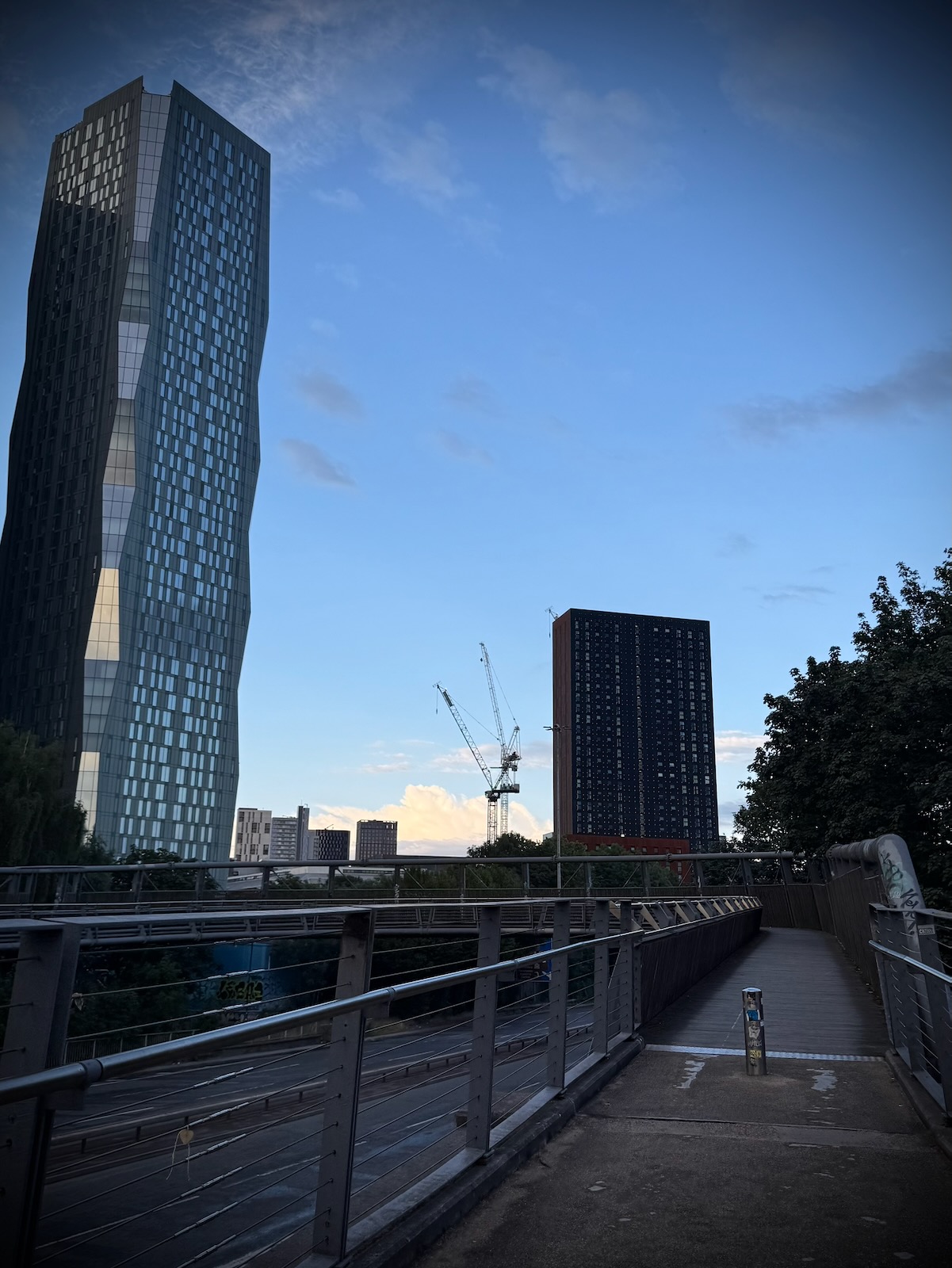
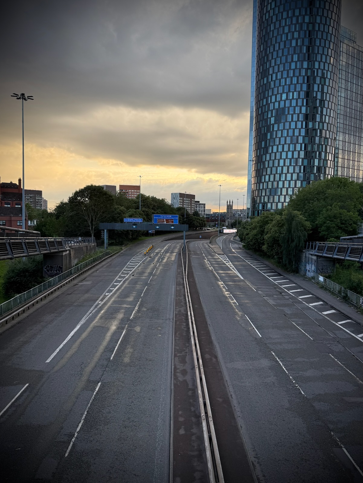
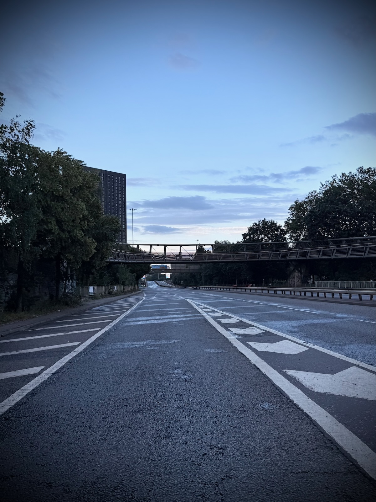
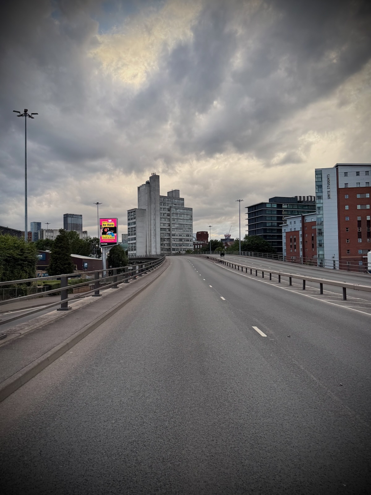
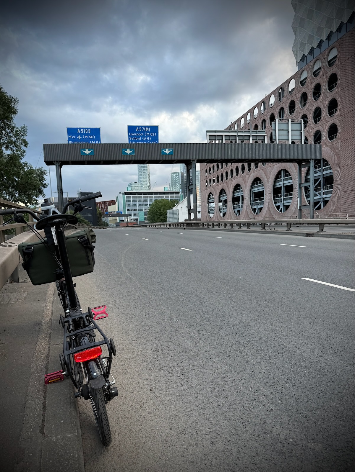
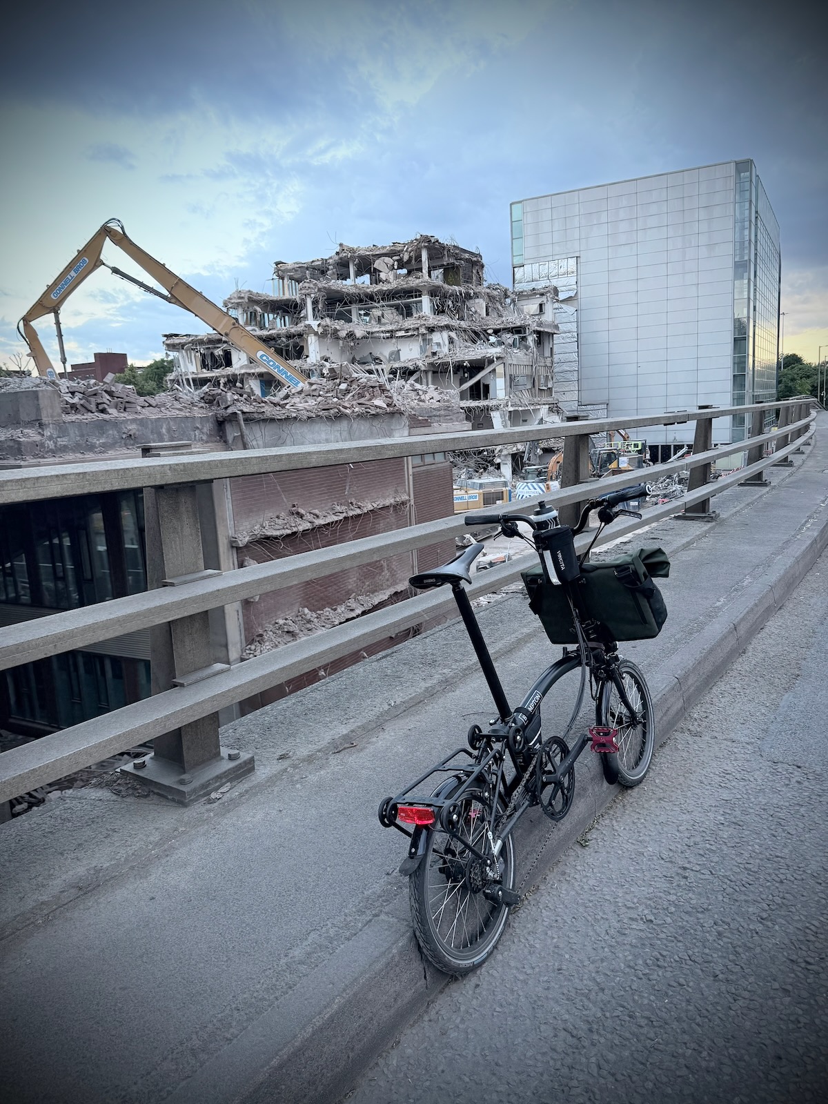
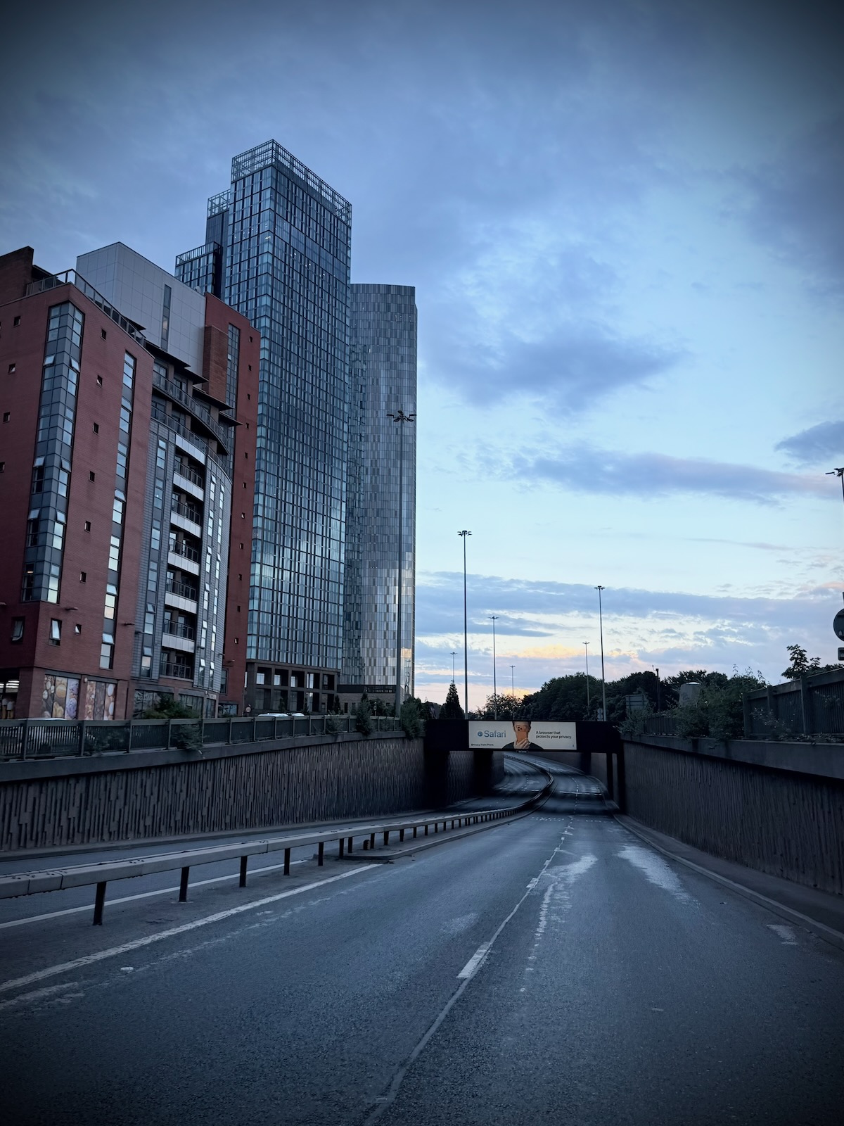
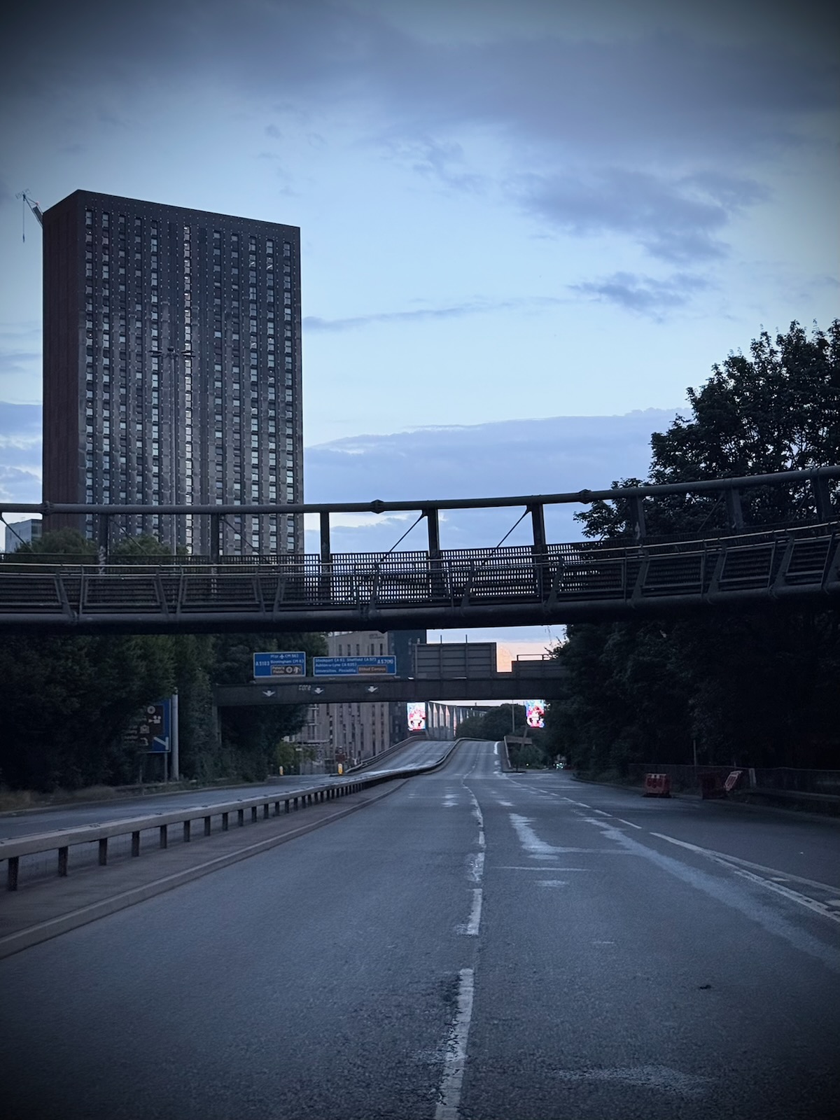
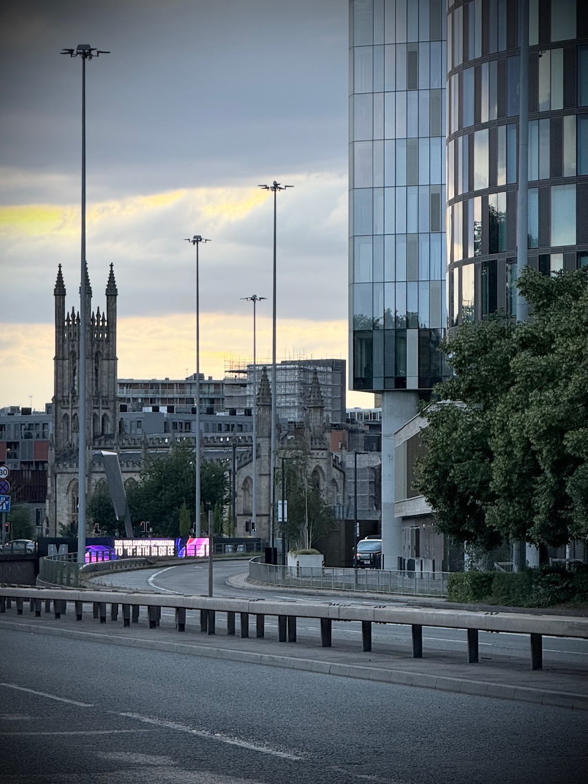
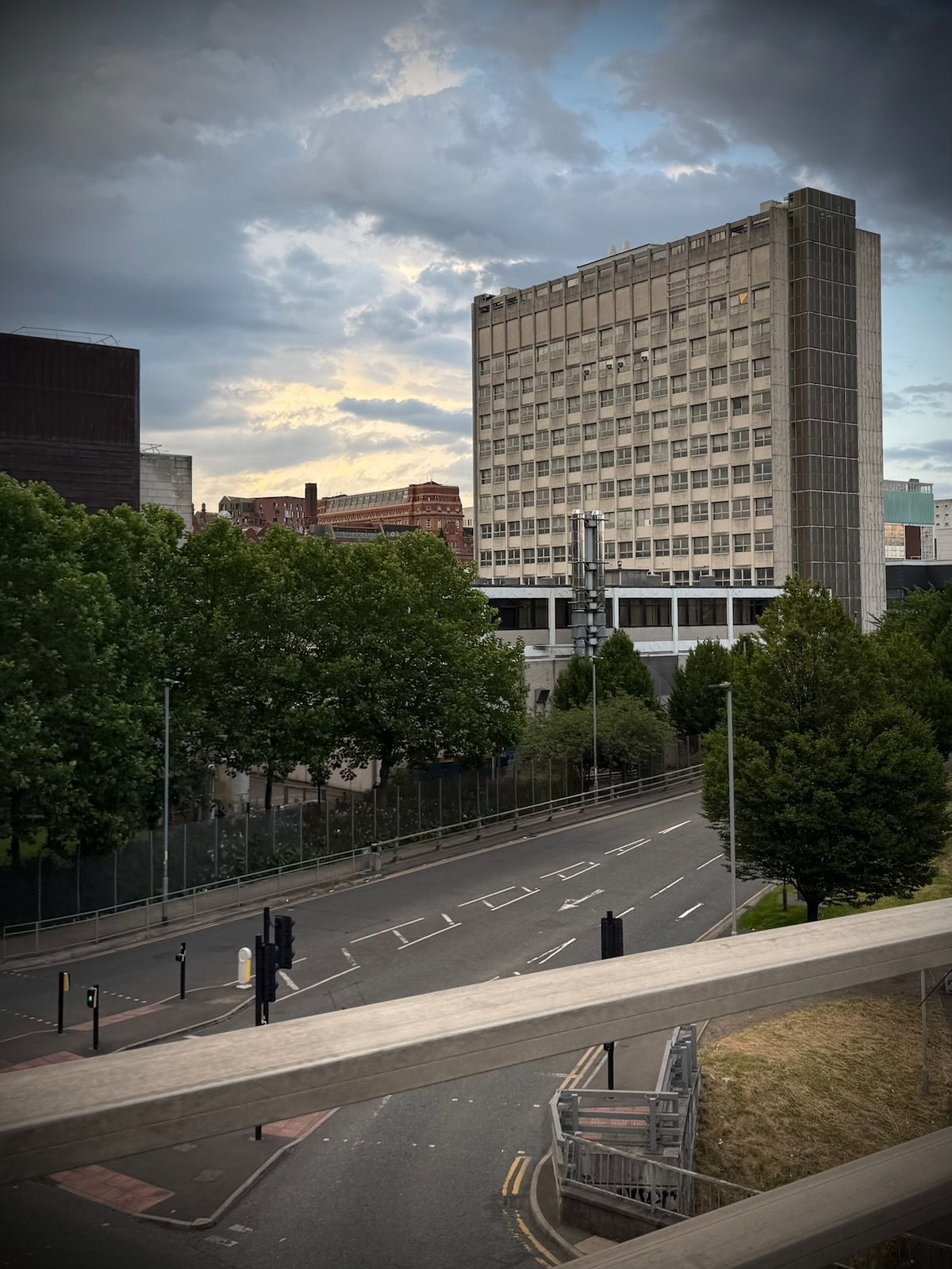
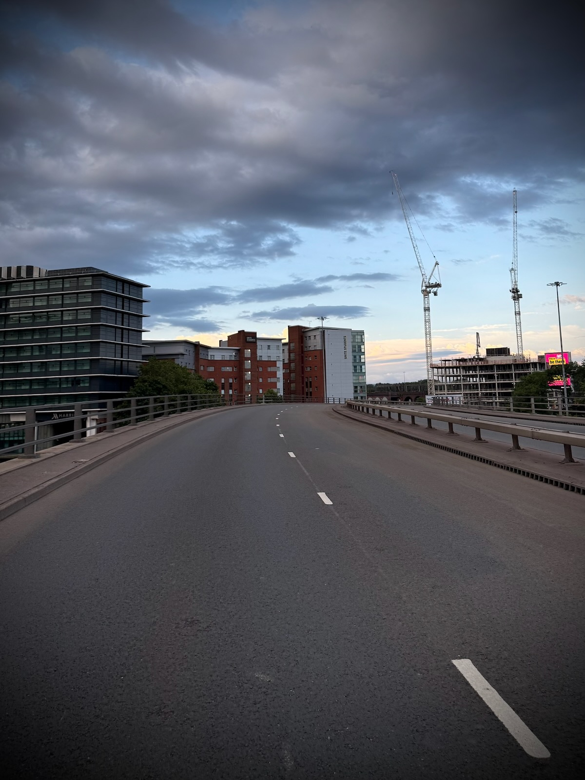
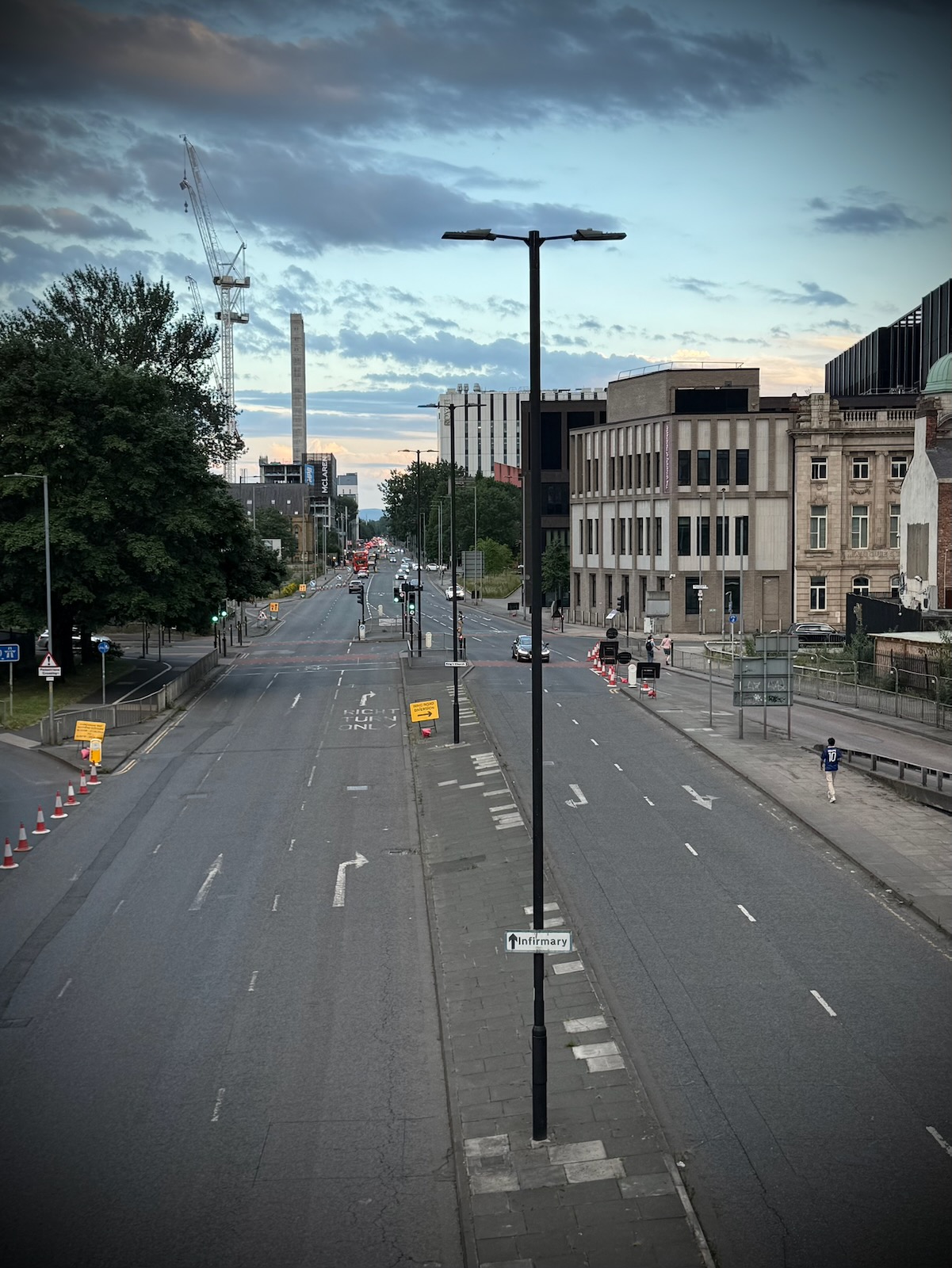
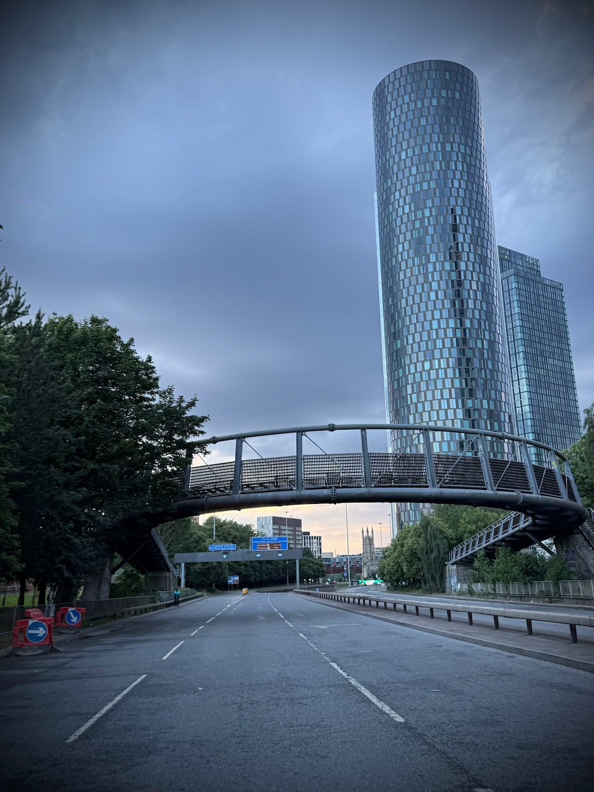
While riding over Hulme’s Horseshoe Bridge on a warm Saturday evening in June 2026, I was surprised to see a completely empty Mancunian Way.
That’s unusual, what’s happened? Stopping to do some research, I soon found out it had just closed for the weekend for its annual maintenance inspection.
Being something of a fortunate find, I thought I’d make the most of the closure and take a short ride along the Mancunian Way. Riding my bike, it’d give me chance to get a new perspective of this iconic structure of the city and see things I wouldn’t normally see in a car.
The past
Originally opened by Prime Minister Harold Wilson in 1967, the UK’s first elevated highway outside London cost £5m to build. That’s about about £120m today, which doesn’t sound a lot. It also saw many streets and houses destroyed to make way.
Forming part of the SELNEC Highway Plan, it was originally conceived as a connection between the M602 in the west, to the M67 in the east. It also connected the industrial eastern side of Manchester with Manchester Docks in the west.
If built as originally planned, it would have provided a seamless connection between the M602 and M67, enabling you drive across Manchester, without needing to negotiate any pesky junctions. But as anyone who’s been along the Mancunian Way will know, that isn’t what was built.
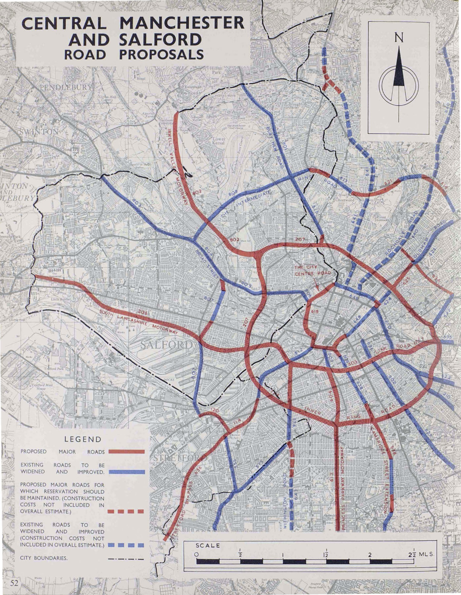
Like with many schemes across the country, large parts of the SELNEC plan thankfully never saw the light of day. With the economic decline and oil crisis of the 1970s, there just wasn’t the money to build all these massive roads. Huge areas of Manchester were reserved for many of these schemes and remained empty for years.
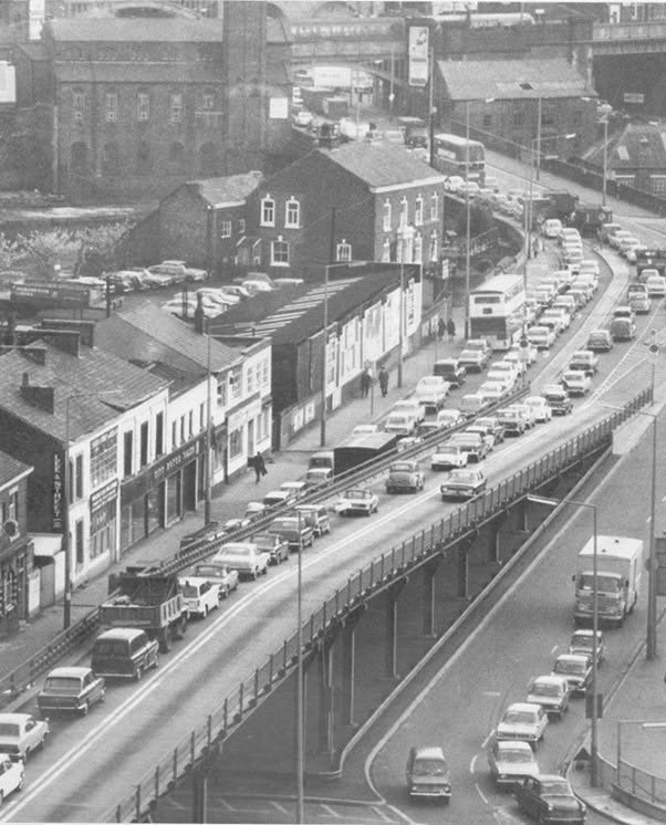
So what ended up being constructed was a short dual carriageway, terminating in junctions at the Deansgate Interchange in the west and London Road / Downing Street in the east. The Mancunian Way was later upgraded to motorway status in the 1970s, becoming A57(M).
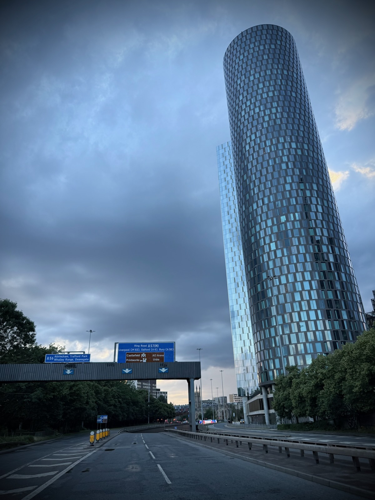
In the 1990s, work was then undertaken at either end to bypass problematic junctions. This resulted in a new underpass under the Deansgate Interchange and a flyover across the London Road / Downing Street junction. The underpass at Deansgate Interchange replaced what was a temporary flyover that used to carry the A56 over the roundabout.
Like with so many road building schemes, neither of these junction improvements made a material difference and have just moved the problem slightly further along. The walking and cycling improvements at the Princess Road and Medlock Street junction have been far more successful in my opinion.
Riding along the Mancunian Way
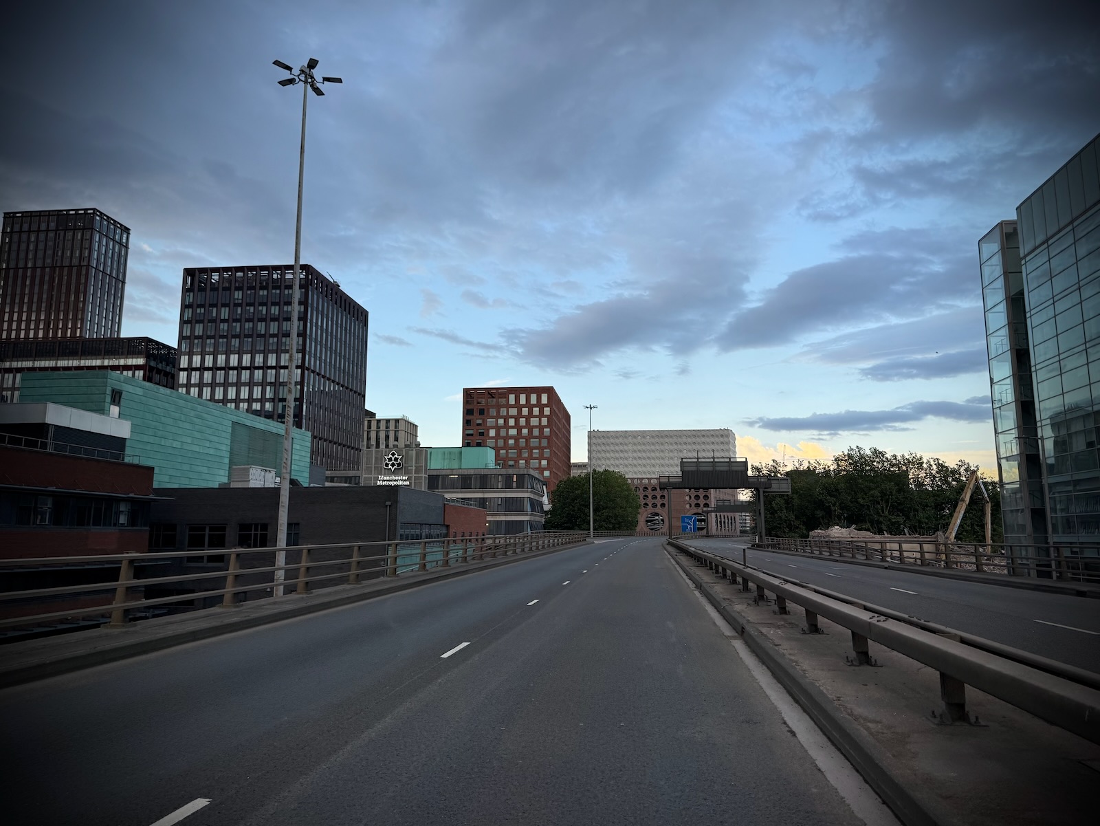
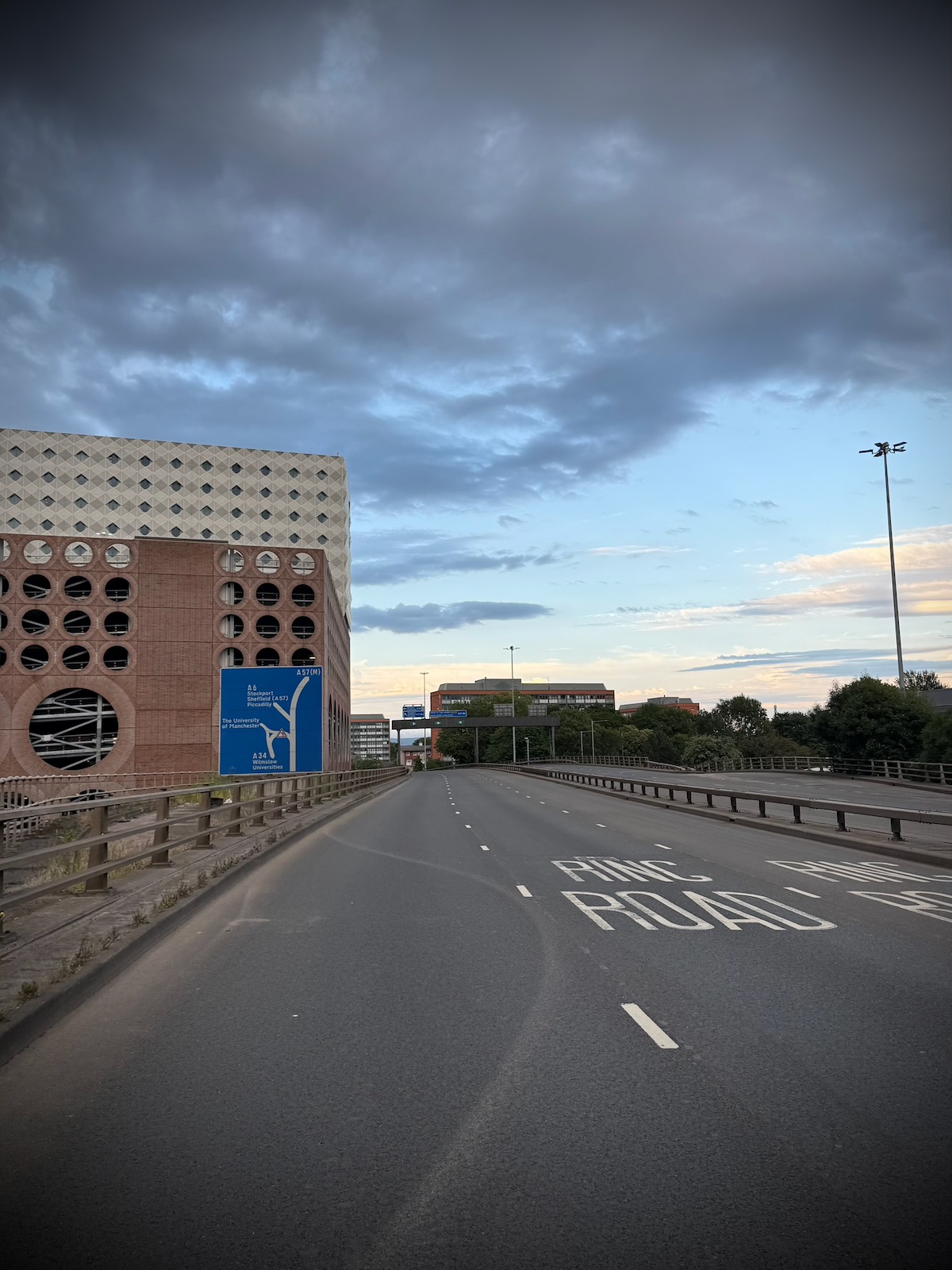
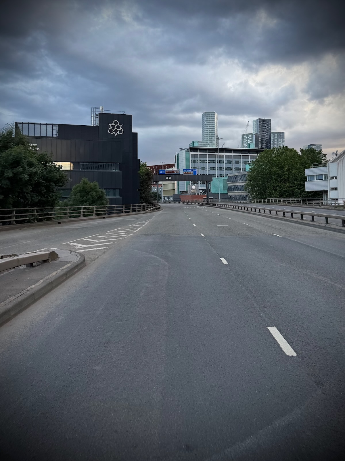
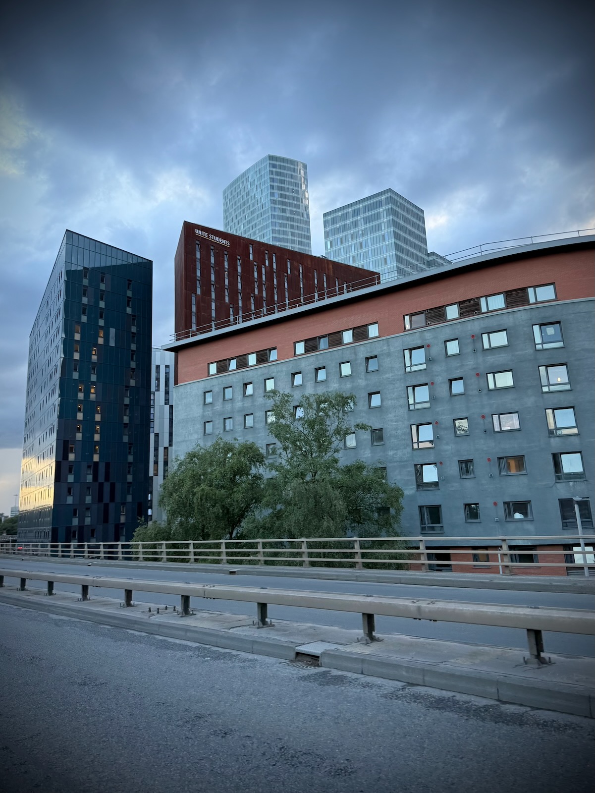
Setting off from the western end, I made my way under the Horseshoe Bridge that I’d just crossed. I then started riding up to the viaduct that spans the section between the Princess Road and Cambridge Street junctions. From the viaduct, I took in the views along Medlock Street towards the city centre.
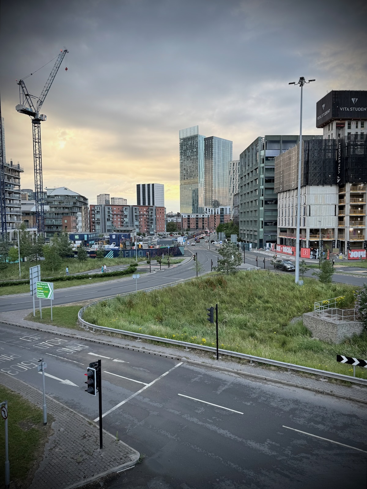
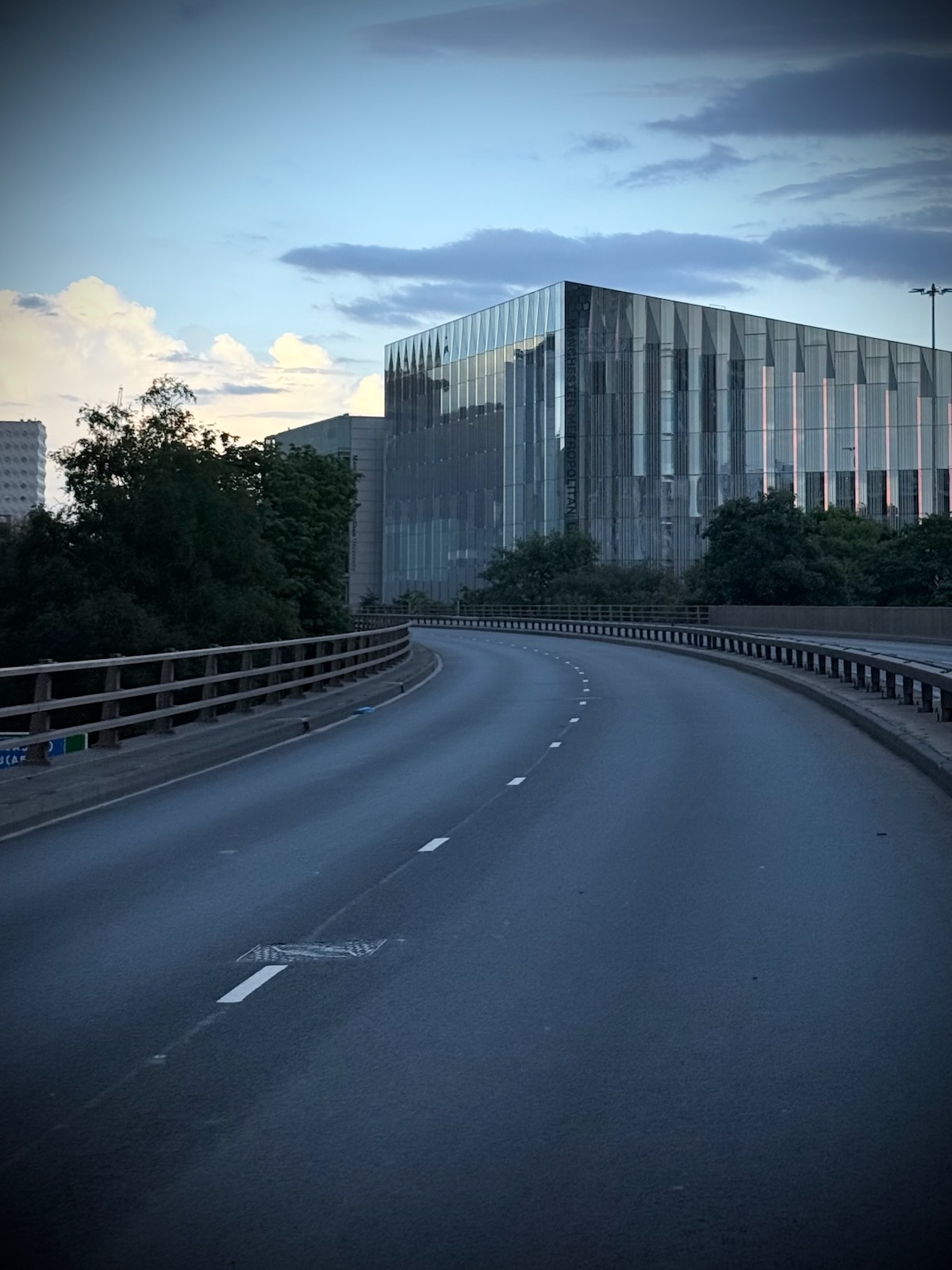
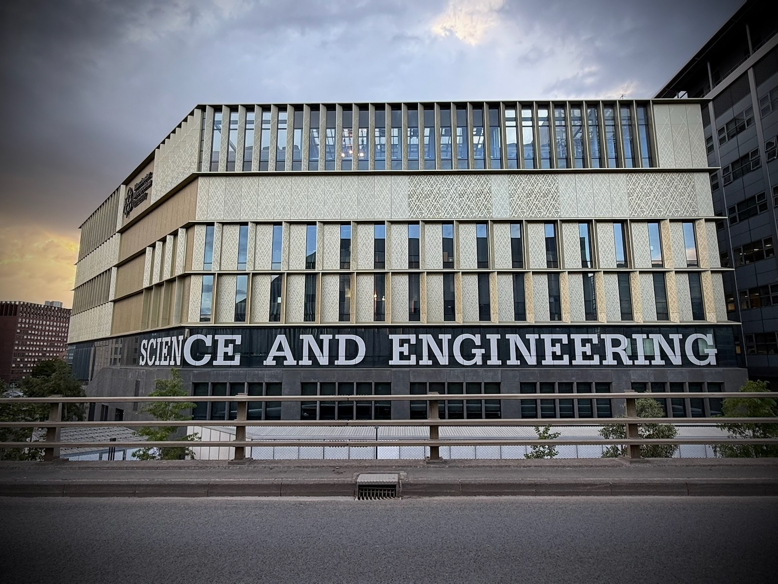
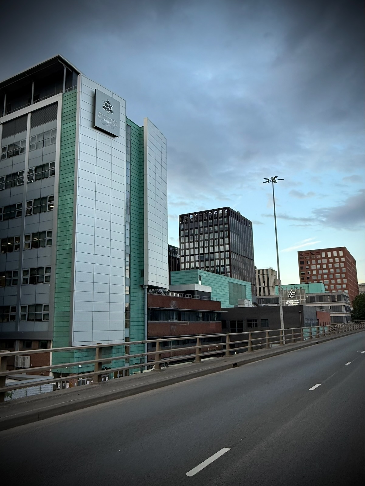
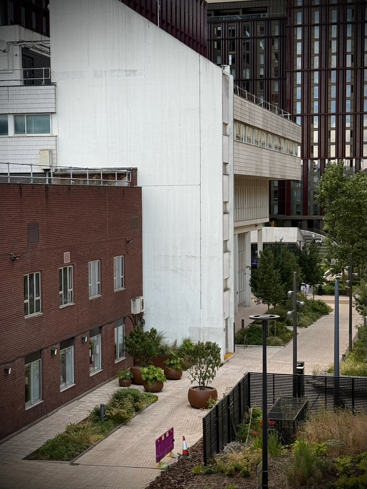
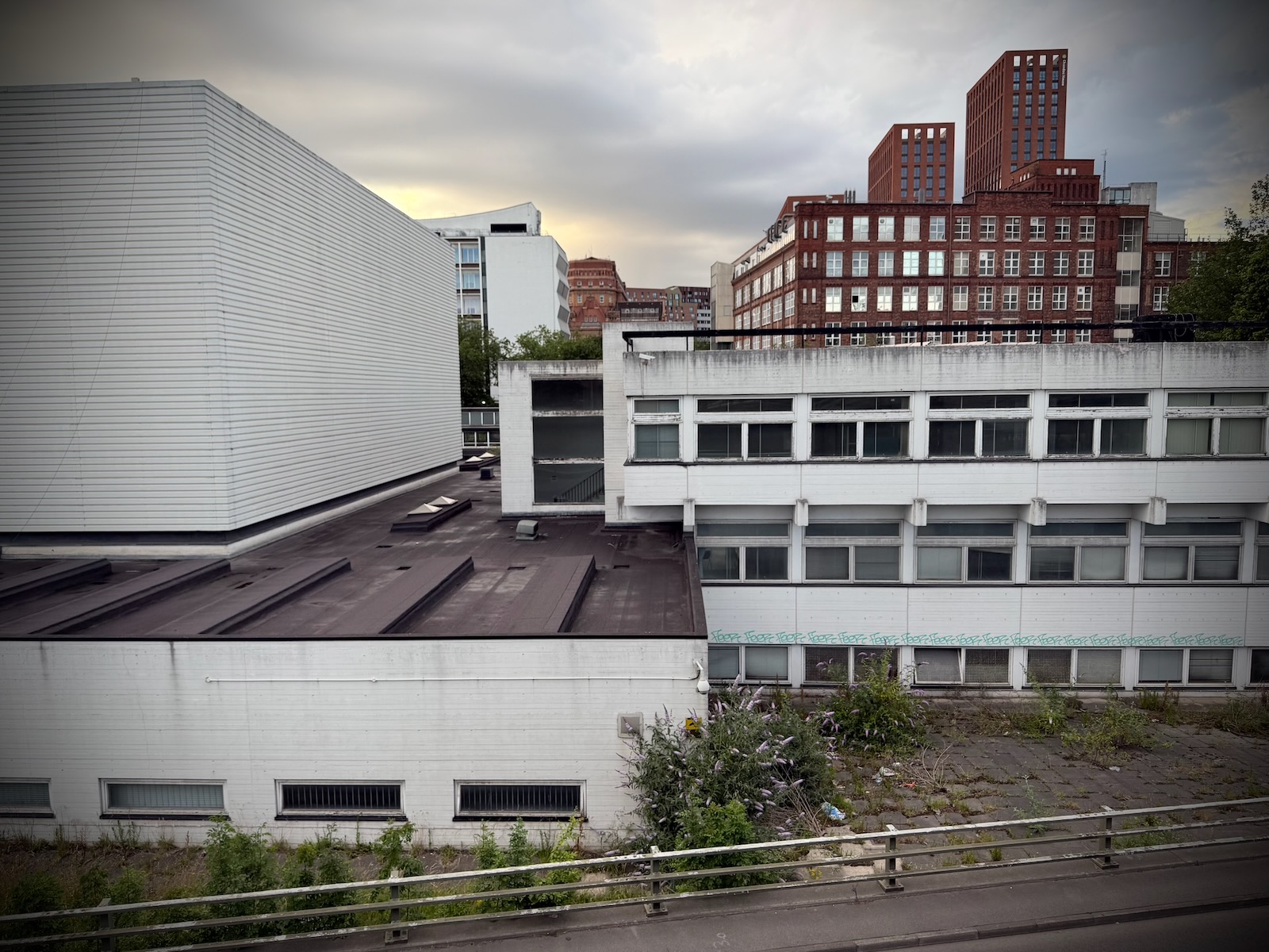
Making my way along, I was now riding between the various Manchester Metropolitan University (MMU) buildings that span either side of the Mancunian Way.
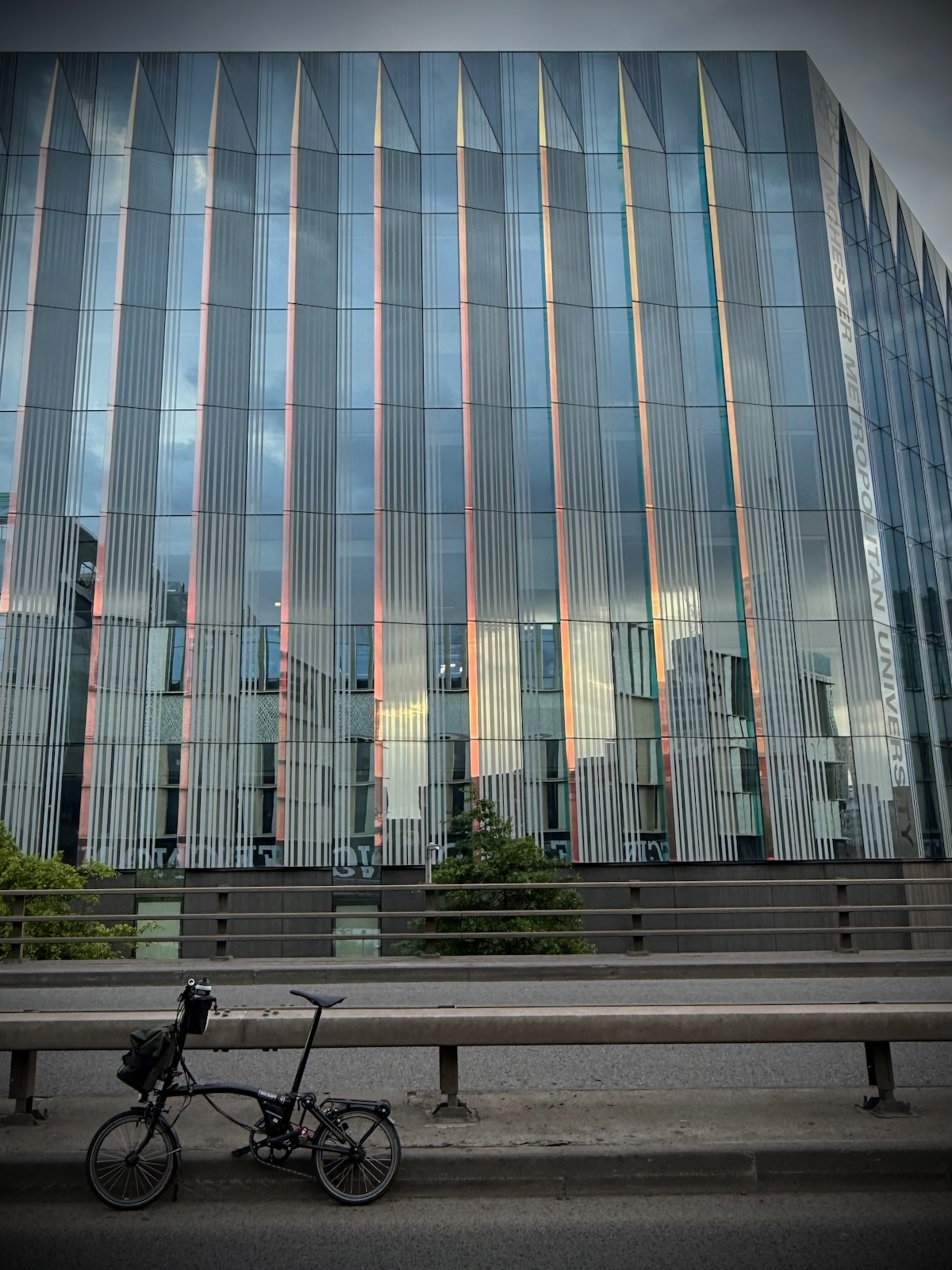
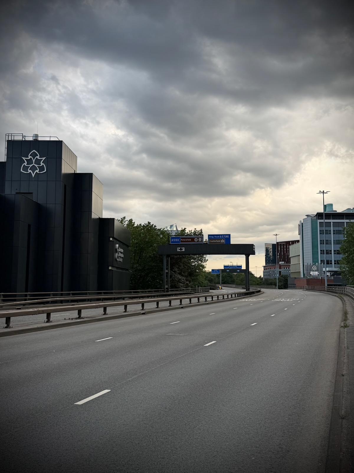
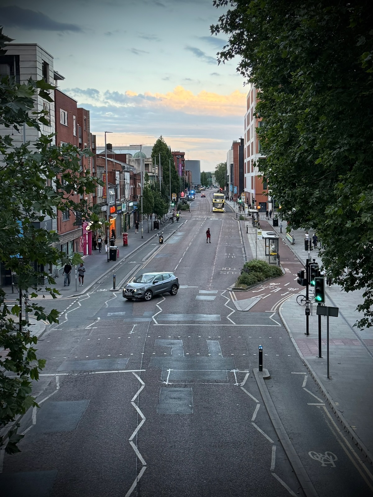
The MMU buildings continue to Oxford Road, which I passed next. Being a Saturday, Oxford Road was full of life with lots of people walking and cycling along, making the most of the summer evening.
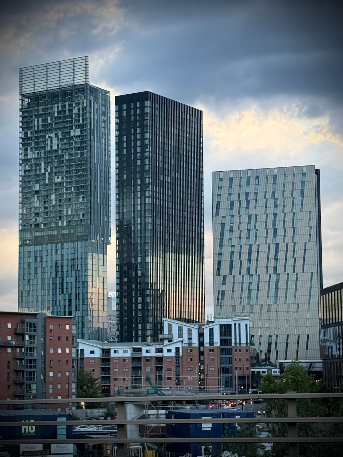
After Oxford Road is the new Circle Square development, replacing what used to be BBC’s New Broadcasting House. This is a mixed-use development with offices, residential towers, bars and restaurants. While not the worst development I’ve seen, it feels a bit windswept and soulless to me.
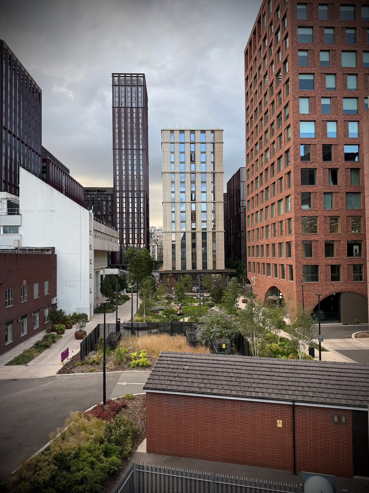
Next to Circle Square is one remaining old building of note, Manchester Technology Centre. Now owned by Bruntwood and occupied by MMU, it was originally called Oxford House and housed the National Computing Centre for many years.
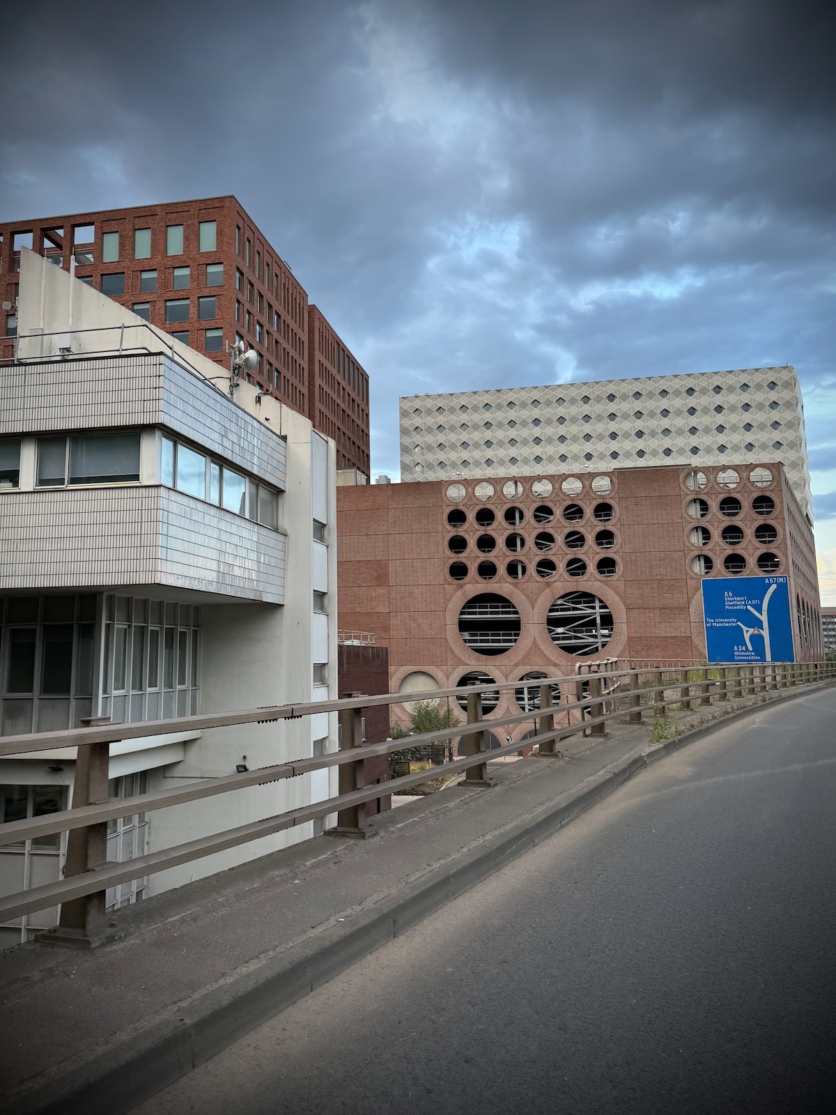
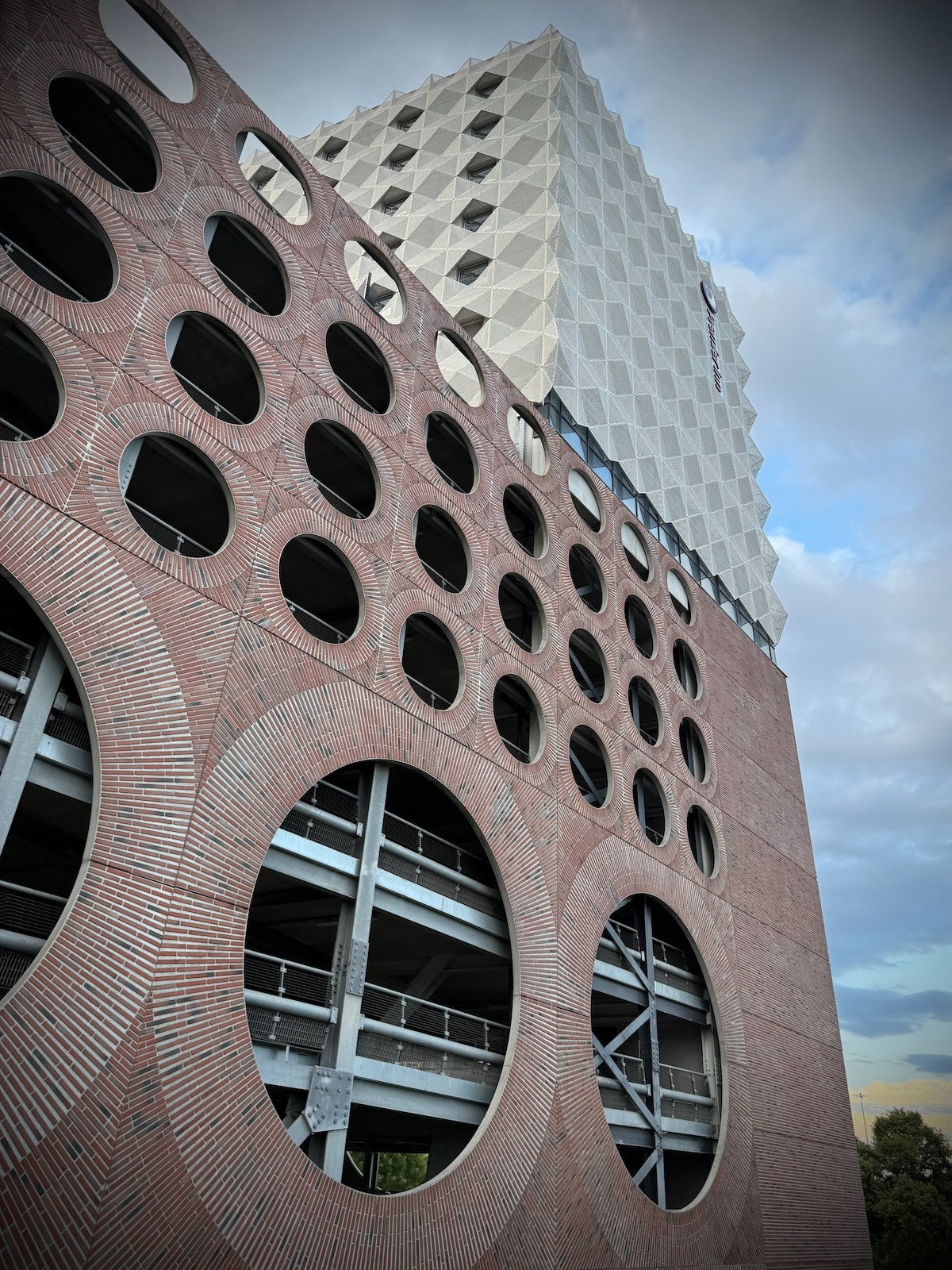
Oxford House was designed by Cruickshank and Seward, who were behind a few of the UMIST buildings, further along the Mancunian Way. But before reaching those, there’s a large multistorey car park with a Premier Inn rather incongruously perched on top.
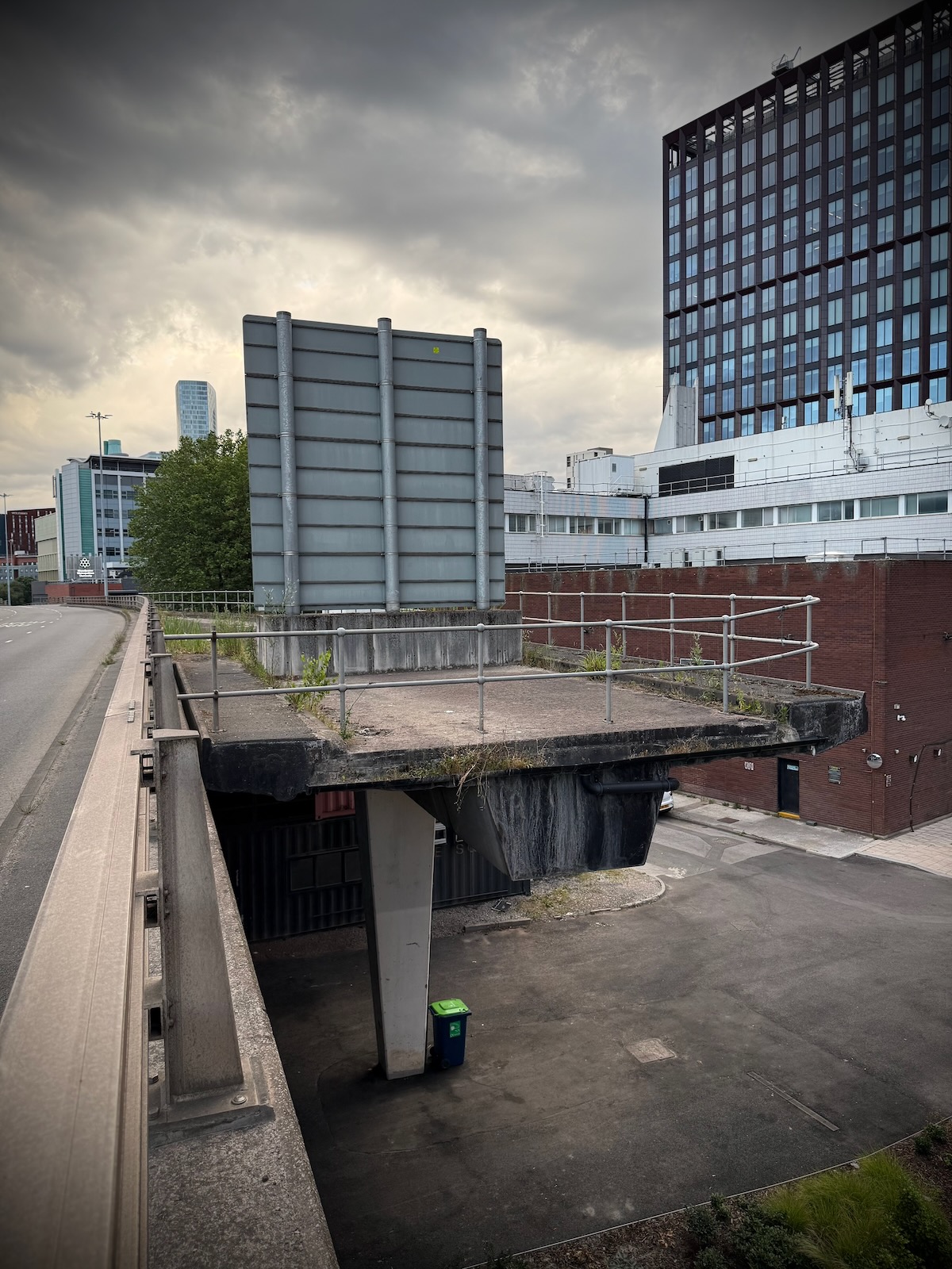
There’s also the much talked about unfinished slip road, that thousands of people must have passed daily, wondering what it was for. The slip road was originally intended to link to Princess Street, which was due to be widened into a dual carriageway, but was never built.
Looking at these plans for the university district, you can see how the widened Princess Street would have linked to the four lane Upper Brook Street. This makes more sense than the current arrangement where Upper Brook Street meets Brook Street and a narrow Princess Street. Though it would have been truly disastrous for for the city centre.
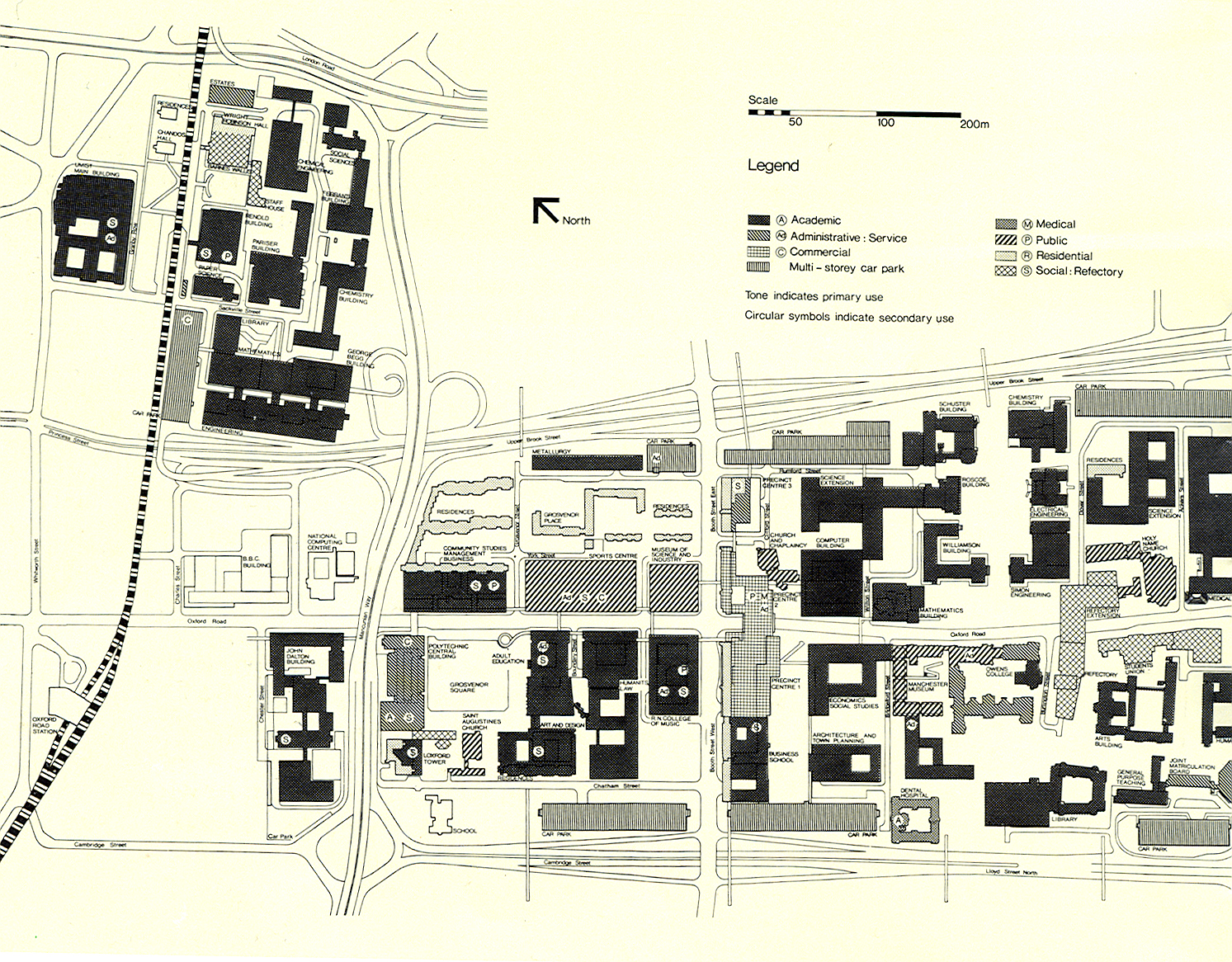
These plans also show how the various university buildings along Oxford Road were intended to be connected via pedestrian walkways in the sky. In the end, only a few around the student precinct and RNCM were completed.
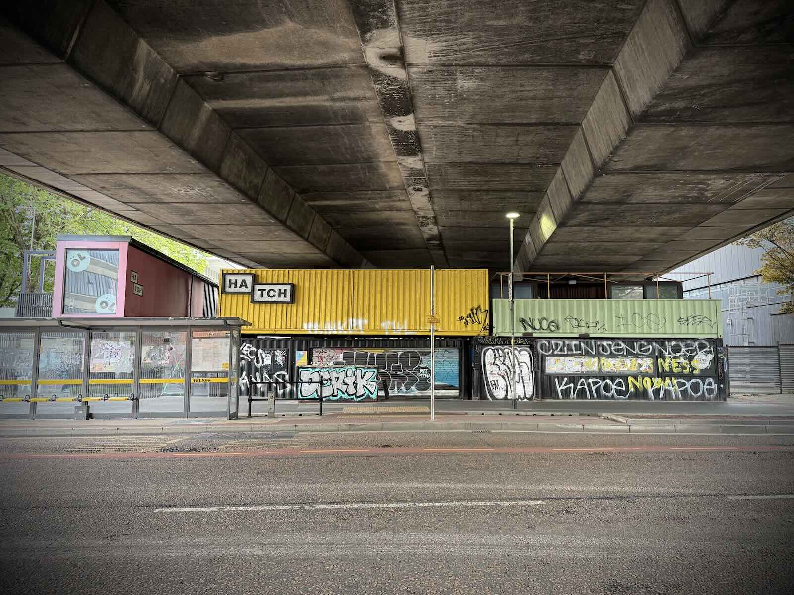
The slip road used to be longer with a curve in it, but it was shortened in 2018, to make space for the Circle Square development. Below the slip road and the adjacent section of the Mancunian Way used to be Hatch.
This was a pop-up retail and leisure space made of shipping containers, featuring many different food and drink vendors. Originally opened by Bruntwood in 2017, it sadly closed when it was sold to Stack Leisure who had plans to redevelop it, but have since done nothing.
This is such a shame as Hatch was a fantastic place to go, with some really great vendors. Being outdoors, it proved to be invaluable during the pandemic, when social distancing was the norm. I do hope it reopens some day.
After Circle Square, the Mancunian Way passes over Brook Street that sits between Princess Street and Upper Brook Street, then it’s the start of what used to be the UMIST campus. The University of Manchester Institute of Science and Technology (UMIST) was a university specialising in technical and scientific subjects, until it became part of the University of Manchester in 2004.
Originally known as the Manchester School of Technology, UMIST was initially located in the purpose-built Sackville Street Building, which opened in 1895. This building was further extended along Whitworth Street, between 1927 and 1957 as the college grew and received university status.
Having outgrown its original building, in the 1950s, Manchester City Council allocated UMIST a plot of land to the south of the Sackville Street Building, between Granby Row and the Mancunian Way. With the River Medlock running through it, this site had been very industrial and was heavily polluted.
A masterplan was drawn up by architects Thomas Worthington and Sons, who also designed one of the buildings, Staff House. The masterplan saw the polluted Medlock culverted and the site filled with green spaces and modernist buildings.
While Thomas Worthington and Sons were responsible for the masterplan, many of the buildings on the campus were the work of architecture practices Cruickshank and Seward, and Harry S Fairhurst and Son. Both of these firms have also design many buildings of note across Manchester and beyond.
You can read more about the development of the modernist campus on the University of Manchester’s website, and see some fantastic photos by Modern Mooch of the UMIST campus, the Roscoe Building, Renold House,
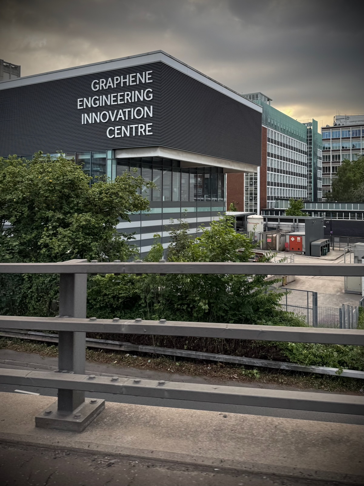
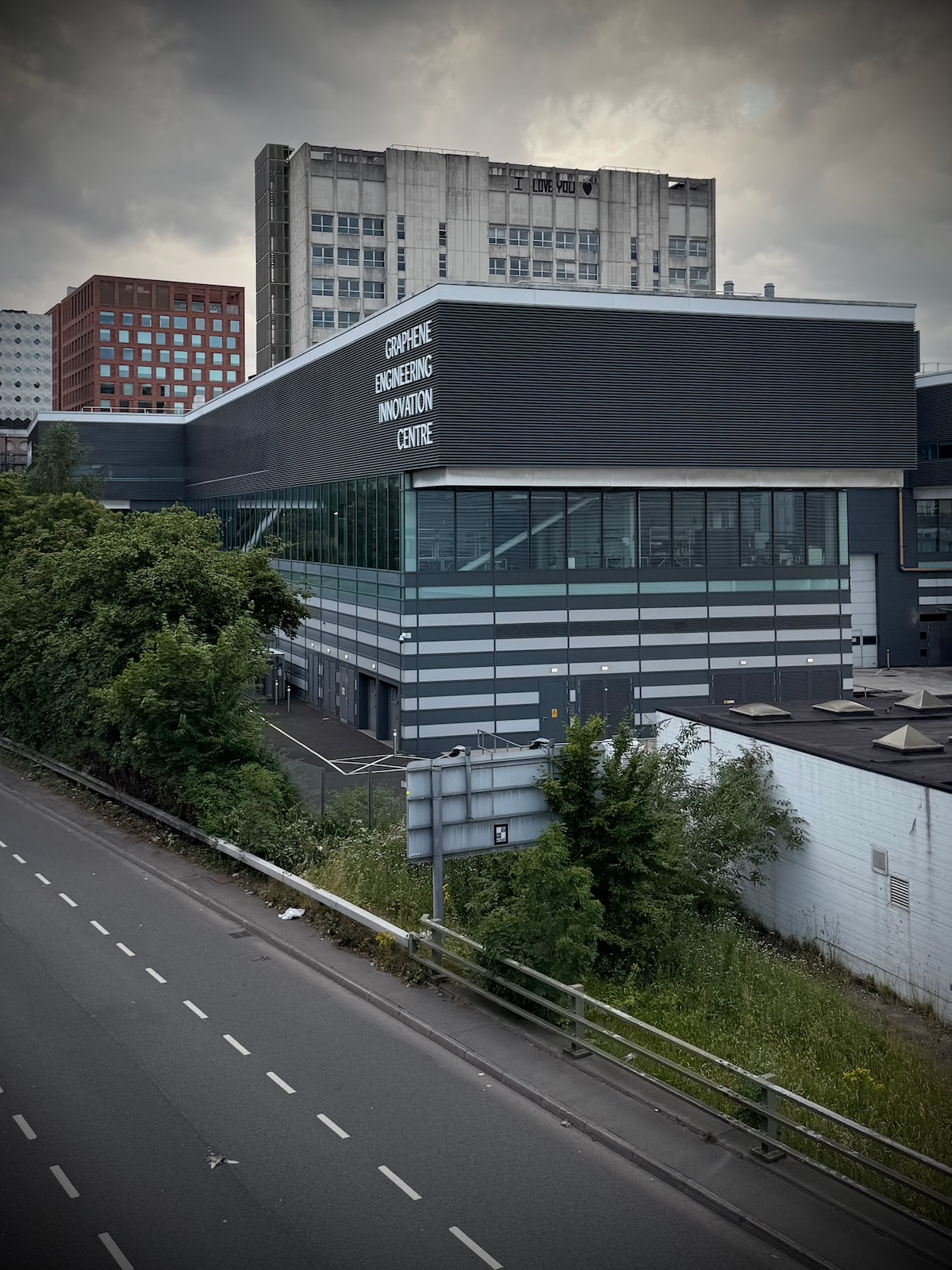
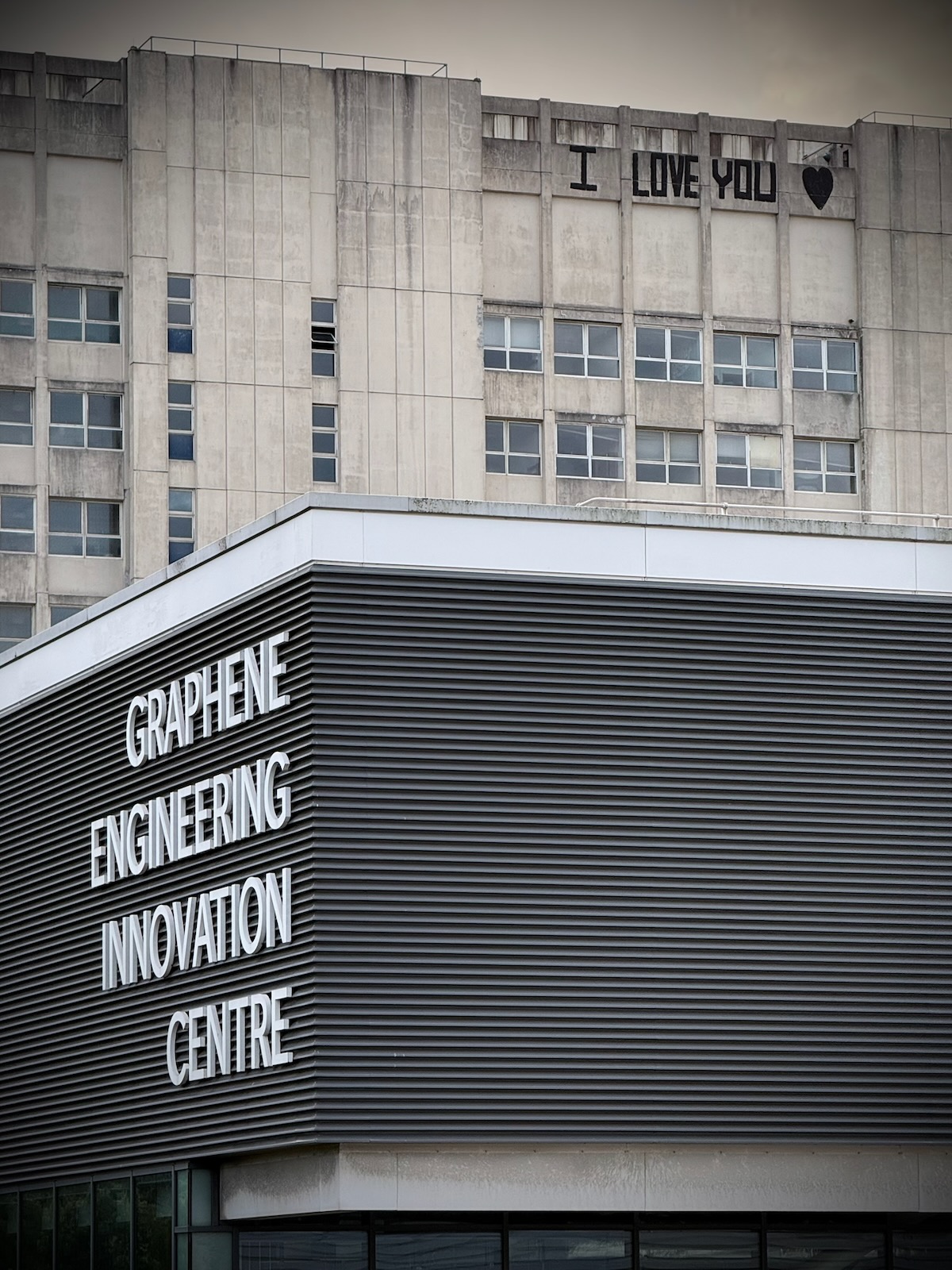
In more recent years, the campus buildings have been augmented with the much less inspiring Graphene Engineering Innovation Centre. There’s also plans to redevelop the campus into a vibrant neighbourhood and innovation district called Sister, as part of a joint venture between the University of Manchester and Bruntwood Sci-Tech.
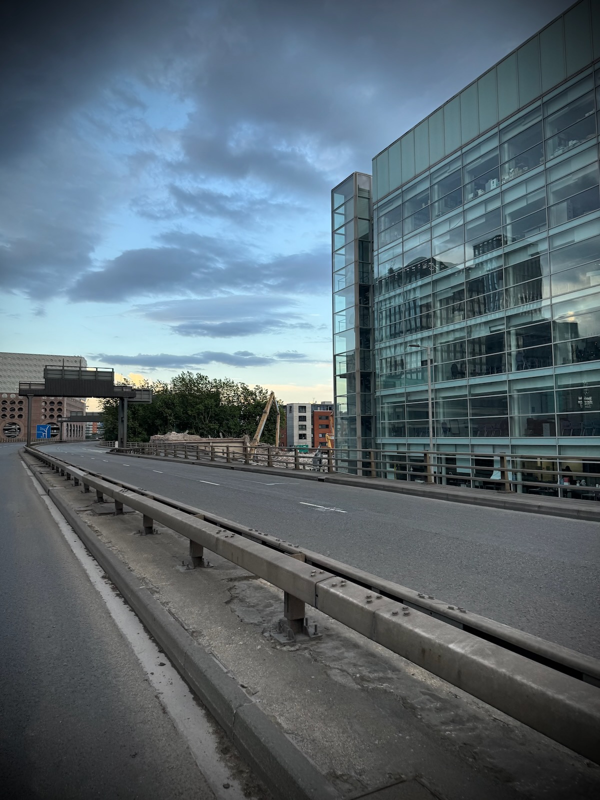
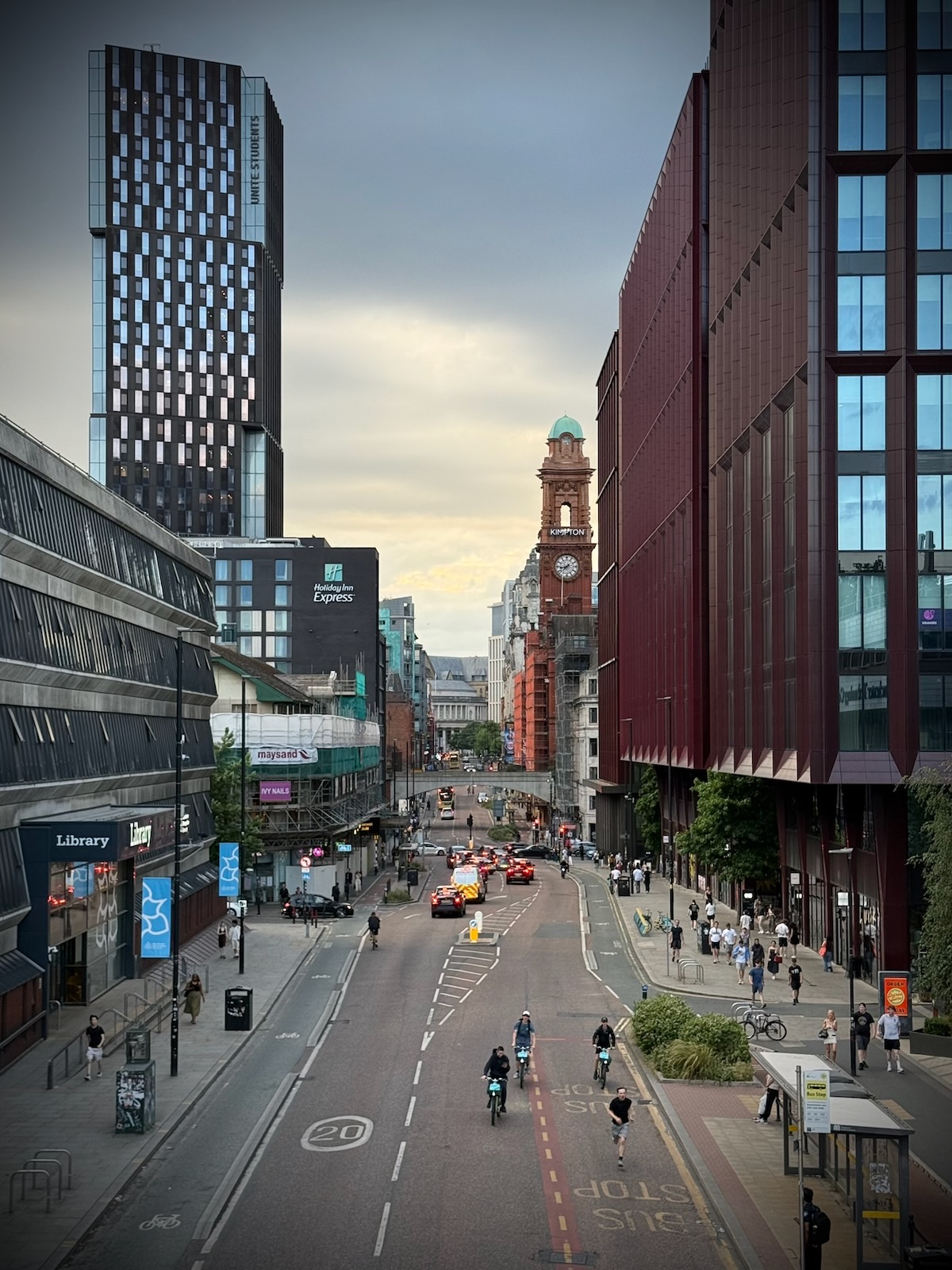
The UMIST campus continues until London Road, where the Mancunian Way originally ended and where the flyover was added in the 1990s. The view as you cross London Road is largely of the modern former BT building (now a hotel) that snakes along the road.
I still remember as a child riding along here in the back of my dad’s car, thinking how wonderfully modern this building looked, as well as how unusual the tidal flow lanes along London Road were.
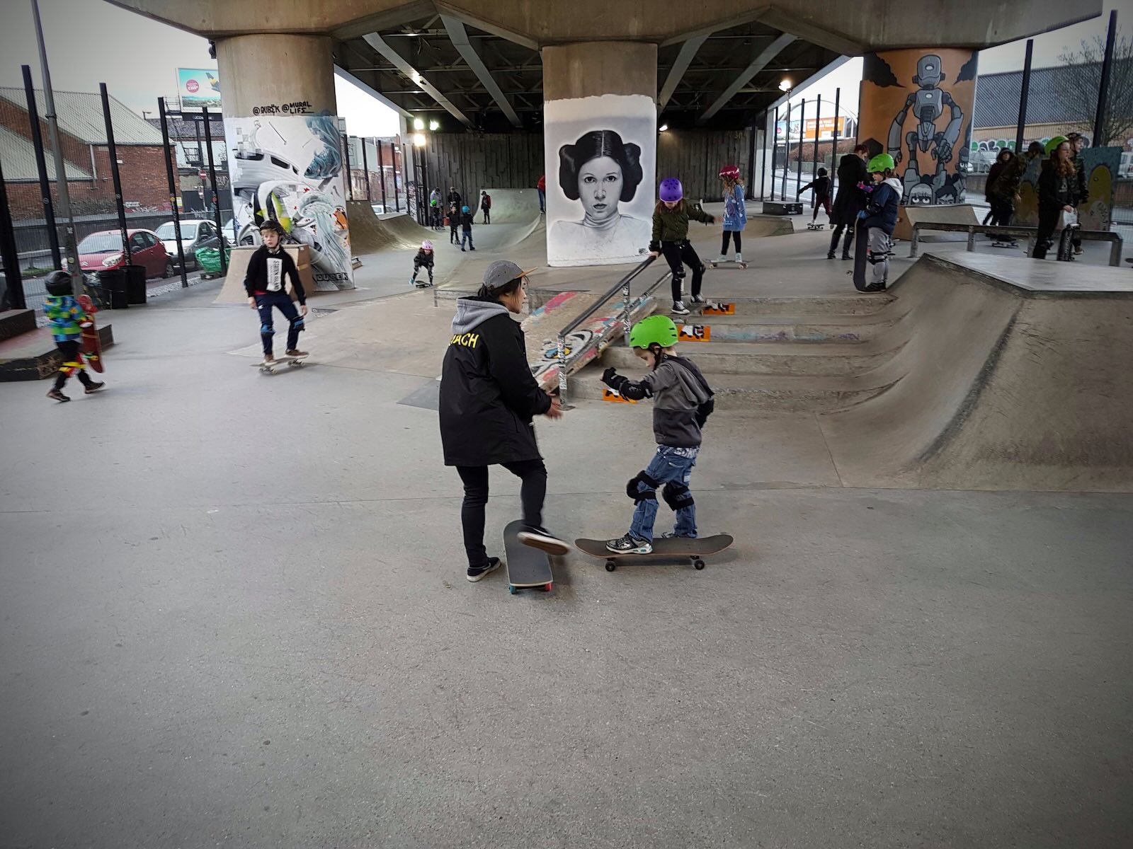
Below the eastern side flyover is the fantastic Projekts Skatepark, a not for profit Community Benefit Society that originally opened in 2004. The origins of the skatepark link to a controversial 2001 Manchester City Council bylaw that banned all street skateboarding in the city centre. This led to an initial somewhat makeshift skatepark which has been significantly upgraded over time.
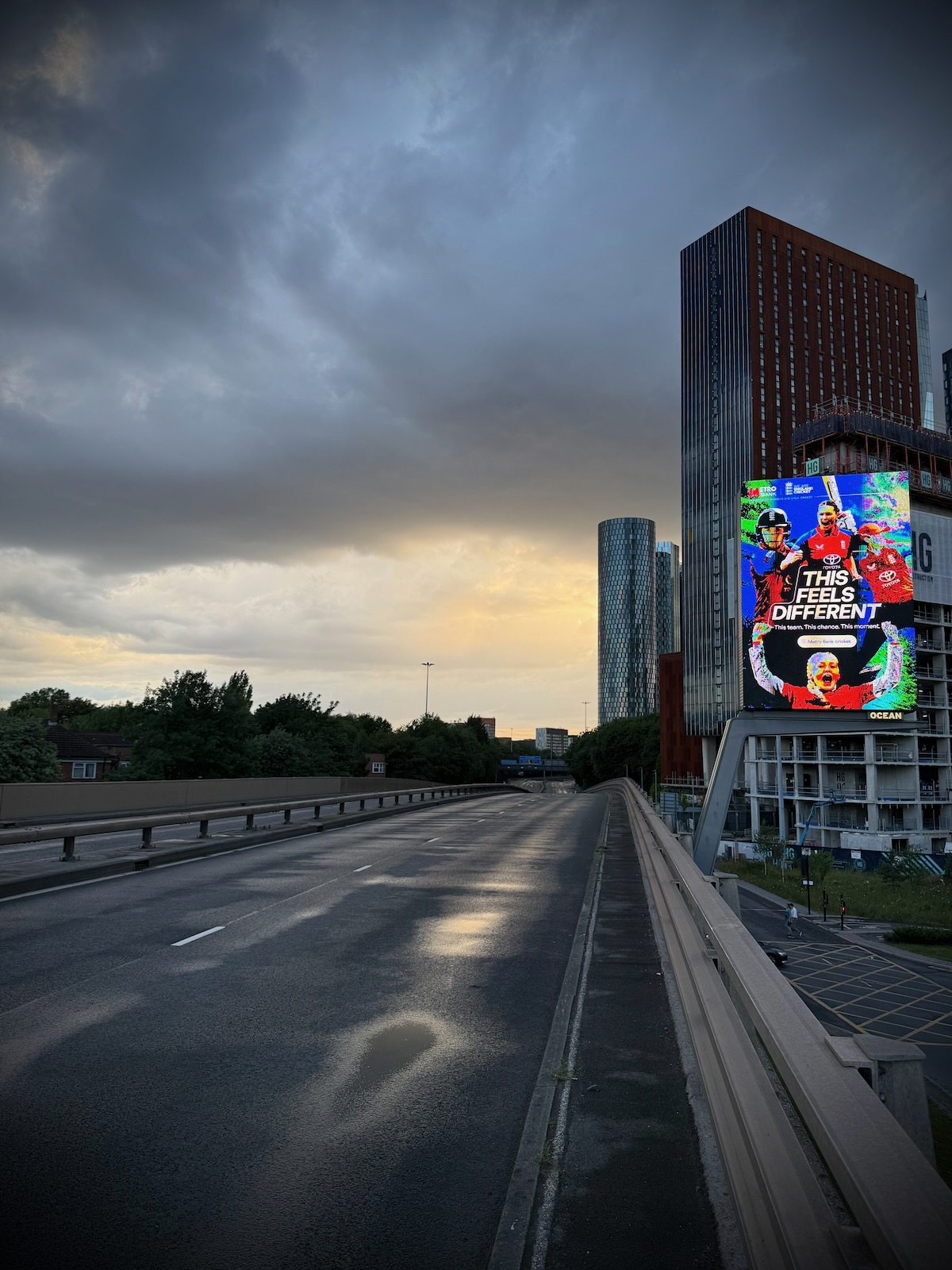
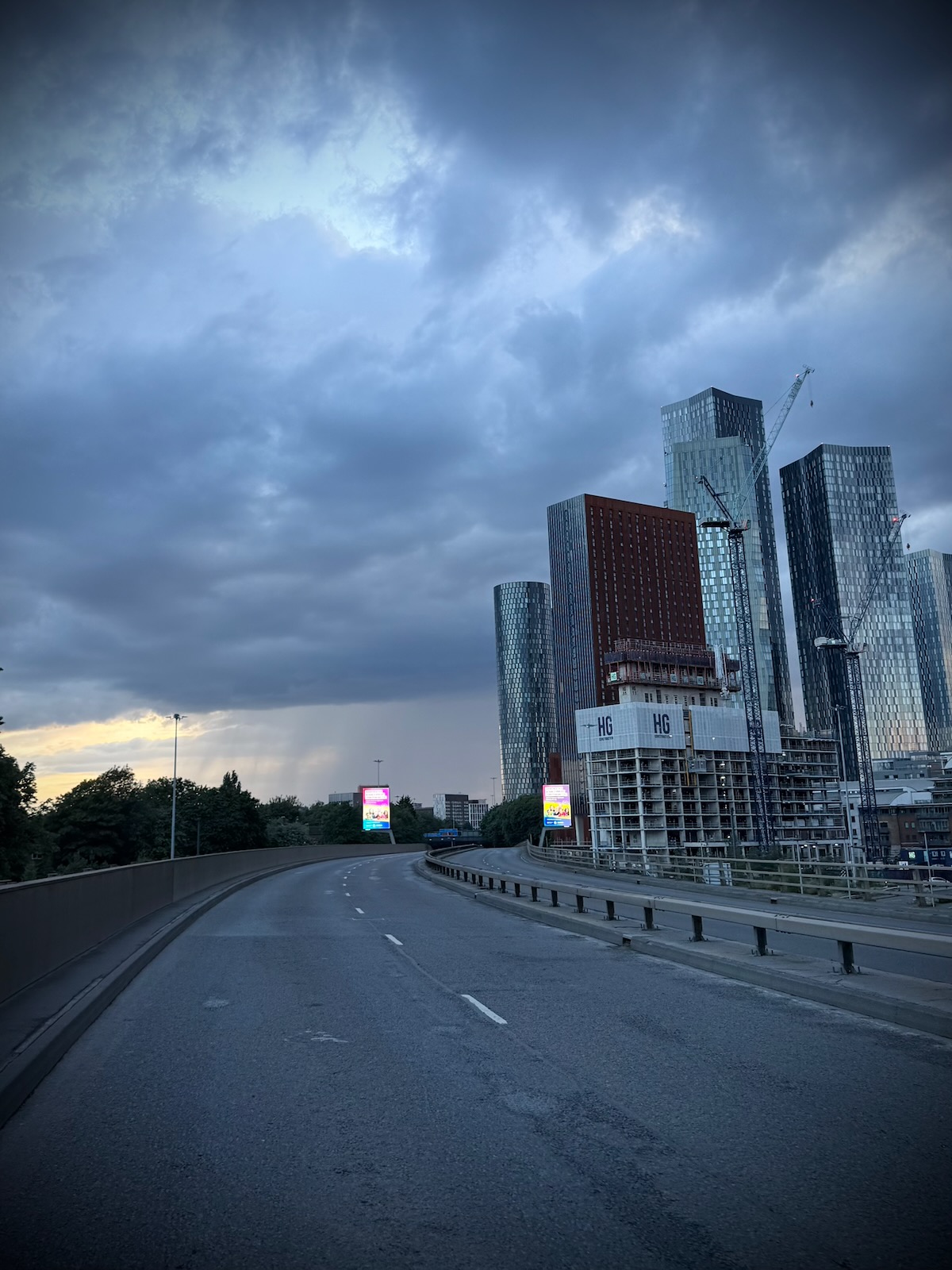
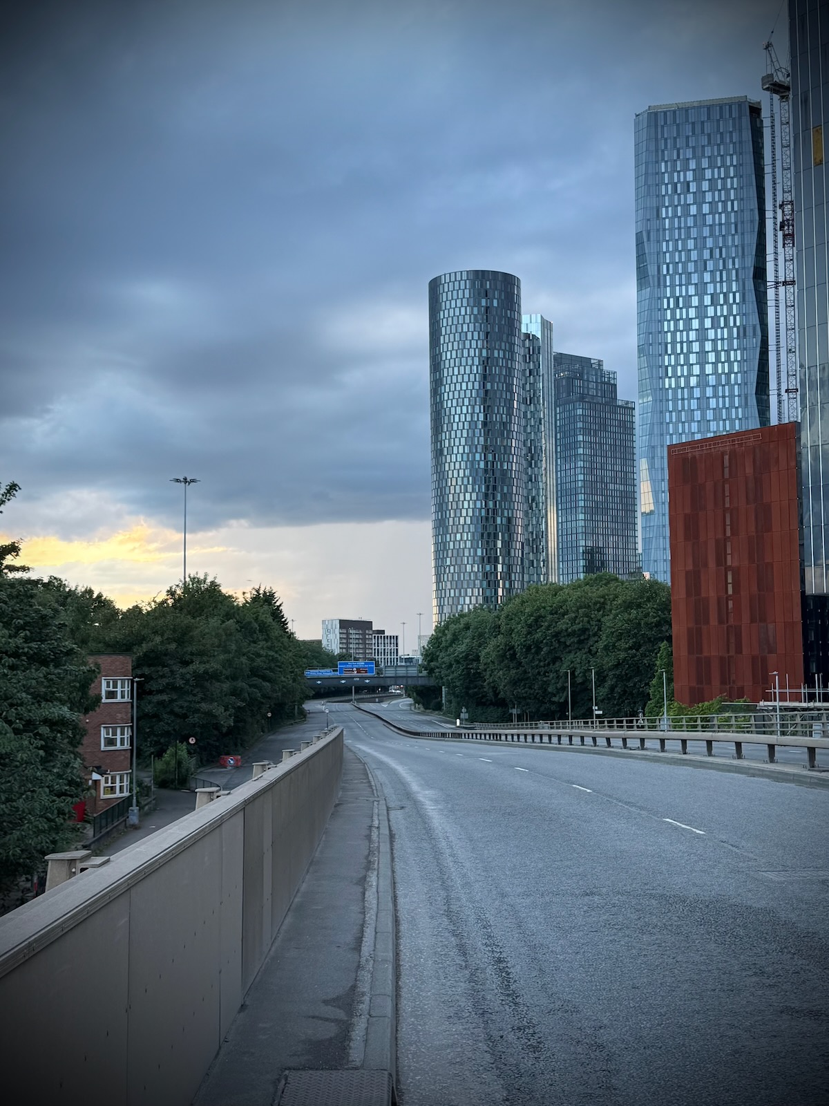
Behind the BT building are more student towers, which then lead onto Mayfield Park, a new city park on the banks of the River Medlock that opened in 2022. Behind the park is the old Mayfield Depot, which was once a relief railway station for Manchester Piccadilly Station (London Road Station at the time) and is now home to Freight Island.
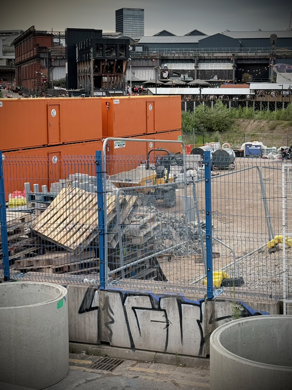
In front of the park is a construction site, where the first building to be delivered as part of the Mayfield regeneration scheme. Called The Republic, this will be an office building, with views across the park (as well as the Mancunian Way). Long term, the development here will shield the park from the Mancunian Way, hopefully reducing noise and pollution.
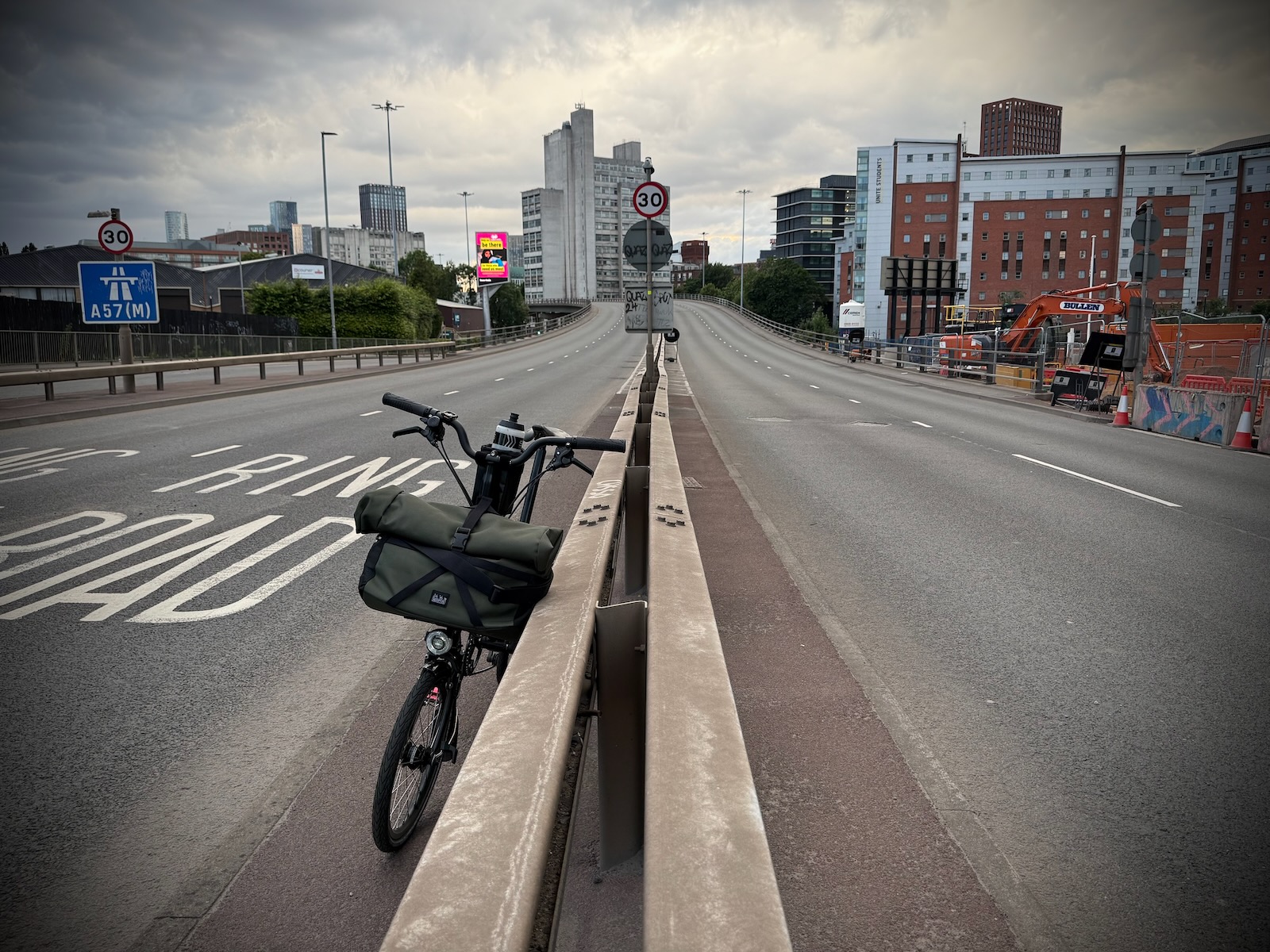
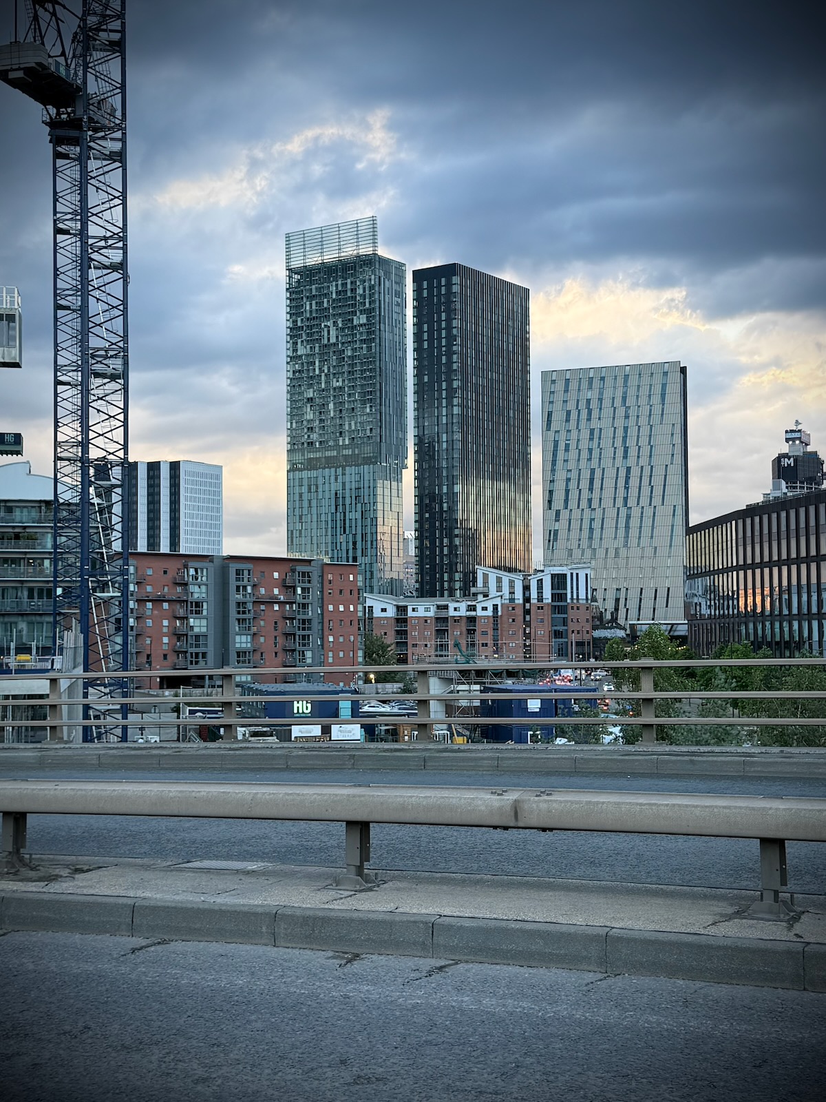
Reaching the Mayfield area, I decided to cross over the central reservation and ride back along the westbound side, stopping for a moment on the barriers of that central reservation, to take in the view and take some photos.
Riding back along the other side gave me opportunity to look south along those key roads spanning out from the city, starting with Upper Brook Street, another road that once had tidal lanes. Largely home to Manchester’s hospital district, the road is now seeing a lot of non-hospital development on its eastern side.
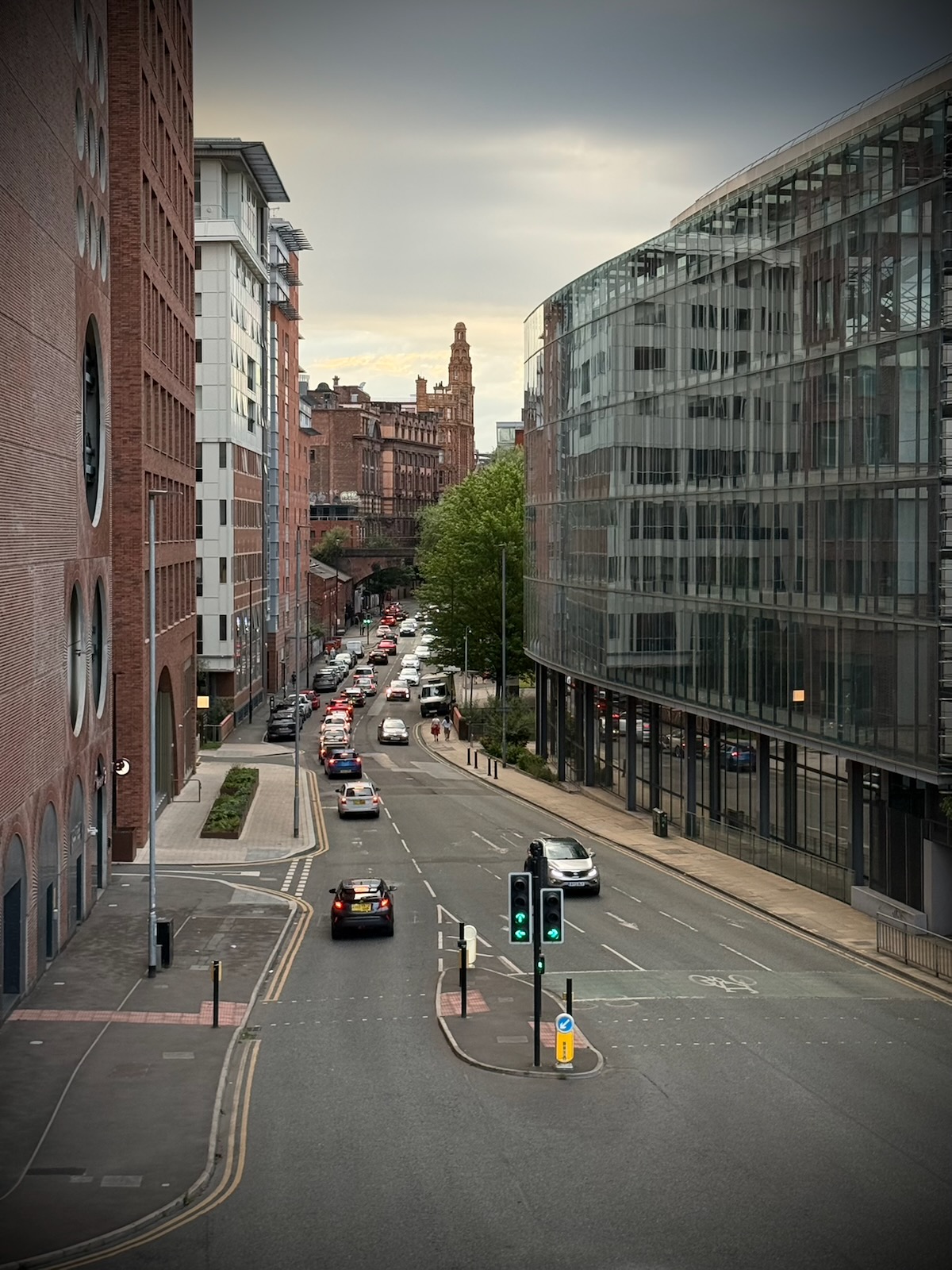
I was next able to look outwards along Oxford Road, past All Saints and towards the University of Manchester campus. I’m so used to how relatively calm Oxford Road is nowadays, it’s easy to forget how unpleasant it used to be before it gained good quality protected cycling infrastructure.
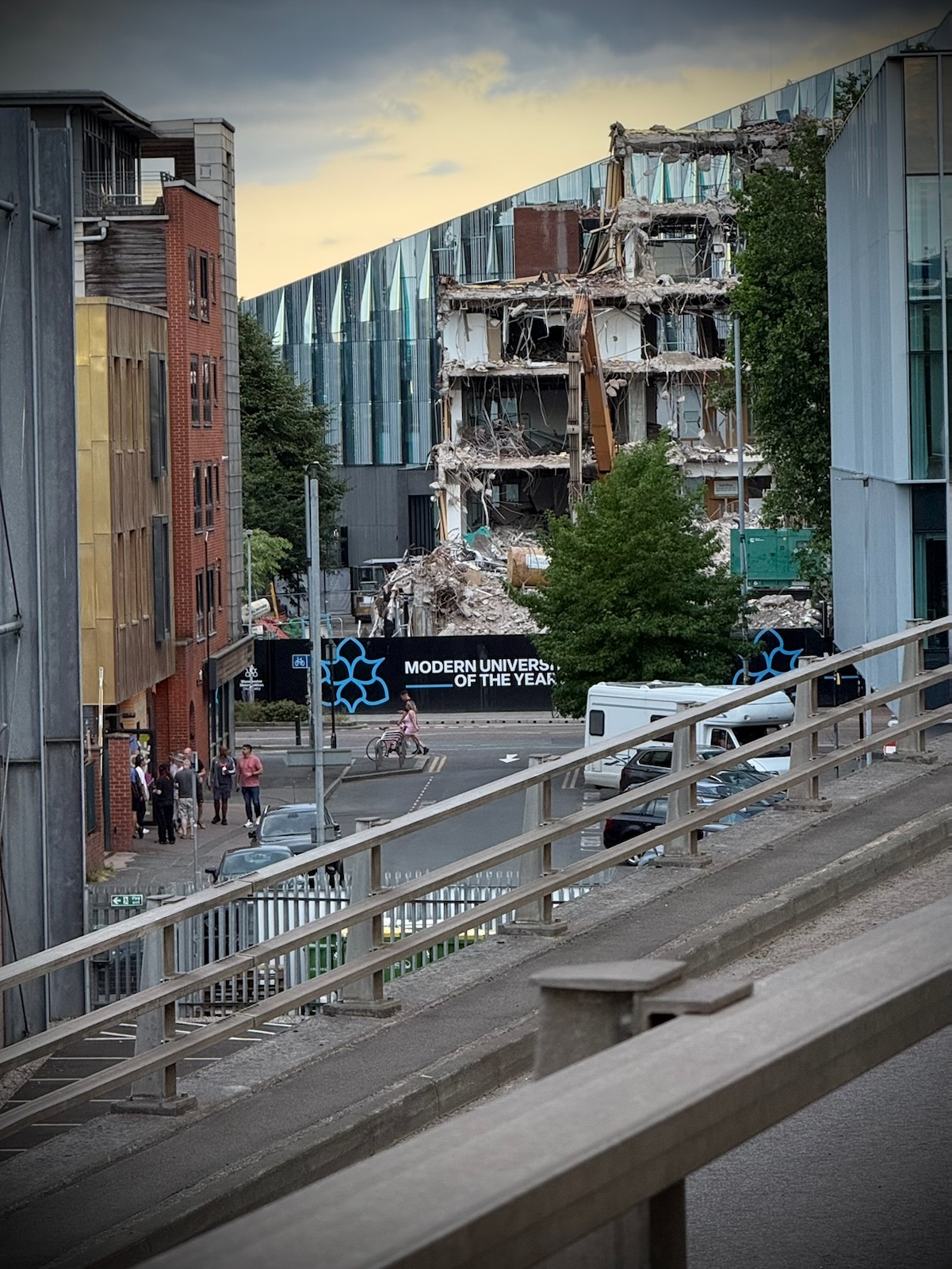
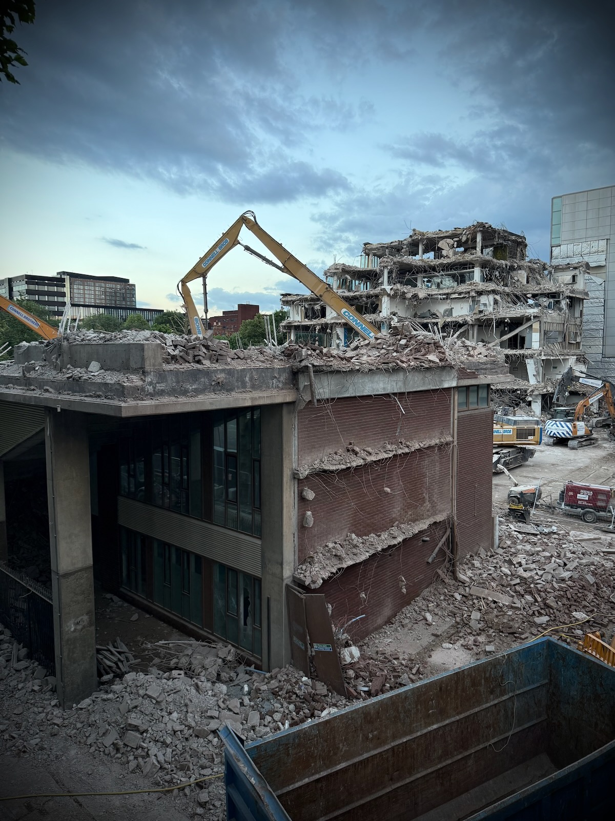
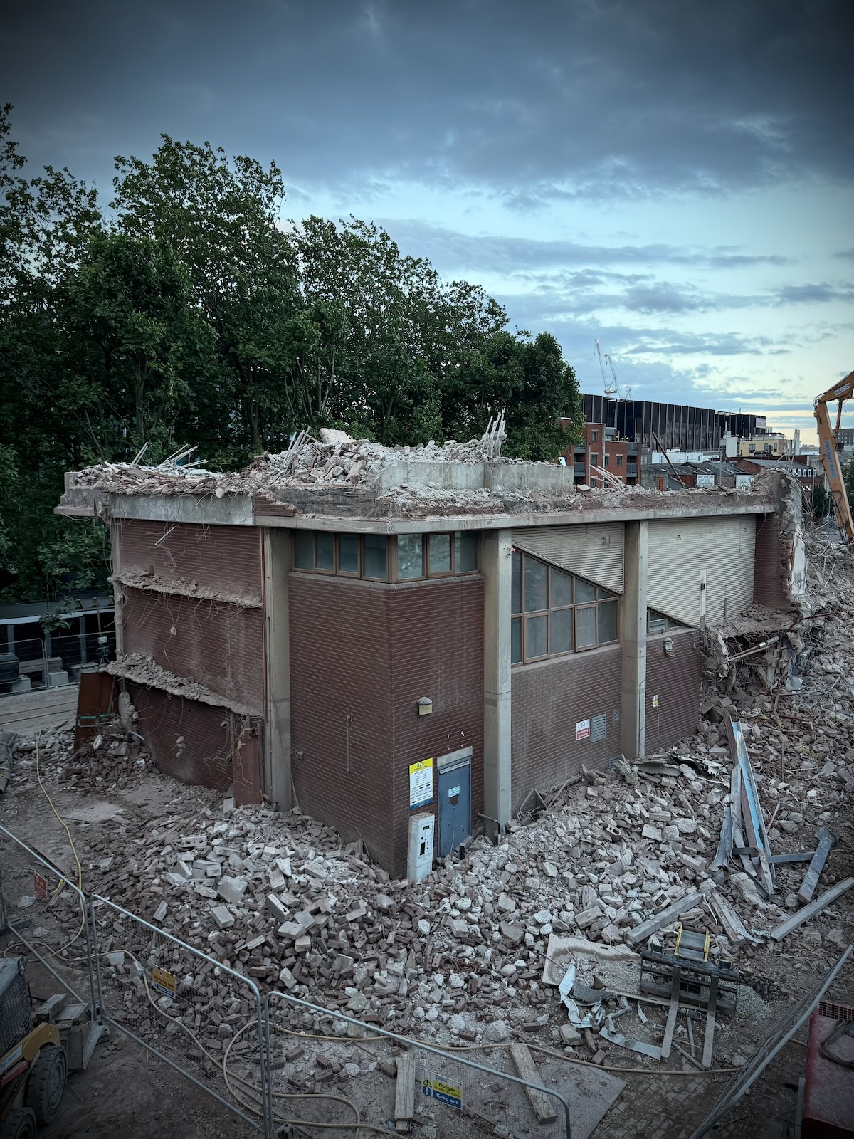
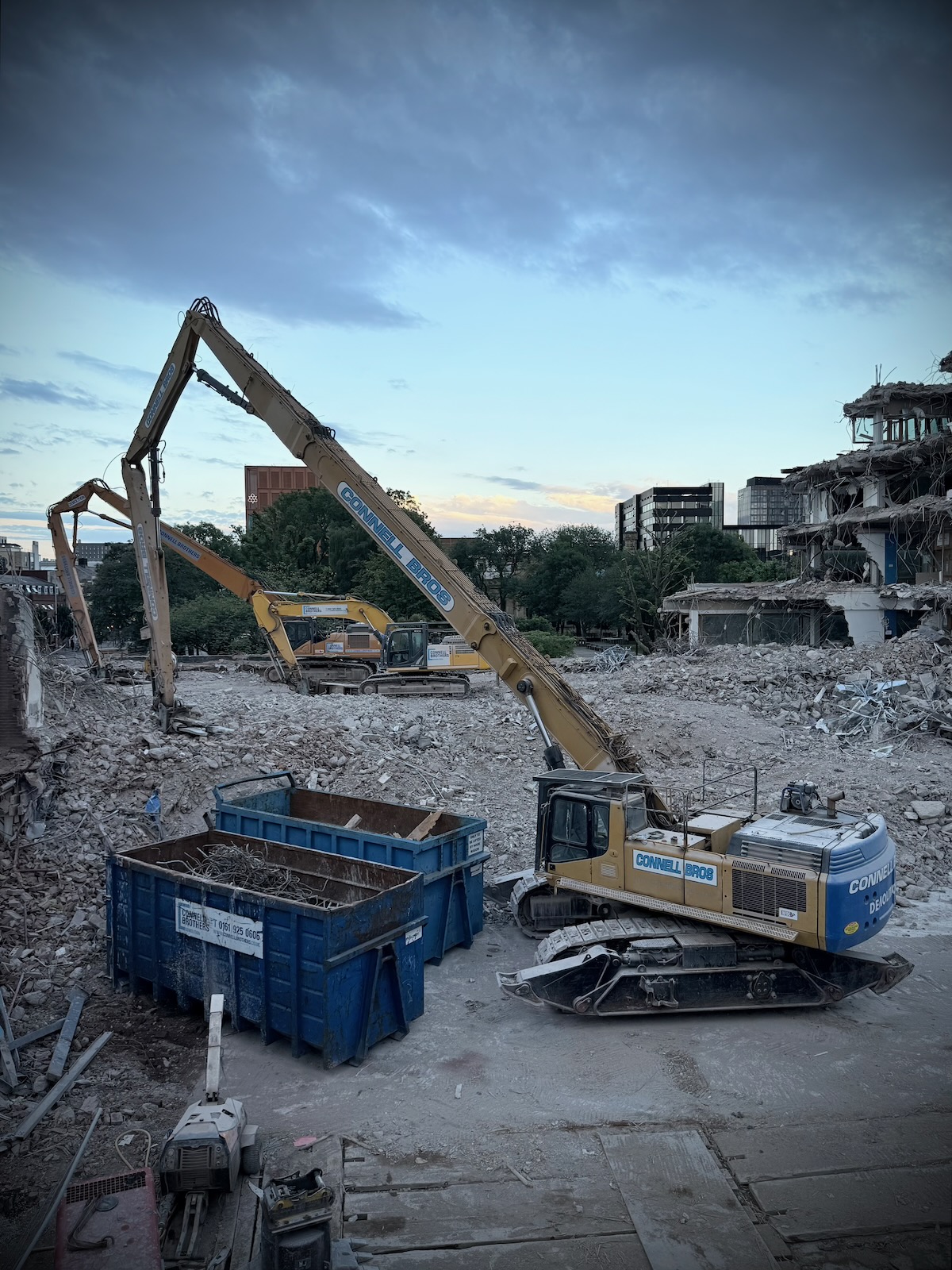
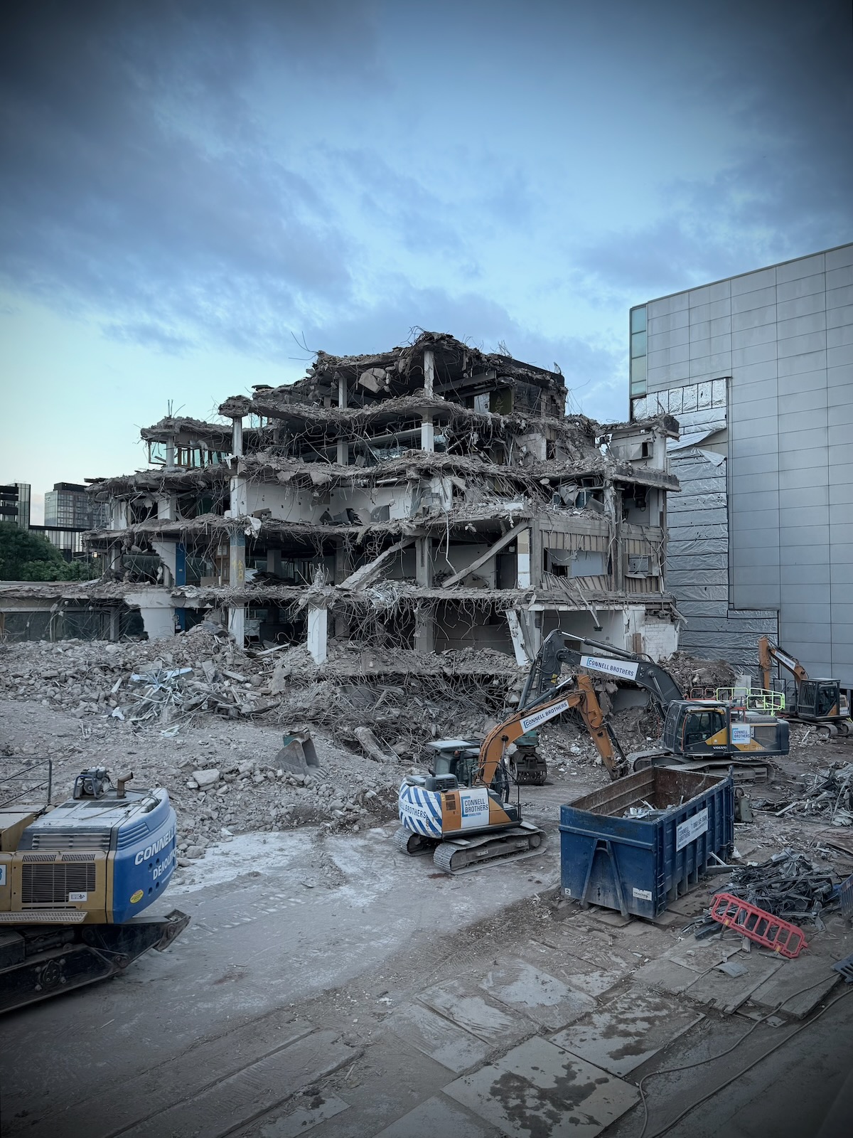
Talking of All Saints, I now arrived the location of the former MMU All Saints Library, which is in the process of being demolished and replaced with a new modern library building.
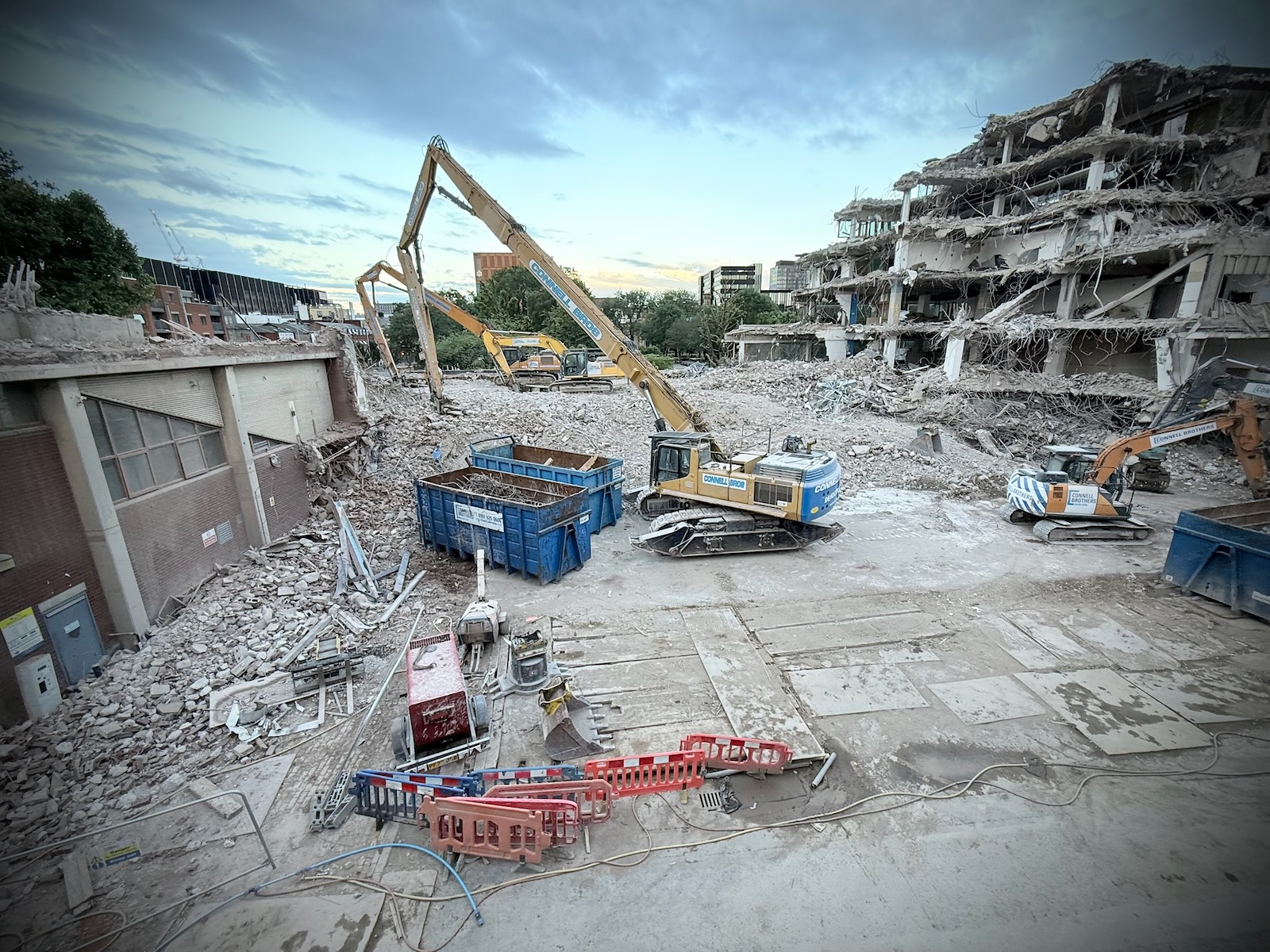
The design of the new library has been scaled back from the initial plans, which were originally described by the university as “visionary”. This was apparently due to cost.
I have to say, I find both the original and revised designs pretty awful. The original looked gimmicky and the revised drab. Both look dated before they’ve even been built, mirroring many of the cheap looking student towers nearby.
I now passed the multitude of MMU buildings I had previously, before reaching the Princess Road junction again. At this point, I had views down onto The Redbricks, otherwise known as the Bentley House estate. Made of six rows of art deco flats, the estate dates back to the 1940s, and predate the Mancunian Way.
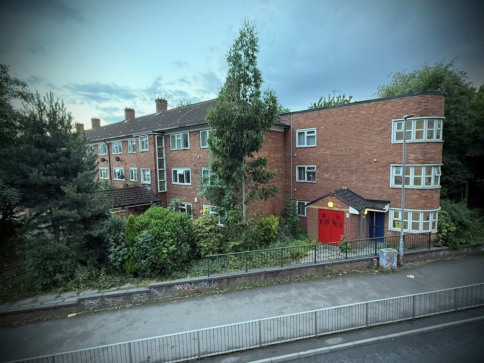
There’s an interesting history to this estate on the edge of the Mancunian Way, which has housed a vibrant community. There’s a video about the estate from 2017, to mark its 70th anniversary that’s worth watching.
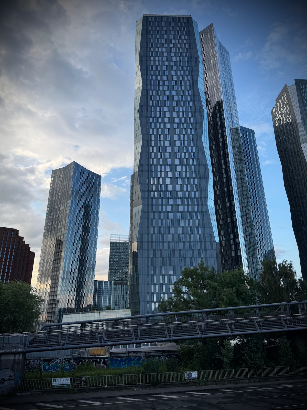
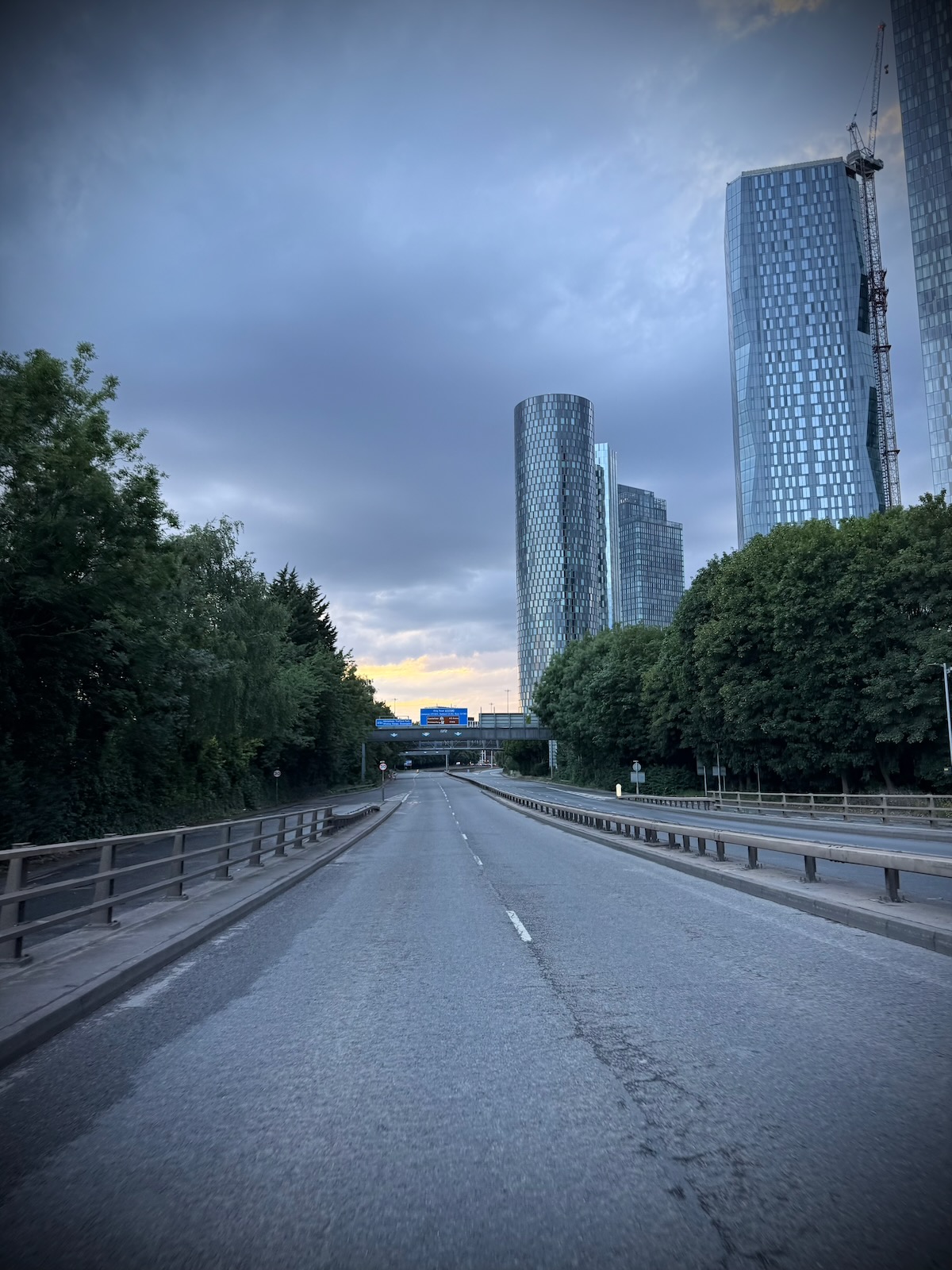
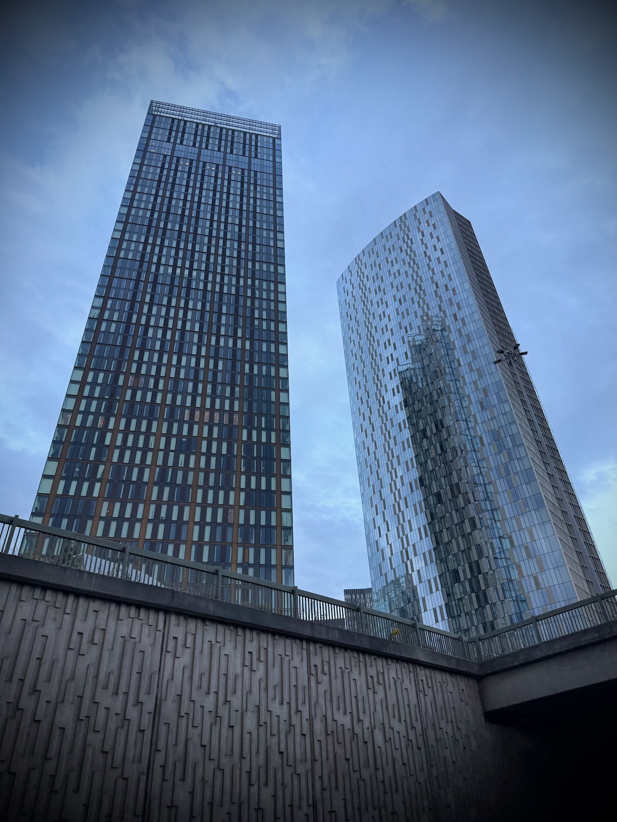
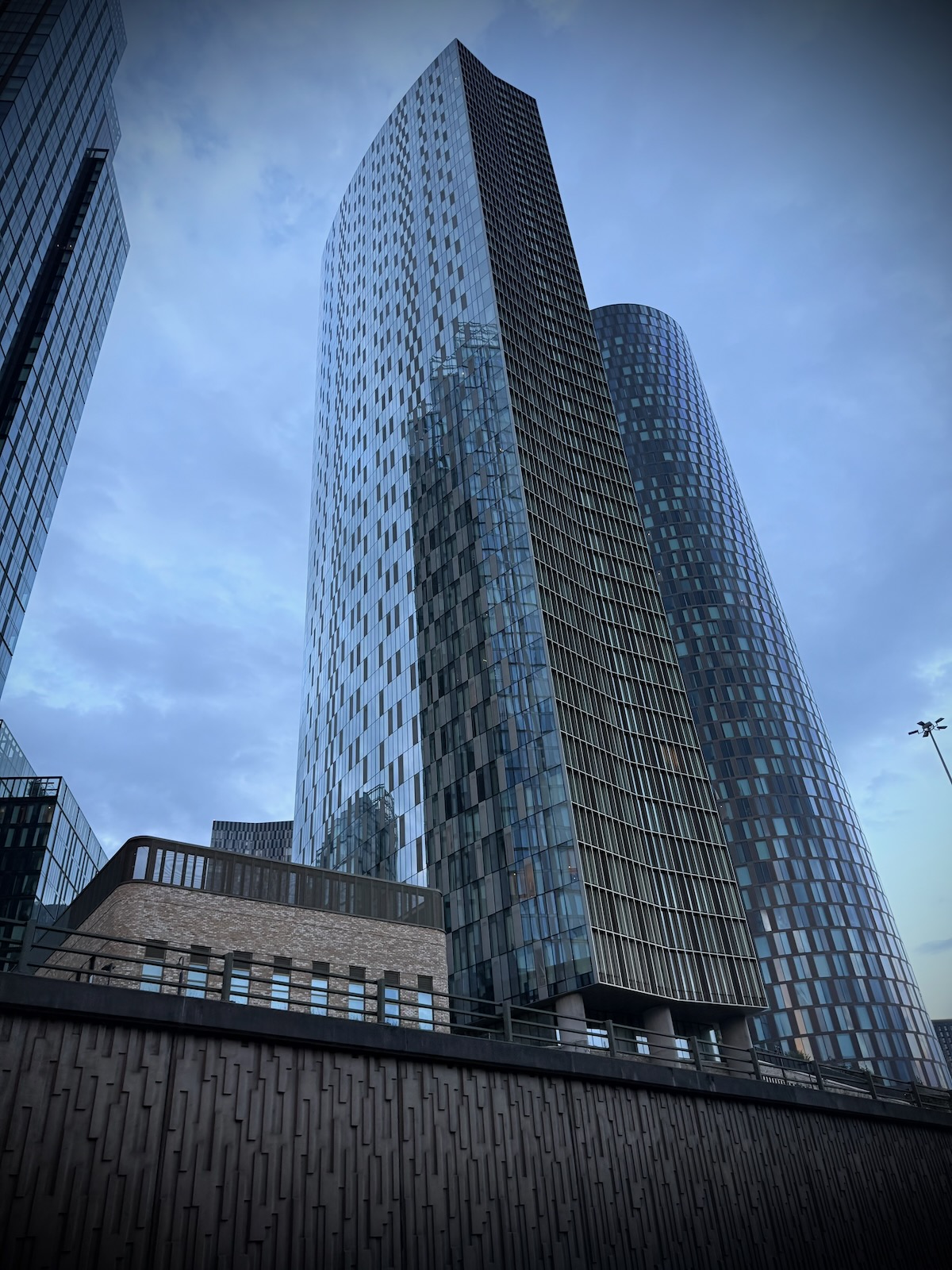
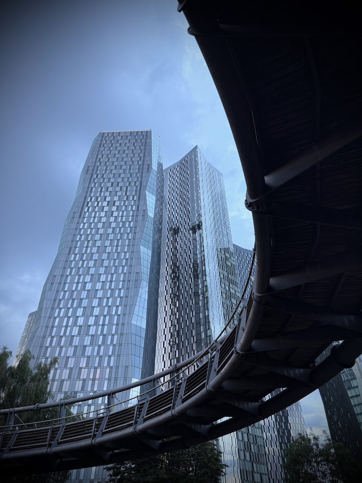
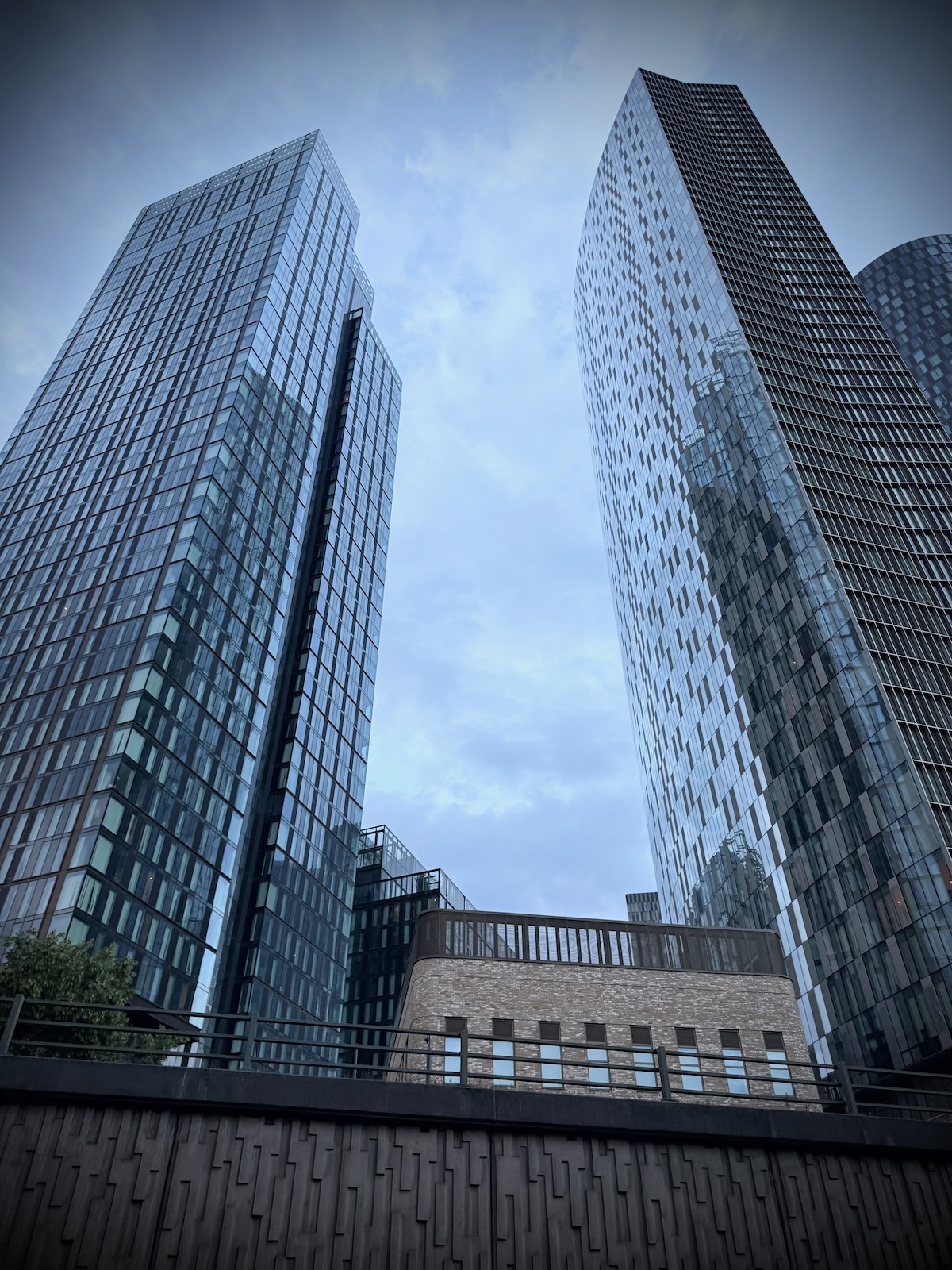
I was now back at the Horseshoe Bridge where I started, with views of the New Jackson towers, that contrast significantly with the older estates on the other side of the Mancunian Way.
Early in the development of the New Jackson neighbourhood, proposals included a green bridge that would have covered a sizeable section of the Mancunian Way and linked the Hulme Park area to the new development.
This would have been a fantastic addition and have gone some way to addressing the severance caused by the Mancunian Way. Sadly, like so many green initiatives included in proposals, these were subsequently quietly dropped. I now can’t find any reference to the green bridge whatsoever.
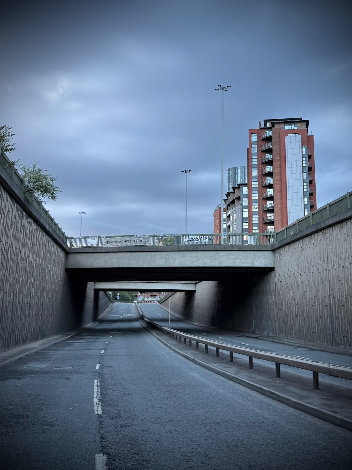
Continuing past the Horseshoe Bridge, I made my way towards the underpass, passing by many of the towers of the New Jackson development, as well as the new Crown Street Primary School, that sits between them.
While it’s great seeing a new school being built in the city centre, I’m really not sure about its location, overlooking the Mancunian Way cutting. I’d hate to think of what the air pollution is like at the school. Though actually, it’s not that unusual to see schools located on busy roads with poor air quality.
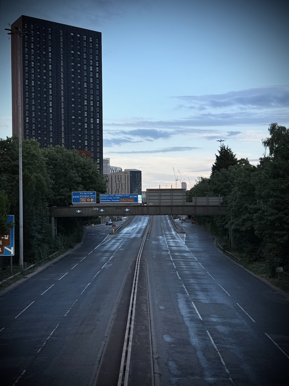
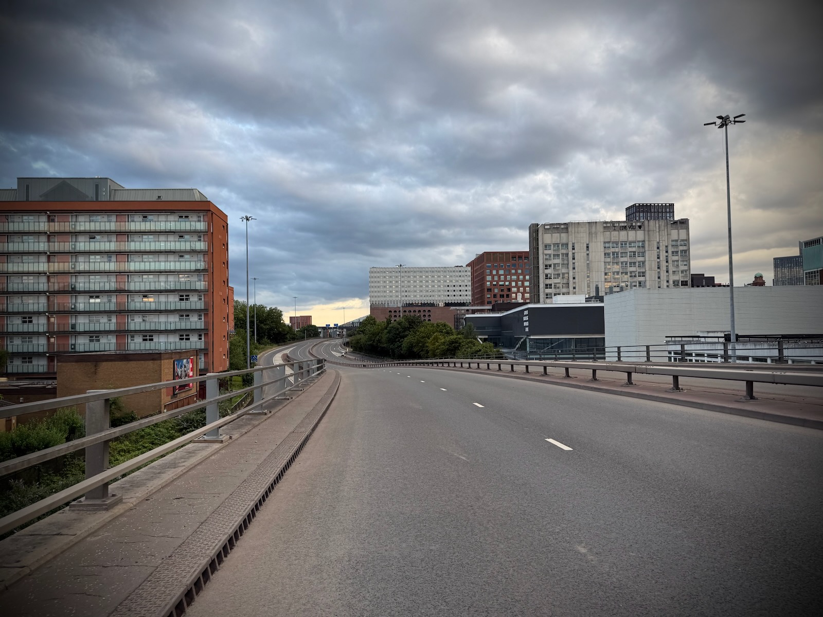
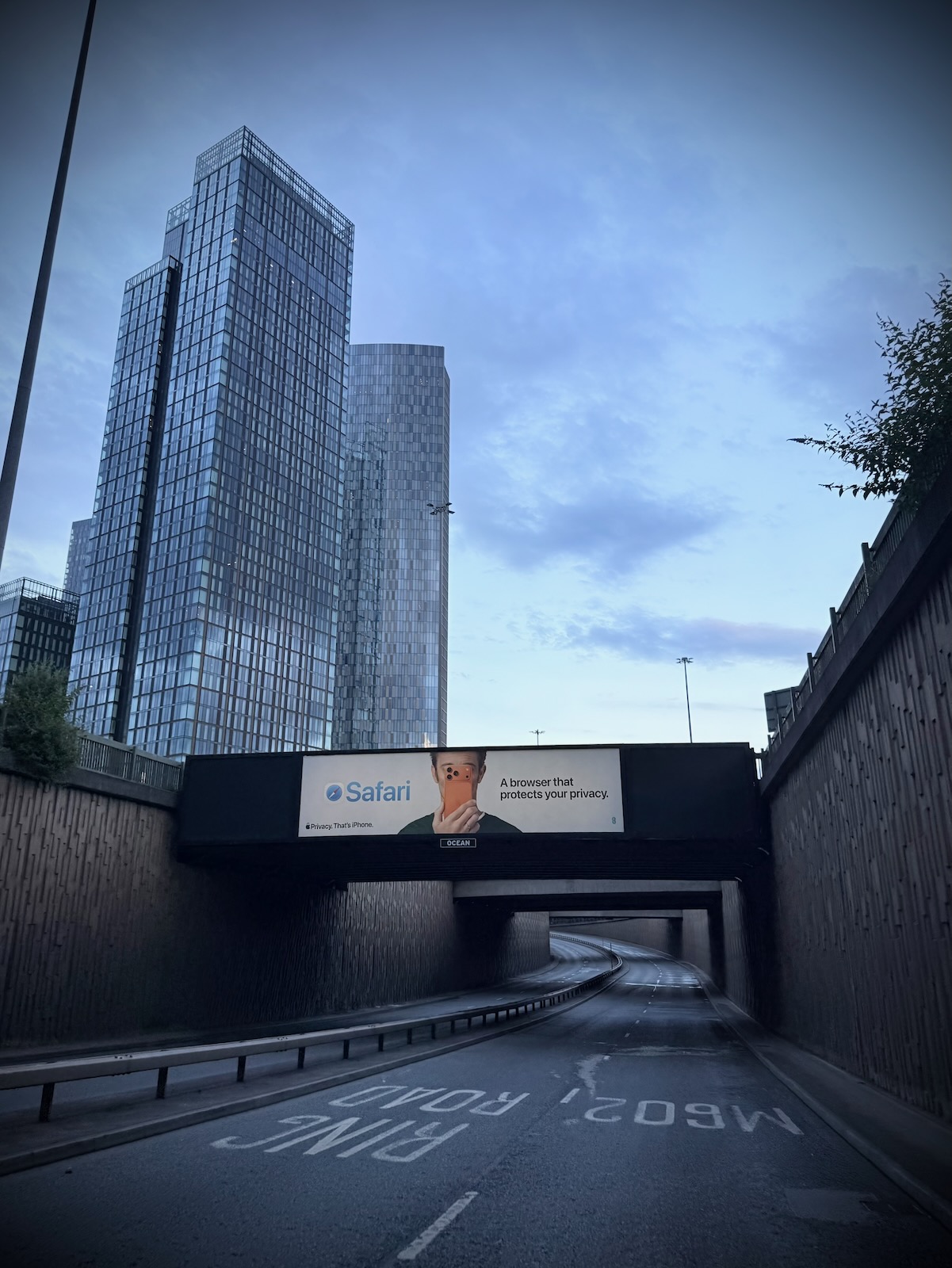
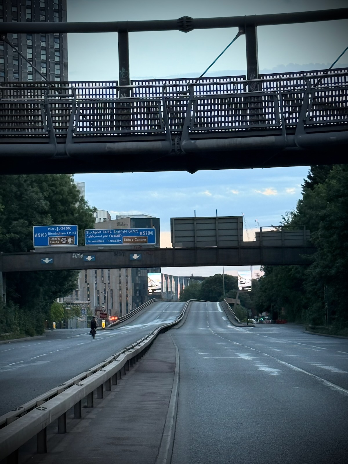
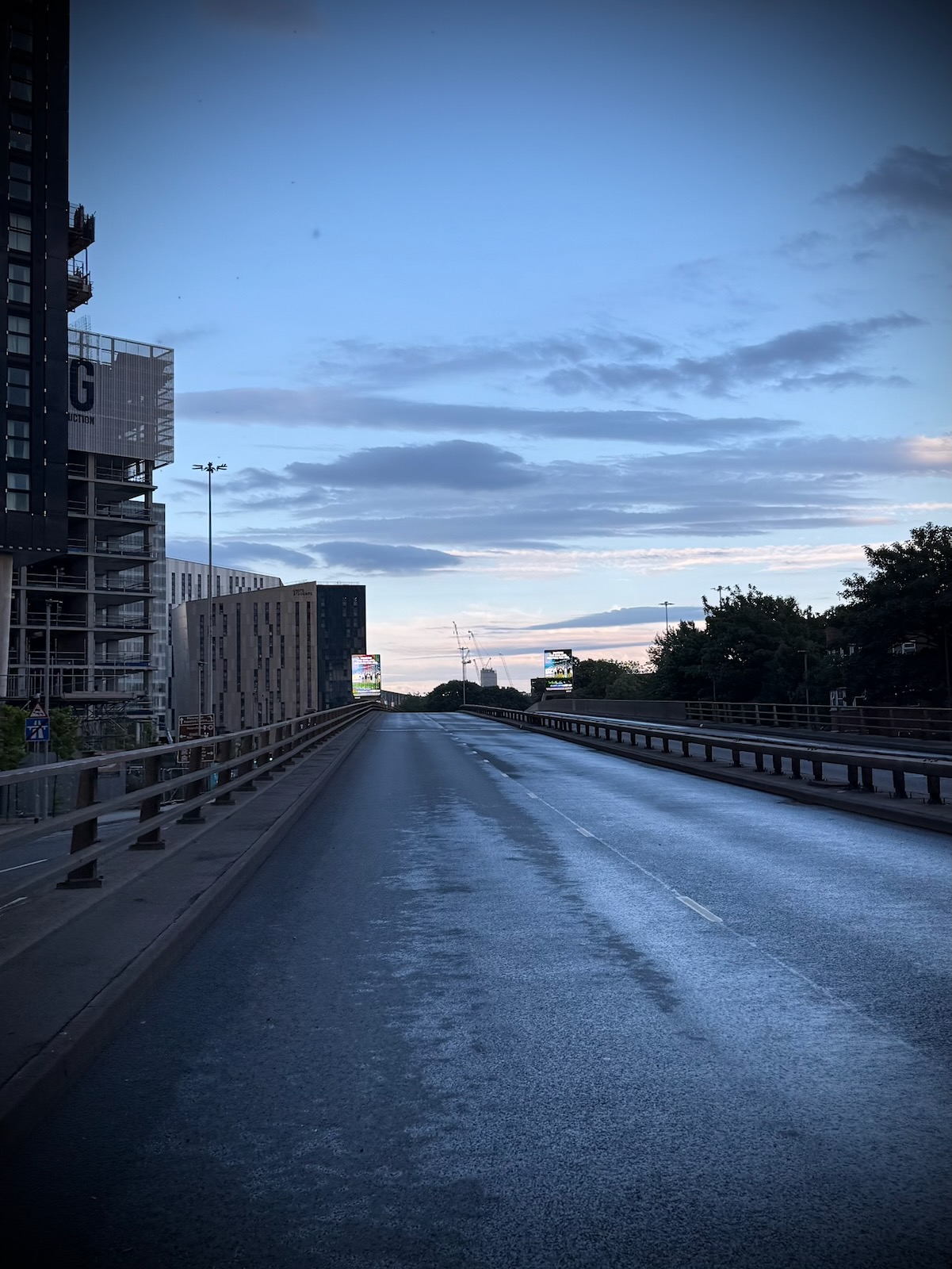
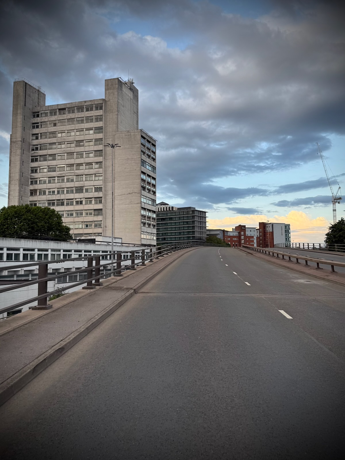
Riding through the underpass under the Deansgate Interchange was quite an unusual experience being down so low on the empty road. It certainly felt very different to driving through there.
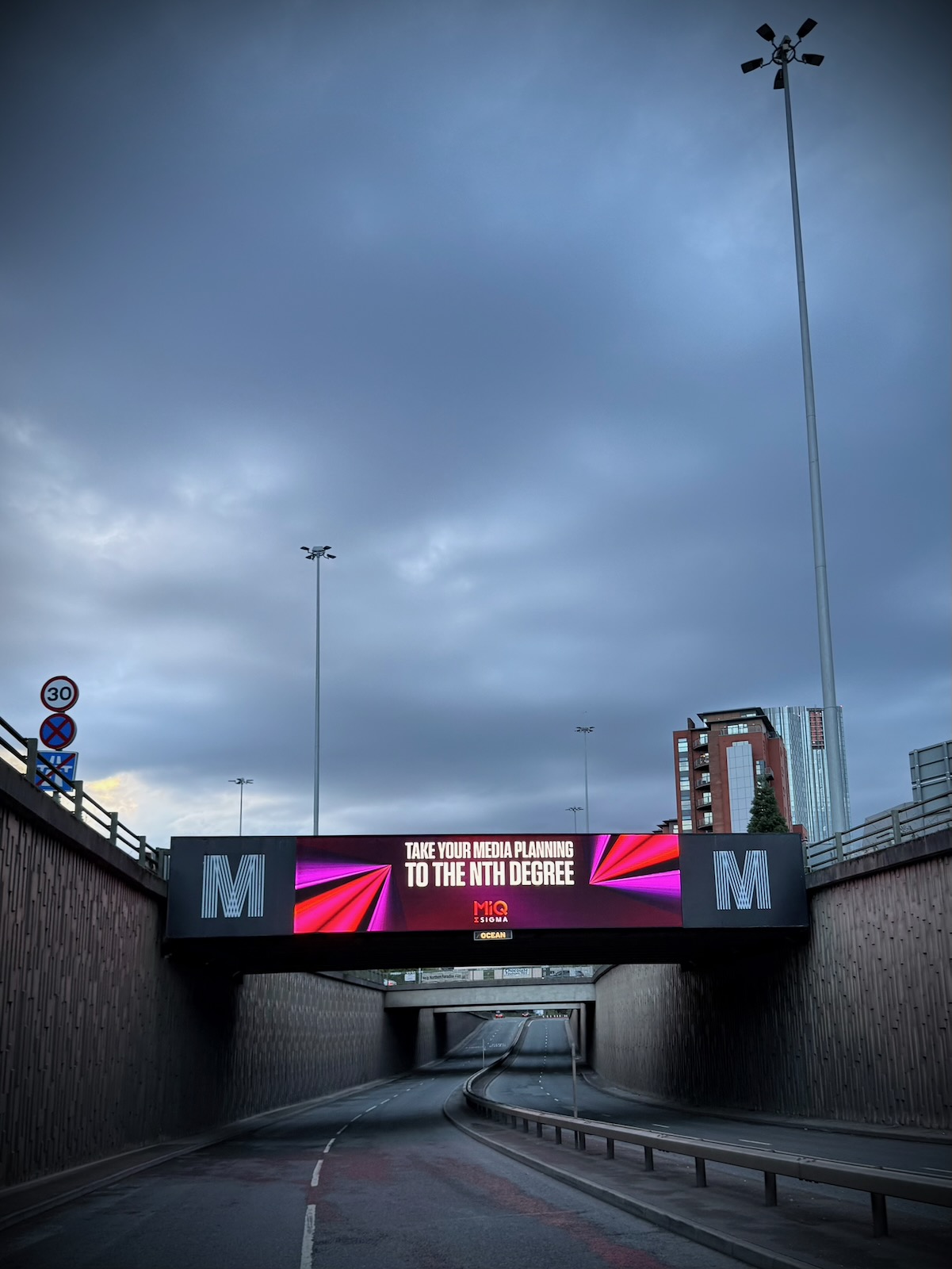
Rising up on the other side of the underpass, I came to the end of road closure, where traffic was able to join from the Deansgate Interchange and make its way along Egerton Road. At this point, I turned around and made my way back to where I started.
The future
The Mancunian Way will be celebrating 60 years in 2027 and it’s be fair to say it is showing its age. Speed limits have been reduced to 30 mph, due to safety concerns (though no one pays attention to them). With the road originally designed as a dual carriageway, in an era when safety standards were very different, many sections of the Mancunian Way feel incredibly dangerous.
This is particularly true around some of those entry and exit slip roads, which are too close together and often too short with challenging angles. In addition to this, the concrete of the viaduct sections is heading towards the end of its life, with regular safety inspections necessary.
So what is the future of the Mancunian Way, in a world where we now know that filling our cities with urban motorways isn’t the answer? At some point, it won’t be possible to just keep repairing what’s there.
So what happens then, does Manchester get its own version of Boston’s Big Dig, when it rerouted the central section of Interstate 93 to under the city, or Seattle’s State Route 99 tunnel that replaced the grim Alaskan Way Viaduct?
Both of these schemes cost huge sums of money, went significantly over budget and took way longer than expected. And neither have actually eliminated traffic from the surface, as both have at least four lanes of traffic above the tunnels.
I visited Boston back in 2013 and found what had replaced Interstate 93 to be pretty underwhelming. While there was green space, it felt very much like dead space in between four or more lanes of traffic. It was pretty uninspiring.
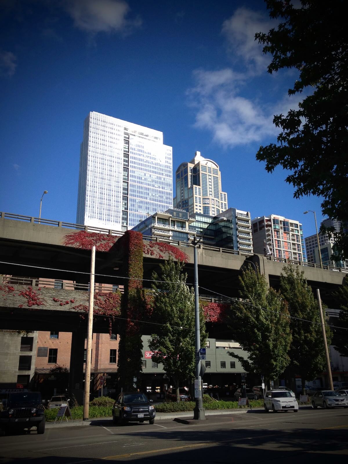
I also had opportunity to go to Seattle in the same year, before the tunnel was complete. I have to say the Alaskan Way Viaduct was truly one of the worst roads I’ve seen and absolutely destroyed that whole waterfront section of the city.
So what would I like to see happen then? Maybe the complete elimination of the Mancunian Way, without any tunnel being built. Or we could replace it with a canal like in Utrecht where they reinstated the original city moat? Or maybe we could keep it and turn it into a version of New York’s High Line or Paris’ Coulée verte René-Dumont, but with space for active travel? Now there’s a thought.
What do you think? Answers on a postcard.
Whatever happens in the future, it was great to ride along an empty Mancunian Way, while it was closed for its annual inspection. Fancy joining me, same time next year? Maybe we could do a special Critical Mass?
What I’d really like to see are the return of traffic-free city rides that include the Mancunian Way. Remember Sky Ride? Though every month, not just once a year. I can dream I guess…