

As I mentioned in Riding the F28 fast route to Utrecht, we ended up returning to Utrecht for the second time during our week in Amersfoort. This gave me opportunity to cycle along the F28 Fast Cycle Route again as well as try a longer route on the way back, taking in a little bit of Utrecht.
Riding to Utrecht
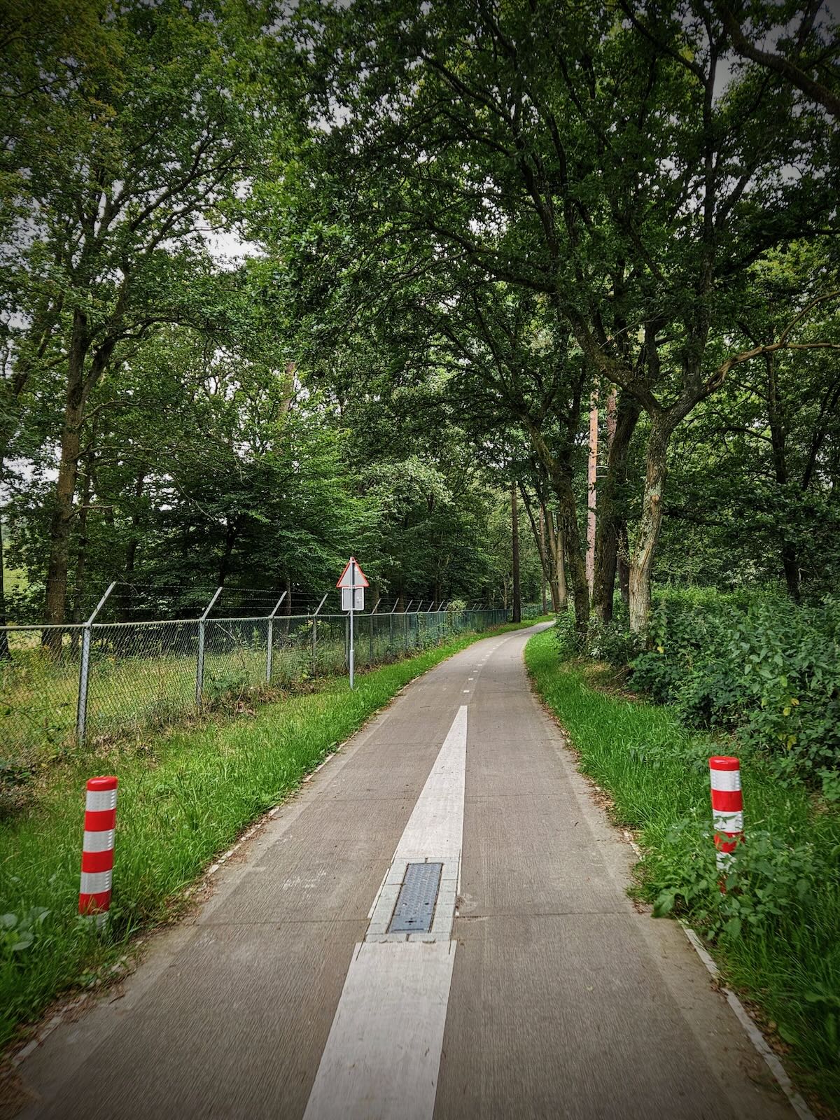
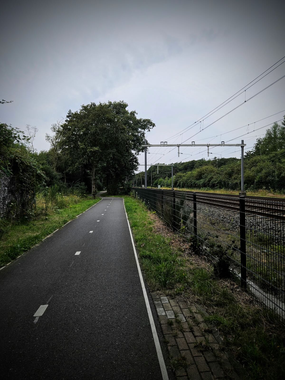
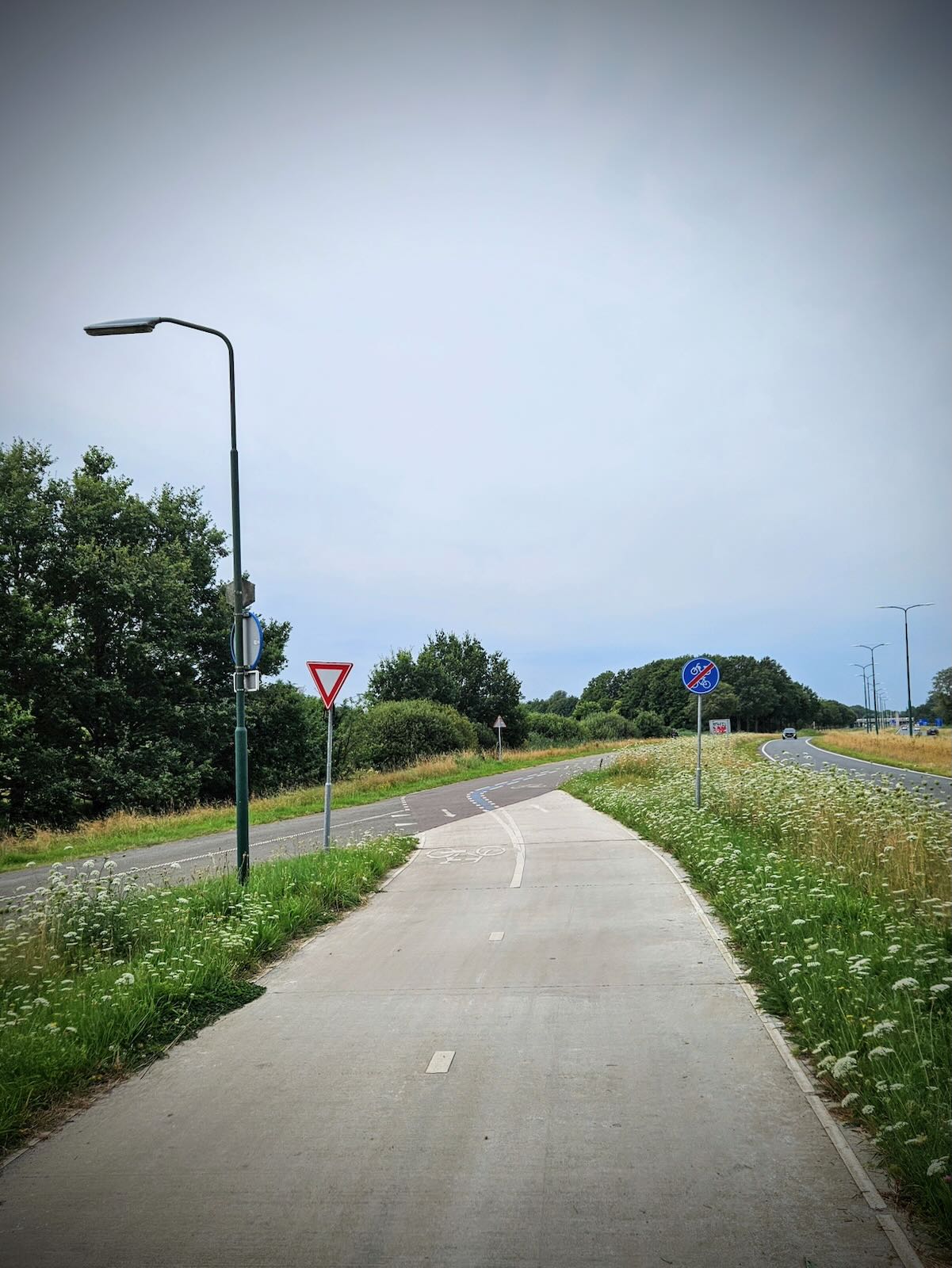
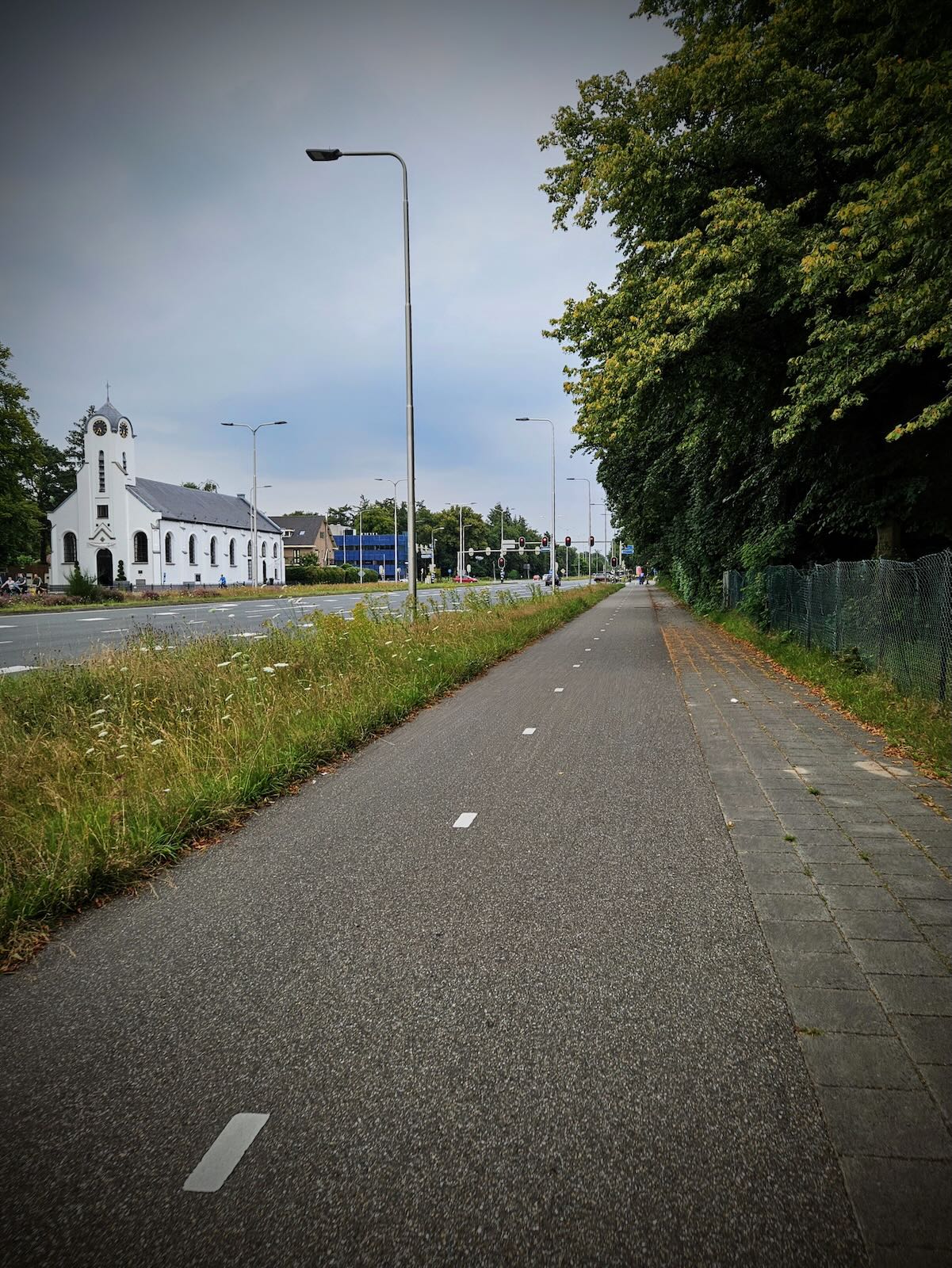
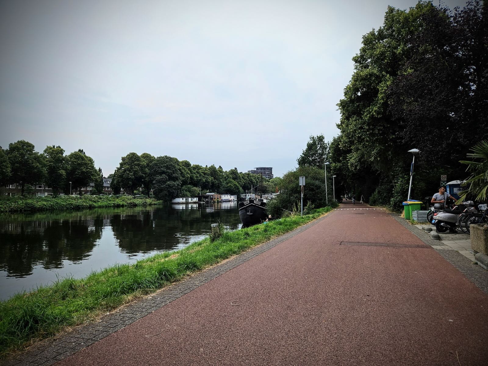
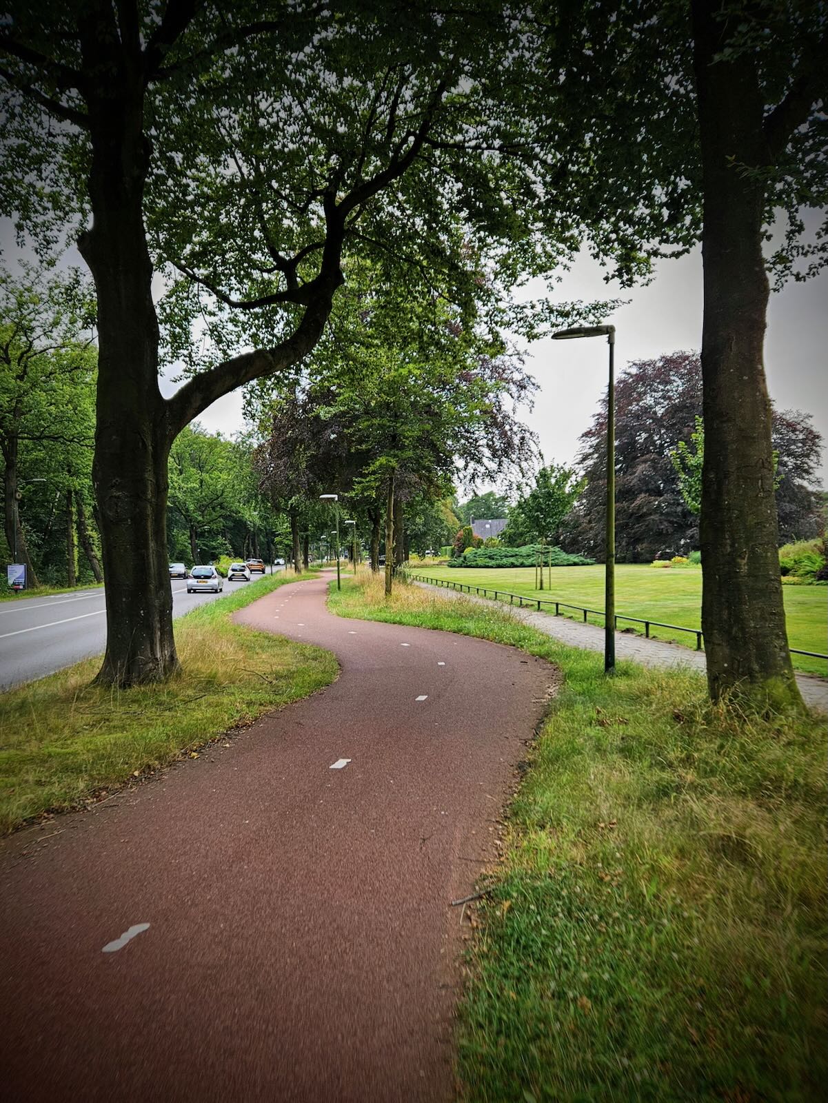
To get to Utrecht, I mostly followed the route I did two days earlier, along the fantastic F28 Fast Cycle Route. Instead of repeating this, I suggest reading more about the route here.

I took a slightly different route once I reached Utrecht, going north of the centre and past Griftpark, roughly following what is due to become the “Om de Noord” relief cycle route as covered recently in this excellent post from Bicycle Dutch. This is being built to take pressure off Vredenburg, the busiest cycleway in the Netherlands.

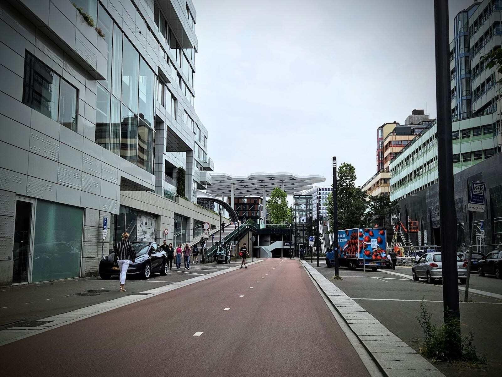
Making my way along Weerdsingel Westzijde and Daalsetunnel, I turned south and continued onto Kanonstraat and then to Jaarbeursplein. During our first trip to Utrecht in 2017, Jaarbeursplein looked very different to how it does today.
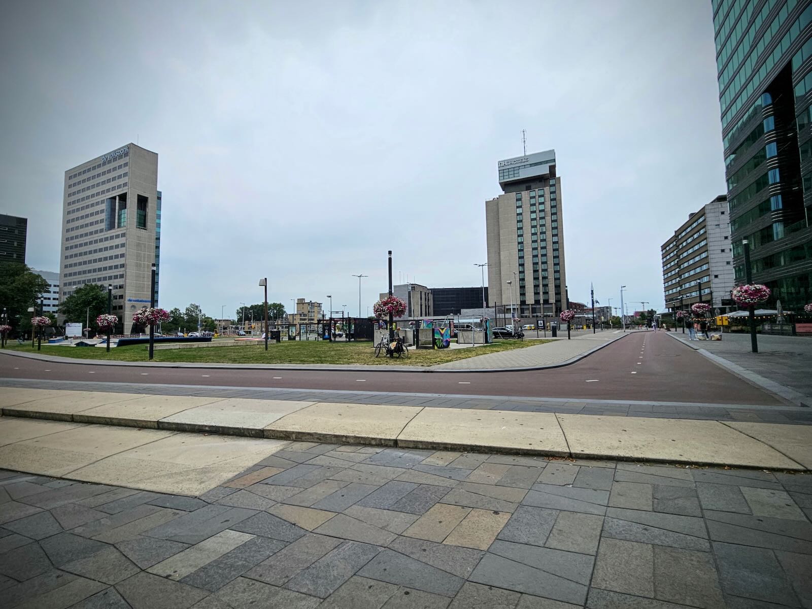
At that time, the area was a construction site, where a large underground car park was being built. Now complete, you would never know that car park was there, as it just looks like a large open public space, with a cycle path running round it.

The cycle path links up to the Jaarbeursplein underground cycle parking. This is separate to the more famous cycle parking under Utrecht Centraal station and significantly smaller. We did try to use this back in 2017, but were unable to, due to not having an OV-chipkaart. I really do wish they’d make the cards available to tourists!
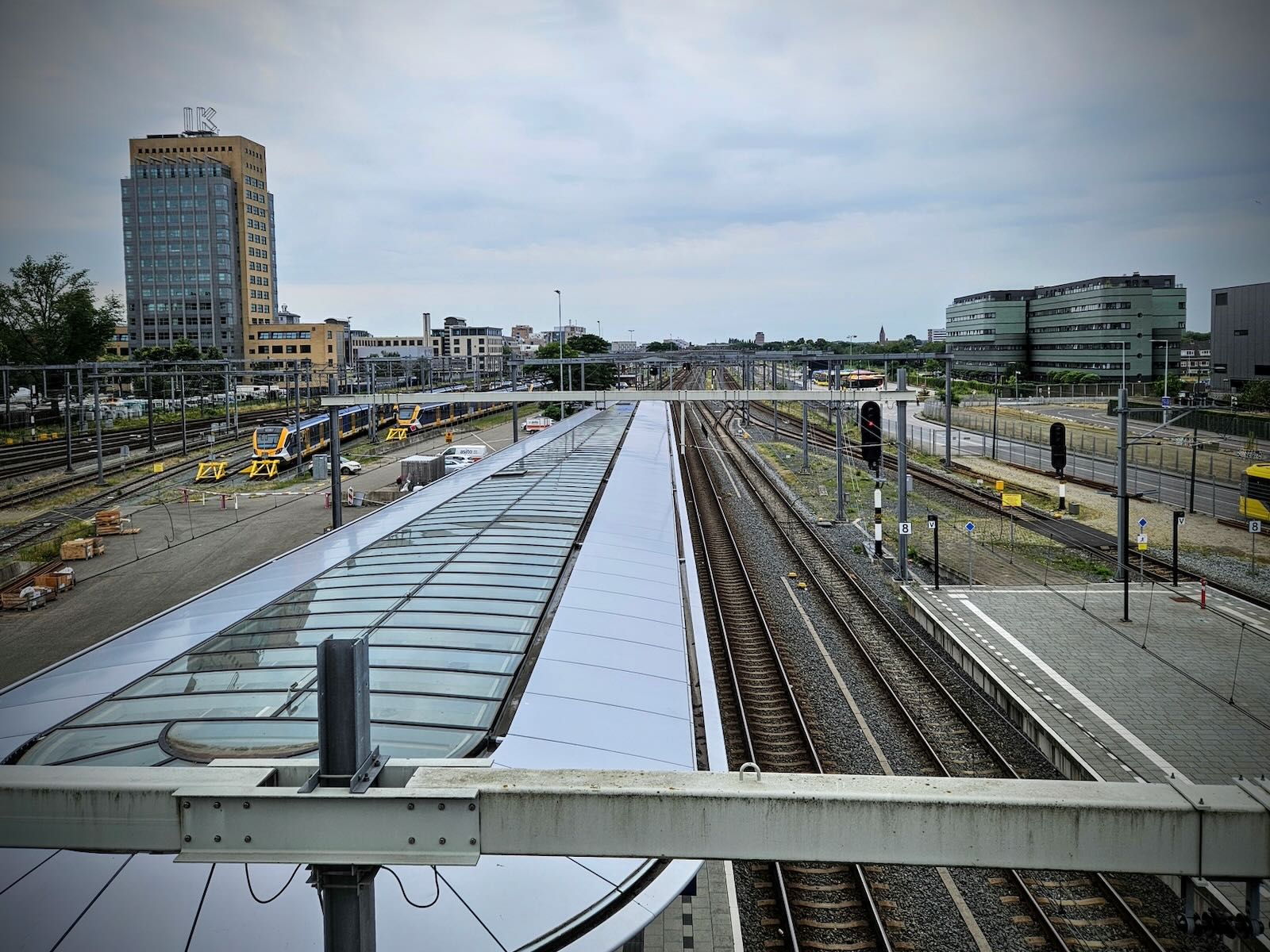
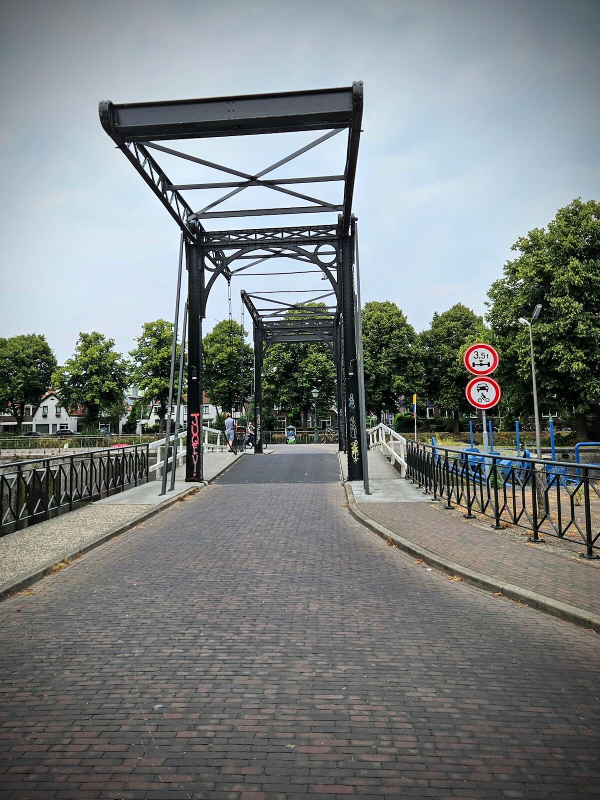
Like in 2017, I made my way across the Moreelsebrug bridge, the walking and cycling bridge that passes over the railway tracks leading to Utrecht Centraal station. This bridge provides a convenient way to get from the area around Croeselaan to the historic centre of Utrecht, avoiding a lengthy detour.
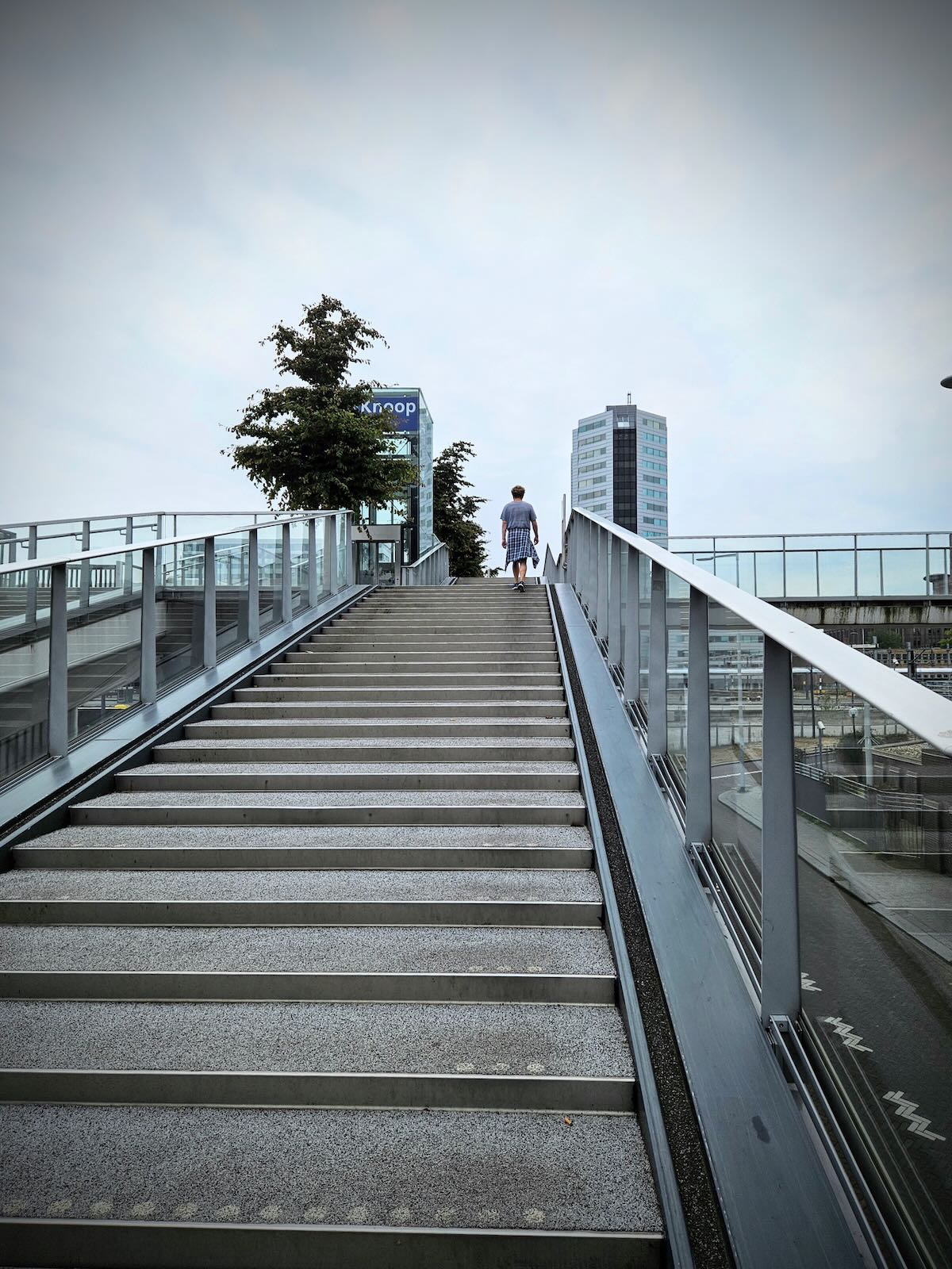
The space for the bridge is pretty tight, so there wasn’t space to include proper ramp access to the bridge. This means using the stairs, while pushing your bike along the channel on the side of the staircase, while lifts are provided for those unable to use the stairs.

The situation is obviously less than ideal, but they’ve made the best with the limited options available. You can read more about the development of the bridge in this excellent post from Bicycle Dutch.
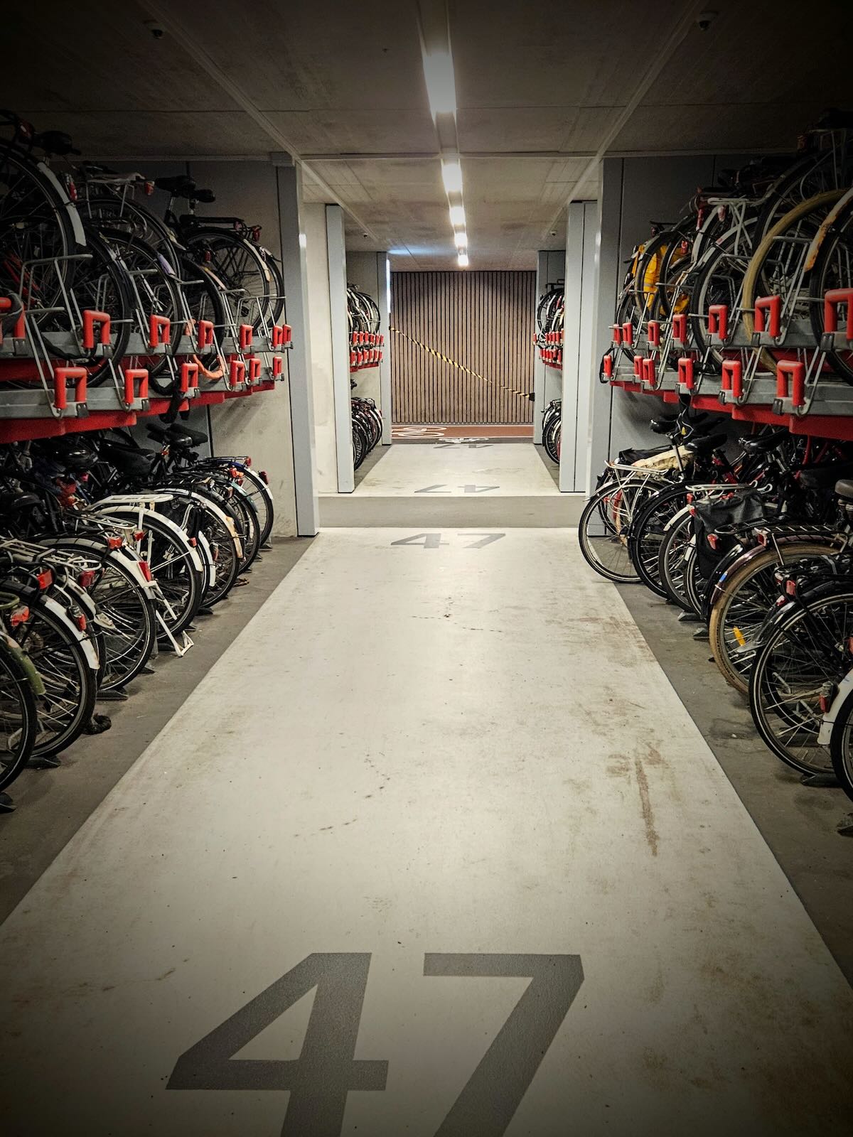
Once across the bridge, I made my way into the fantastic cycle parking under Utrecht Centraal station, where I parked on my previous visit, then set off to find the others.


In Utrecht
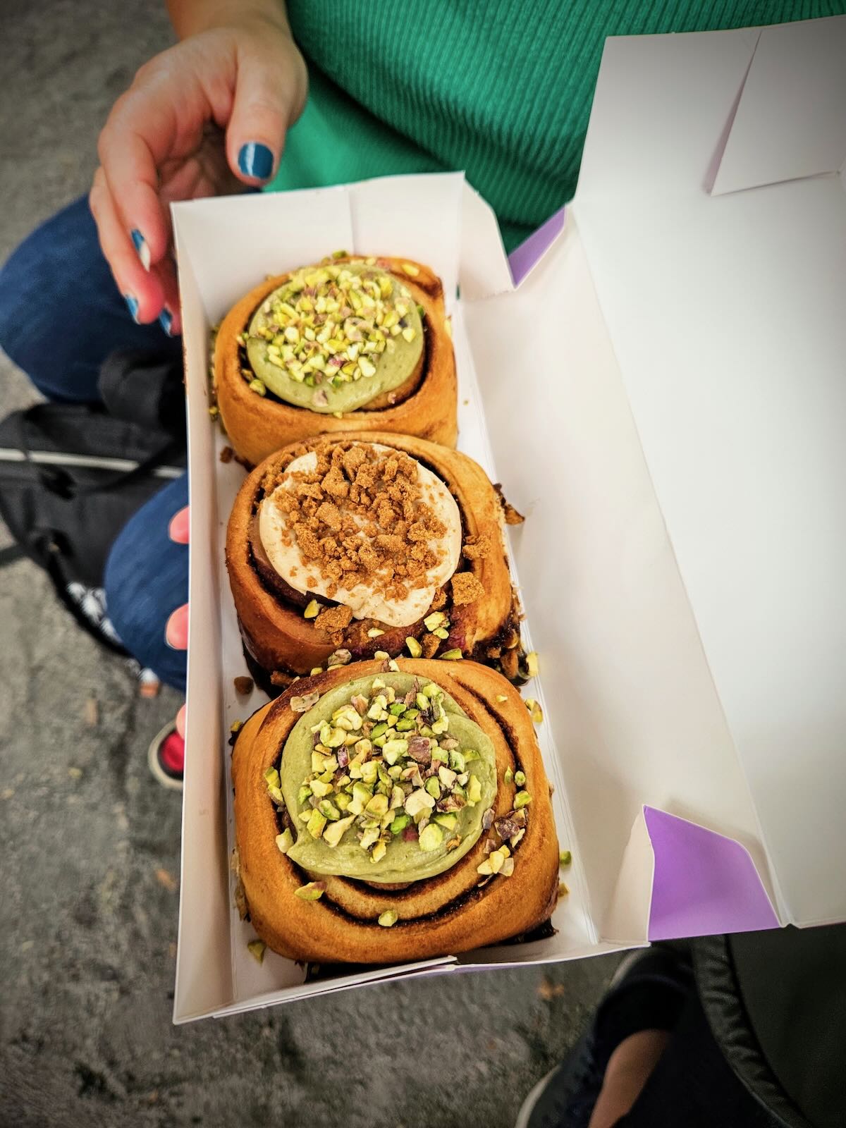
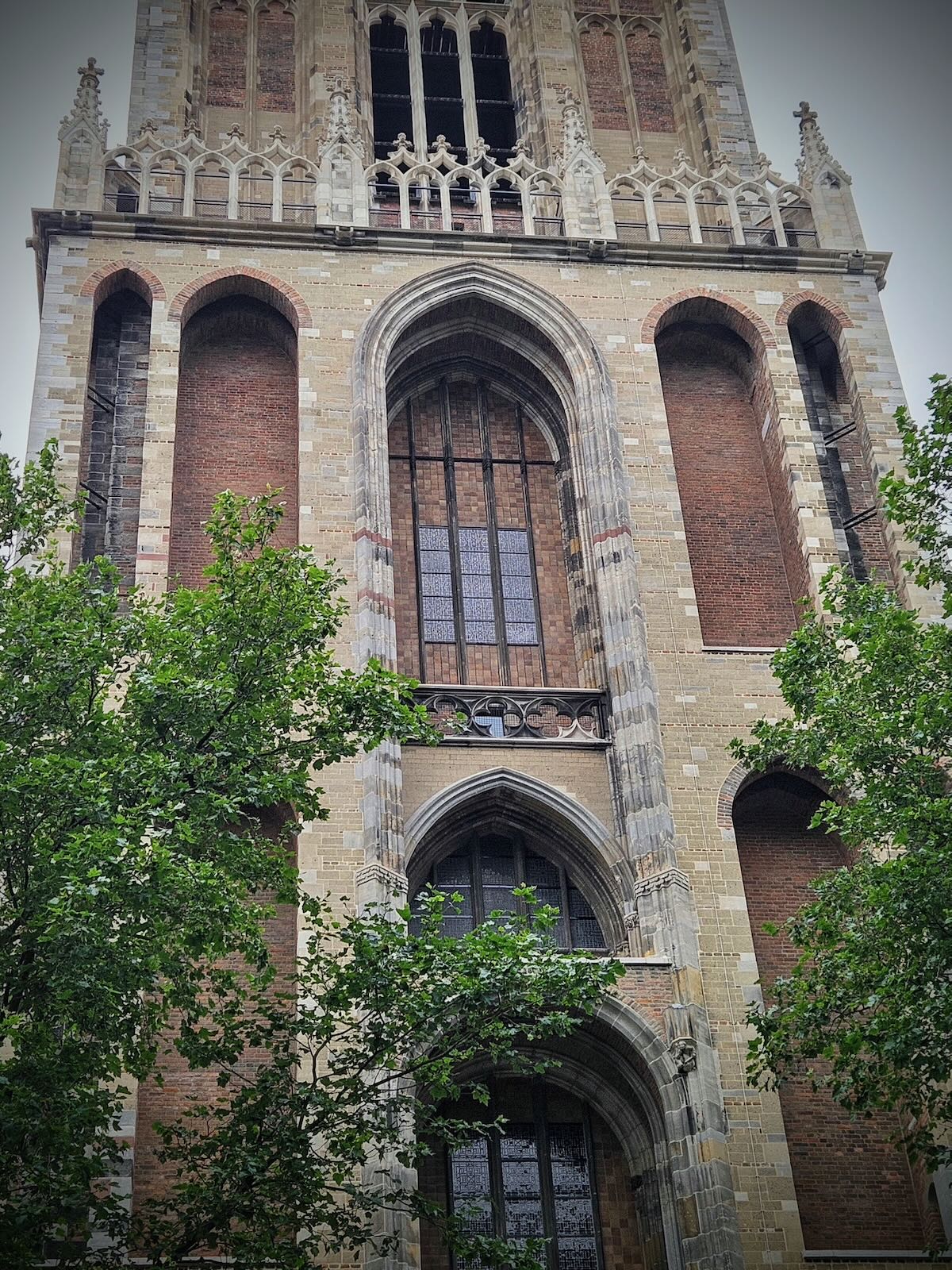
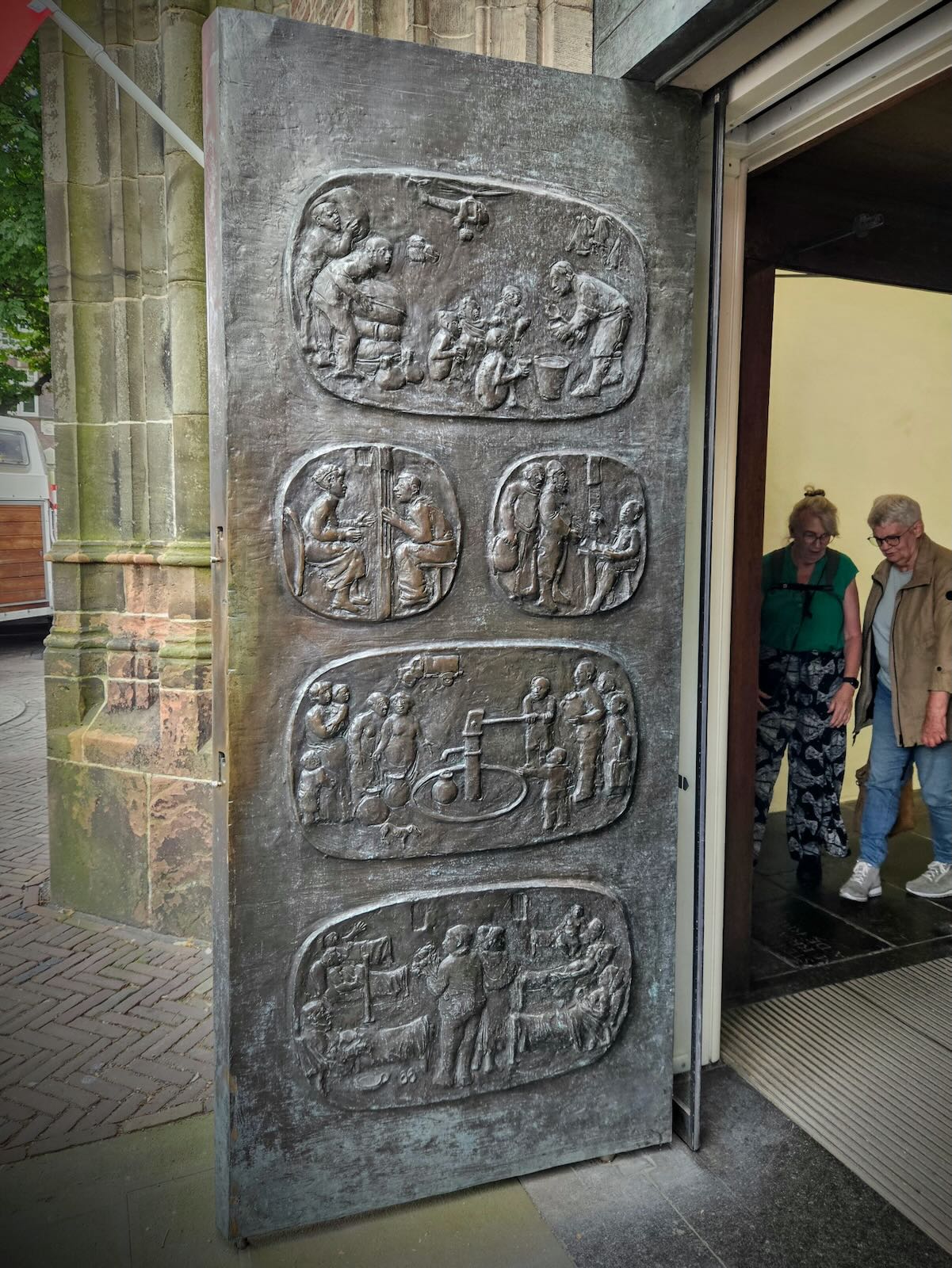
After meeting with the others and picking up some very nice buns, we made our way to the Dom Tower, which was commemorating the 350 anniversary to the day (1st August 1674) since the storm hit that destroyed the church it was once connected to.
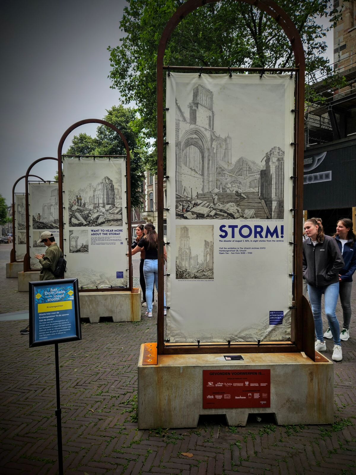
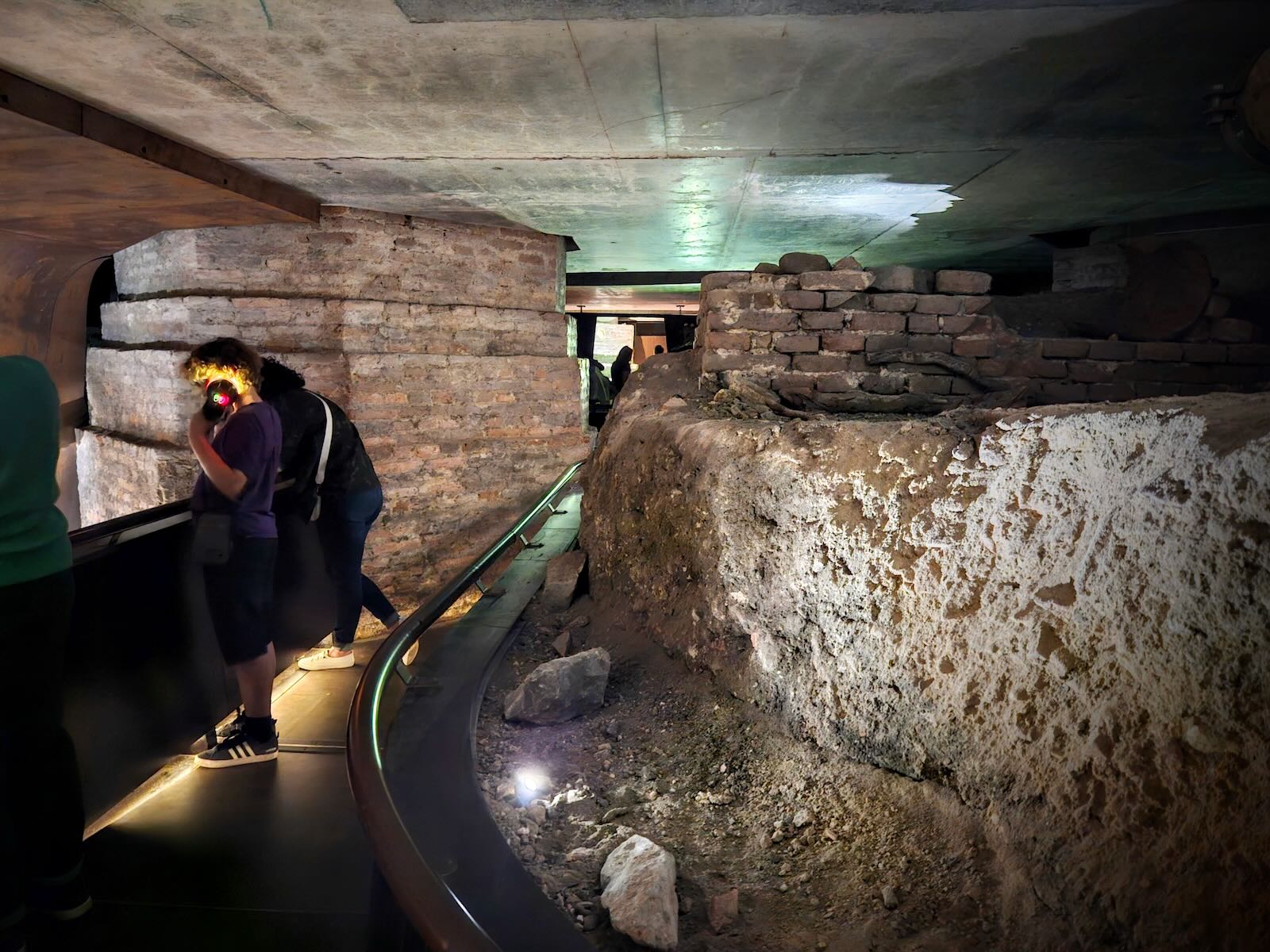
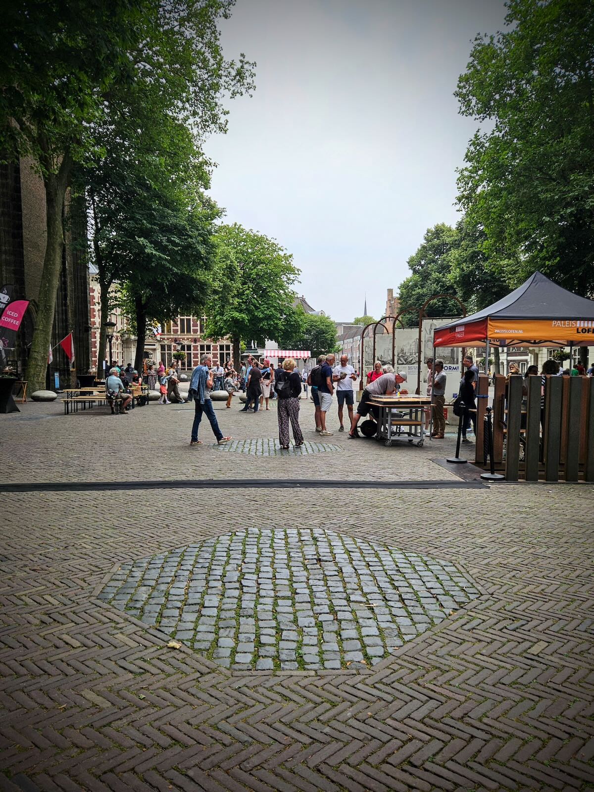
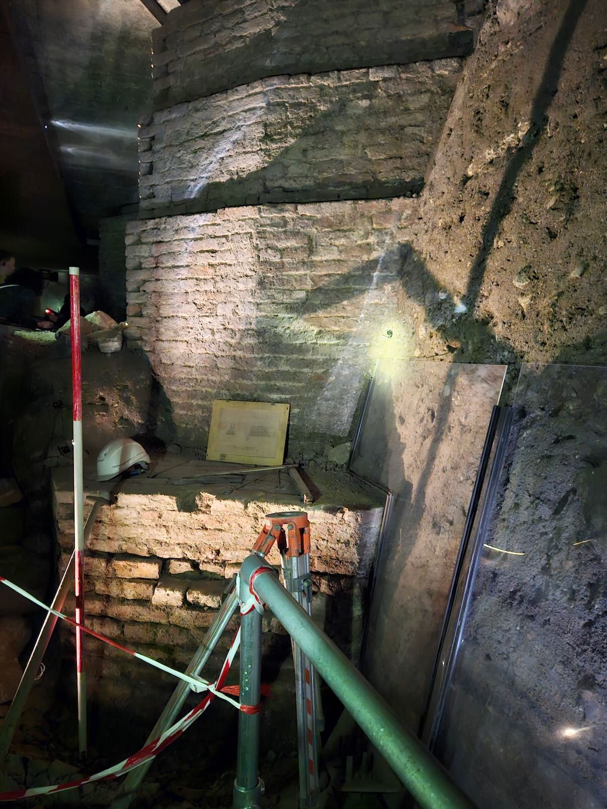
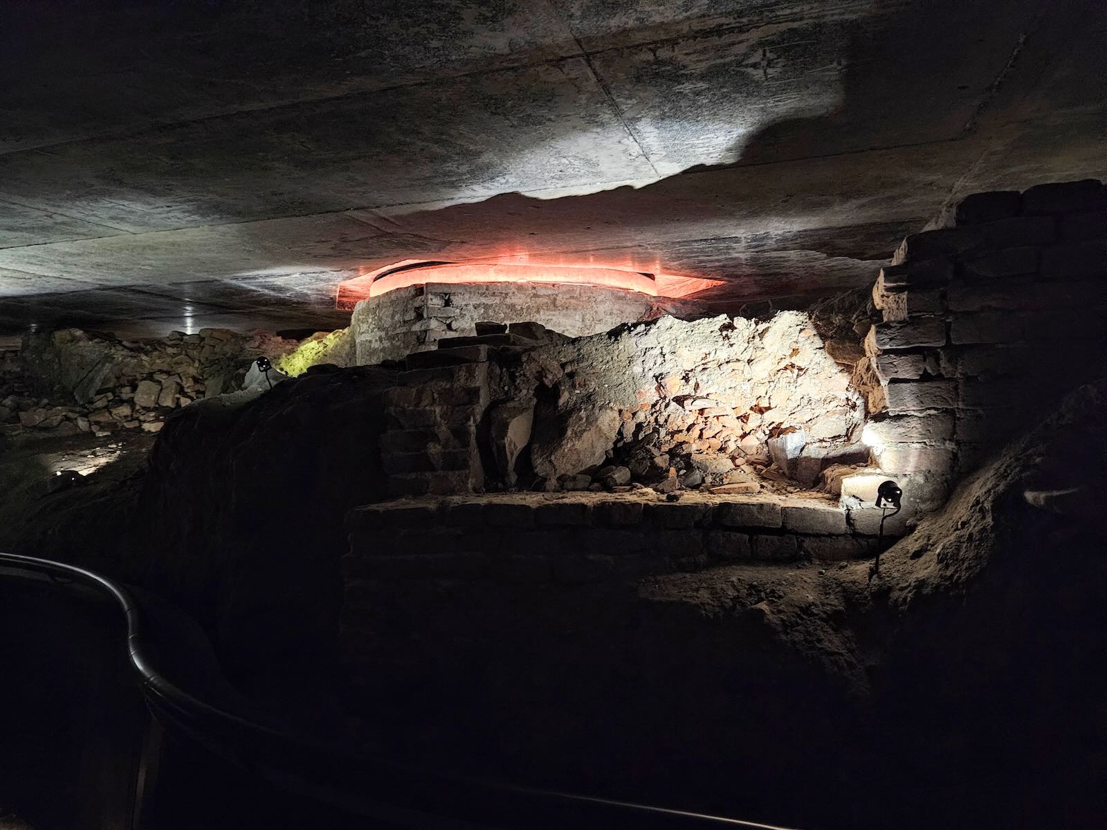
As part of the commemorations, there were activities, guides and information boards in Domplein, at the location of the former nave of St. Martin’s Cathedral, also known as Dom Church. Coincidentally, we’d already talked about visiting DOMunder, the archaeological site located under Domplein. So there really wouldn’t be a better day to take the tour.

Originally excavated by Albert van Giffen in the 1930s, then covered up. The archaeological site at Domplein was excavated in the 2010s, with a permanent roof being placed above the site, which forms the floor of the square, with steps in the square taking you down.

We joined the guided tour, which took us around the archaeological site, which could be used to highlight the various features in the site and find out more about them. With remains dating back to Roman times, there’s a long history to this part of Utrecht and plenty to see.
What’s particularly striking are the remains of the huge foundations of the church. While the church was destroyed in the storm, the foundations have remained intact and largely unchanged.
It’s possible to see the location of the foundations from above ground in Domplein, as they’ve been highlighted with stones rather than the brick pattern in the square.
We enjoyed finding out about the rich history of Domplein, what lies underneath in the archaeological site and the events of the 1st August 1674. We’ve yet to go up the Dom Tower, maybe one for the next time we’re in Utrecht.
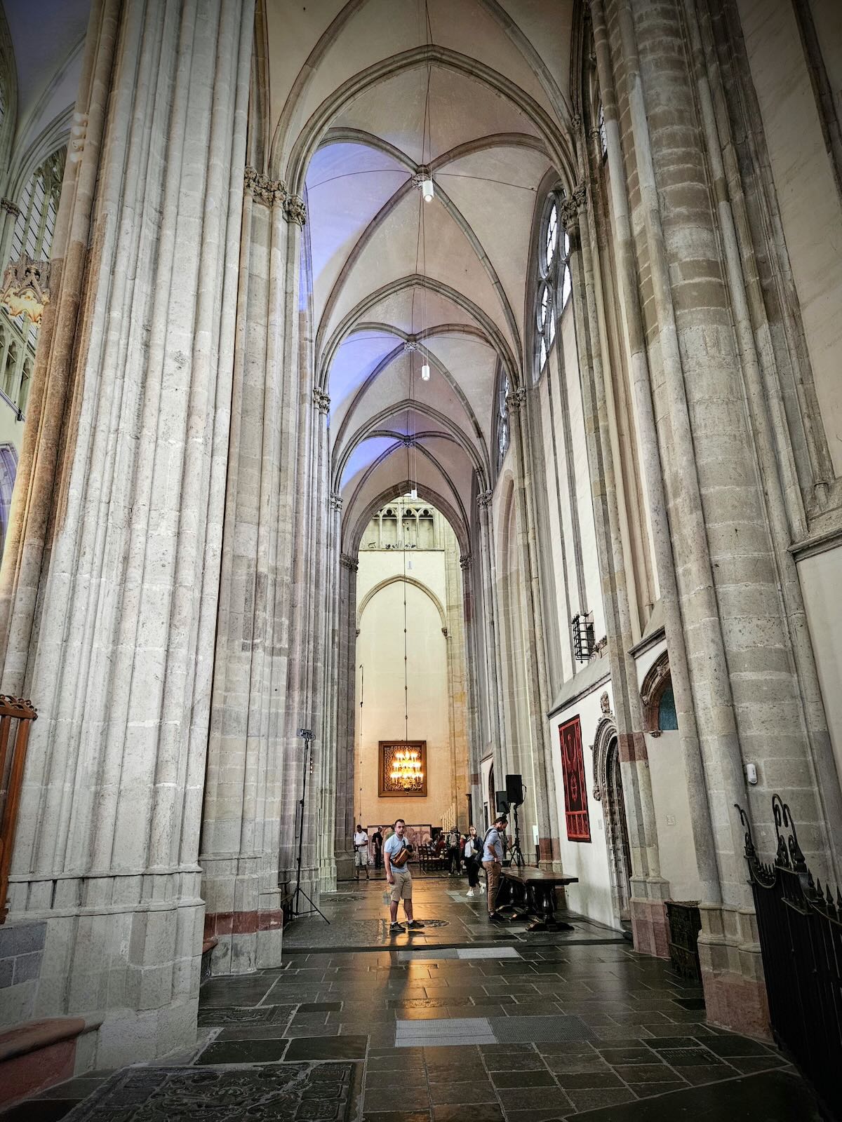
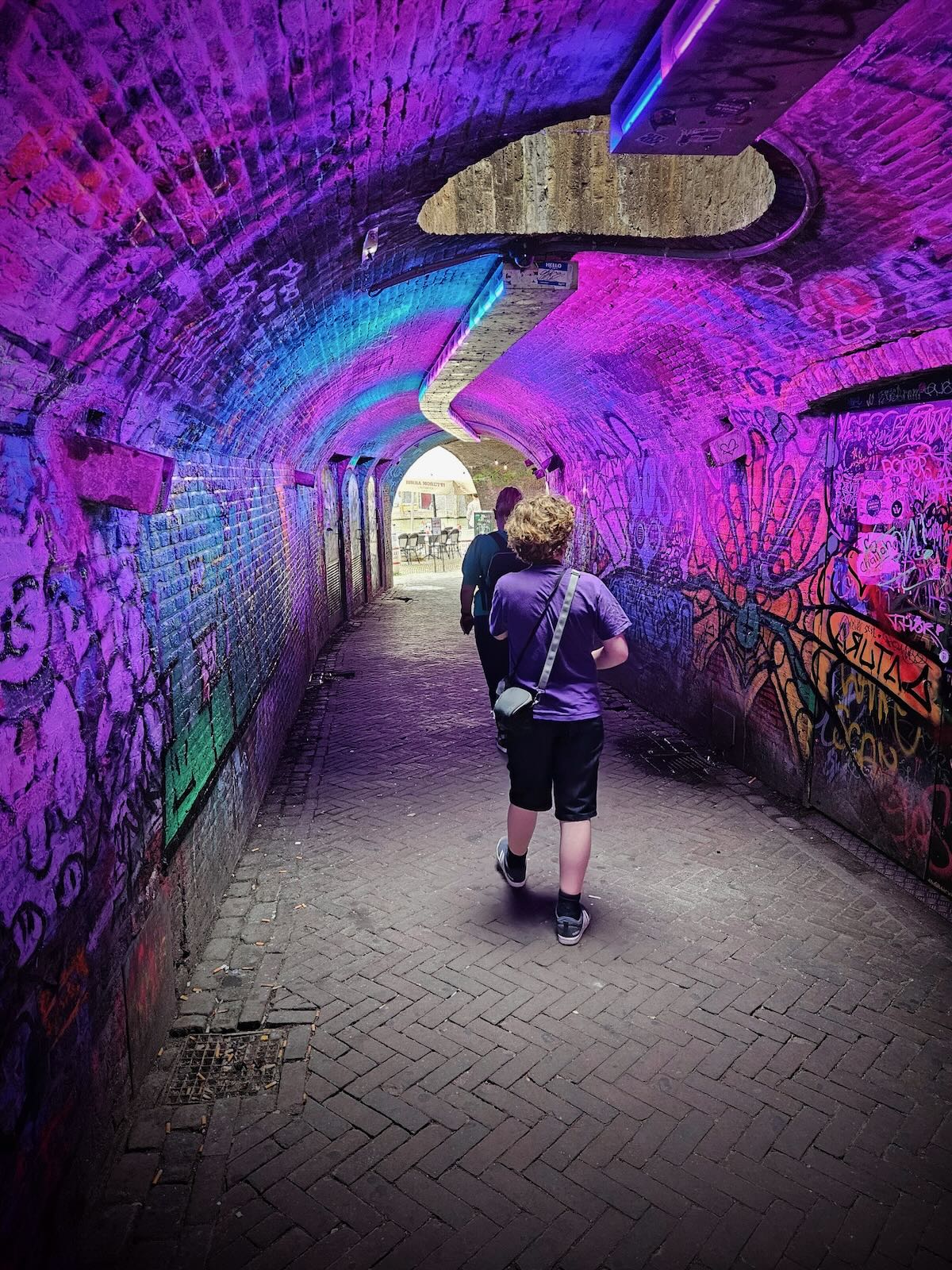
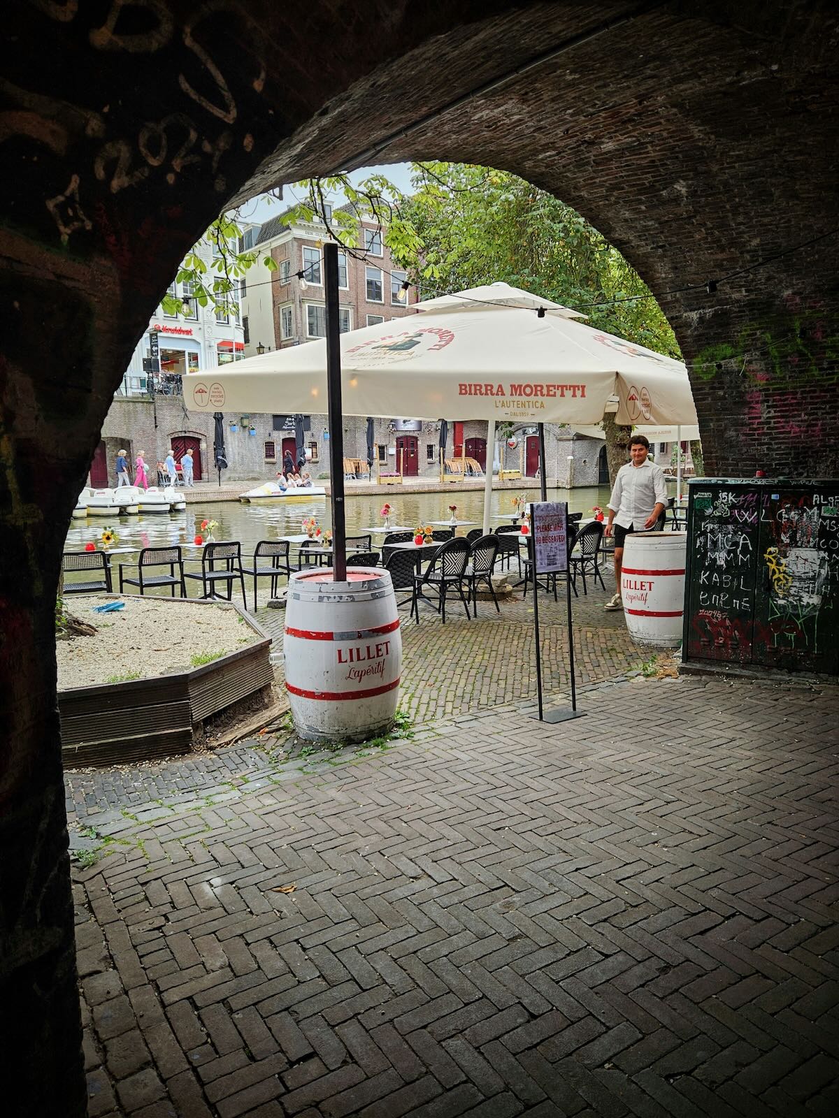
After the tour, we went for a look inside the remaining choir section of St. Martin’s Cathedral, then went off to explore further along the Oudegracht canal, taking in the Ganzenmarkt (Goose Market) Tunnel.

After a further wander and a not particularly interesting lunch, it was time to head back to Amersfoort.


Riding back
Having ridden the F28 Fast Cycle Route three times already, I fancied doing a bit of a different route on the way back to Amersfoort, taking in some places I’d not been before. I also thought I’d start with a short ride through Utrecht to take in some places I’d been before on previous visits.
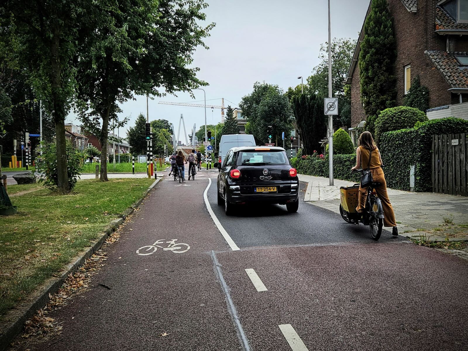
After leaving the cycle parking, I made my way along the Catharijnesingel canal, before heading west under the railway lines and onto Vleutenseweg. This meant navigating some fairly busy cycle paths and junctions on the way.

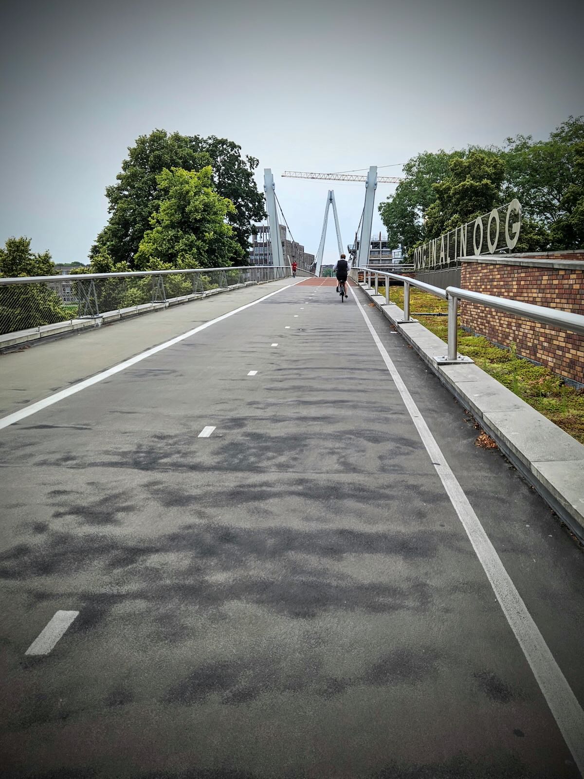
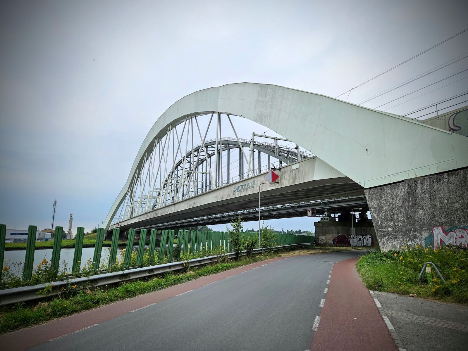
Crossing the locks of the Merwede Canal, I made my way to the Dafne Schippersbrug (Dafne Schippers Bridge), the walking and cycling bridge that’s famous for having a ramp that sits on top of a school. This is somewhere we’d been to before, back in 2019 when we returned to Utrecht for a day trip.

With great views along the Amsterdam-Rhine Canal, plus the fantastically unique design of the ramp on top of the school, it’s a must-see if you’re in the area, and definitely worth a return visit if you’re nearby, as I was.

Double backing on myself along the bridge, I then followed the route along the Amsterdam-Rhine Canal, along another good cycle route, taking in the massive bridges that span the wide canal.

Along the way I passed SOIA, the beach bar in Utrecht, located on the Amsterdam-Rhine Canal. This is somewhere we visited on our first trip to Utrecht in 2017, on a sunny first day in the city.
This is the kind of thing the Netherlands does really well, creating unique places to gather, where you wouldn’t necessarily expect them. See also NDSM in Amsterdam Noord, Hembrug in Zaandam and the beach at Harderwijk.
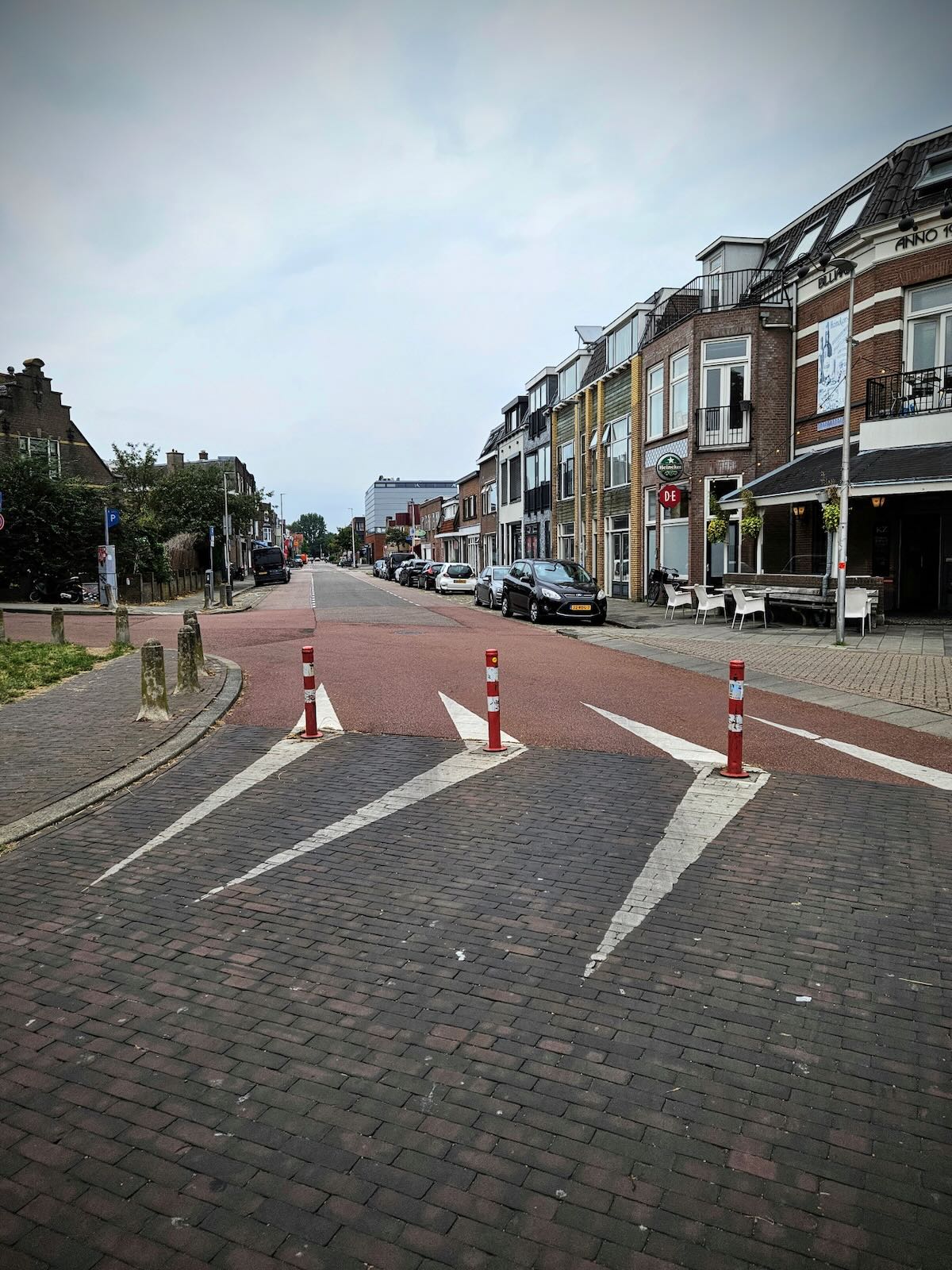
I then headed for Amsterdamsestraatweg, which was the location of our Airbnb apartment in 2017. As this was a location we were very familiar with, I was interested to see how the reconstruction of the street was going, which as of 2024, was very much in progress.

From a cycling perspective, Amsterdamsestraatweg was reasonably good. Though it wasn’t the most attractive of streets, the cycle paths could be wider and car parking could be reduced. So there’s definitely room for improvement.
Plans included replacing the sewerage system, reducing speeds and improving safety, increasing the space for walking, cycling and cycle parking, while reducing car parking and creating more green space. I’d say it’s more of an evolutionary refinement, rather than a radical change.

Further details (in Dutch) can be found on the municipality website for Utrecht. While updates on progress (also in Dutch) can be found on the project page. From what I can understand though, the work is now complete.
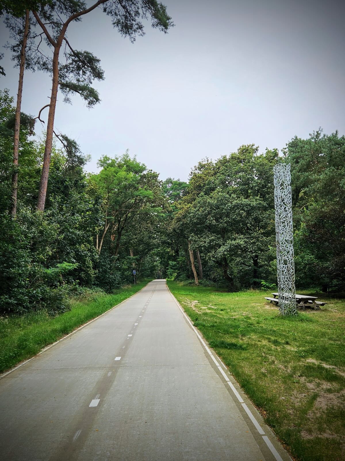
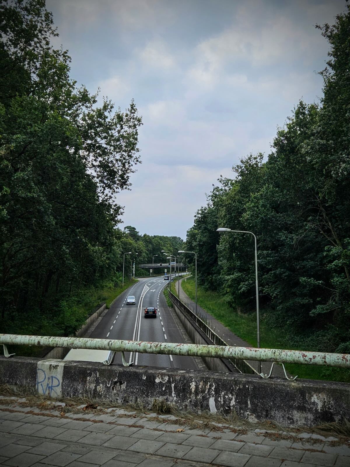
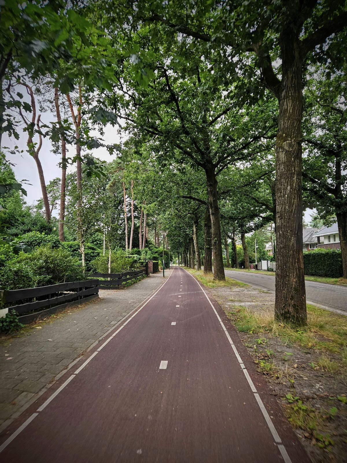
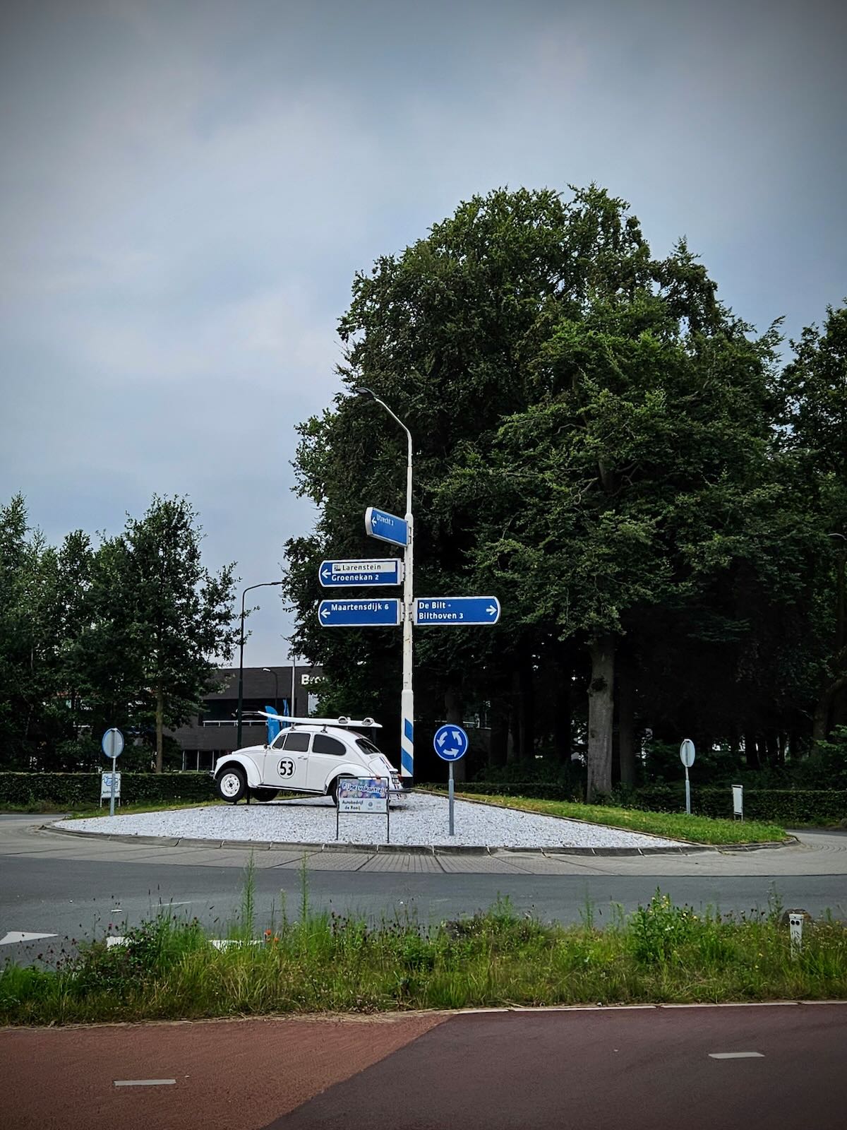
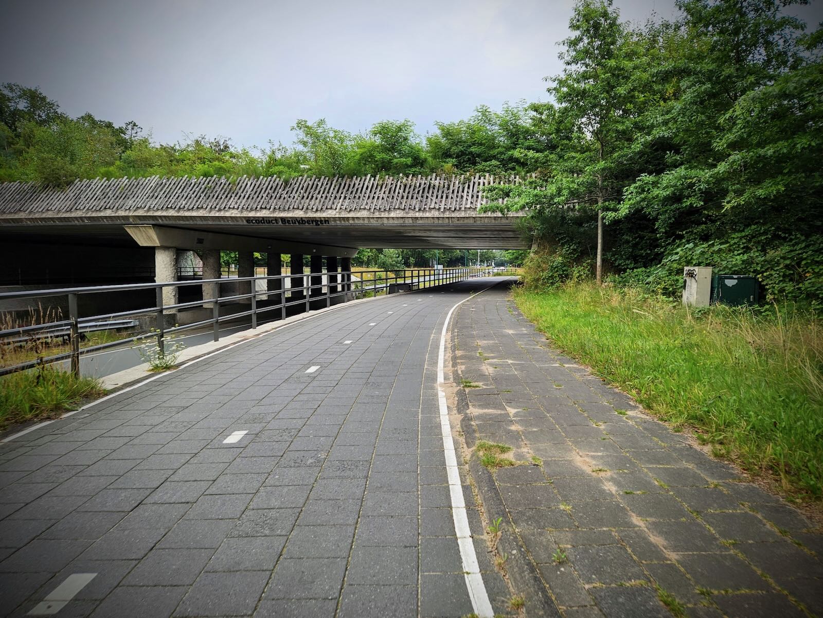
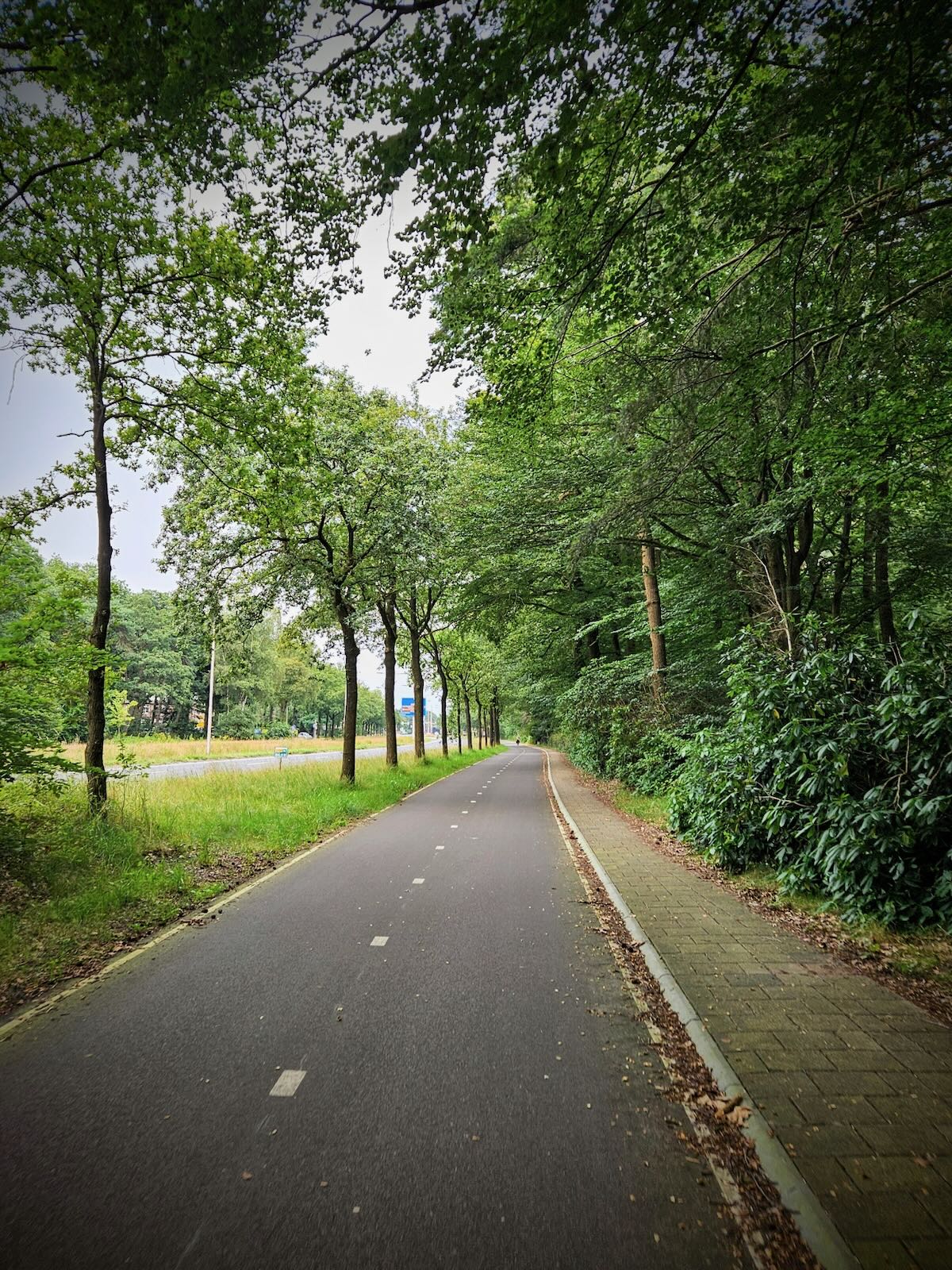
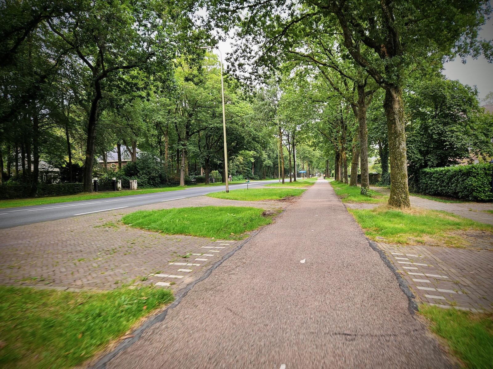
I now made my way along the “Om de Noord” relief cycle route again, though in the other direction and set off towards Amersfoort. Riding through De Bilt, I took a route that largely follows the N237 along Amersfoortseweg and Utrechtseweg, which links the two cities.
While not as scenic and peaceful as the F28 Fast Cycle Route, this was actually much more pleasant than it sounds, as traffic levels weren’t particularly high and the cycle path was generally a good distance from the main carriageway.
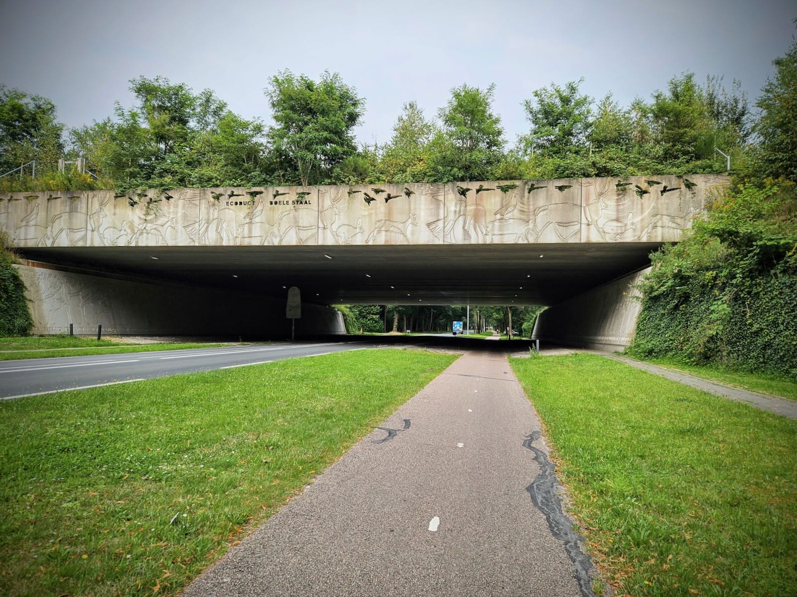
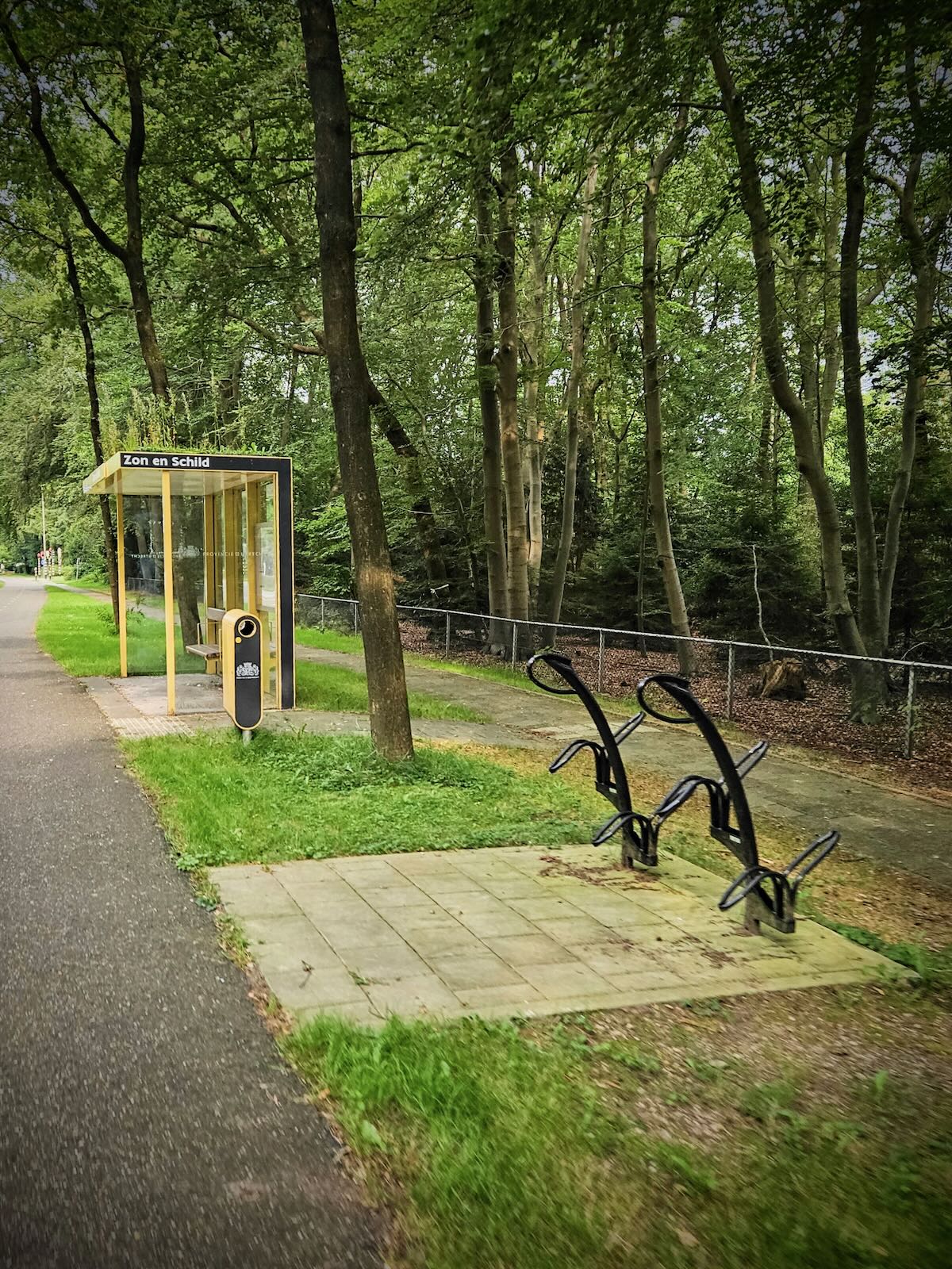
Along the way, there were some interesting points of interest, including multiple ecoducts (otherwise known as wildlife overpasses or green bridges), some decent bits of cycling infrastructure and an interesting old water tower, Watertoren Amersfoort.
But to top it off (quite literally), I got to ride up the Col du Strop, all 4,000 cm of it! This rather tongue in cheek sign denotes the highest point in Amersfoort, some 40 above Normaal Amsterdams Peil (NAP). No, I’d never heard of NAP before either!
From there, it was a very gradual downhill into Amersfoort, along Utrechtseweg, before arriving at the level crossing on Kersenbaan. From there, it was a short ride back to our Airbnb home to meet the others.


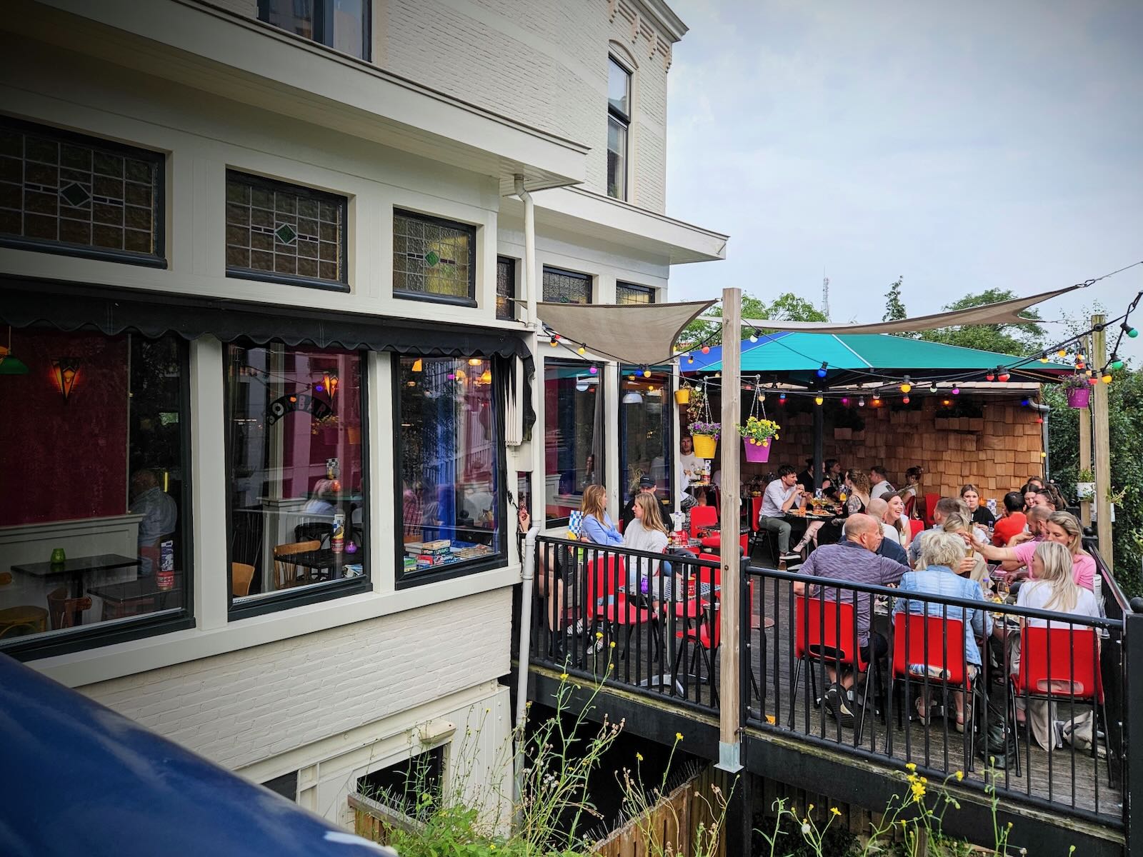
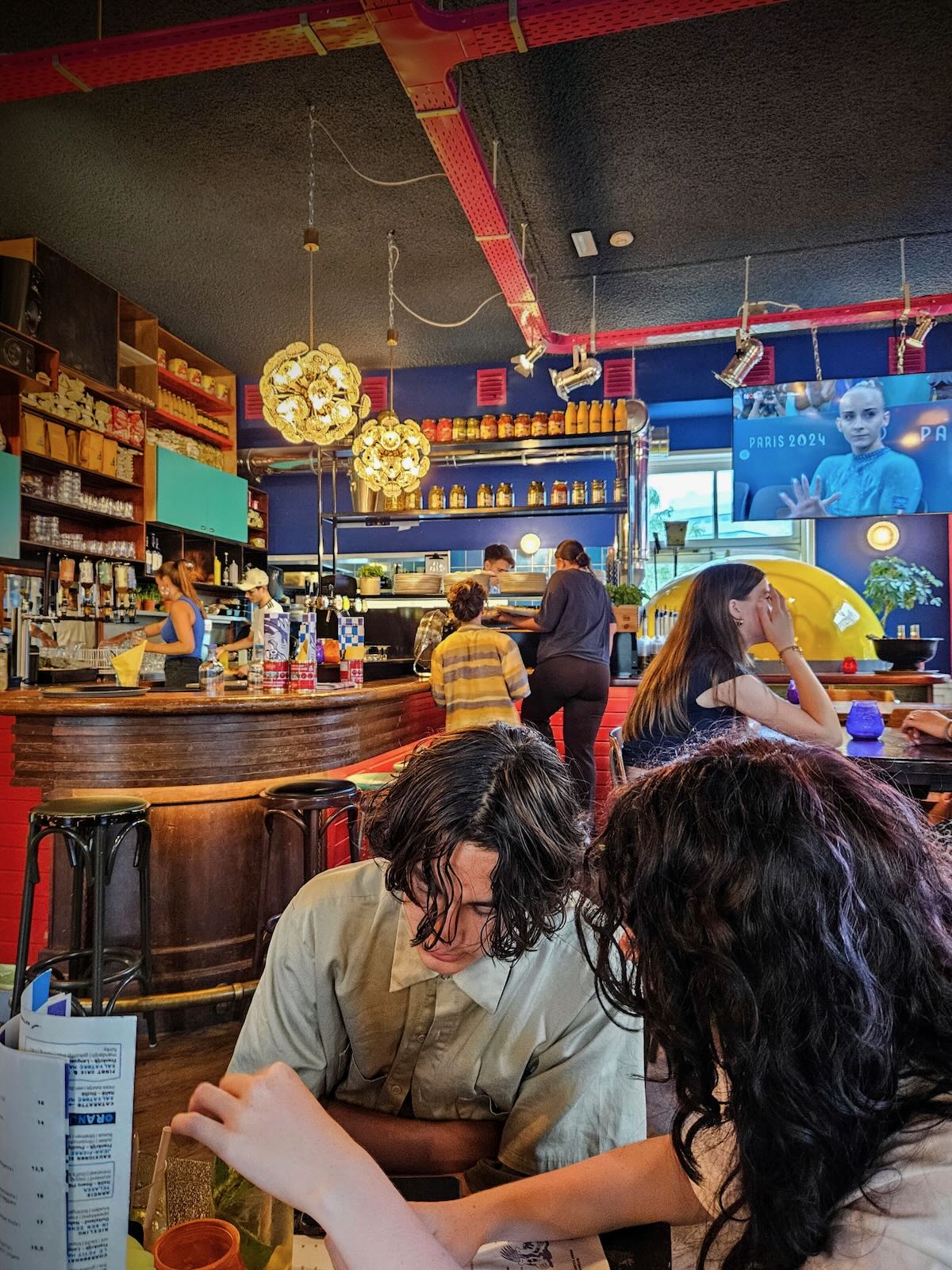
Out for pizza
After arriving back at our Airbnb home, I got the others and headed out to Bombari pizza bar, which overlooks Kersenbaan where I passed earlier. We then spent the evening enjoying some really good pizza in quite a unique setting, which was just perfect after a day of riding and wandering.


More Netherlands 24 posts
Further posts from our trip to the Netherlands in 2024
- Cycling in Amersfoort
- Riding the F28 fast route to Utrecht
- Bosbad Amersfoort, an outdoor swimming pool in the forest
- In Utrecht again, visiting DOMunder and back via the Dafne Schippers Bridge
- A wander along the Eem to Koppelpoort and a visit to the Mondriaanhuis
- Riding to the Nationaal Militair Museum
- Back at Duinrell
- Riding around Wassenaar
- Riding from Duinrell to Leiden
- Riding to the Burgemeester Waaijerbrug bridge
- Riding to Den Haag and Scheveningen via Madurodam
- Loop ride from Duinrell to Katwijk
- Loop ride from Duinrell to Voorburg via Huis ten Bosch
