

With some time to spare for a ride, I decided to head out to somewhere I’d been before, the Burgemeester Waaijerbrug bridge. This distinctive structure is somewhere I’d ridden to back in 2018, as part of a ride to Zoetermeer, after reading all about it on Bicycle Dutch.
Opening in 2013, by the former mayor Jan Waaijer, who the bridge is named after. It provides a connection from the Zoetermeer Westerpark to the new nature reserve and recreation area of De Nieuwe Driemanspolder.
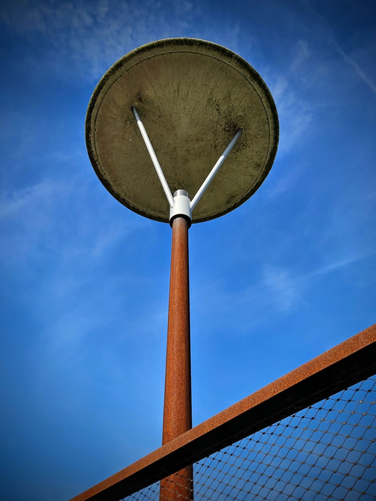
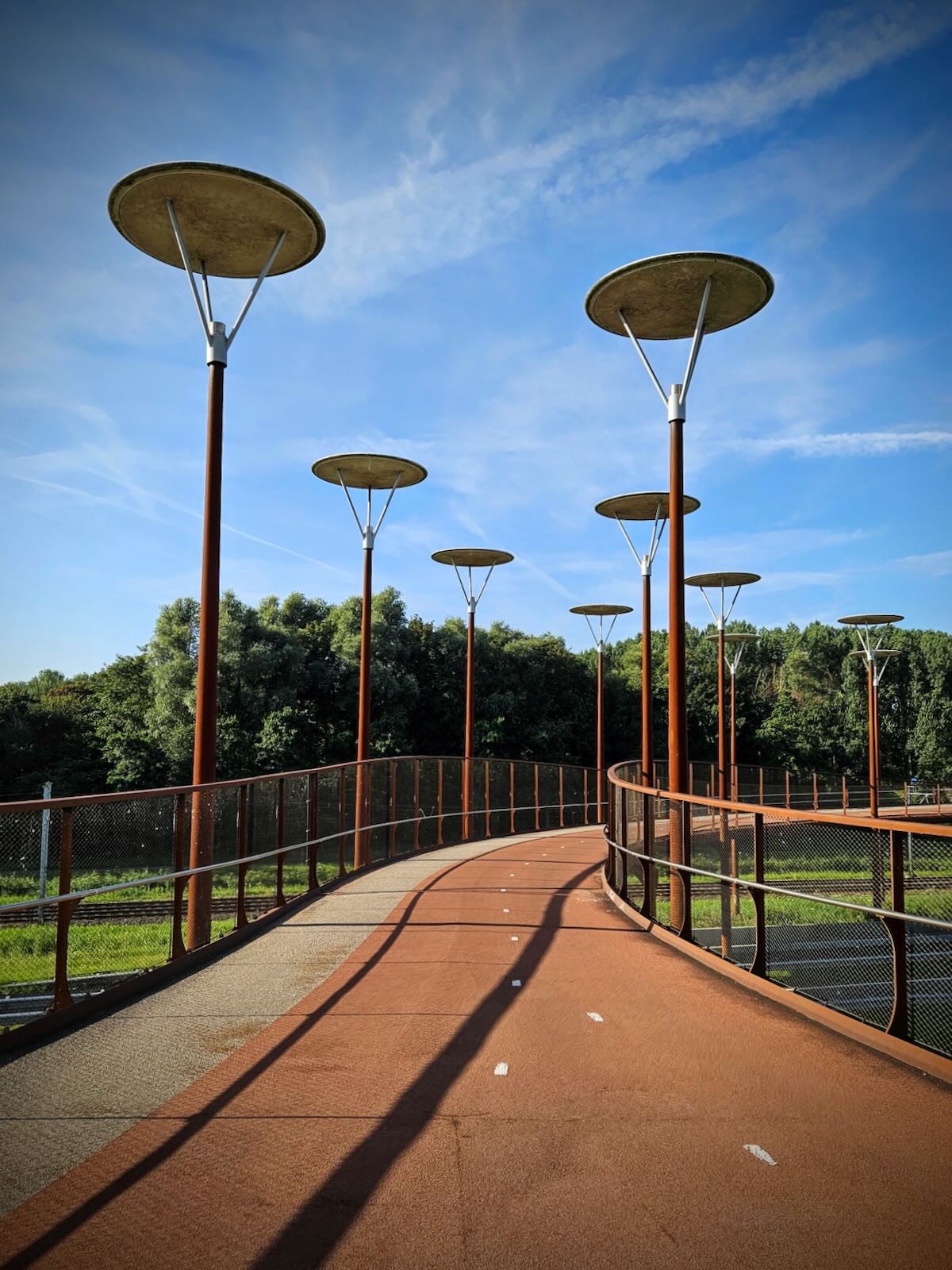
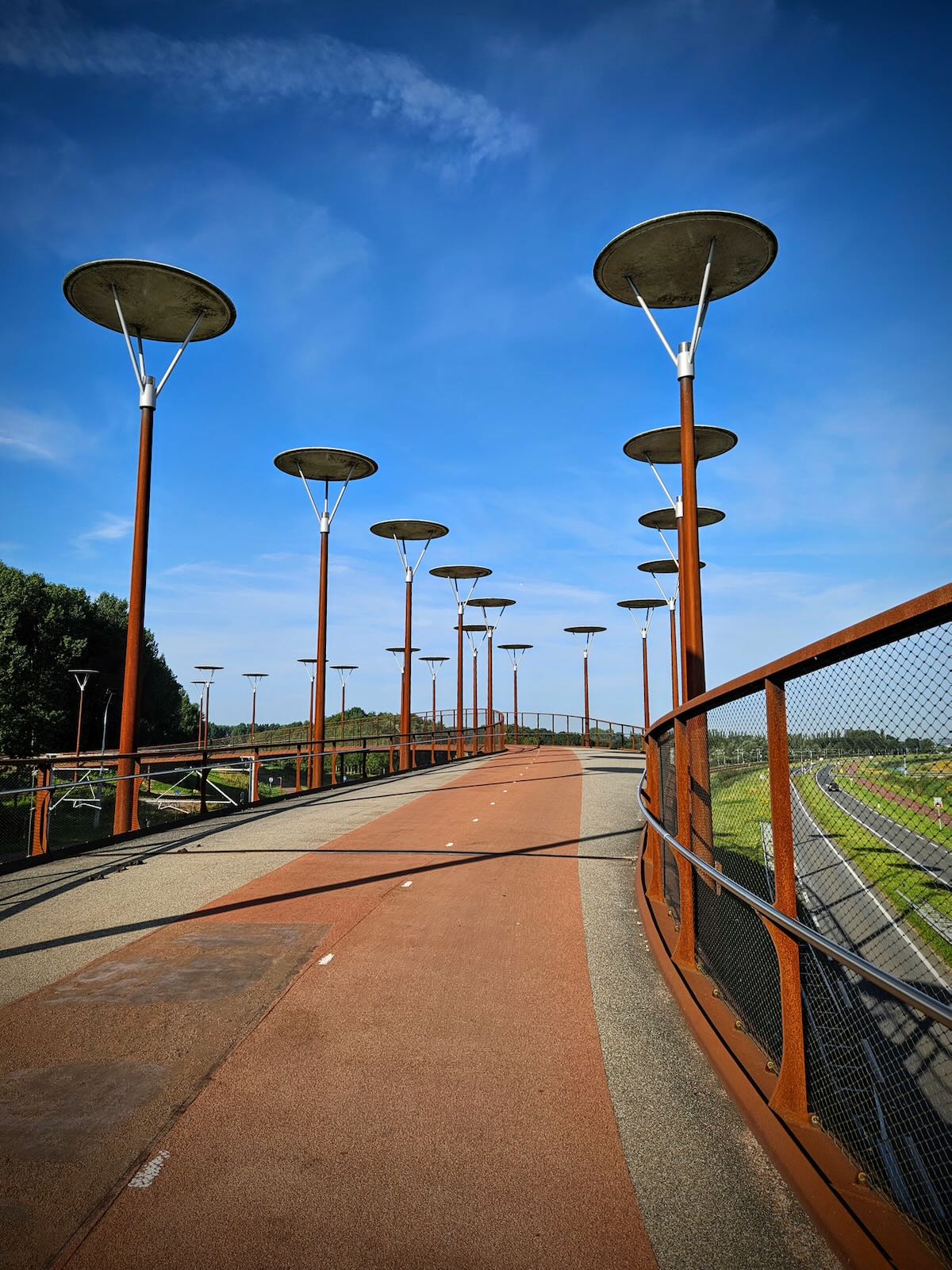
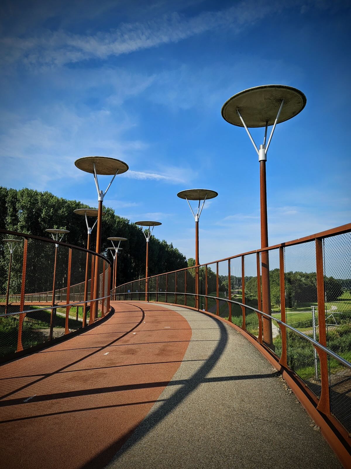
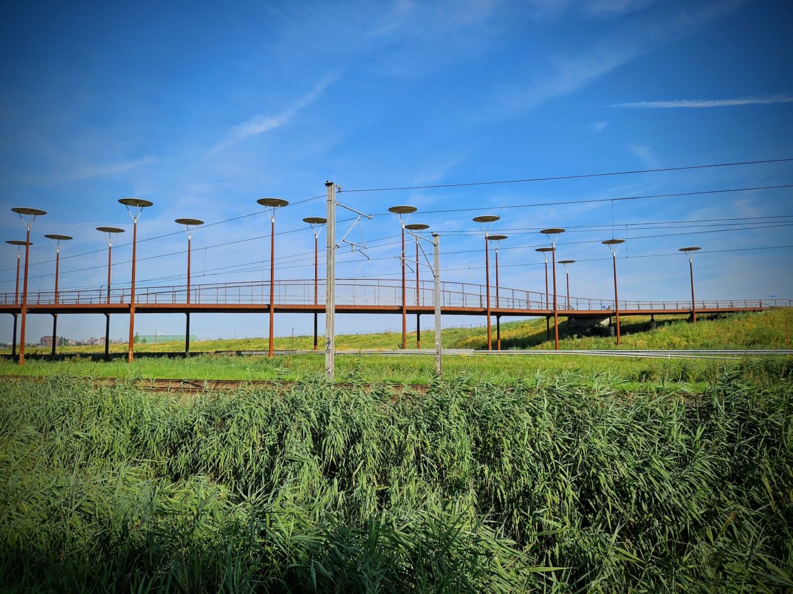
Designed by architect Syb van Breda, the bridge was inspired by the painting The Avenue at Middelharnis by Dutch master Meindert Hobbema. In the painting, it depicts a rural street with tall trees on either side.
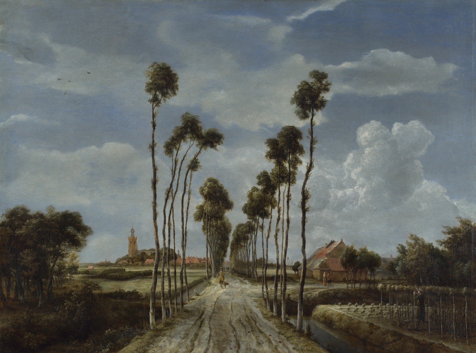
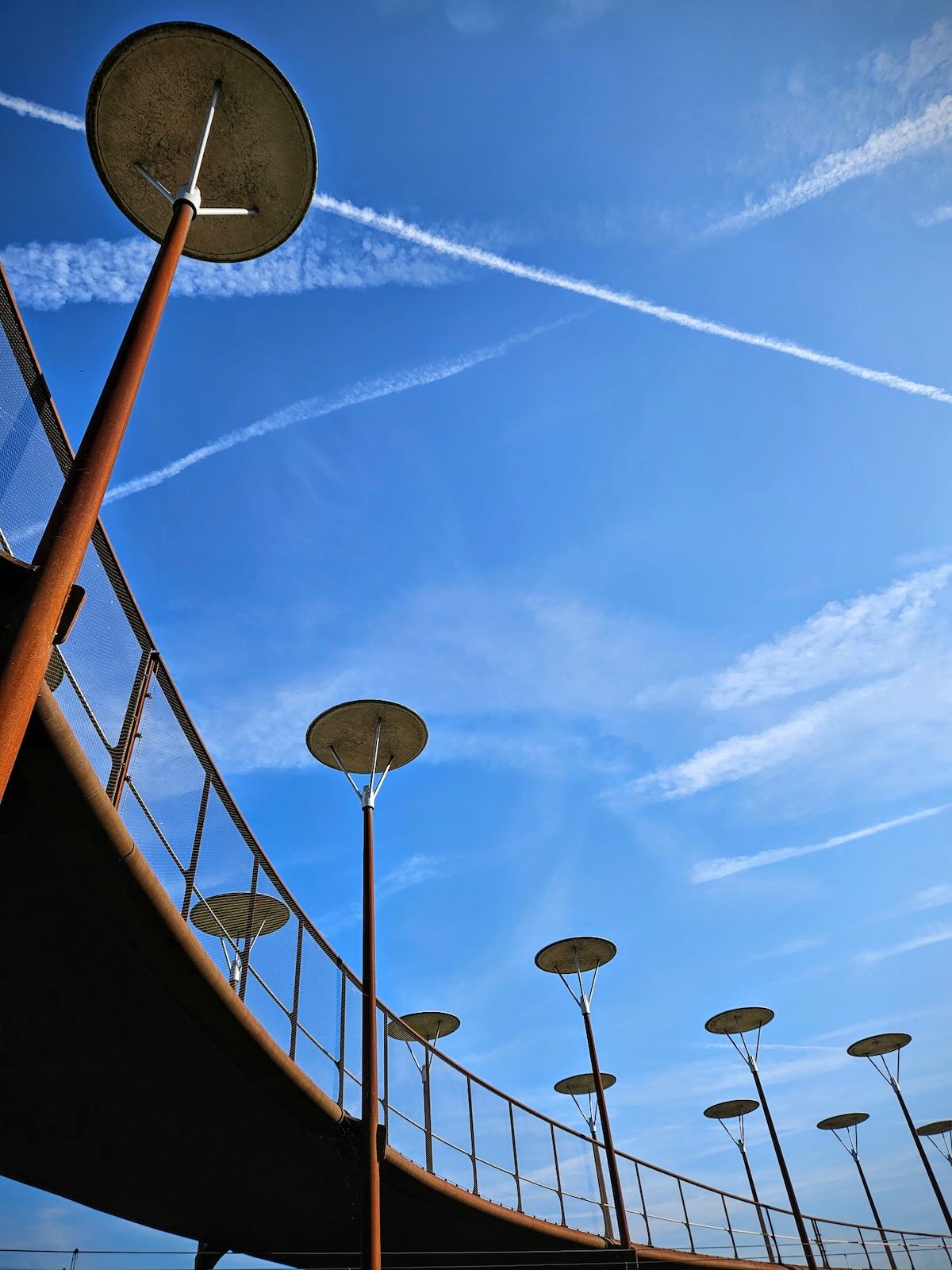
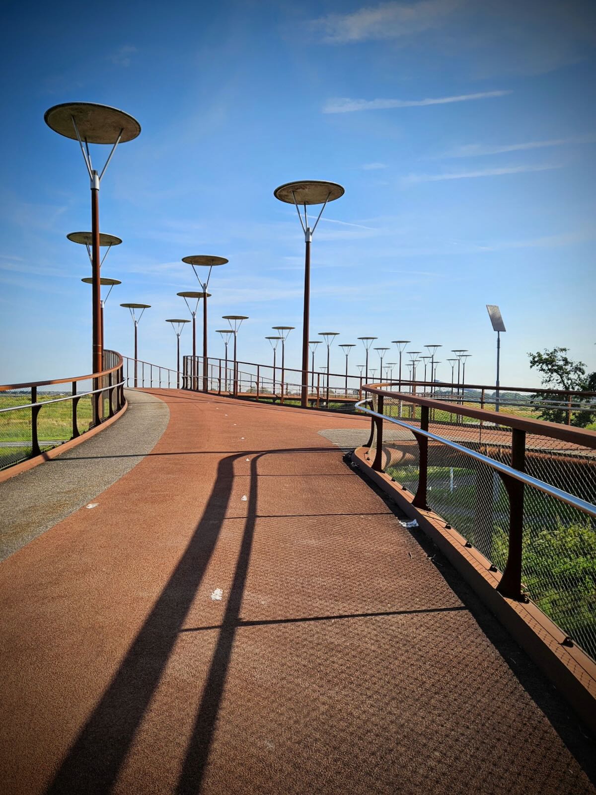
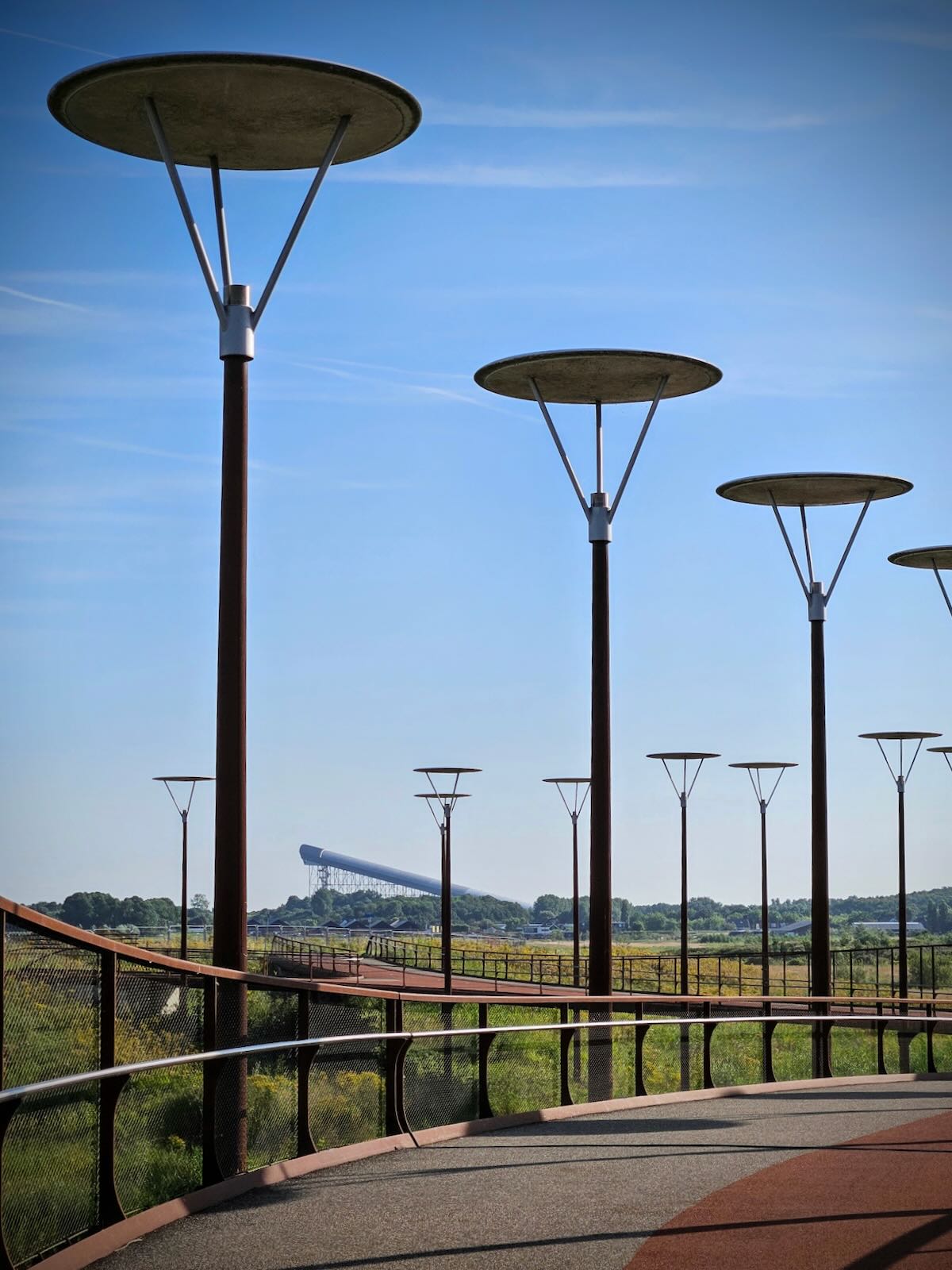
With its distinctive lighting repeating along the long bridge deck, it aims to mirror the tall trees in the painting, as it leads you into the landscape. Having such a unique design creates a impressive sight in the landscape, while the rust colour helps to anchor the bridge to its surroundings.
Riding to the bridge
Setting off from Duinrell, I made my way through Wassenaar and along Van Zuylen van Nijeveltstraat, then along the underpass under the N44 and onto Papeweg. This skirts the north of the De Horsten estate, which is a royal estate that connects to the other King’s estates in Den Haag.

I carried on to Voorschoten station, where I passed under the railway tracks, then turned right onto Geestwoningpad, which forms part of the Velostrada route.

The Velostrada route goes from Den Haag to Leiden and is part of a wider network of high quality cycle routes. You can read more about the Velostrada route on Bicycle Dutch, who recently posted about it.
It wasn’t long before I turned off onto Rosenburgherlaan, then onto Veurseweg, where I was riding in the cycle path next to the road. I then passed under the road in the underpass and turned off onto Kniplaan.
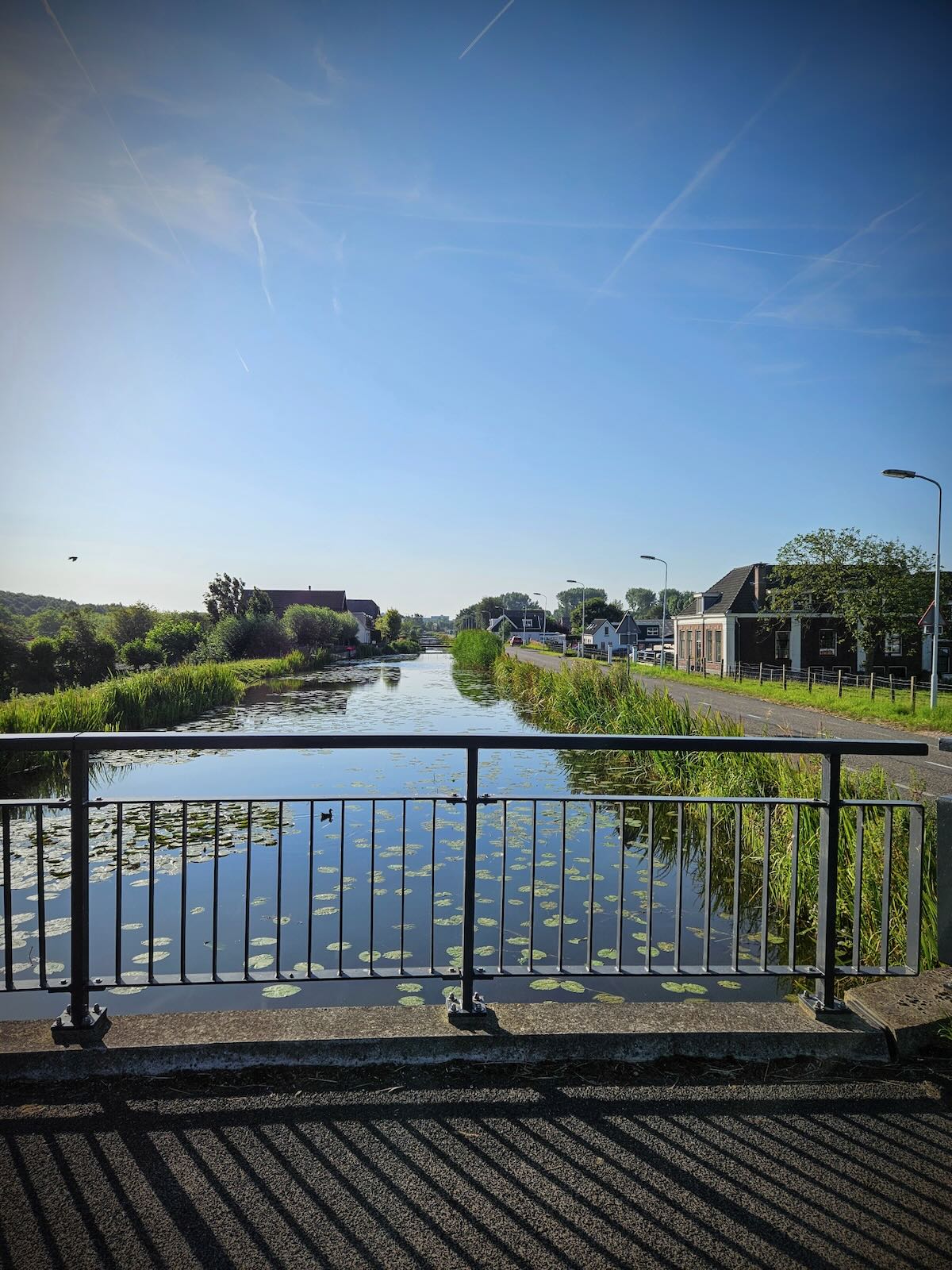
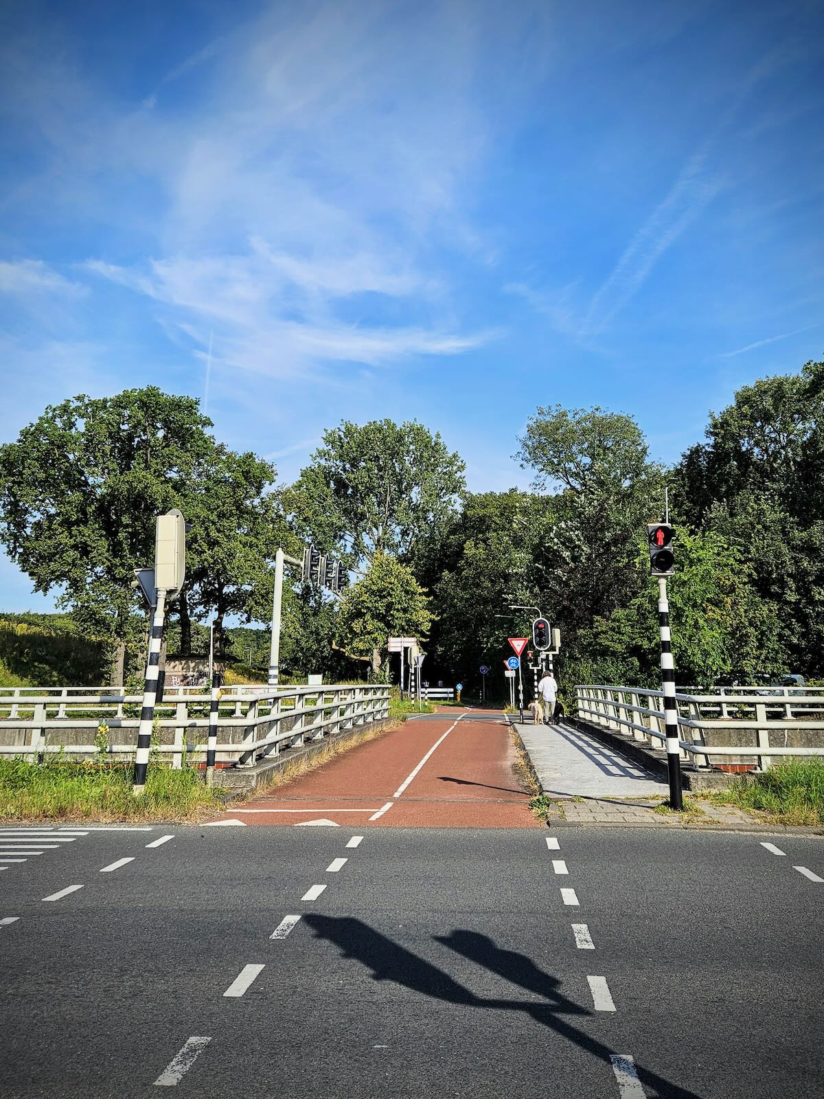
Initially, Kniplaan starts as an access road, providing access to the properties along there. Though towards the end of the road, there’s a turning that takes you onto a cycle path. Soon after joining the cycle path, I reached Overbridge, which crosses the Vliet Canal.

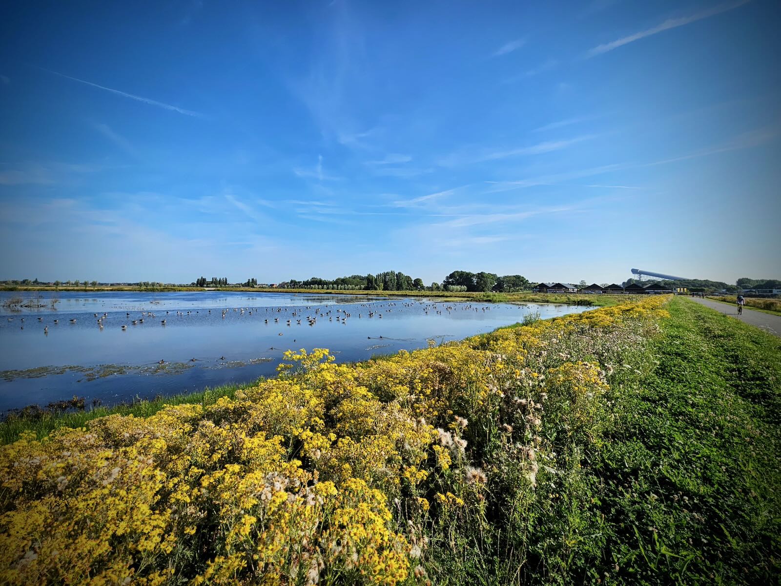
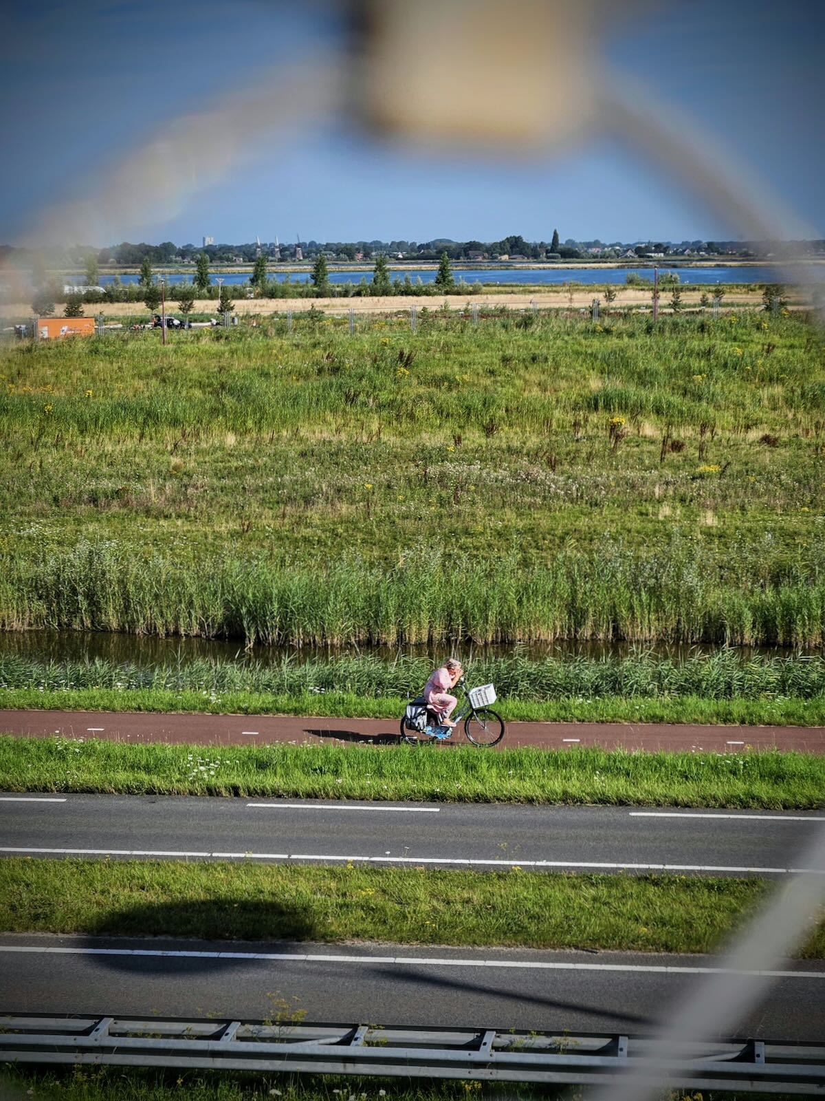
Once across the bridge, I continued along Kniplaan, which as this point passes between two large bodies of water, the Vlietland recreation park and the Vogelplas Starrevaart nature reserve.
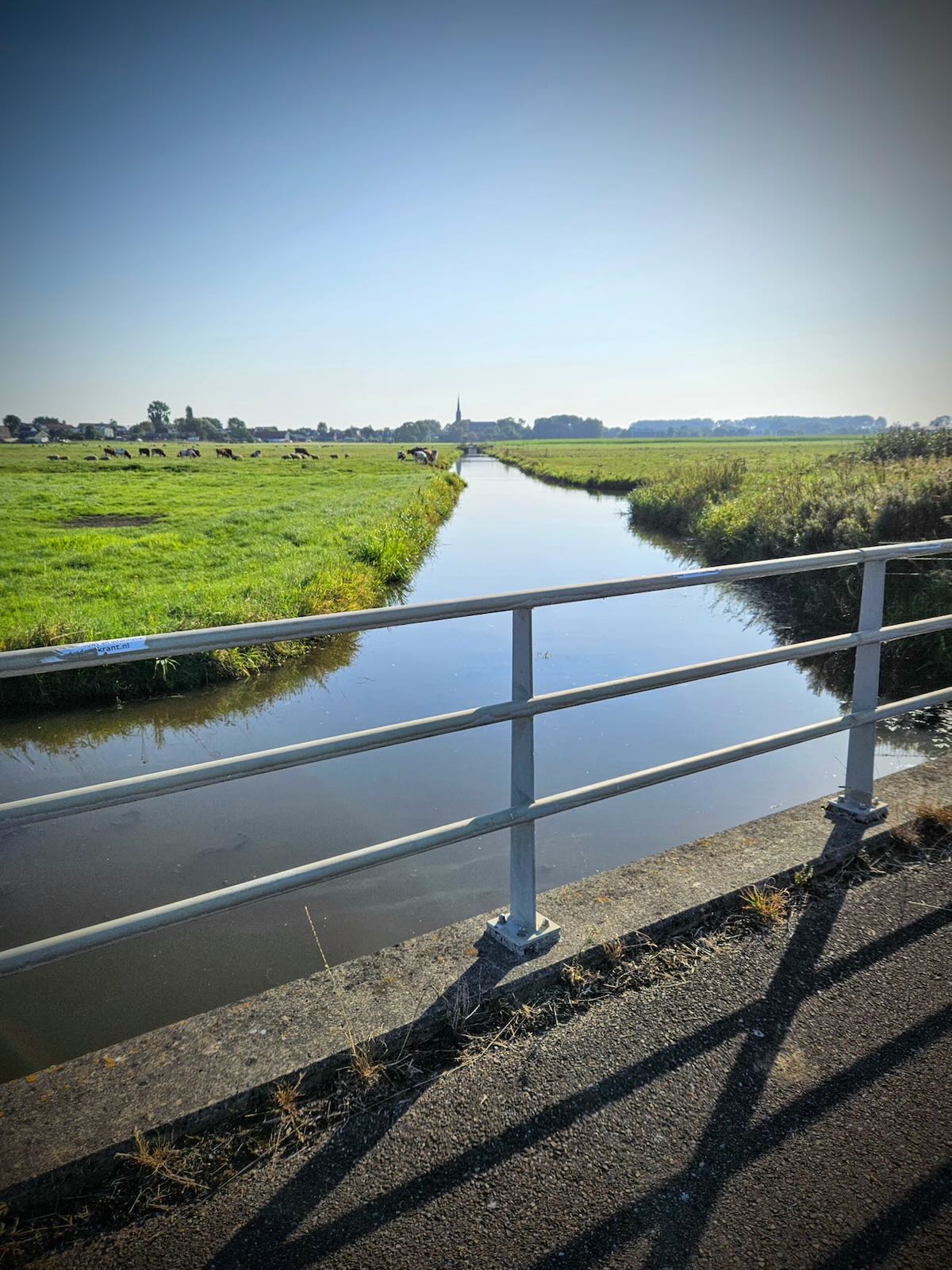
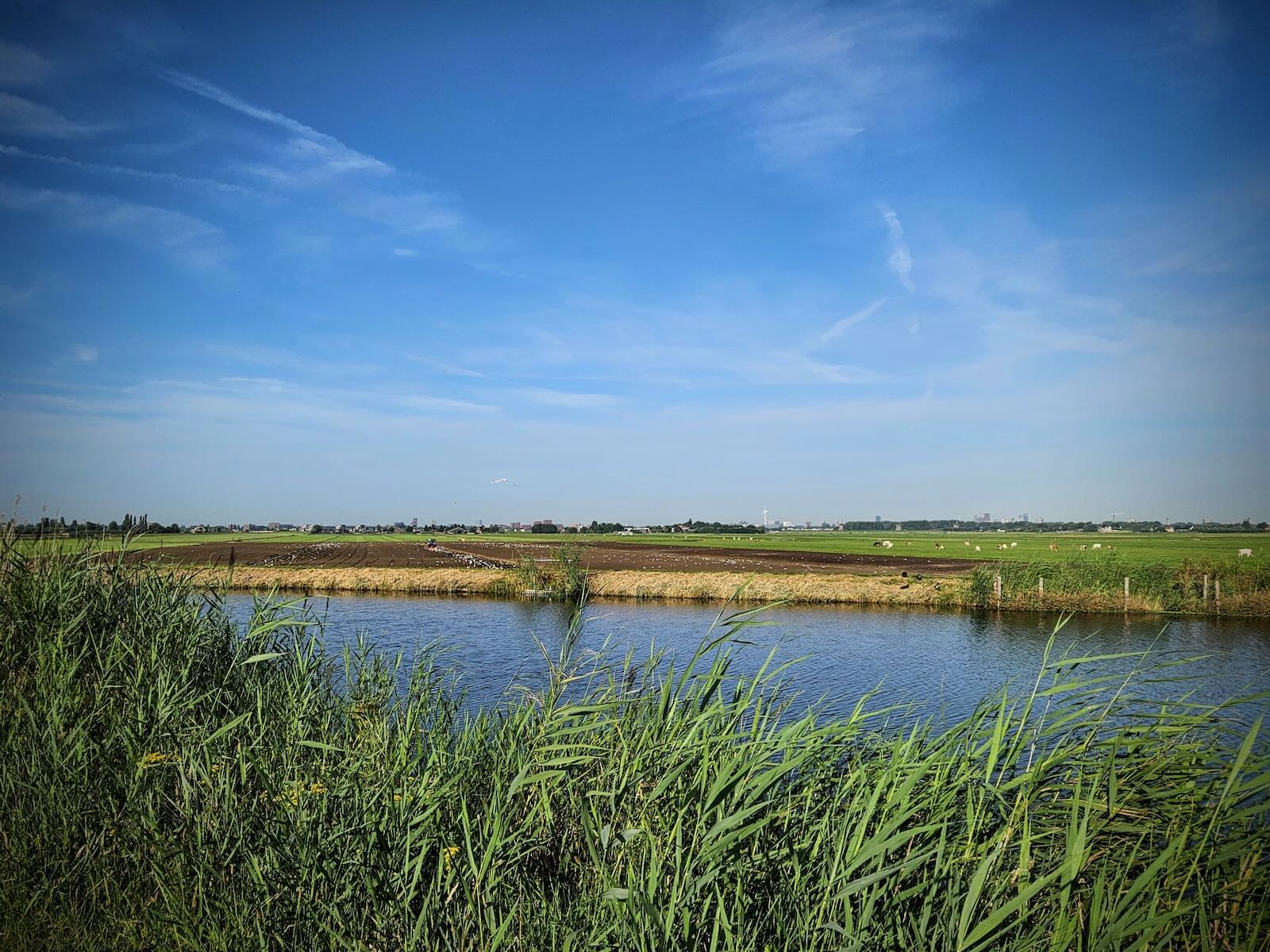
The path then continued over the A4 motorway on a bridge, then through polders with lots of cows, which were broken up with a short road section on Doctor van Noortstraat.

As I made my way across the polders, the SnowWorld snow dome got larger and larger, until I’d arrived at Buytenpark that surrounds it. Passing Buytenpark, I crossed Voorweg and continued on a path through De Nieuwe Driemanspolder.
De Nieuwe Driemanspolder was once agricultural land, but it is in the process of being converted to a nature reserve and recreation area. While it is in progress, a significant amount of work has been done, with a large and impressive wetland area.
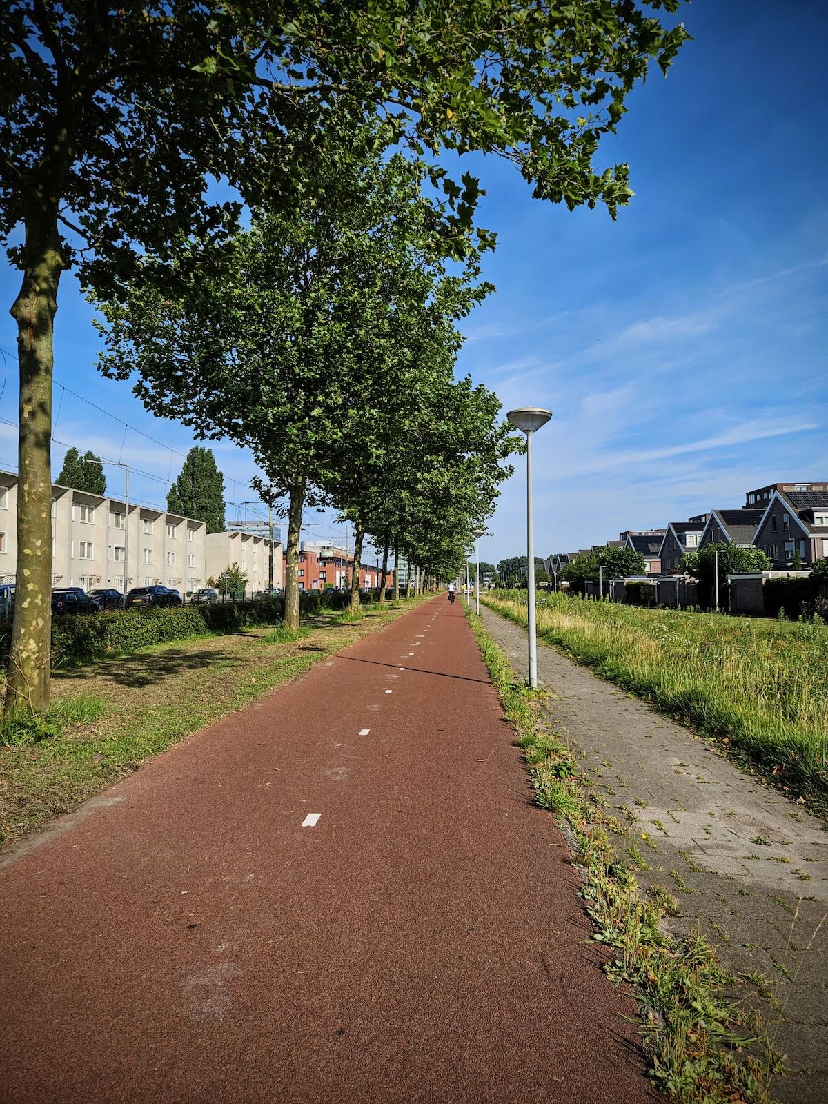
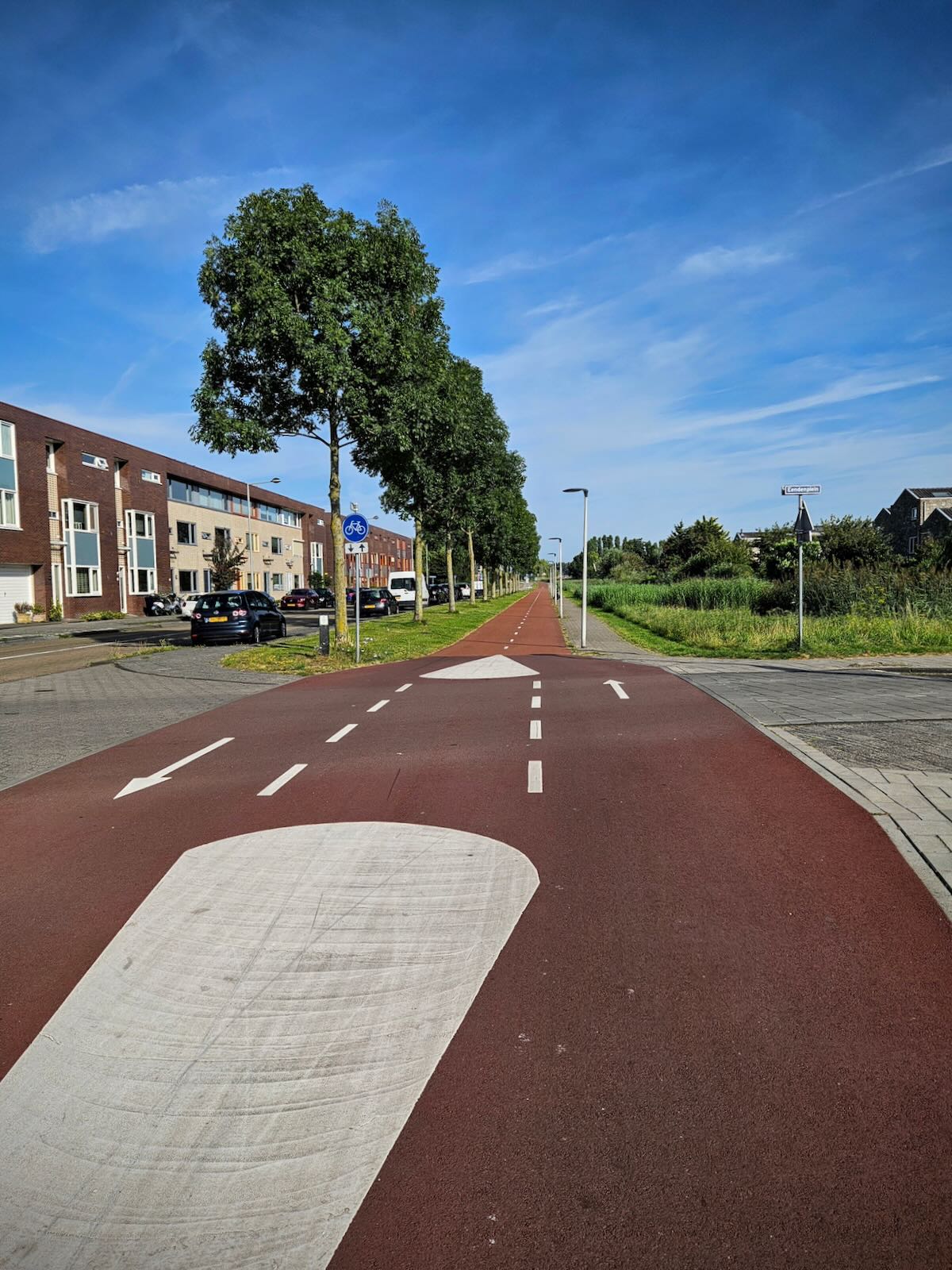
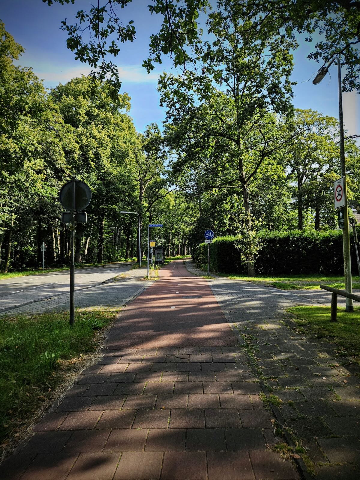
All along this section was more high quality traffic-free cycle paths that were a pleasure to ride, with the exception of the typical Dutch headwind. It was also nice to see little details, such as the metal strips across the cattle grids, smoothing out the ride, whether you’re on two or three wheels.

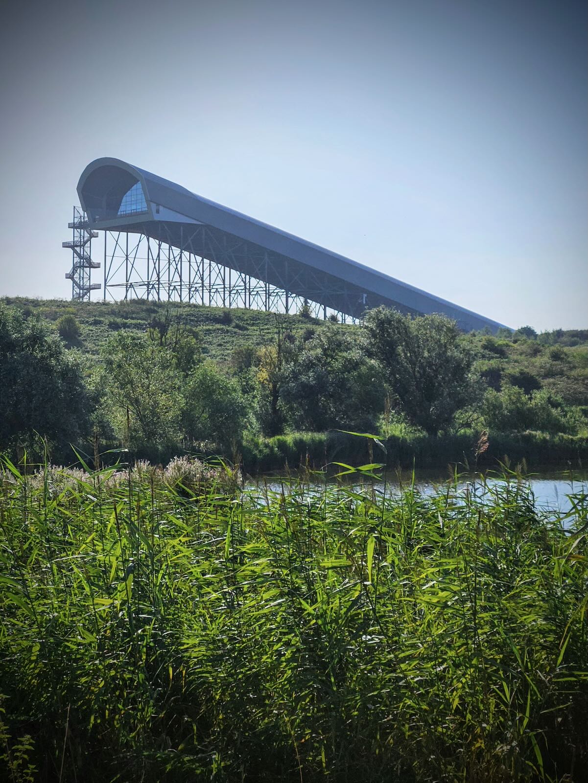
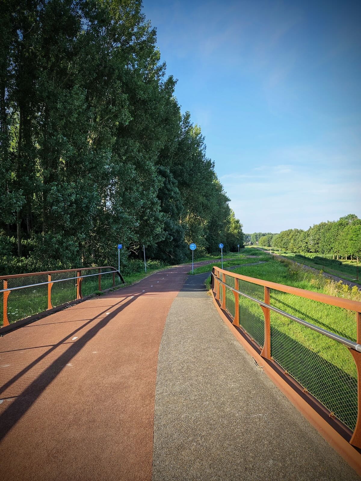
It wasn’t long until the Burgemeester Waaijerbrug bridge on the horizon got closer and I found myself on the ramp up to the bridge.


At the bridge
While I’ve previously been to Burgemeester Waaijerbrug, it still struck me as an impressive structure and unlike any bridge I’ve seen before. As I’ve said before, this could have easily been a very functional and dull bridge, but what they’ve created really adds to the landscape.
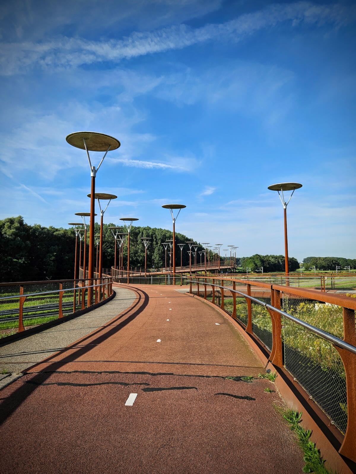
As you can probably guess, I made my way over the bridge a number of times, riding from one side to the other, taking photos. The rust colour of the bridge really seats it into the environment, while the circular lights appear to hover above it.
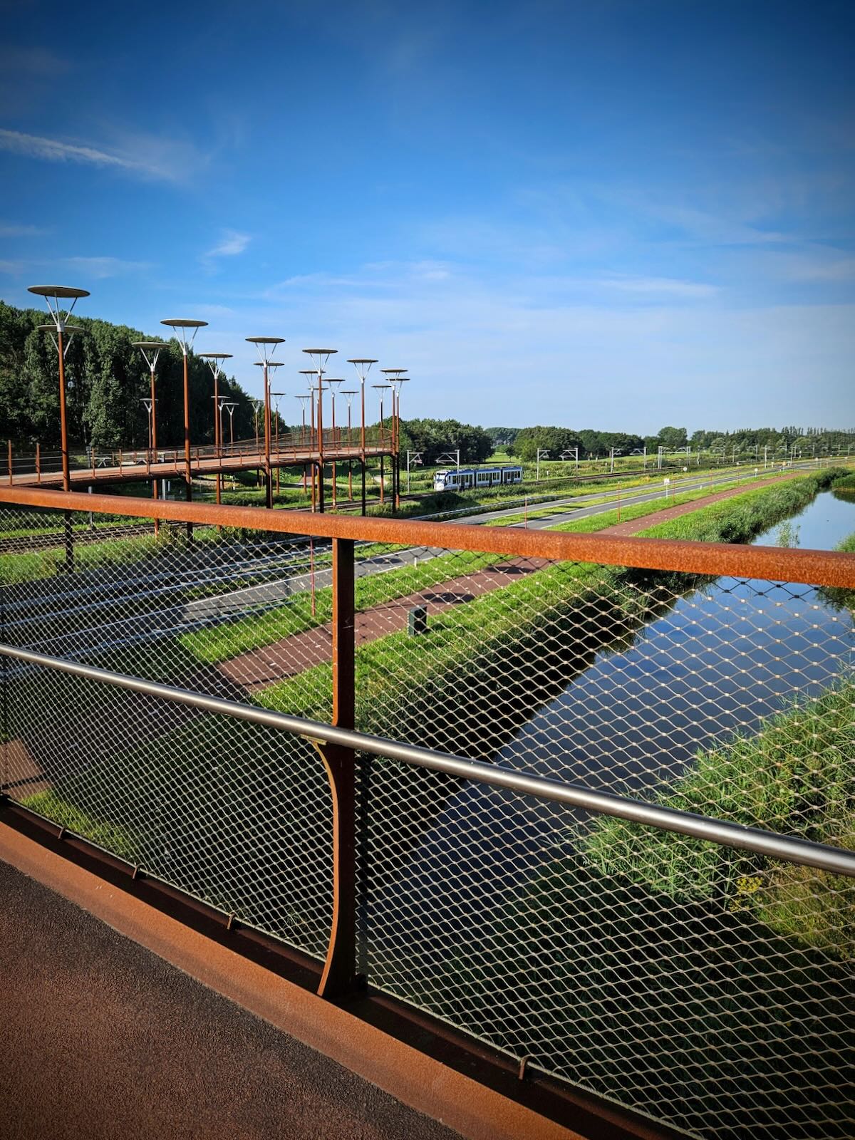
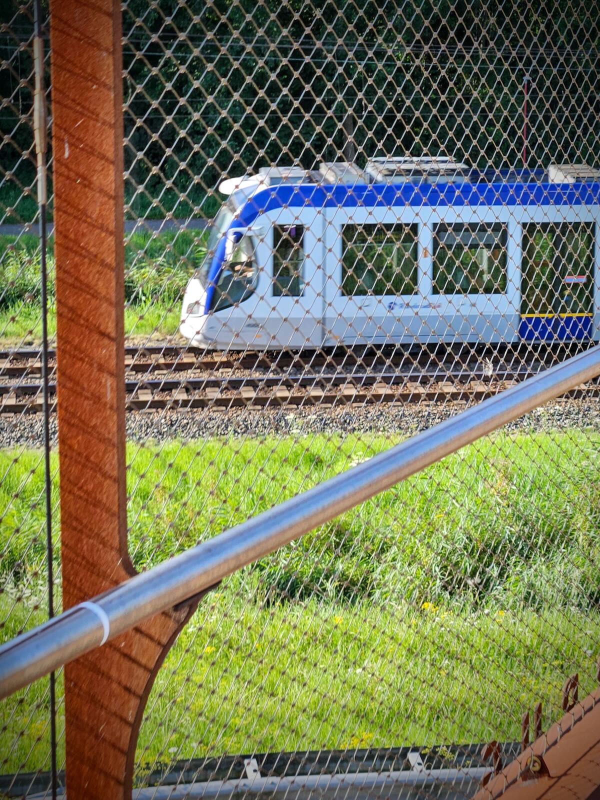
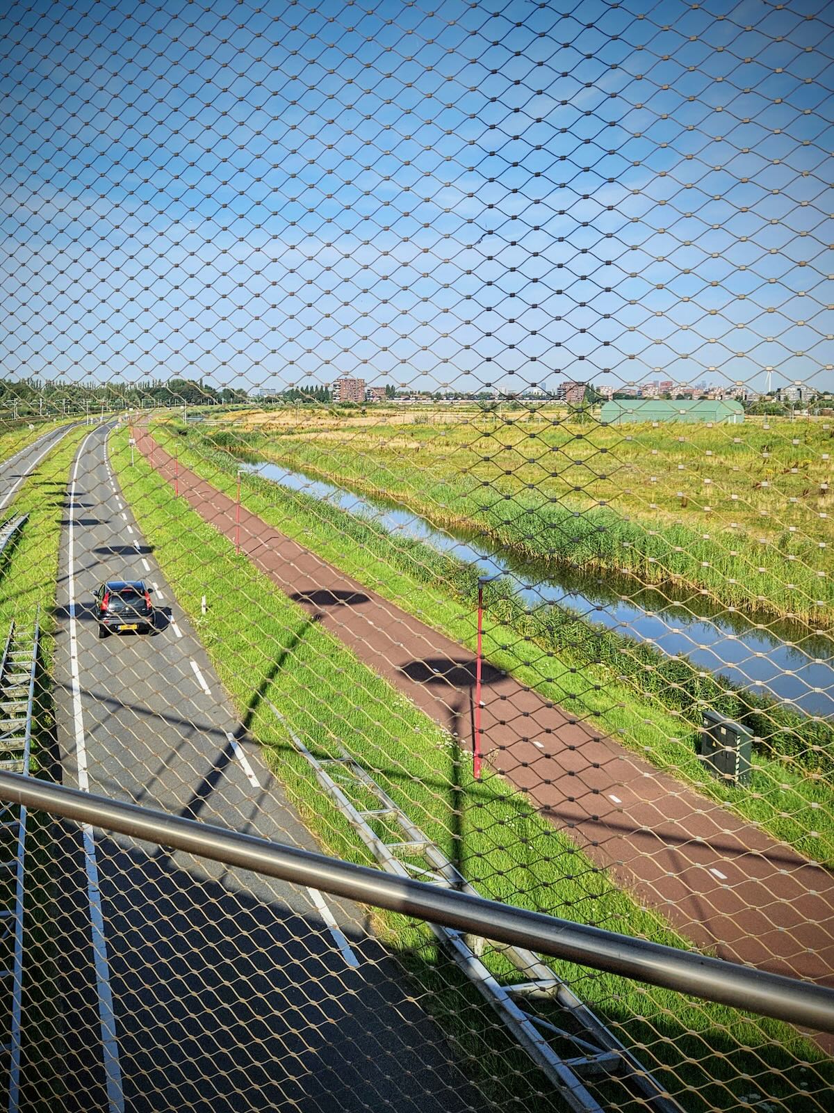
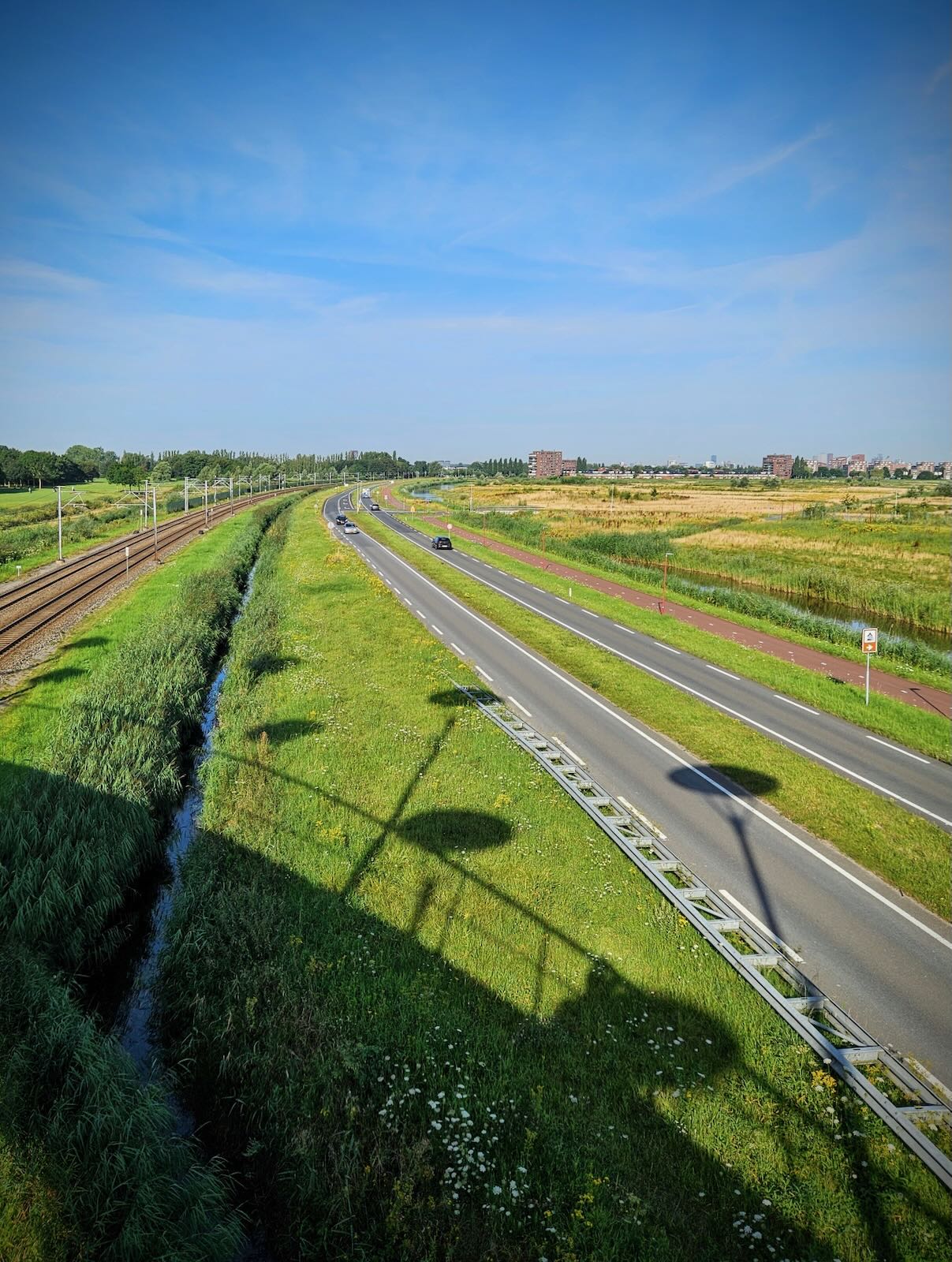
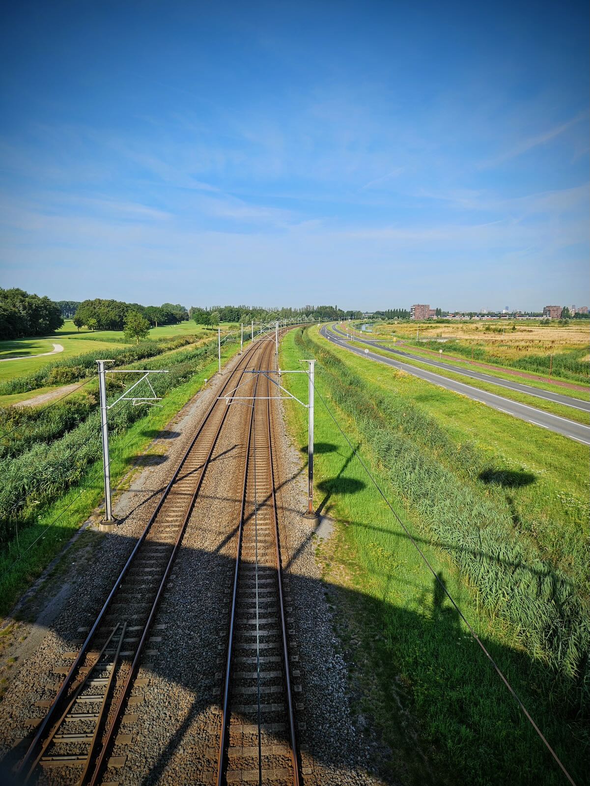
The views from the bridge are almost as impressive as the bridge itself. I spent a while just standing on the bridge, looking out, watching the RandstadRail trains come and go below. I’d love to see the bridge at night, with all the circular discs lit up.
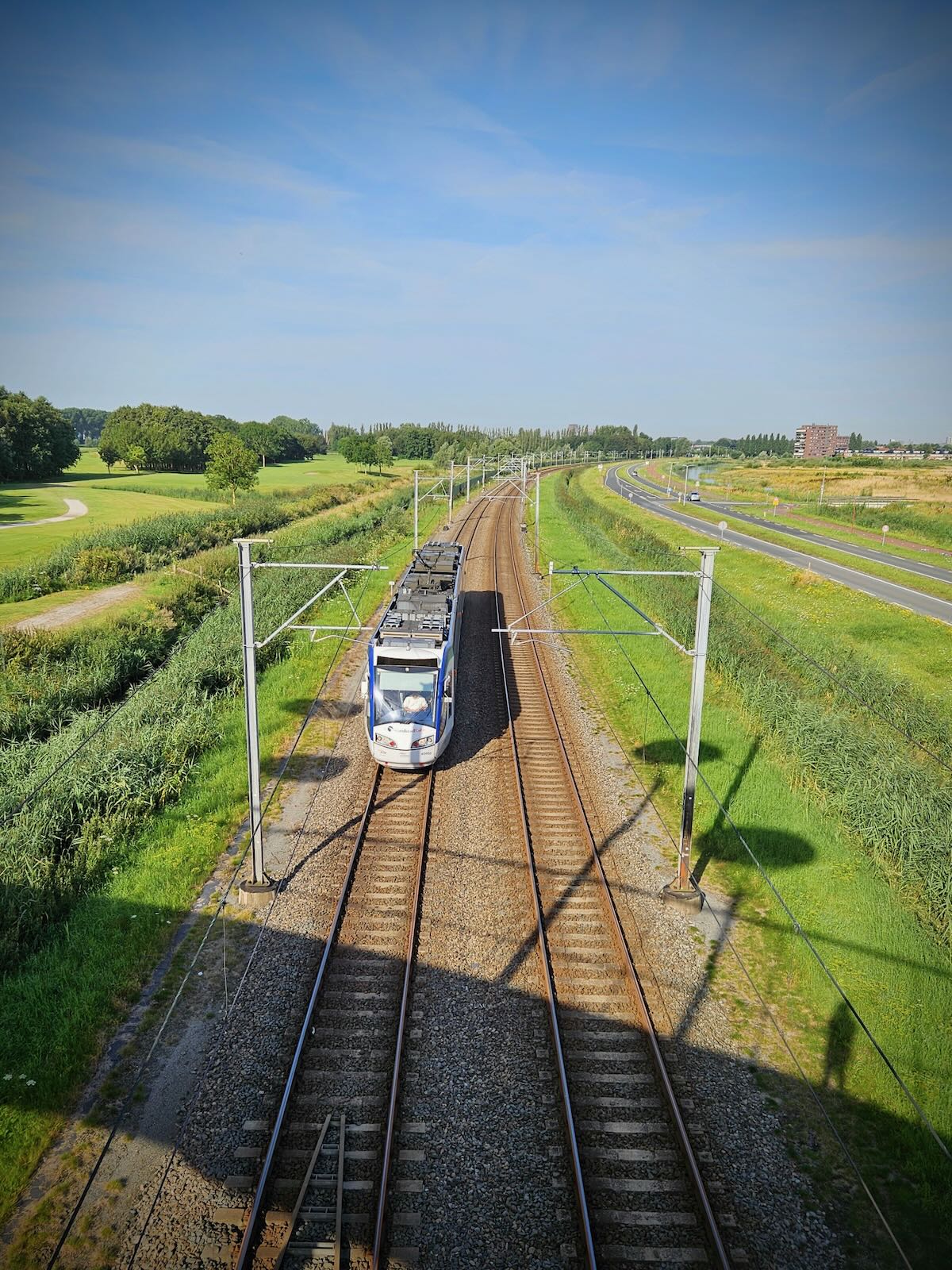
The length of the bridge is required because it spans cycle paths, general traffic lanes, a water channel and the aforementioned RandstadRail tracks. The central section where it snakes along the water channel makes it even longer, but that means you get to enjoy it more!

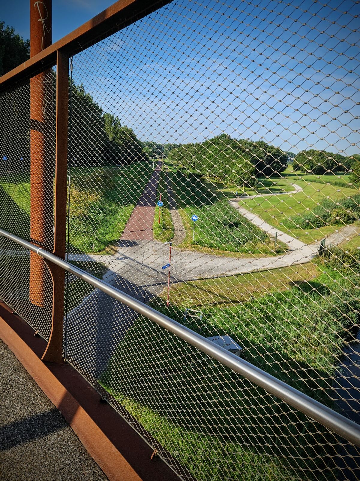
It would have been nice to explore further, crossing over to the other side going for a ride round Westerpark, but after I’d finished taking photos, it was time to leave.


Riding back
Given the opportunity, I’ll usually try to ride a different route back, as it’s always nice to see something different. With that in mind, I planned a route taking me through the outskirts of Voorburg, rather than towards Voorschoten.
This route would be much more built up than one I arrived on, I’d be replacing polders with housing estates on the way back, as well as a few large roads. Though to start with, there was a short section of rural cycle path, before I reached the town.

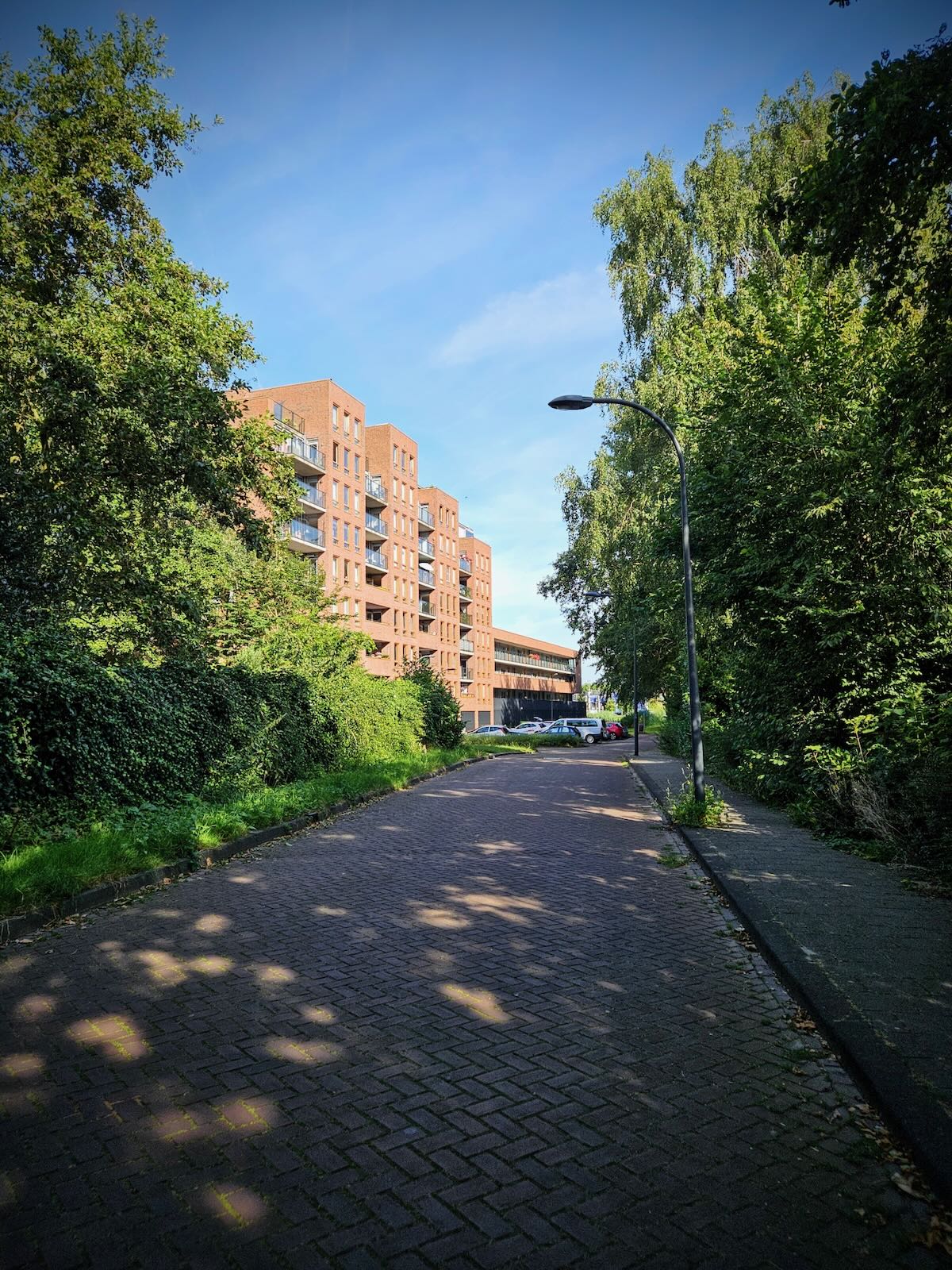
Continuing onto Libelsingel, I made my way through Leidschenveen. This was the location of a military air base, until 1992, with development on the residential area starting in 1997. This is apparent from the modern buildings and surrounding infrastructure.

While similar developments in the UK typically lead to rather uninspiring estates of dull single family homes, such as Westbrook, near Warrington. Leidschenveen features some really varied and interesting buildings, from fairly high density townhouses, to pleasant looking apartment blocks.
As you’d expect being the Netherlands, there’s lots of decent quality green spaces in between the buildings, plus wide and smooth cycle paths running through. It was only that cycle path I made my way through as I continued over the A4 motorway again.

After crossing the motorway, I continued over the Vliet Canal, then along more residential streets on a combination of cycle paths and fietsstraten (cycle streets). This was largely parallel to the N17, which goes in and out of tunnels as it passes through the area.
After passing under the railway tracks heading towards Den Haag, I was now riding parallel to the N17 as rises out of a tunnel and continues above ground. As this point I was on a wide, straight, slightly elevated cycle path, with the road on the right, and a large green space and residential buildings on the left.

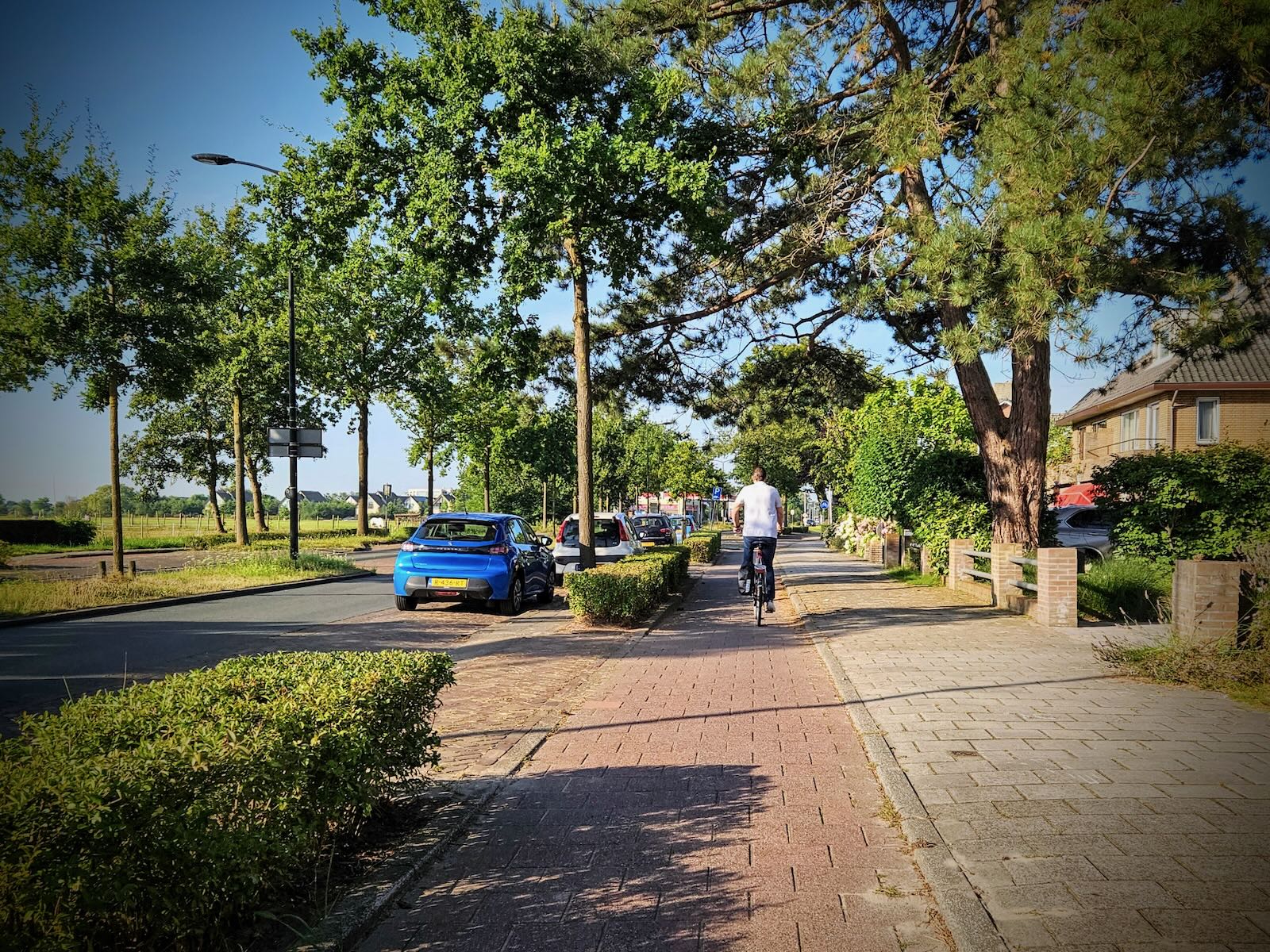
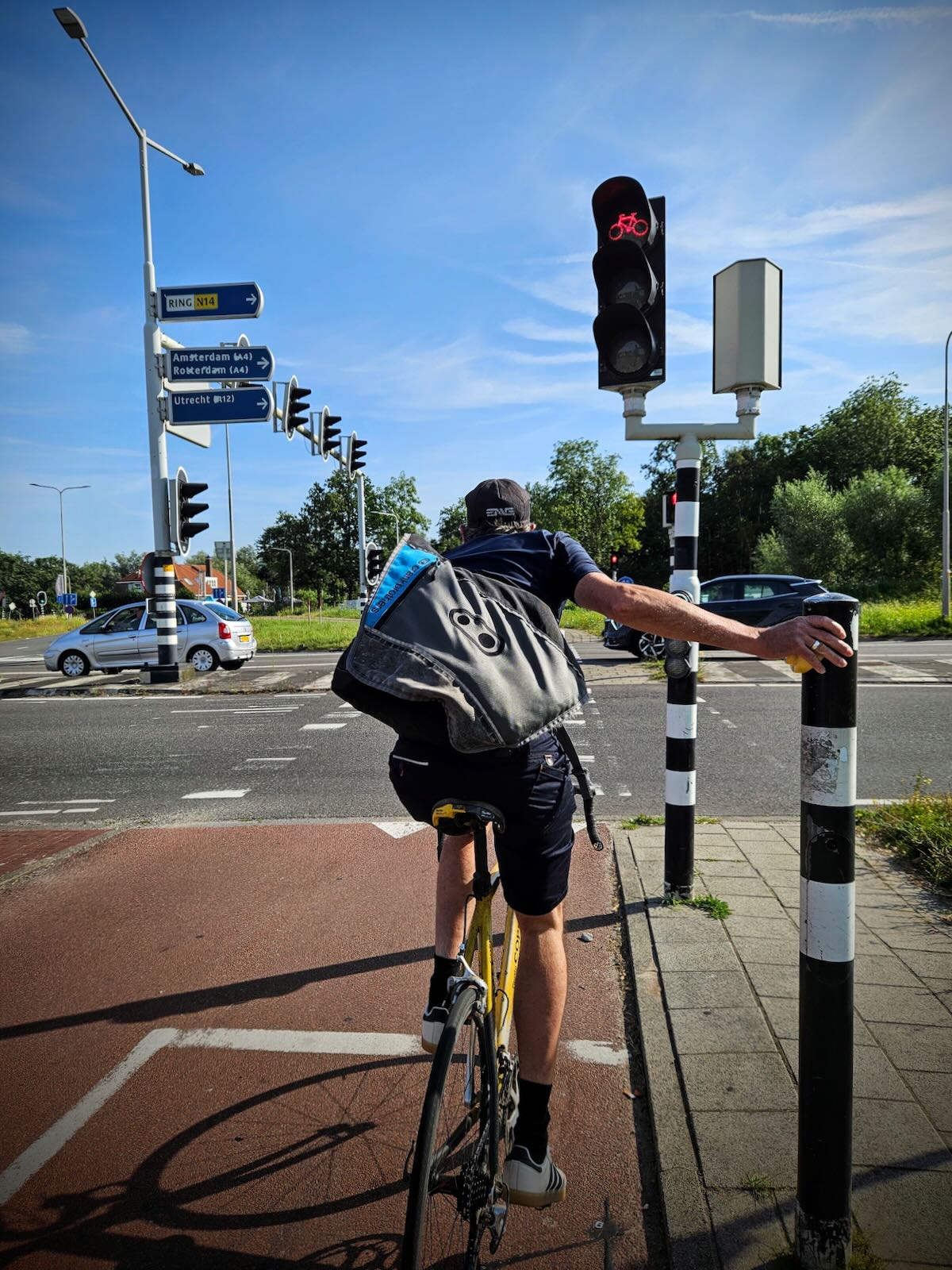
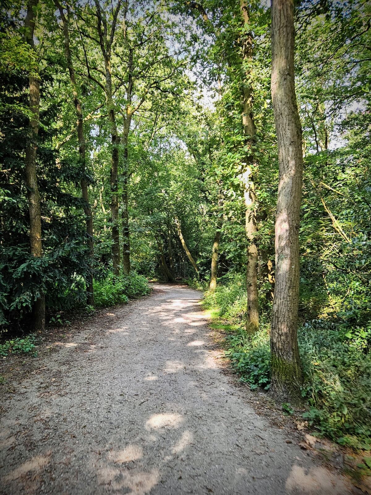
Approaching Wassenaar, I crossed the N17, then continued a little further before turning right onto the N44. From there, I turned off into the woods surrounding the De Wittenburg estate. Once through the woods, I continued on the local streets in Wassenaar and arrived back at Duinrell.


Route
More Netherlands 24 posts
Further posts from our trip to the Netherlands in 2024
- Cycling in Amersfoort
- Riding the F28 fast route to Utrecht
- Bosbad Amersfoort, an outdoor swimming pool in the forest
- In Utrecht again, visiting DOMunder and back via the Dafne Schippers Bridge
- A wander along the Eem to Koppelpoort and a visit to the Mondriaanhuis
- Riding to the Nationaal Militair Museum
- Back at Duinrell
- Riding around Wassenaar
- Riding from Duinrell to Leiden
- Riding to the Burgemeester Waaijerbrug bridge
- Riding to Den Haag and Scheveningen via Madurodam
- Loop ride from Duinrell to Katwijk
- Loop ride from Duinrell to Voorburg via Huis ten Bosch
