As I mentioned in my last post, Margate and Ramsgate loop along the Viking Coastal Trail, we’re often in Kent visiting family, meaning I get to do a bit of cycling down there, in an environment that’s very different to Manchester, in many ways.
During our August bank holiday visit, I managed to fit in this second ride. Though this one was a bit closer to where we stay in Maidstone, as I found a suitable route starting nearby, going through Bearsted, onto the Pilgrims’ Trail and back along the Medway Towpath.
I’ve been along the Pilgrims’ Trail before, as we went for a ride along there last year, on a slightly different route. That route was mostly pretty good, except for some really muddy sections along the way, so I was happy to give another route a go.
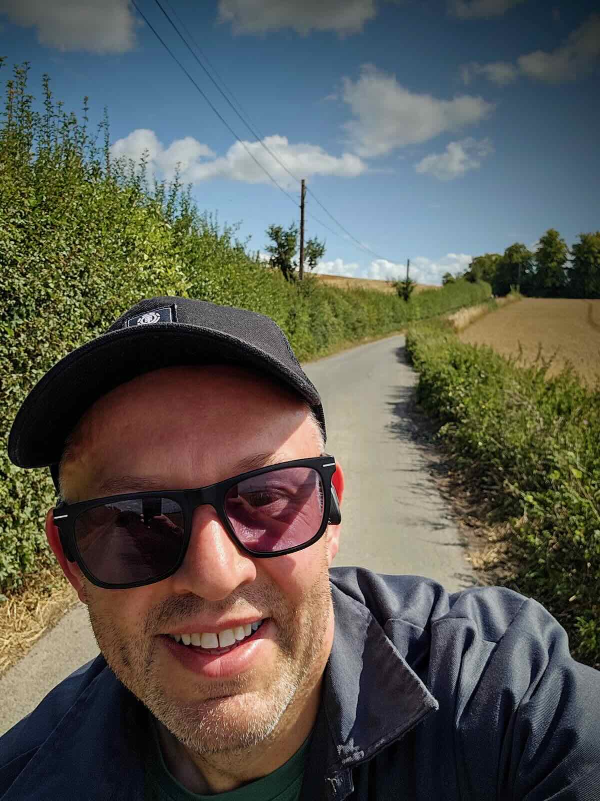
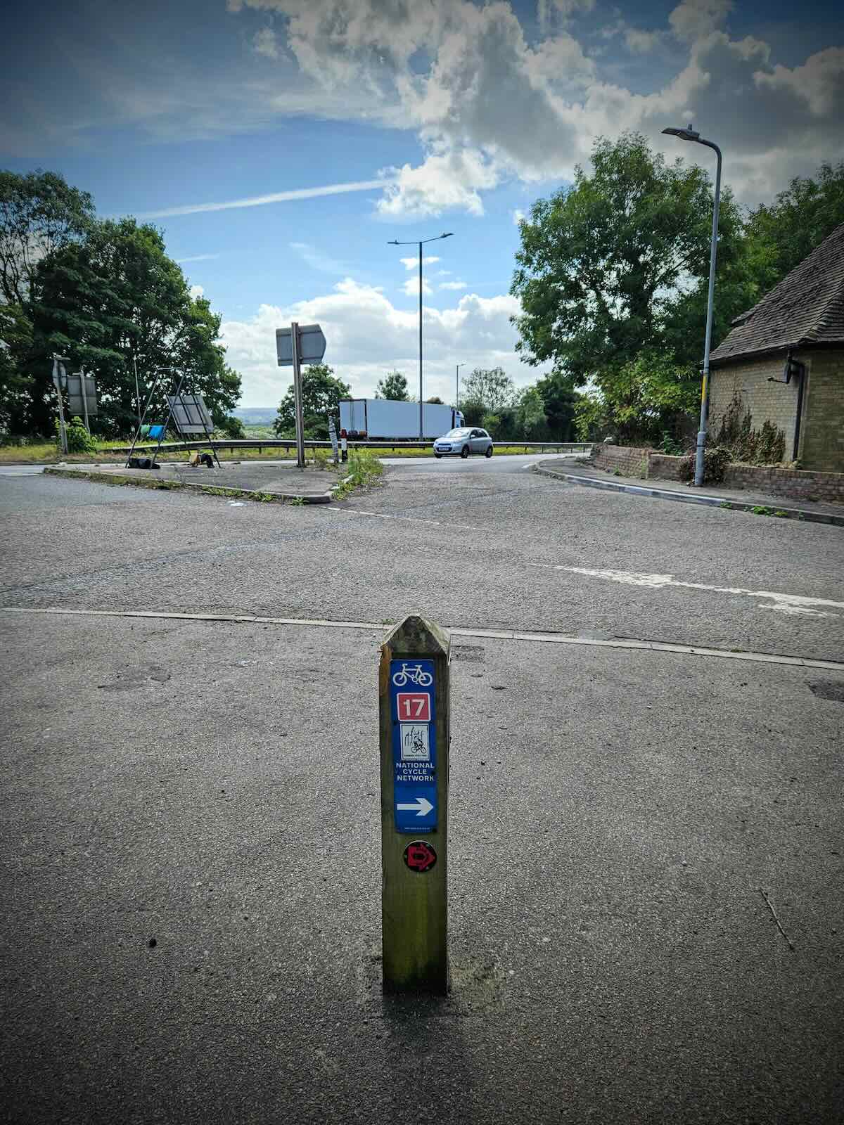
Setting off from the Wheatsheaf junction on the A229 Loose Road, the route made its way along some quieter roads towards Bearsted. I say quieter rather than quiet, as some of the roads round here are rife with rat running.
While there’s lots of traffic calming, it’s pretty ineffective. The streets round here would definitely benefit from the low traffic neighbourhood treatment, but given where we are, that seems highly unlikely.
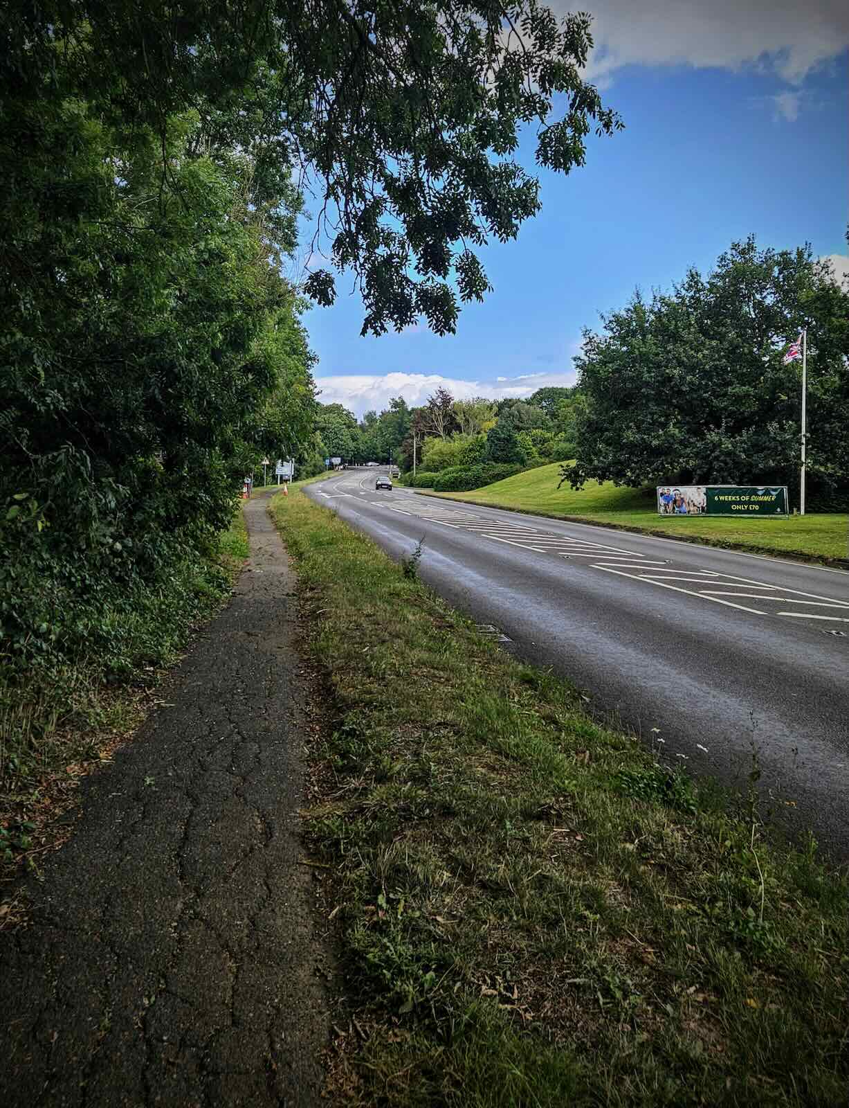
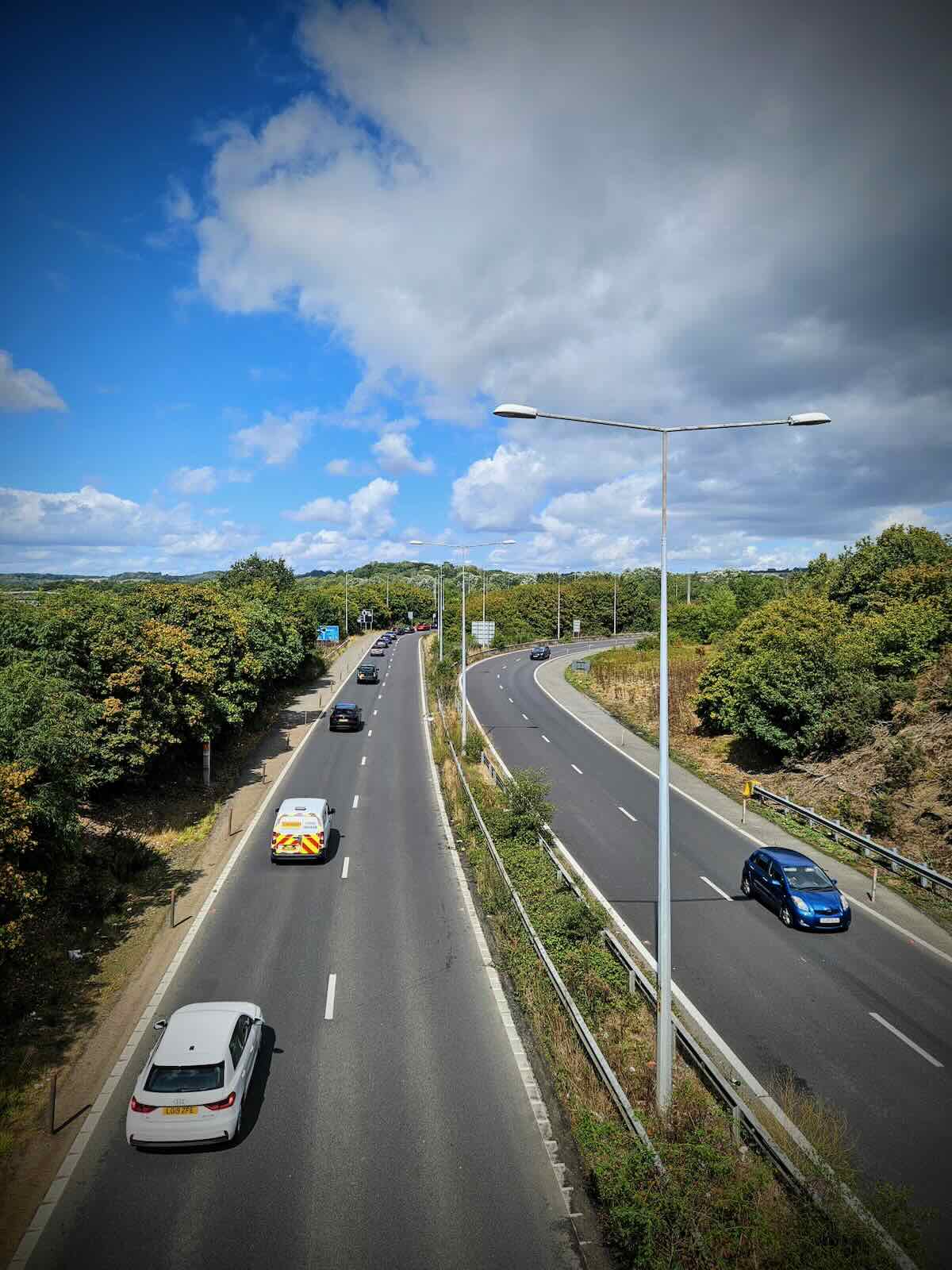
I soon arrived on at the A20 Ashford Road in Bearsted. This is one of the main routes out of Maidstone, heading east to the M20, so perhaps you’d hope for some safe space for cycling, or a painted lane at a minimum.
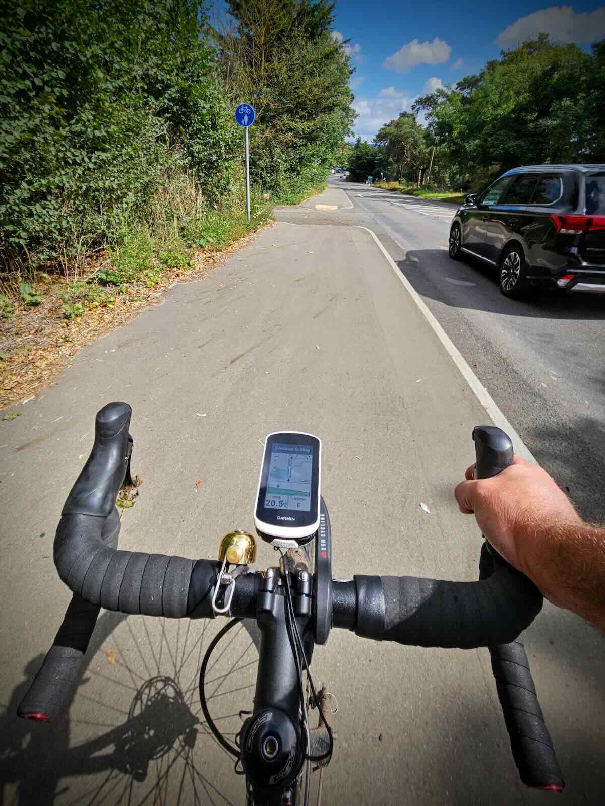
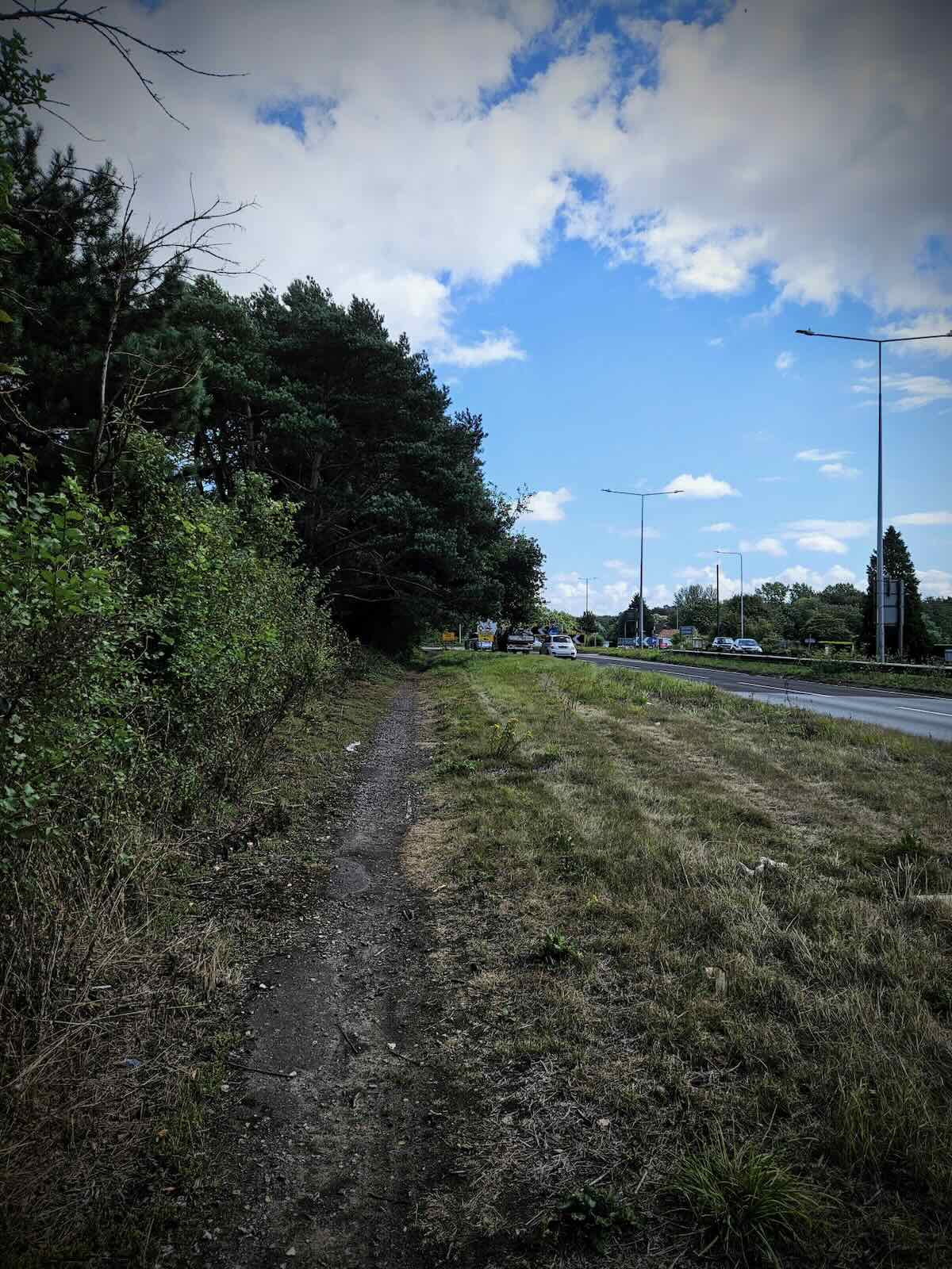
This is Maidstone though, so don’t get your hopes up! Along most of the road, there’s largely nothing to speak of. Though a bit further out from Bearsted, there’s at least some new sections of shared use path. While less than ideal, it’s better than nothing.
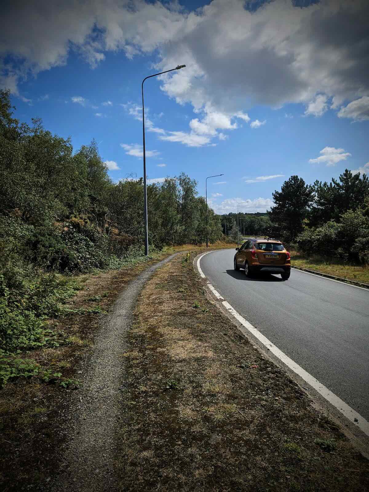
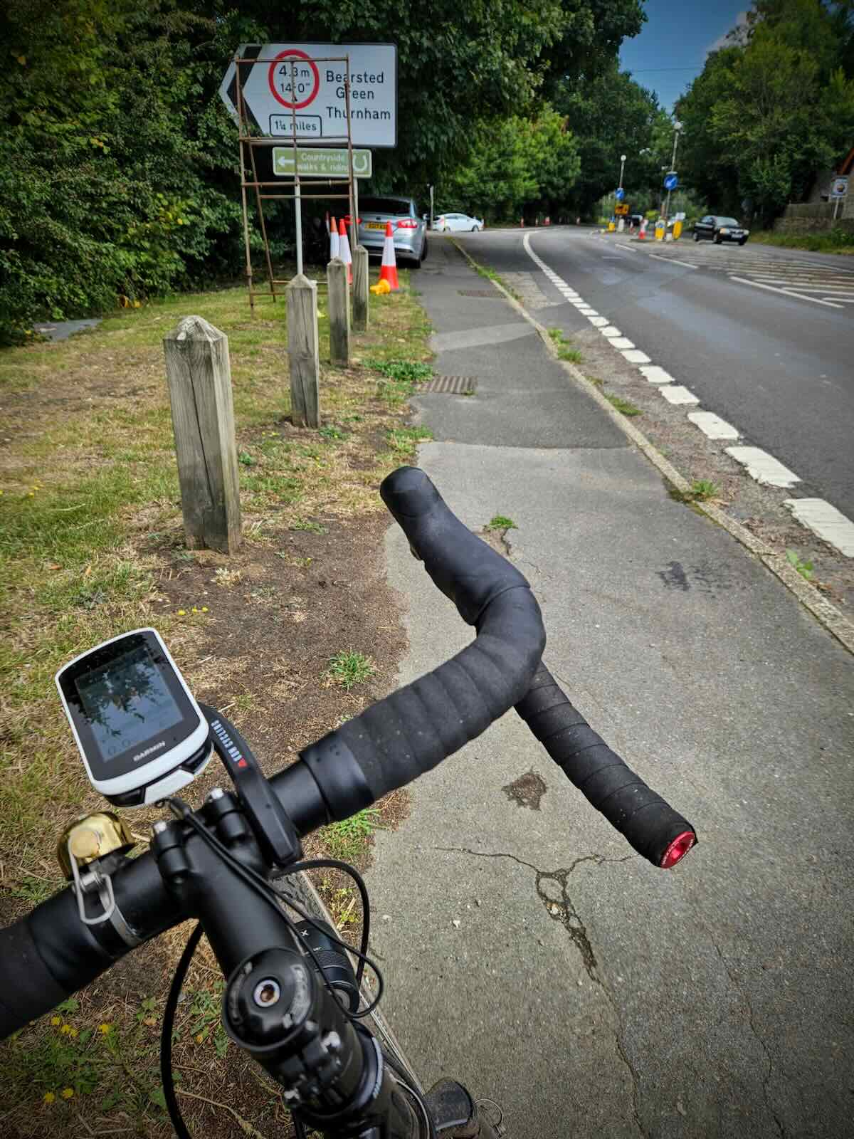
It doesn’t last for long though. Approaching the M20 junction, that shared use path just turns into a bit of dirt by the side of the road. Clearly, people walking and cycling here at not welcome here. I carry on riding in the dirt, as it’s better than mixing with the speeding traffic.
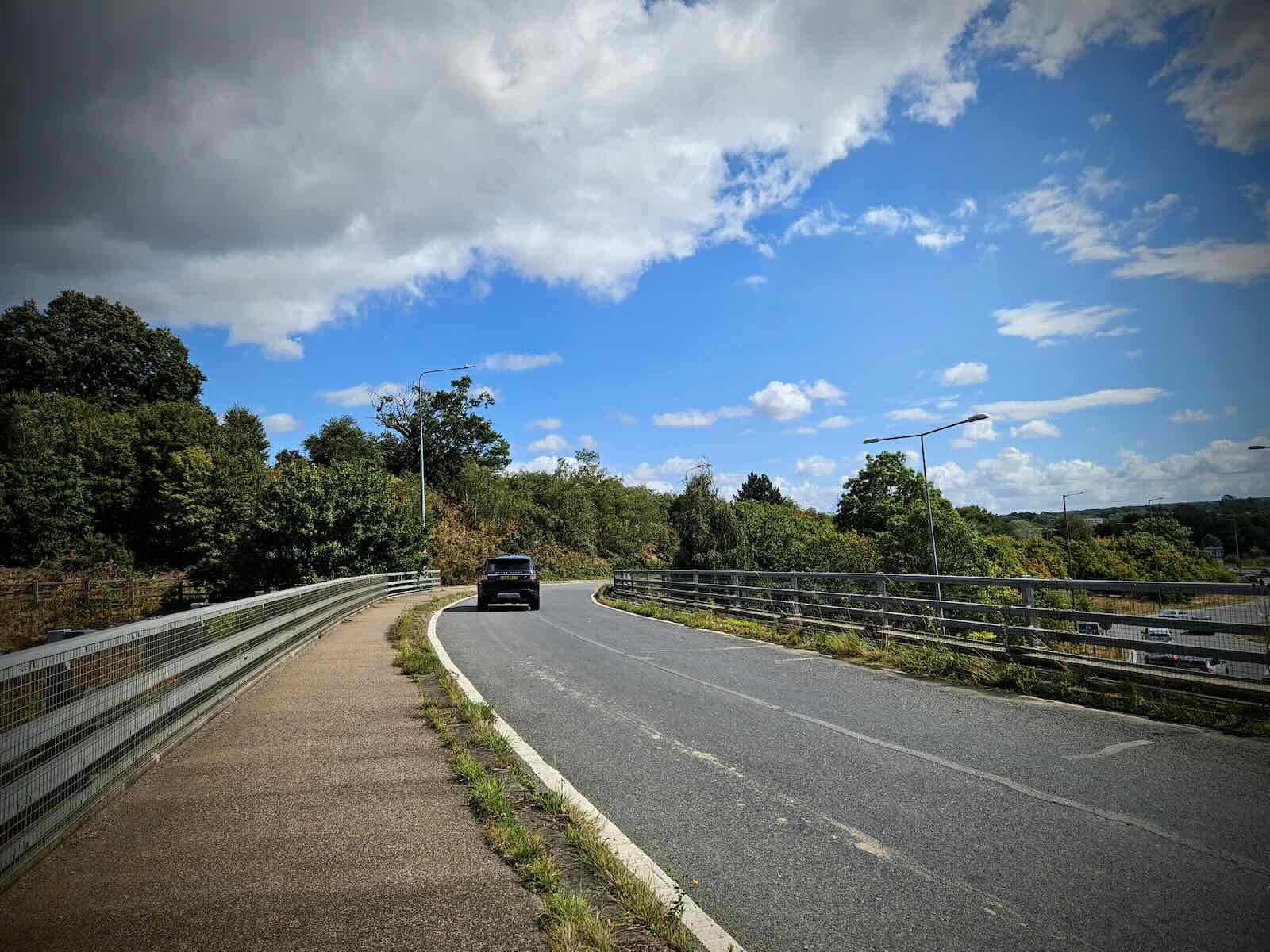
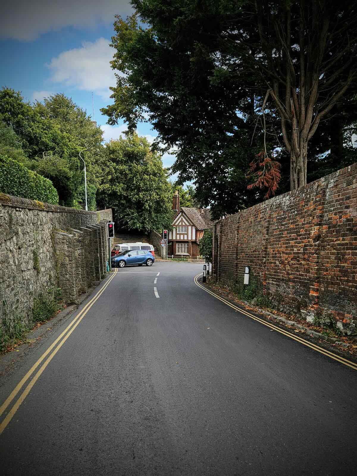
Having negotiated one of the awful roundabouts near the M20 junction, I left the A20 on Eyhorne Street and passed over the M20, heading for Hollingbourne. I was riding on the road now, so thankfully it was relatively quiet.
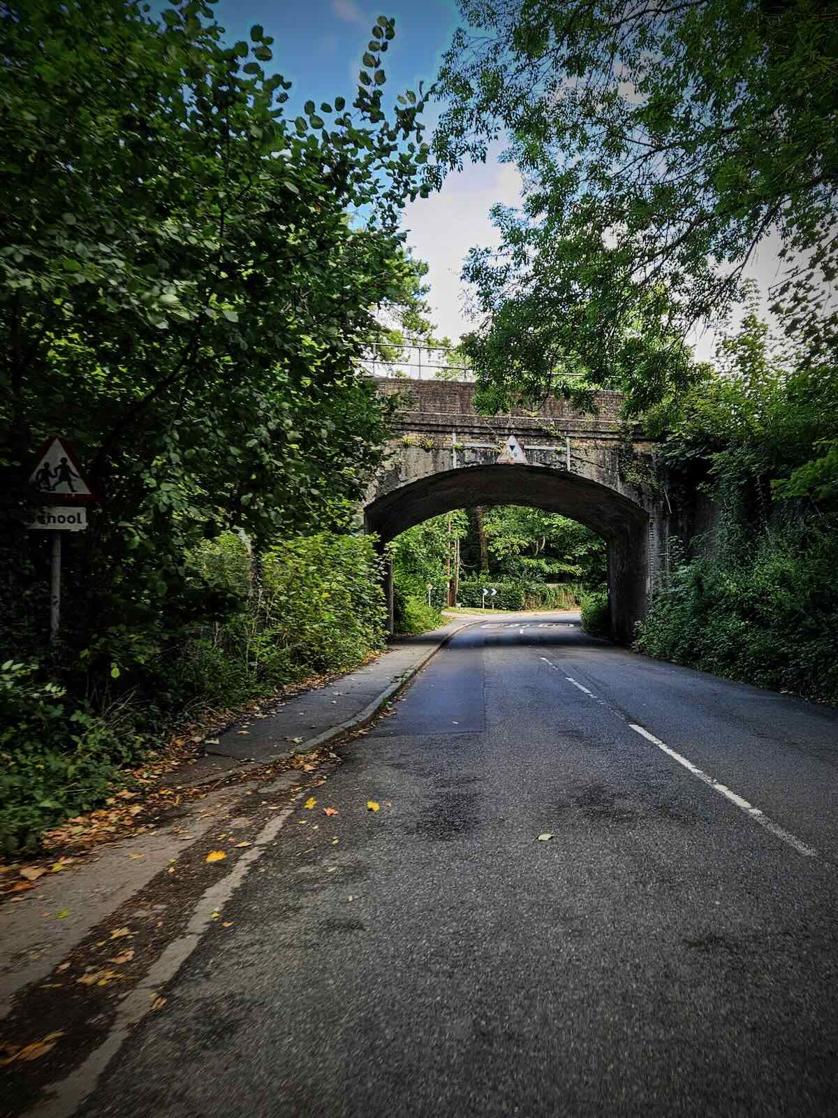
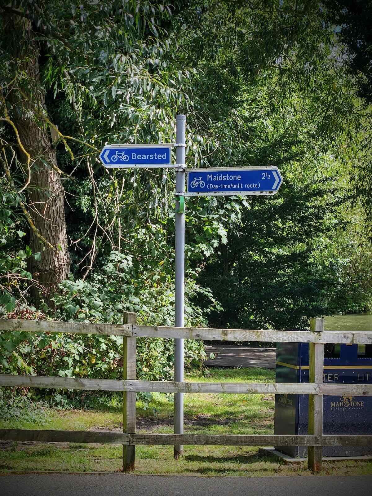
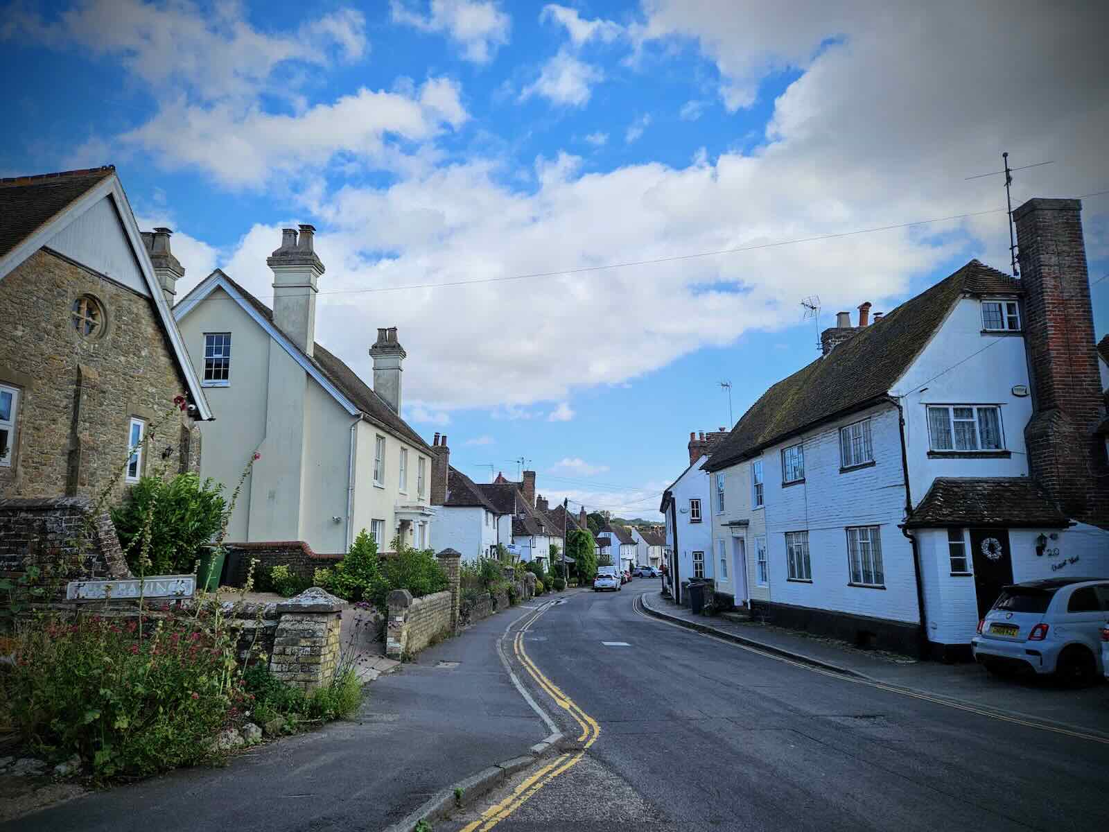
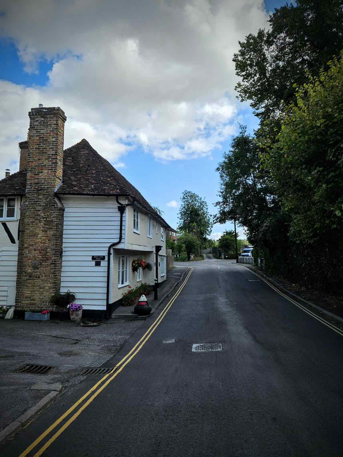
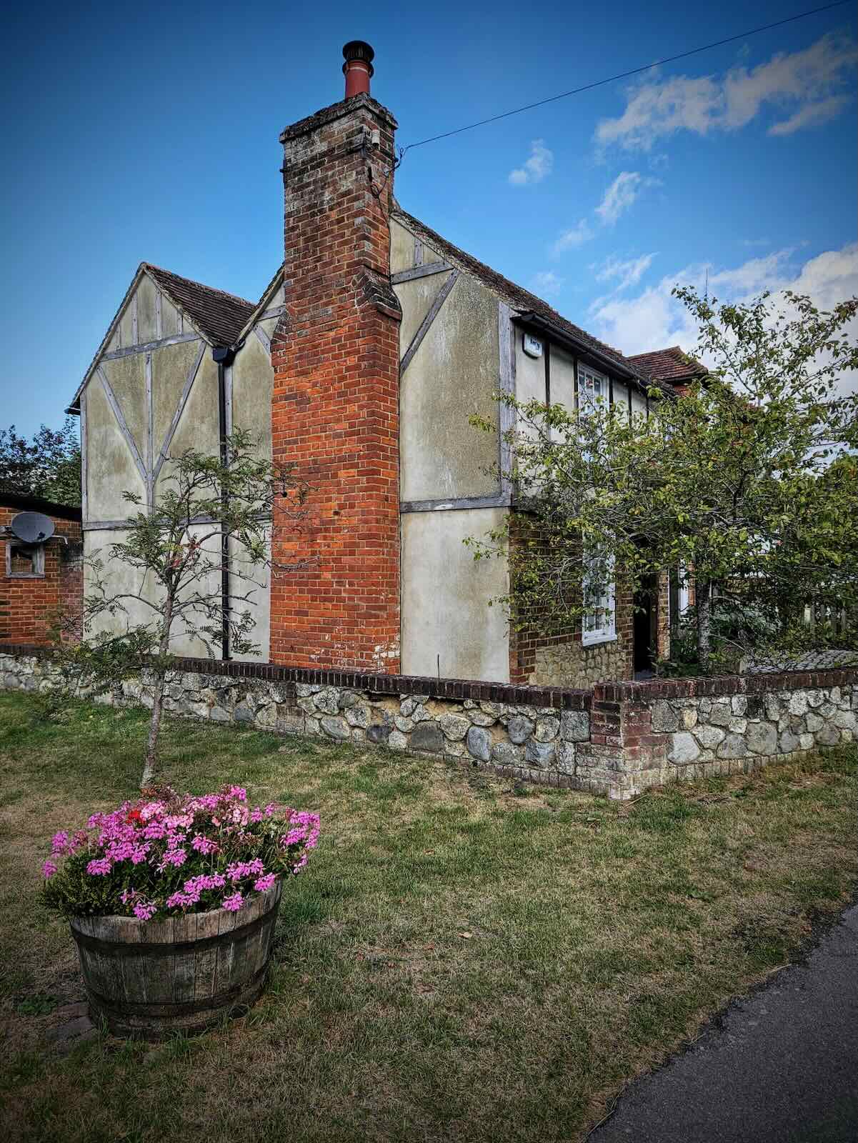
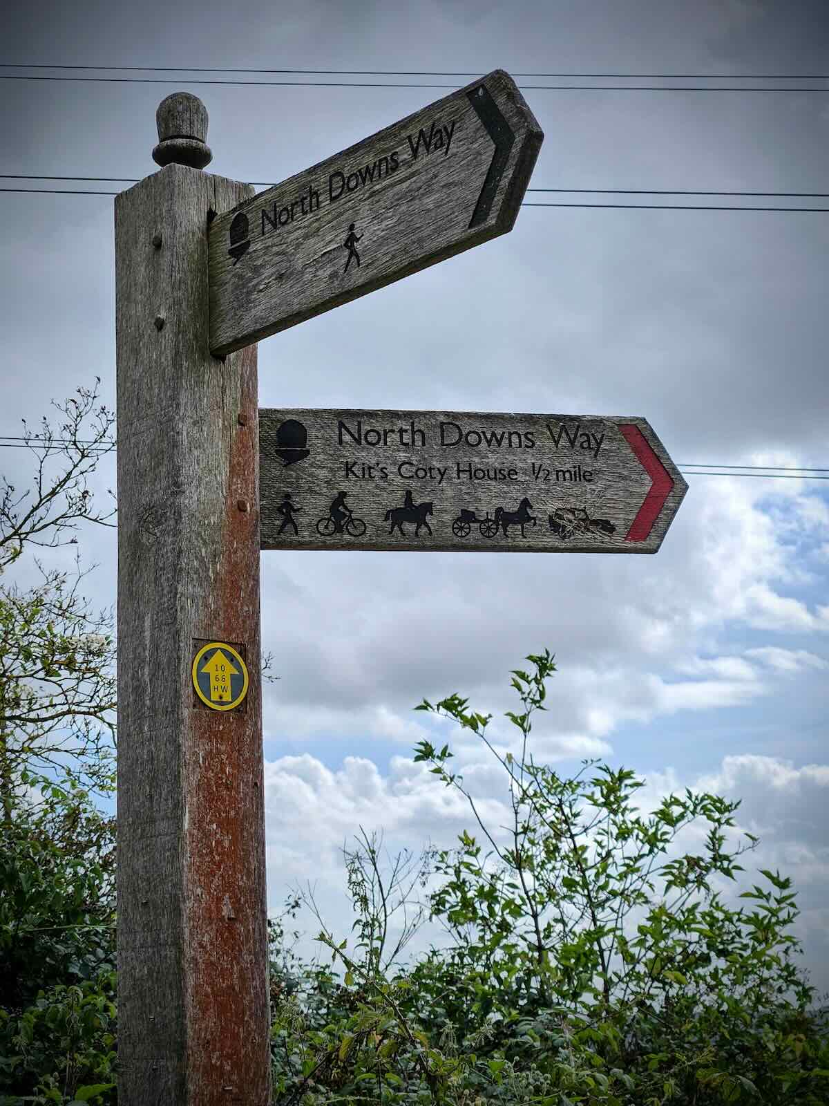
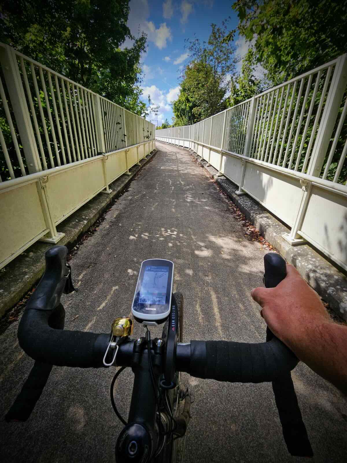
Passing through Hollingbourne, which is a lovely little village and surprisingly free of traffic, I made my way along Eyhorne Street, passing under the railway. It was a short distance further before I arrived at the Pilgrims’ Way, where I turned left off Upper Street.
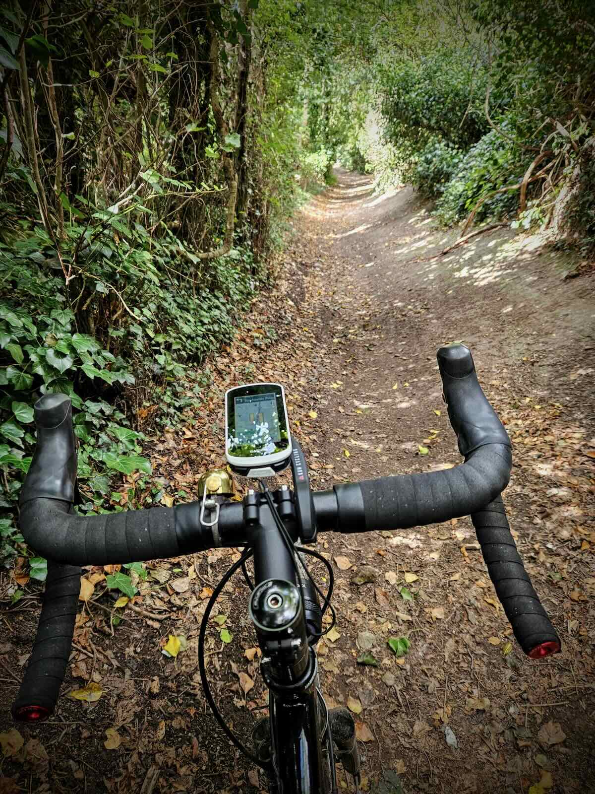
For those that may not know, the Pilgrims’ Way is an ancient trail stretching some 150 miles across Hampshire, Surrey and Kent. It was supposedly the route taken by pilgrims from Winchester to the shrine of Thomas Becket at Canterbury. The trail consists of both asphalt roads with motor traffic and traffic-free gravel paths.
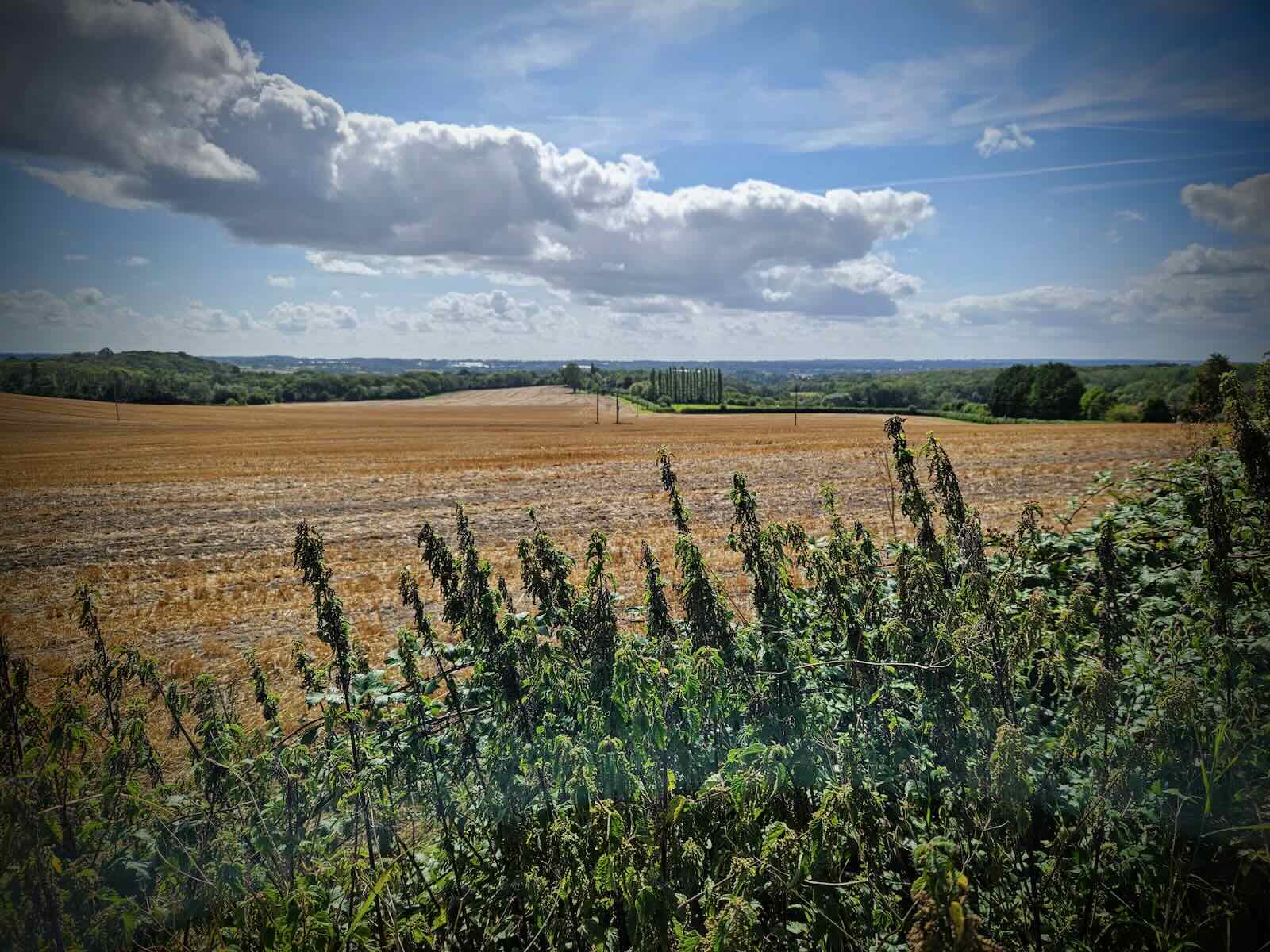
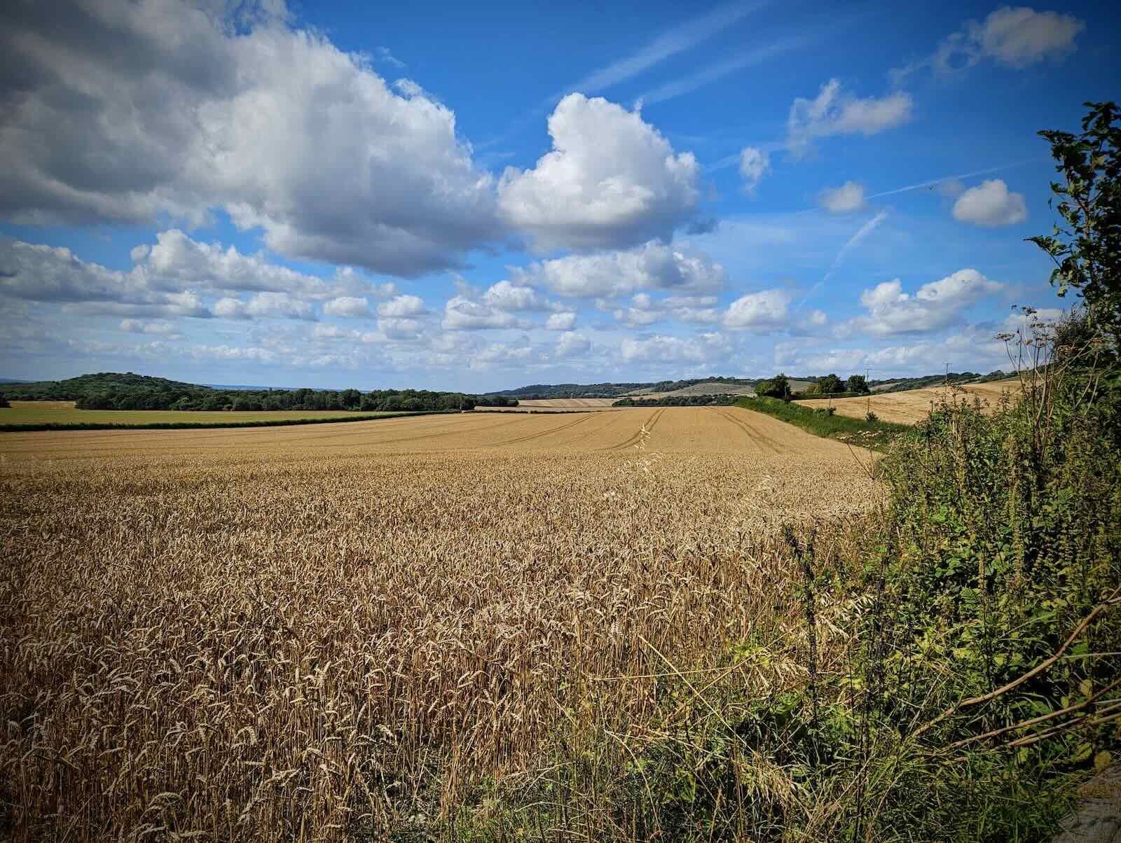
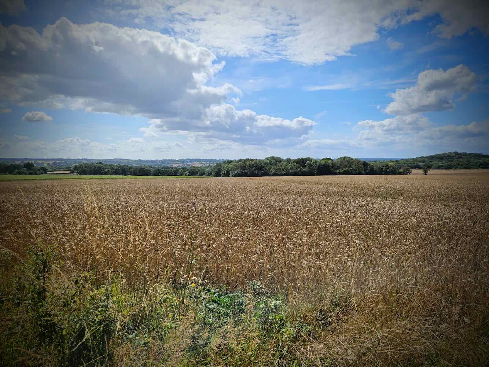
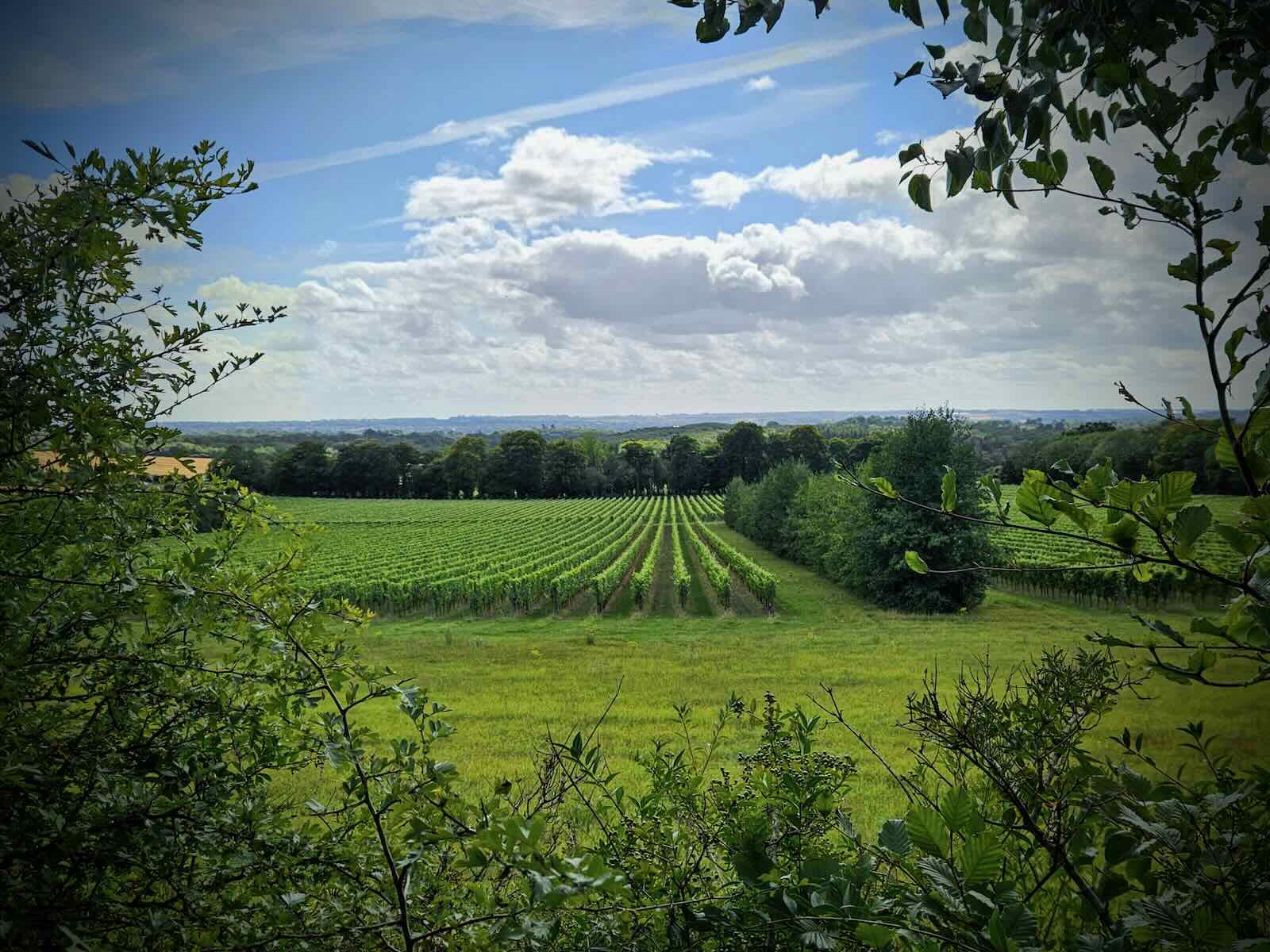
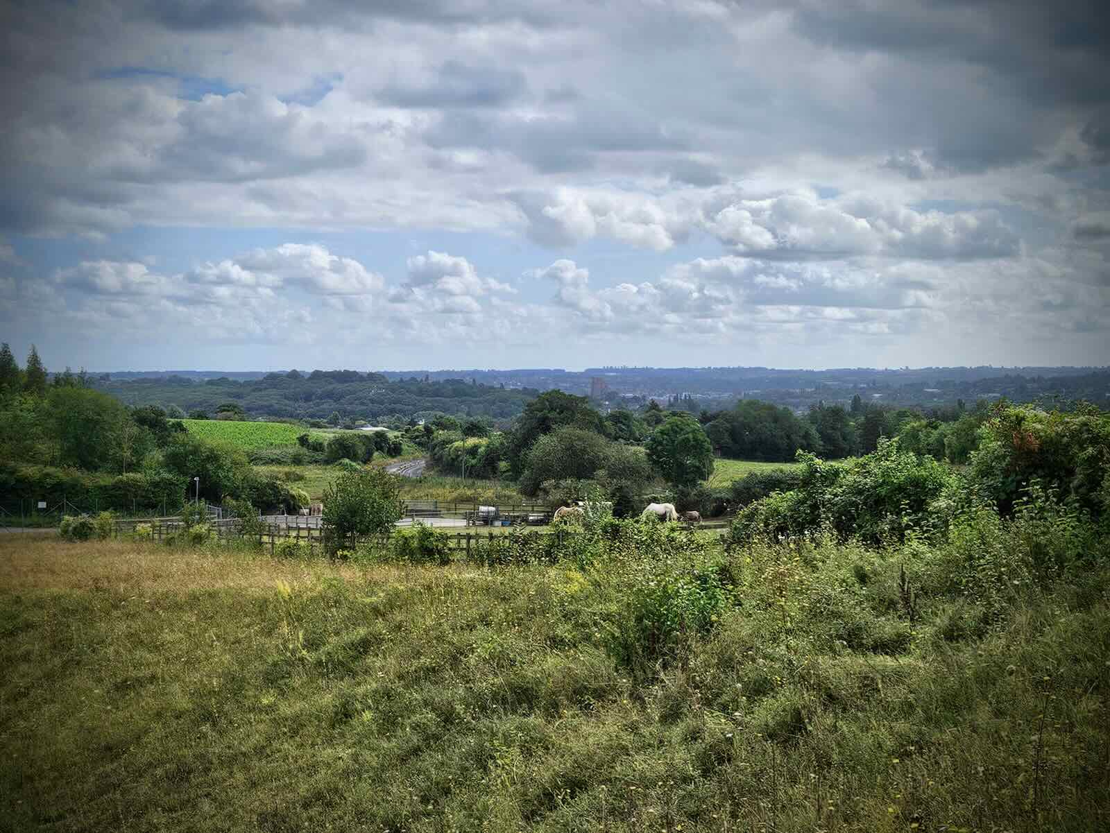
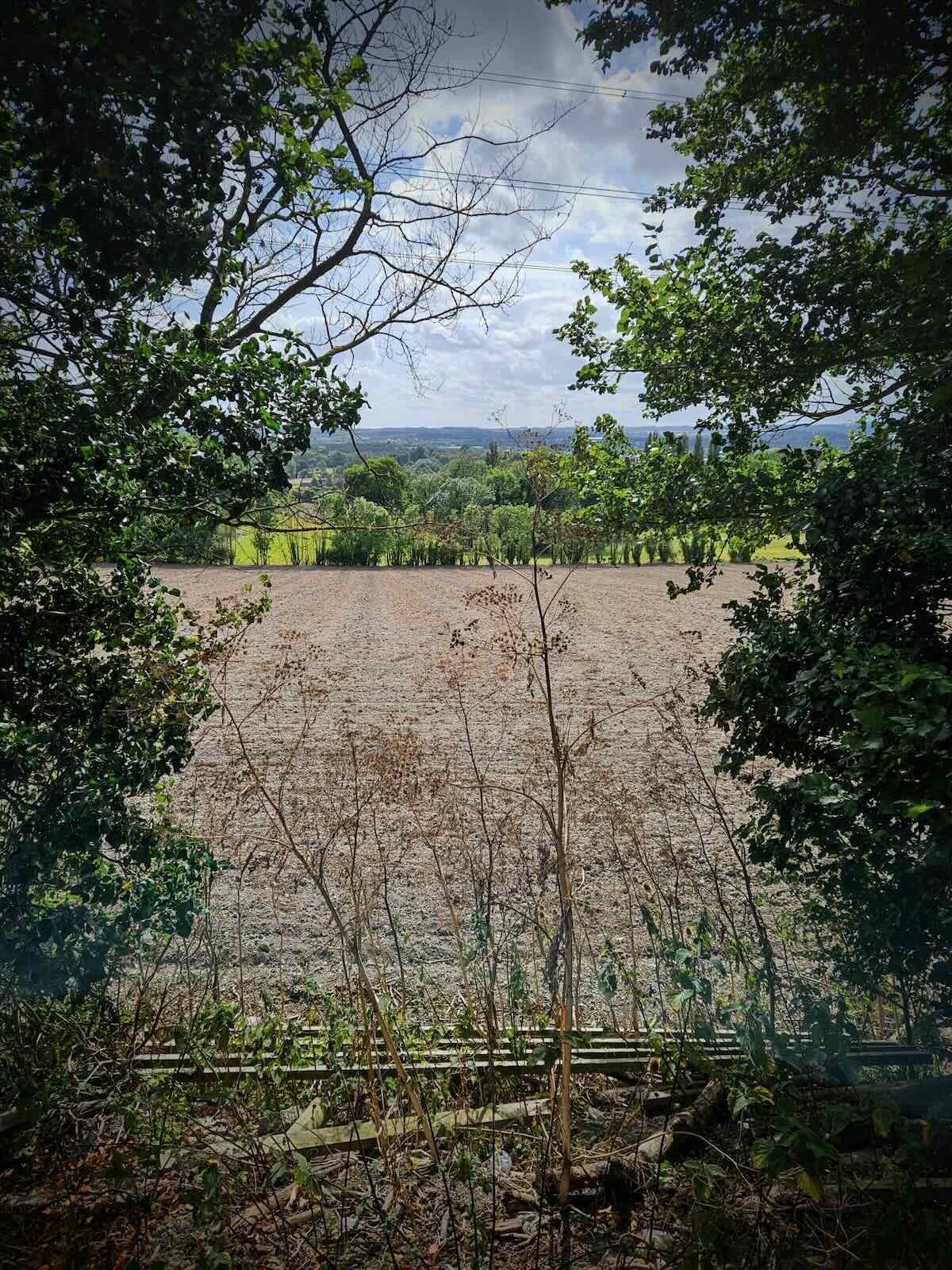
Taking in the North Downs, an Area of Outstanding Natural Beauty (AONB), there’s some pretty stunning views as I made my the along. This slowed me down a little, as I felt the need to keep stopping to take photos!
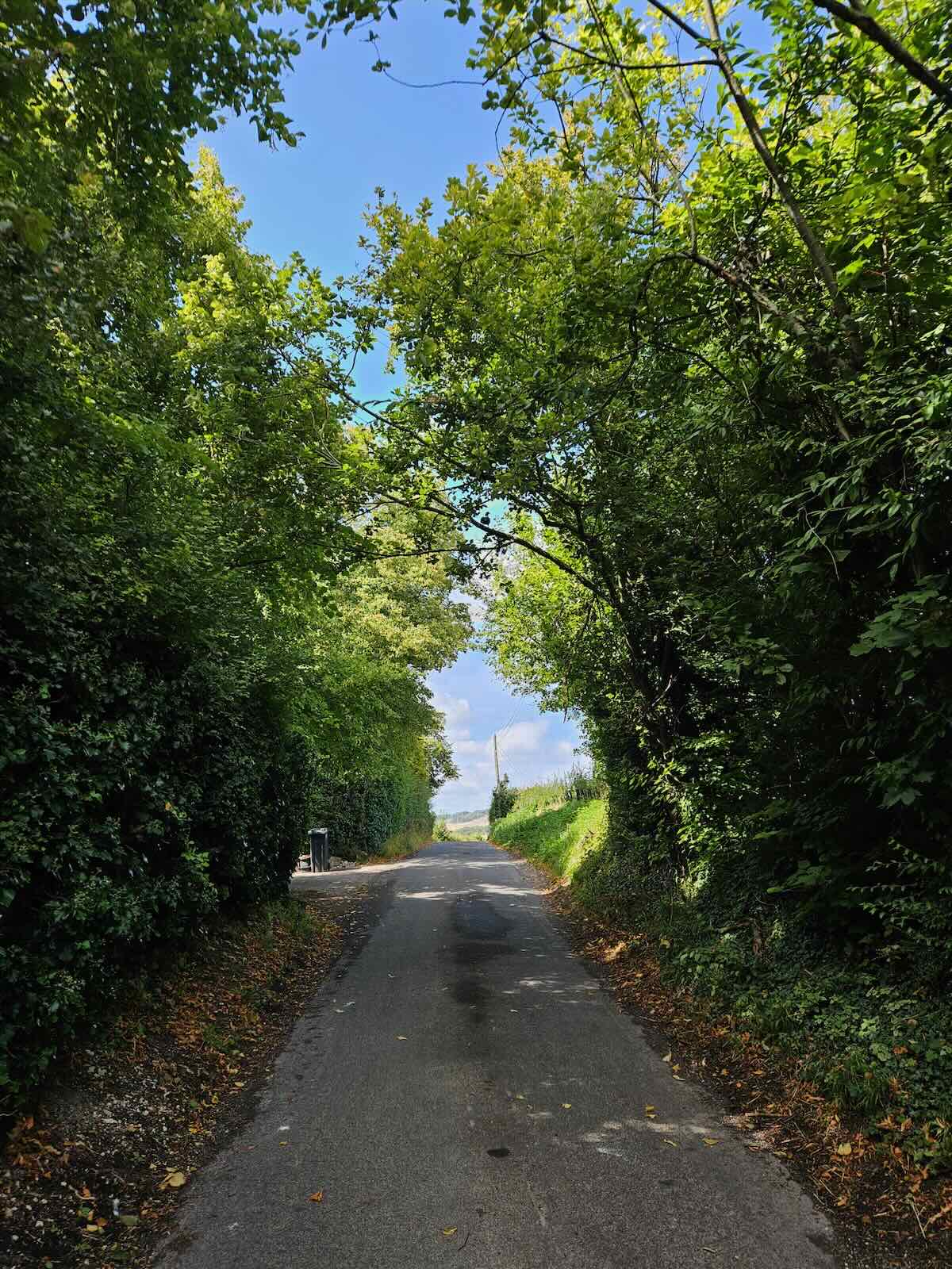
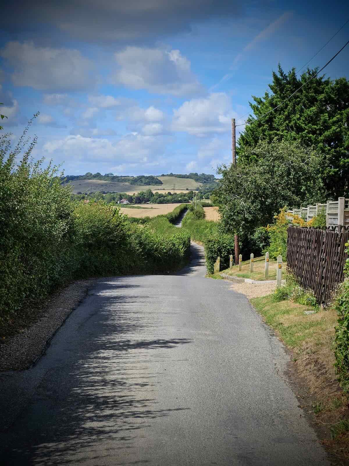
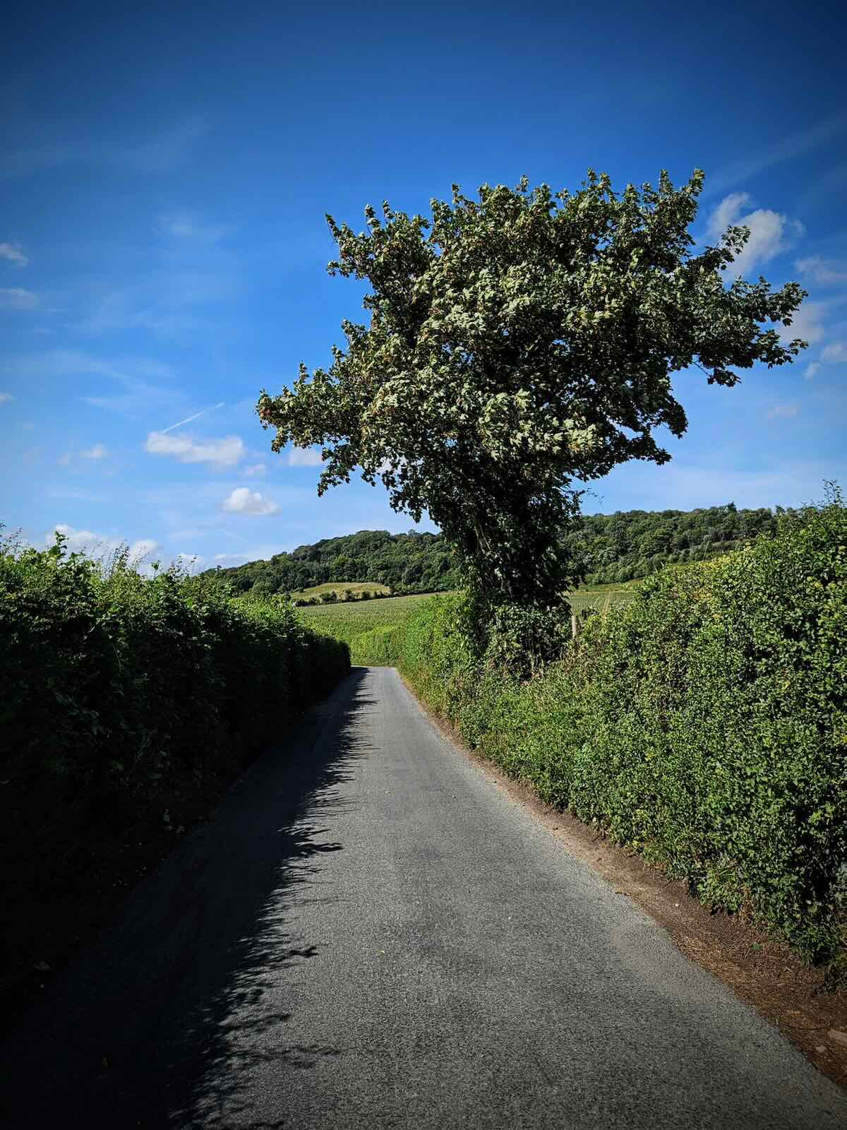
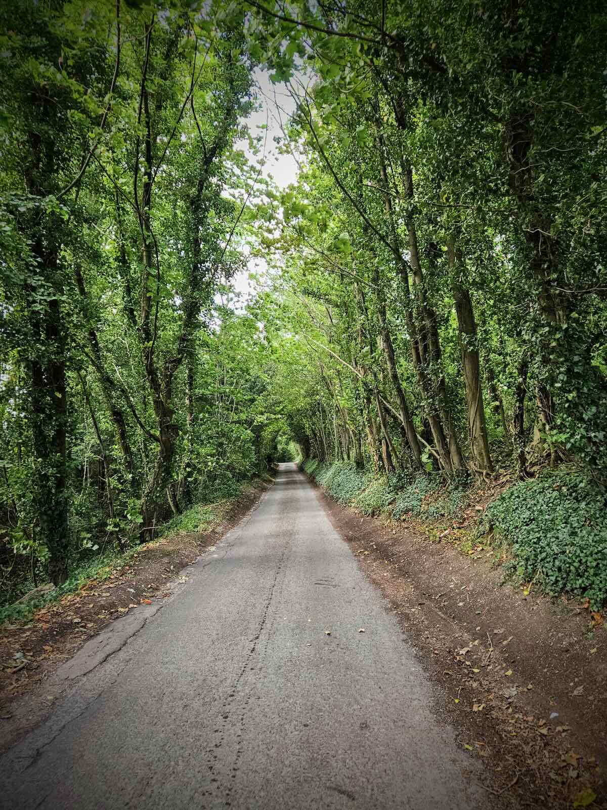
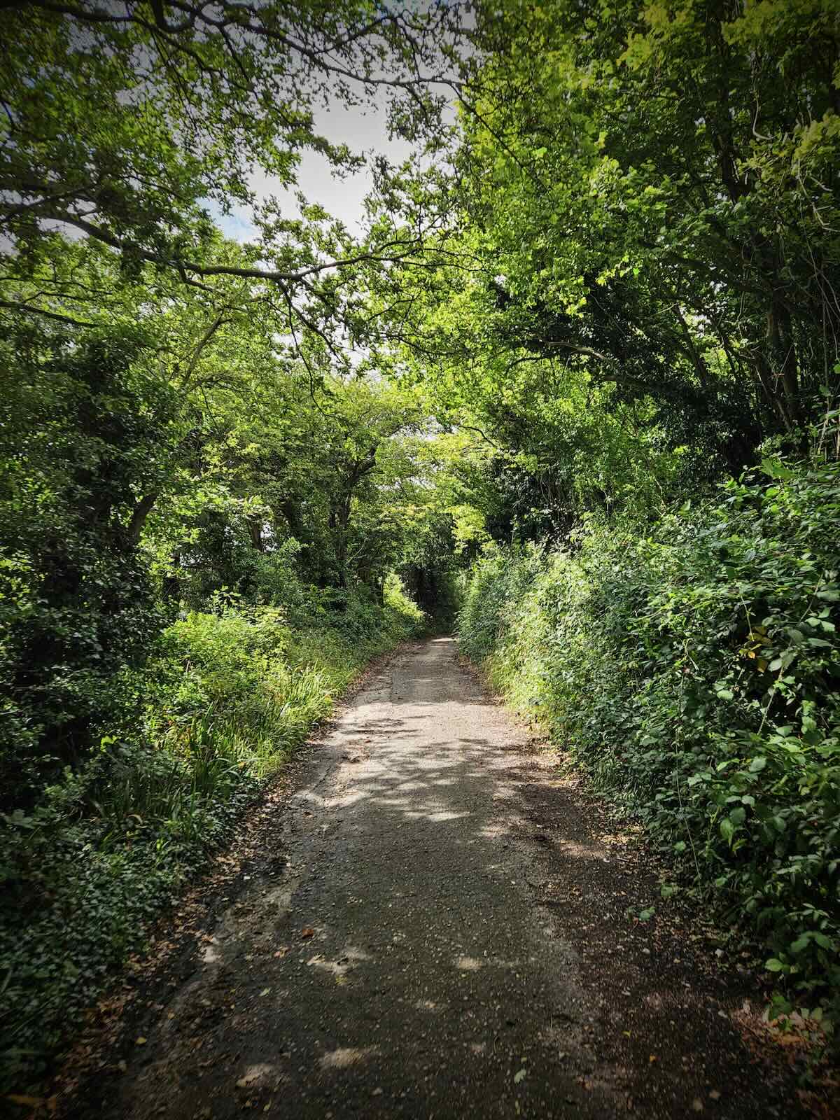
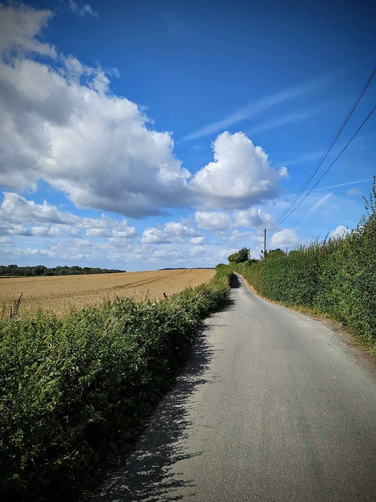
At this point, the Pilgrims’ Way was along a narrow asphalt road, with thankfully very little traffic and more people walking than anything else. In the day’s sunshine, it was a very pleasant place to ride.
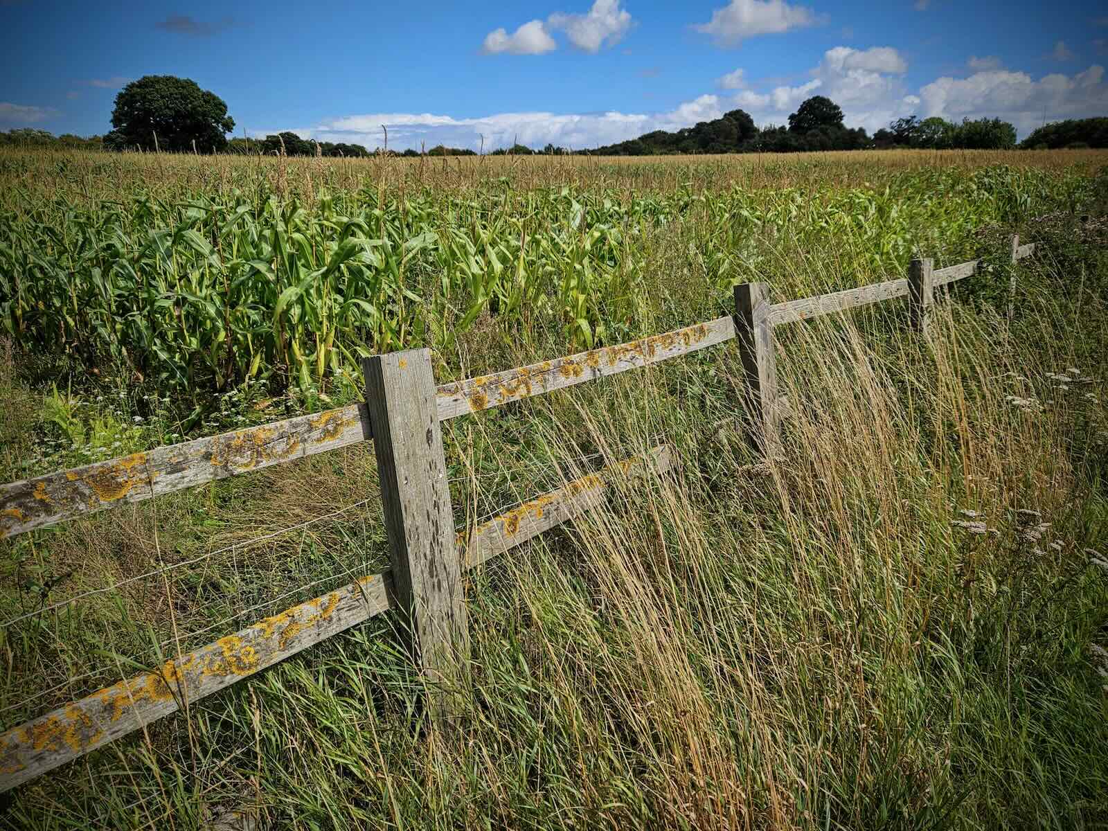
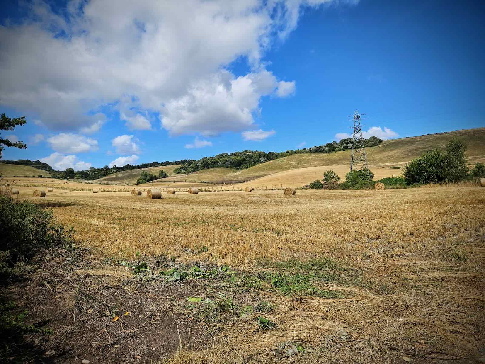
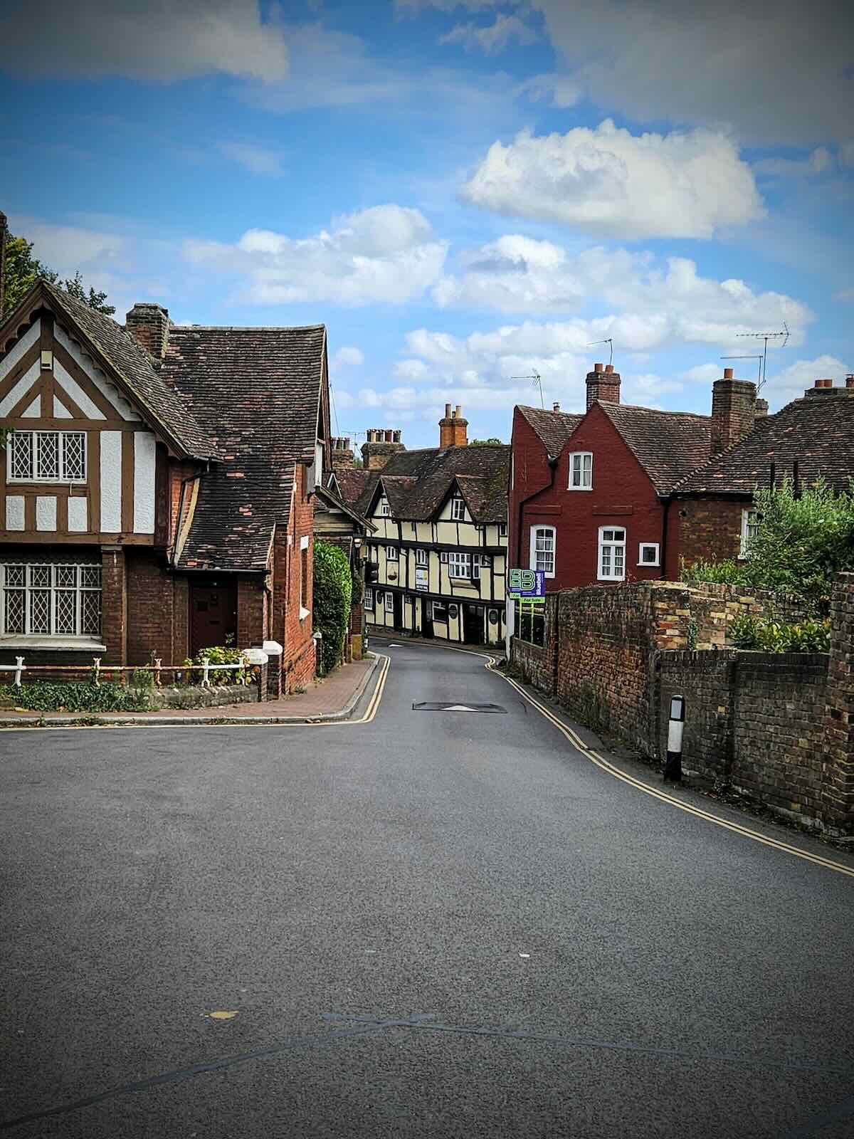
I carried on along the Pilgrims’ Way, passing through lots of agricultural land and going up and down the odd hill. It wasn’t long before I arrived at the village of Detling, where I needed to turn right to continue along the route.
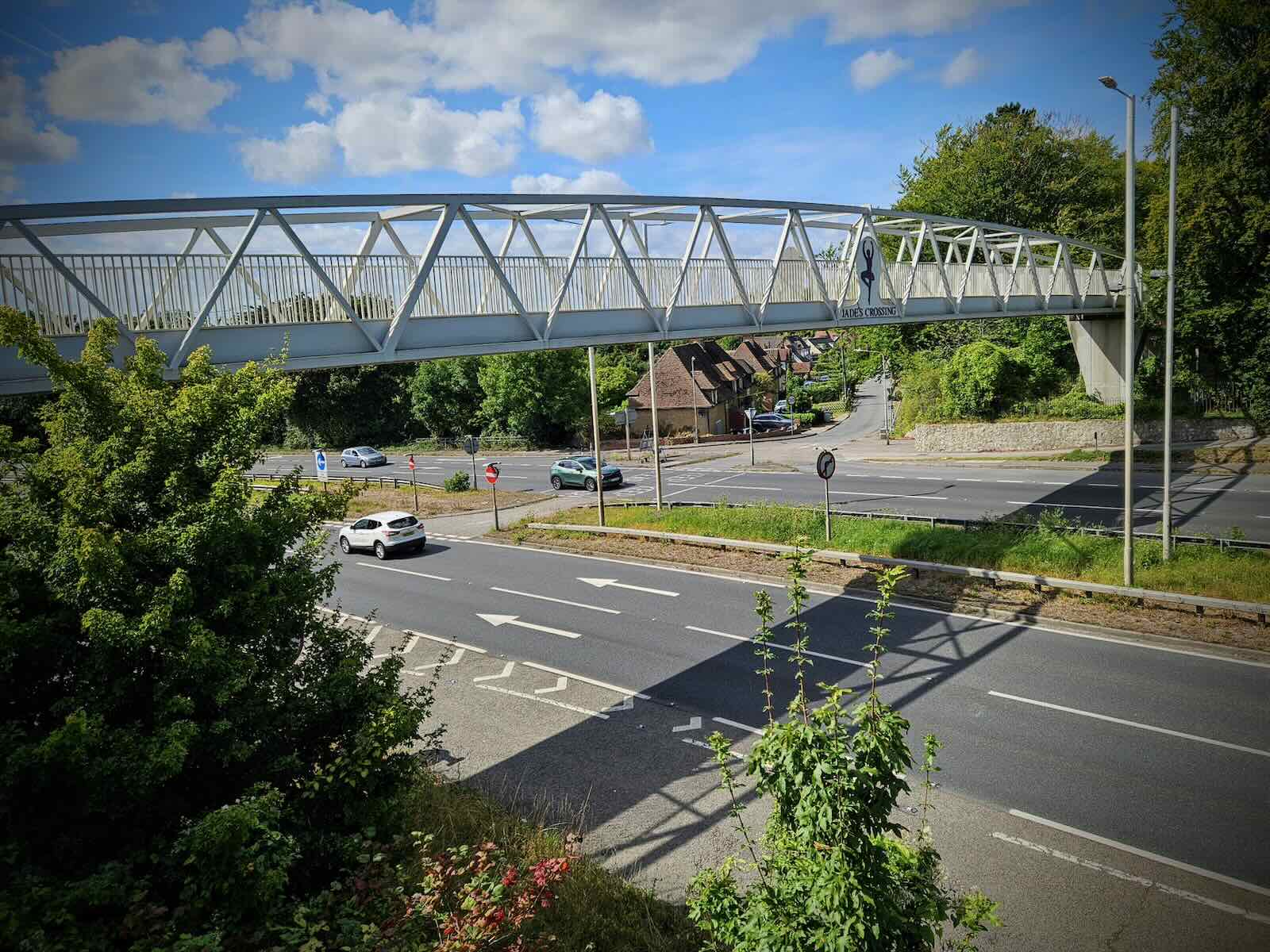
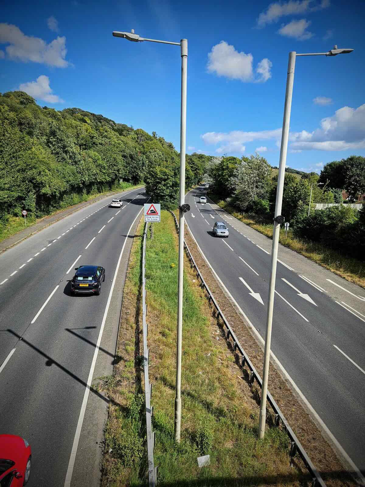
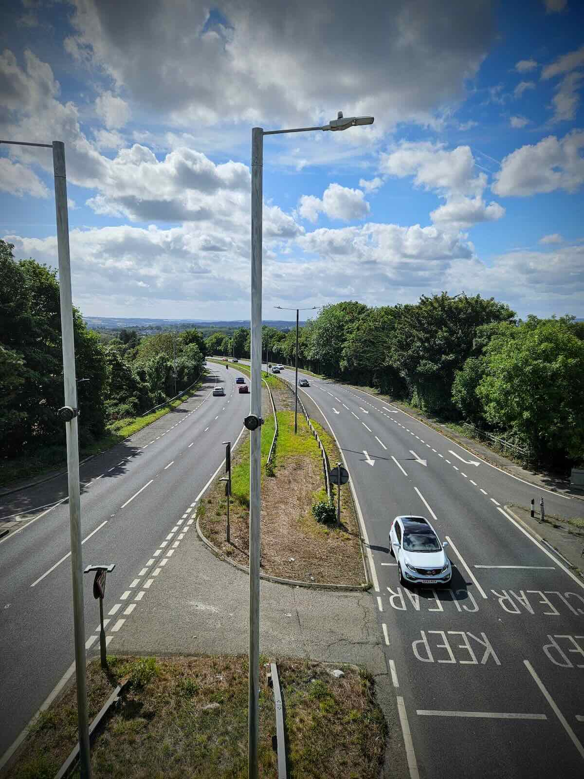
In Detling, the Pilgrims’ Way crosses the A249, a major dual carriageway, connecting the M20 and M2 motorways. It’s here that I found out about the sad story of Jade Hobbs, an 8 year child, who was killed crossing the road with her grandmother and the footbridge built, that was named after her.
At the time, there was no safe way of crossing the busy A249, forcing people to take their chances getting across four lanes of speeding traffic. Sadly for Jade and her grandmother, on the 16 December 2000, while out to do some Christmas shopping, they didn’t make it.
After their deaths, Jade’s family campaigned for a safe crossing, saying that not only was it a question of safety, but also quality of life, with children prevented from walking to the local school or village hall unaccompanied, due to the dangerous road.
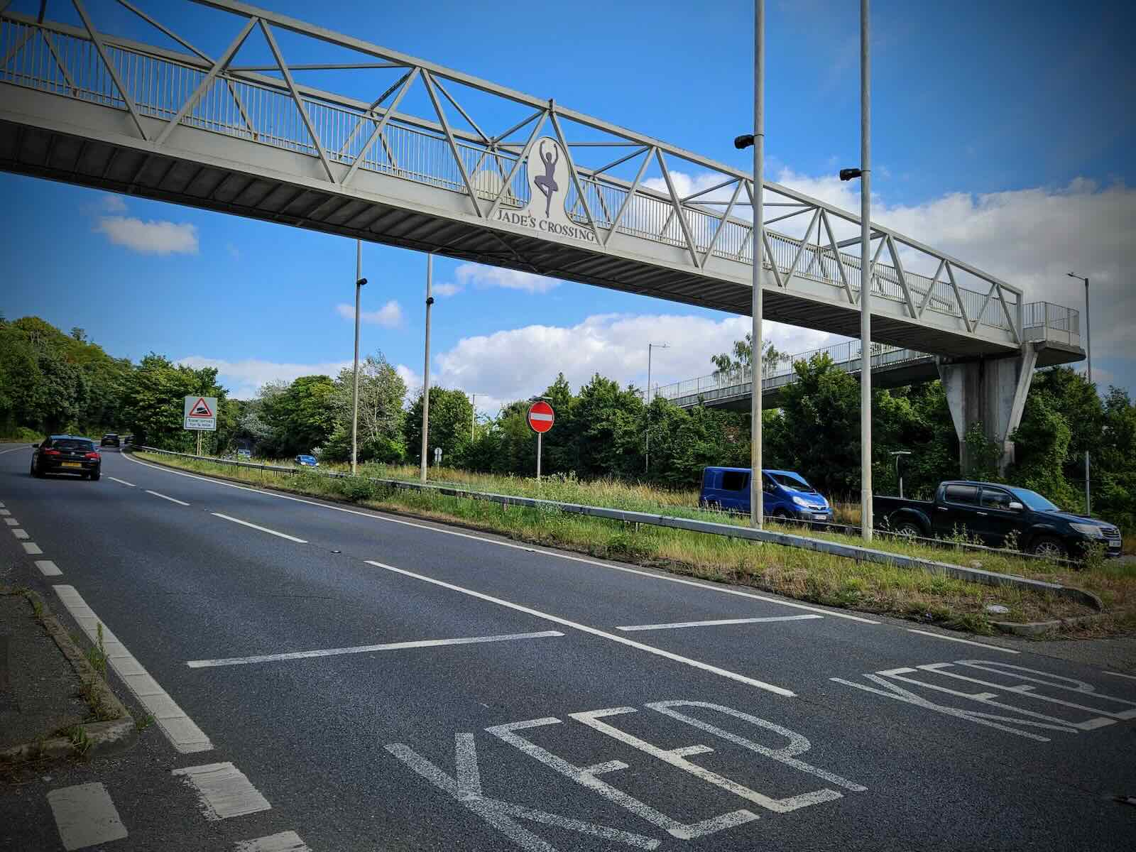
Shamefully, Kent County Council refused to build a footbridge on cost grounds, choosing to fit speed cameras instead. It was only when the Hobbs family set up a charity for donations, raising £75,000 towards constructing the footbridge, that the council acted.
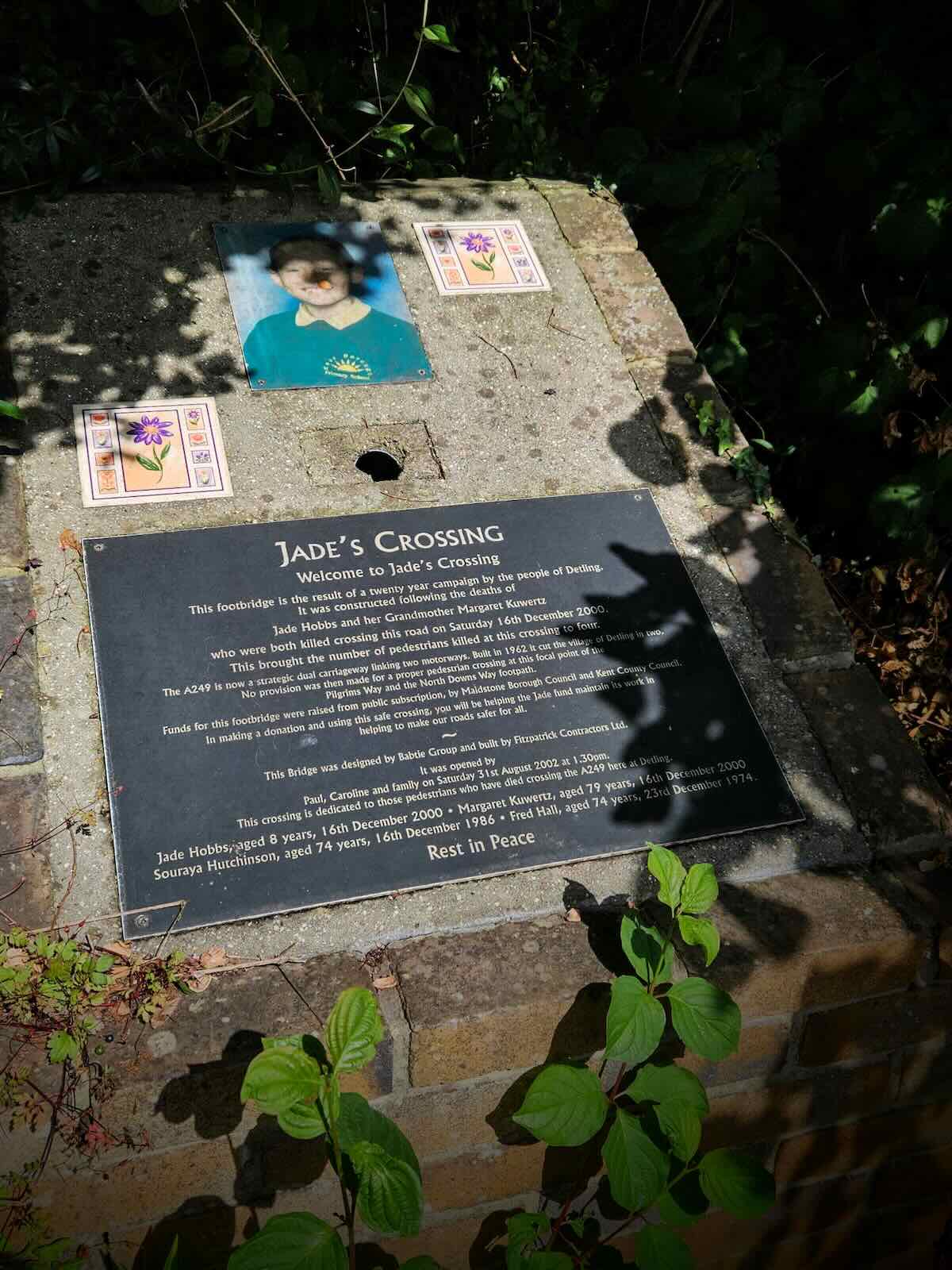
In 2002, Jade’s crossing was built, featuring a ballerina silhouette, based on one of Jade’s favourite hobbies. Finally, there was a safe way to cross the A249.
There’s a plaque near the crossing that tells the story of the bridge, commemorating Jade and other fatal casualties that have occurred on the A249. I would say it’s shameful that people have to die before councils act. But in the case of Jade Hobbs, Kent County Council didn’t even act then. I have no words for this.
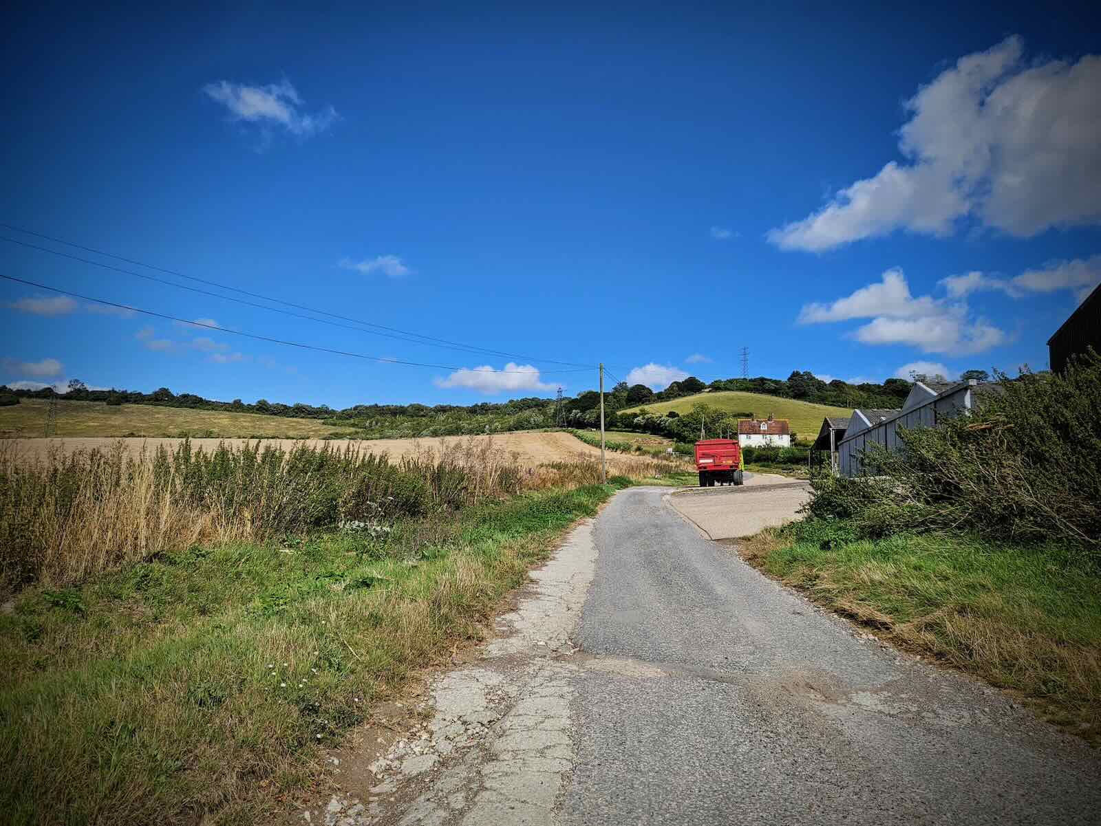
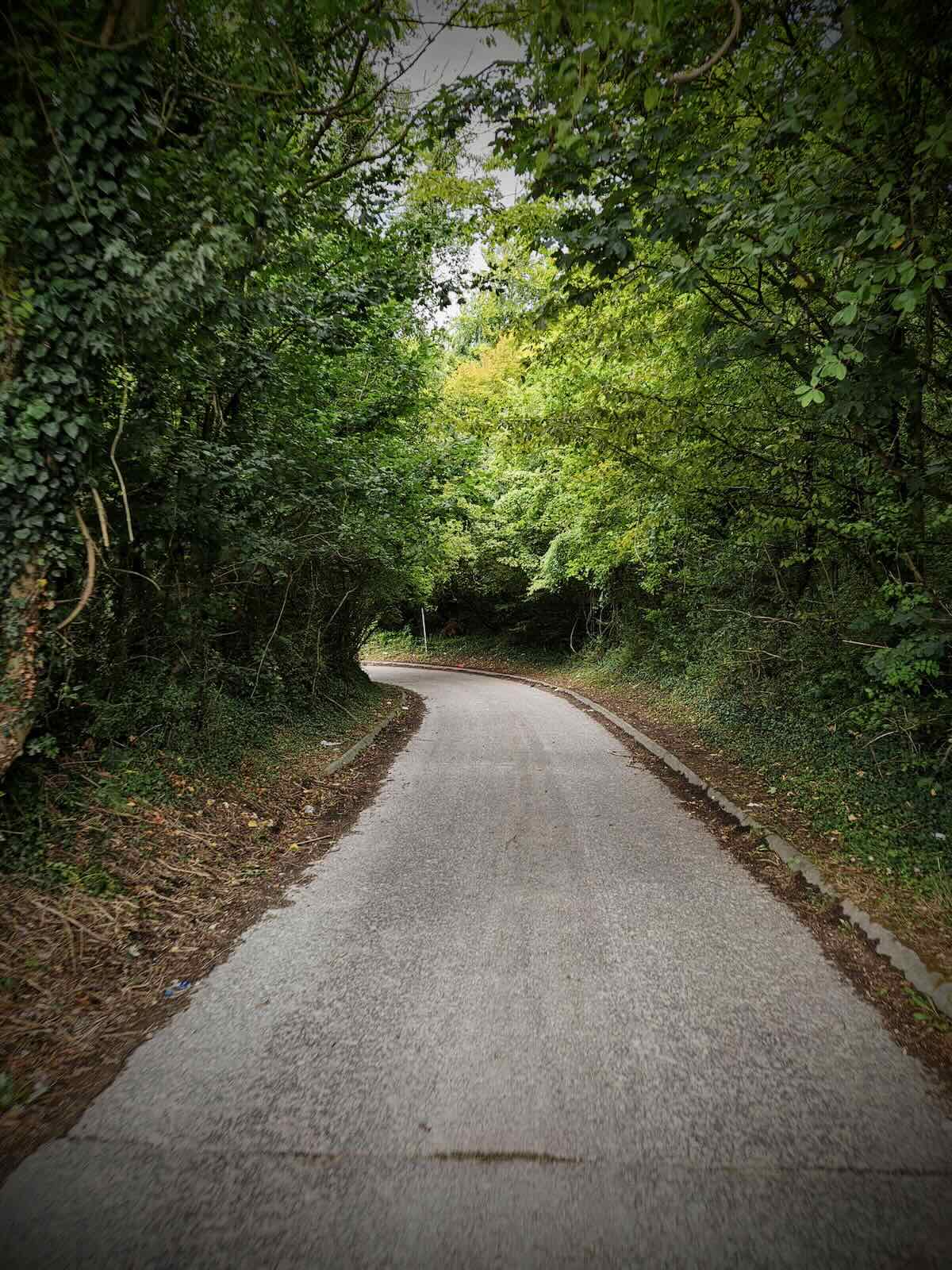
After safely crossing the A249 on Jade’s Crossing, I continued along the Pilgrims’ Way, into The Larches. This was another narrow asphalt road, but with more traffic than on the other side of Detling.
Along here, I managed to get stuck behind a car, with multiple cars coming the other way having to reverse. With so many roads like this surrounding Maidstone, it’s a common occurrence.
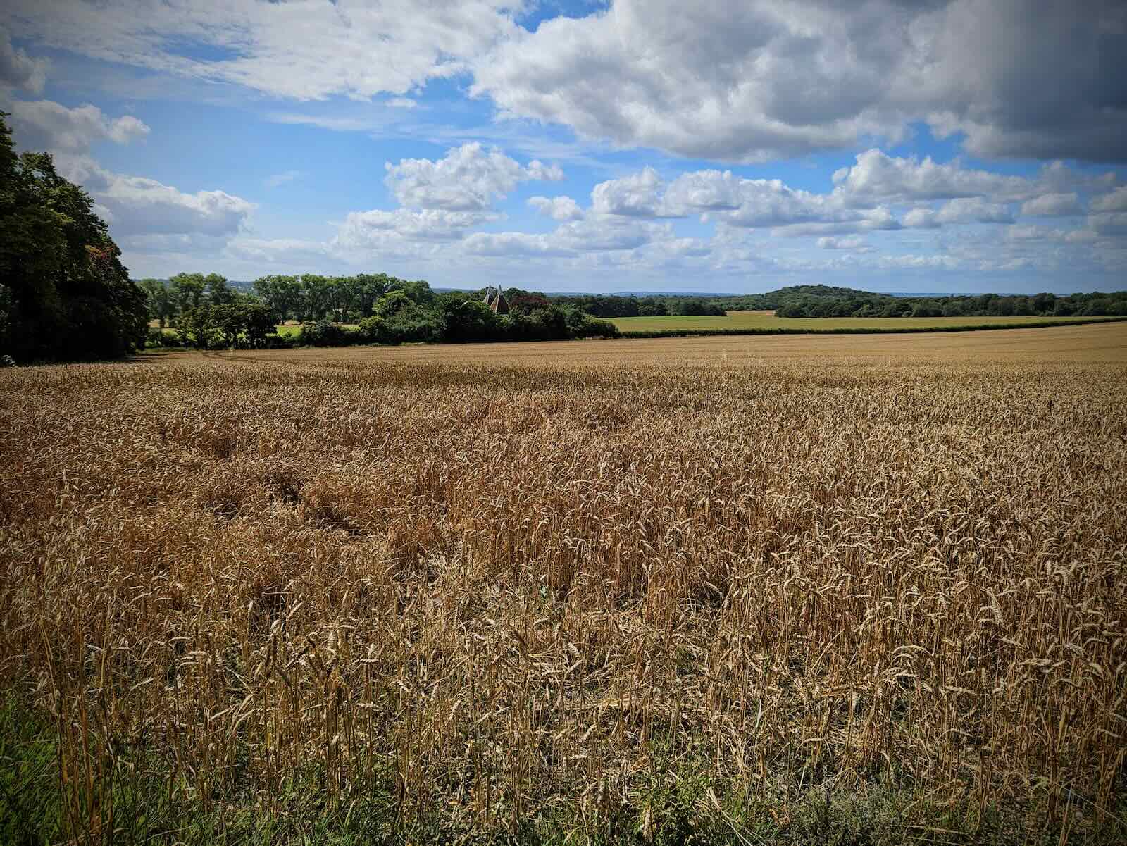
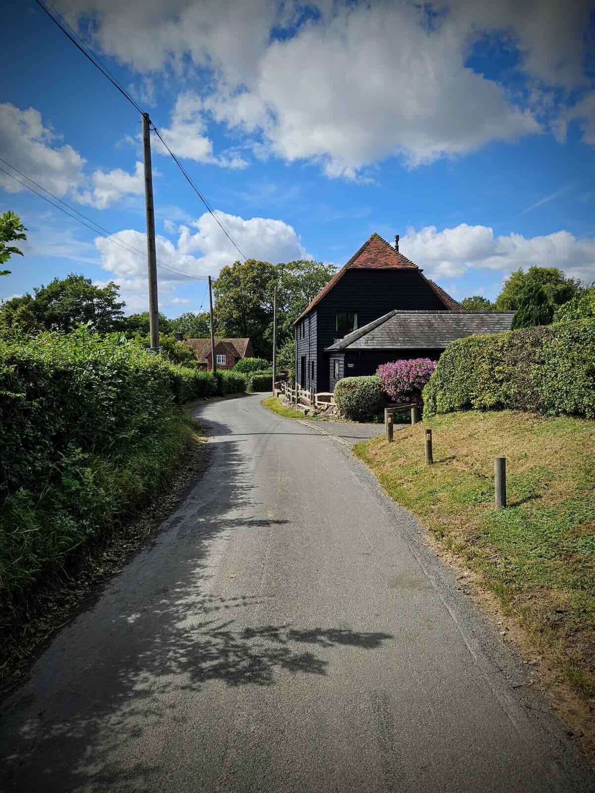
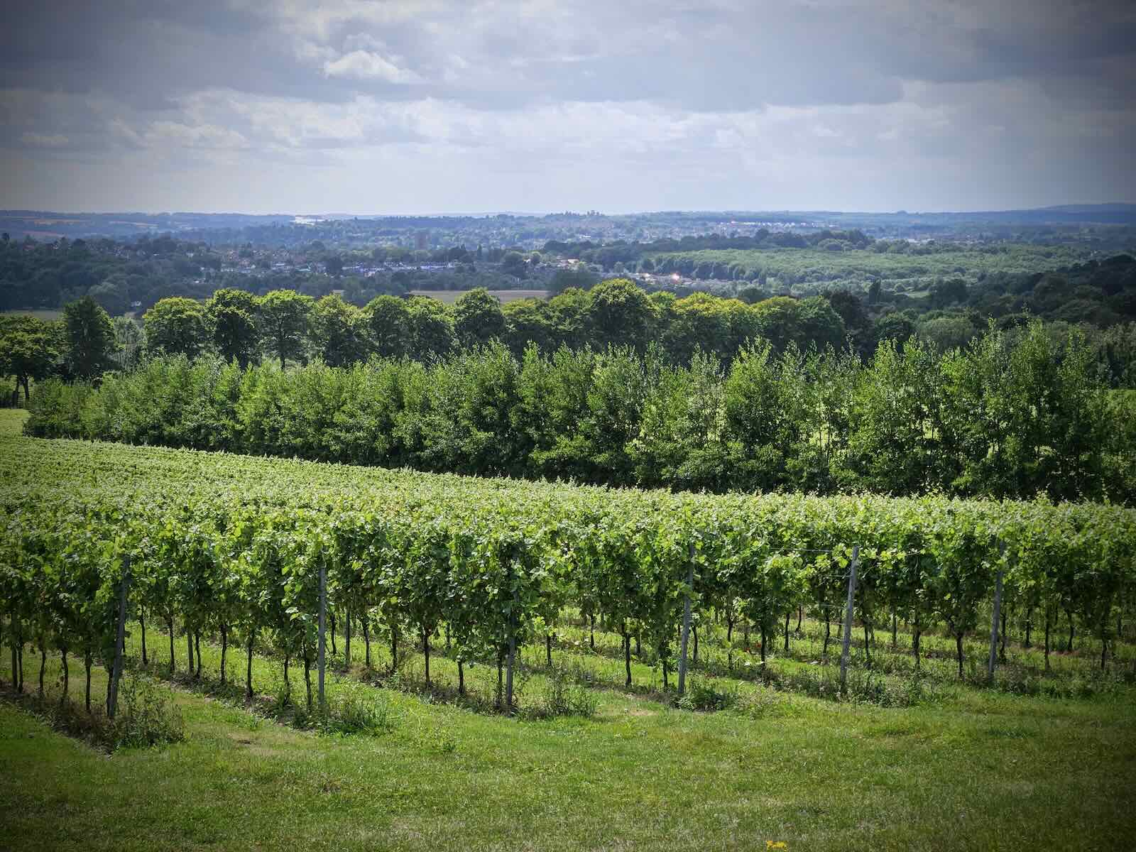
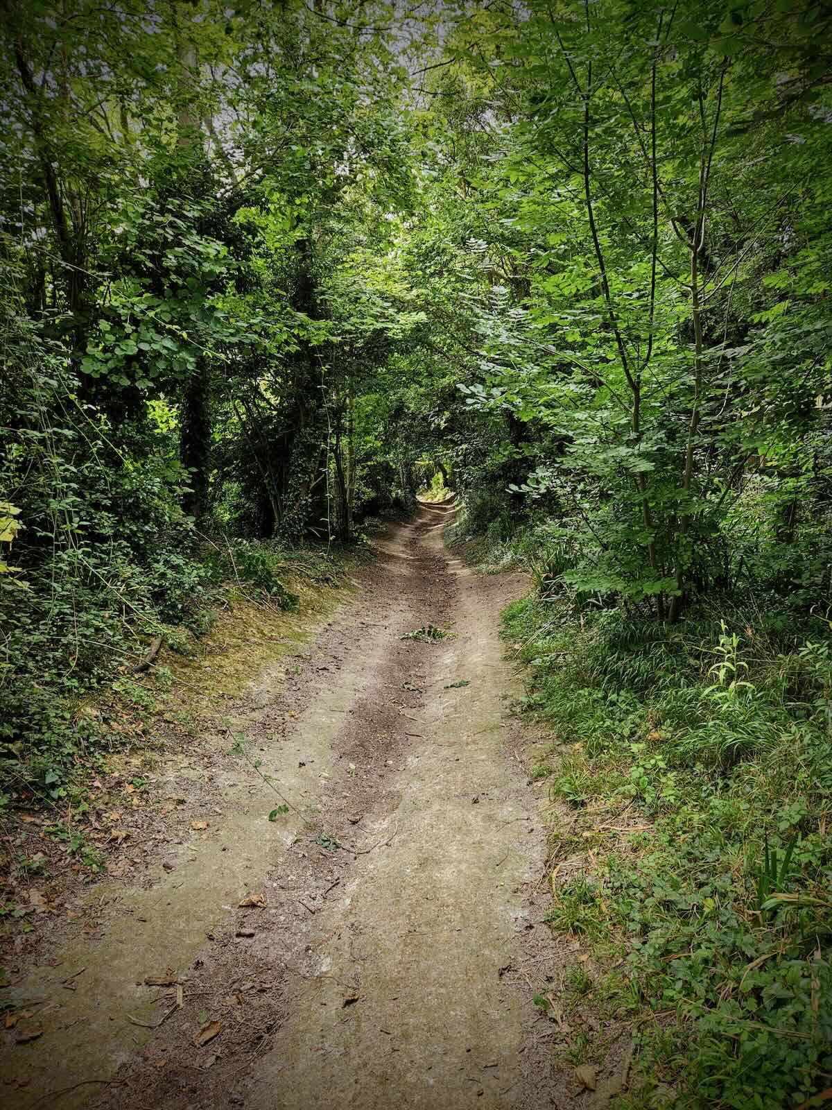
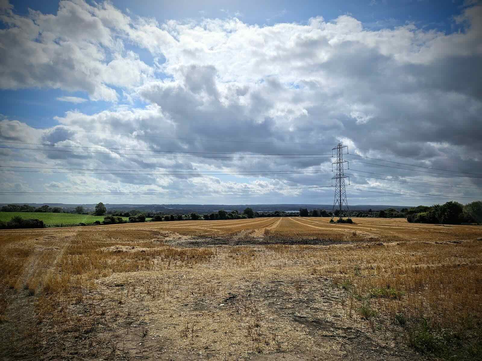
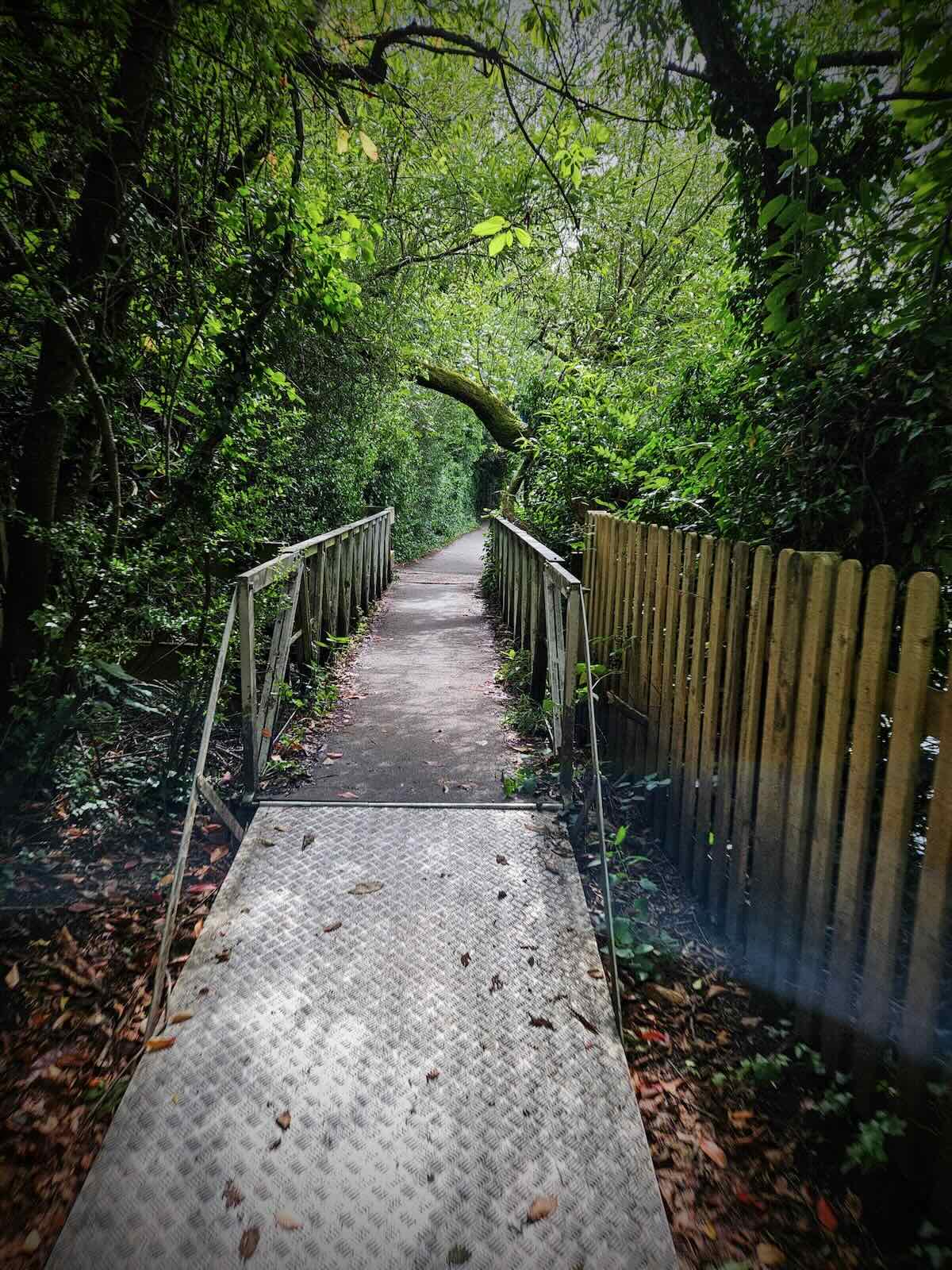
Once past the cars blocking the road, I continued along the Pilgrims’ Way and so did the fantastic views. A little further from there, the trail left the road and headed along a gravel path, which descended towards a bridge.
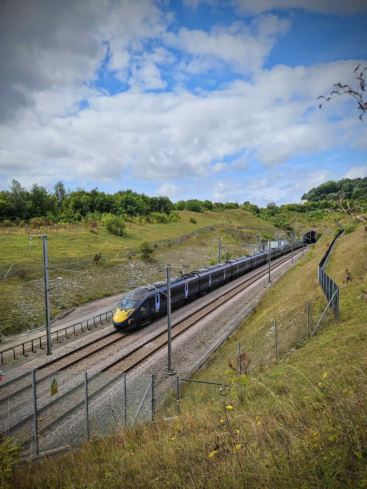
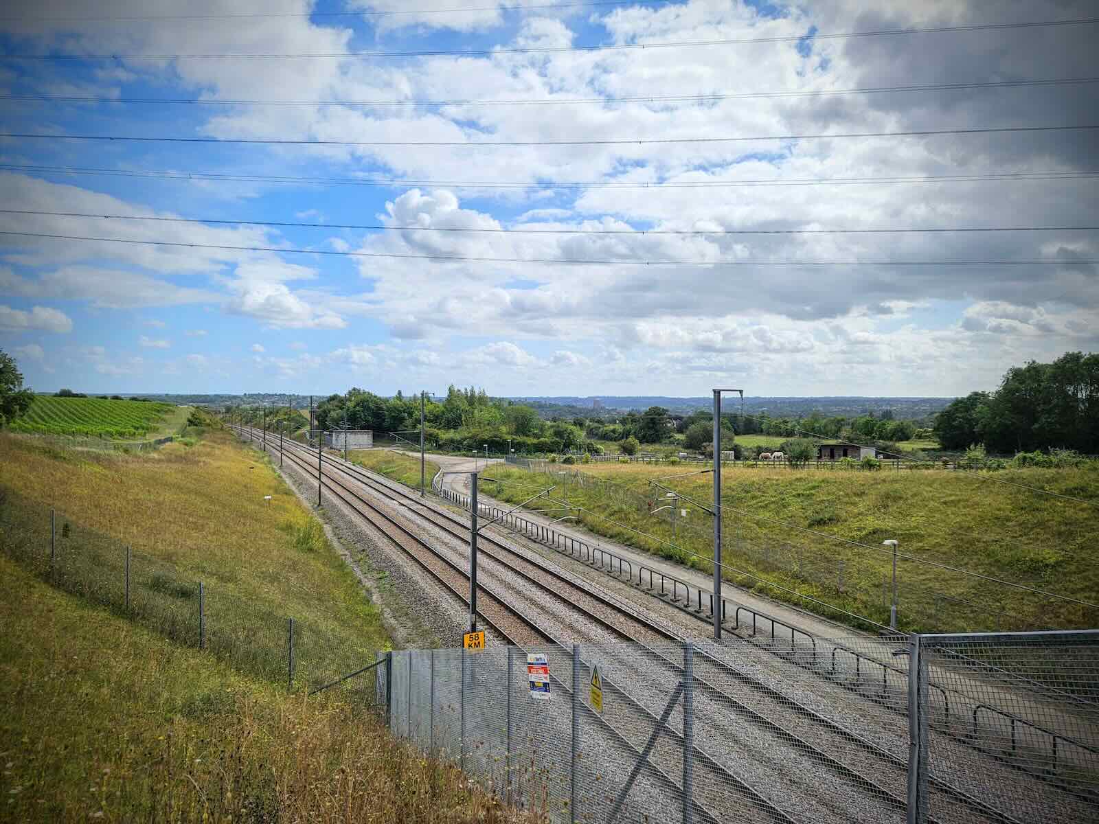
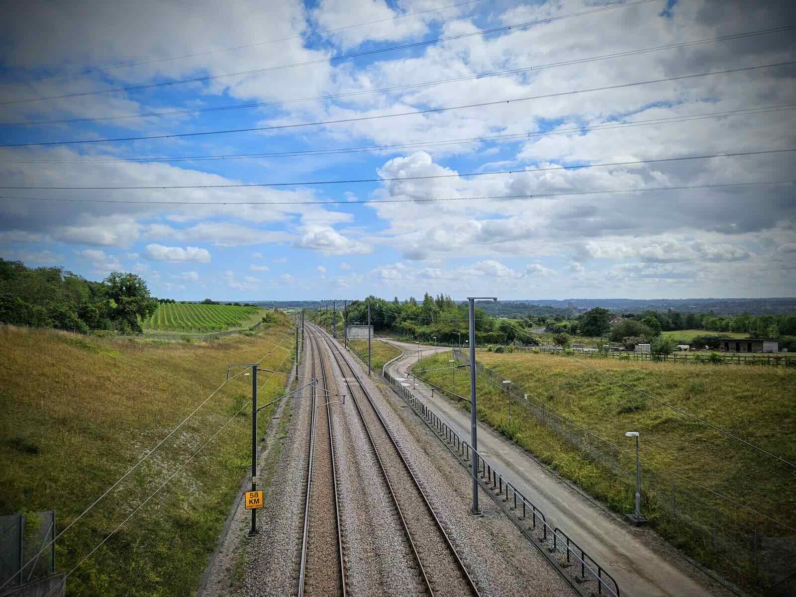
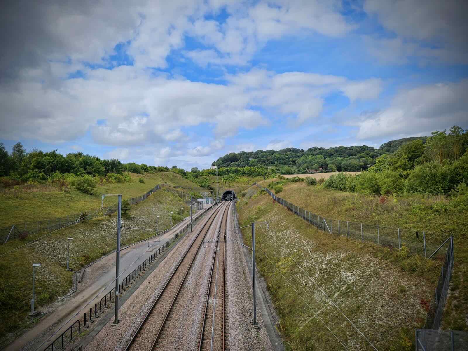
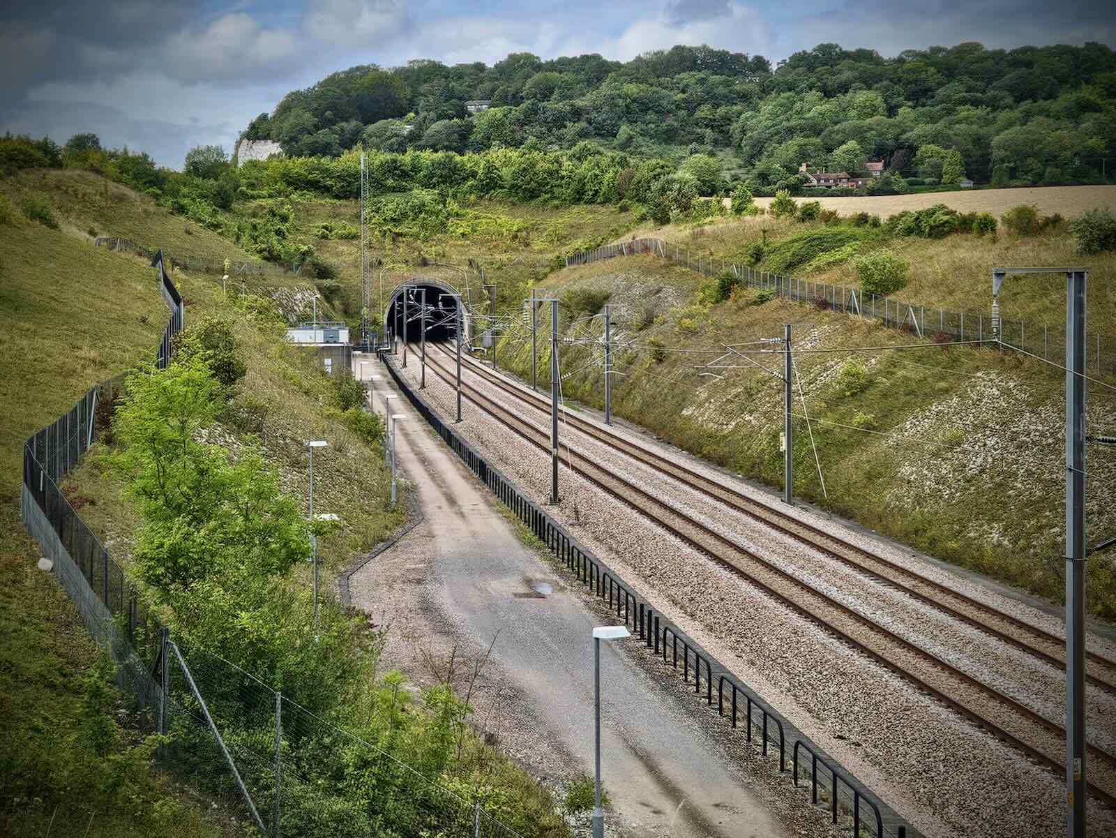
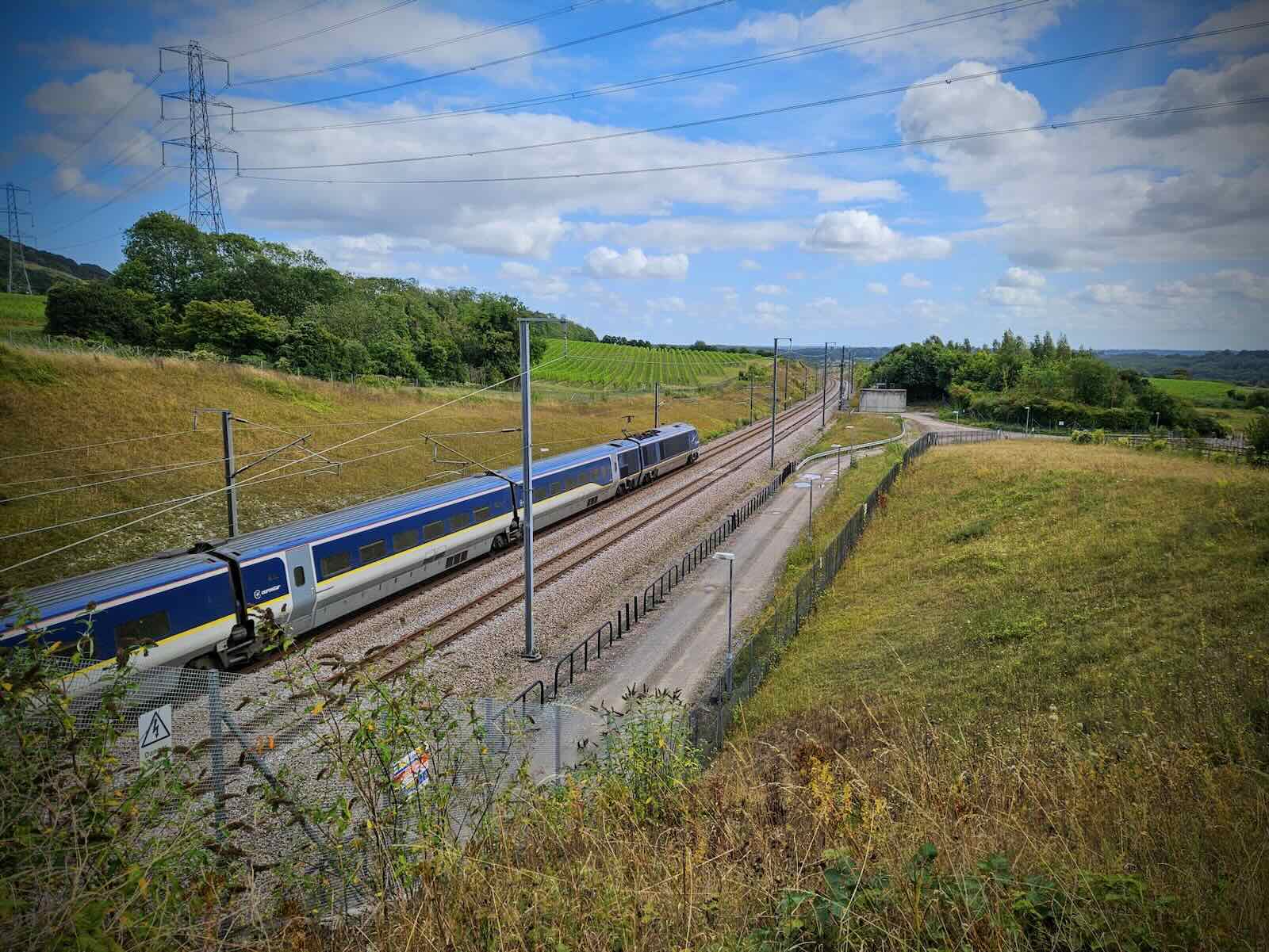
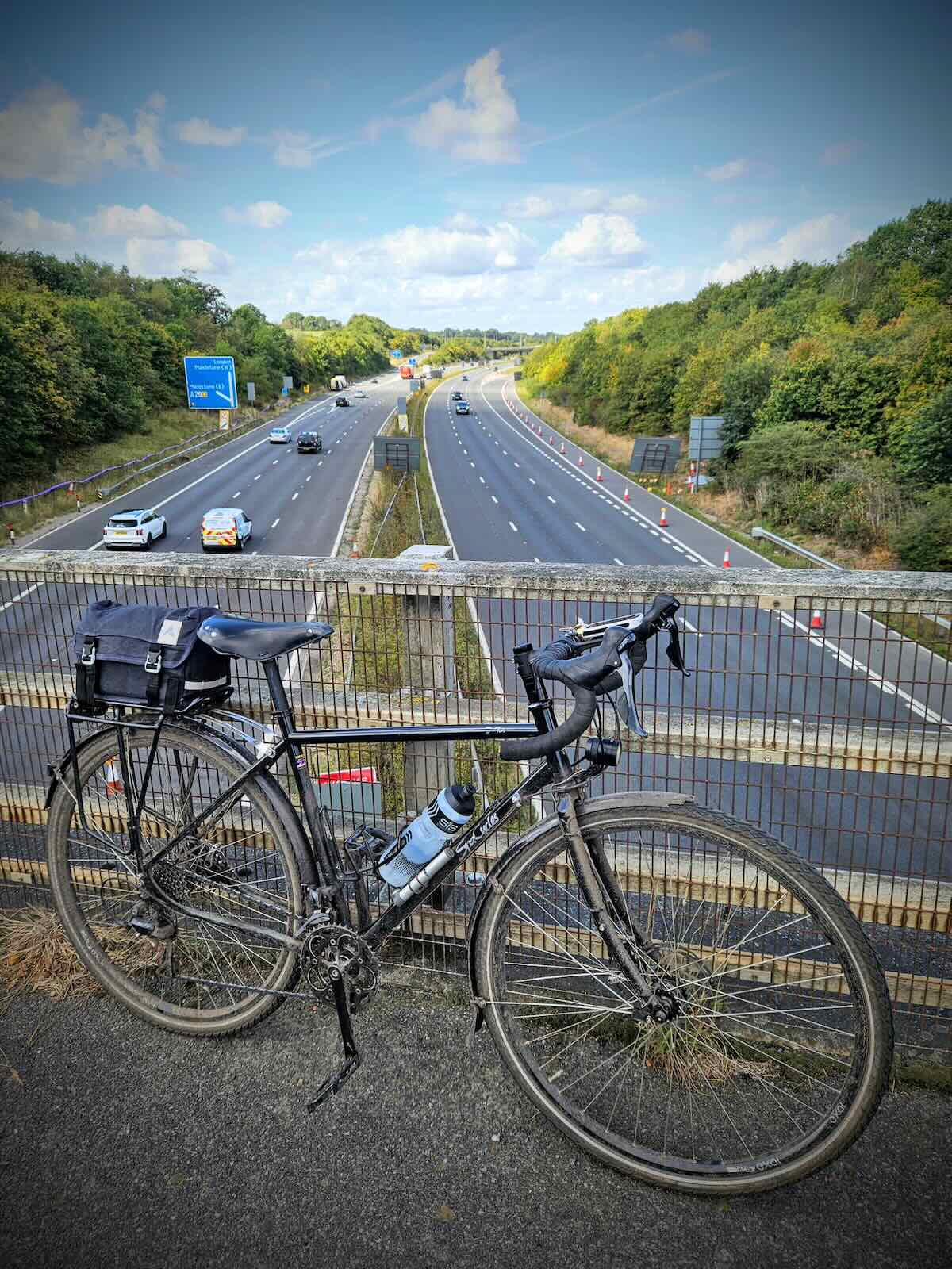
I wasn’t sure what the bridge was at first, but then it became obvious as I got closer, it was a bridge over the HS1 line. This is otherwise known as the line that carries Eurostar trains from London to the Channel Tunnel and over to the continent.
The bridge was situated very close to the North Downs Tunnel and I was fortunate enough to see both a HS1 train and a Eurostar train passing, in the few minutes I was there (I’m not a trainspotter, honest).
The HS1 line is a shining example of what we should definitely see more of in the UK. Sadly, given the debacle with HS2 and cancellation of the Manchester and Leeds lines, it’s unlikely we’ll see many more of these any time soon. Compared to the rest of Europe, it’s pretty embarrassing.
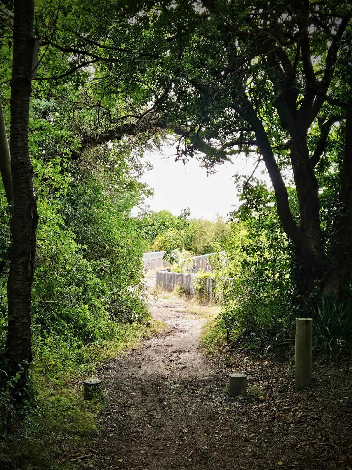
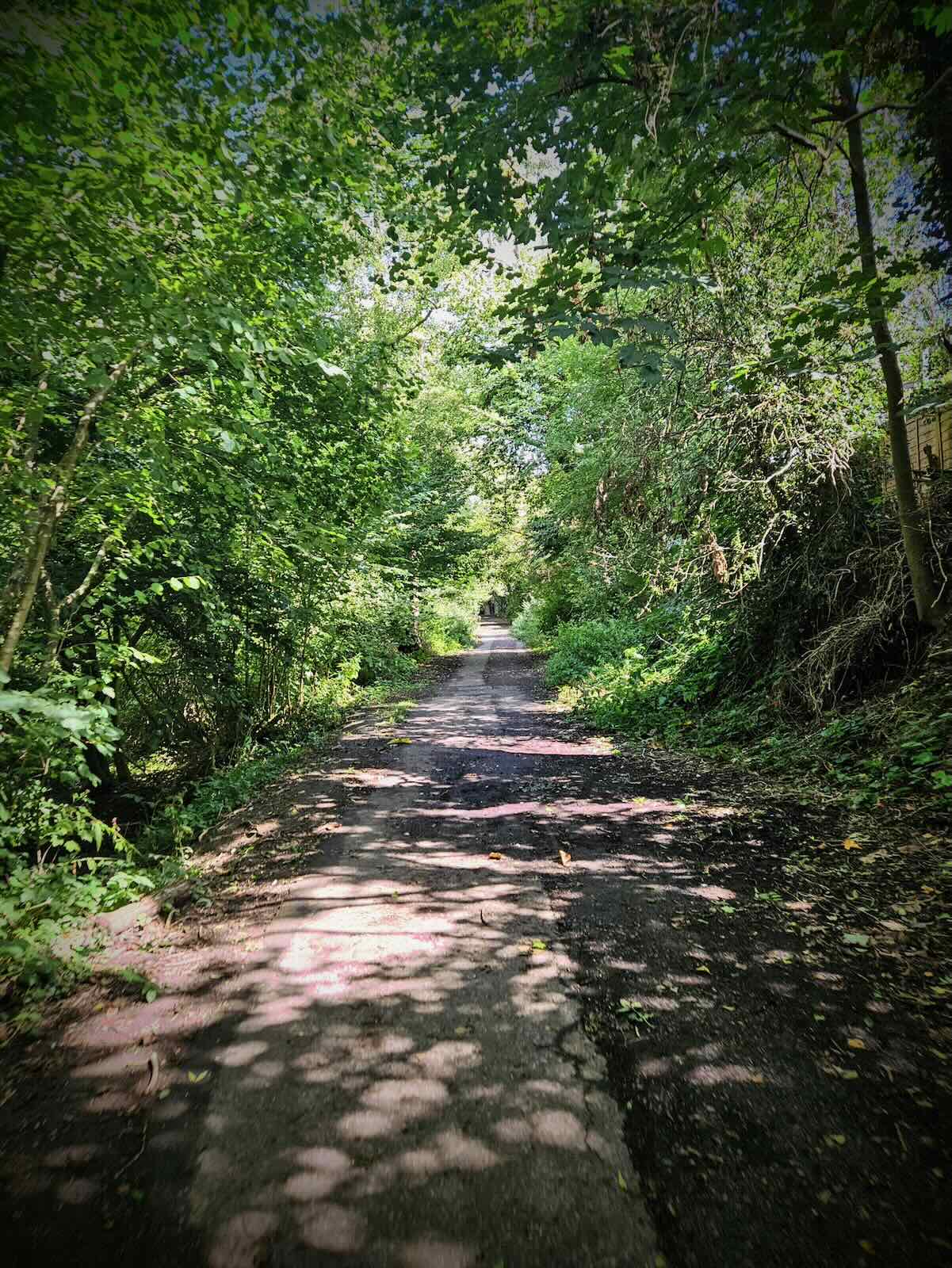
Over the other side of the HS1 bridge, the gravel path continued to descend. I have to say, this was a lot of fun to ride down, making up for some of the hills I had ride up earlier. The path continued down as it returned to the road, making its way into Aylesford.
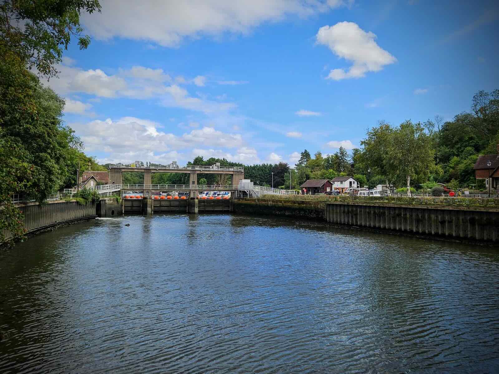
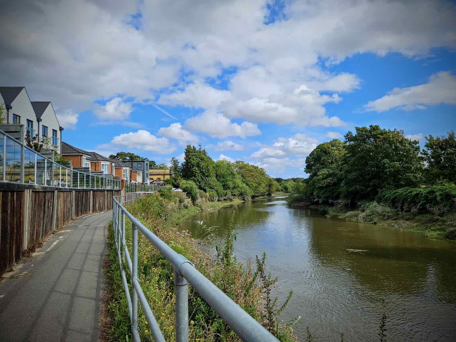
Passing through the village, I then arrived at the River Medway and the towpath where I would continue back towards Maidstone. Being one of the few traffic-free routes in the town, I often ride down the Medway towpath.
The Medway towpath can be cycled from Aylesford, through Maidstone and out the other side to Barming. The quality of the path varies, but it’s generally okay. It’s not the widest at times and there’s cyclist dismount sections, which are a bit annoying. But overall, it’s not completely frustrating. Probably a similar standard to the Bridgewater Canal path.
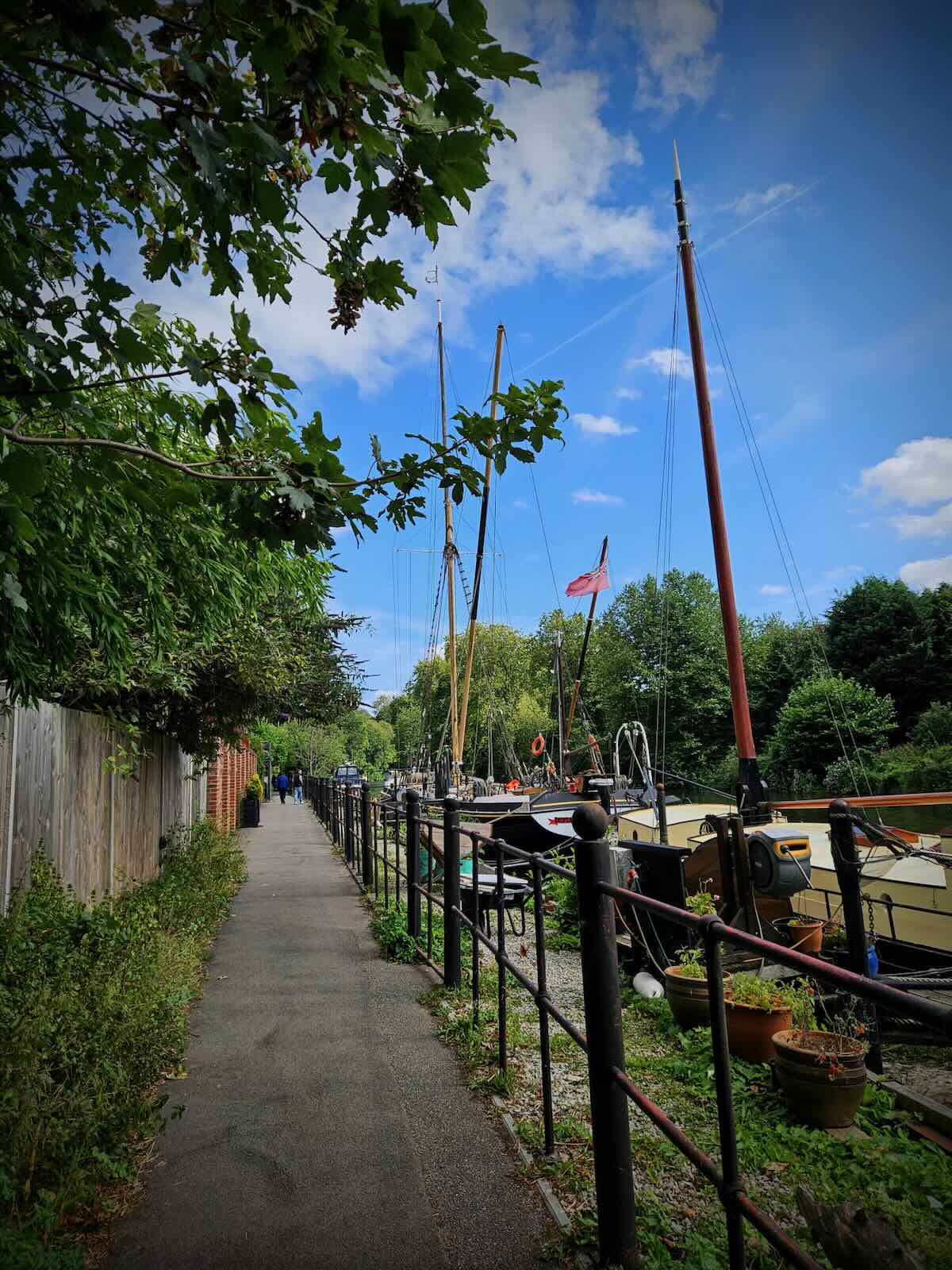
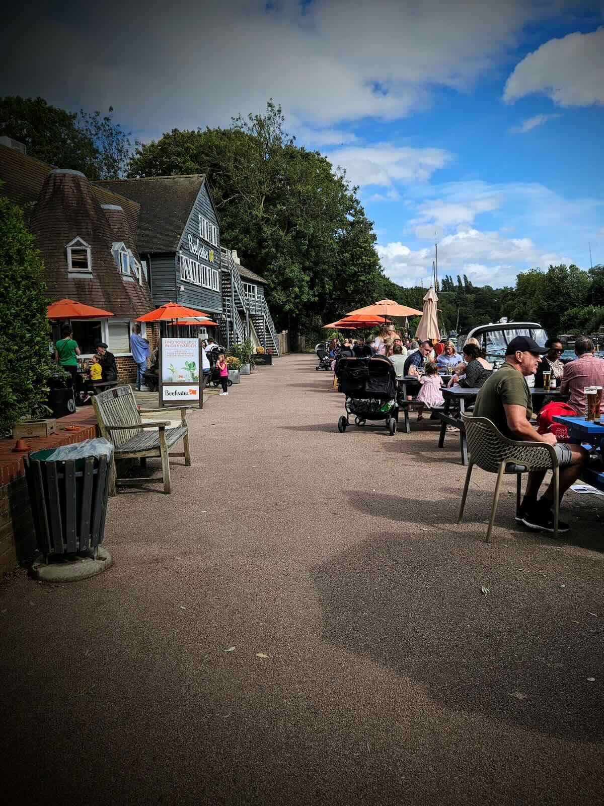
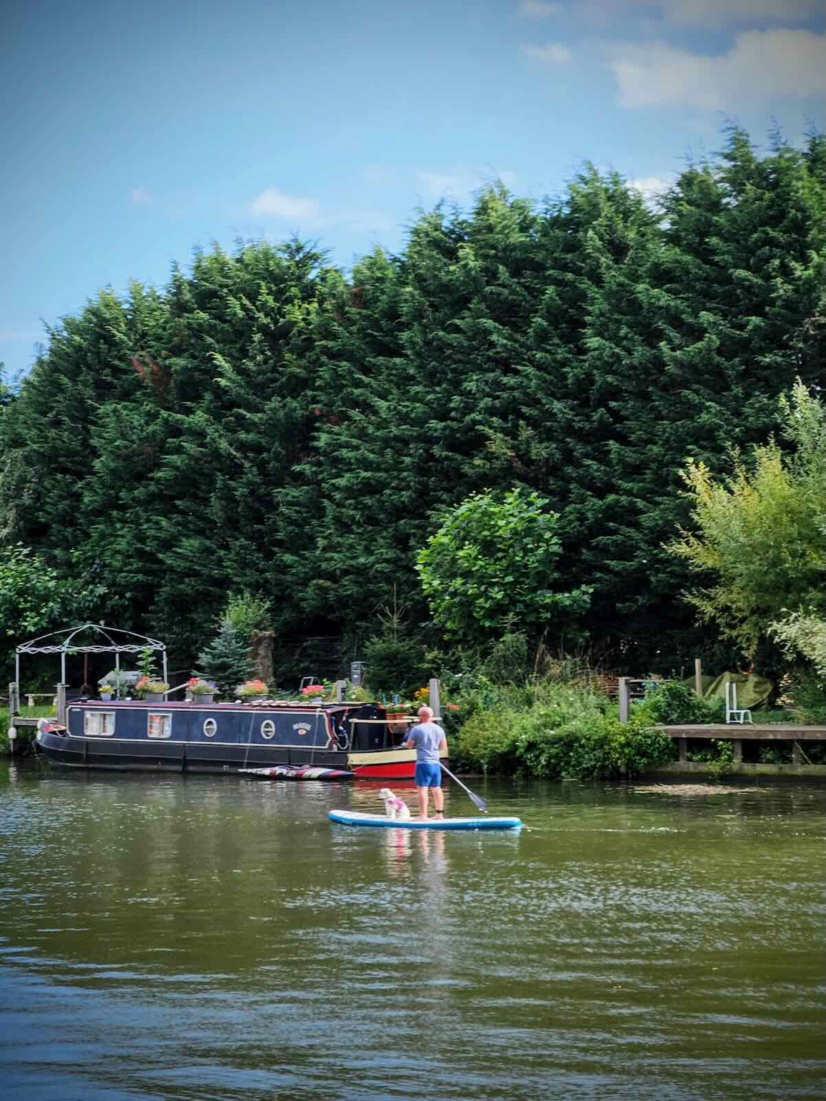
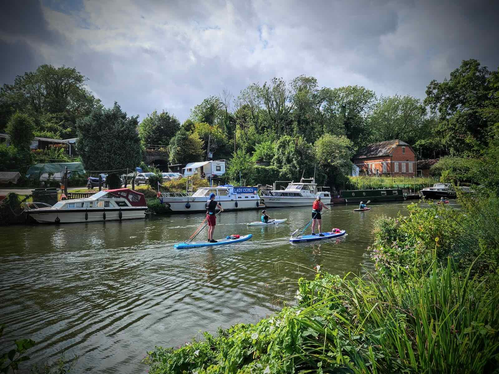
Setting off along the path, I passed the impressive Allington Lock and Malta Inn pub (cyclists dismount section) and carried on towards Maidstone. The Medway path is an enjoyable cycle if it’s not too busy, with pleasant views along the way. Overall, it’s quite green, with lots of fancy boats and people enjoying the river.
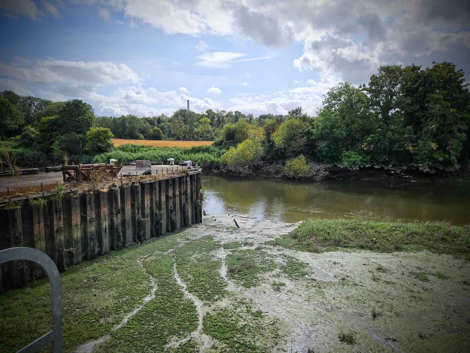
Things get a bit less green and pleasant as you approach Maidstone, with the remnants of its military and industrial past as well as lots of new apartment blocks. The apartment blocks I don’t mind, it’s more the awful big roads that offend me, them and the ugly retail park. It always feels like Maidstone could do so much more with the river.

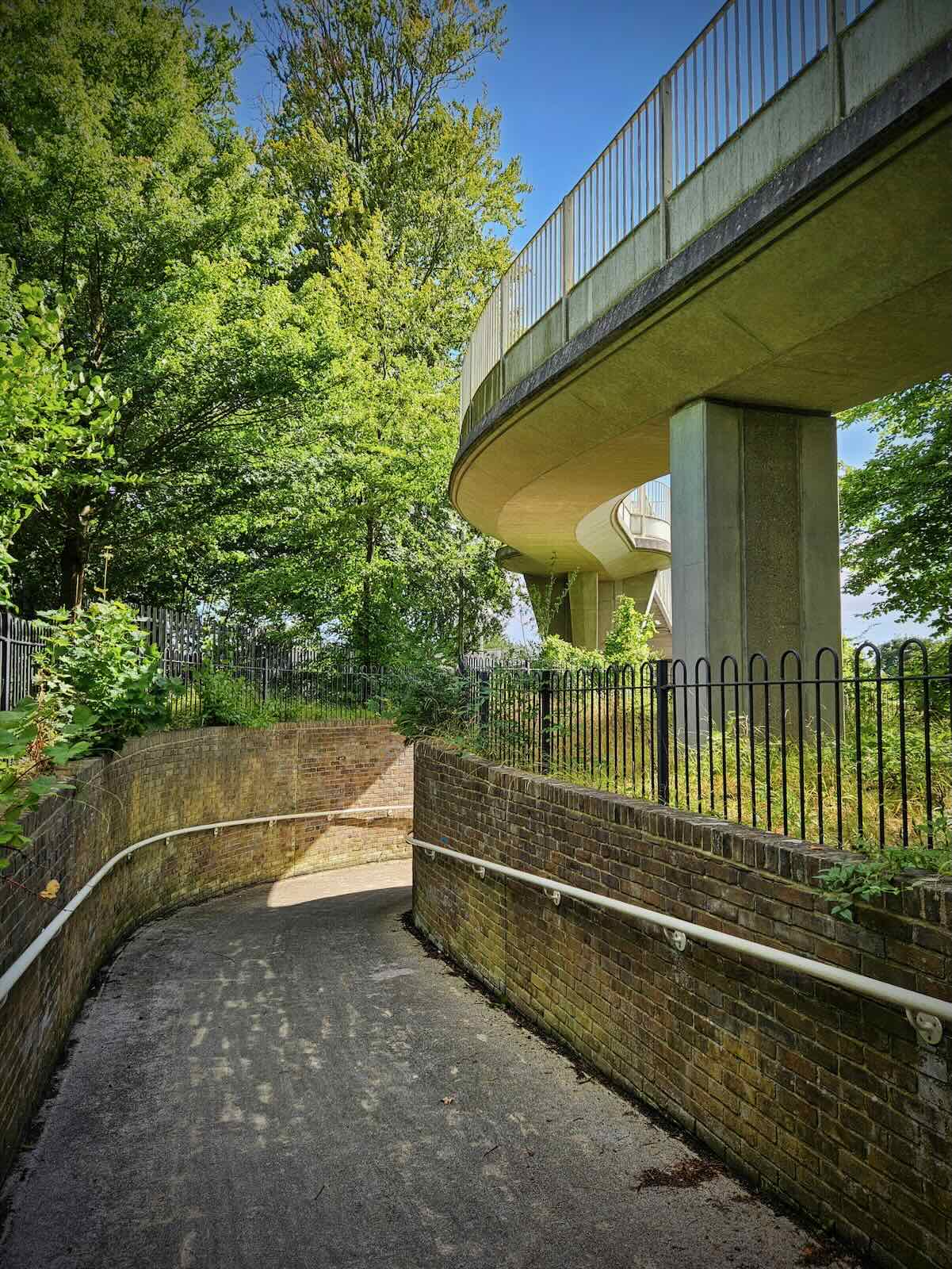
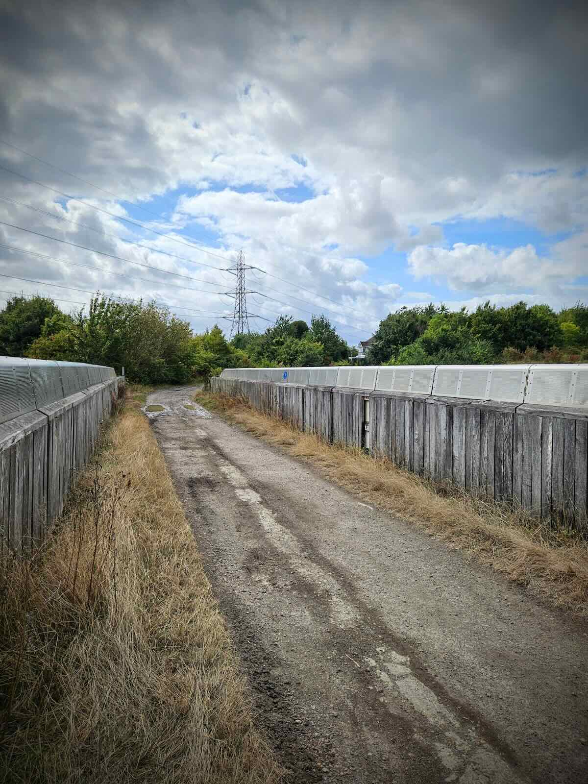
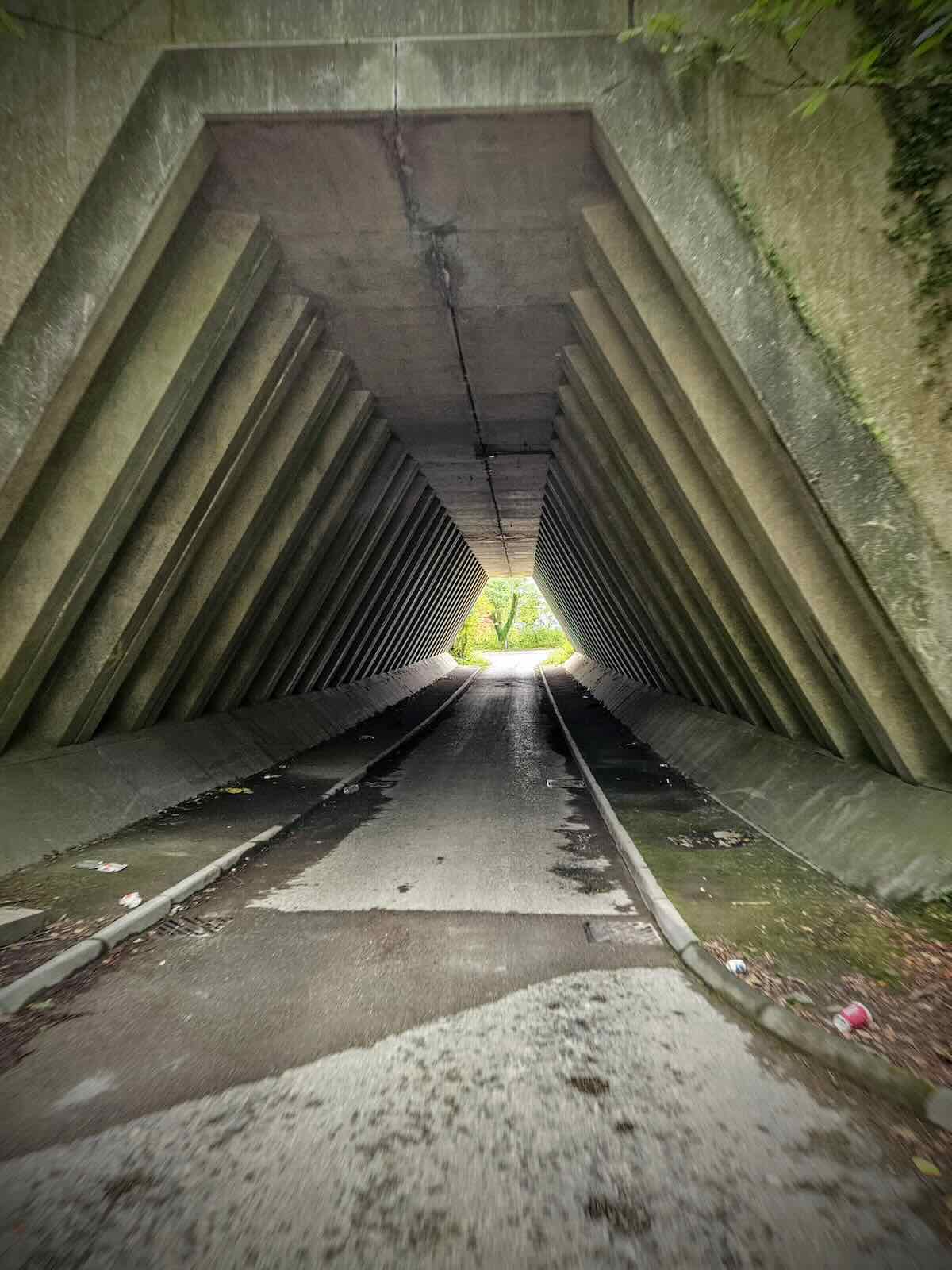
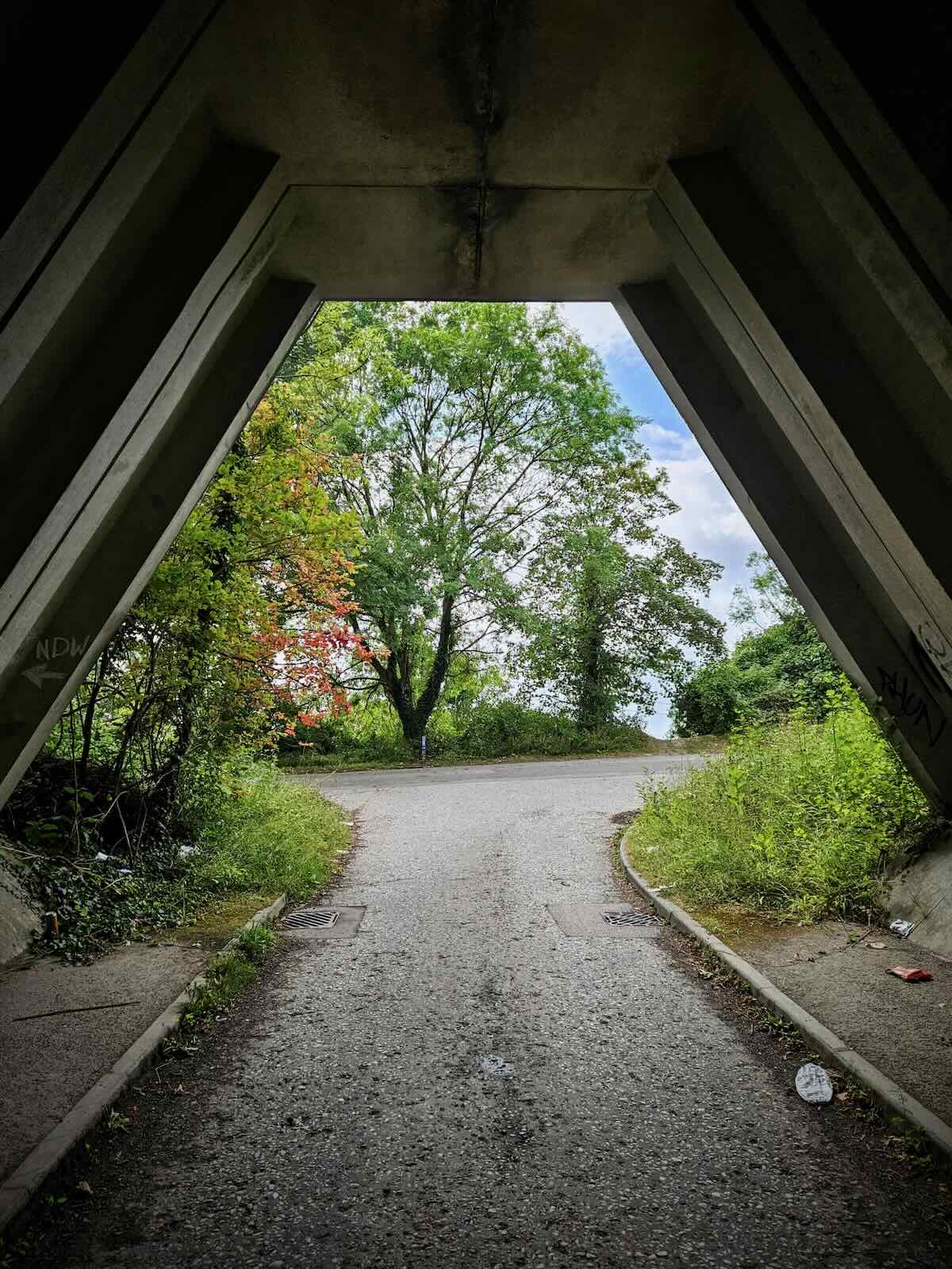
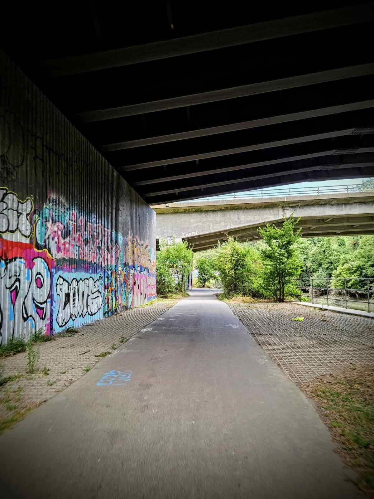
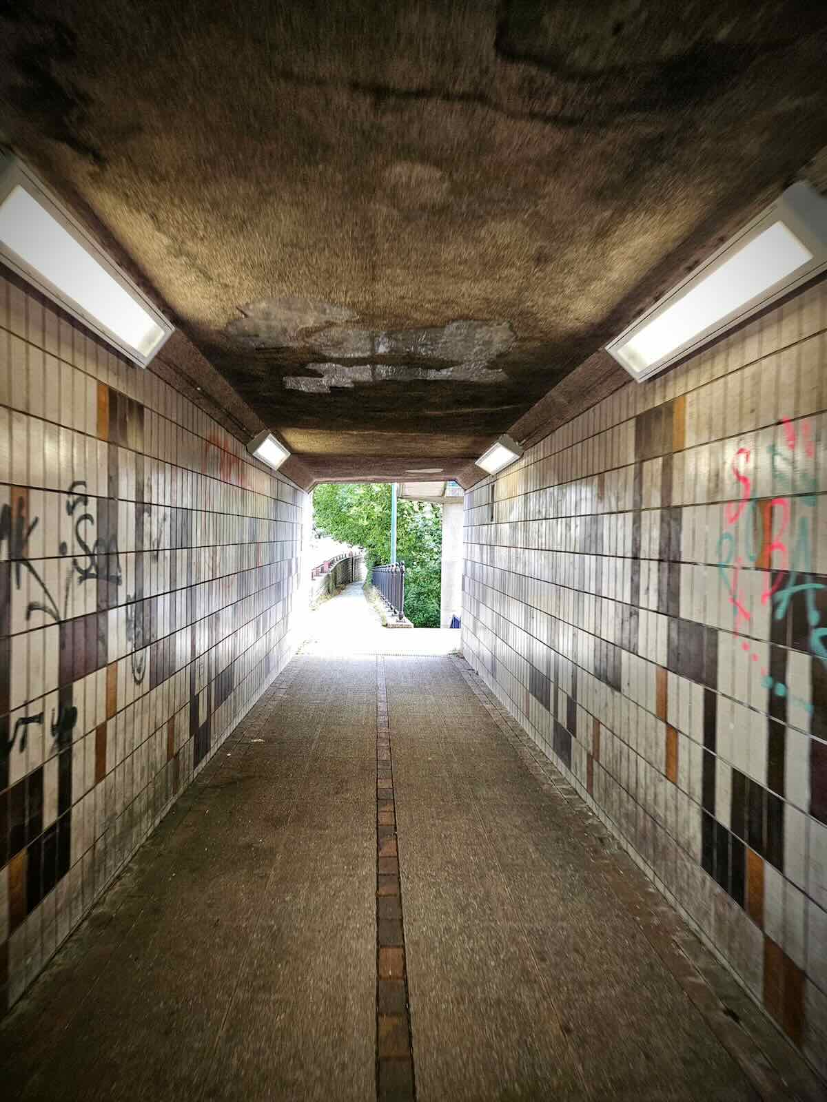
Leaving the river path, I passed under the A229 in the walking and cycling underpass. The underpass itself isn’t too bad, apart from the drainage issue at one end and large amount of standing water. It’s fine if you’re cycling, but not so good if you’re walking. It’s been like this for a while, to the extent that someone has put some railings across, for people to walk on.
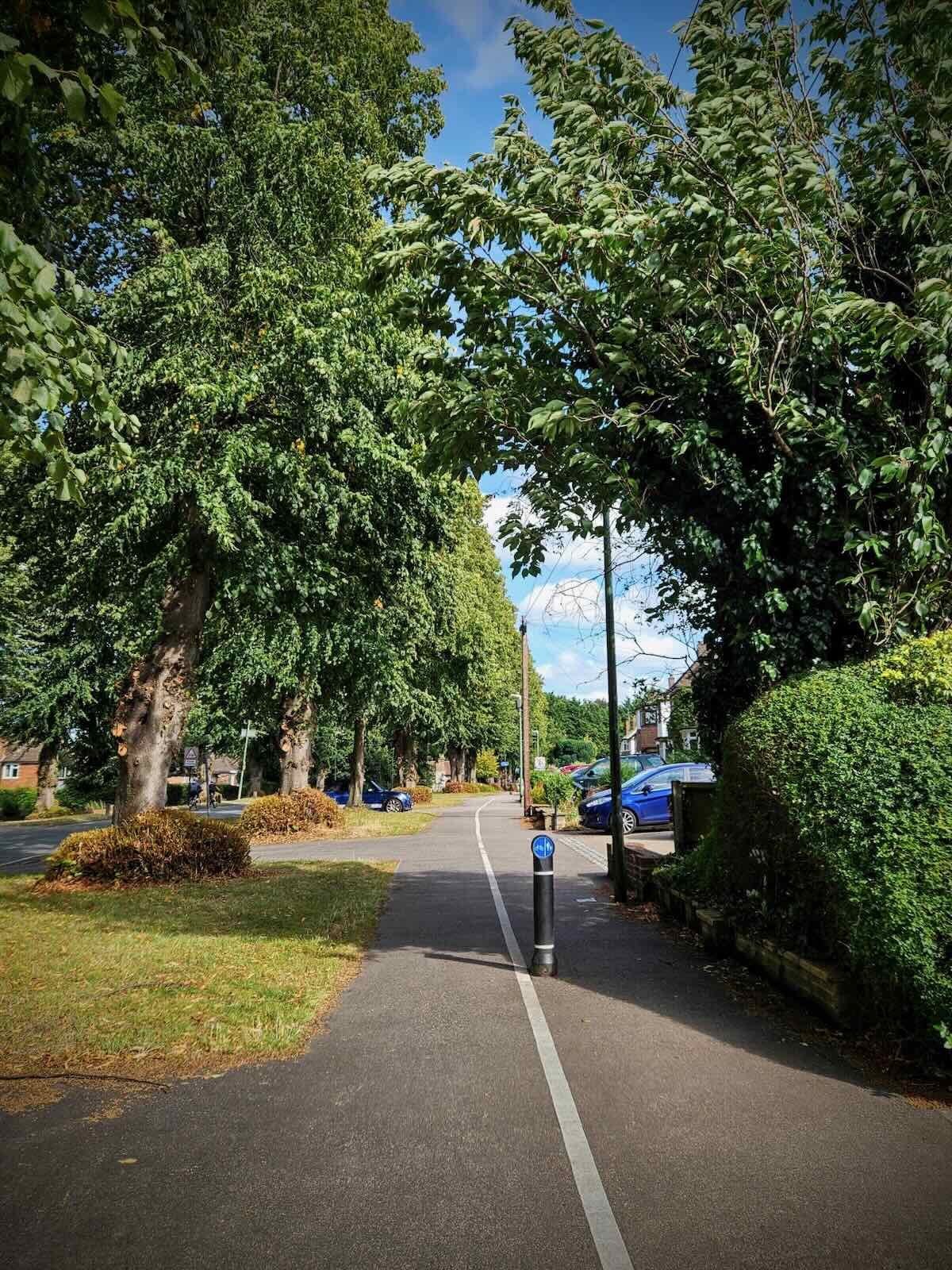
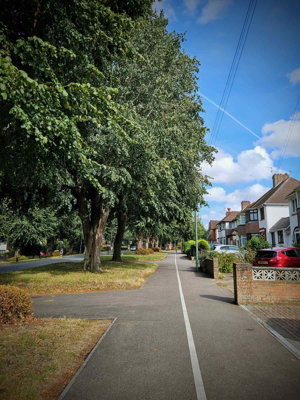
Coming out of the underpass, I made my way along High Street and King Street, then turned right onto the A229 for a small section before taking a shortcut onto Mote Road and Avenue. This is one of the few roads in the area with dedicated space for cycling. While it’s just some paint and bollards, it’s still better than 99% of the roads you’ll find in Maidstone.
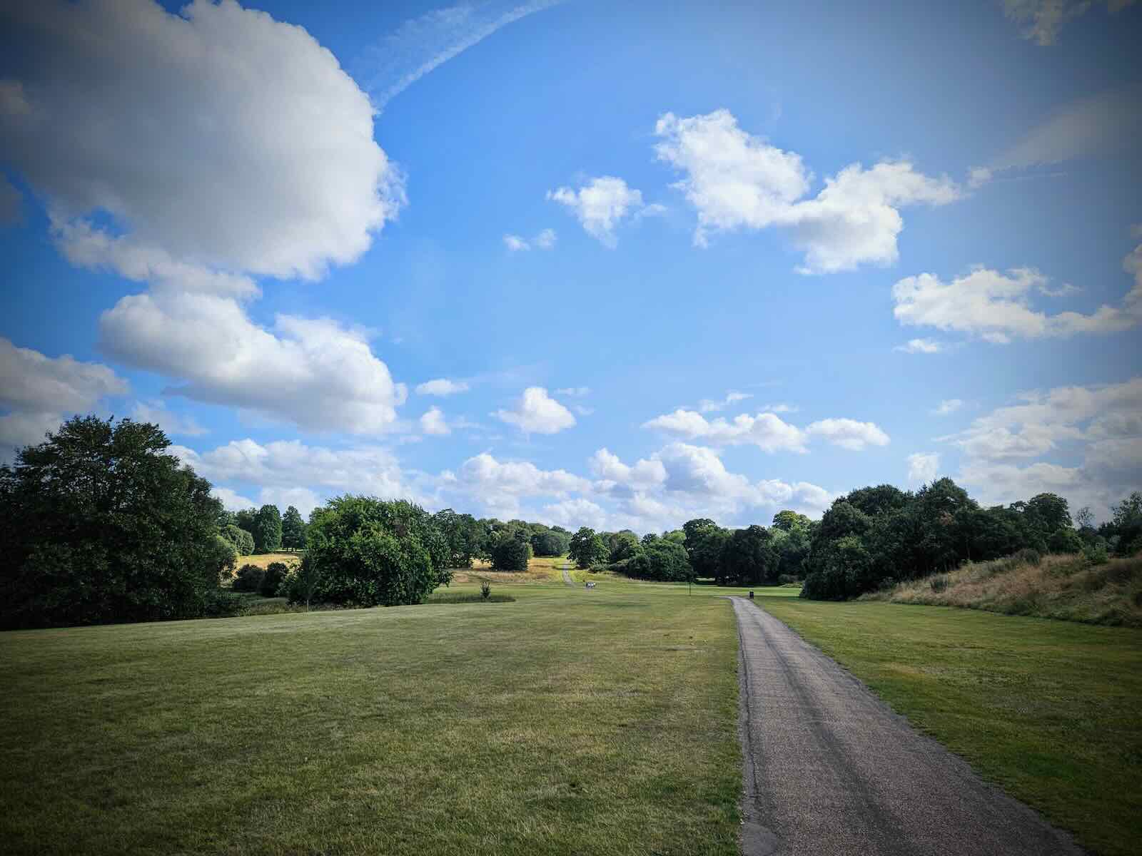
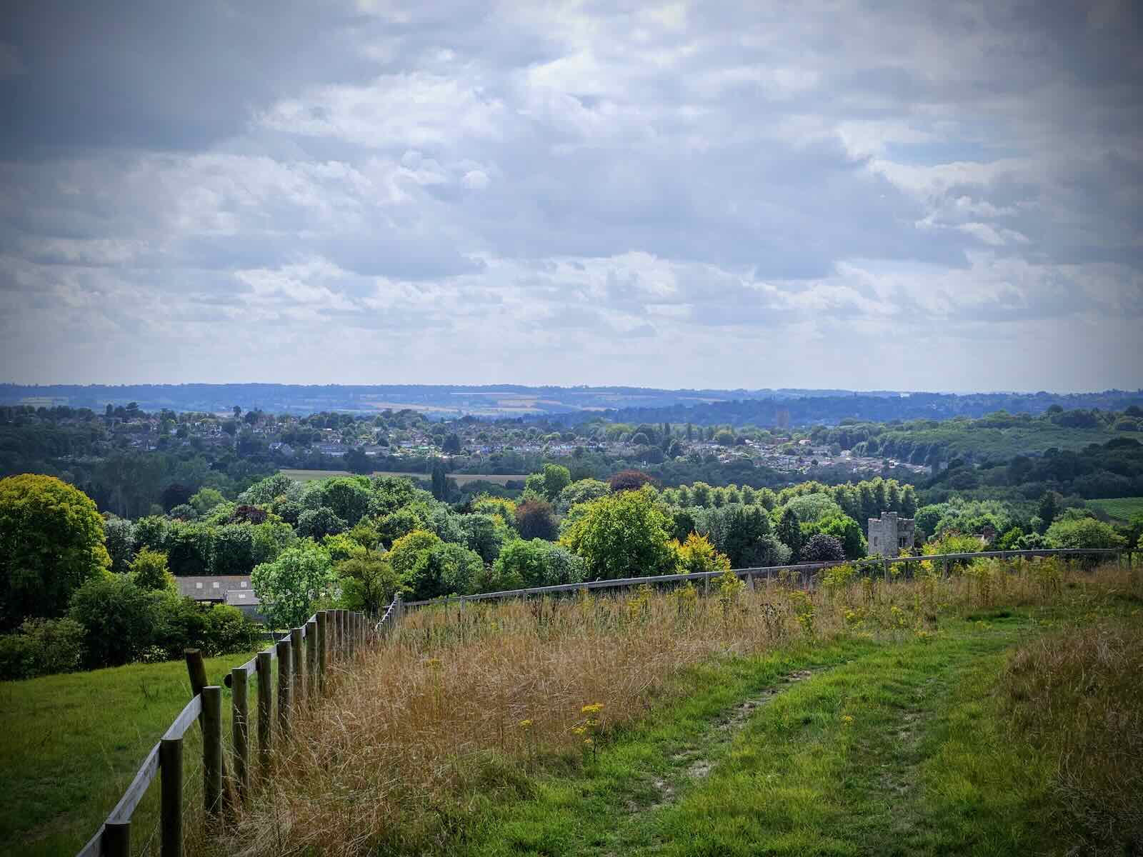
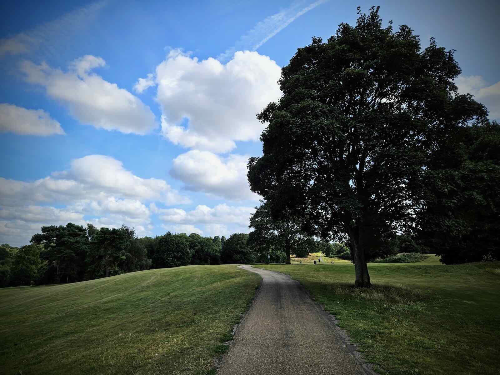
Unfortunately, the cycling infrastructure doesn’t go further than Mote Avenue. When you reach Mote Park, the road turns right into Willow Way and Lower Road. This is a narrow road with lots of rat running traffic, and is one of the most unpleasant roads to cycle on. This time, I choose to avoid it by riding through the Mote Park.
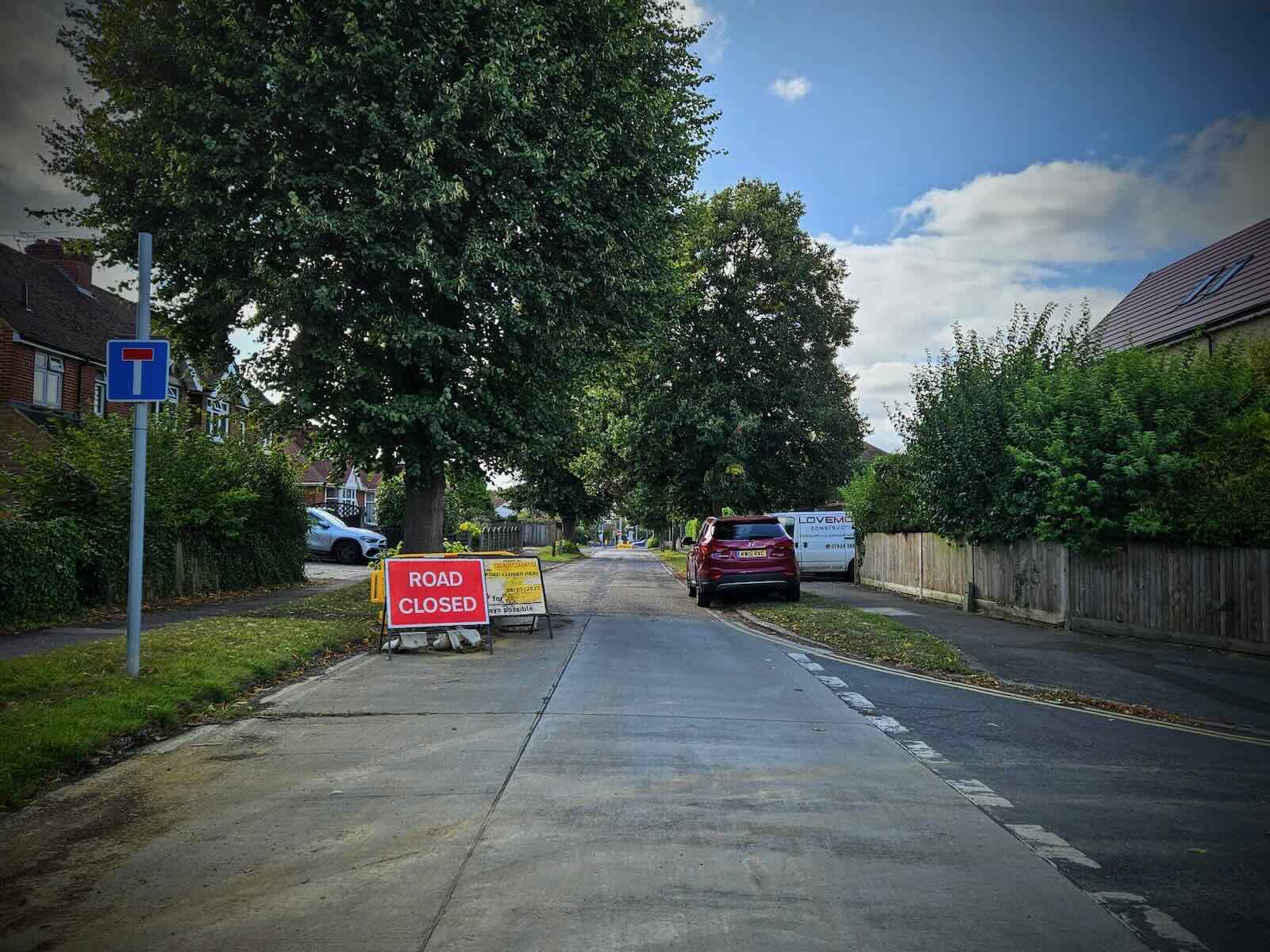
Once out of the park, I made my way to the Wheatsheaf junction along the now closed Cranborne Ave. There are plans for a big redevelopment of this junction, which as you can probably guess, is to increase capacity for motor traffic.
The proposals show everything that’s wrong traffic planning in Maidstone and the complete lack of regard for active travel. This scheme is all about maximising motor traffic capacity, with walking and cycling being a complete afterthought.
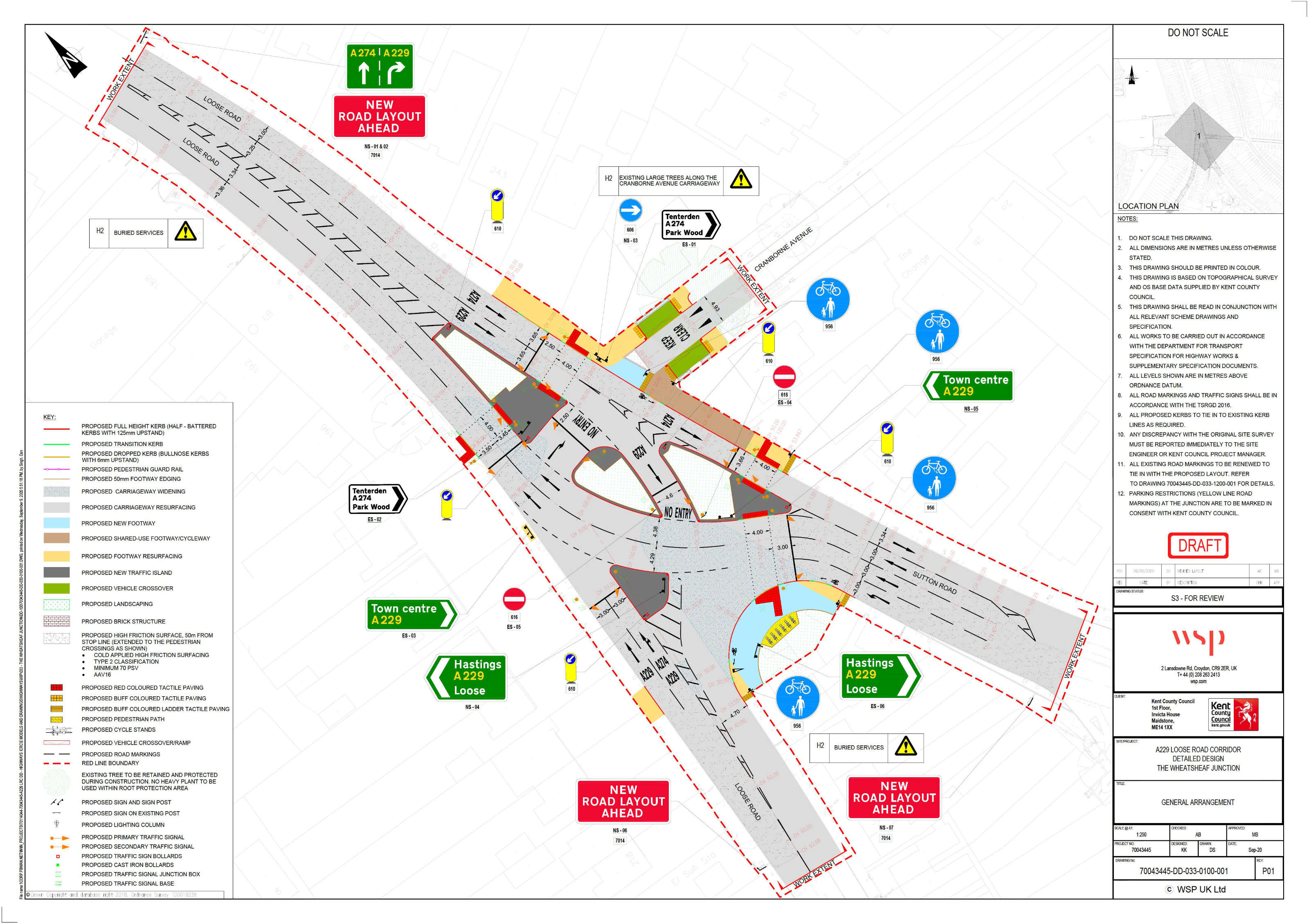
Meanwhile, more and more suburban estates are being built around the town, with little regard for providing any means of travel, other than for more private cars. So the inadequate road network surrounding the town gets more and more clogged and all the local authority and county council can think to do is increase capacity for cars. This kind of thinking is 50 years out of date.
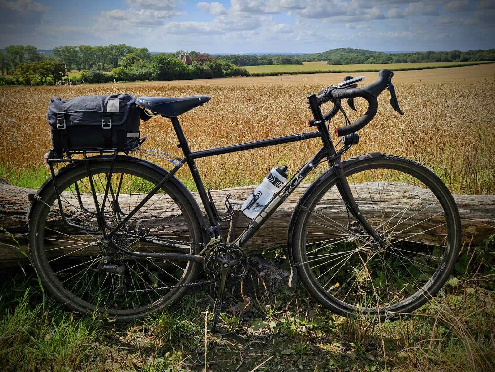
So, despite some questionable roads and a general lack of safe space for cycling, I enjoyed my ride along the Pilgrims’ Way. I expect I’ll be back along here in the future, probably exploring some other sections.
Gallery