

Our trip to Bath really wouldn’t have been complete without a ride along the famous Bristol and Bath Railway Path. The history of this trailblazing traffic-free route is very much tied up with the history of Sustrans, who initially developed it back in 1979 and active travel campaigning in the UK.
The path is built on the old trackbed of the Mangotsfield and Bath branch line of the Midland Railway, which closed to passengers in 1966, and continued with freight into the early 70s. Between 1979 and 1986, work was carried out by Cyclebag (now Sustrans) on a 5 mile section of the route, which they had leased.
A large section of the path is shared with the Avon Valley Railway, a heritage railway which runs between Avon Riverside and Oldland Common. This originally started as the Bristol Suburban Railway Society, who had aims of reopening the line as a commuter line, but later incorporated into the Bitton Railway Company, with a new aim of preserving it as a heritage railway.
Riding to Bristol
Now I wasn’t able to persuade the rest of the family to join me on this ride. A 29 mile round trip was more than they were prepared to do. So I would be riding solo, then meeting up with them in Bristol, while they make use of the city’s park and ride facilities.
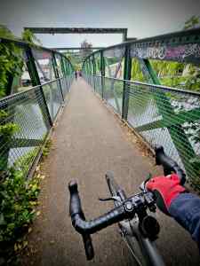
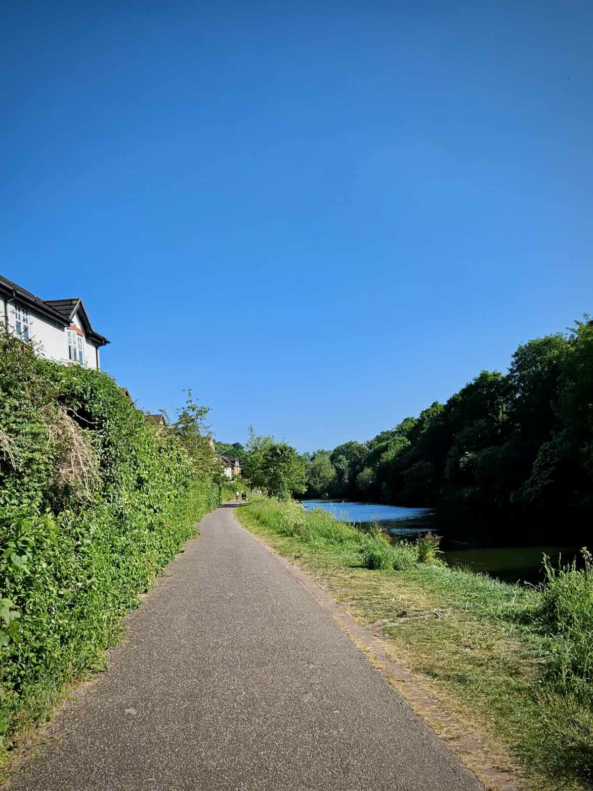
Setting off from our holiday home, I made my way to the A36, then crossed the Fieldings Road Footbridge onto the opposite side of the River Avon. Turning left, I set off towards Bristol, initially along the Weston Cut, which is a man-made channel off the river.
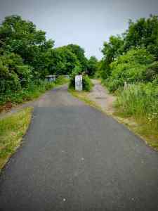
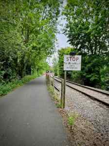
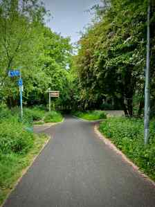
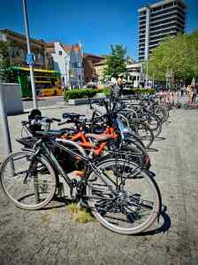
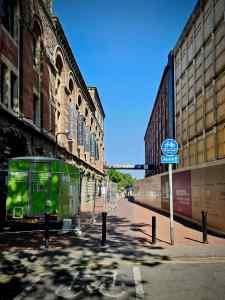
Leaving the canal path, I continued along Brassmill Lane for a short distance, passing a business park, before reaching the start of the Bristol and Bath Railway Path. There was a sign saying it was a little over 13 miles from here to get to Bristol, and 2 and half miles in the opposite direction to Bath.

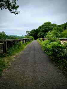
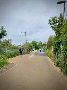
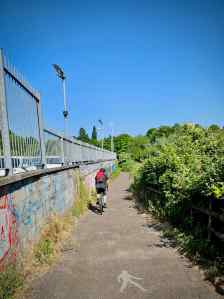
Setting off along the Bristol and Bath Railway Path, my first impressions were pretty good. The path is a decent width and it has a good quality sealed asphalt surface. It’s not always the smoothest, but it is generally very good.

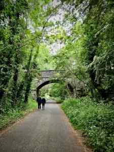
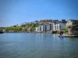
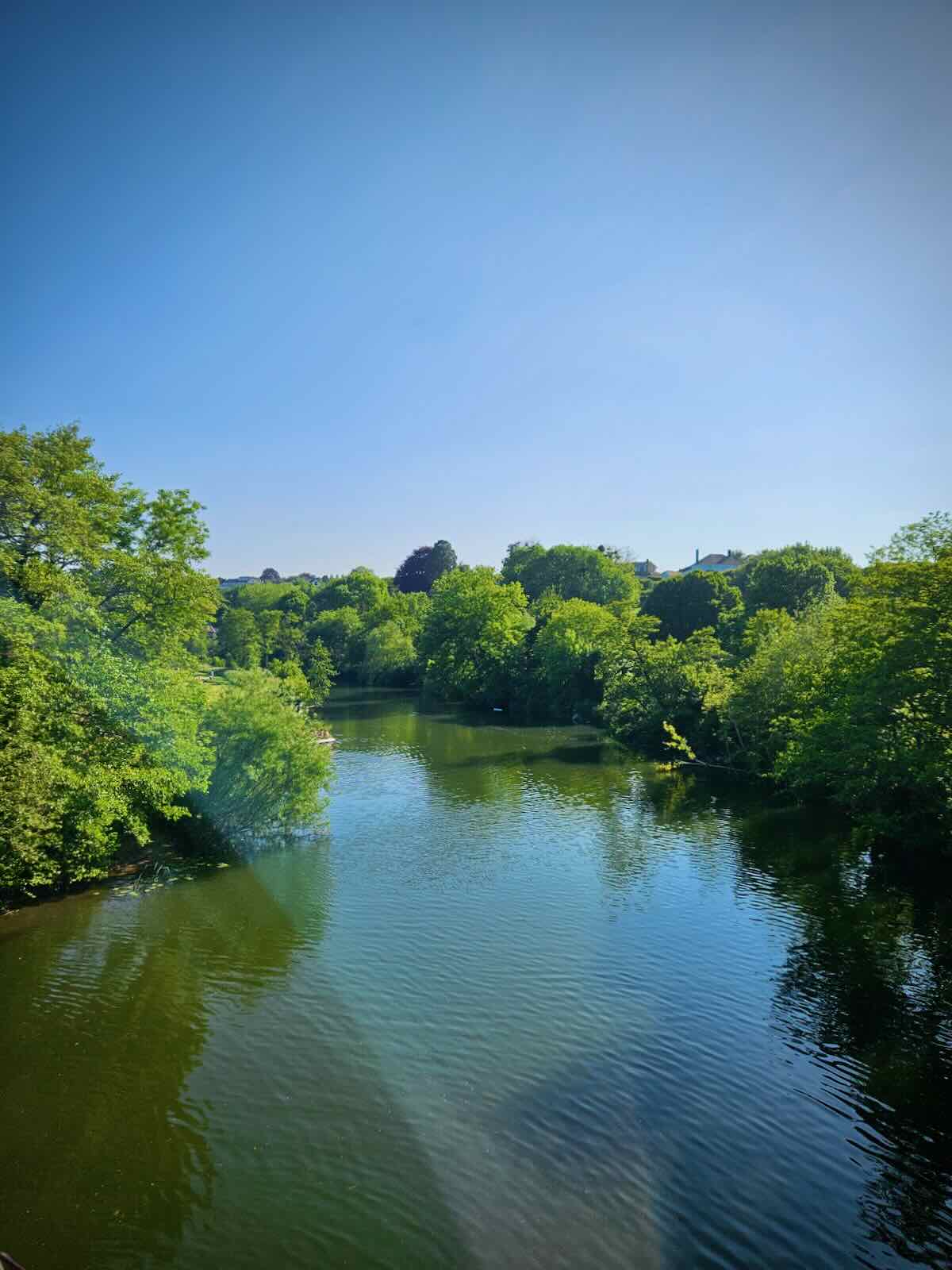
Being the trackbed of an old railway, it’s pretty straight, with no hills to contend with, making it a leisurely ride. It’s typical rail trail surroundings, with lots of greenery and great views of the River Avon and the surrounding Avon Valley. The path actually crosses the River Avon four times as the river meanders below.

Along the route, I found myself making comparisons with our own Fallowfield Loop in Manchester, both being ex-railway lines. There are a lot of similarities between the two paths, in terms of the width and quality of the path. With the recent improvements, the Fallowfield Loop may now be catching up.

I would say the surroundings of the Bristol and Bath Railway Path do trump the Fallowfield Loop. No offence Manchester, but the Avon Valley is somewhat more attractive than your suburbs!
The path continued in much the same way until I reached Avon Riverside Station. This is the latest station to open on the Avon Valley Railway, opening in 2004. Unlike the other stations on the railway, this wasn’t originally a mainline station. It was opened to provide access to the nearby country park and the river landing stage.

For the next three miles I’d be riding next to the Avon Valley Railway, as it runs alongside the railway path. I’m not sure how much of a difference it makes, but it felt like the path had narrowed a little, to accommodate the railway line. It was still a decent width though, with good quality surface.
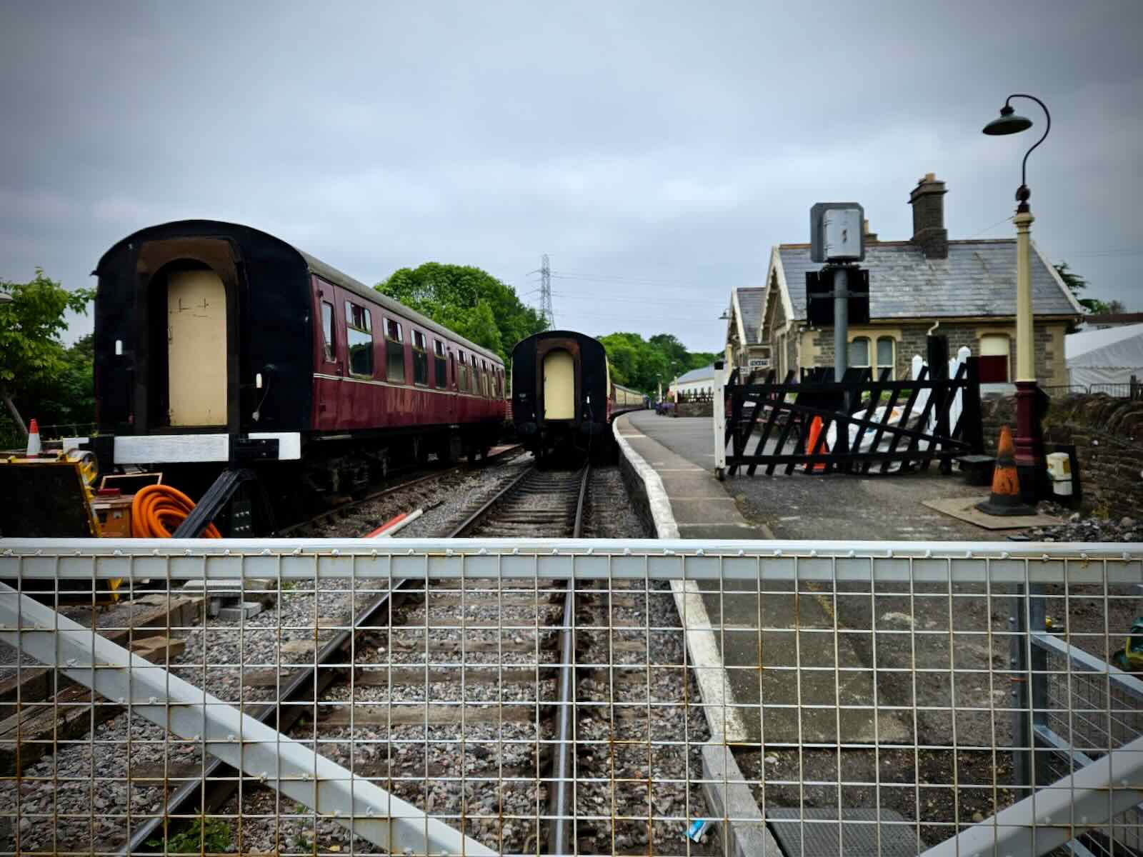
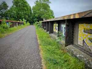
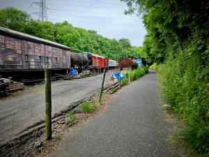
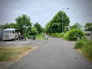
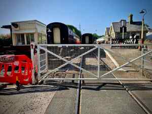
I soon arrived at the next station along the line, Bitton Station. This is a much more substantial station, with old buildings on the platform and carriages parked on the lines. Further on, there were sidings filled with old carriages and bits of trains, plus big stacks of concrete sleepers.
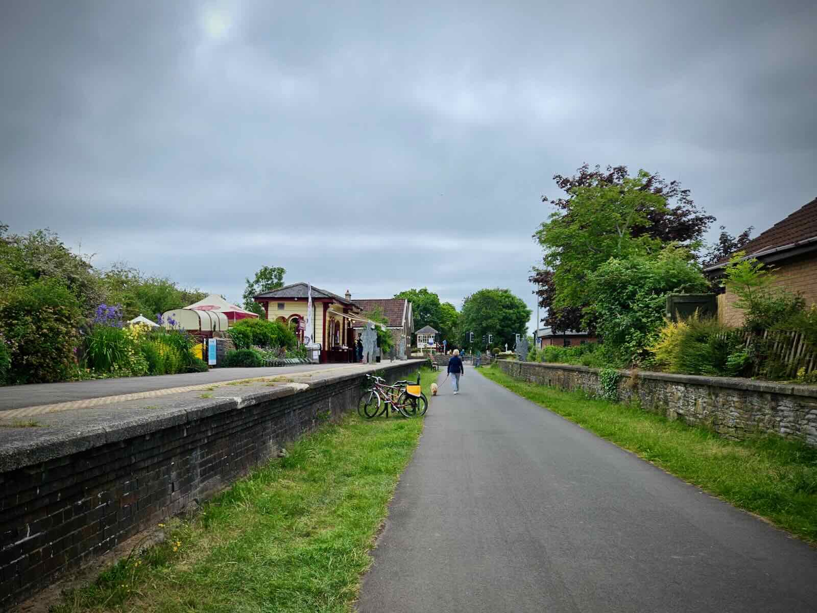
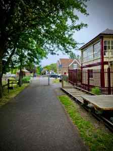
After Bitton Station, I continued riding next to the railway, until it ended at Oldland Common Station, the last station on the line. The path then continued onto Warmley Station, where there’s a station, but no railway. There’s also a rather nice old signal box.
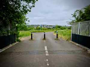
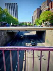
Next, I reached the outskirts of Bristol and crossed over the A4174, which bypasses the eastern side of the city and connects to the M4. From there, I made my way over more A roads and dual carriageways on bridges and underpasses, then arrived at another former station. Once quite a substantial station with six platforms, all that remains of Mangotsfield Station now is old platforms that the path goes through.

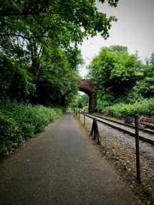
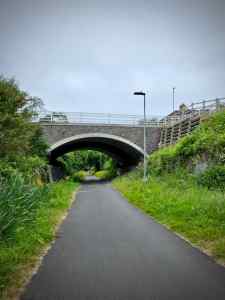
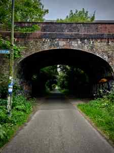
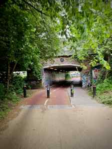
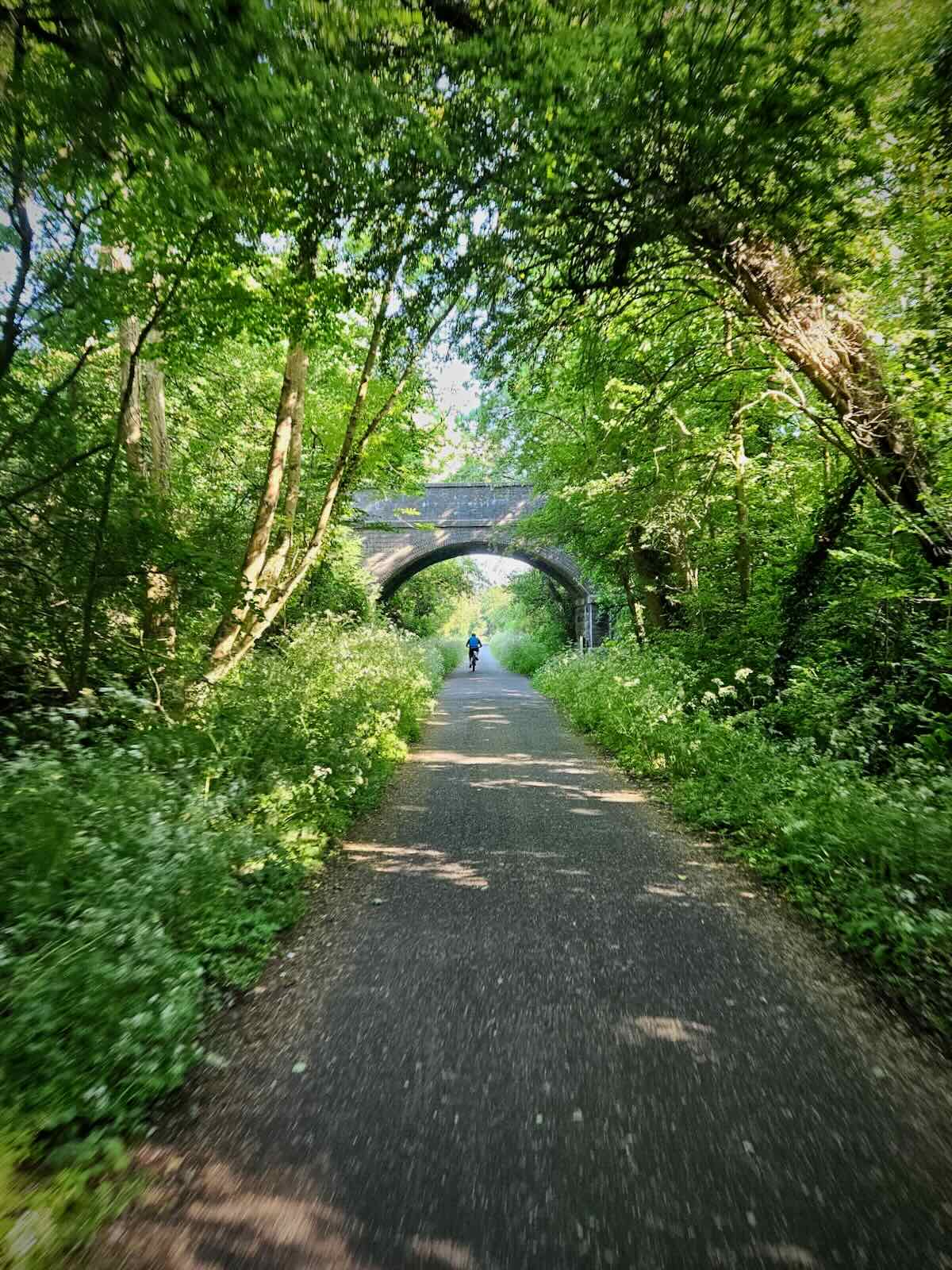
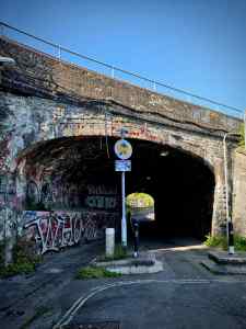
Beyond the station, I arrived at the Staple Hill Tunnel. Originally, this tunnel was next to the Staple Hill Station, which was located on the Midland Railway between Bristol and Gloucester. Like the tunnels on the Bath Two Tunnels Greenway, this was lots of fun to ride through.
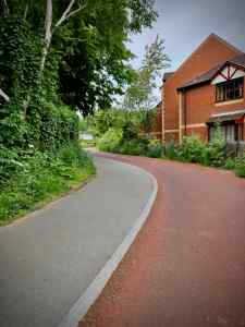
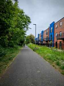
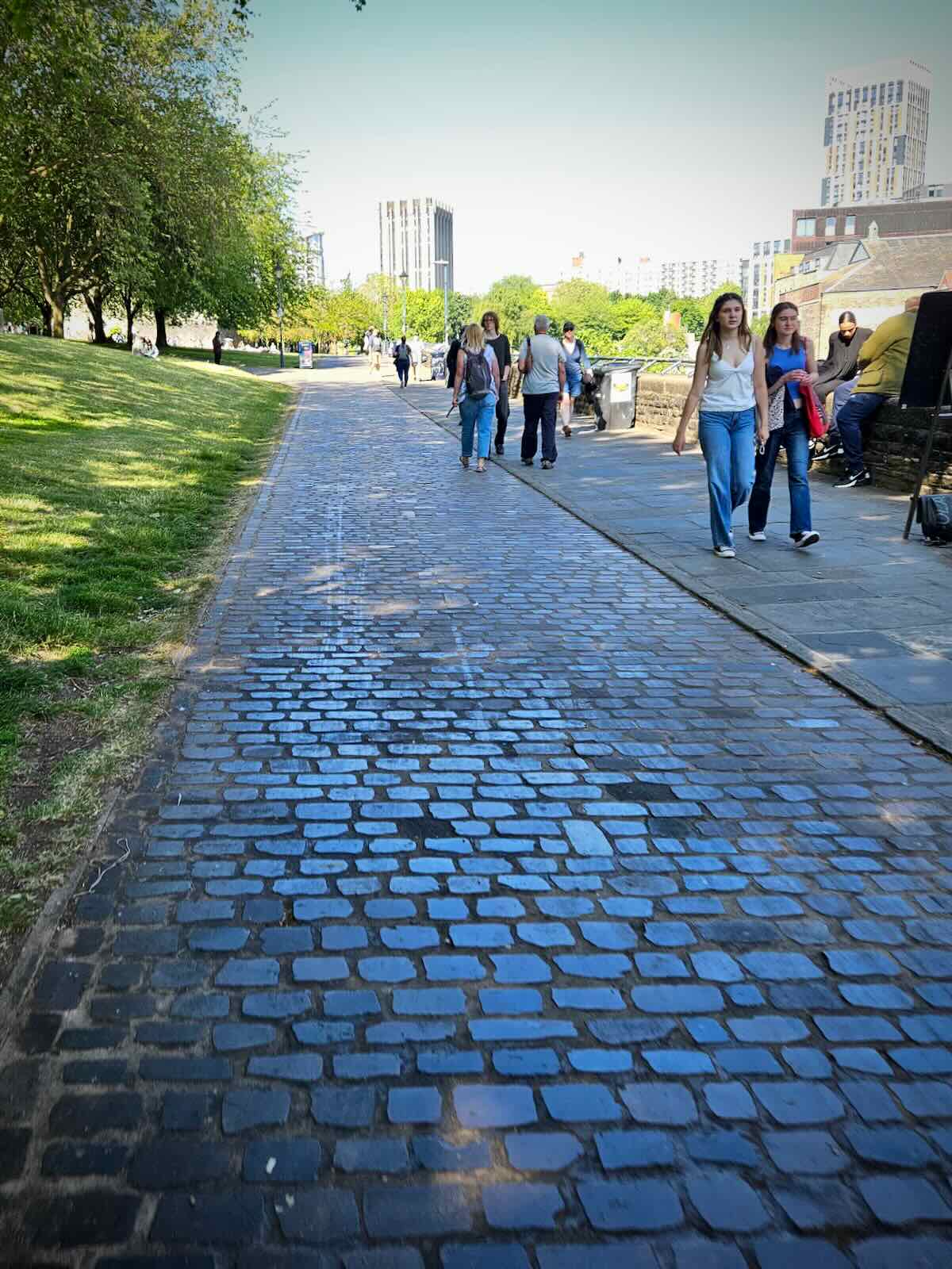
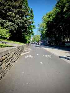
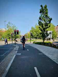
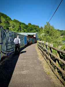
I was now on the outskirts of Bristol proper and the surroundings became much more urban, with the path now in between homes. Along this section, there’s clearly been a number of recent improvements to the path.
First of all, there were some really nice sections where the cycle path was separated from the footpath, with nice smooth red asphalt, with a white line down the middle, dividing the two directions.

This is really great and up to Dutch standards, in my view. Though to be truly Dutch, there should probably be loose bridleway for horses as well! Having separated walking and cycling paths is definitely the ideal, as it significantly reduces conflict.
Some of the other improvements include better entrances to the path, with nice planting and seating, though they’re now heavily covered in graffiti.

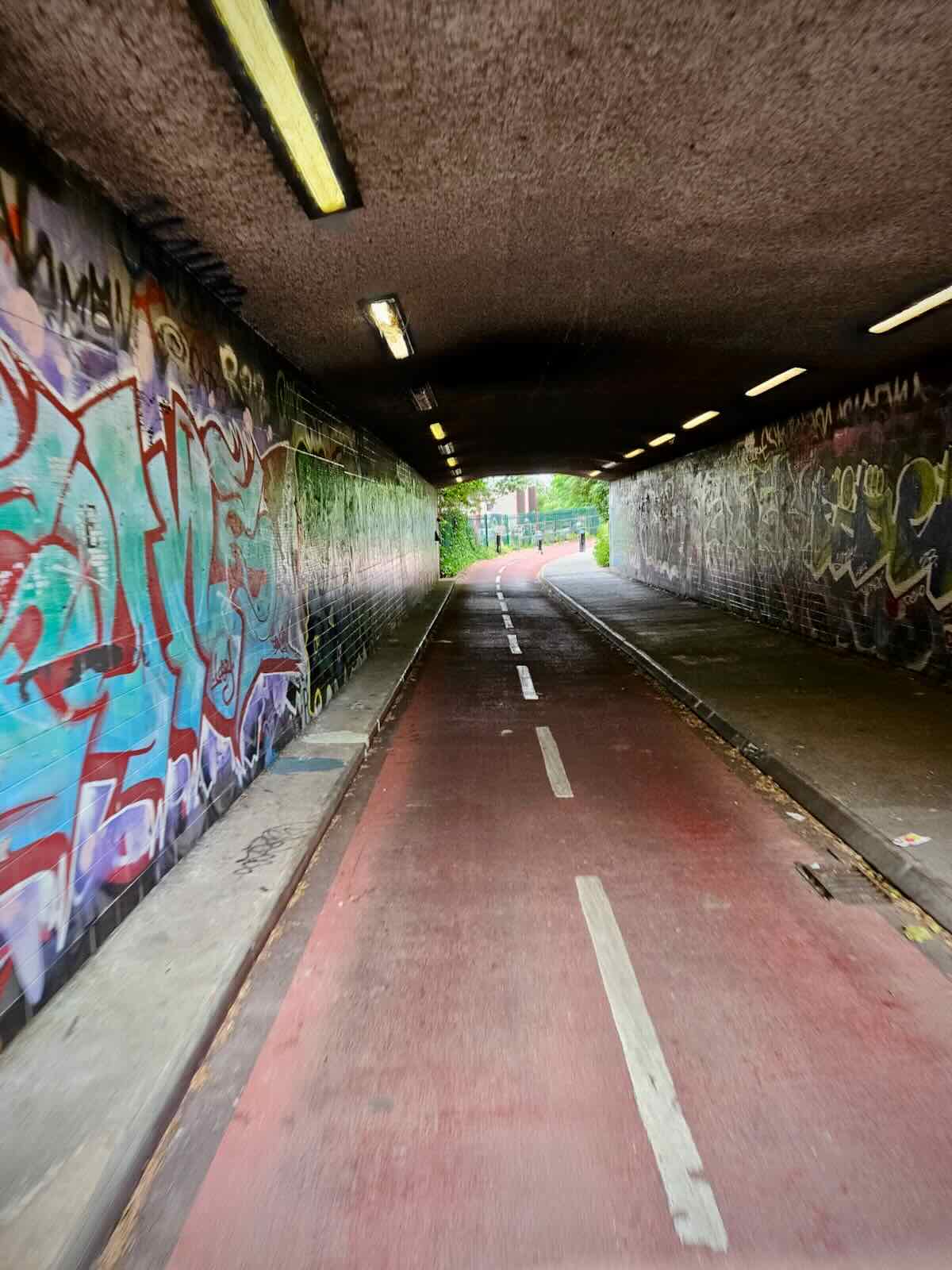
There were more improved sections of path as I continued into the Bristol, passing an organised group of people cycling. The improvements continued in the underpass under the A4320 St Philips Causeway, with separate cycle paths and footpaths that continued on towards the end of the path.
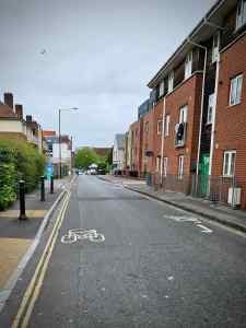
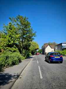
The path came to an end as I reached Newtown Park, from there I’d be on the streets of Bristol. We’d arranged to meet at the Bristol Museum & Art Gallery in Clifton, so I needed to make my way there. This involved riding along mostly quiet streets as well as a section of the A4044. There wasn’t much in the way of cycling infrastructure on here, so I ended up in the bus lane.

The route on my Beeline Velo 2 took me through Kingsdown and round the back of Bristol Royal Infirmary. This included negotiating one of the steeper hills in the city, Marlborough Hill. I have to say this was quite a challenge, an ebike would have been welcome at this point!

Thankfully, from there it was largely downhill until I arrived at the museum. I parked up at the museum and headed for the café for coffee and a pastry, while I waited for the others.


Wandering round Bristol
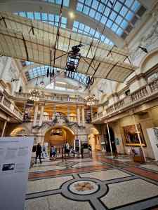
Once the others turned up, we spent some time looking around the Bristol Museum & Art Gallery, which I think we found more interesting than the boys did. After that, we went in search of something to eat.
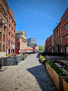
We’d been in Bristol a few days earlier, so we were getting to know the place a little better and had some ideas of where we wanted to eat. We found out about St Nicholas Market after our first visit to Bristol and thought it was worth taking a look.
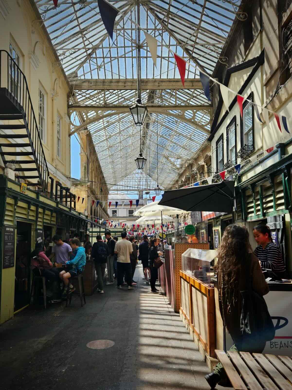
St Nicholas Markets has been open since 1743 and has Bristol’s largest collection of independent retailers. It’s a fabulous old space and judging by the number of people we saw, very popular. We decided to grab some lunch from Matina, one of the street food stalls in the Glass Arcade, specialising in Middle Eastern cuisine.

After an enjoyable lunch, we headed out, with a plan to see a few Banksy pieces as we went for a wander around the city. It was also a good opportunity to spot some cycling infrastructure, such as the two-way cycle path on College Green. While there isn’t massive amounts of protected cycling infrastructure on the streets, there more to see than there is in Bath.

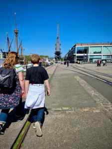
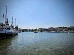
We found ourselves at the harbour, getting the little ferry over to the other side. We spent quite a bit of time around here during our previous visit a few days before, going to the M Shed museum, which was pretty interesting and free.
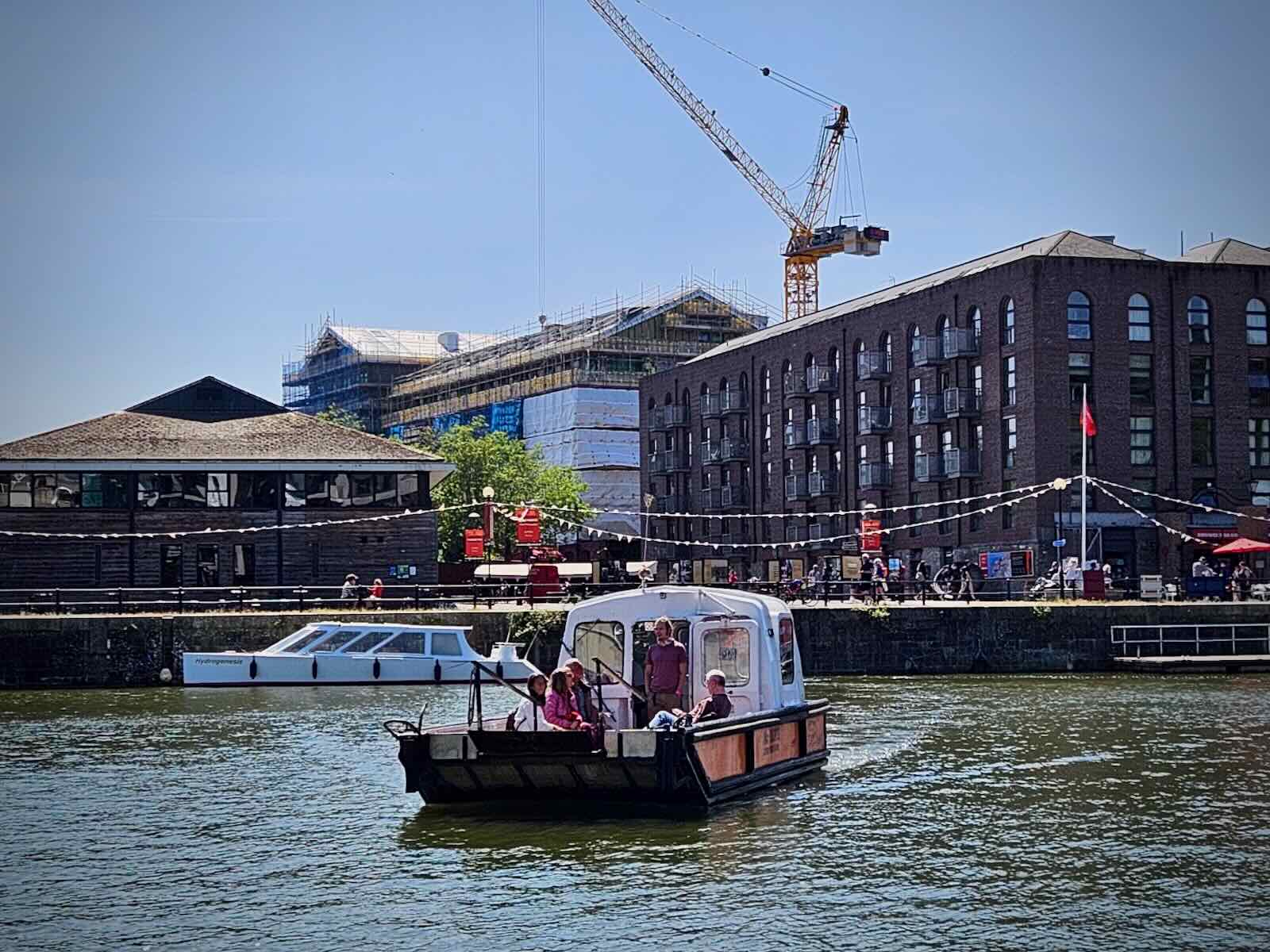
It’s impressive how much of the original harbourside architecture remains intact, say compared to our own Salford Quays, which was razed to the ground in the 80s, to be replaced by some really questionable buildings, many of which are now being replaced.

We made our way along the harbourside, until we found Banksy’s The Girl With Pearl Earring, stopping for the obligatory photo. We continued exploring further, before calling it a day and heading home, me on the bike and the others on the park and ride.


Riding Back
For getting back to our holiday home in Bath, I decided to take a different route out of Bristol, starting along the River Avon. Thinking back, I’m not really sure why now and in my usual style, I hadn’t planned it very well.
Initially, I started off along the River Avon Trail, which was fairly busy on this sunny Thursday afternoon. The path at this point was pretty good, with separate bike and foot paths. Though as you can probably imagine, not everyone was paying attention to which side they should be on.
The route took me across the Old Market Roundabout, passing over the A4044, then along some quieter streets, until I reached the Feeder Canal. I crossed over the canal and continued along Feeder Road, which was pretty busy, with a just a painted lane to ride in.
I then crossed back over the canal, to join the River Avon Trail again. I was then able to follow the river for a little while, which was pretty good, though unfortunately, didn’t last too long.
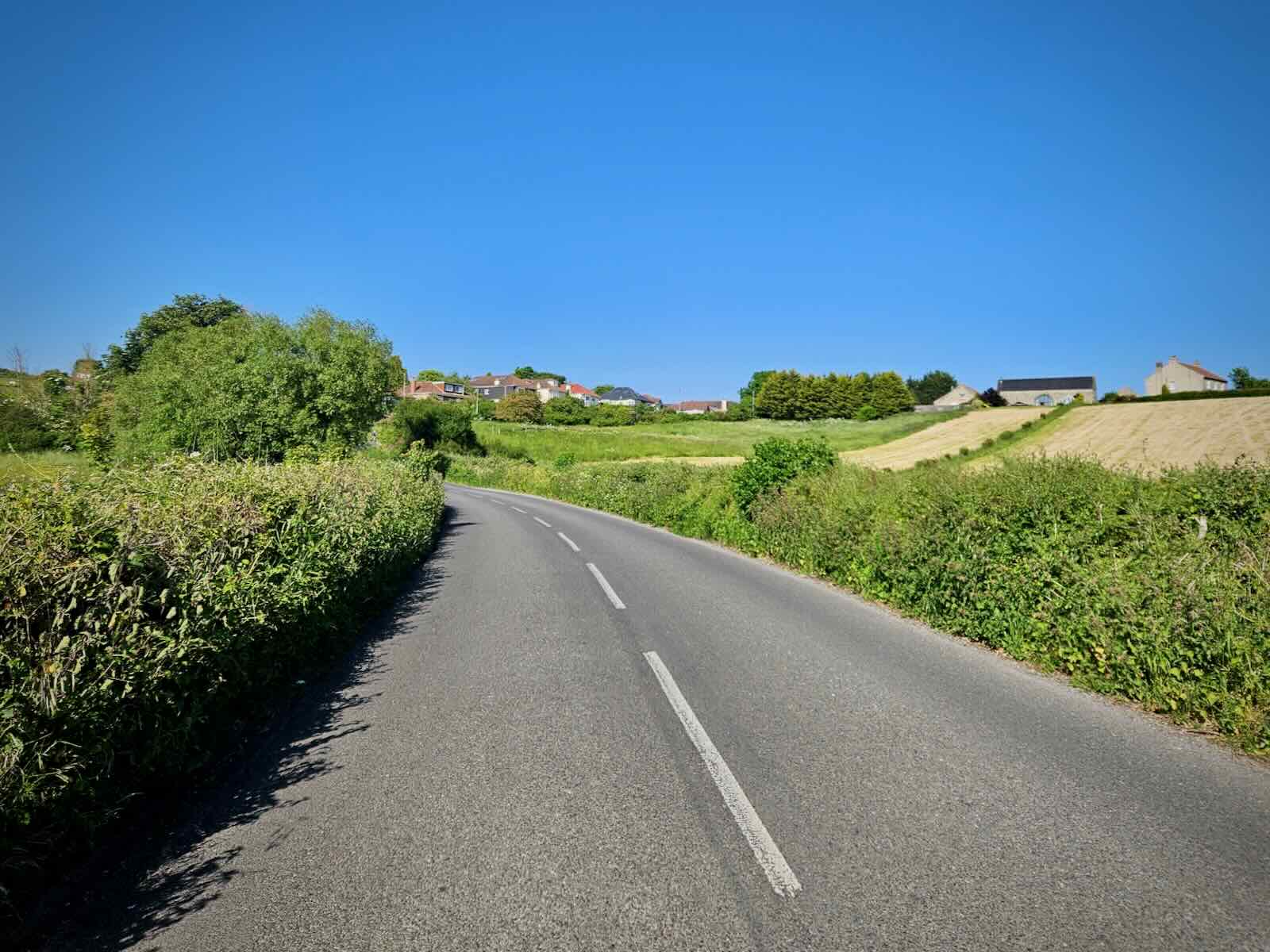
I left the river at Conham Road and proceeded to cycle up Conham Hill. This was pretty hard going in the heat, with too much fast traffic coming up behind me. I was starting to regret not just following the same route back!

Things flattened out a little as I continued along Memorial Road, passing over the A4174. But then the hills were back as I made my way up Court Farm Road. I could really feel the hot afternoon sun beating down on me now.
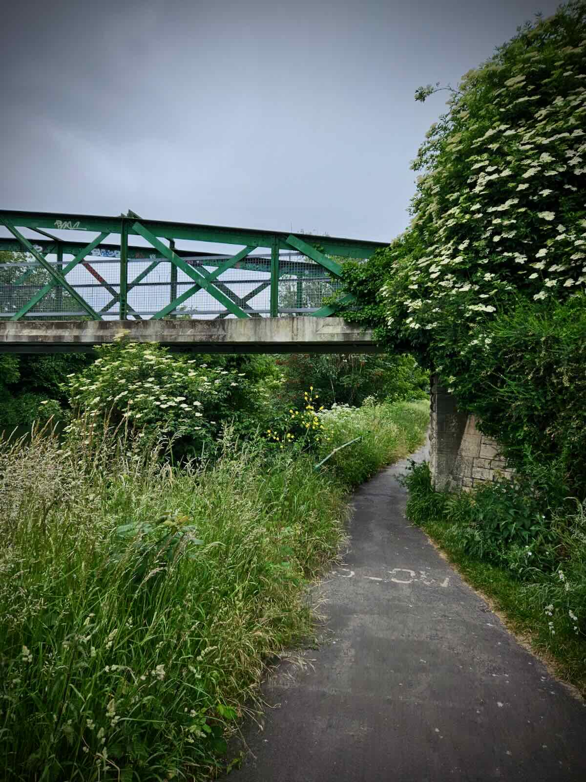
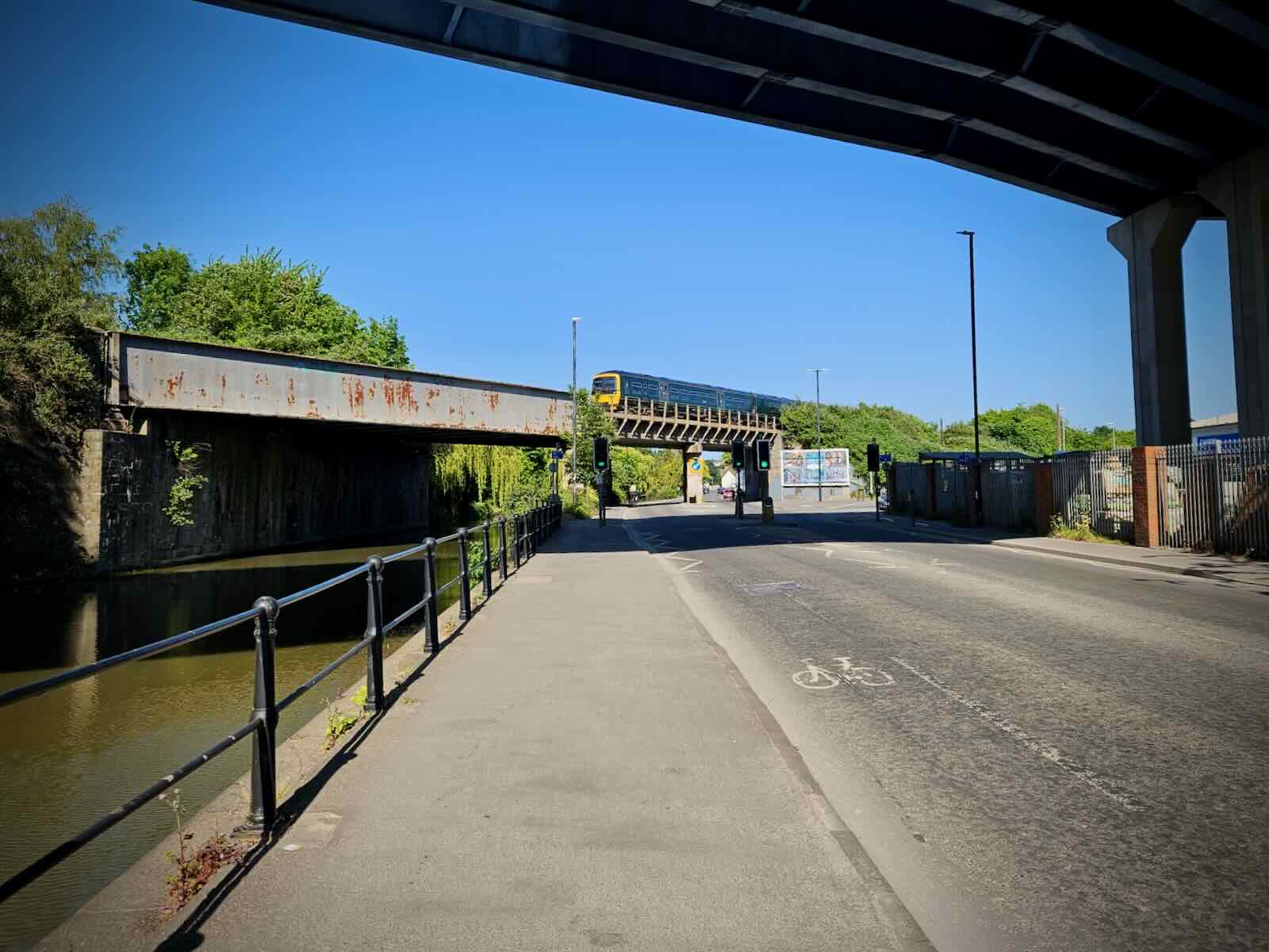
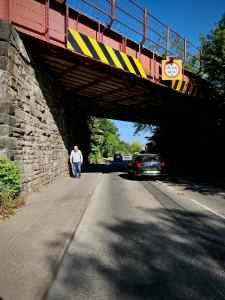
Soon I passed under the Bristol and Bath Railway Path on Bath Road, which gave me opportunity to rejoin the railway path for the remainder of the ride. With the route free of traffic and gentle gradients, I was pretty happy about this.
Back on the railway path, I passed a lot of people heading the opposite direction, decked out in their swimming gear, clearly heading for the river. What a fantastic way to spend a sunny June afternoon.
I was soon back at the Fieldings Road Footbridge, where I left the path and made my way back to our holiday home, after a thoroughly enjoyable ride.
While either ends of the route in Bristol and Bath may leave a little something to be desired when it comes to cycling, the most famous rail trail route in the UK, the Bristol and Bath Railway Path definitely doesn’t disappoint.


I came across this site whilst researching the safest way to cycle to work in Brislington, Bristol. I have not owned a bike for over 15 years so am understandably nervous about getting back on the road! This lovely site, complete with lovely, step-by-step photos along the two journeys has been immensely helpful and inspirational. I now can’t wait to get out there! Thank you Dom :)))
LikeLike
Thanks for the kind words and glad to hear this post has helped you get back on a bike! The roads can be pretty awful, but often you can work out a route that avoids anything too bad, which makes cycling much more pleasant. Good luck with your new commute!
LikeLike