We’ve been waiting with some anticipation for news of the cycle route to RHS Garden Bridgewater opening. Given it’s relatively nearby, we wanted to be able to cycle there, rather than drive, so we’ve been waiting for the walking and cycling path from the Bridgewater Canal to be complete.
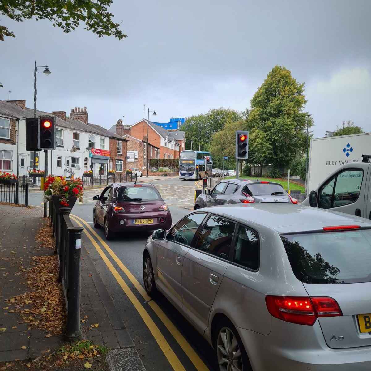
Setting off from Stretford, I headed onto the Leigh arm of the Bridgewater Canal at Watersmeet. This is the first potential obstacle for anyone on a non-standard cycle. While I didn’t need to navigate the bridge itself, it will still be difficult for some to navigate.
Next, I reached another obstacle at Kellogg’s, where there’s a bridge over the entrance to the factory’s canal basin. This was once used to bring goods in and out, but is now disused. The ramp up to the bridge is quite steep and has steps. I can just about get over it on by Gazelle CityGo, but it would be a struggle or impossible for many, particularly on a cargo bike or adapted cycle.
Given the Kellogg’s basin is no longer in use, it’s disappointing that an accessible path wasn’t included here, either by removing the bridge or building a path around it.

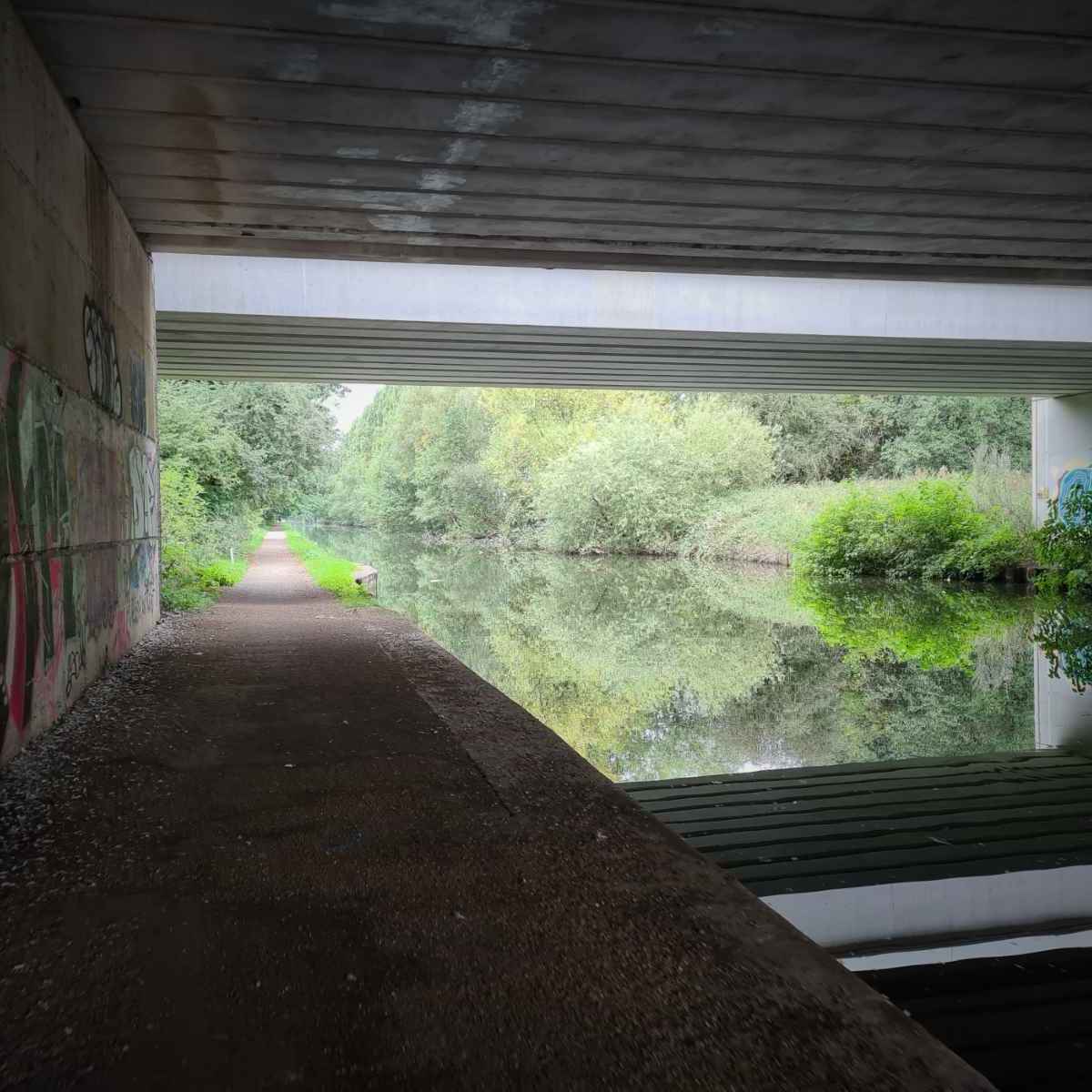
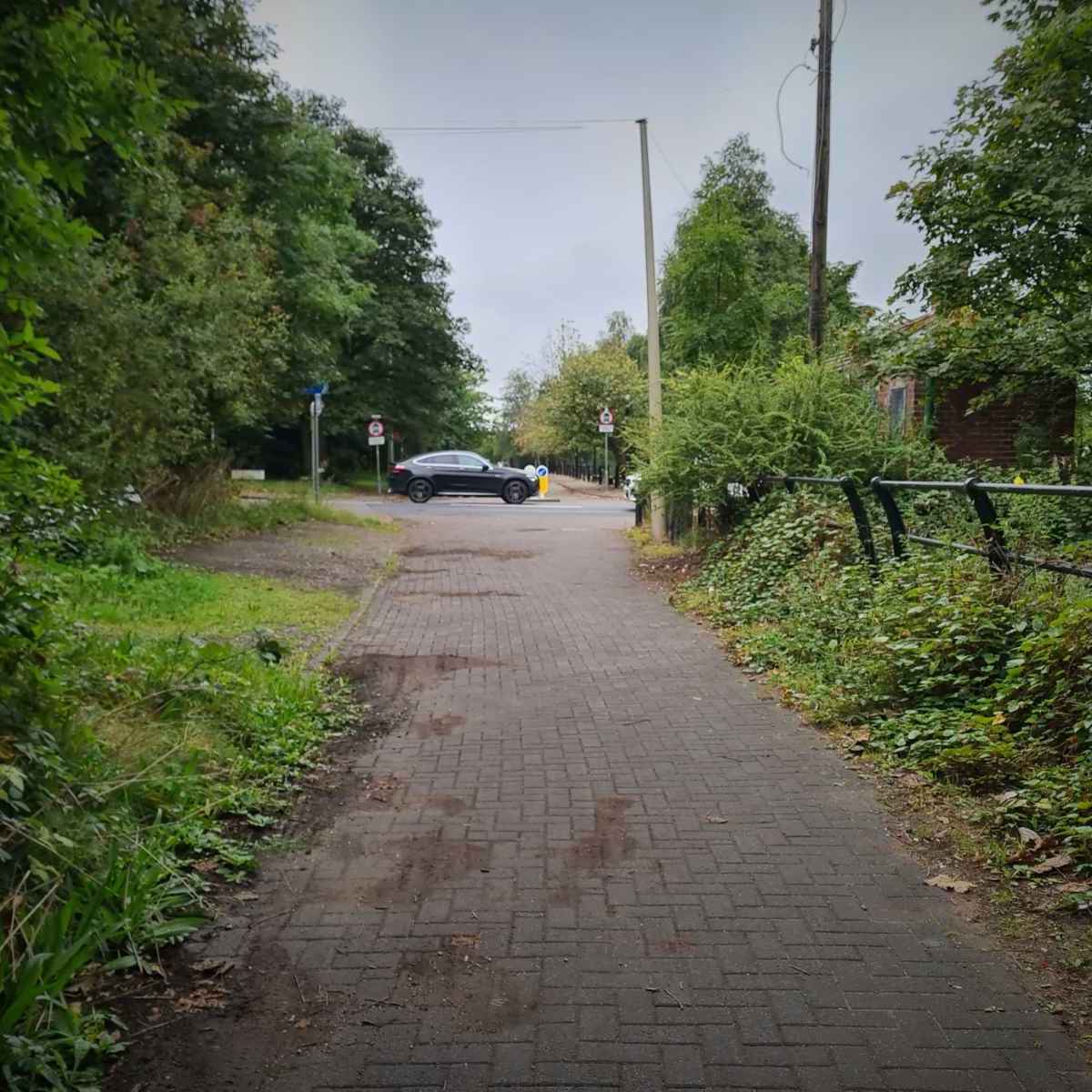
I soon passed under Park Way in Trafford Park and then along next to the Trafford Centre. This is quite a handy route if you do want to go there. It used to be hit and miss whether the gates would be open there, but recently, they’ve generally been open.
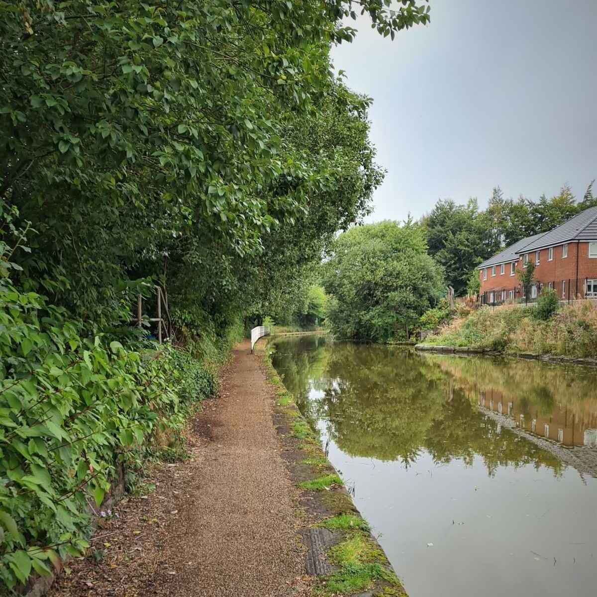
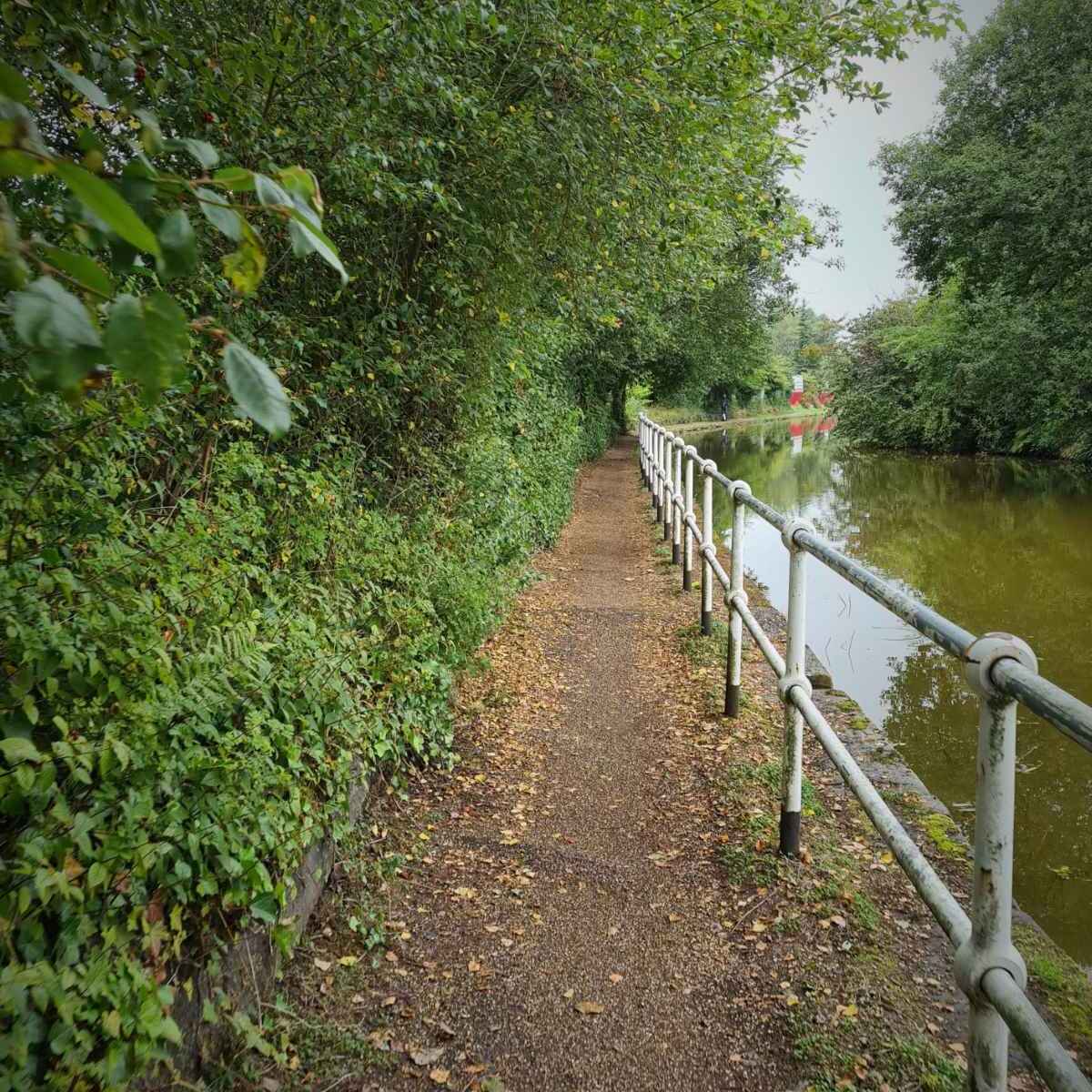
This is one of a number of sections where the path is quite bumpy, due to tree roots. This makes it quite unpleasant to ride, as you end up spending a lot of time trying to avoid the worst of them.
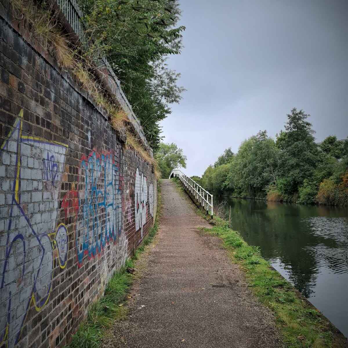
I then reached another obstacle just beyond Ashburton Road West. This was another bridge, passing over what used to be the entrance to a basin of the old Barton Power Station, once used to deliver coal there. The power station is long gone and now home to B&Q, but the bridge remains. This one isn’t as steep at the Kellogg’s bridge and doesn’t have steps, but really, it should have been removed.
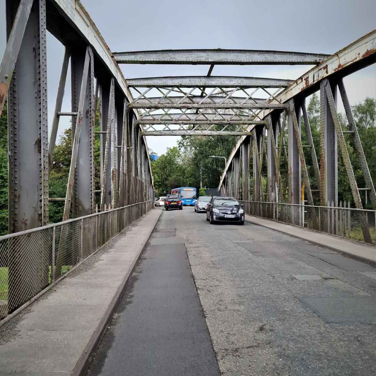
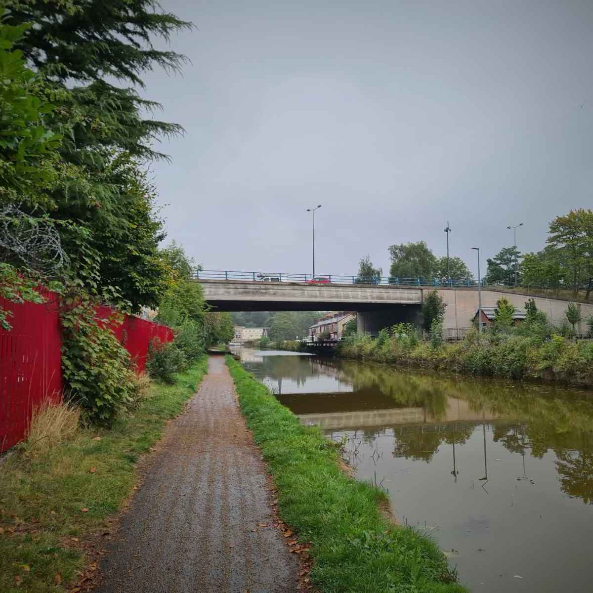
Once over the bridge, I soon arrived at the famous Barton swing aqueduct that passes over the Manchester Ship Canal. Unfortunately, there’s no way of continuing along the canal path at this time, so there’s no other option than going along the road on the Barton road bridge.

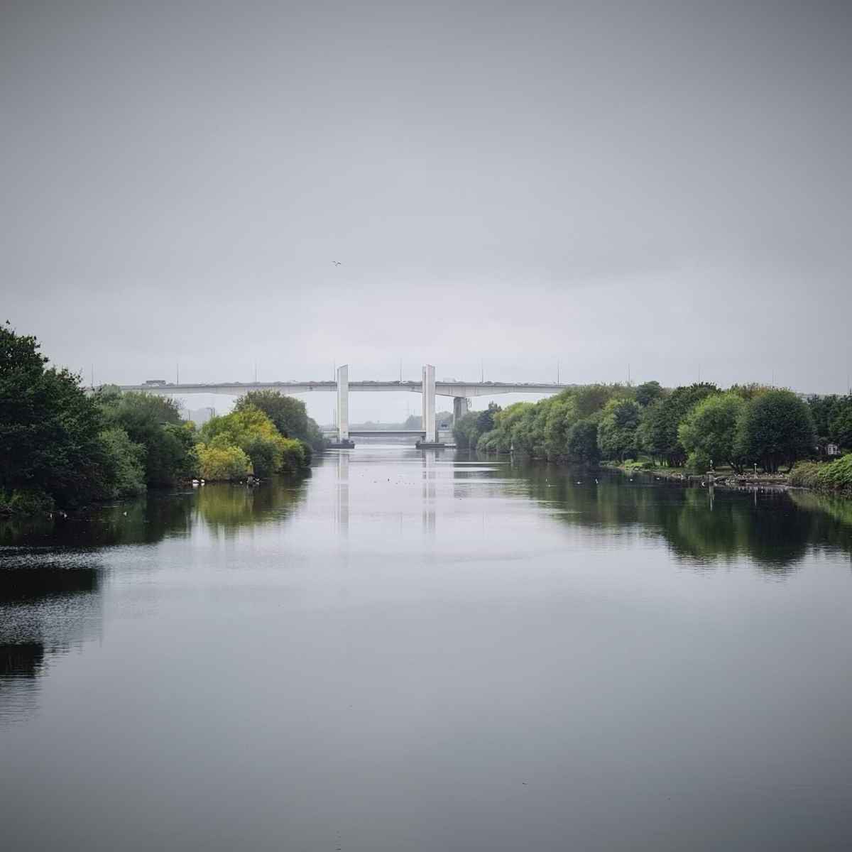
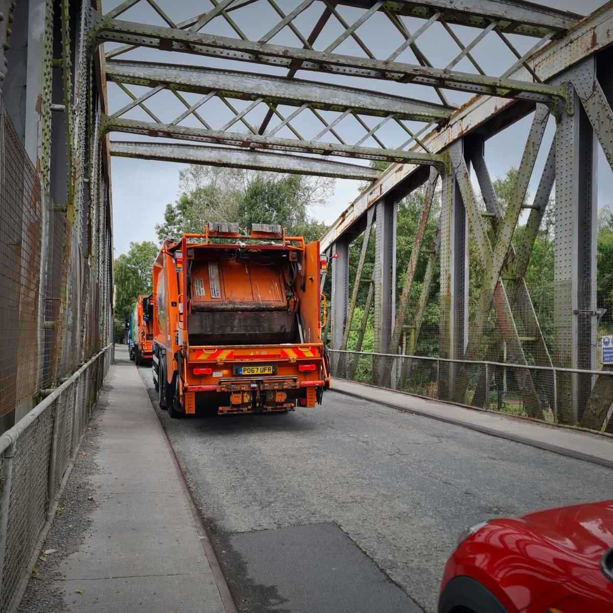
Using the Barton road bridge is really quite awful. It’s narrow, with a narrow footway and carries way too much heavy traffic. This used to be the only way to cross over the ship canal at this point, until a new lift bridge opened next to the high level M60 bridge in 2018, linking to the Port Salford area.
It’s disappointing that three years after opening, traffic remains relatively light on the new lift bridge, while the old swing bridge is as busy as ever. There should have been a commitment from Peel, Trafford and Salford councils to close the old swing bridge to through motor traffic, turning it into a tourist attraction and a walking/cycling route.
There’s a Mayors Challenge Fund (MCF) Beeway scheme to build a walking and cycling path across the aqueduct, linking both sides of the canal path. This is estimated to be completed by July 2022, but given the delays we’ve seen with many MCF schemes, I wouldn’t be surprised if this is delayed.

While I welcome a safe walking and cycling route across here, I believe this should have been achieved by removing motor traffic from the road bridge. I also have concerns about this scheme being funded by the Mayors Challenge Fund, to the tune of £4.8m. This is essentially a traffic-free leisure route and it has multiple accessibility issues and isn’t suitable for use at night. Doesn’t that go against Made to Move / Bee Network principles?

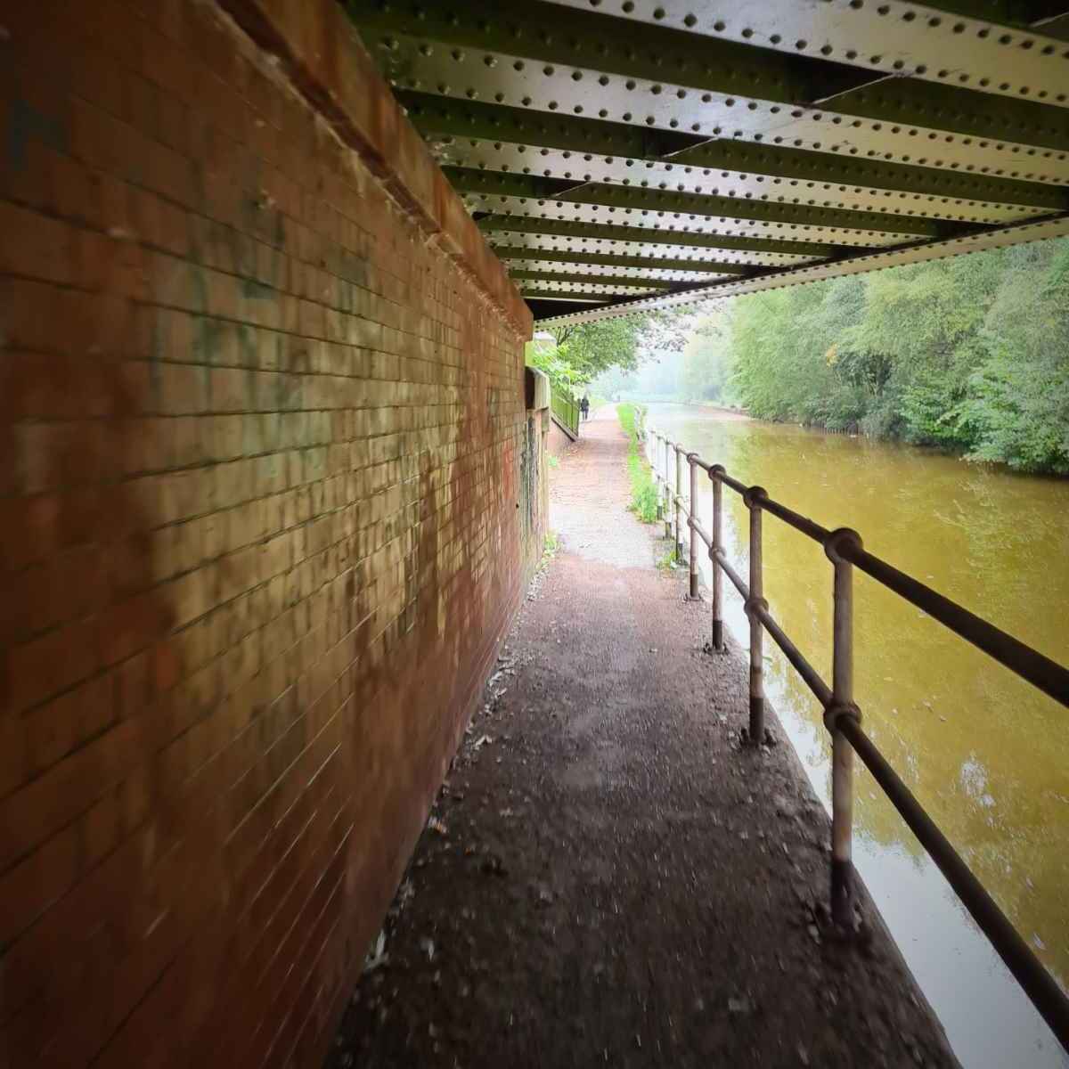
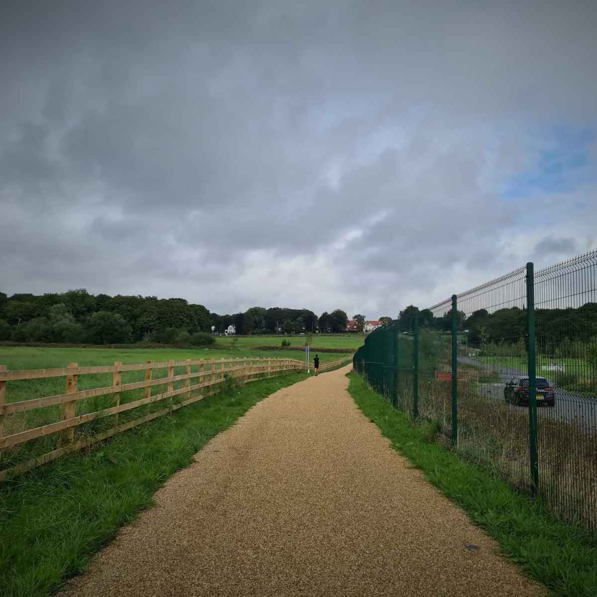
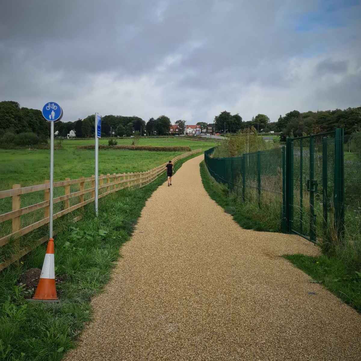
Once over the bridge and through the busy junction, I crossed the road and returned to the Bridgewater Canal path. This section of path is next to Barton Road and a couple of smaller roads. It’s pretty narrow at points, making things difficult if there’s others on the path.
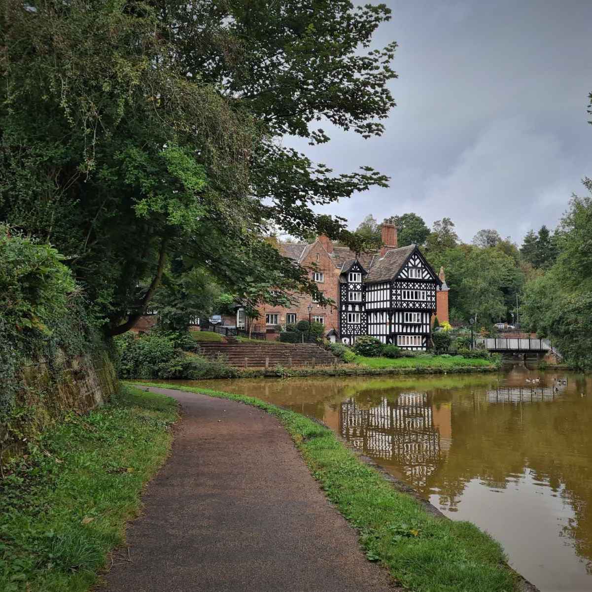
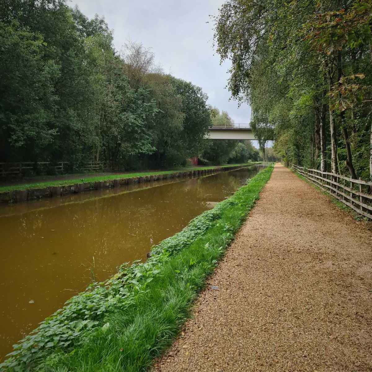
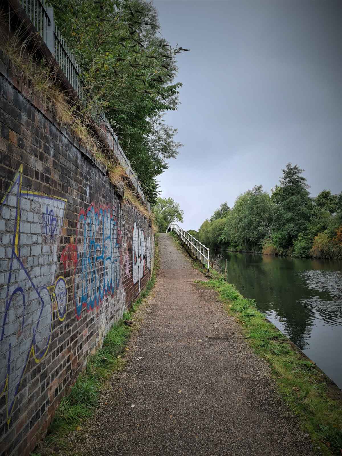
As you approach Monton, the path is both narrow and really bumpy, again due to tree roots. Cycling along here is really quite poor, it feels quite unsafe and difficult to pass people. While the rails stop you from falling into the canal, they unnecessarily take space away from the path, making it even narrower.

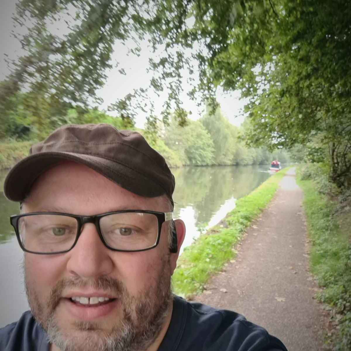
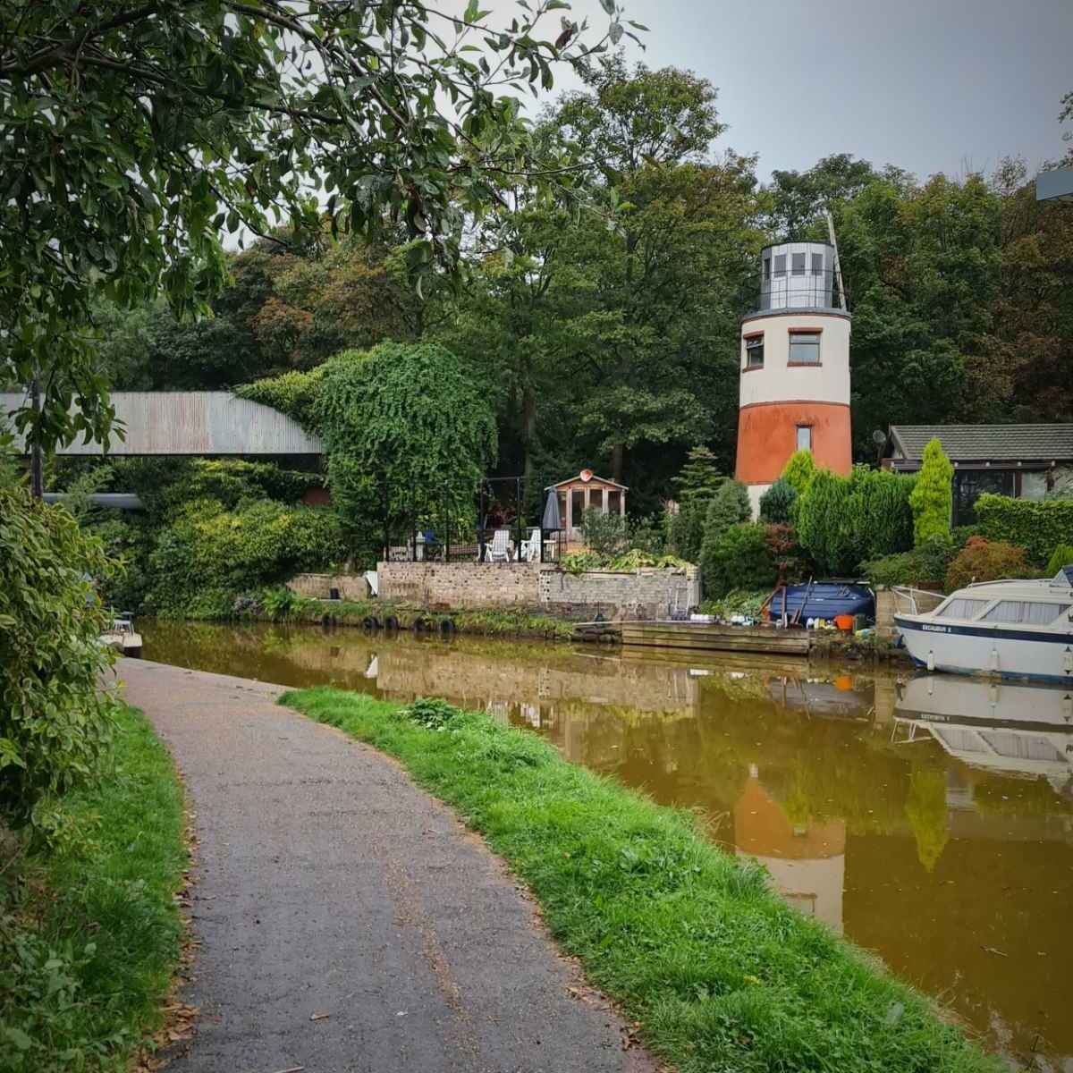
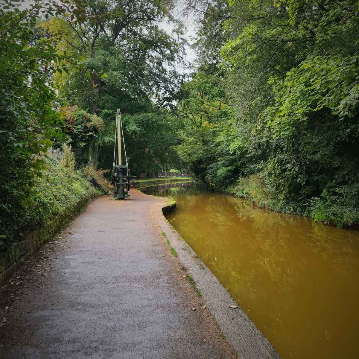
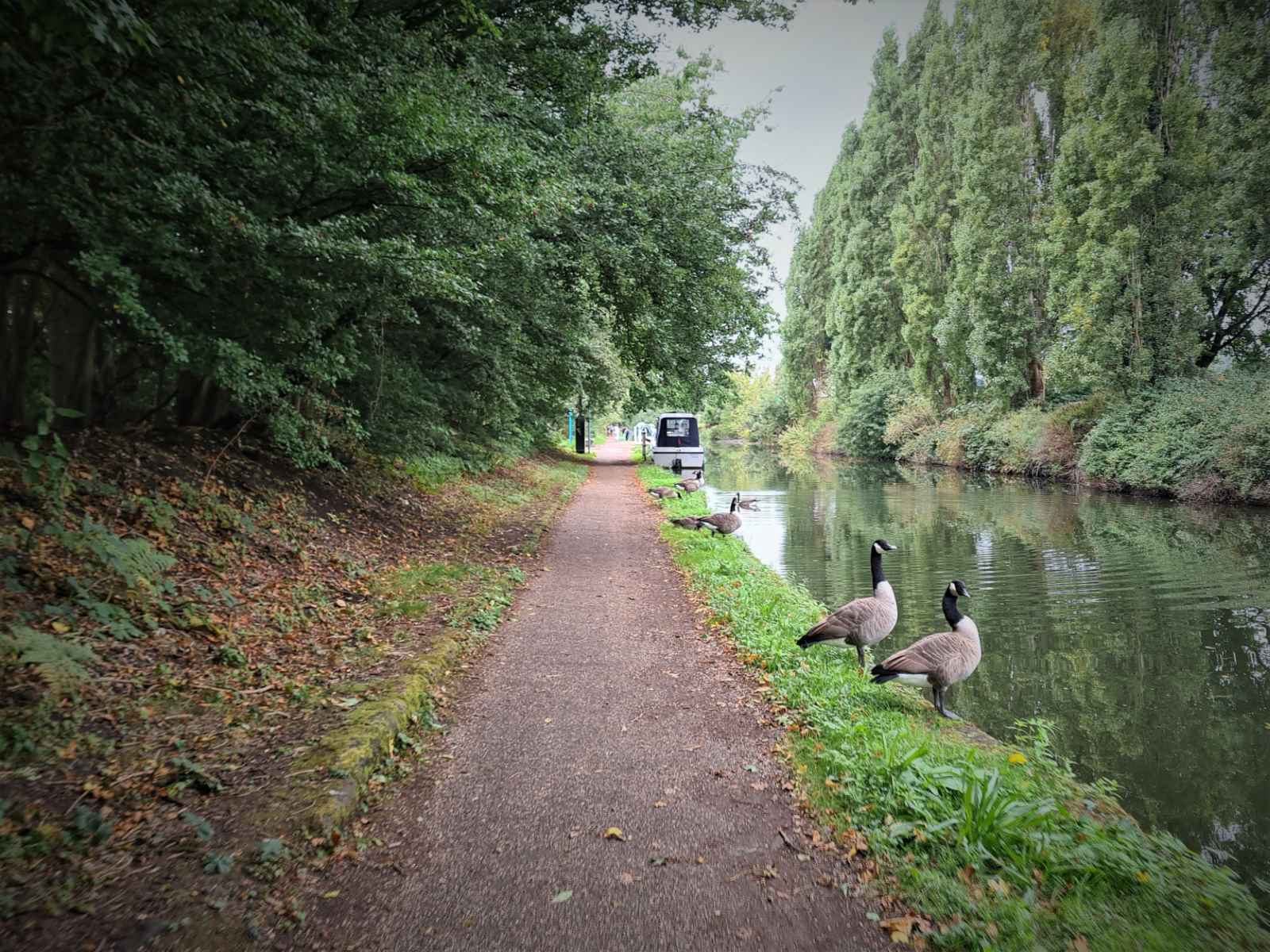
Once through Monton, the path improves as you head towards Worsley. The water also turns its distinctive orangey brown, due to the presence of iron from the mines at Worsley. The route gets a bit busier at this point, mainly with people out walking and dog walkers.
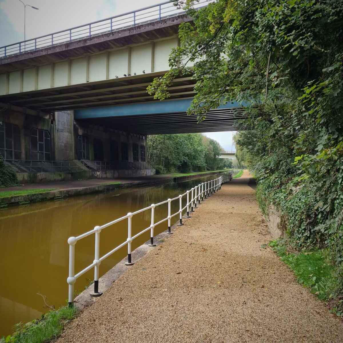
I soon arrived in Worsley and continued on along the path, passing under the M60. I carried on along the path, until I realised I should have crossed onto the other side back in Worsley. I turned back round and came off the path onto Barton Road. I then crossed over the canal on the road bridge and turned left into the car park, where the walking and cycling link to RHS Garden Bridgewater starts.

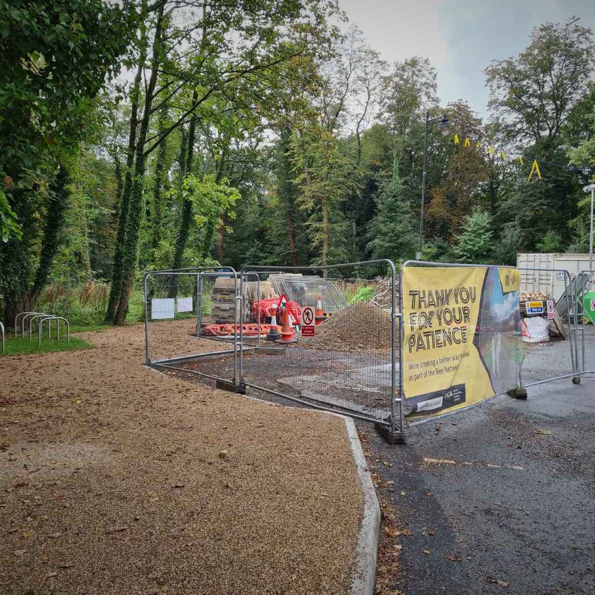
I was pleased to see the path was fully open. Earlier in the week, there was still barriers blocking access to the path, though some people were getting past the barriers and using it anyway.
In the car park, there were some Sheffield stands for cycle parking, a pump and tool stand. While these are useful, I’m not really sure about their location. It’s quite a secluded spot, so it’s not somewhere I’d park my bike. I also wonder how well the pump and tools will stand up to vandalism.

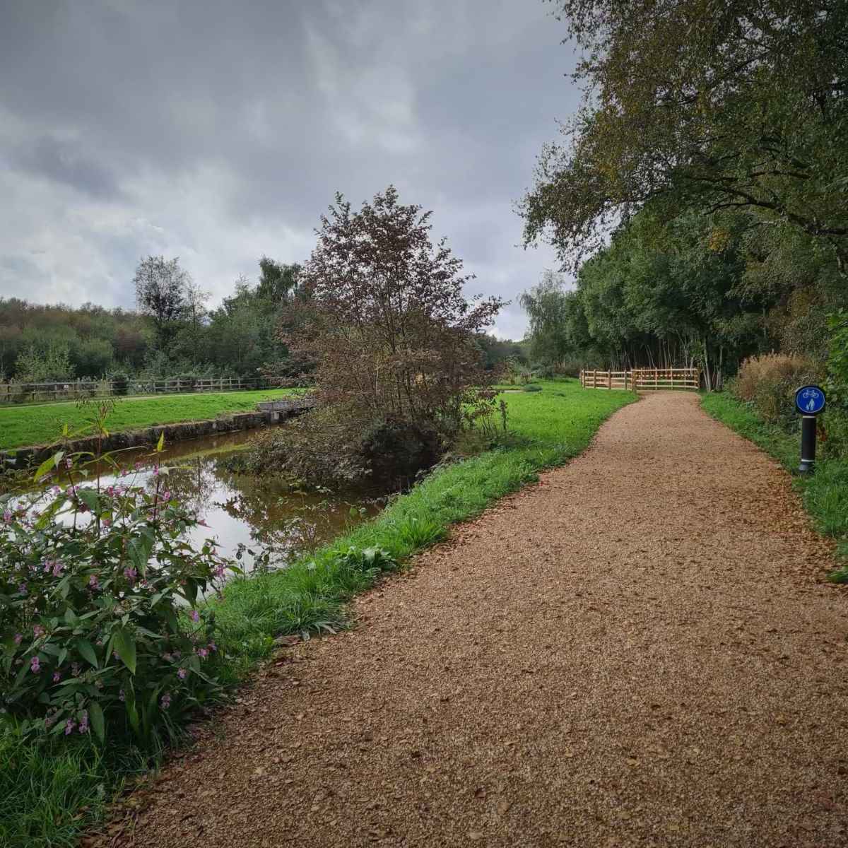
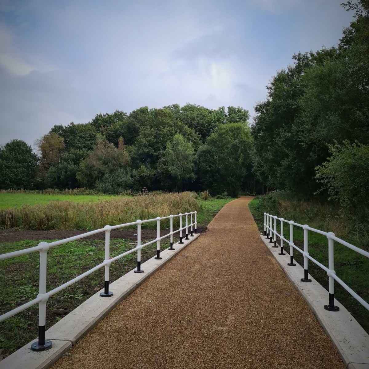
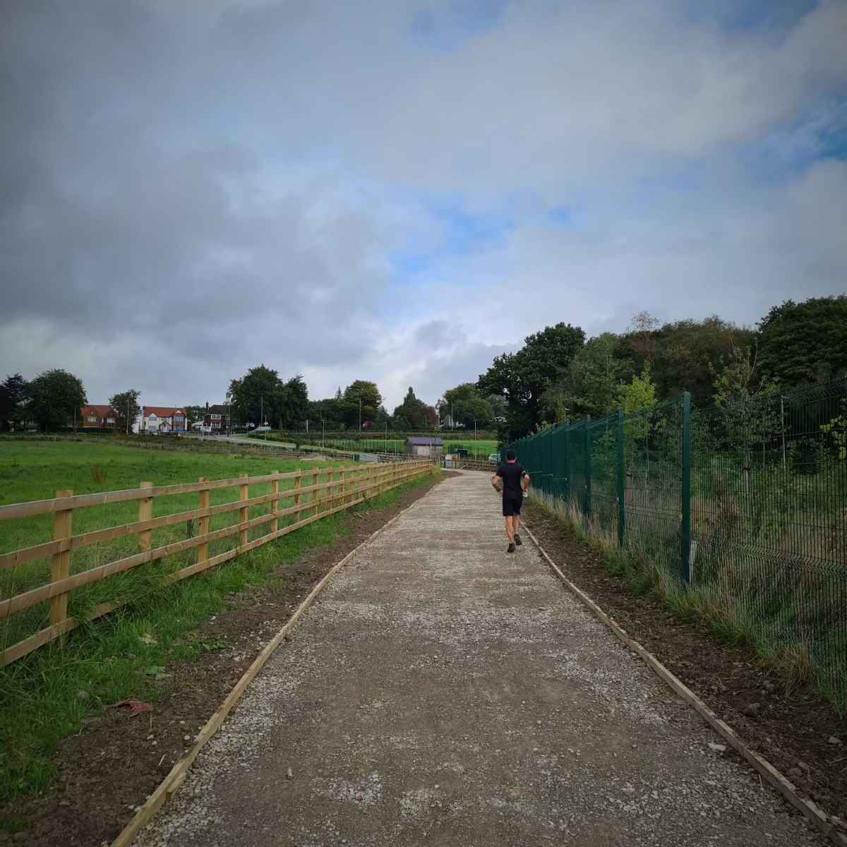
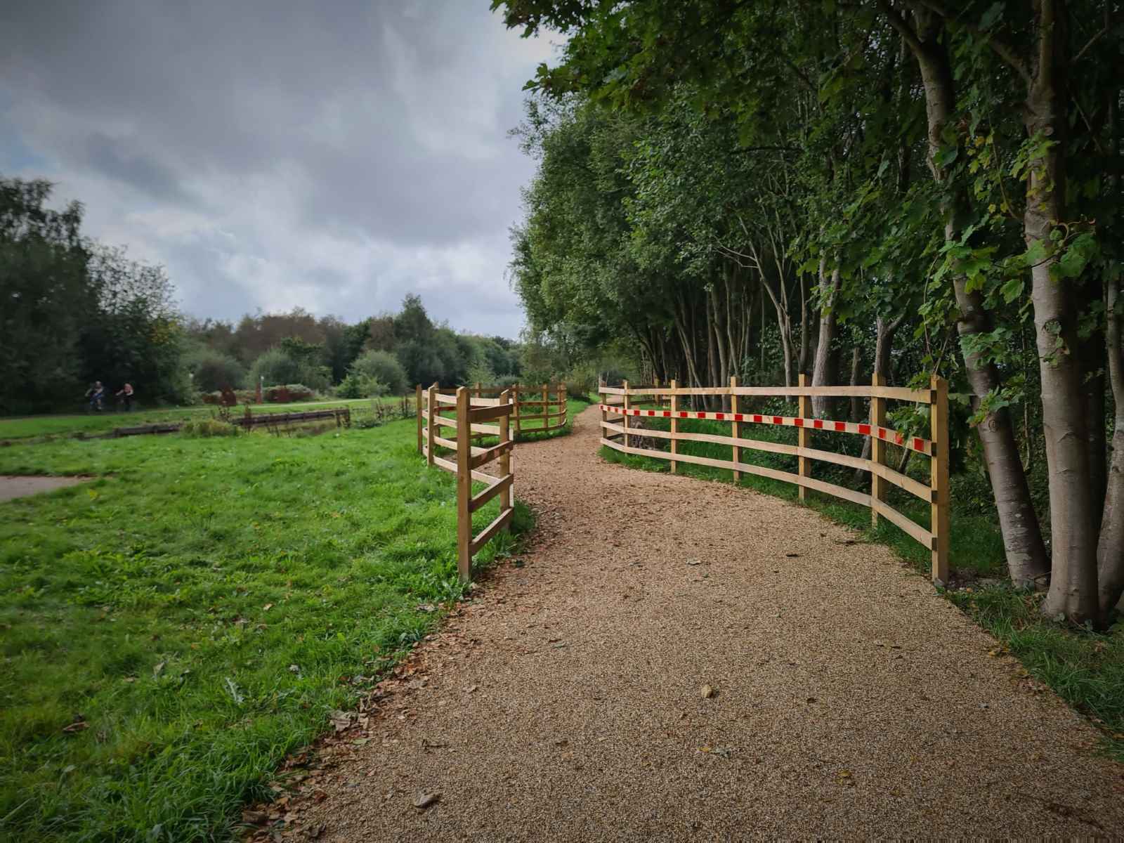
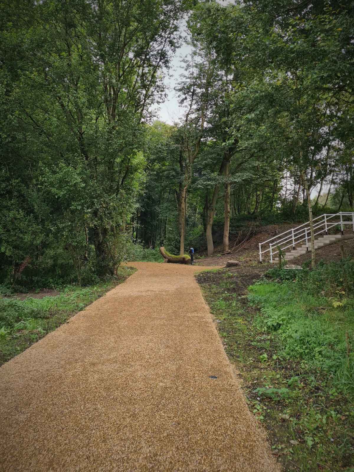
Leaving the car park, I set off on the new path towards RHS Garden Bridgewater. At 3m, the path is wider than most of the existing canal paths, which is good. The surface is similar to the existing paths, with loose stones on top of what I assume is a sealed surface below. While this clearly better than a unsealed loose stone surfaces you see on many traffic-free routes, I’d still prefer there to be a fully sealed surface, such as asphalt or a resin bound composite surface.
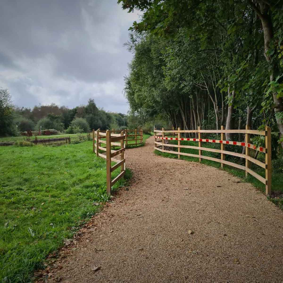
Thankfully, there’s no pointless and inaccessible barriers along here, like you see on some stretches of the Bridgewater Canal path, such as in Stretford and Sale. Instead, there’s a number of chicanes along the way, which I’m assuming are there to slow cycles down. While these are clearly much better than barriers, I do wonder how much benefit they actually bring, given they lead to unnecessary conflict.

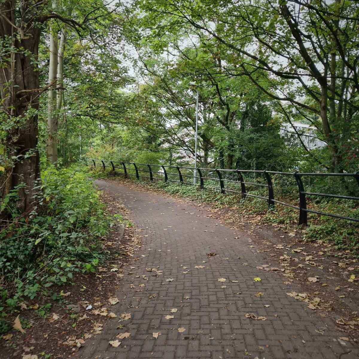
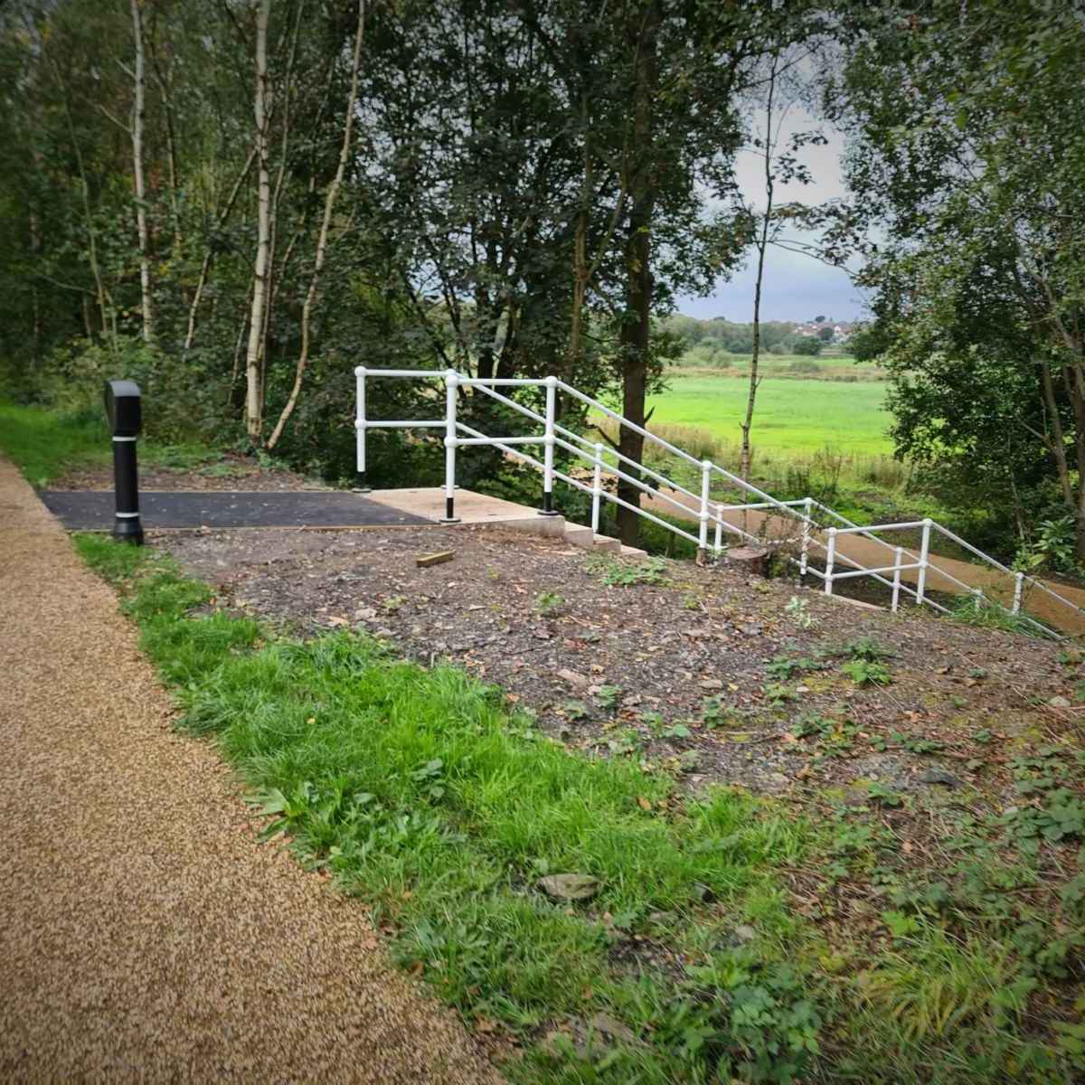
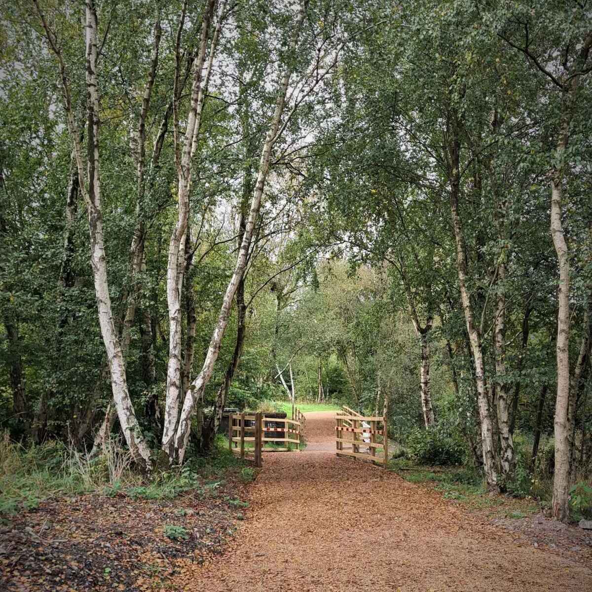
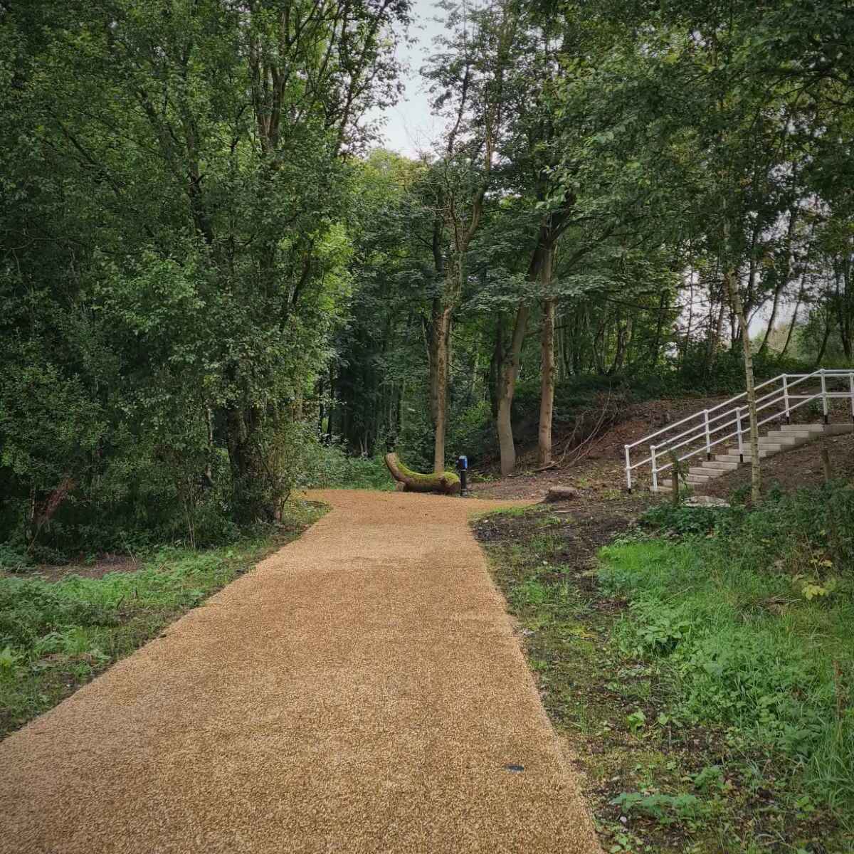
Quite soon, I passed the steps down from the canal and reached the ramp access to RHS Garden Bridgewater. The ramp has been done well, with a gentle gradient, making it relatively easy to ride up. It doubles back on itself as you pass the steps and head into a wooded area, where there’s some benches. This is all very pleasant and well implemented.
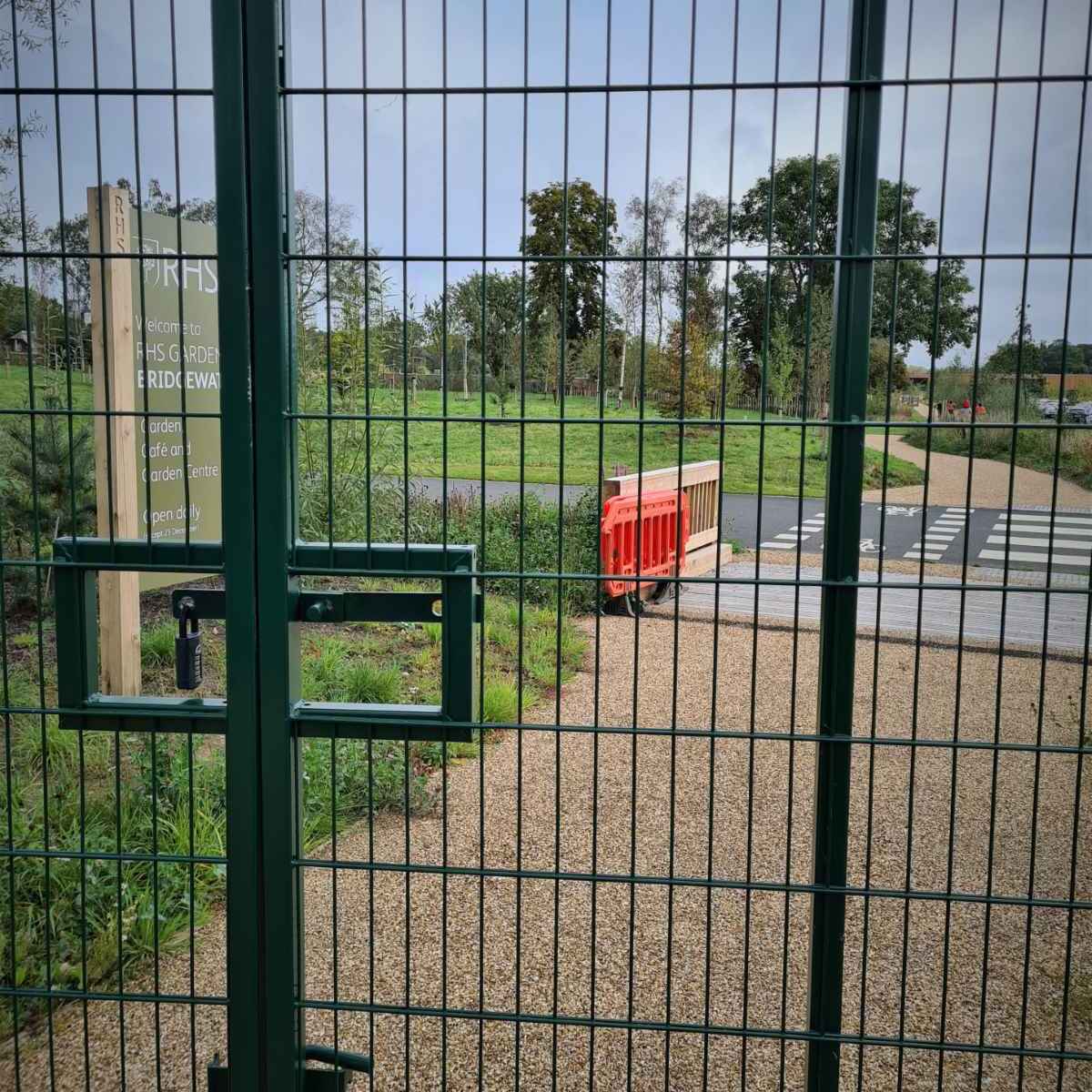
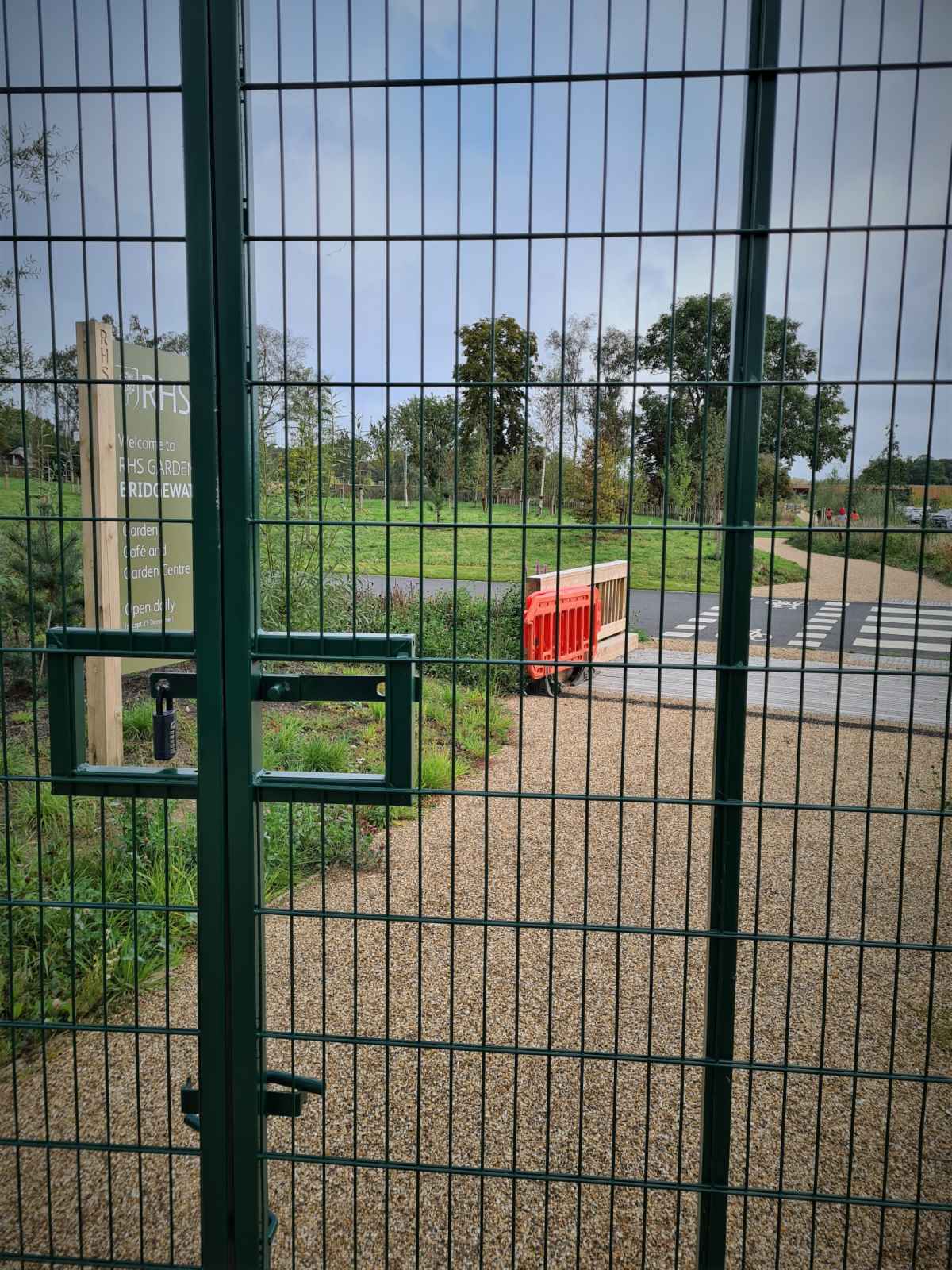
Once out of the wooded area, I was out in the open and riding next to the huge car park at RHS Garden Bridgewater. The path starts at a gentle incline that increases as you continue. I arrived at a gate, which should have given access into the car park, across a parallel crossing. This was locked unfortunately, I’m hoping that’s just because the path in newly opened.
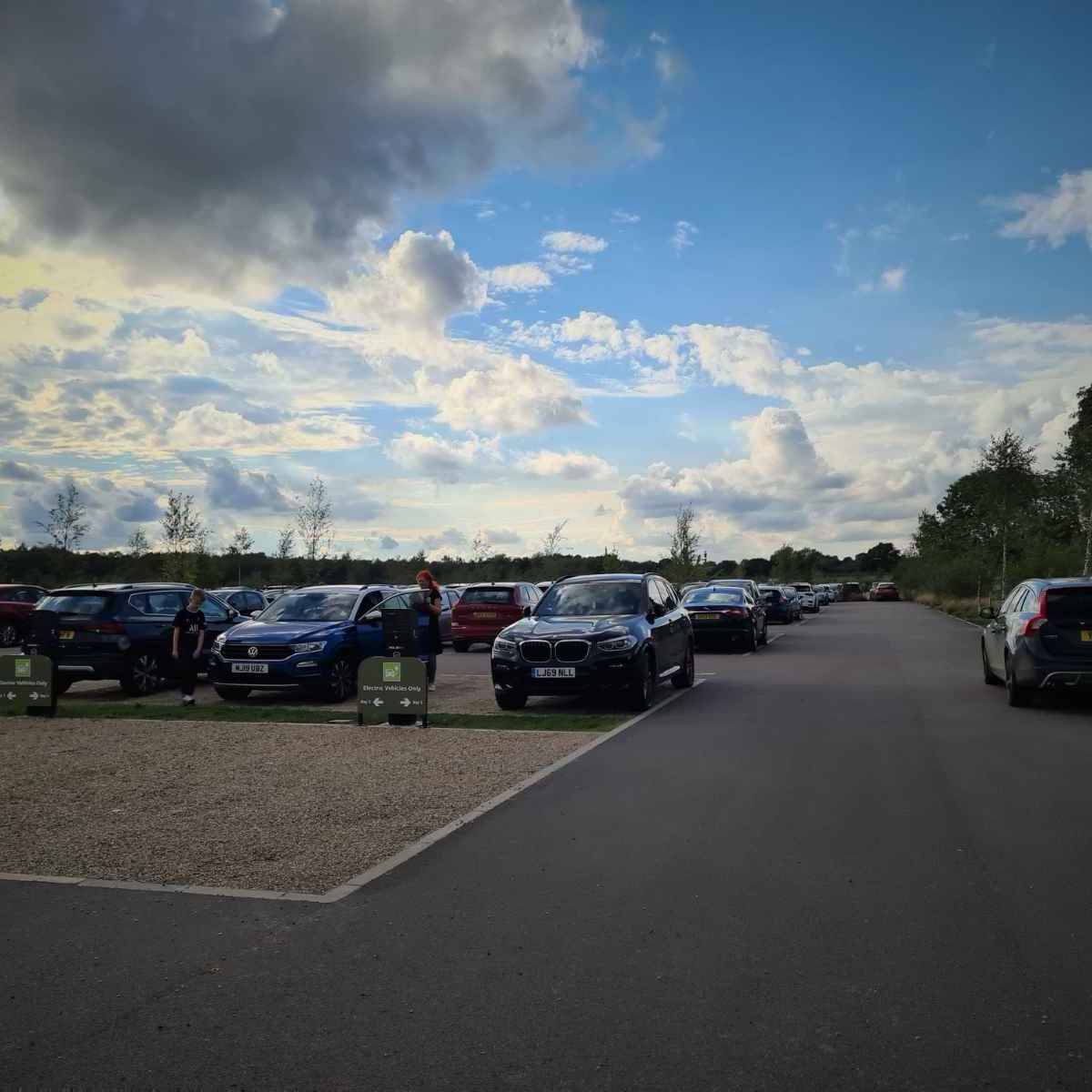
I carried on further to the end of the path, which gets quite a bit steeper and was unfinished. I came off the path and headed into the rather large and busy car park. At this point, I felt like I’d taken a wrong turn and ended up in the Trafford Centre car park!
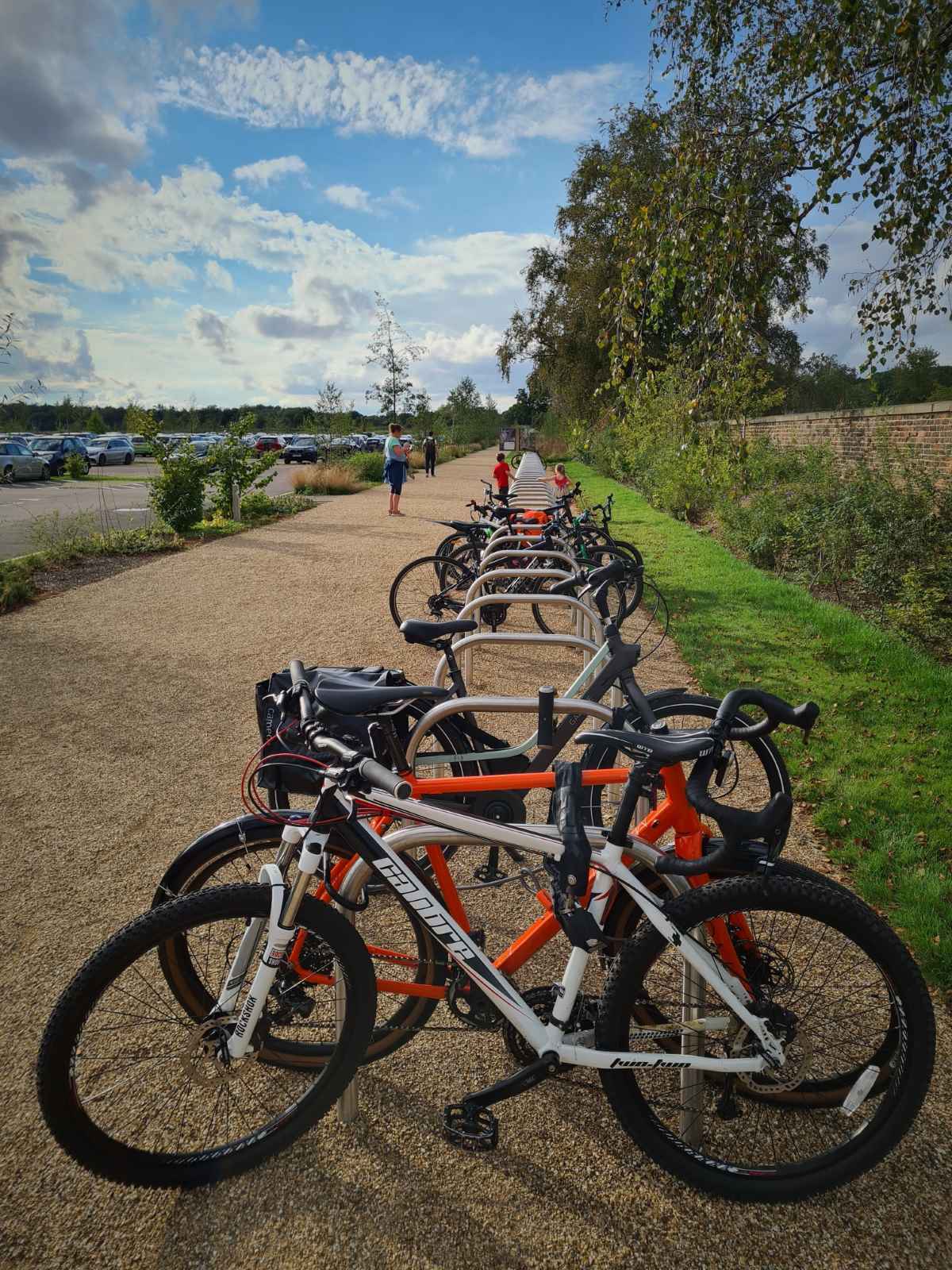
Thankfully, there was a huge number of Sheffield stands for cycle parking, located close to the entrance, which is something of a rarity. While it’d be nice to see these covered and spread a bit further apart, it was still much better than anything I’ve seen at similar locations.
There weren’t many people taking advantage of the cycle parking and substantial discounted entry price for green travel when I was there, as there were only a handful of bikes when I arrived and a few more when I left. I’d expect this to increase once the new paths are fully opened and publicised.
With the addition of the new walking and cycling route, it’s great to be able to cycle to a new local attraction like RHS Garden Bridgewater. We’re definitely more likely to go, if we’re able to cycle there and I’m sure many others will too. While this great for some, the numerous accessibility issues along the Bridgewater Canal path will mean the route isn’t usable by many, especially those using an adapted cycle or cargobike. That isn’t good enough.
Map
Gallery