

While I’ve covered many cycle routes abroad and a few around the UK, I’ve been meaning to do the same for the rides I do locally around Manchester.
So, Inspired by Laura Laker’s fantastic book Potholes and Pavements: A Bumpy Ride on Britain’s National Cycle Network, here’s the first in what may become a series, featuring sections of the UK’s National Cycle Network.
There’s typically two routes I ride to Stockport from Stretford, that have significant traffic-free sections, so avoiding the worst of the roads. The options are either going via the Mersey River Path or the Fallowfield Loop. I usually combine both on a single ride for a bit of variation.
To Stockport on the Mersey River Path
Starting with the route along the Mersey River Path. This does include more road sections than I’d like. Where I can, I do this on quiet roads, though it’s not always possible.
Starting at Longford Bridge on the A56, I went down to the Bridgewater Canal to join the path towards Stretford. As leisure routes go, the Bridgewater Canal path is okay, but could definitely be better.
The current path was put down about 10 years ago and done pretty poorly. It’s bumpy and prone to surface water, though it is at least sealed. It’s also fairly narrow, which leads to conflict, particularly when it gets busy.
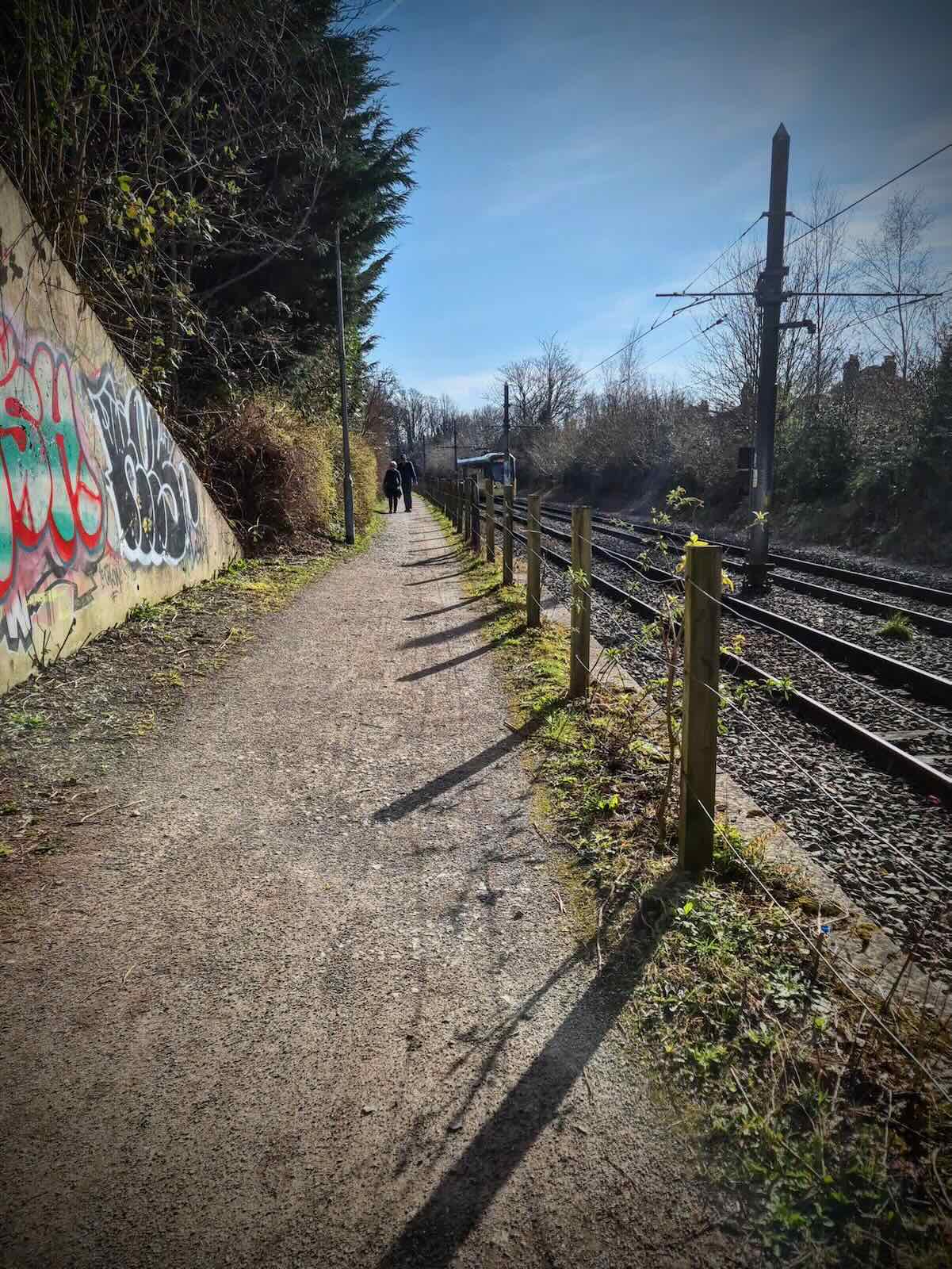
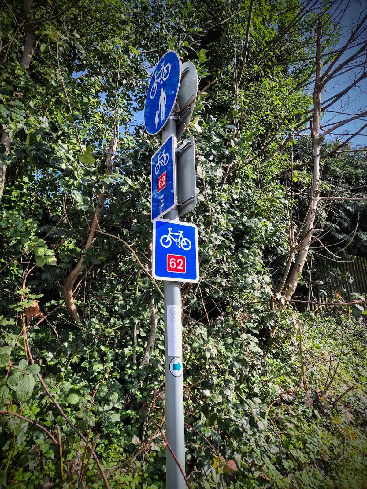
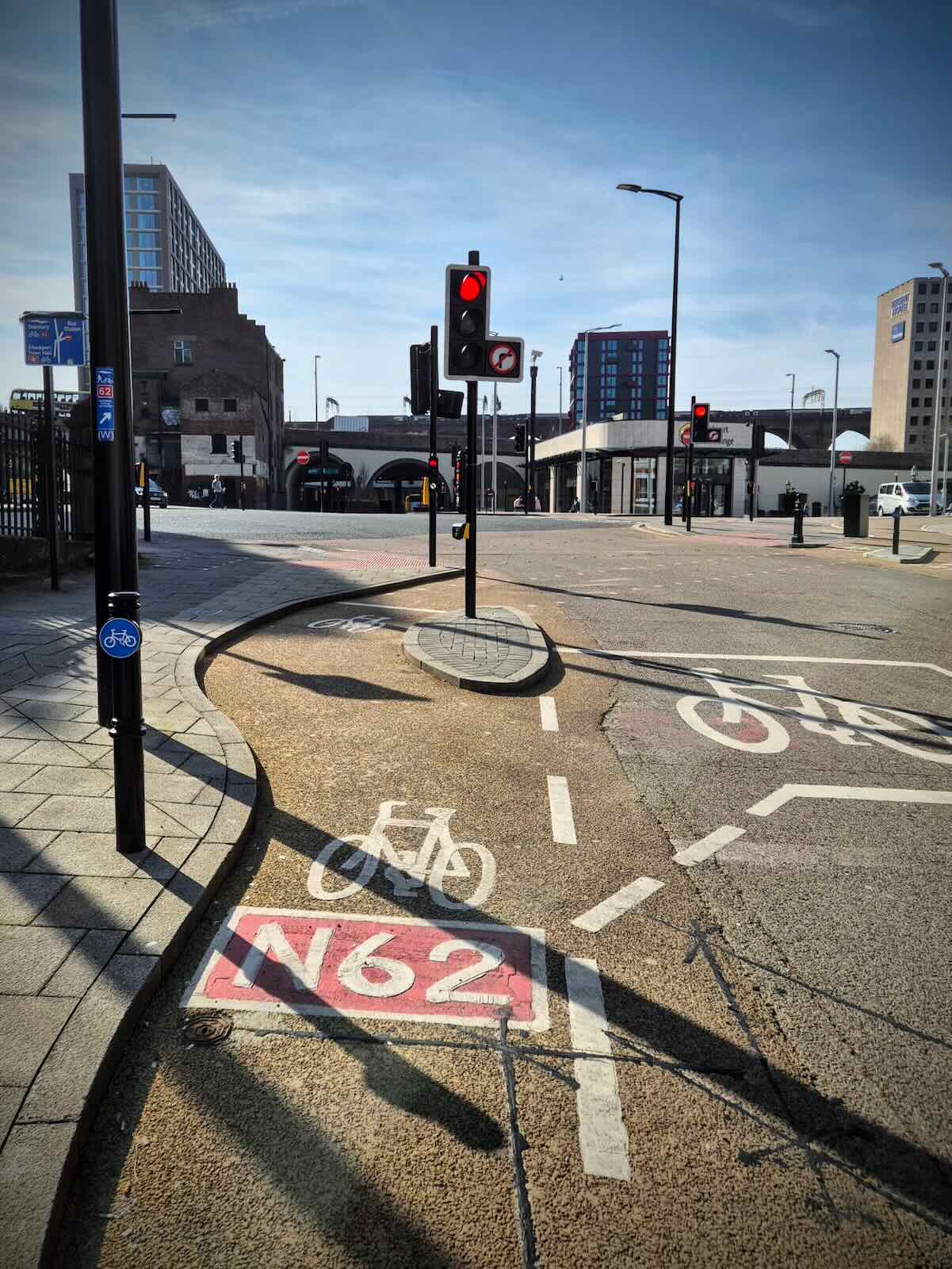
Just after the Watch House Cruising Club, which has chicanes outside it to lower speeds, but actually cause accessibility issues, I turned right onto the path down to the Trans Pennine Trail (NCN 62), then right again to carry on along the NCN 62.

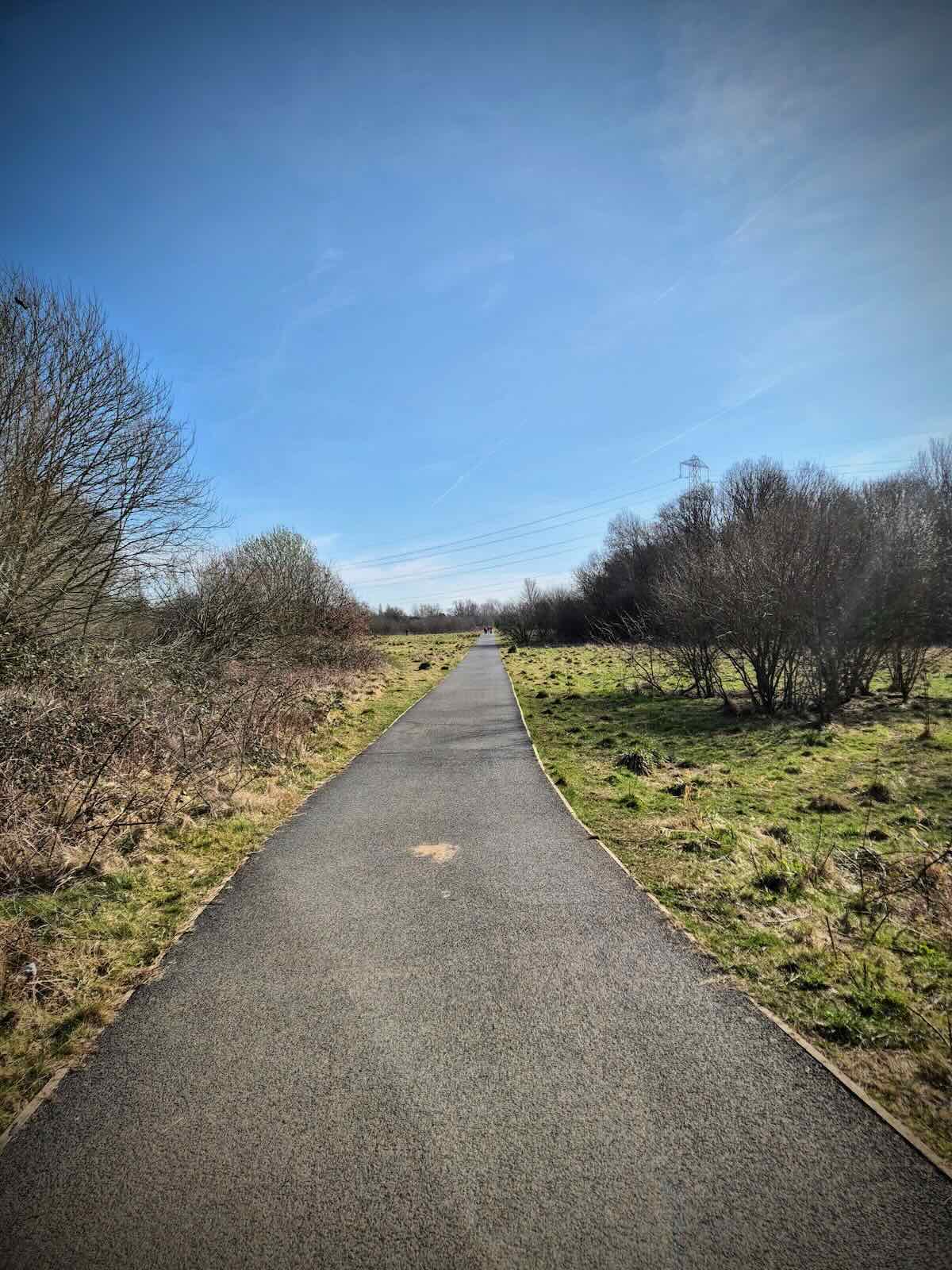
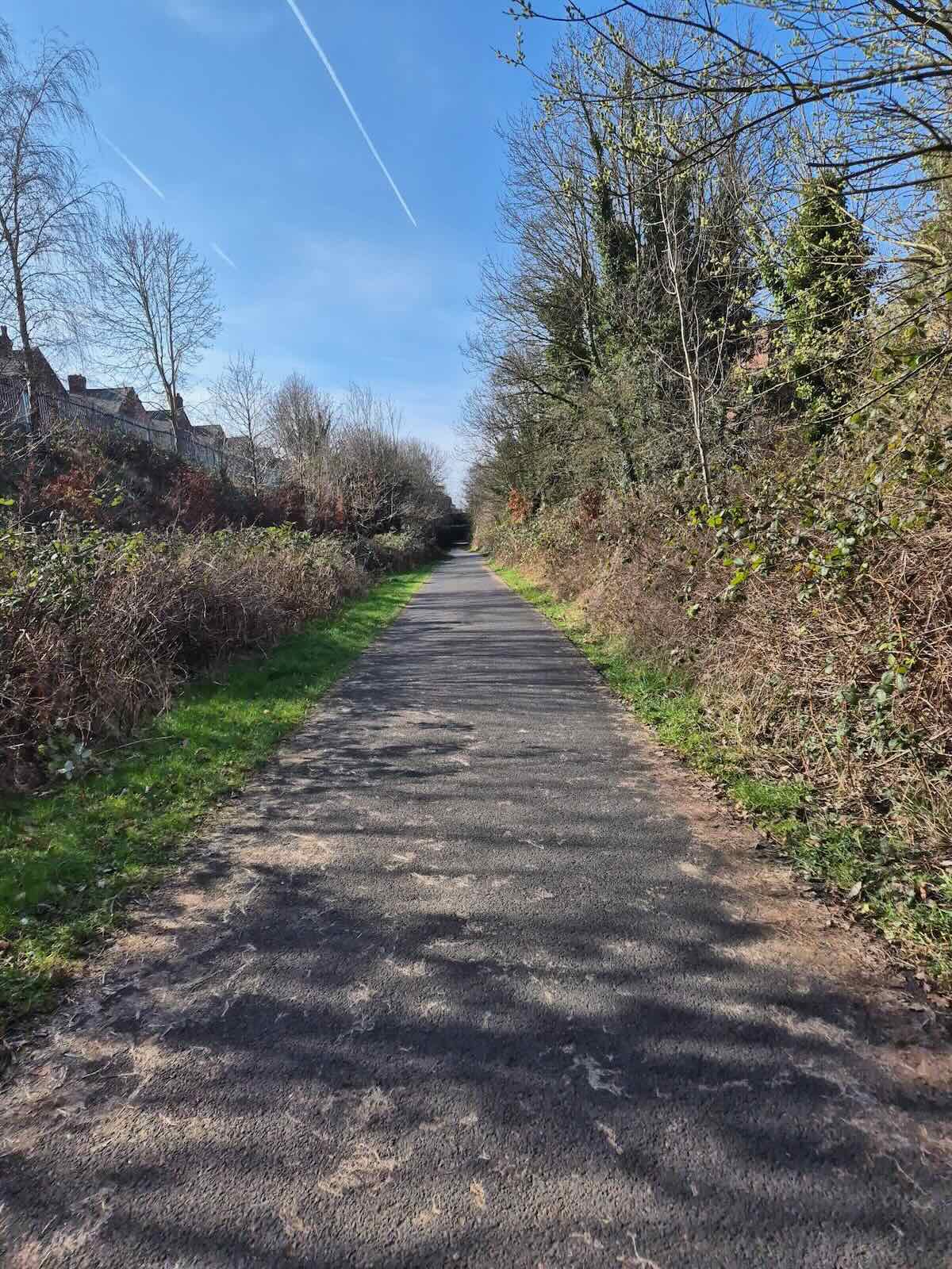
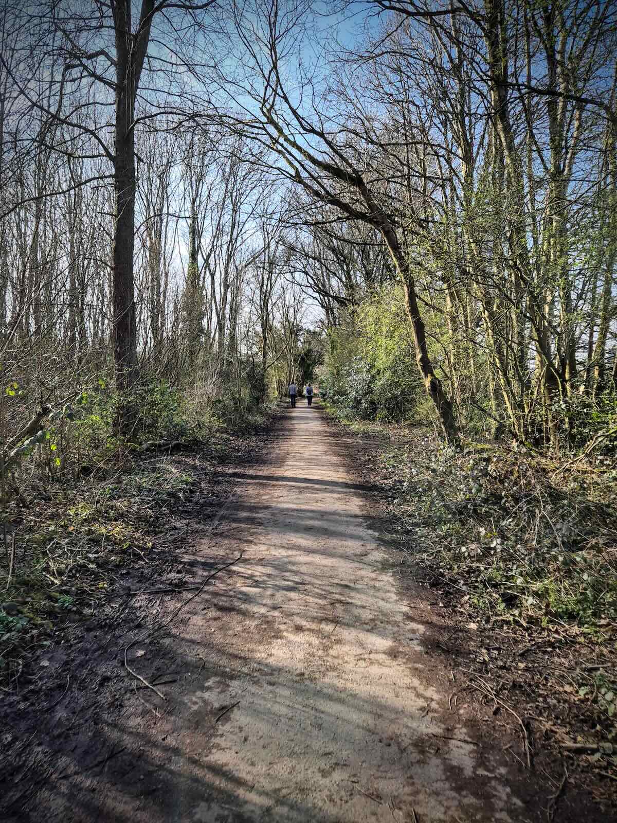
At this point I passed under the canal and Metrolink line as I cycled along Hawthorn Road on the Trans Pennine Trail (TPT). The route along here passes through Turn Moss on a combination of sealed and unsealed paths, with bumpy and muddy sections on what is the Mersey flood plain. At least the inaccessible A-frame barriers have been removed.
I turned left at the fork in the path and continued along Hawthorn Road, leaving the TPT for now and heading into Chorlton. There’s another chicane before the path reaches the road, which is pretty narrow. It’s been partially removed a few times, but always gets reinstated, which is very disappointing.
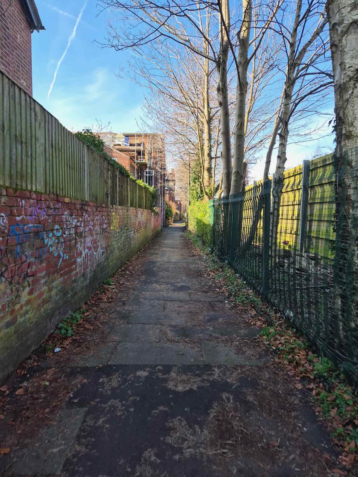
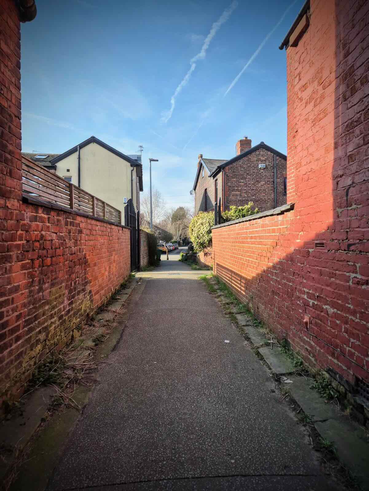
Now on the street, I made my way towards Chorltonville, along Ivy Green Road and Brookburn Road, then through Chorltonville on West Meade and South Meade. There’s then a short path with more chicanes, which felt like it was built to keep the riff raff out and takes me out of Chorltonville and onto Hurstville Road.

For those that don’t know, Chorltonville was originally built as part of the garden village movement, to provide affordable rental housing for skilled artisans and is wholly privately owned, including the roads and green spaces. As you might expect, nowadays it’s anything but affordable.
Crossing Hardy Lane, I continued along Darley Avenue that features some really annoying speed bumps, which don’t appear to slow cars down. It also has significant amounts of pavement parking, despite being quite wide, with dedicated parking bays that don’t get used.

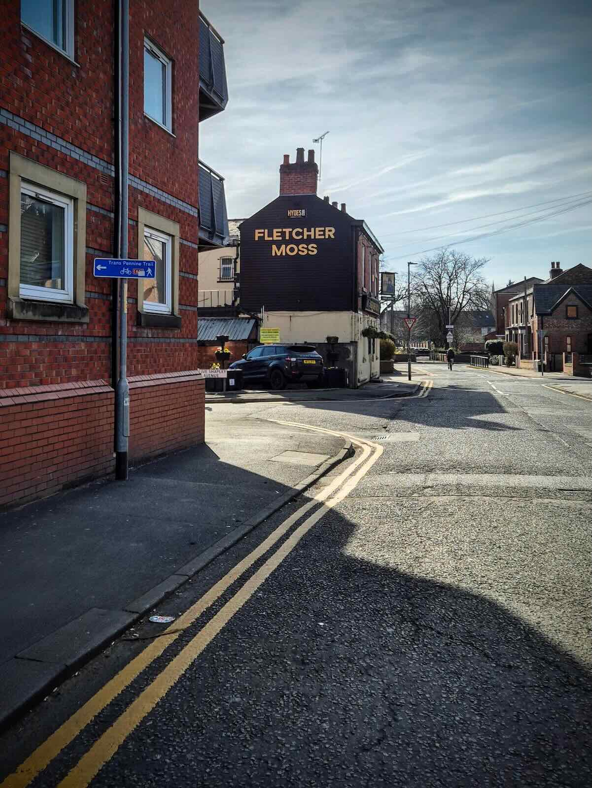
Continuing to the end of Darley Avenue, I crossed Princess Road using the signalled crossing (not technically allowed for cycling). I carried on along Darley Avenue to where it meets Barlow Moor Road, where I turned right towards Didsbury Village.
Now, this is probably the worst section of the route along the Mersey River Path, as Barlow Moor Road can be pretty busy and drivers have a tendency to close-pass, so you need to make sure you take the lane, which is not always appreciated by the impatient.
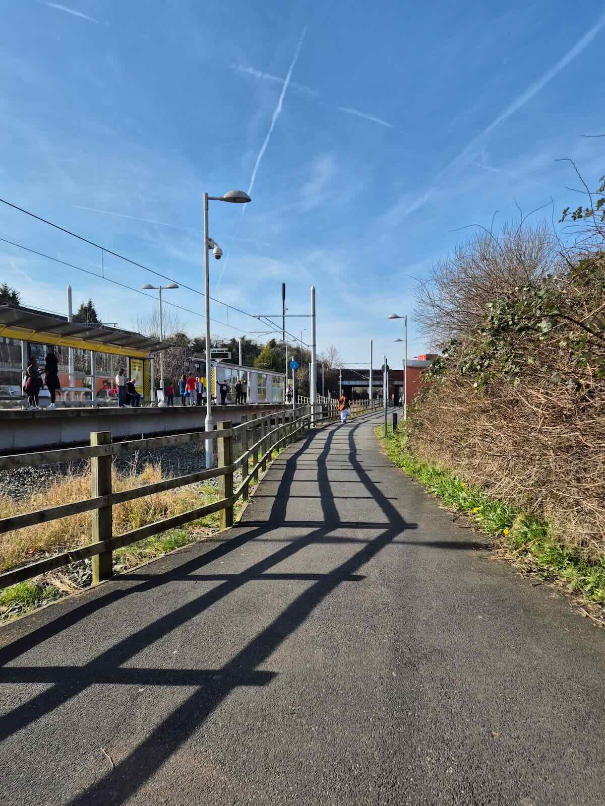
Thankfully, I soon arrive in Didsbury Village, where I continued straight onto School Lane, then turn right and left onto Olive Shapley Avenue. At this point, I’m riding parallel to the Metrolink tracks and past the tram stop.

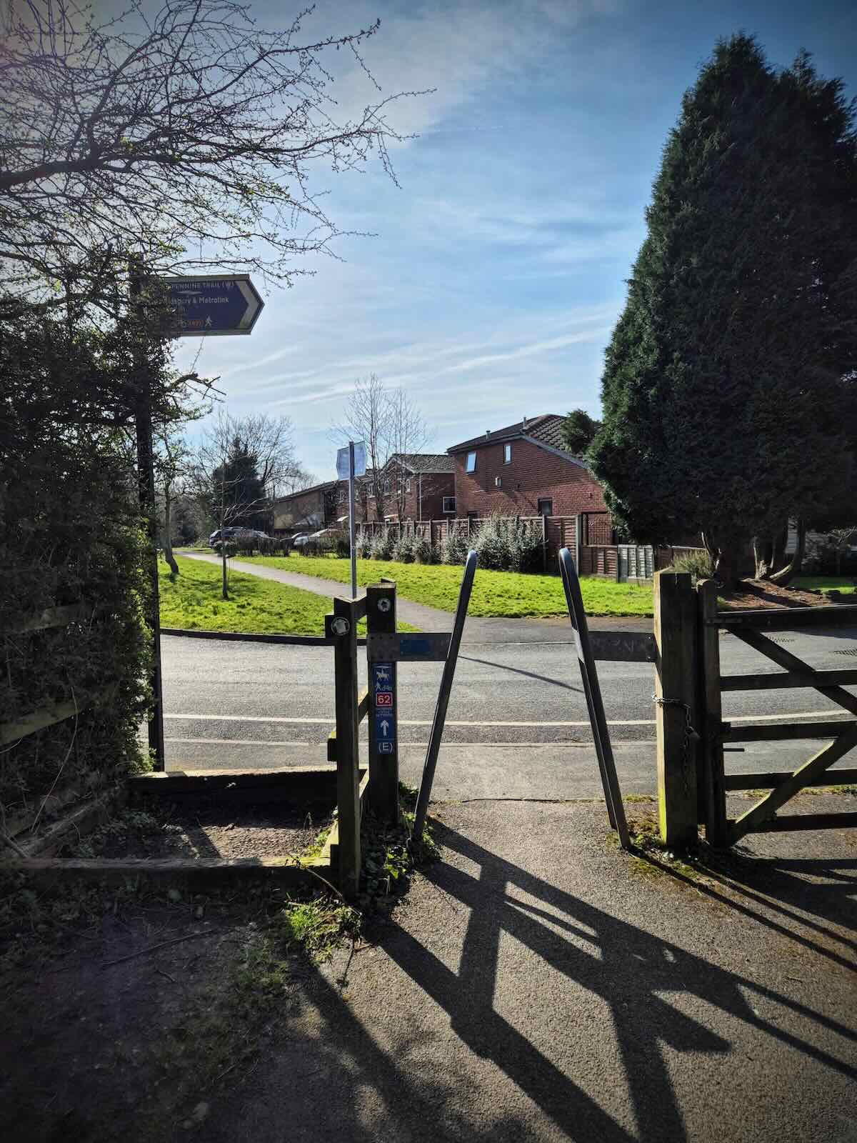
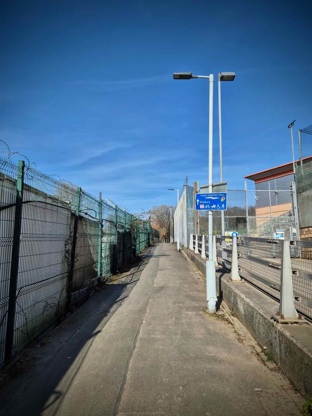
I cross the tram tracks, where there’s more chicanes, albeit with plenty more space than some of the others on the Metrolink. This took me onto the TPT again (though OS maps has this section down as the NCN 55, not 62 for some reason, as the signs say 62).

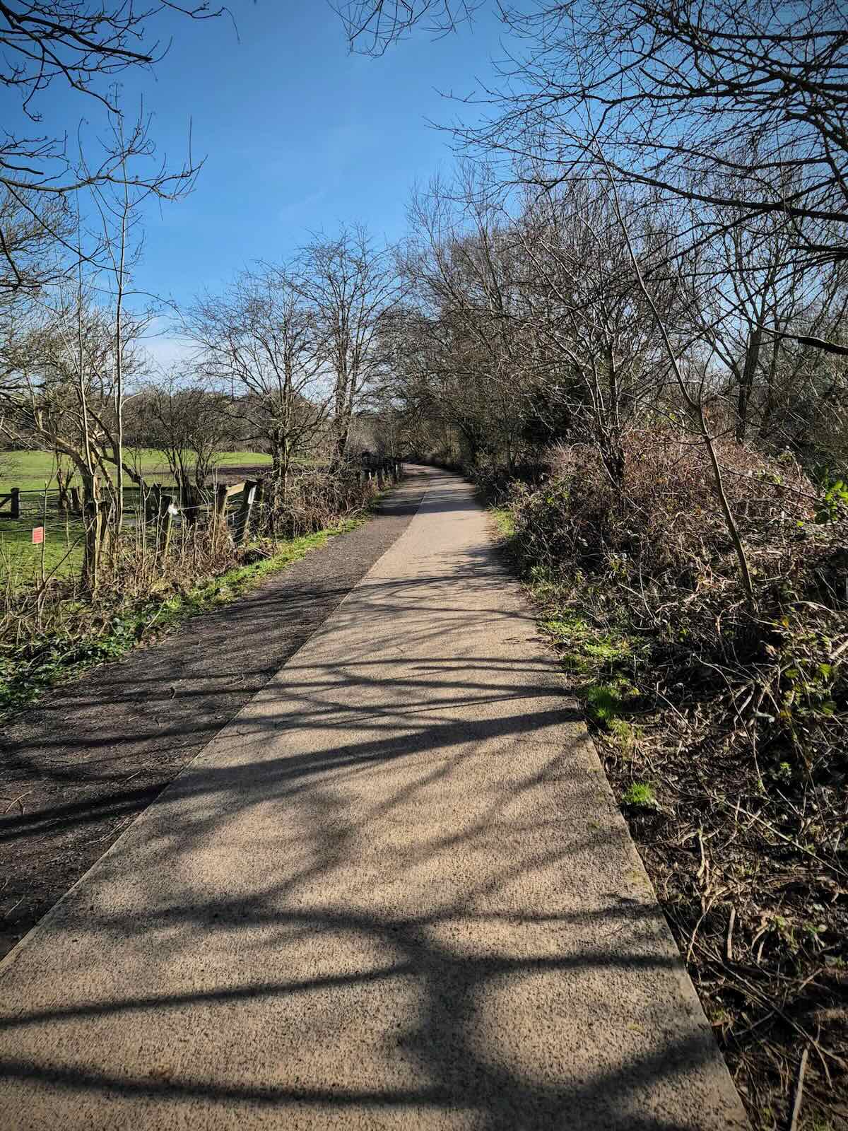
The path here was installed when the Metrolink line was added. Unfortunately, it was done on the cheap, with a poor quality loose surface, which has a tendency to collect water. It’s also quite narrow at times with vegetation encroaching.
It could have been so much better if TfGM had bothered to cater for active travel when installing the line. Unfortunately, this is something you see along the whole of the Metrolink network, including the most recent extensions. So different to what you see in The Netherlands.
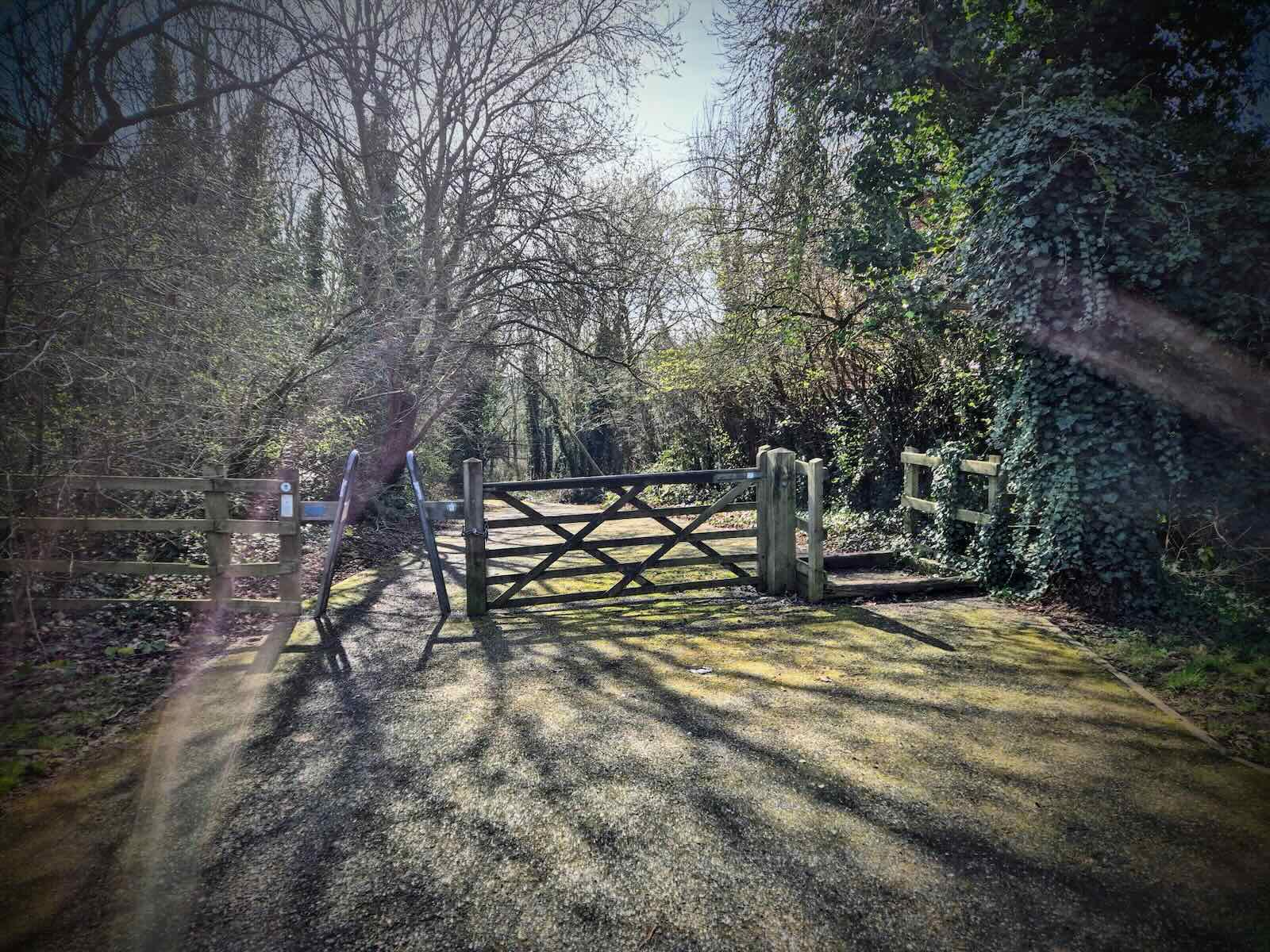
I continued along the TPT through Parrs Wood and past the East Didsbury tram stop. There’s then another fork in the path, where the TPT goes right, which I follow. At this point, the TPT goes onto the road for a small section through a housing estate, which would be fine if it wasn’t for the inaccessible A-frame barriers.
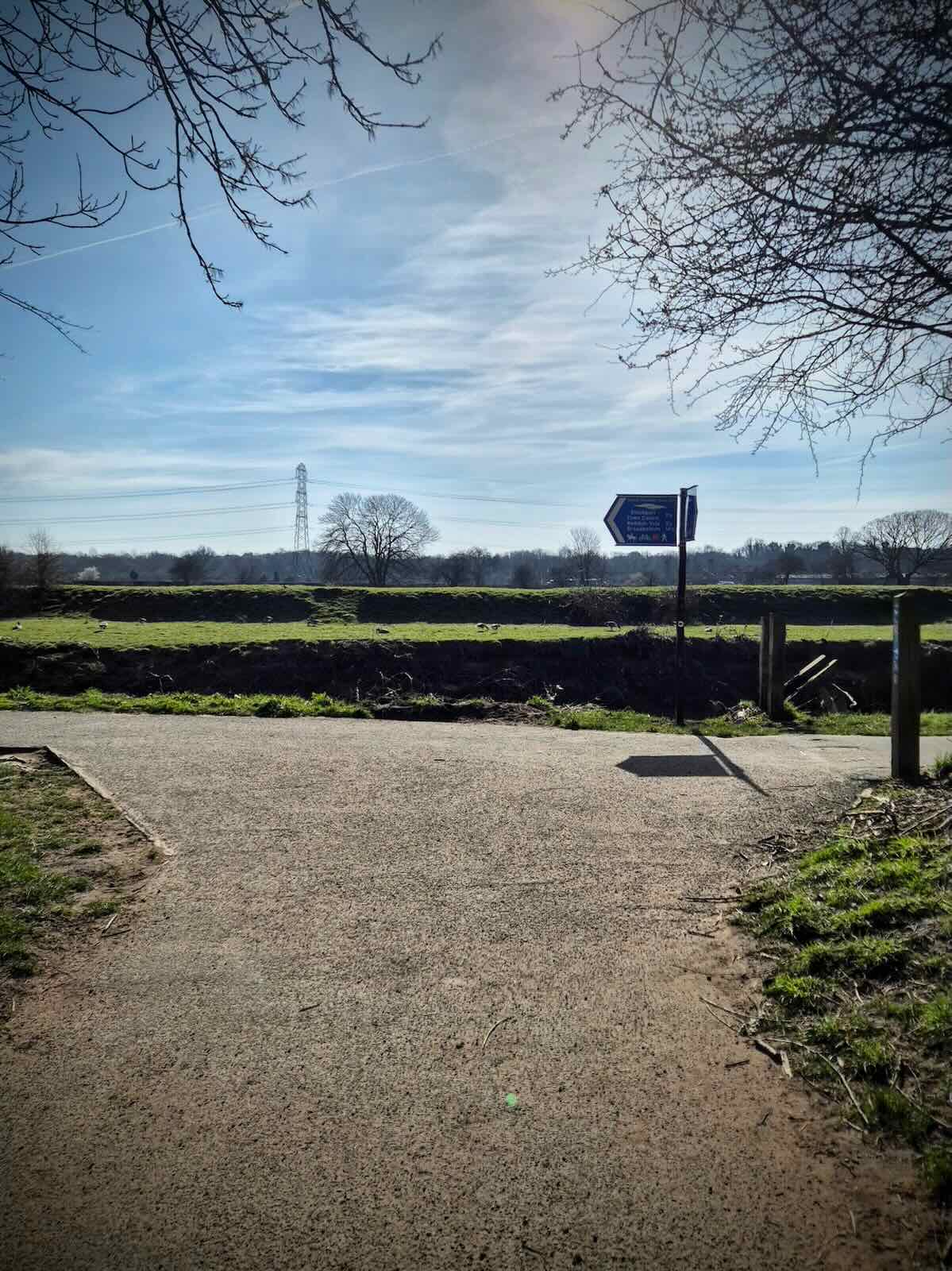
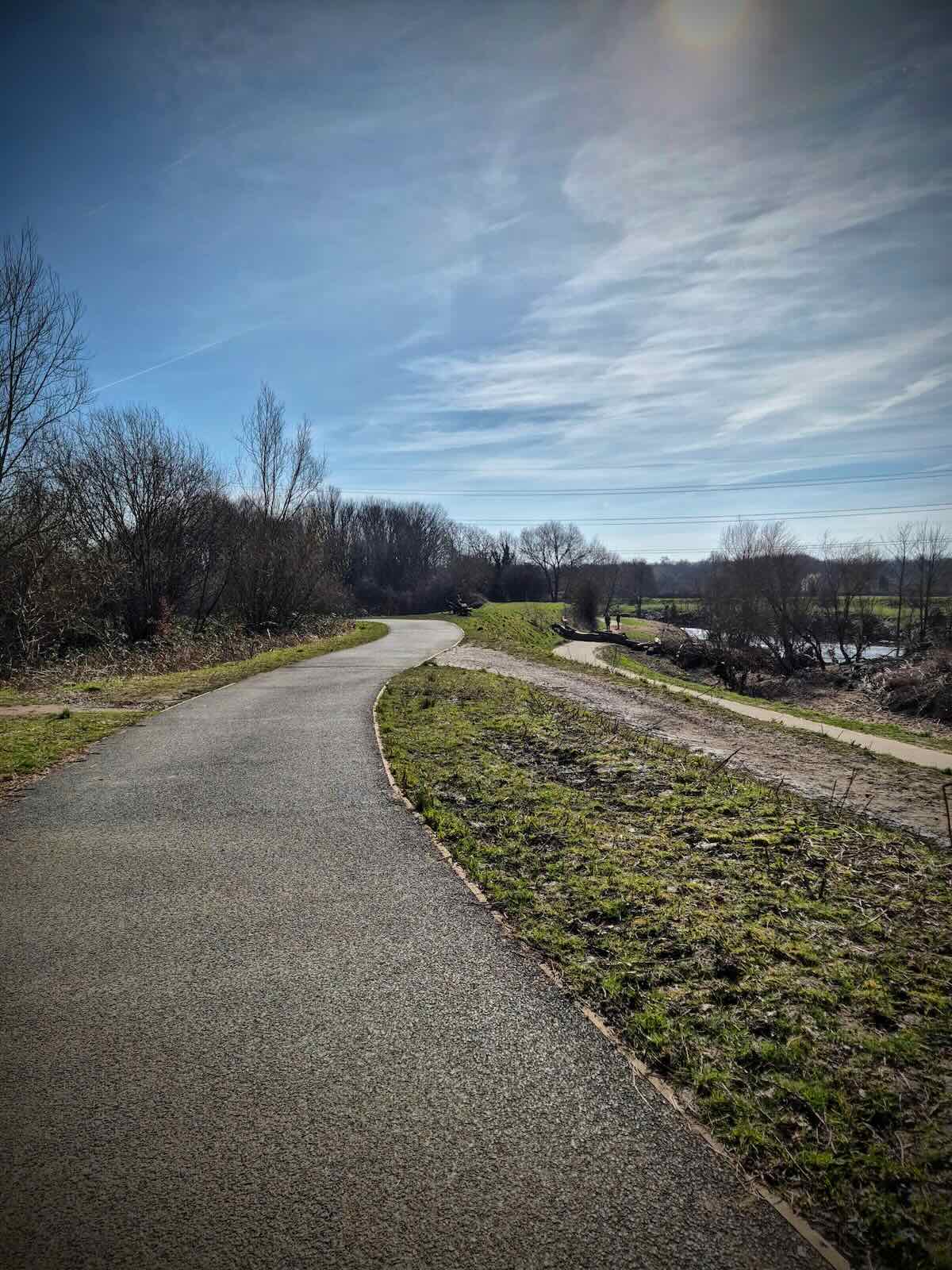
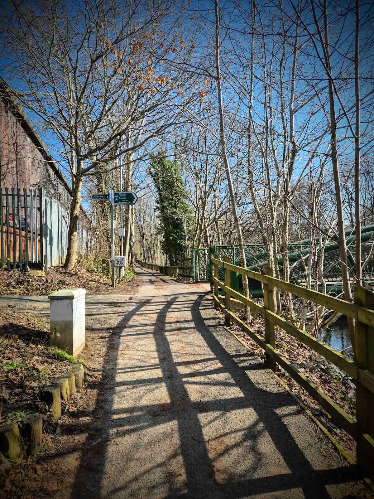
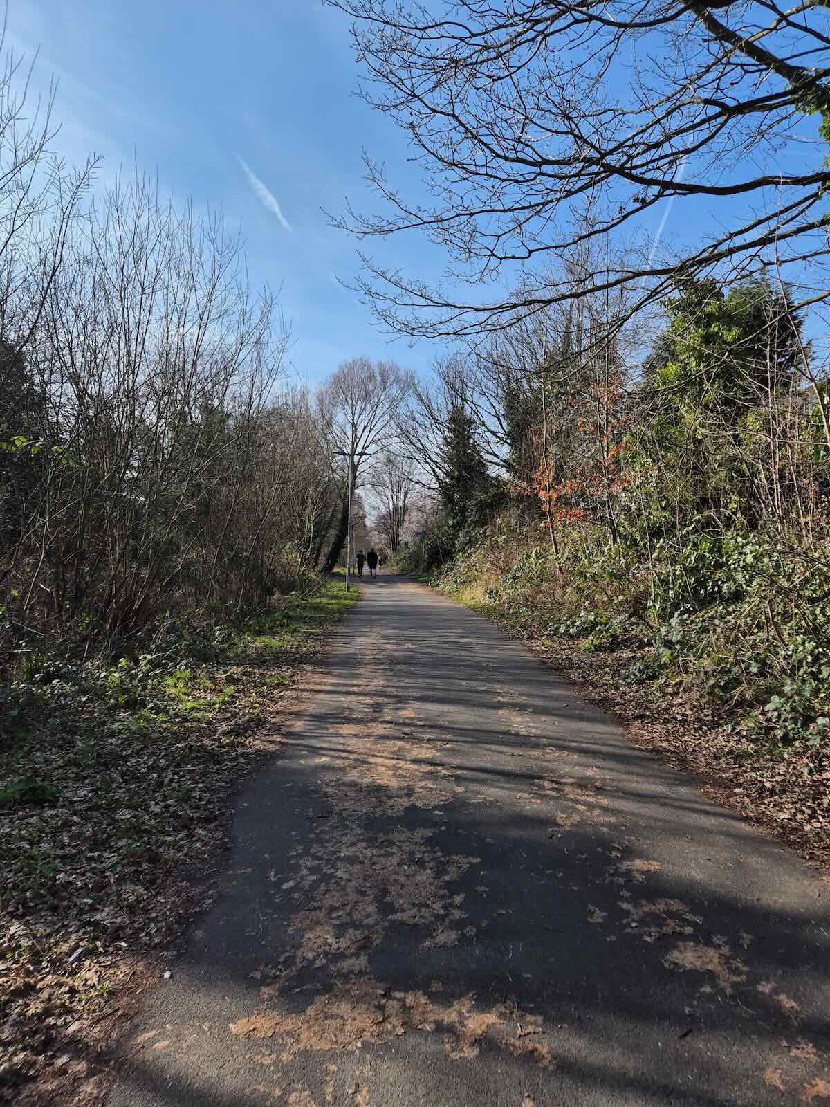
Back off the road, the TPT took me down to the Mersey, where I was able to turn left towards Stockport. The path along here is really quite good, with a relatively smooth sealed surface, though again it can get quite busy.
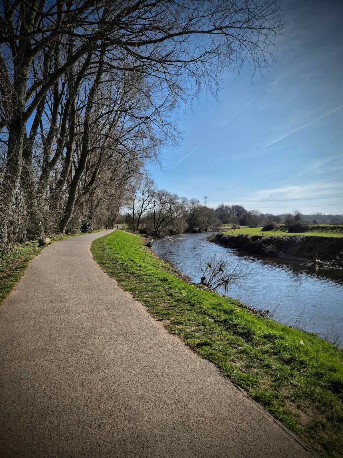
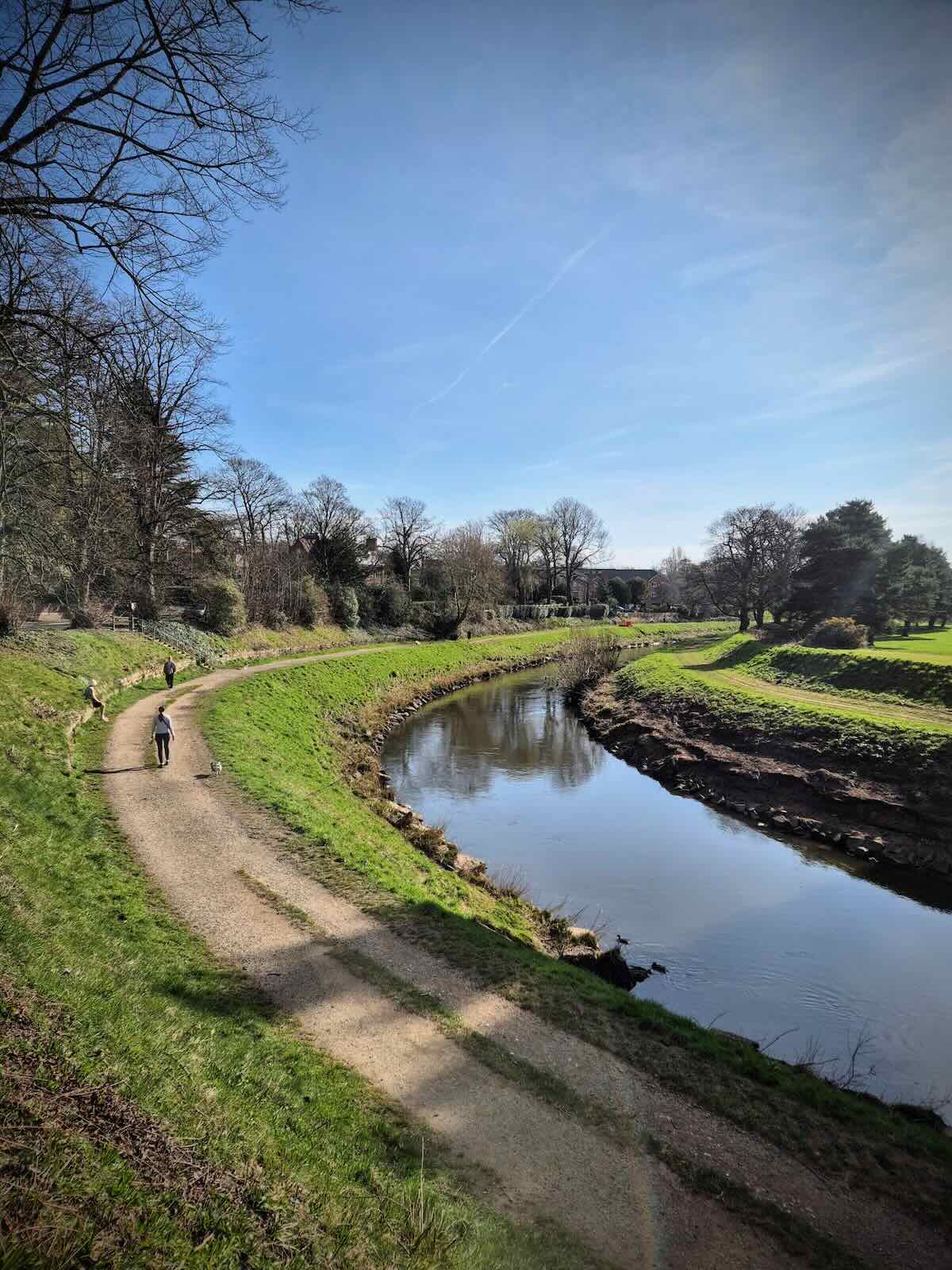
The TPT now largely follows the route of the River Mersey, except for where it cuts through Mersey Vale Nature Park. This is definitely my favourite section of the route. Not only because of the quality of the path, but because there’s lots of variation and things to see along the way. But there are more A-frame barriers that really need to be removed.

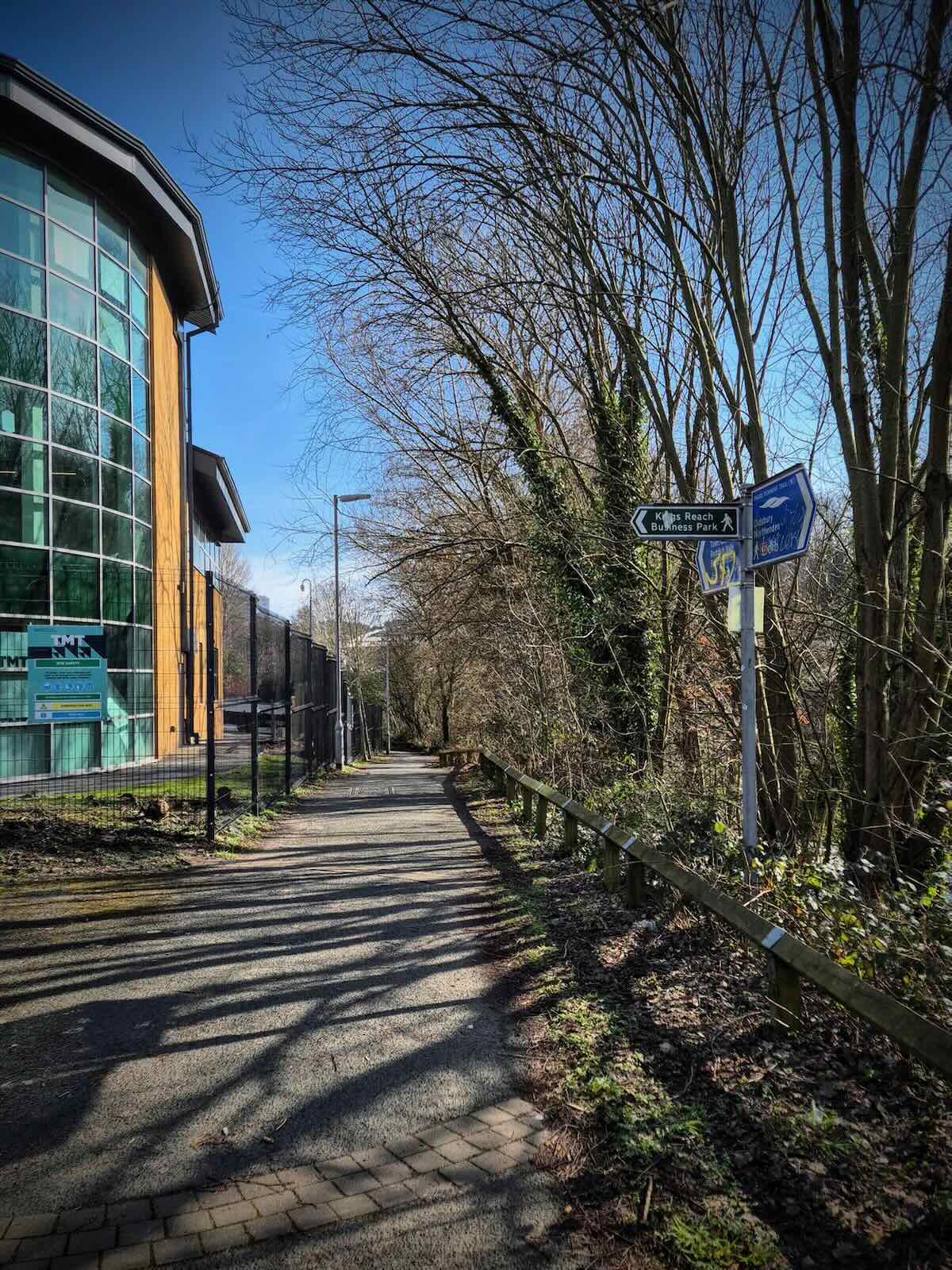
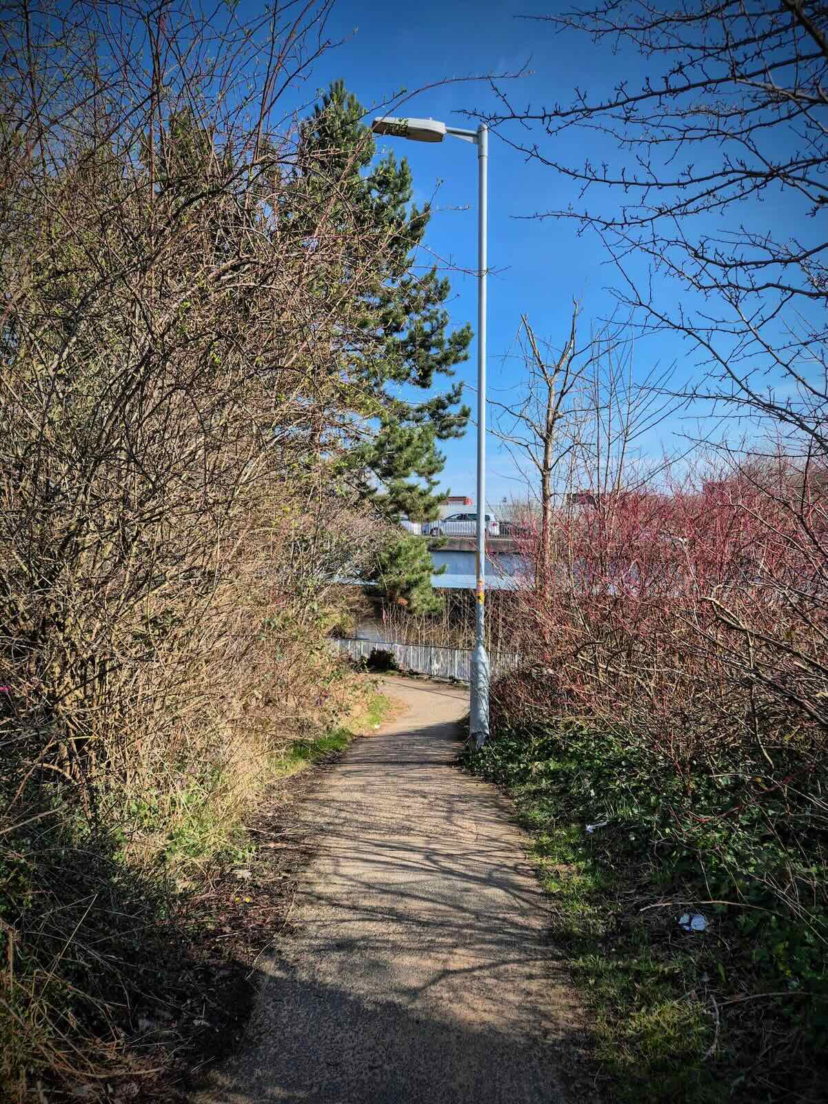
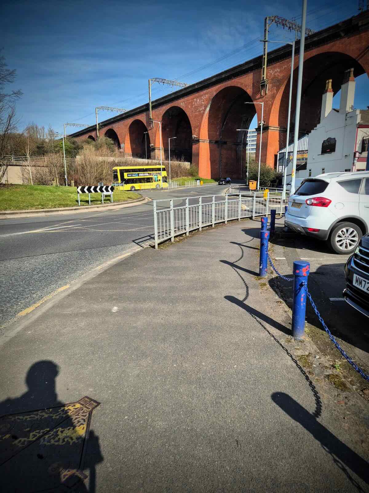
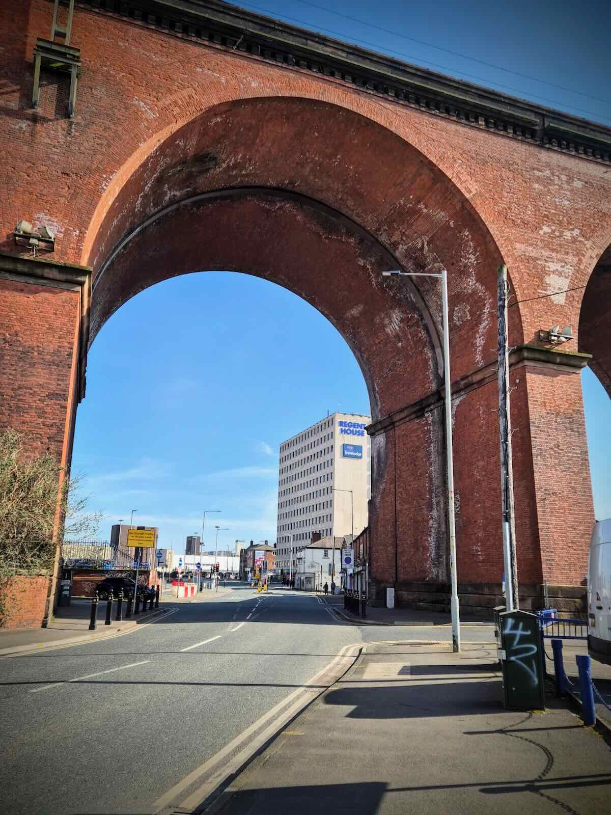
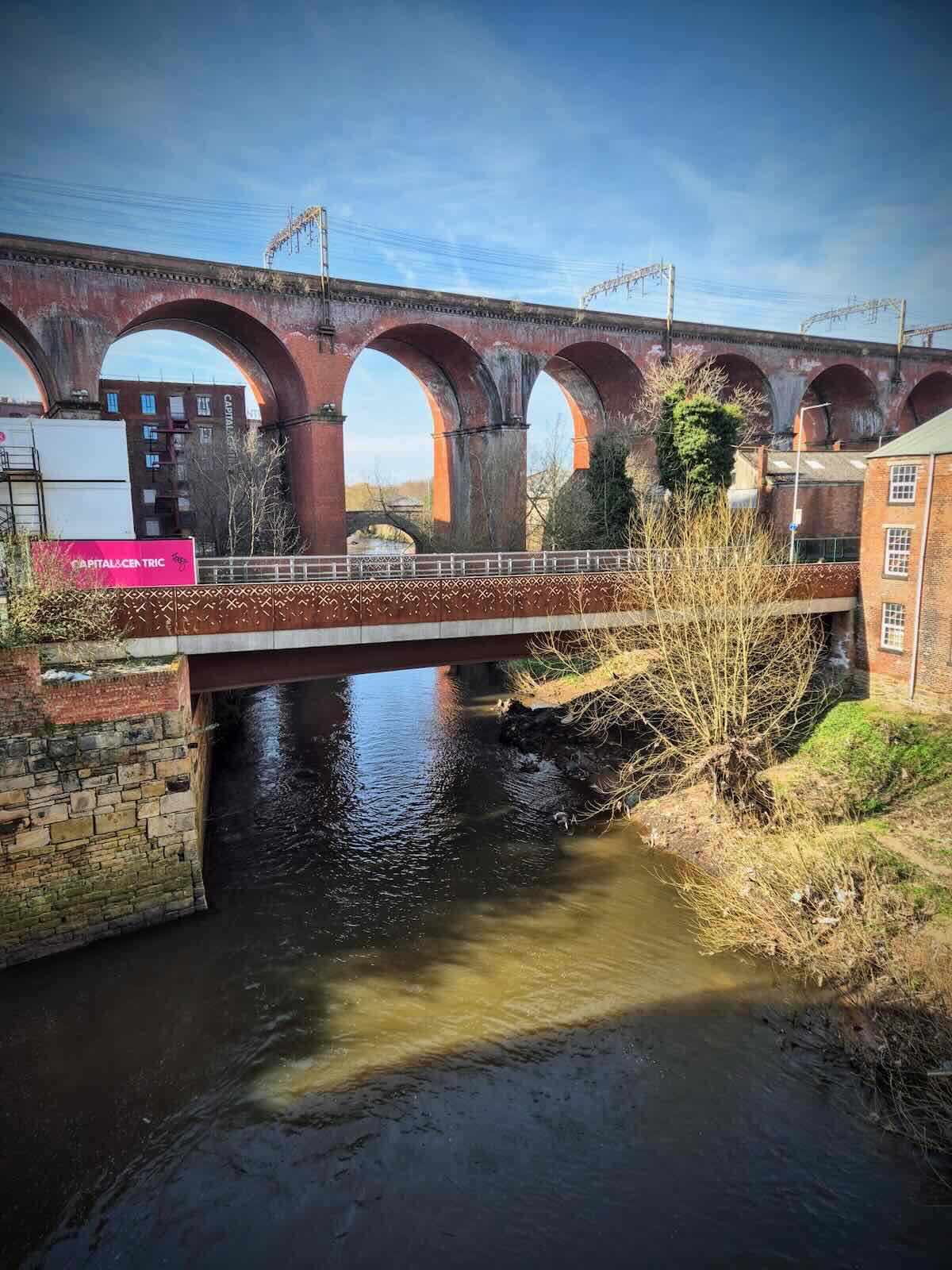
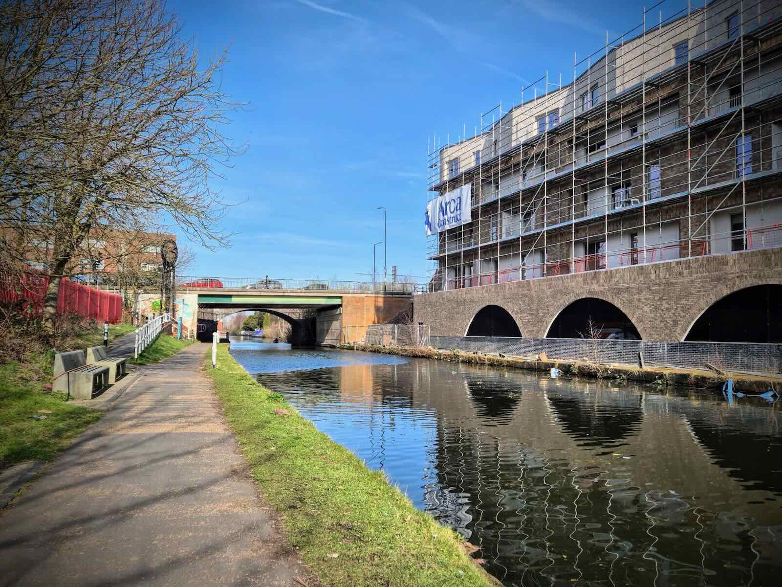
The path took me under the M60 and next to a business park, before arriving at Stockport Pyramid, which is something of an ironic landmark. The path continues a little further before ending next to the M60, approaching the Heaton Lane roundabout.

To get to the centre of Stockport from here, I had to carry on along some shared use paths, which Stockport Council seem to be very fond of, but end up being a pretty poor experience for people walking or cycling.
Given the money spent on the fancy new ramp at the new Stockport Transport Interchange, there should definitely be a better connection from the Mersey River Path, what’s there right now really isn’t very welcoming.


In Stockport
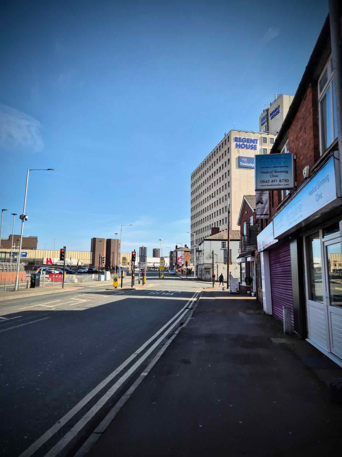
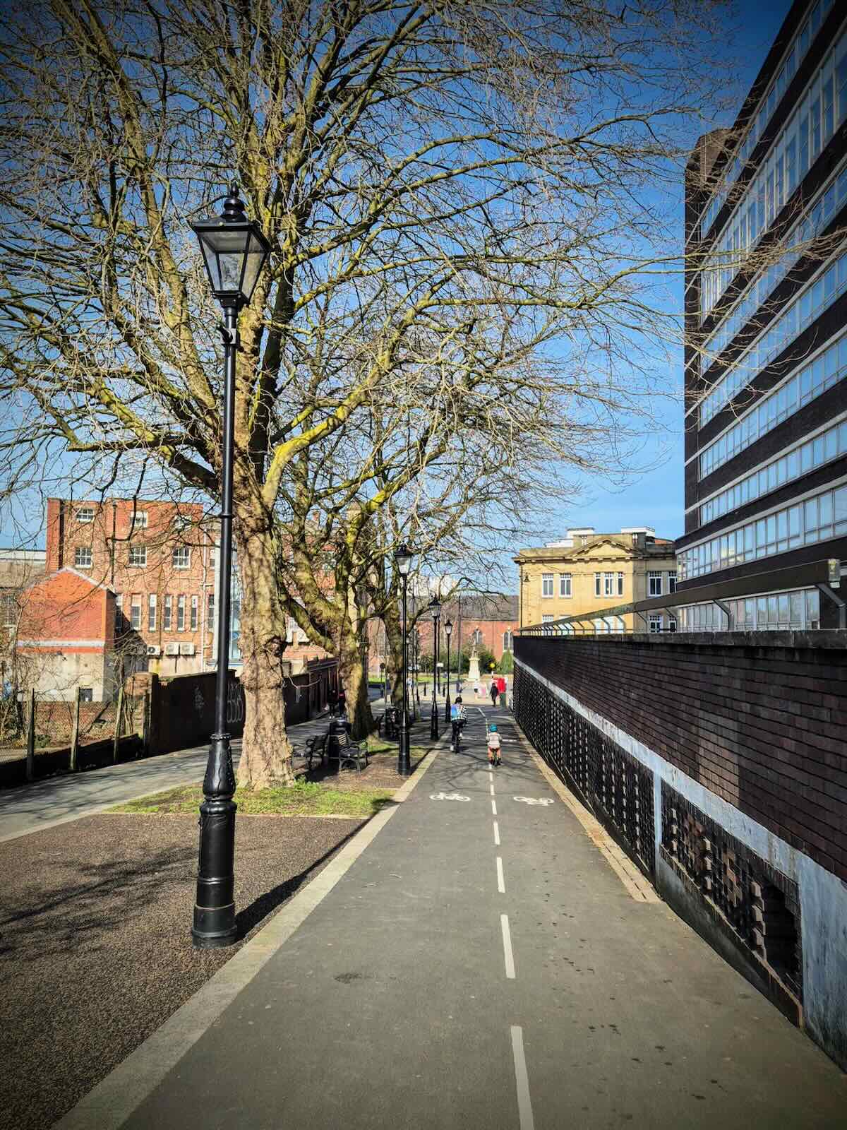
Arriving at Stockport Interchange, I made my way over to the Marketplace, where I was meeting the others. This involved a short section along the A6 Wellington Road South, which is pretty awful to ride on.
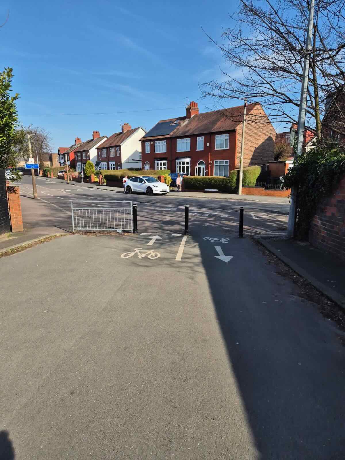
The route gave me opportunity to try out a new cycle path and parallel crossing over Wellington Street which was pretty nice. It also featured dedicated cycle lanes, rather than just shared use, which as I said, isn’t too common in Stockport.

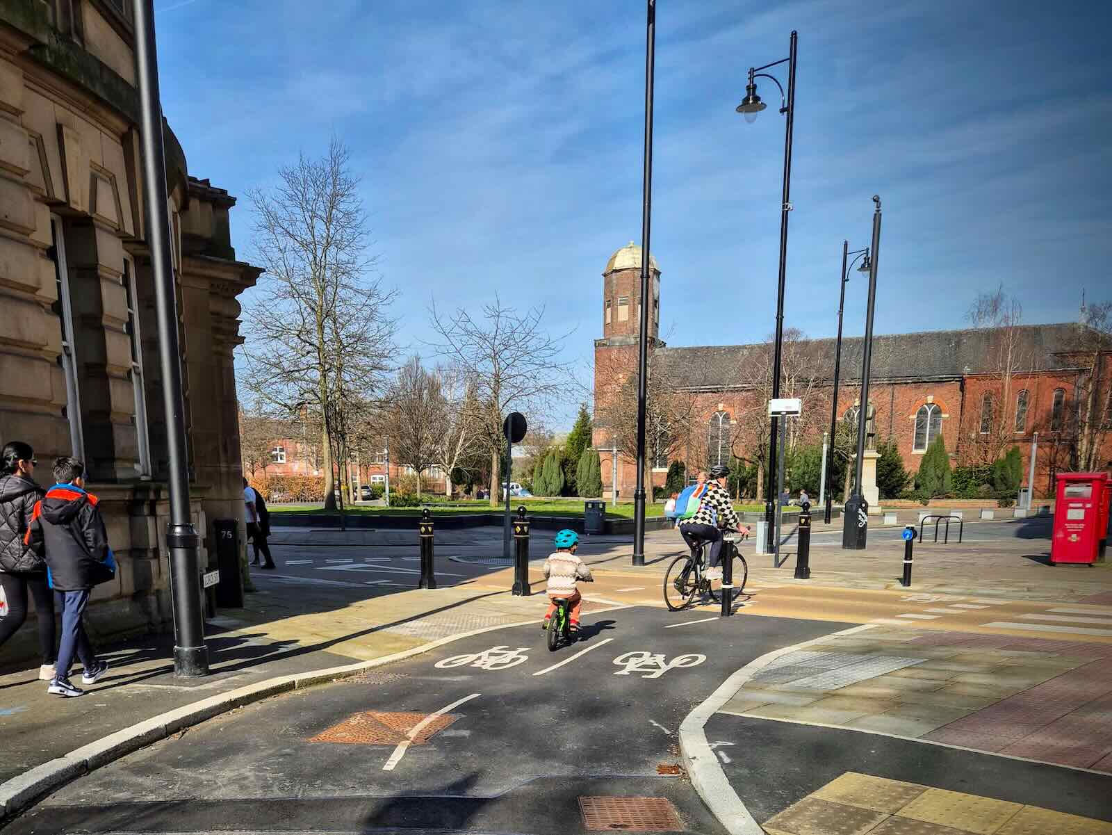
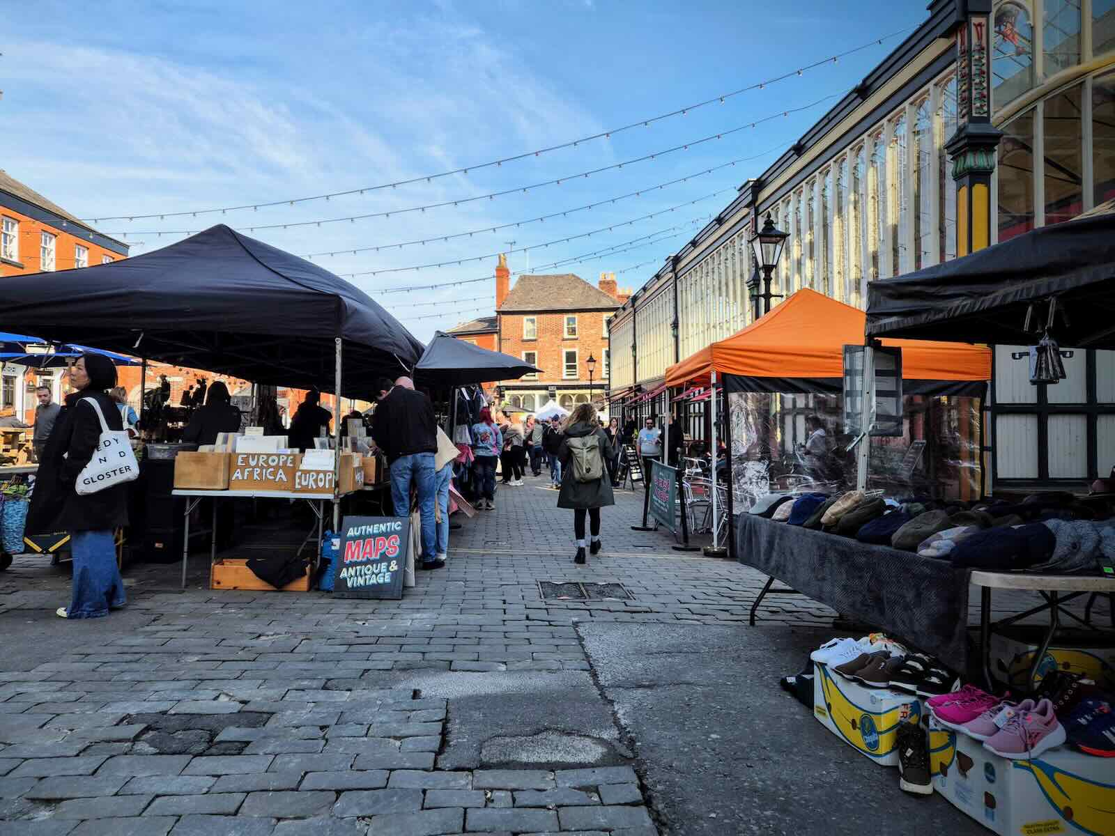
I continued along St Petersgate, which now allows contraflow cycling, something which I hadn’t seen before, so may be quite new. I then arrived at the Marketplace, which was busy with the monthly Makers Market.

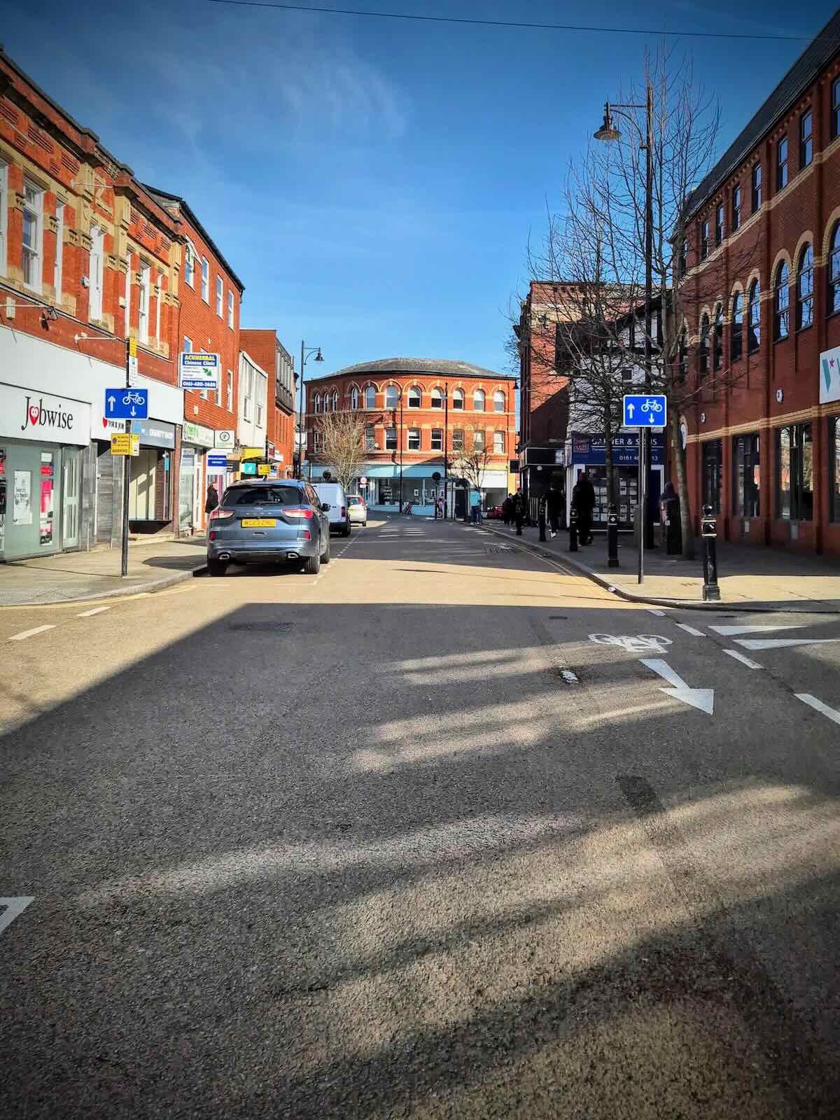
While still very much work in progress, Stockport has significantly improved in recent years. Going back a few years, the town centre was on its knees, with the chain stores deserting the town, leaving little else there.
Like Stretford, Stockport was successful in bidding for money from the Future High Streets Fund, which has proven a catalyst for further funding. At this point, it’s fair to say that Stockport’s transformation is more advanced than Stretford’s, which is still very much a building site.
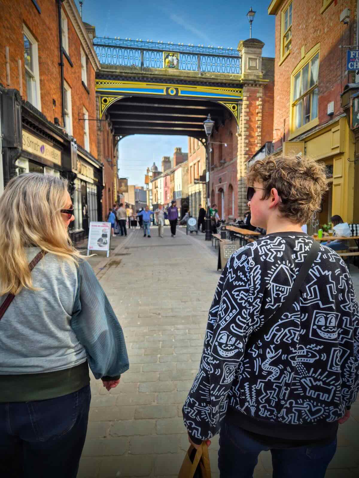
While the redevelopment of Merseyway is generally a decent improvement, it’s on the Underbanks where the really exciting stuff is happening. It’s here where you’ll find new independent shops, cafés, bars and restaurants, putting something different into the town. My regular favourites are definitely Yellowhammer Bakery and Rare Mags, which I always try to visit.


Back to Stretford on the Fallowfield Loop
As I mentioned, I usually do a different route on the way back, so there’s a bit of variation. So on this day, I decided to go along the Fallowfield Loop, this time following a route planned on Komoot.
Due to the lack of safe cycling infrastructure on the A6 Wellington Road South, something Stockport Council are still refusing to address, instead proposing a substandard, indirect route on quiet streets, there isn’t a straightforward way to get to the Fallowfield Loop.
Komoot sent me on one of those parallel routes, starting with a small section along the A6, before a meader past B&Q and along a little bit of the TPT. I then continued along Ashburn Road, then onto Heaton Road and Tatton Road South, passing through Heaton Chapel.

I then crossed over the railway, on the filtered bridge, Heatons Link. After the bridge, there’s a small section of cycle path on Buckingham Road, which leads round the corner onto Chandos Road. This provides a convenient way of continuing onto Chandos Road, without needing to mix with cars.

Before the end of Chandos Road, I turned right onto Alford Road, then left onto A6 Wellington Road North, initially in a bus lane, but then mixing with cars. Riding along the A6 is pretty awful and best avoided if you can.

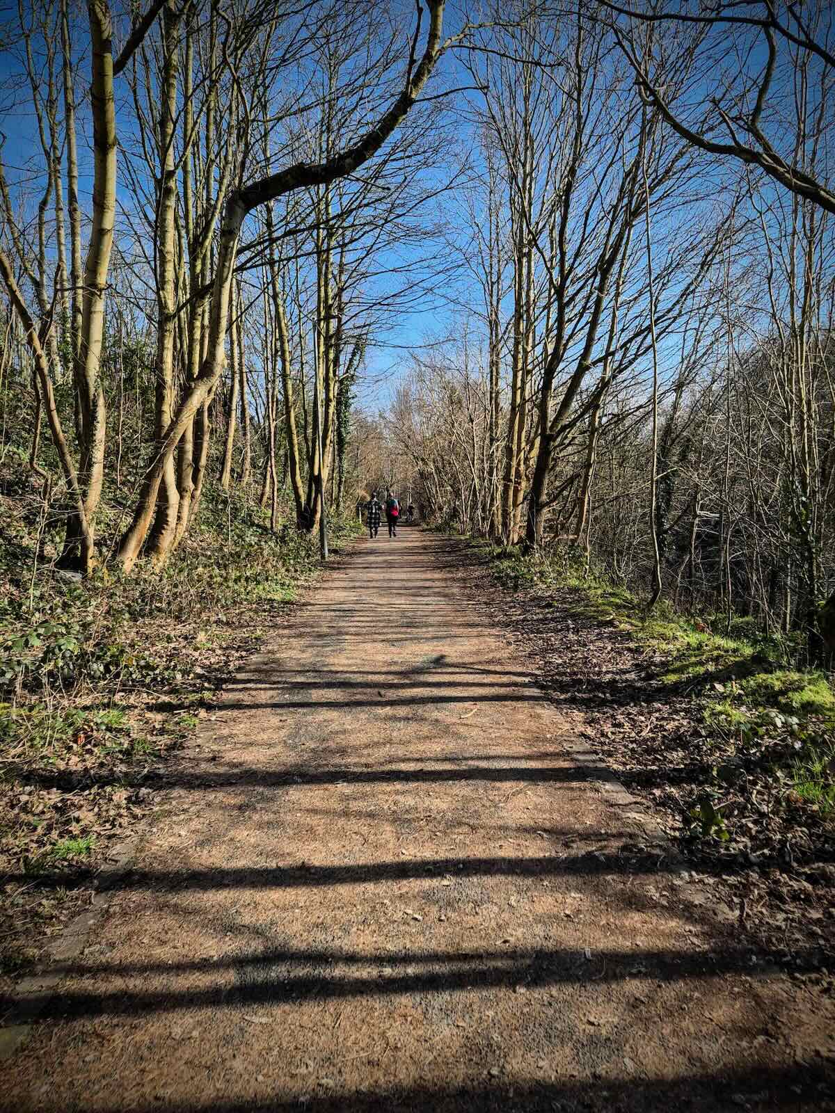
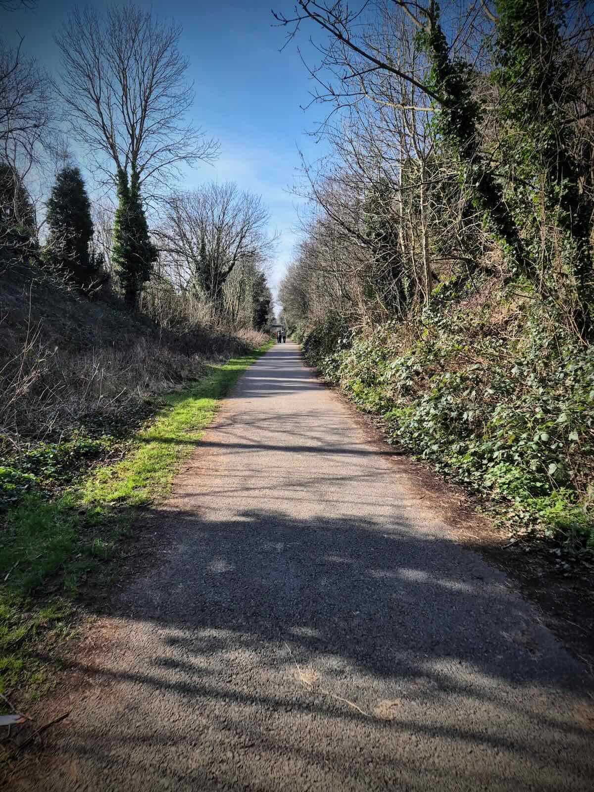
I turned off as soon as I could onto Broom Lane, then going round a further two corners, I was able to get onto the Fallowfield Loop. After the unpleasantness of the A6, it’s always refreshing to get onto the pleasantly quiet, traffic-free Fallowfield Loop.

Once onto the Fallowfield it’s largely a straight ride to Chorlton, except for the section through Fallowfield at Sainsbury’s, where the supermarket has been built on the old railway line. At this point, it’s necessary to join the road to cross Wilmslow Road and carry on along Sherwood Street.

Once back on the Fallowfield Loop, I continued onto the newer section, as I approached St Werburgh’s Road tram stop. This section has been recently improved with a wide newly laid path, street lighting and better entrances. This is part of a scheme which is seeing improvements at the other end of the fallowfield Loop, on the Yellow Brick Road path.
It’s easy to forget what the Fallowfield Loop used to be like, before some of the recent improvements. In particular, the barriers that used to be littered along the route, causing accessibility issues, limiting access. Thankfully, after a campaign by the Friends of the Fallowfield Loop, these have nearly all been removed.
Once at the end of the Fallowfield Loop, I crossed the tram tracks, negotiating the annoyingly narrow chicanes either side, then carried on along the path that runs parallel to the tracks. From there, I made my way to Barlow Moor Road, on some of the quieter roads.
I joined Barlow Moor Road opposite the bus station, then turned right onto Beech Road. While Beech Road is praised for its selection of independent shops, bars and restaurants, it’s also a real traffic sewer and rat run, carrying far more traffic than it should. This makes it pretty inconvenient and unpleasant for cycling.
At the end of Beech Road, I made my way towards Ivy Green, so I could return to Stretford along Hawthorn Road, through Turn Moss and onto the Bridgewater Canal path.
Alternative routes
As I mentioned, there isn’t an ideal route to the Fallowfield Loop from Stockport, but there are others that I sometimes do, mostly avoiding the A6 that may be worth trying. I’ve added these to Komoot as well, at the following links:
- Stockport to Stretford via Reddish Vale Country Park and the Fallowfield Loop
- Stockport to Stretford via Nelstrop Road North and the Fallowfield Loop


That’s it for this route. Though hopefully this will be the first of many local routes I’ll do, which may be useful to others looking for pleasant quiet or traffic-free places to cycle in and around Manchester. Any feedback is welcome or if there’s any specific routes you’d like to see.
