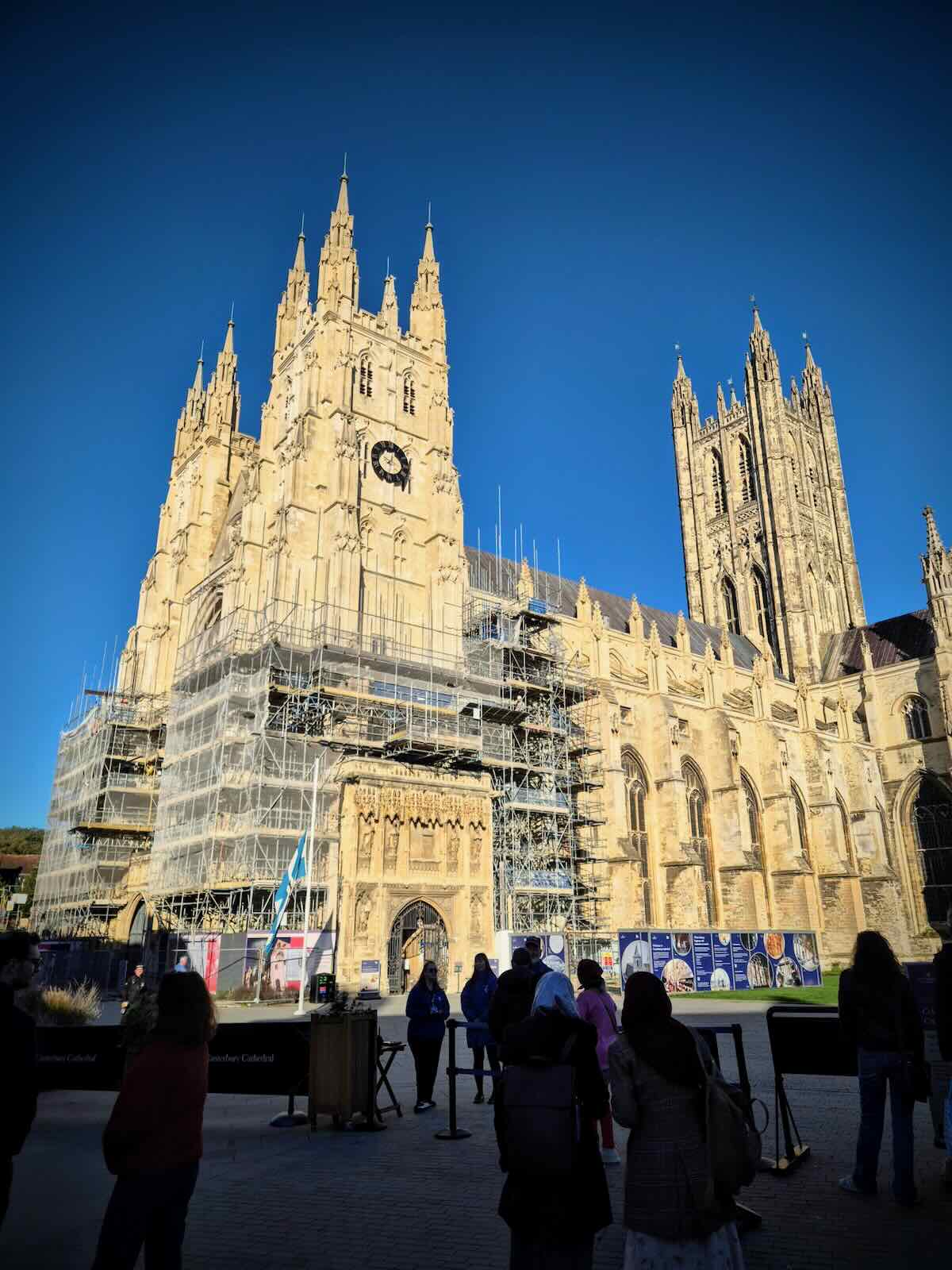
As I’ve mentioned in previous Kent posts, whenever we’re down in the county visiting family, I usually try to fit in some rides. That was the case for the October 2024 half term, where in addition to the usual rides around Maidstone, I was able to do a ride along the Crab and Winkle Way, starting in Canterbury.
The Crab and Winkle Way is a largely traffic-free walking and cycling route between Canterbury and Whitstable, taking its name from the old railway line that used to run between the two places and now forms part of the route. The railway line itself had a chequered history and was never a success, closing in 1952. After sitting derelict for many years, it reopened as a walking and cycling route in 1999.
This wasn’t the first time I’ve ridden the Crab and Winkle Way, as we went along here back in May 2011, when it was definitely looking a bit warmer and greener, and I was looking a bit younger!

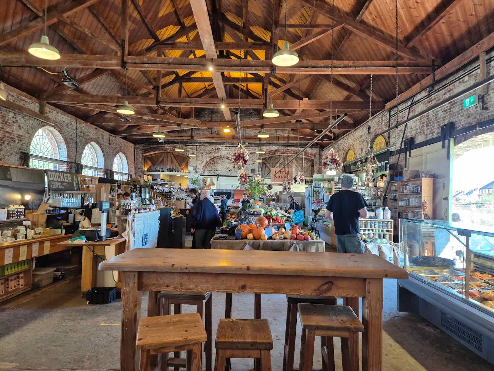
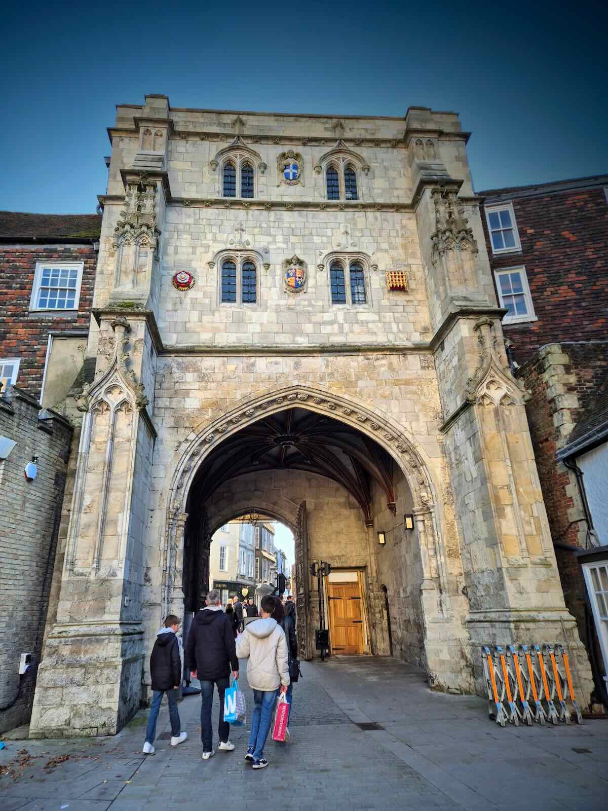
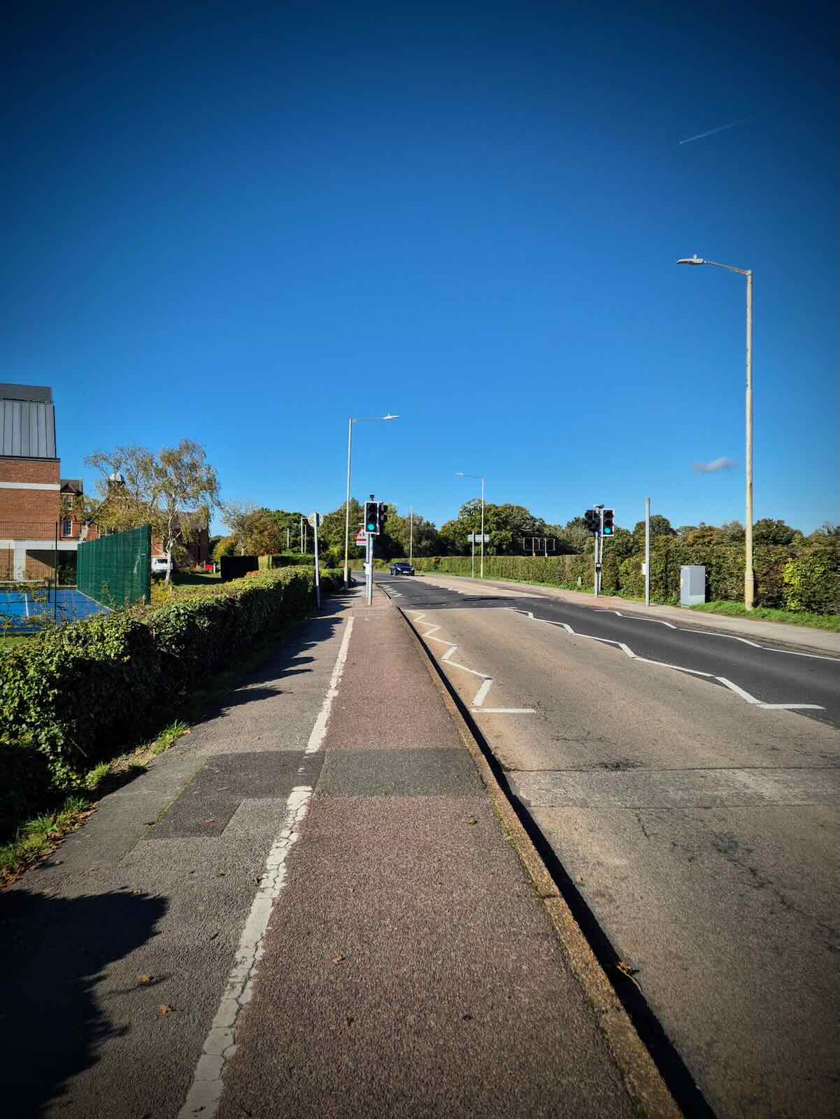
After grabbing an early lunch at The Goods Shed, I made my way to Westgate to start the route to Whitstable. While the roads around Westgate are quite busy, once you get onto the quieter roads that form part of the NCN 1, it gets a bit more pleasant.

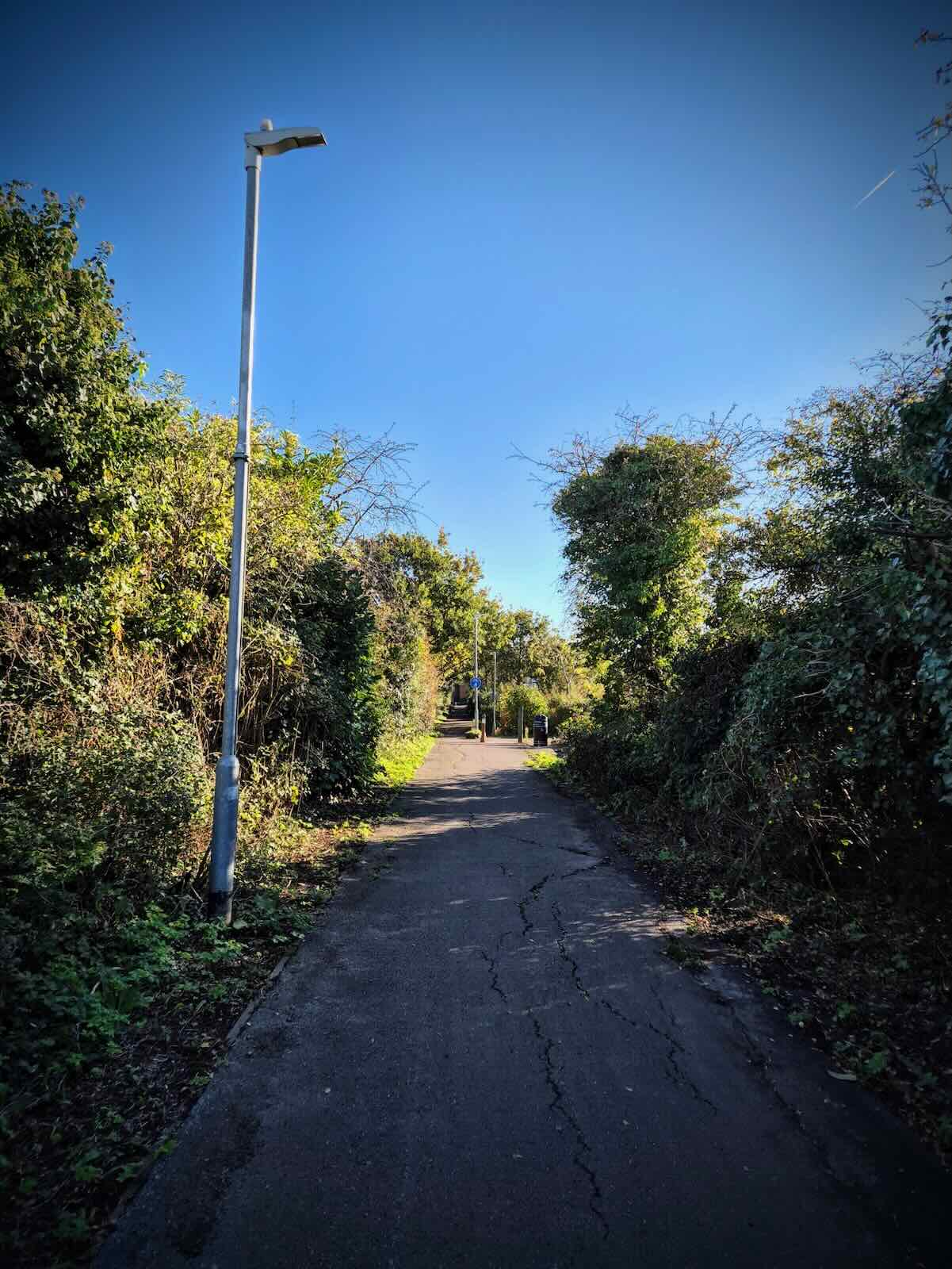
Once off the quiet streets, you emerge on Queens Avenue, which runs parallel to the A2050 Rheims Way. Towards the end of Queens Avenue, there’s a modal filter, where it’s possible to carry on if you’re walking or cycling. From there, you cross London Road at a toucan crossing, before starting on the traffic-free route.

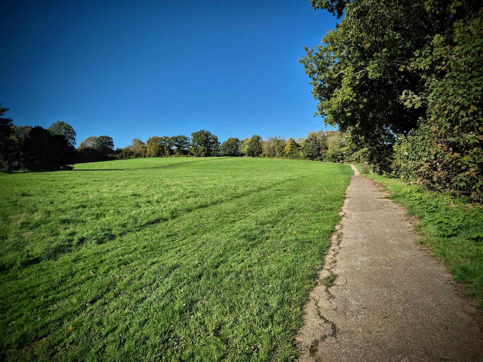
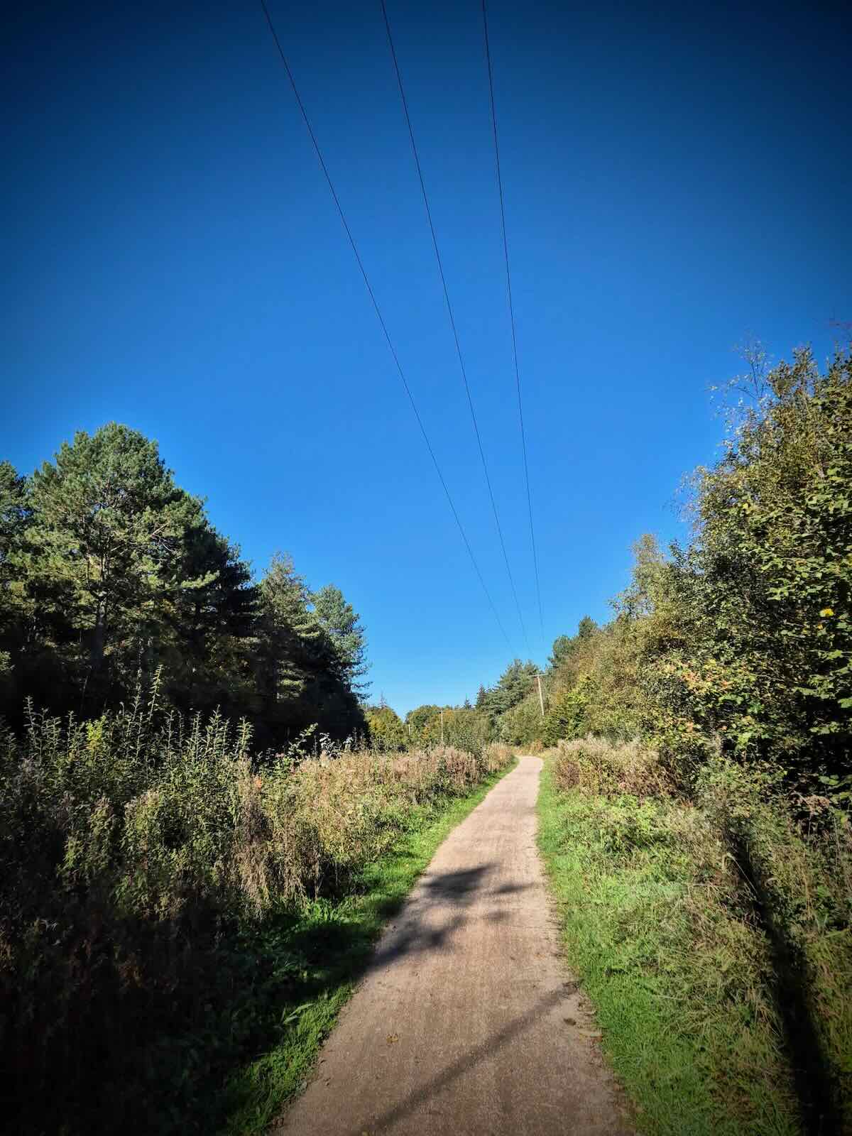
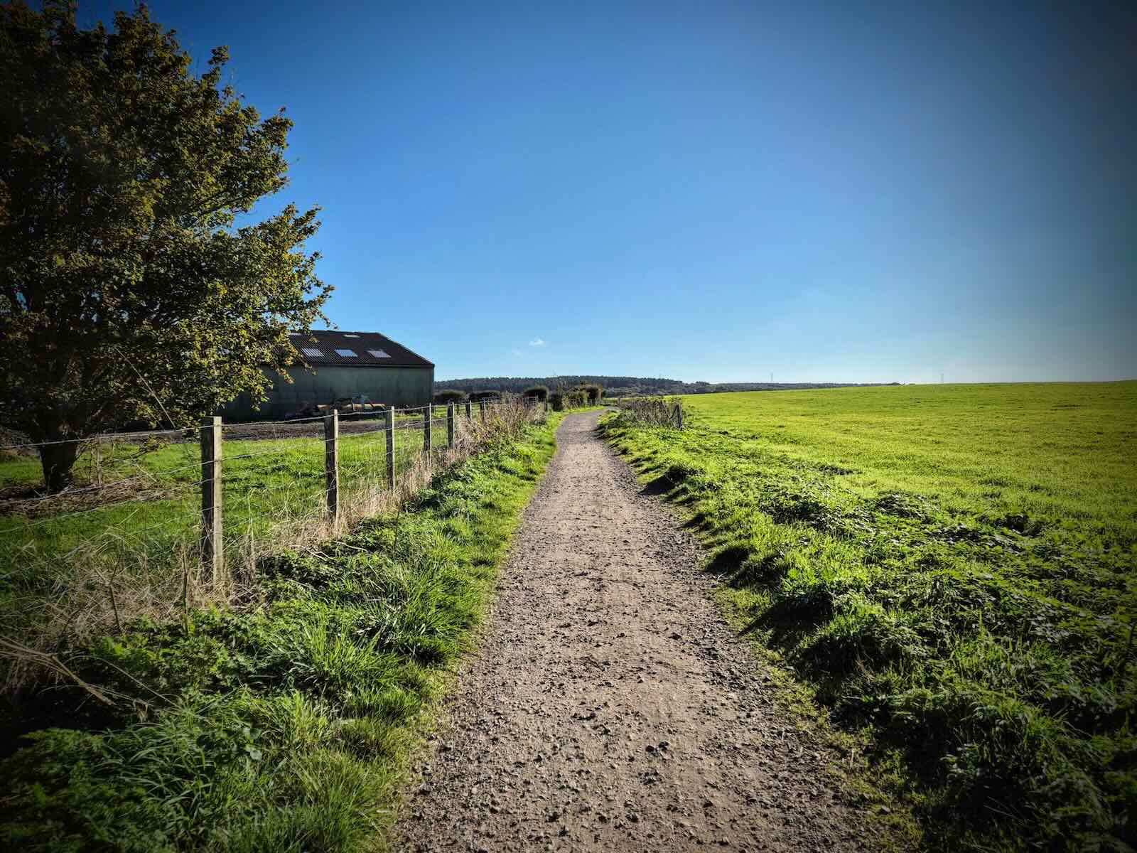
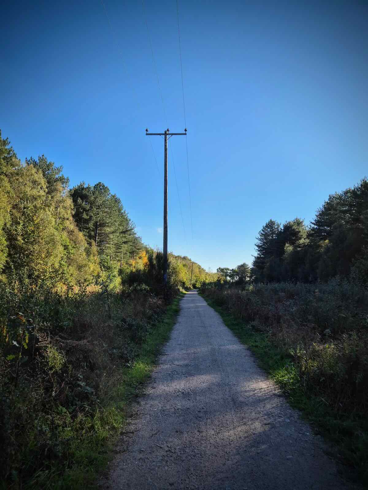
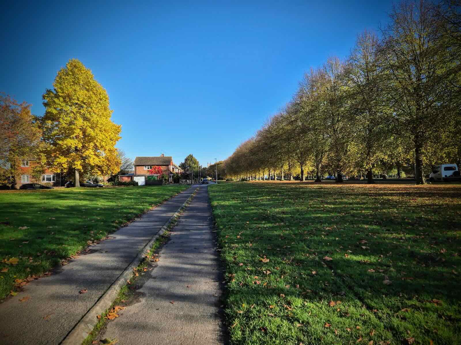
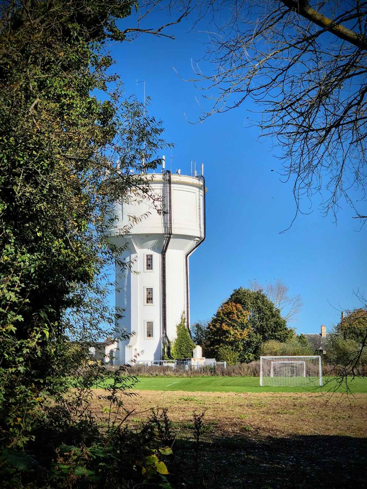
Initially, the traffic-free path runs alongside Dukes Meadow and then continues past The Barn Farm, where it’s surrounded by trees. The end of the path comes out on Neal’s Place Road, where it rises towards St Thomas’s Water Tower.
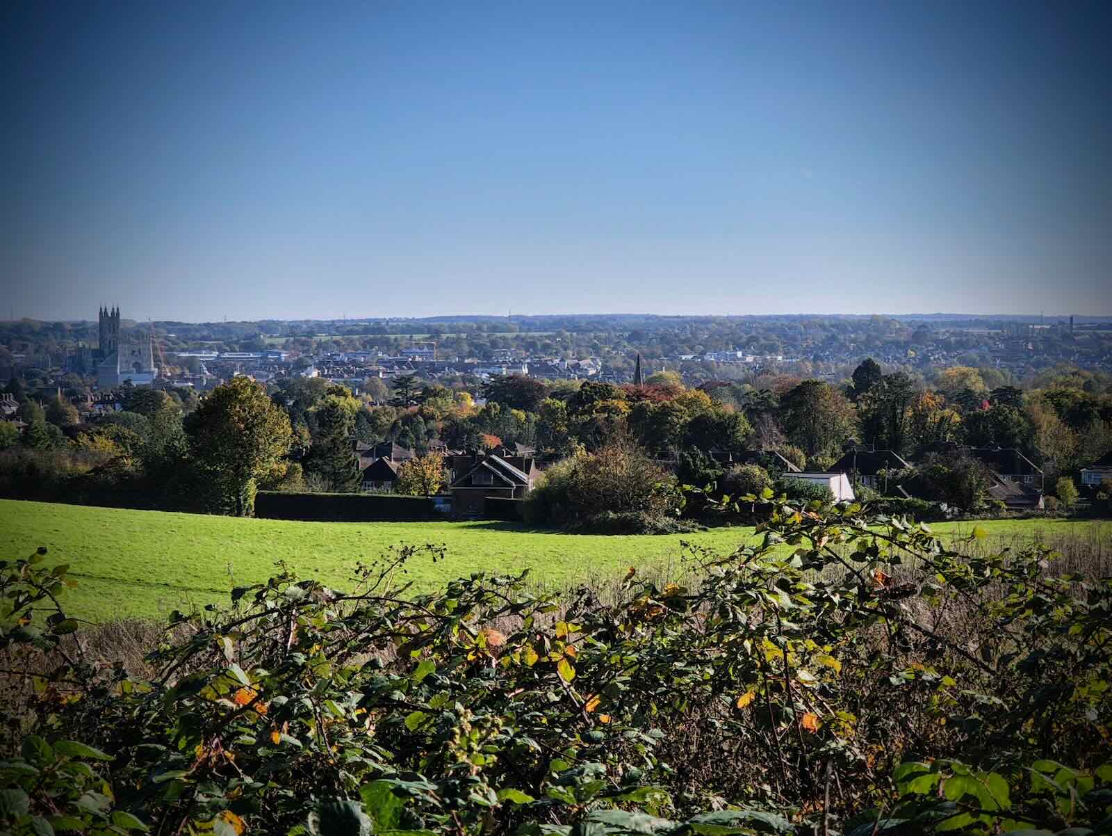
After passing the water tower, I turned left onto the A290 Whitstable Road and continued along there. There’s been a rudimentary attempt to add a cycleway to the footpath along here, which is narrow and not particularly great.
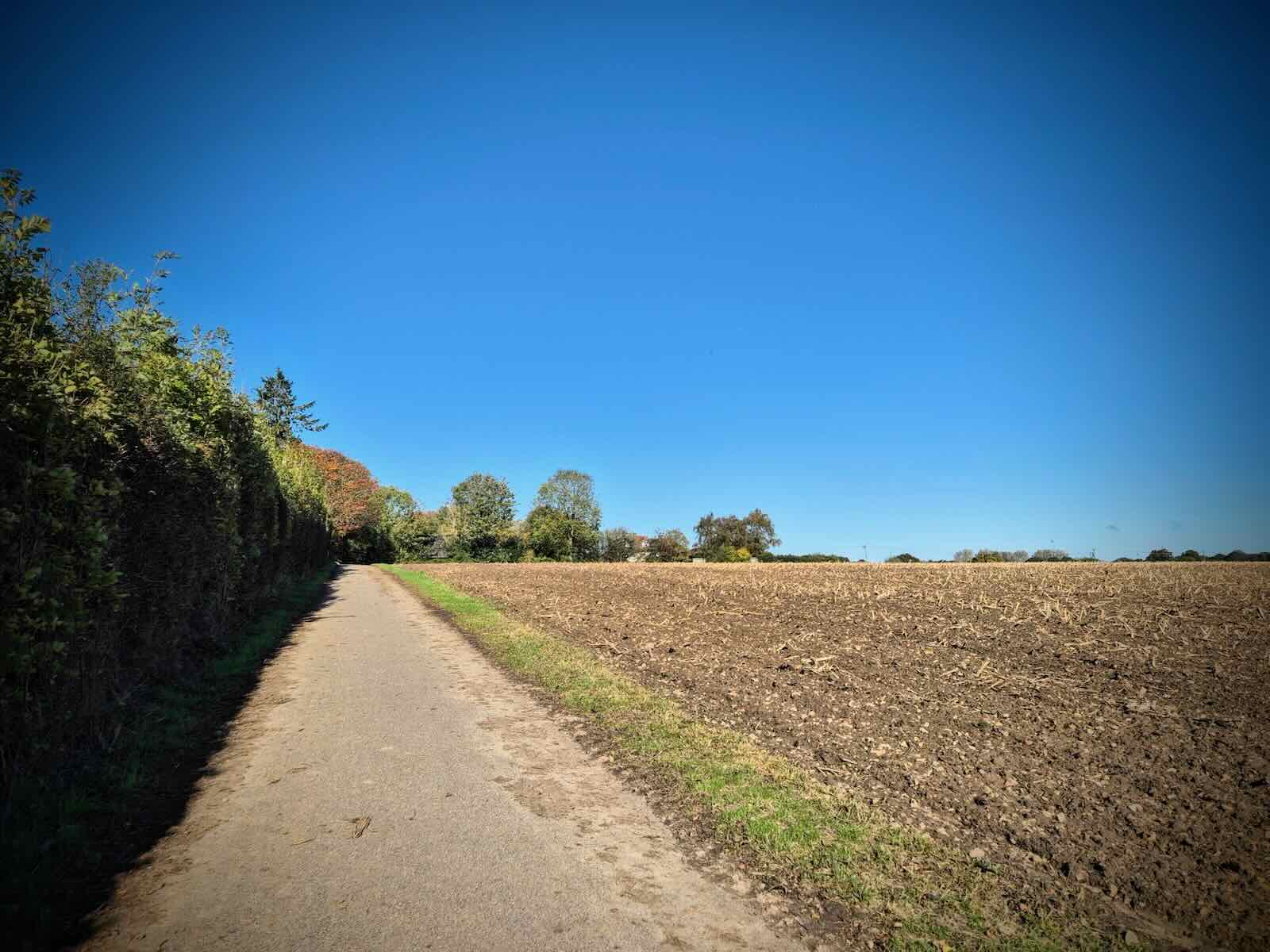
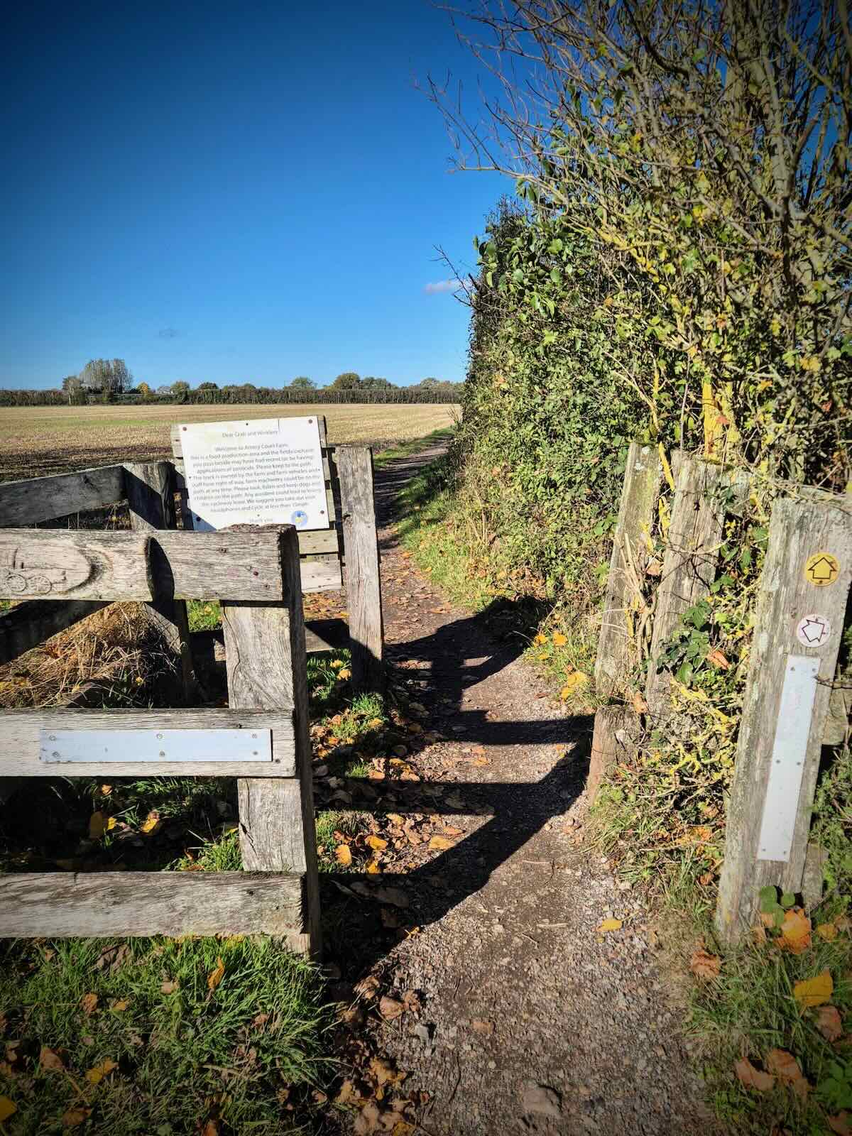
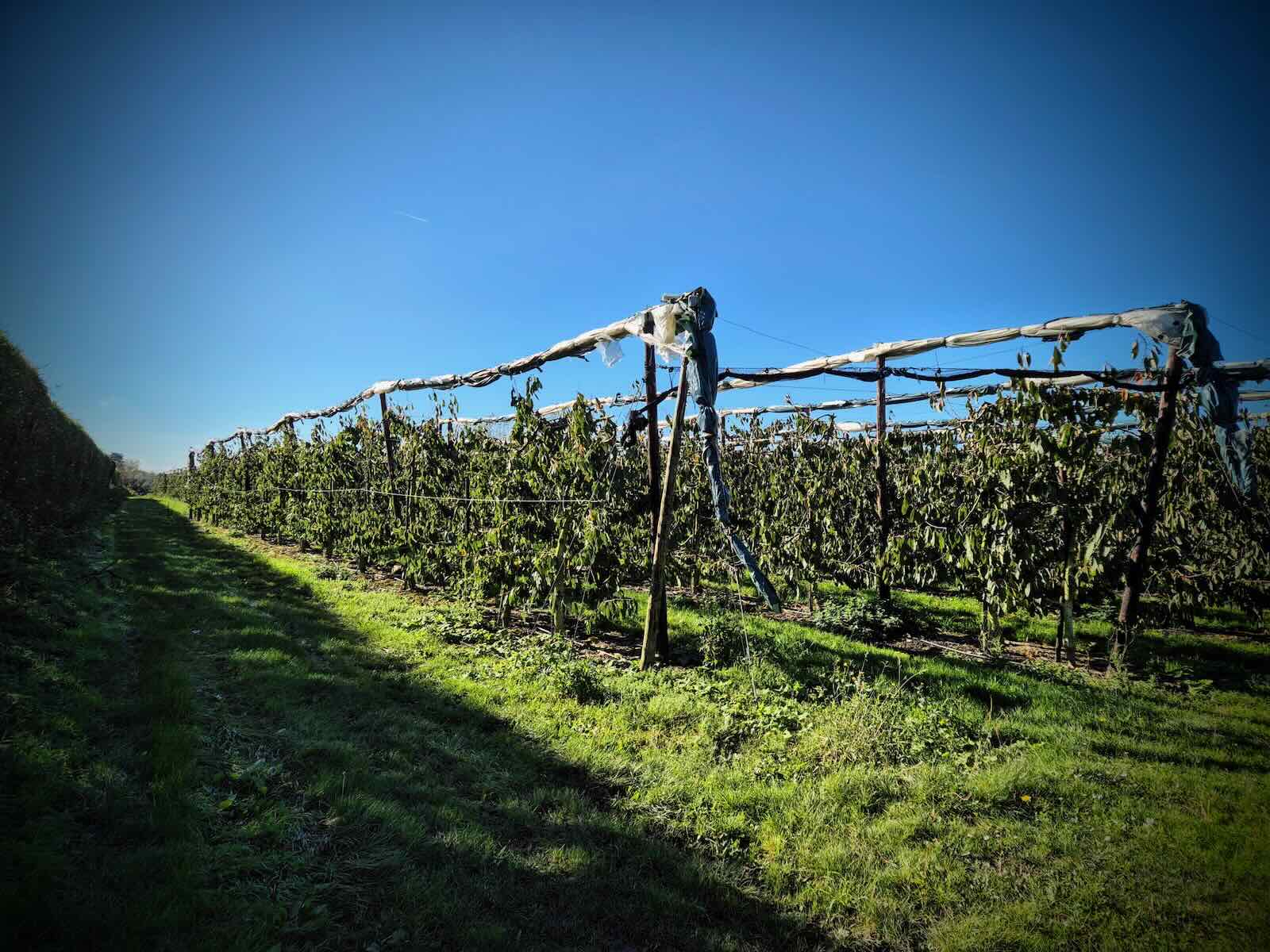
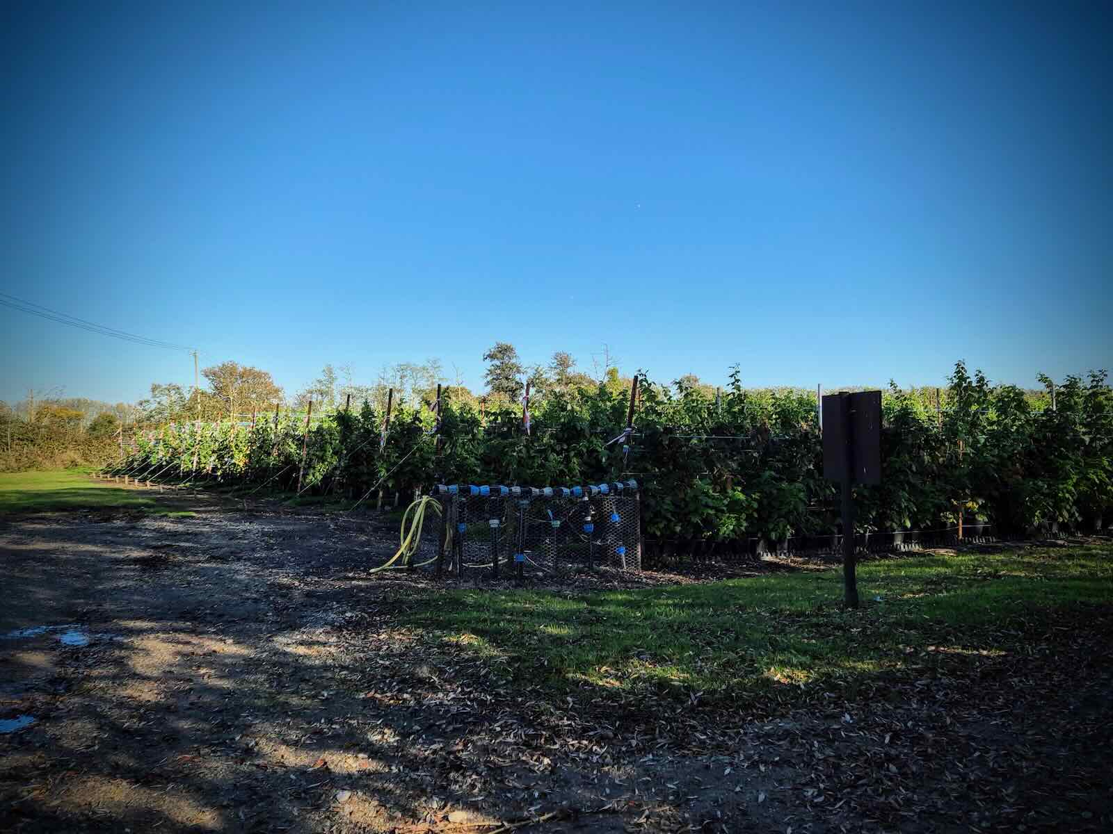
Thankfully, I wasn’t on the A290 for long before turning off onto more of the traffic-free route, this time passing the University of Kent Canterbury Campus. This then continued onto a gravel path running through the middle of Amery Court Farm.

I knew I was at Amery Court Farm, due to the not overly friendly sign, asking people cycling through to remove their headphones and ride at less than 15mph. Enough of that. Passing through the working farm was quite pleasant though, and not too hazardous!

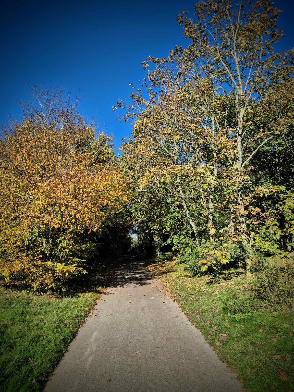
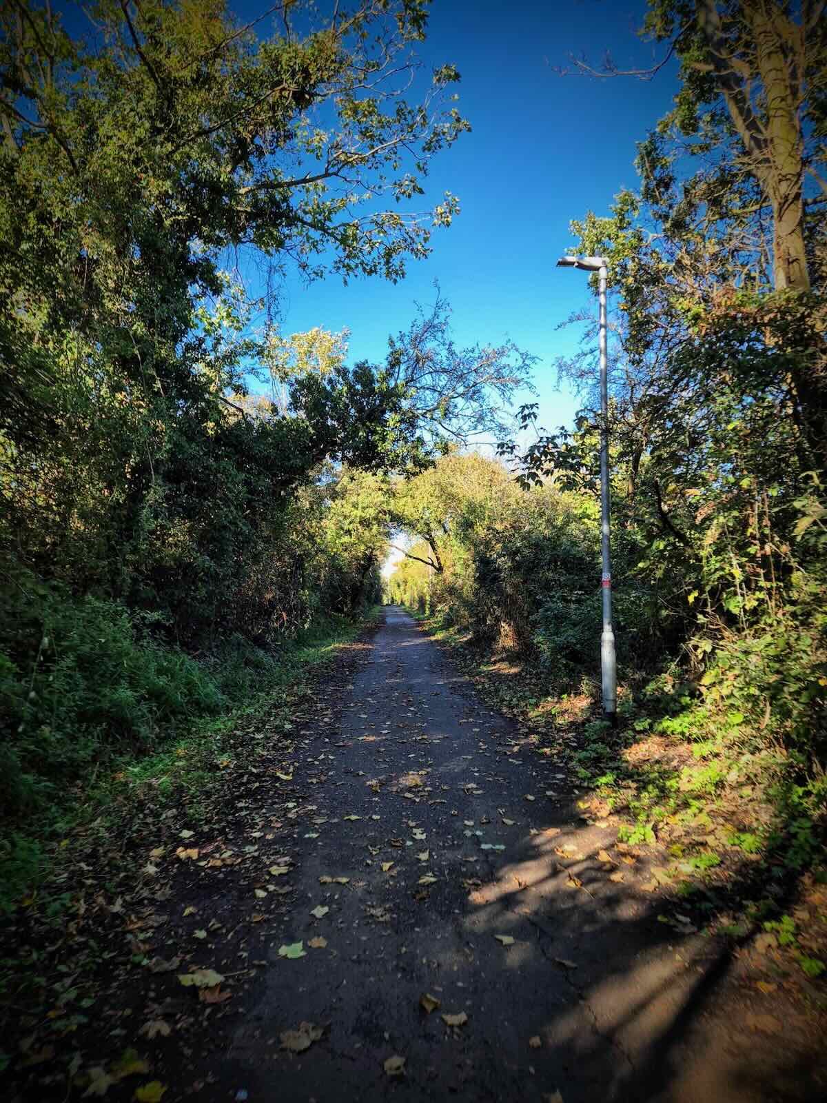
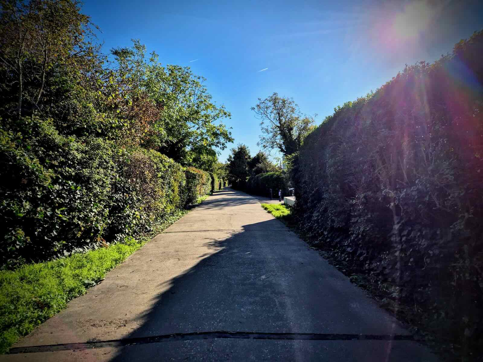
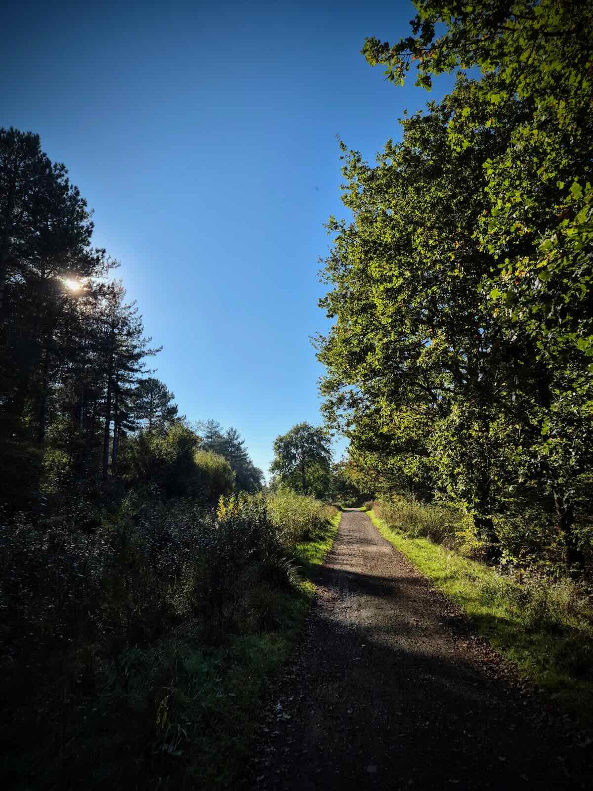
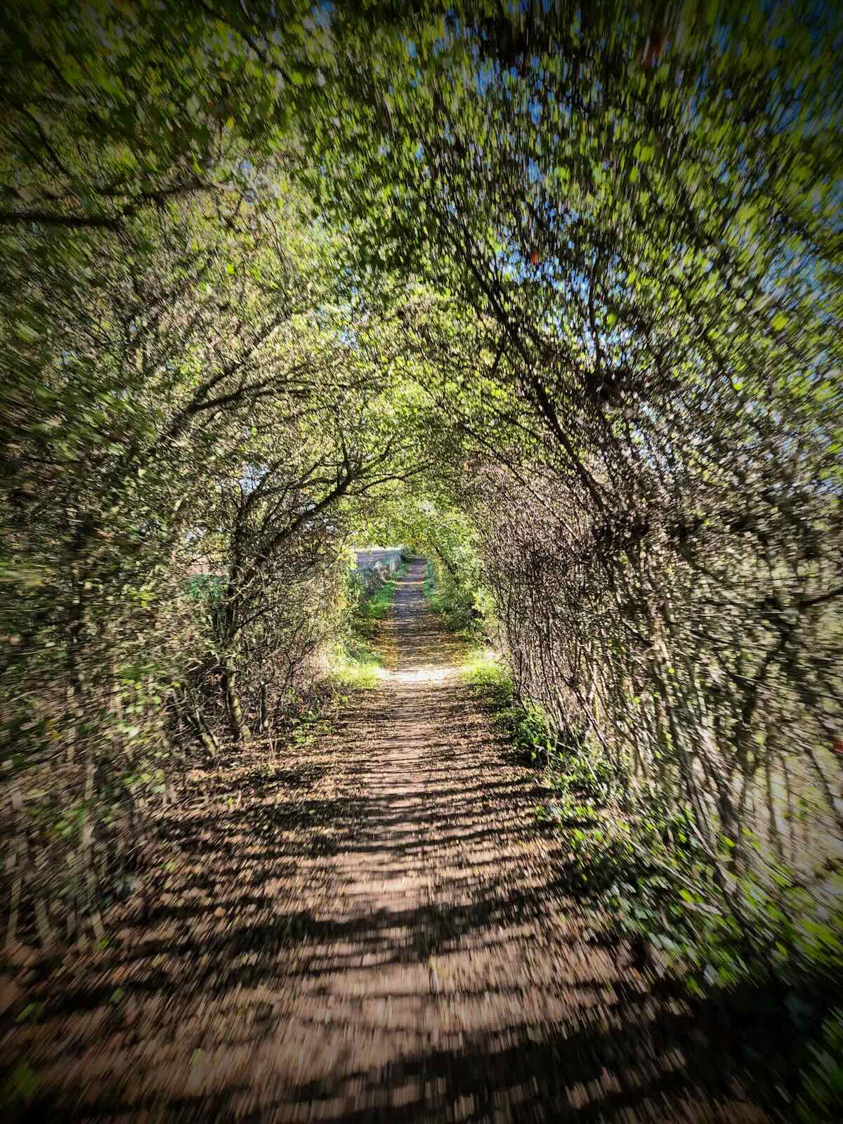
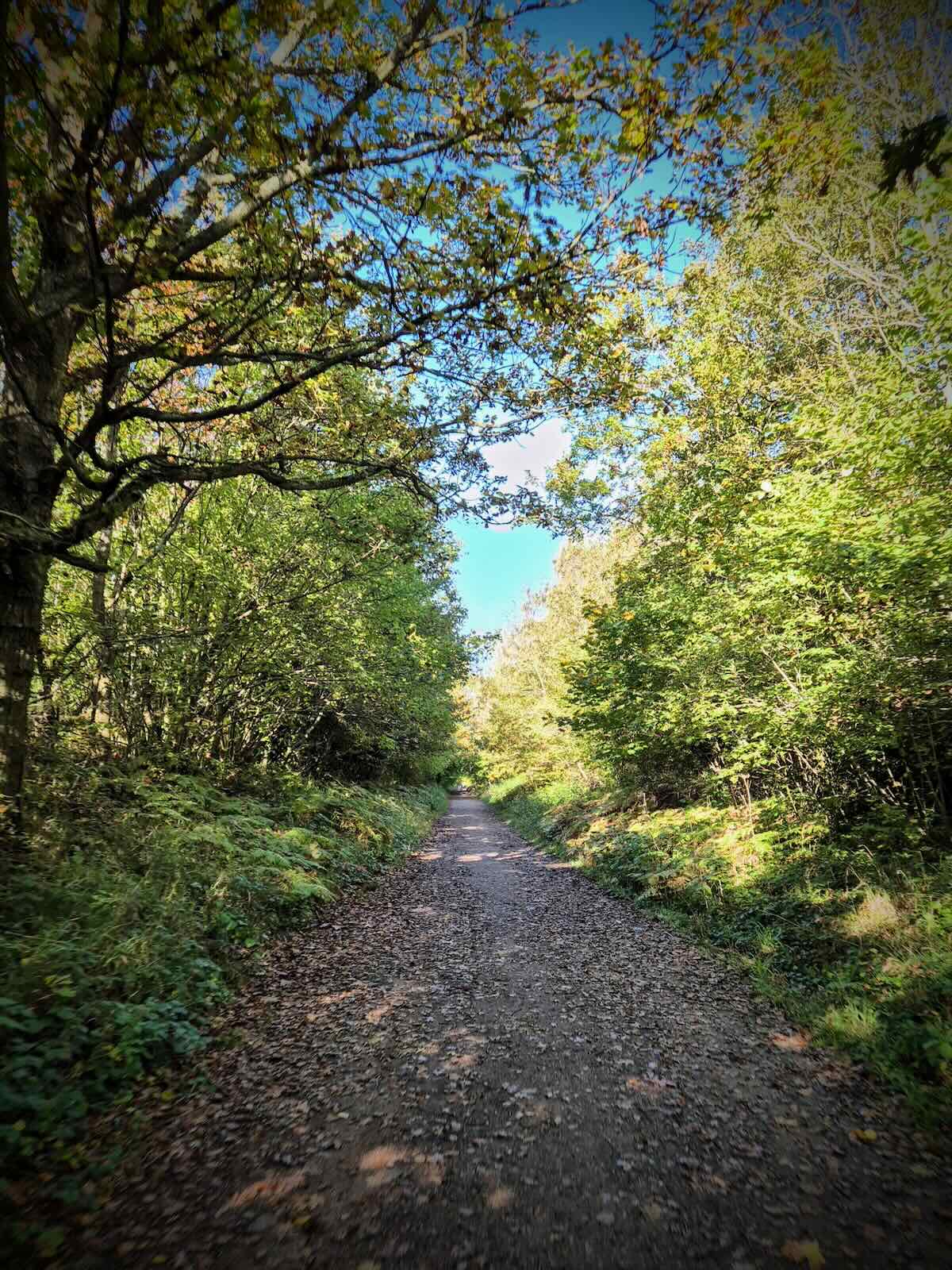
Once out of the farm, there’s a short section along Chapel Lane, which then turns into a gravel path. At this point, it was starting to feel like the Crab and Winkle Way proper as the path continued among the trees, working its way down towards Whitstable. This was really enjoyable to ride.
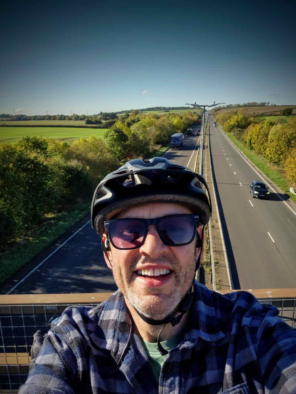
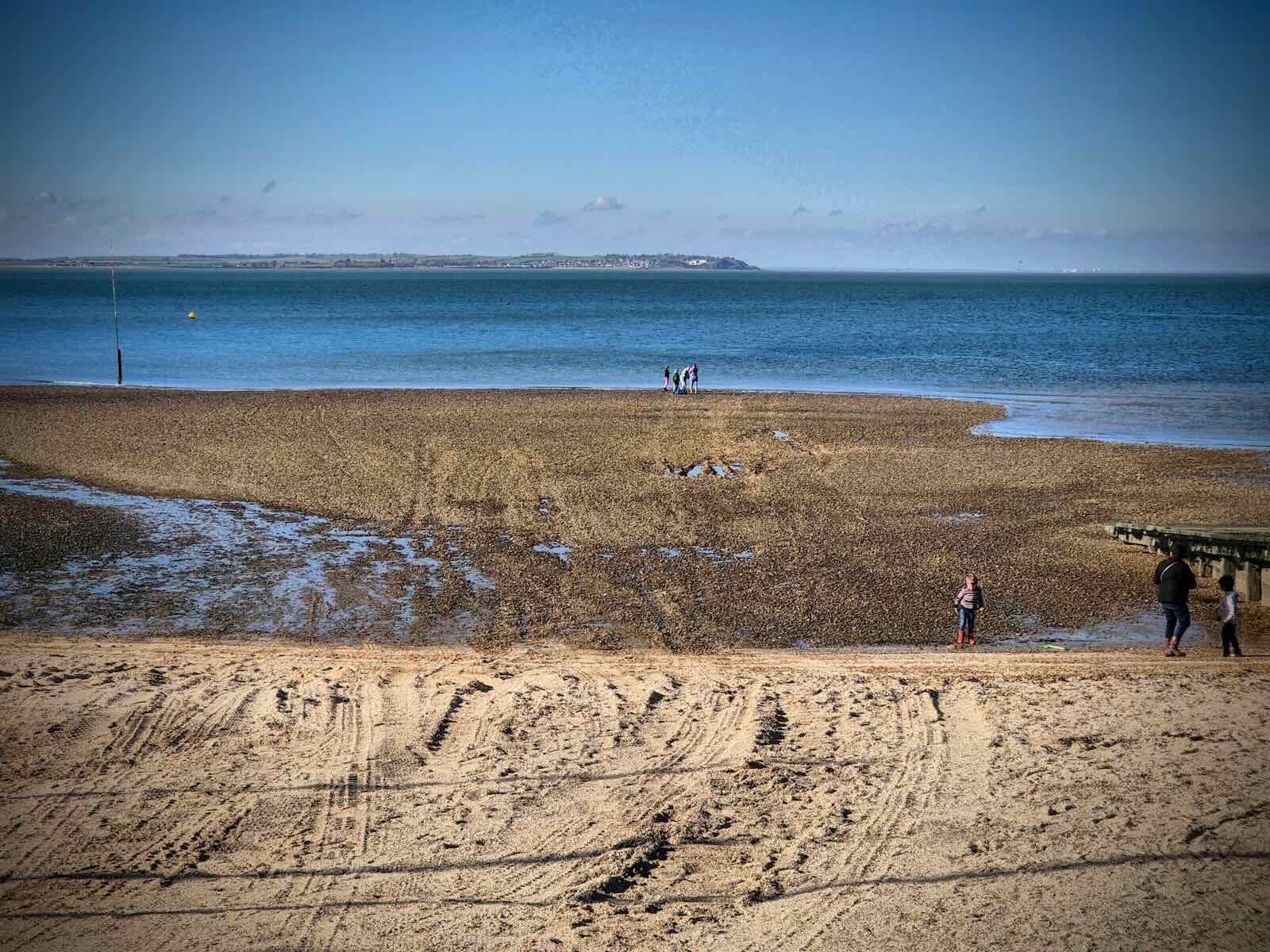
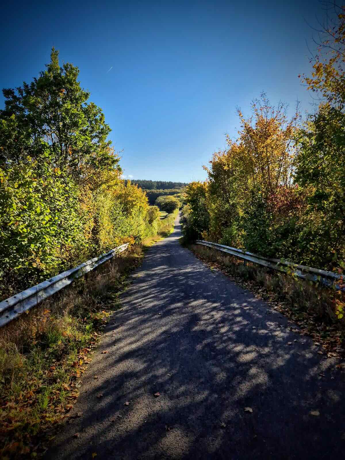
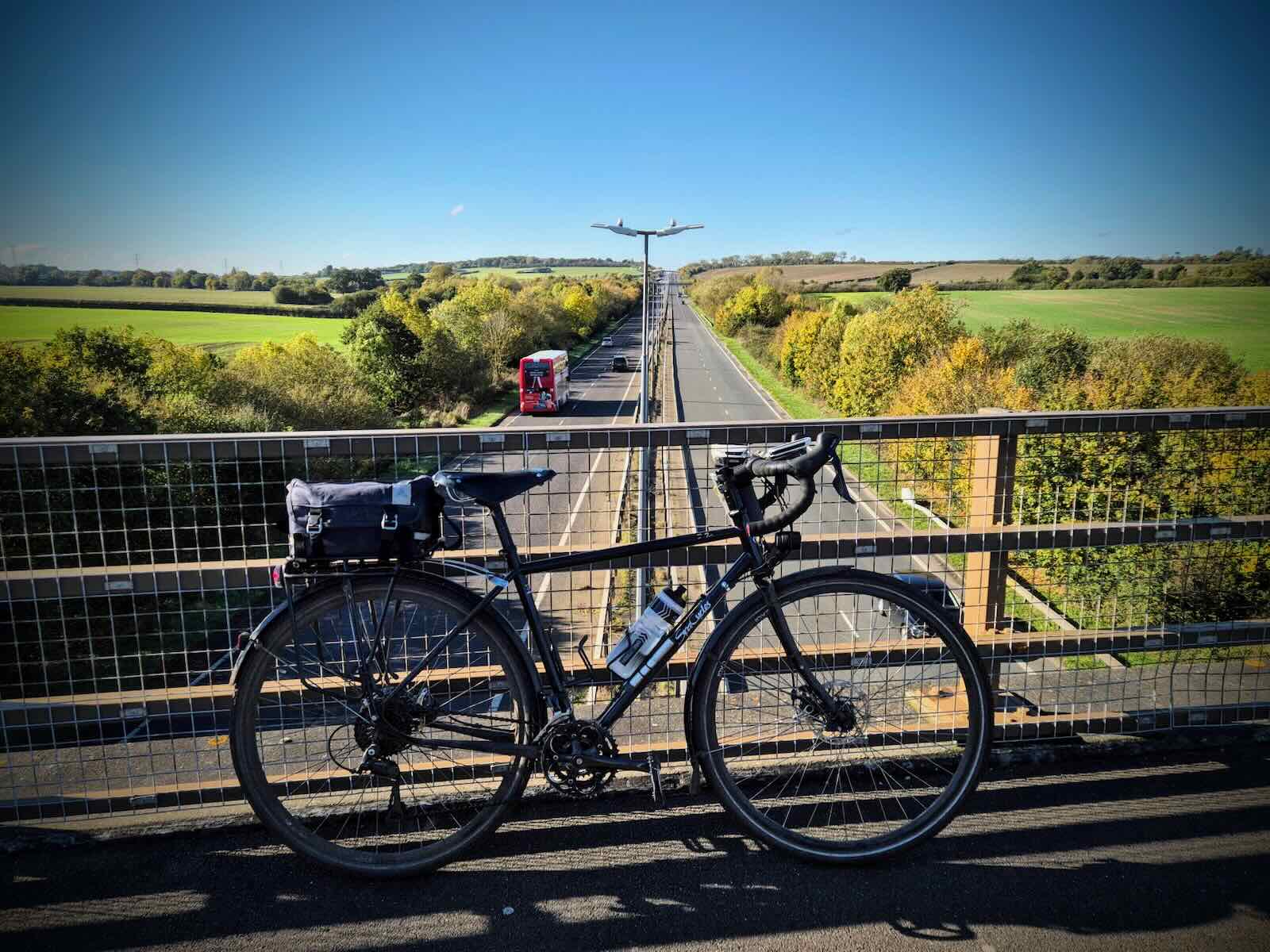
The path made its way onto a bridge over the A299 Thanet Way, where I stopped for a few photos. After a short break, I continued along a short section of gravel path, which ended and brought me out onto a quiet local road, South Street.
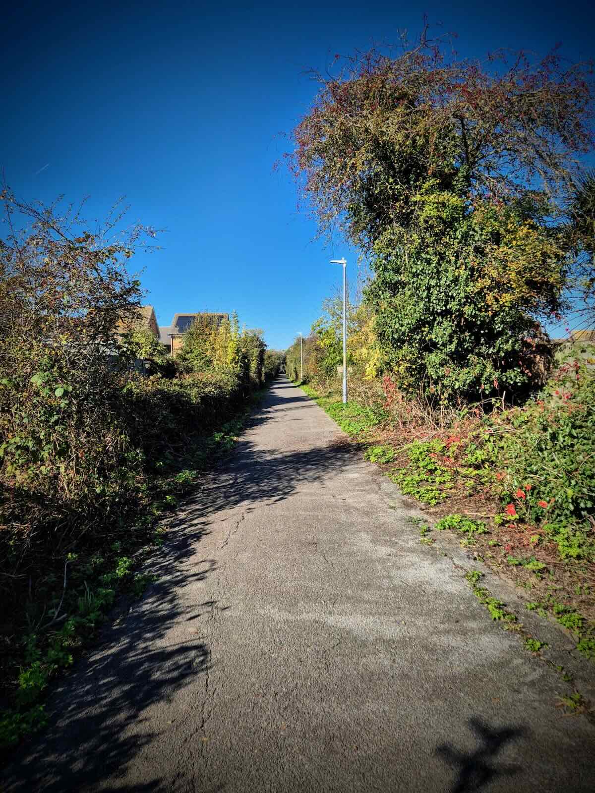
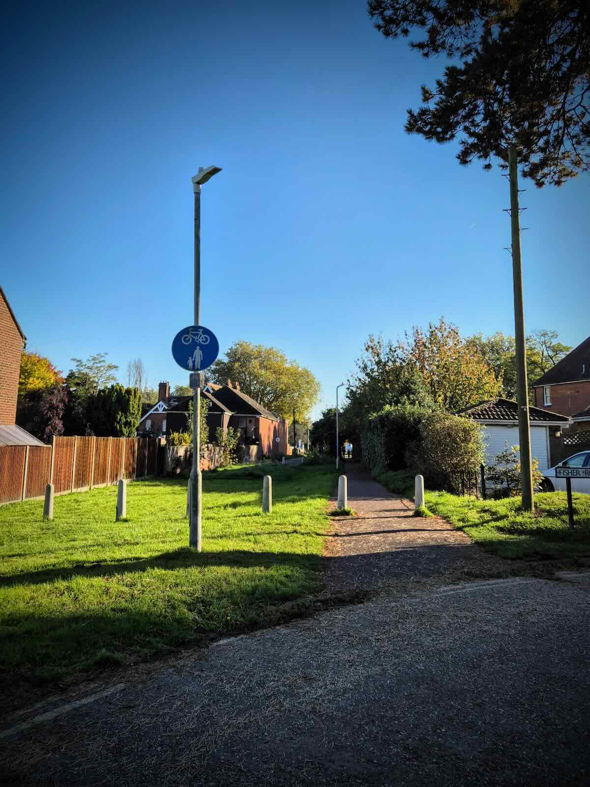
After riding along South Street for a short distance, I took a turnoff to return to the Crab and Winkle Way. At this point, the path was straight, with a sealed asphalt surface and lighting. Passing under an old bridge, it felt very rail trail and was clearly once the route of the railway line.
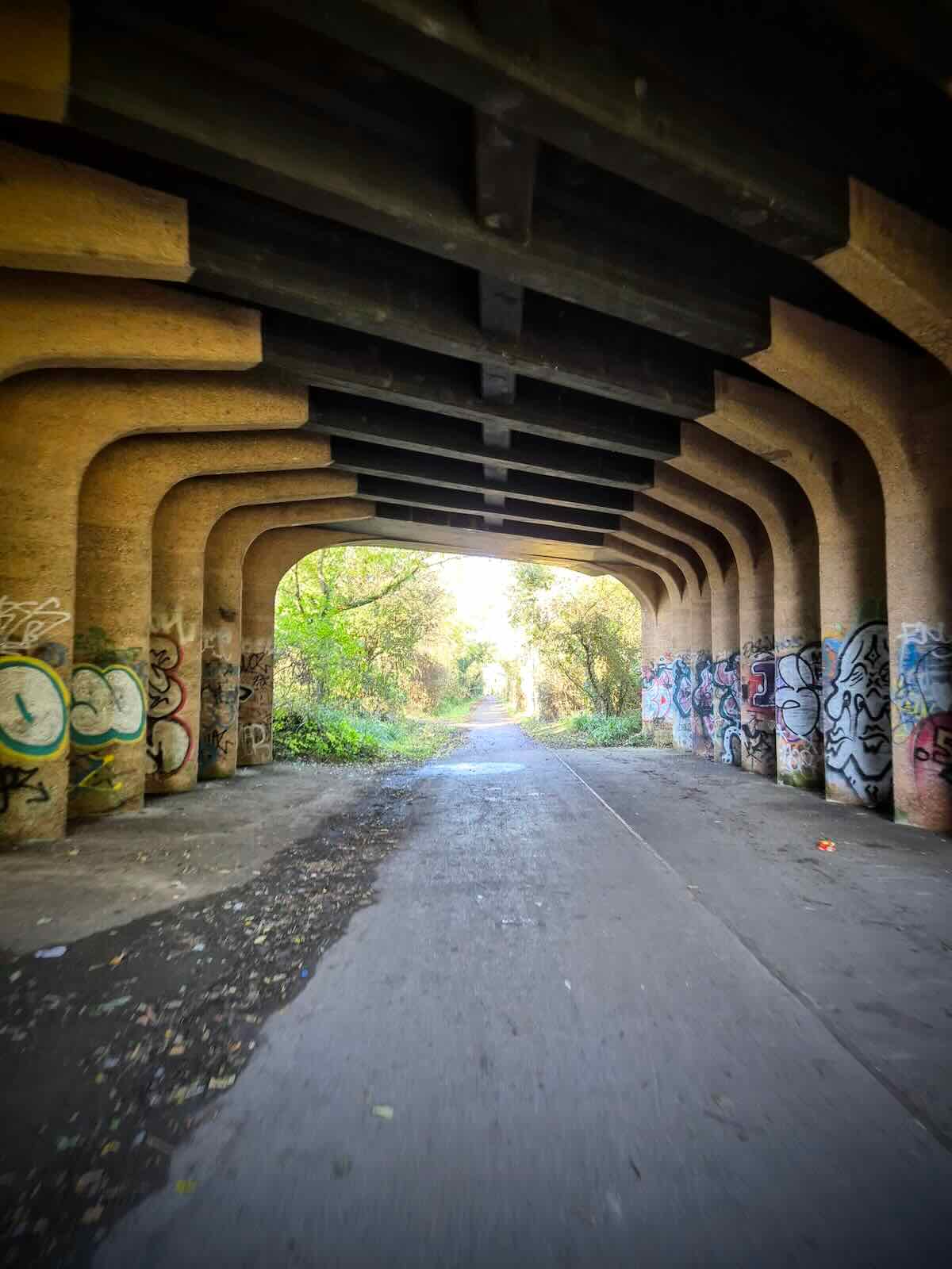
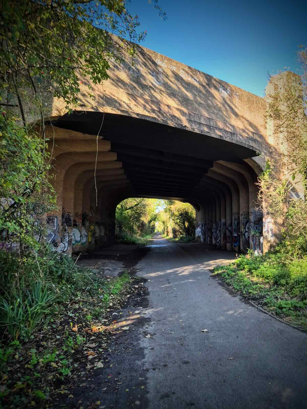
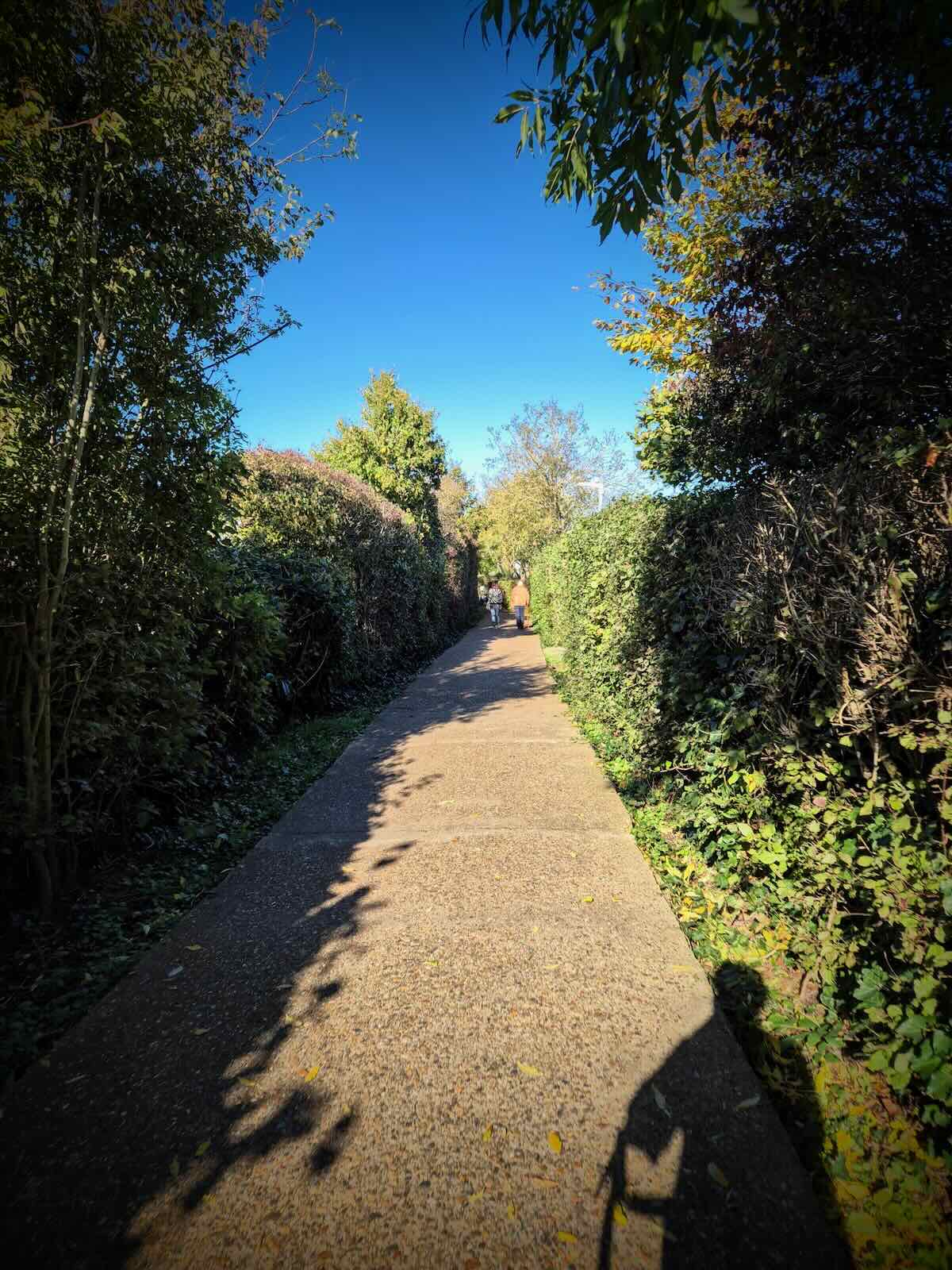
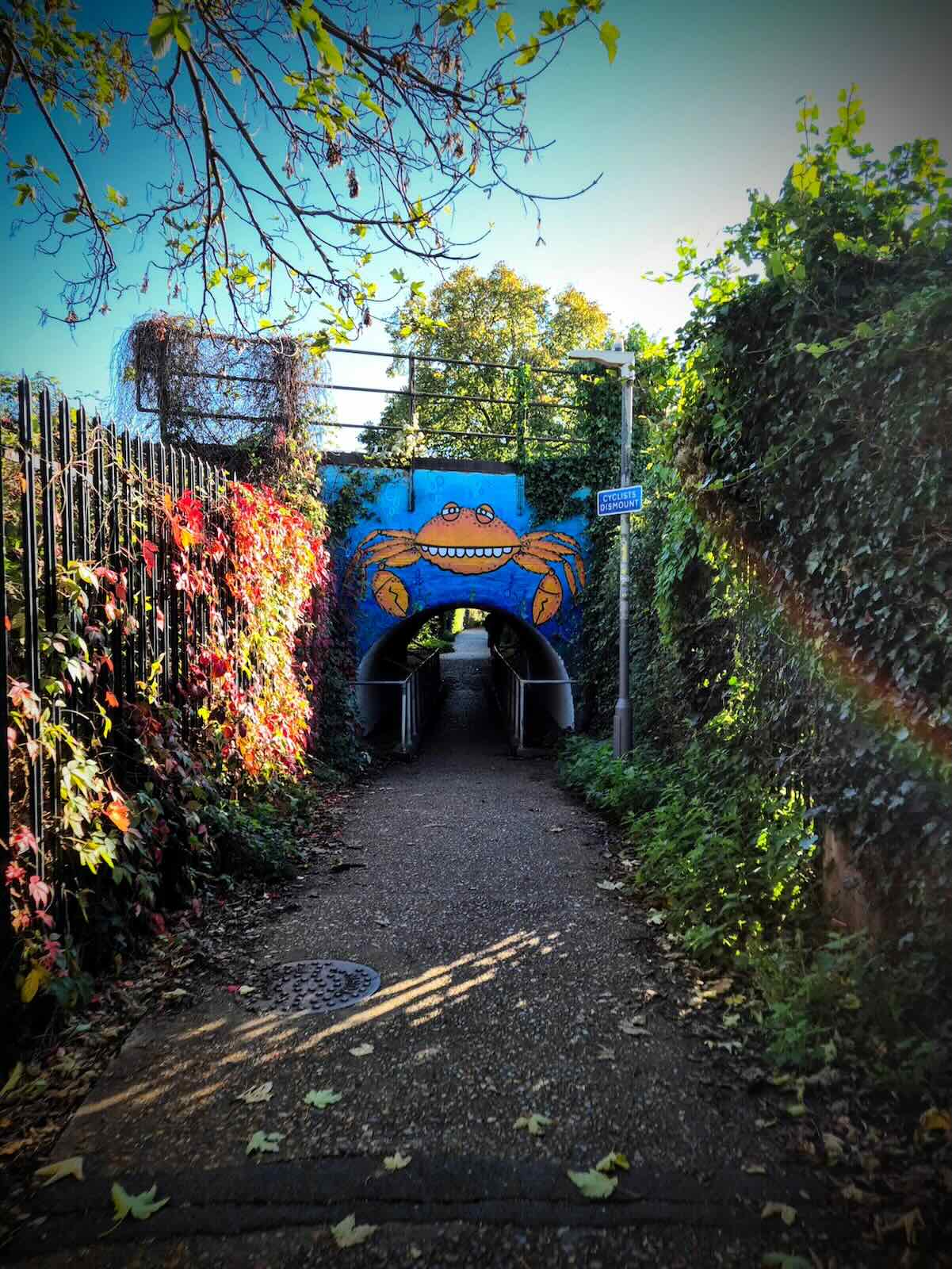
Briefly passing through a housing estate, the Crab and Winkle Way continued on a concrete path and under the remaining railway line into Whitstable, through a decoratively painted bridge. After the railway, I was now on the backstreets of Whitstable, where I continued towards the harbour.

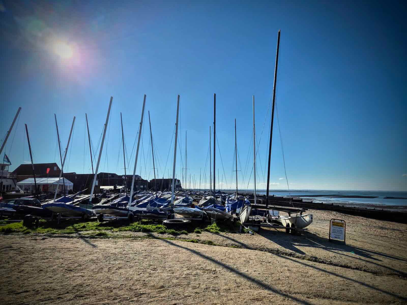
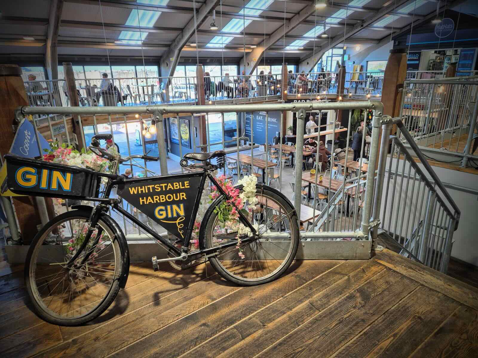
Arriving at the harbour, I parked the bike and went off in search for coffee and cake. After a pleasant short break, it was time to get back on the bike and head back to Canterbury. For this, I followed the same route that I came on, just in reverse.

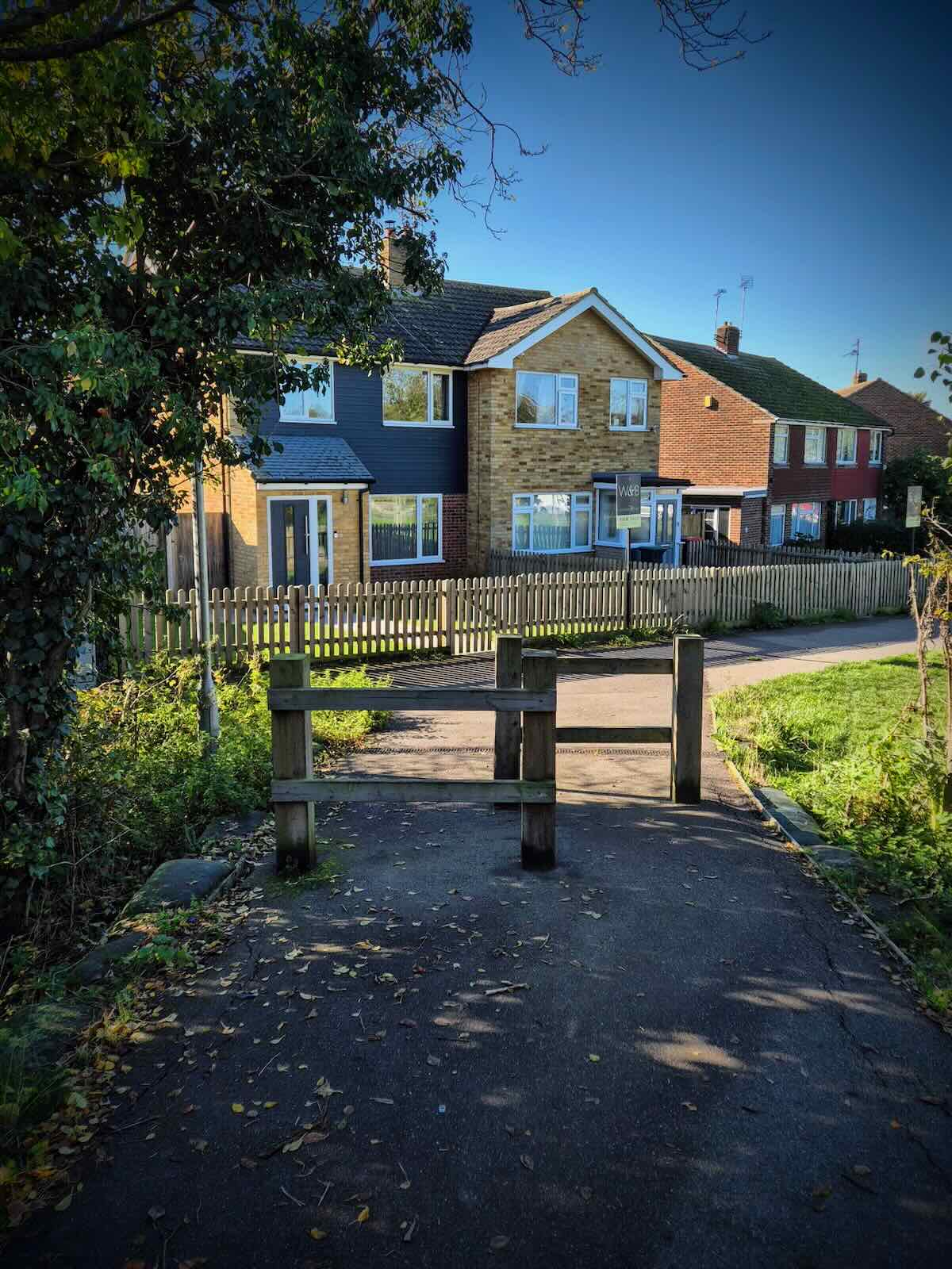
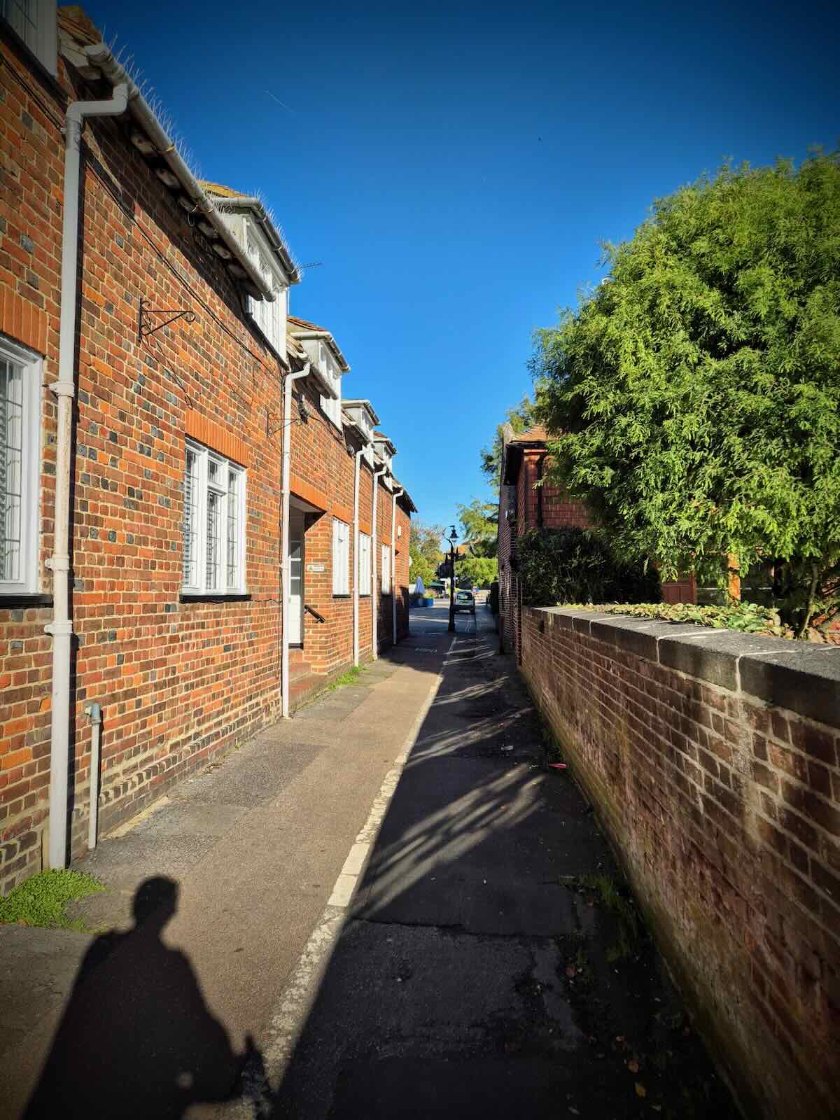
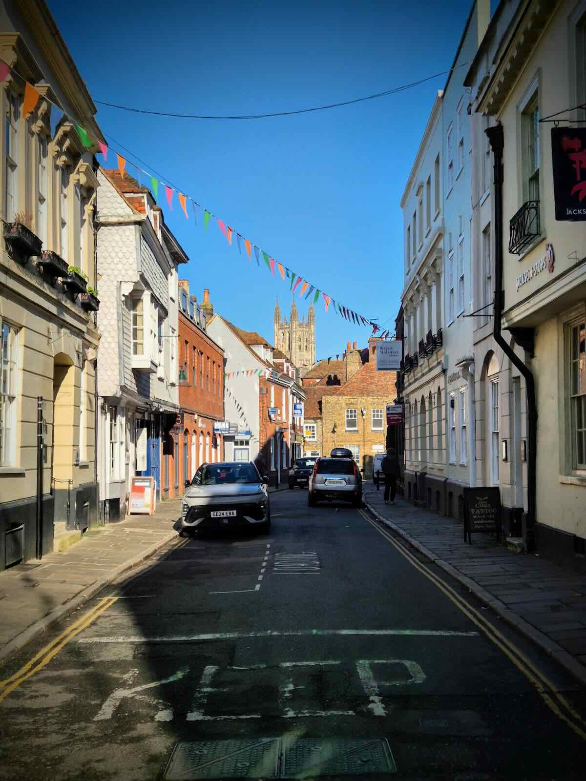
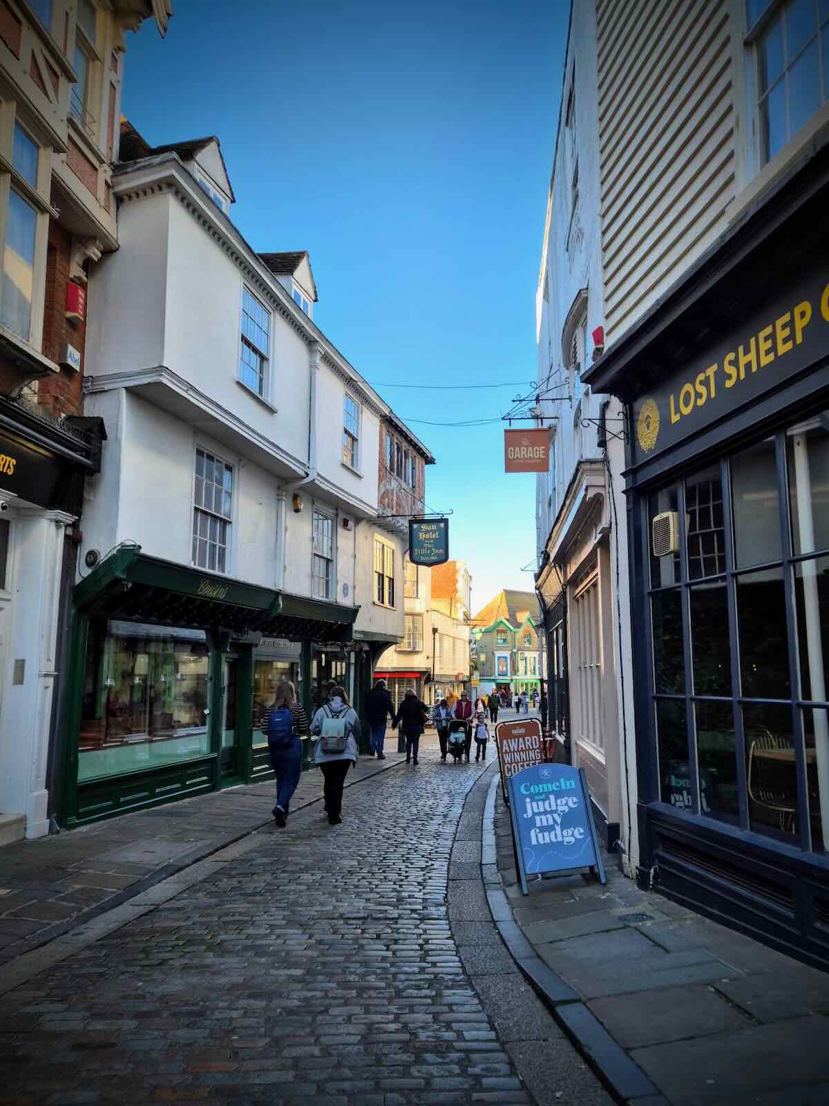
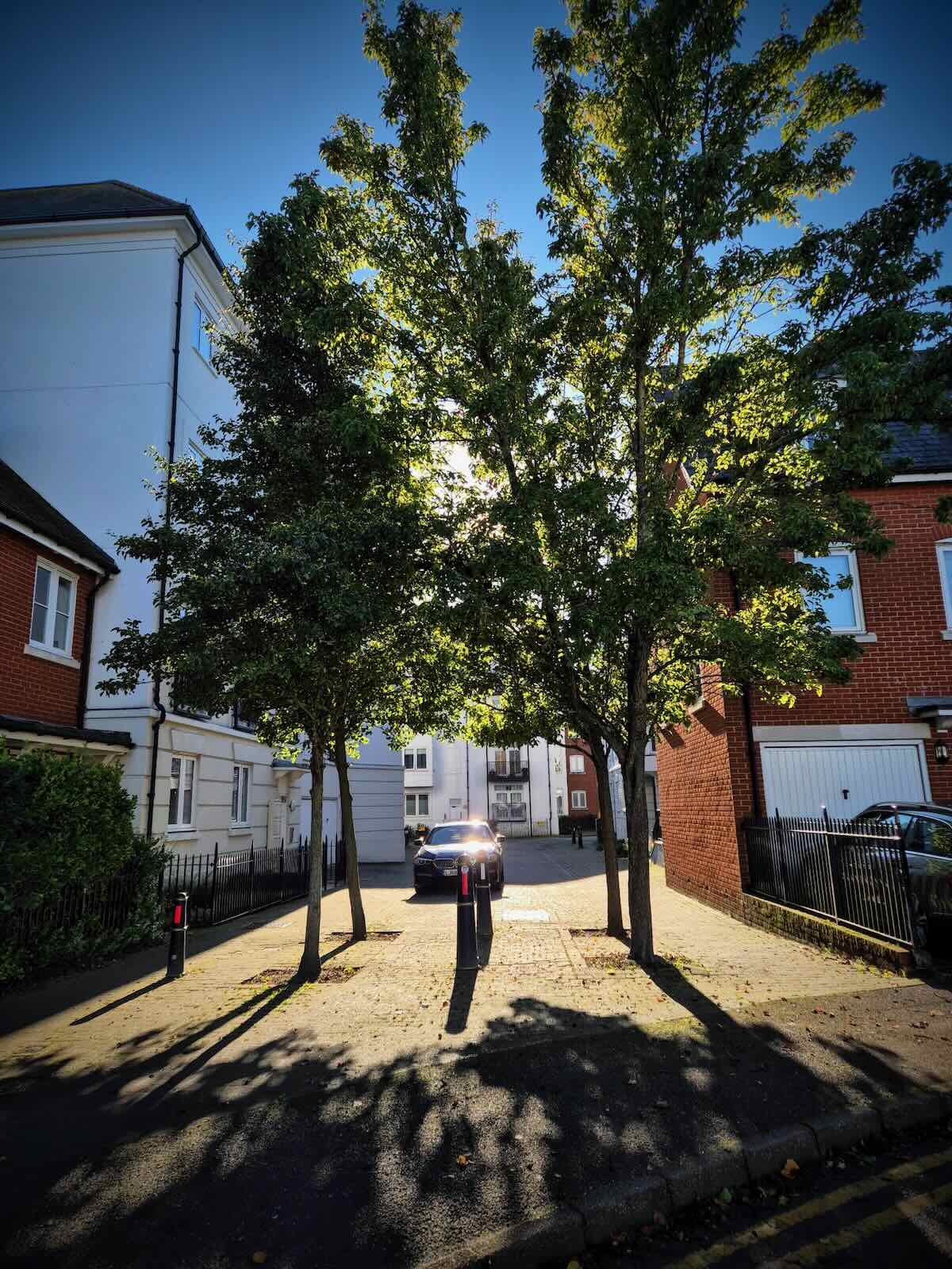
It wasn’t too long before I was back in Canterbury, as I headed into the centre to meet up with the others. As weaved my way through the city’s streets, I was struck by the amount of gentle density there was, made up of both old and new builds. This was a little surprising.

I was also pleasantly surprised by the number of quiet and filtered streets there were, which made cycling round quite an enjoyable experience, as long as you don’t stray onto the main A roads.
I really enjoyed riding along the Crab and Winkle Way again. It would have been nice to have continued further along the coast, so maybe I’ll have to return one day and explore further.